
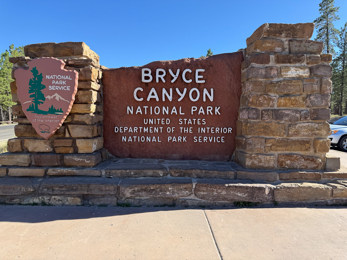
We spent most of the day at Cedar Breaks National Monument and then headed to Bryce Canyon National Park.

One of two tunnels cut through the red rock on the way to the Park entrance.
We didn’t have reservations for camping but took our chances. We got the last space available for tent camping in the two campgrounds in the park.
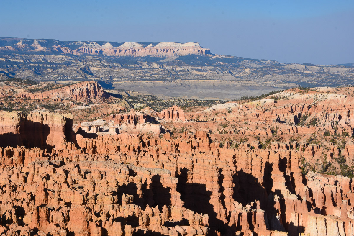
After securing our camping space we walked the trail along the rim for the views in the following photos.
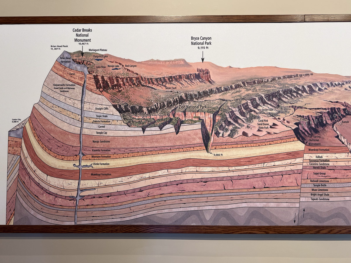
I took this photo at Cedar Breaks. It shows the geology of this part of Utah and where some of the parks lie in relationship to each other. It is interesting to see the layers of the rock so clearly.

Bryce Canyon is not really a canyon, but a collection of giant natural amphitheaters.
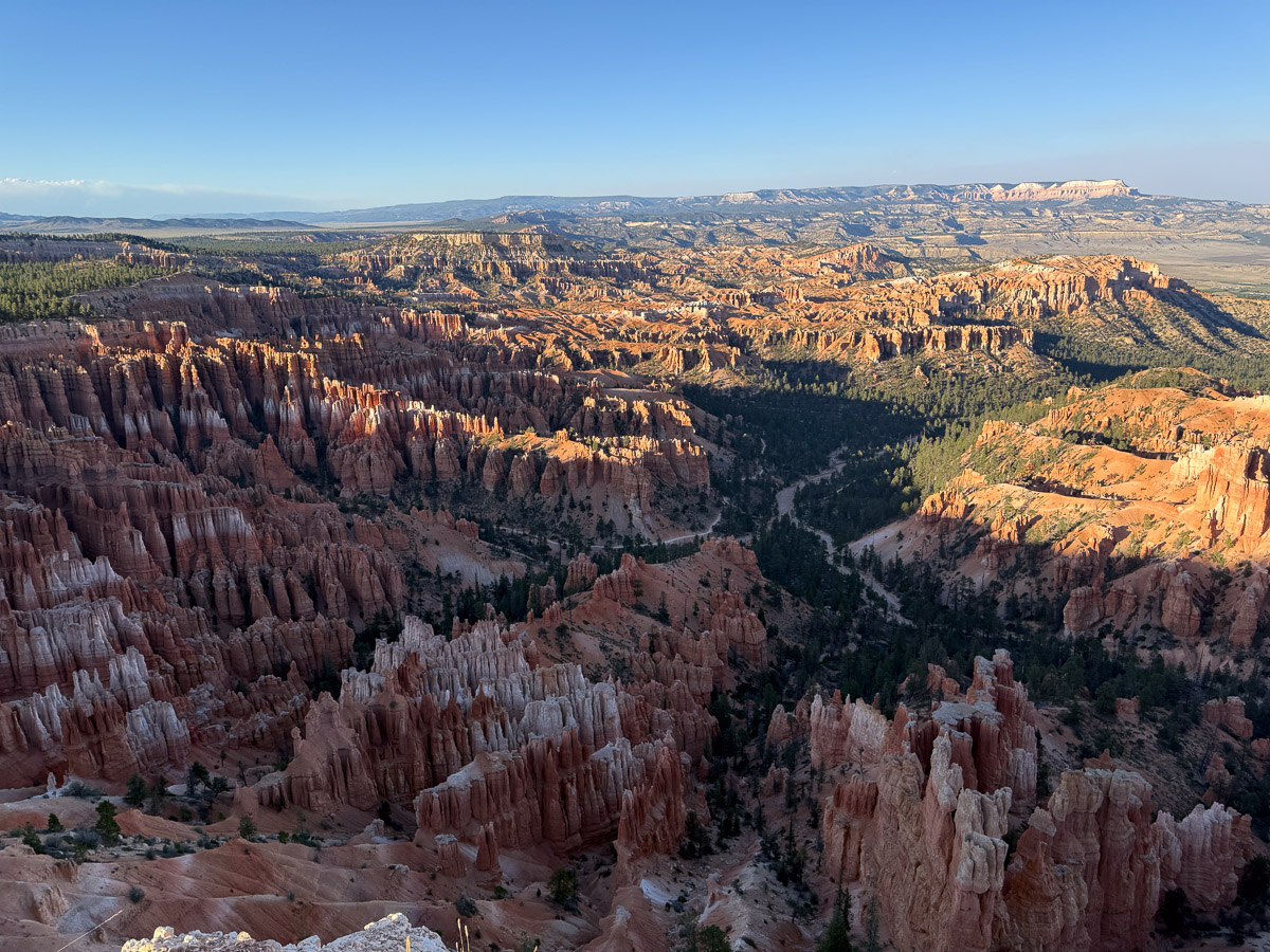
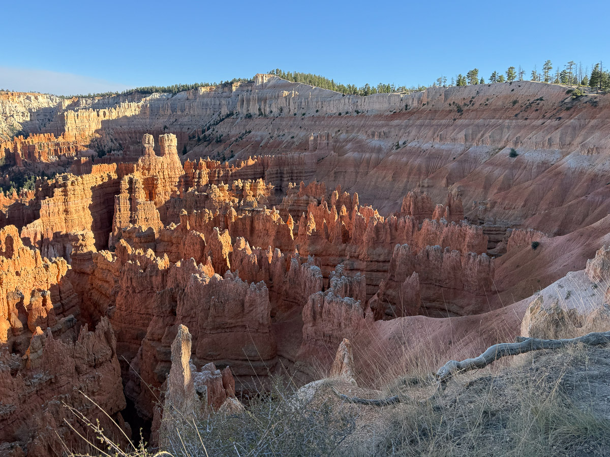
The towering formations are known as HooDoos. They are created as a result of water freezing and thawing and opening cracks in the rock, following by erosion. Bryce Canyon is known to have the greatest concentration of hoodoos in the world.
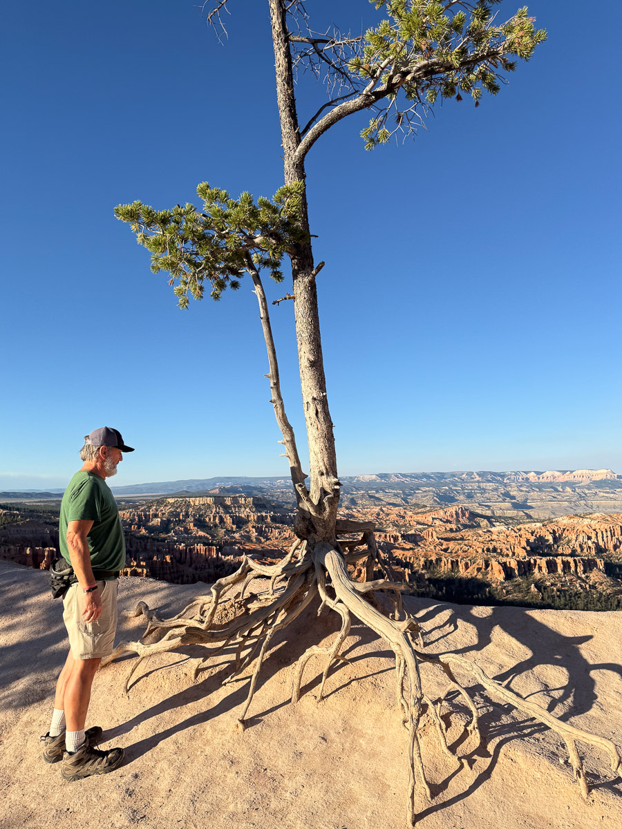
Bristlcone Pine along the rim.
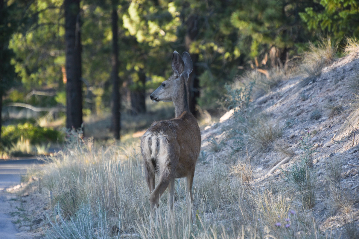
On the way bak to the campsite we found a family of deer.
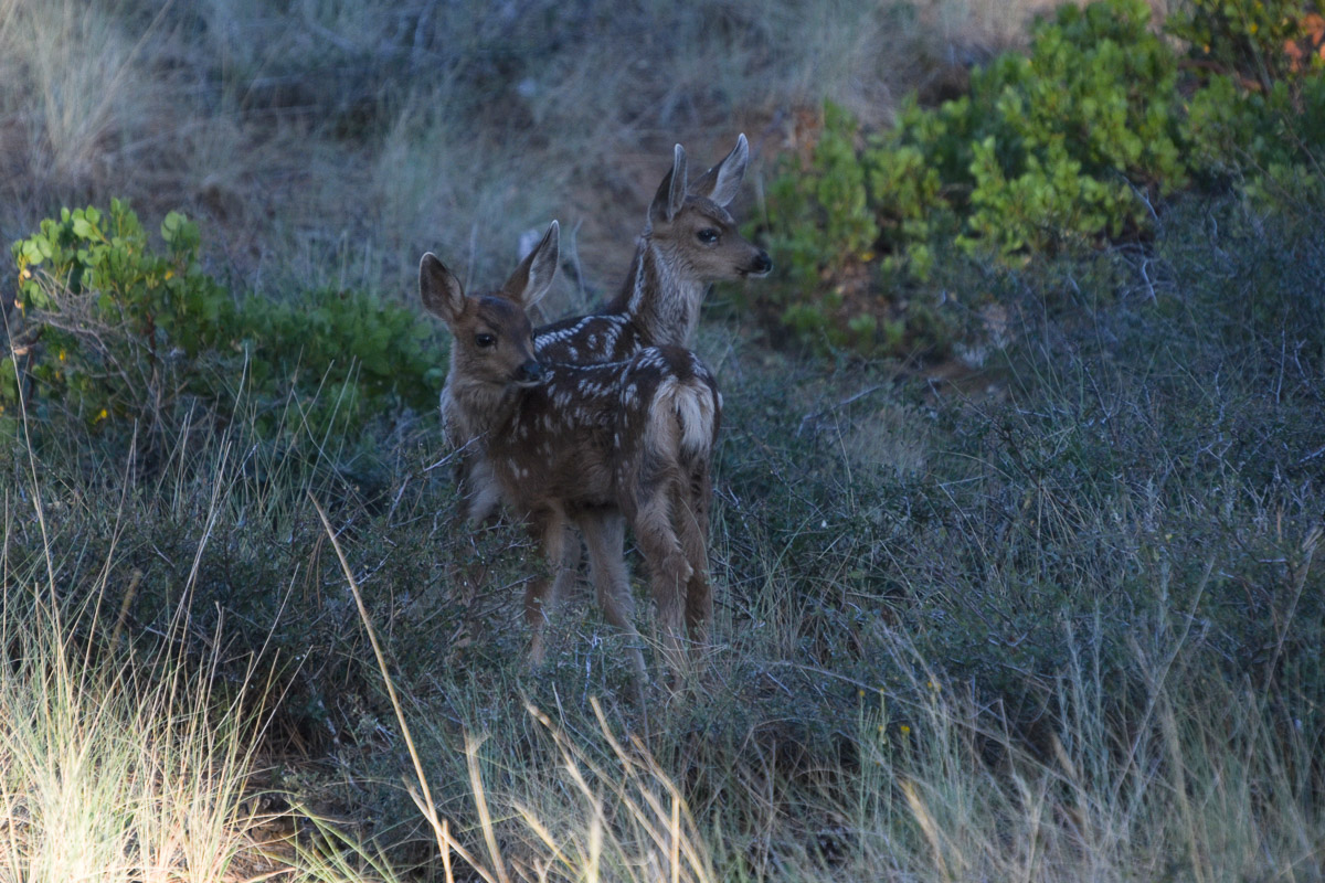
The doe had twins.
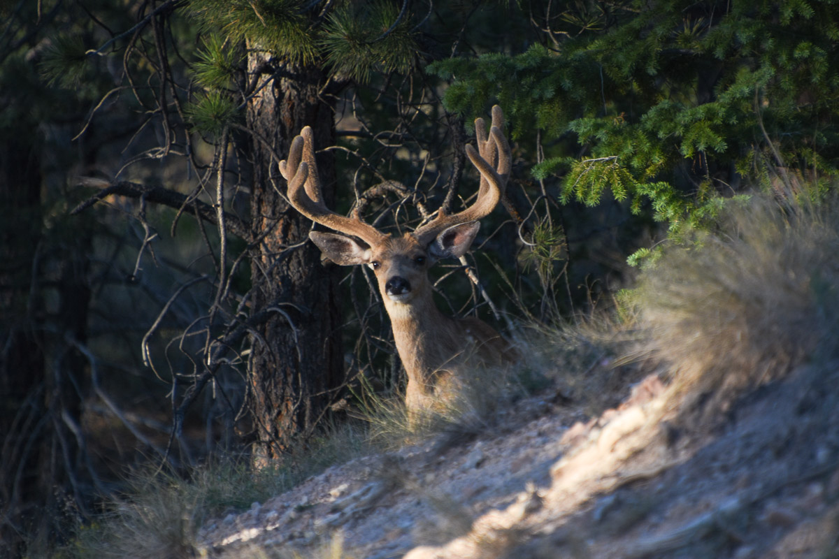
There was a buck nearby. In fact, there were 4 bucks, mostly younger than this one.
