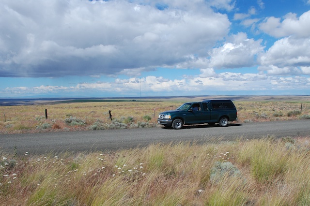
After leaving Imperial Stock Ranch in Oregon we were heading home. There are a lot of landscape photos at 70 mph in this post. I could have left out the blurry ones, but…hmmm…then I wouldn’t have all the impressions that I want to remember. Sorry. It makes me appreciate other people’s very sharp photos that much more.  The trusty green truck that Dan got for $5 when his dad moved to Hawaii. Landscape off Hwy. 97 in north-central Oregon.


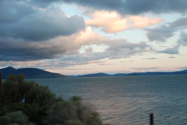
 Sunset over Klamath Lake in Oregon.
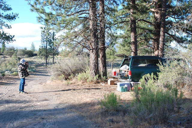
It was dark as we were looking for a place to camp along the road in California. I realized later that Dan had an ulterior motive for wanting to make it as far as Military Pass Rd., off of Hwy. 97 before it joins up with I-5. If you want to hike the north or east sides of Mt. Shasta that is where you find the trailheads and he wants to do that trip before he goes back to teaching in August. We found a place off the main road, ate what was left in the ice chest, and went to sleep. This is what it looked like in the morning.
 This is the view from our “campsite”.
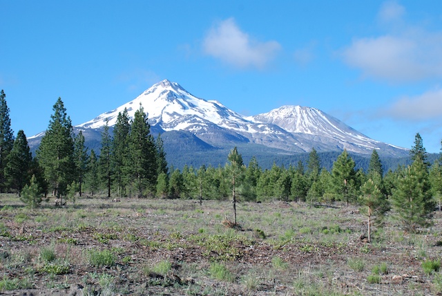
 It’s always a thrill to see Mt. Shasta when you drive into California from the north. The peak is 14,162′ and Shastina to the west is 12,330′.
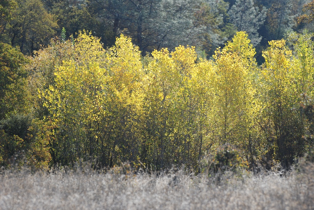
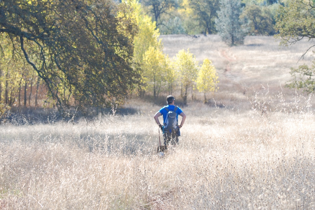
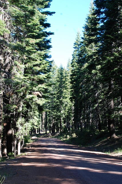
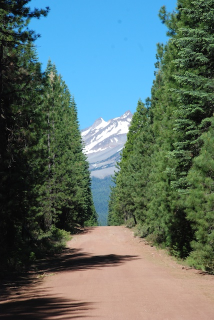
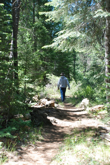
We spent the morning driving the roads that circle Mt. Shasta to the east and finally join up with the highway to head south.
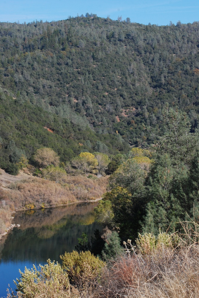
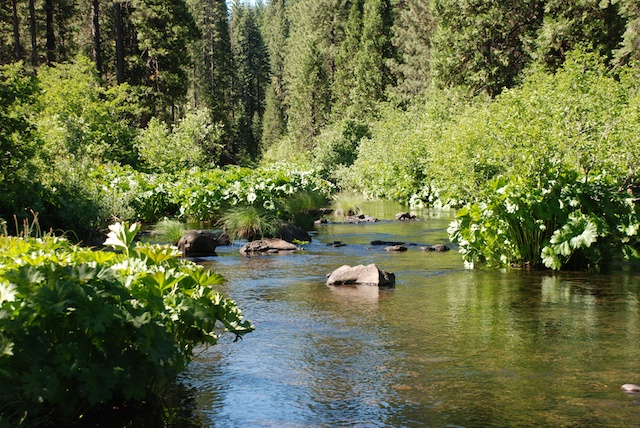
 We stopped several times at campsites and trails along the beautiful McCloud River.


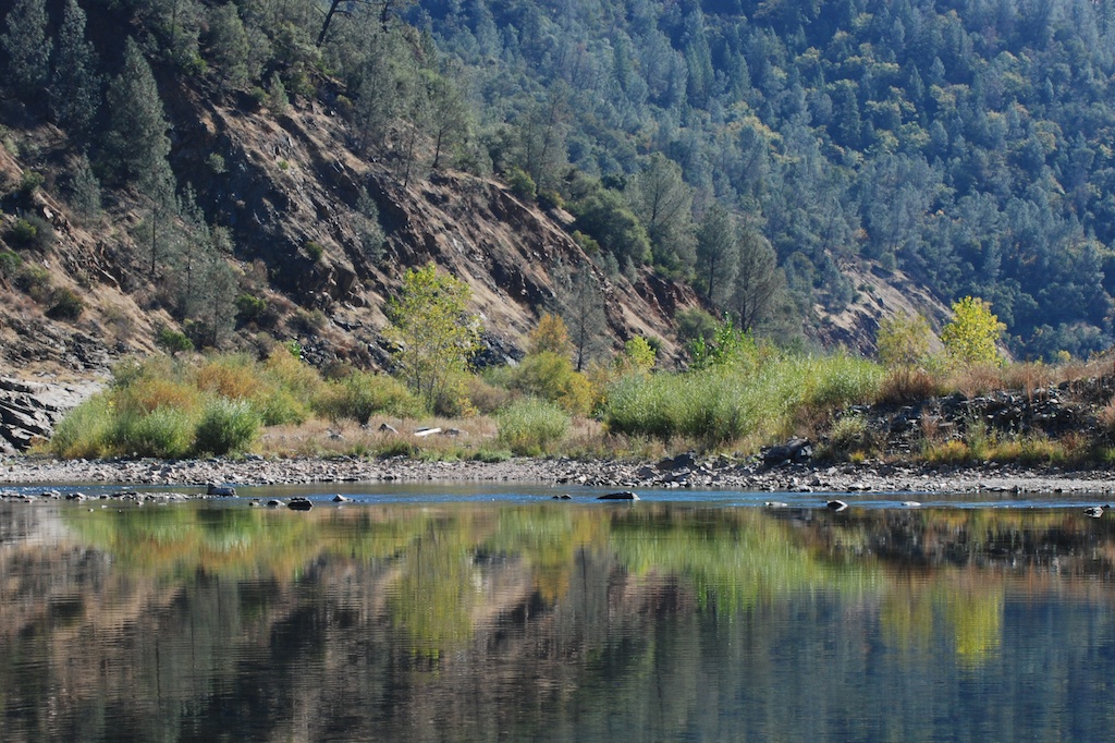
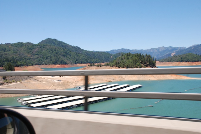
Finally on the last leg home. No more stops. Passing Shasta Lake, indicative of California’s severe drought. This is only June and the lake should be filled with snowmelt.
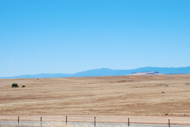
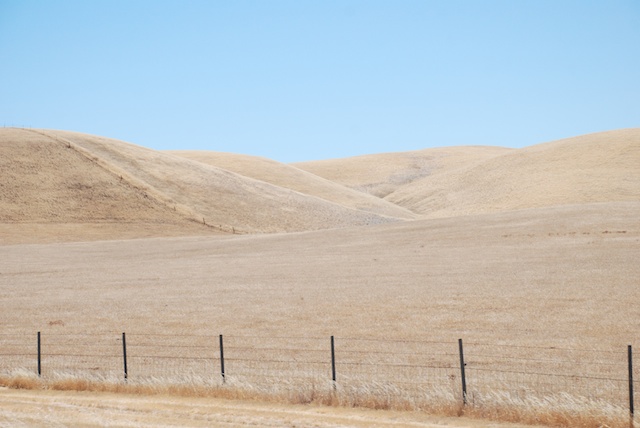
 Dry hills typical of the Mediterranean climate of California. Most parts of California have dry summers and wet winters. We depend on the winter rain and snowfall to fill reservoirs and replenish acquirers to be able to produce the abundant agricultural crops that California is known for.
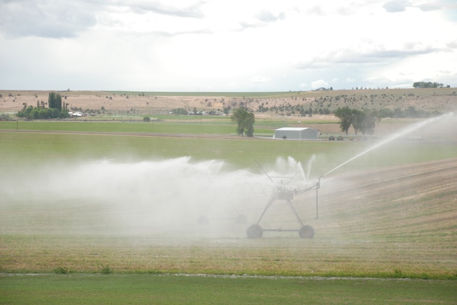
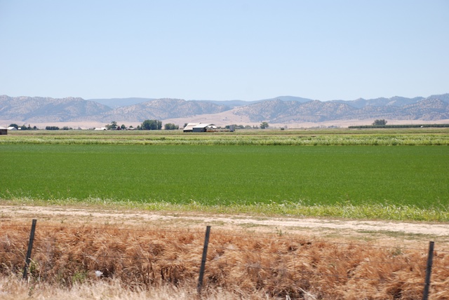
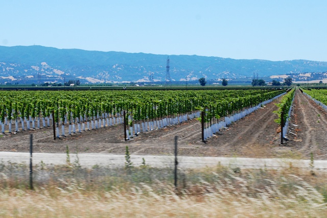
  With irrigation this is what the Central Valley looks like. This is a rice field.
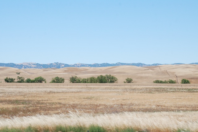
 This land is usually brilliant green from about October into April. The brown landscape is normal for unirrigated land. However, last year we had an early rain (September?) and then nothing. What grass germinated died. Many ranchers who depend on the fall grass to feed their cattle and sheep had to sell their livestock. The next rains came in January and they were meager. There was not enough rain or snow, especially following other years of relatively dry conditions, to catch up. You can read about the affect of the drought on California’s farmers and ranchersat Voices from the Drought on Facebook.

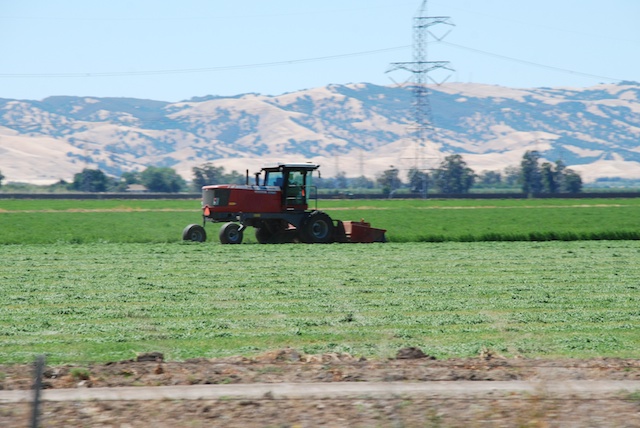
 Harvesting hay.
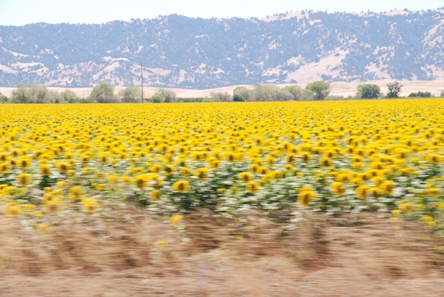
 Sunflowers at 70 mph. The dry hills are typical of California in the summer. The valley crops are grown with irrigation water.
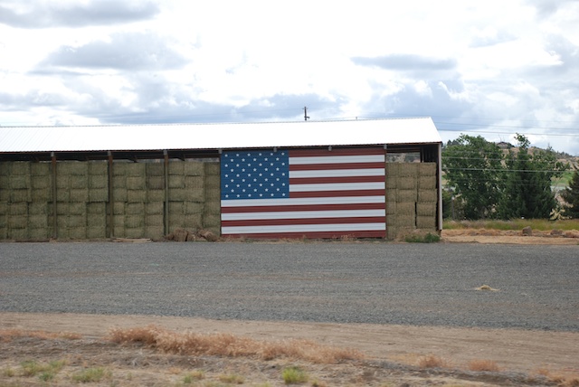
Well, I got sidetracked into a semi-documentary. These photos in Yolo and Solano Counties meant that we were getting closer to home.
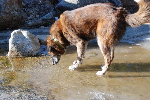
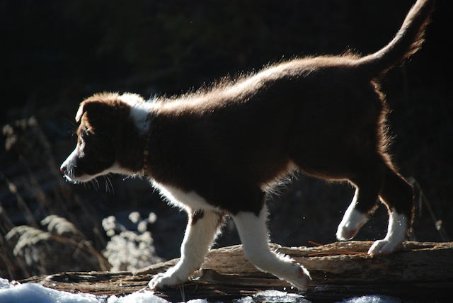
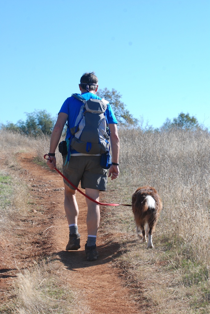
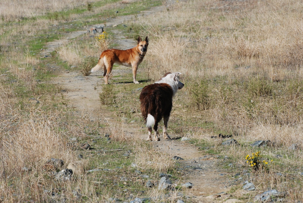
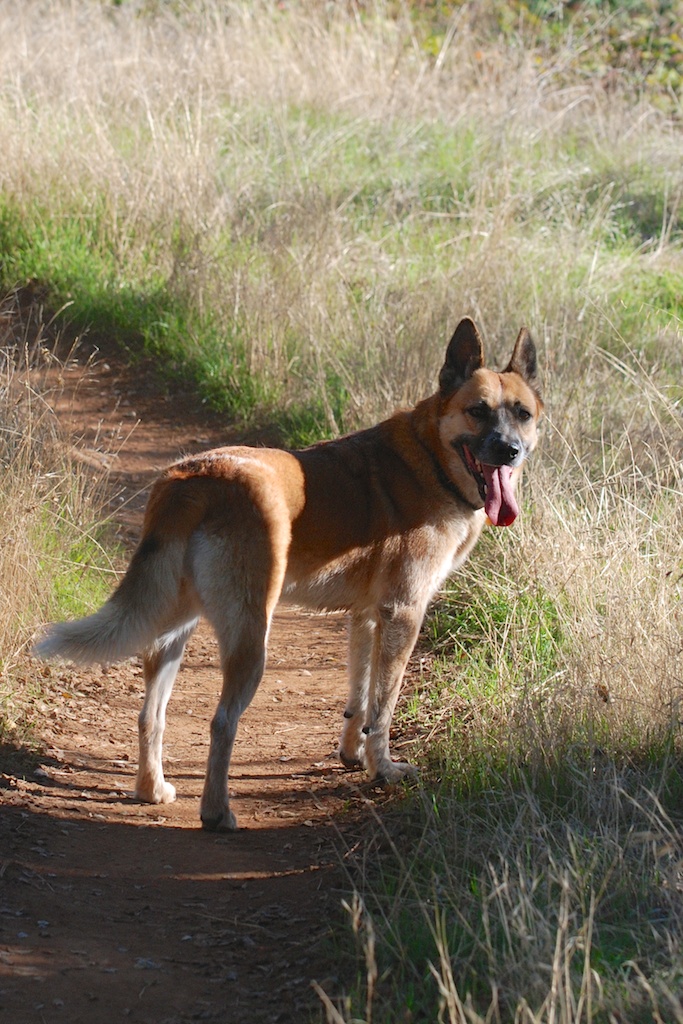
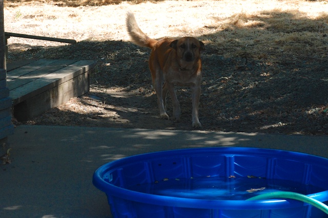
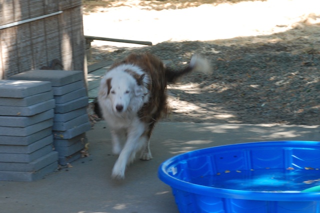
Here is who greeted us when we pulled in (my camera doesn’t seem to be doing any better at 0 mph).

 We had a wonderful trip but it’s good to be home.

 Sam on ice.
 Ginny on ice.
 Kirin on ice.
 Meryl and Chris on ice.
 Chris on ice–this time on purpose.
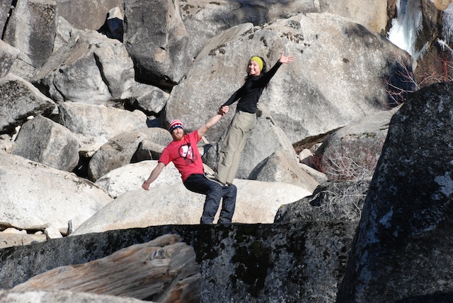
 Matt’s version of the louge…
 …followed by the skeleton…

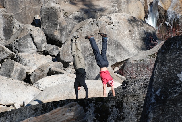
 Here he breaks form before breaking his head.
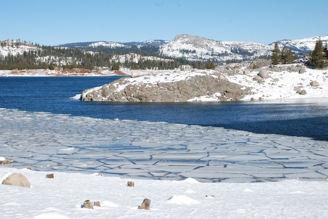
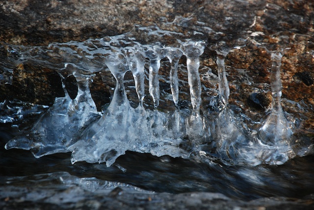
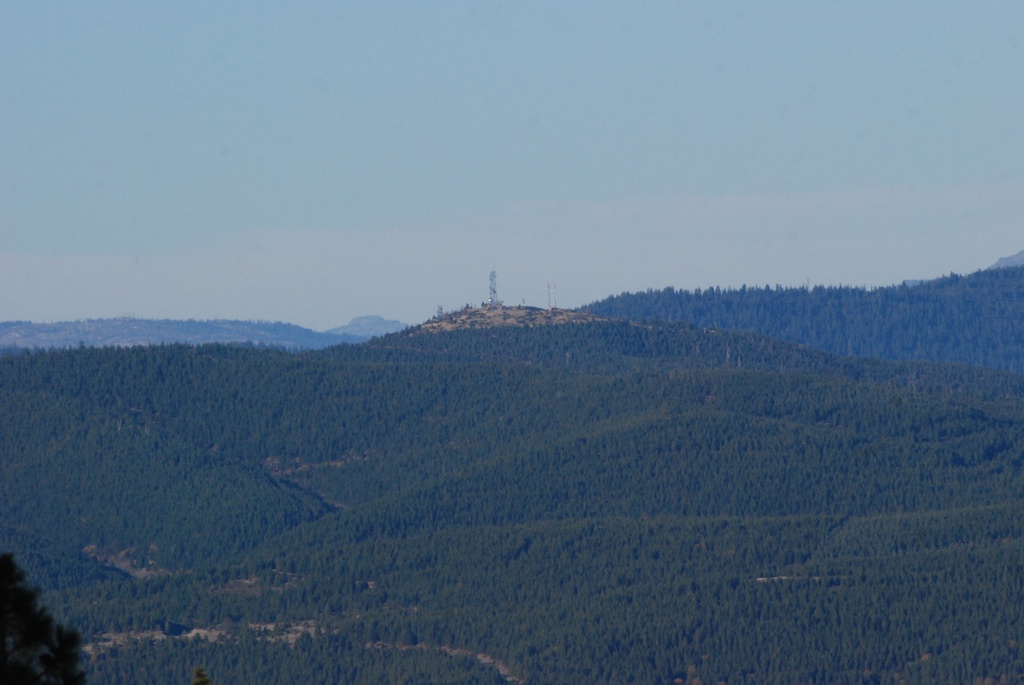
 …to the trail to Bassi Falls at about 5400′ elevation.
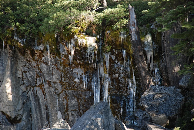
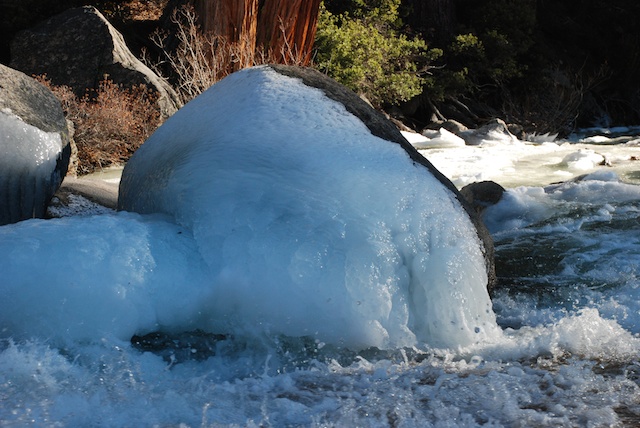
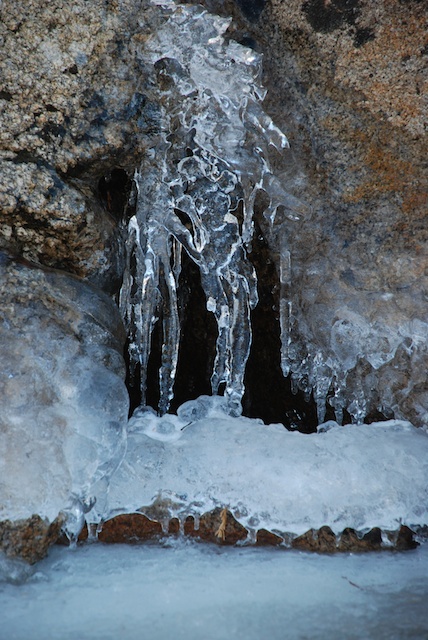
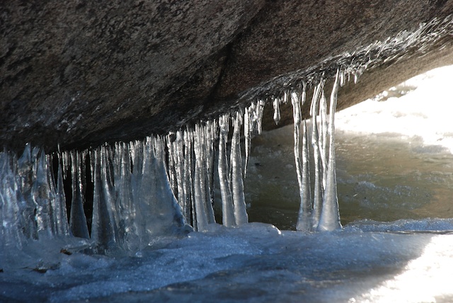
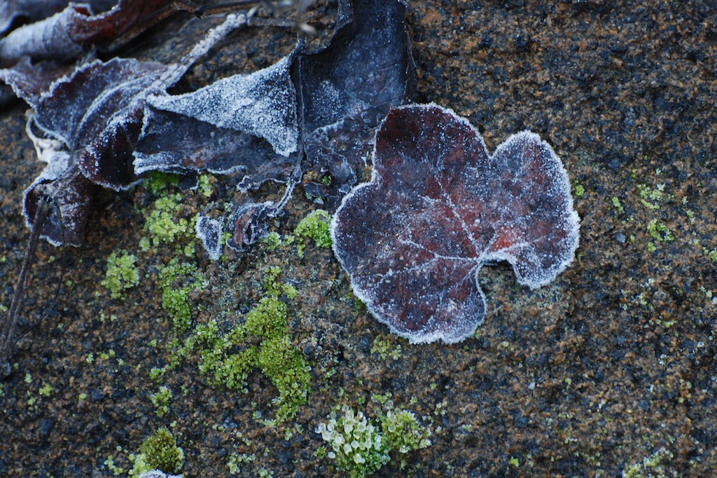
 There wasn’t enough snow to snowshoe but there was no wind and the other signs of winter were still there.
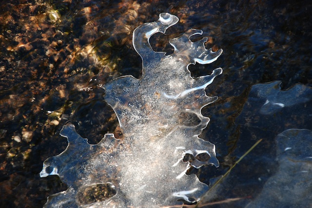


 As I’ve said in


