It’s been almost a month since this trip, and I can’t move on in the blog until I finish this…and find more time. So this is a quick finale to the trip.
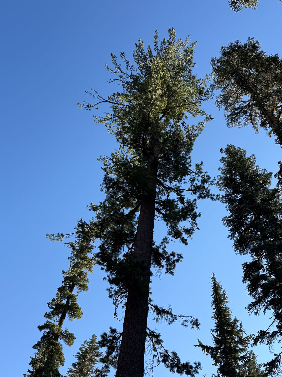
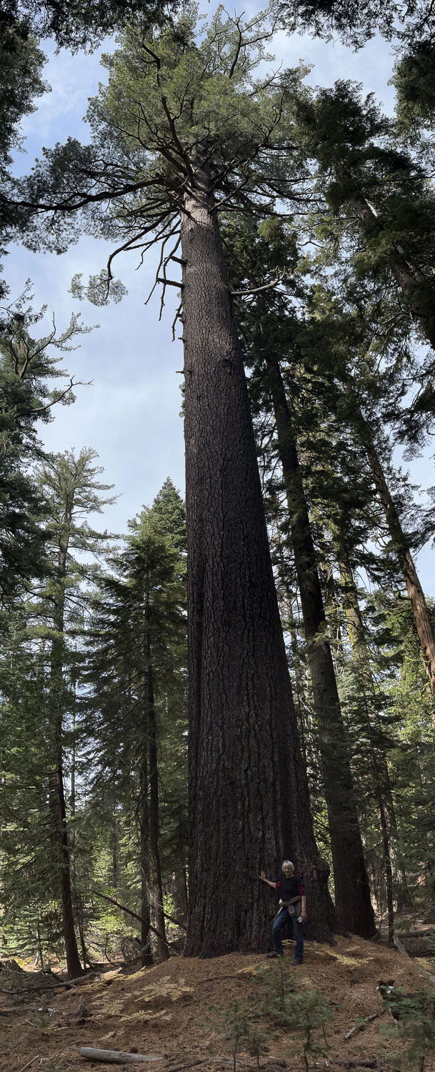
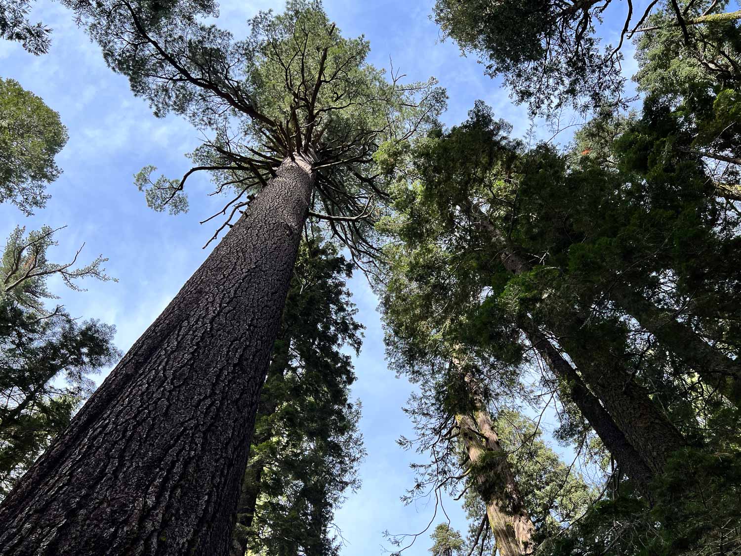
This tree was right next to our tent. The significance is that both mornings we woke up hearing large things falling on the tent.
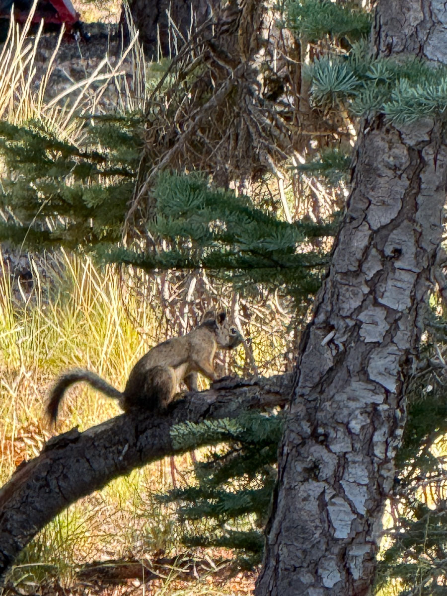
It turns out that this squirrel was trying to kill us. He (?) was at the end of branches dropping fresh hard pinecones on the tent. We know this because later, as we were eating breakfast we heard more pinecones drop and finally saw him.
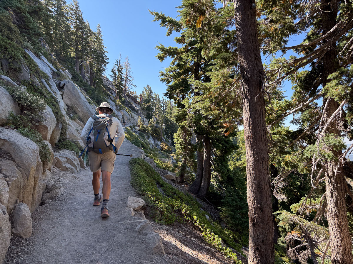
We chose the trail to Bumpass Hell for the morning’s hike.
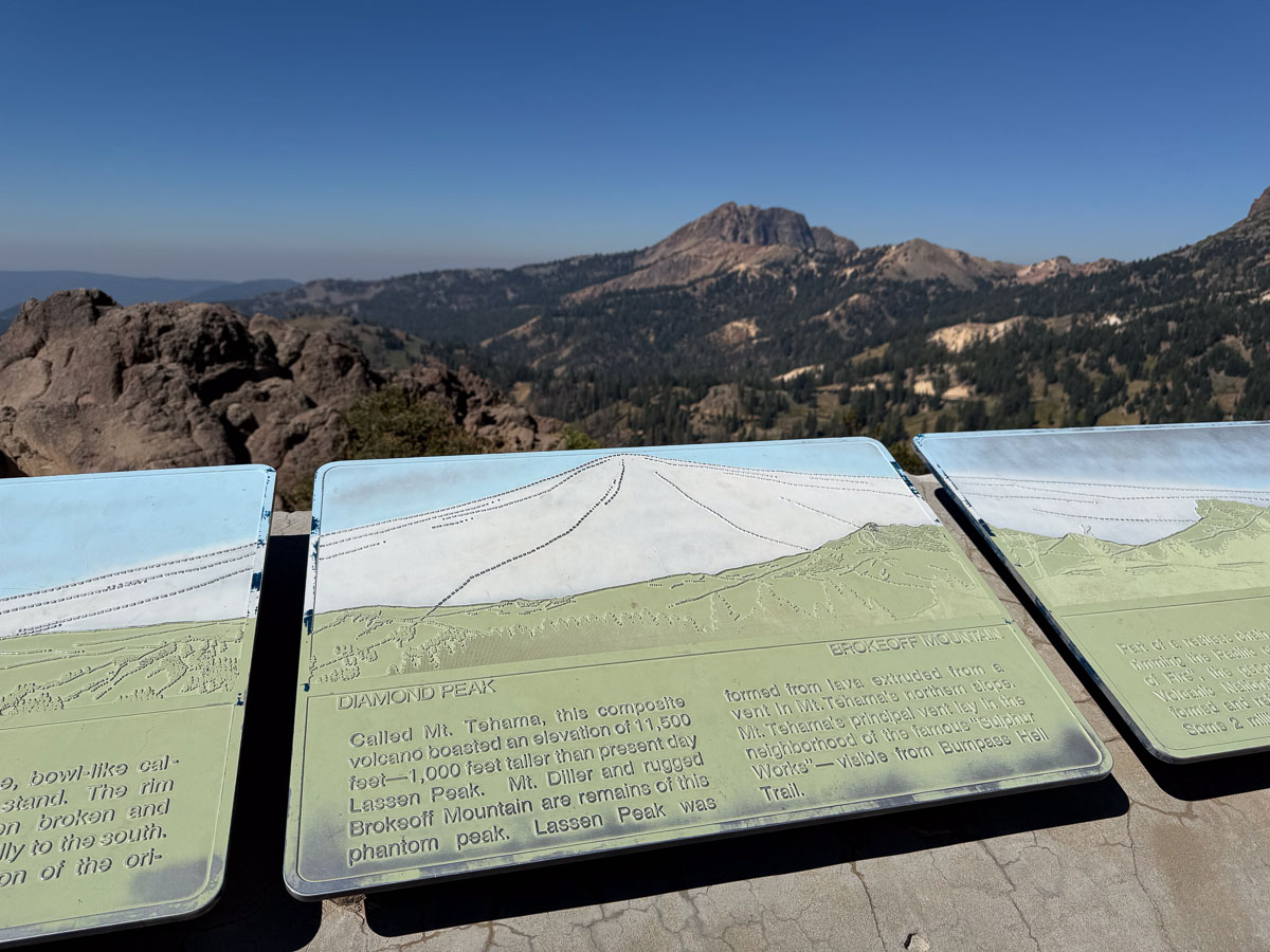
Along the way there was a sign that shows the present landscape (in green) in relation to the original volcano (white) that was active over 400,000 years ago. It was 11 miles across and 1000 feet higher than Mt. Lassen.
The geothermal features that exist now would have been under the dome of that ancient volcano.
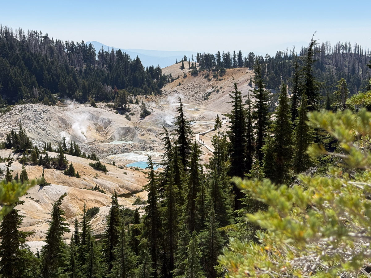
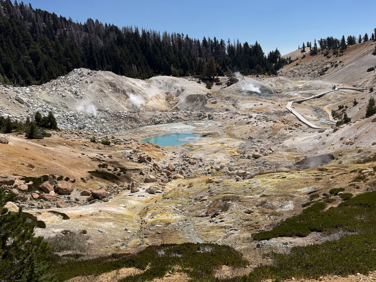
Now we can wander through these fascinating formations safely on boardwalks…
How would you spend your 40th wedding anniversary? We wanted to DO something. A few weeks prior we reserved a campsite at Lassen National Park for two nights. The main road through the park passes the trailhead for Lassen Peak.
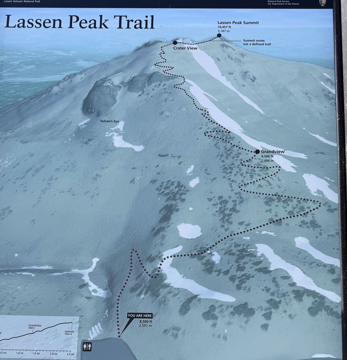
We got to the trail head just before 11 a.m. The route is only 2-1/2 miles to the top. It’s the elevation that makes it tough. Consider that we live at about 90′ elevation. The trail starts around 8500′ and finishes around 10,500′.
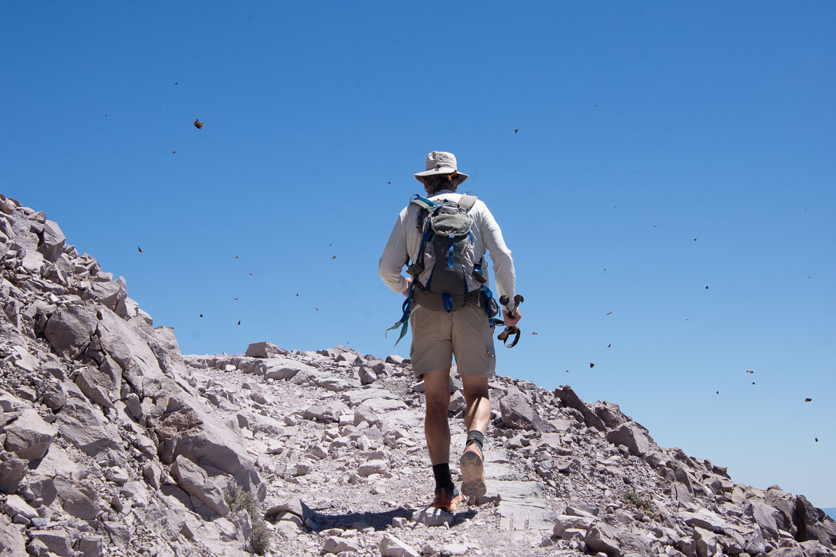
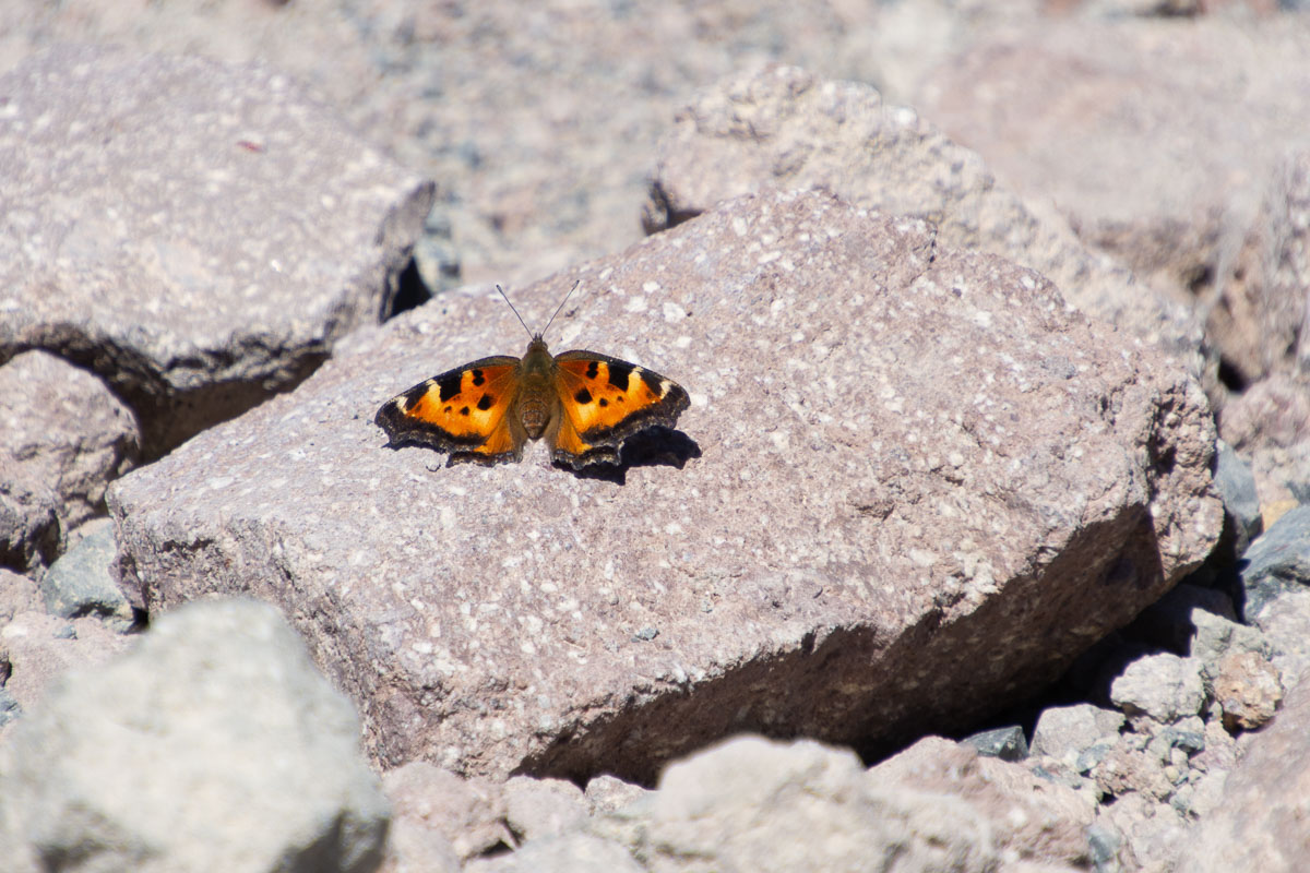
This photo is not the result of a dirty lens. Those are butterflies. I remember one of the few other times we were here and we experienced the same thing. These are California Tortoiseshell Butterflies. According to the NPS website, they are “common in foothill canyons in late winter where they emerge from hibernation to lay eggs on the young, tender growth of various species of wild lilac (Ceanothus)…Adults of the first brood emerge in late May or early June and begin moving to higher elevation in search of food…Summer breeding takes place in early migration…The adults of the second brood, laid during migration, emerge in July.” There is much more detail at the NPS website.
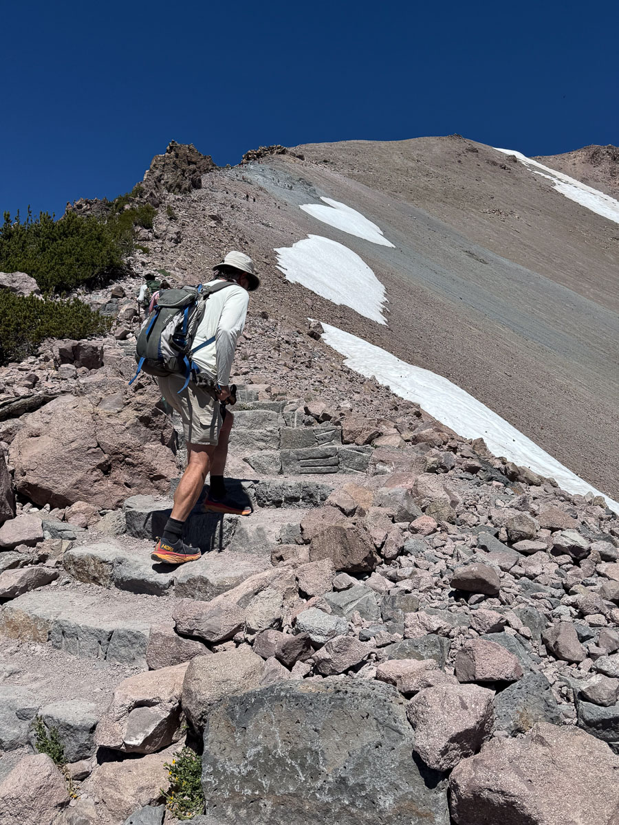
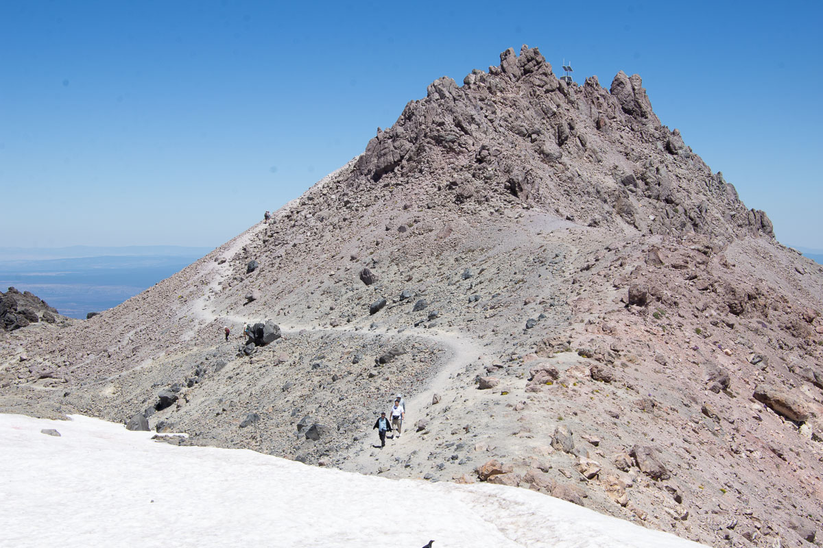
You won’t be able to tell, but there is a zigzag trail full of switchbacks above the snow in this photo, and then it goes across the higher slope below the ridge.
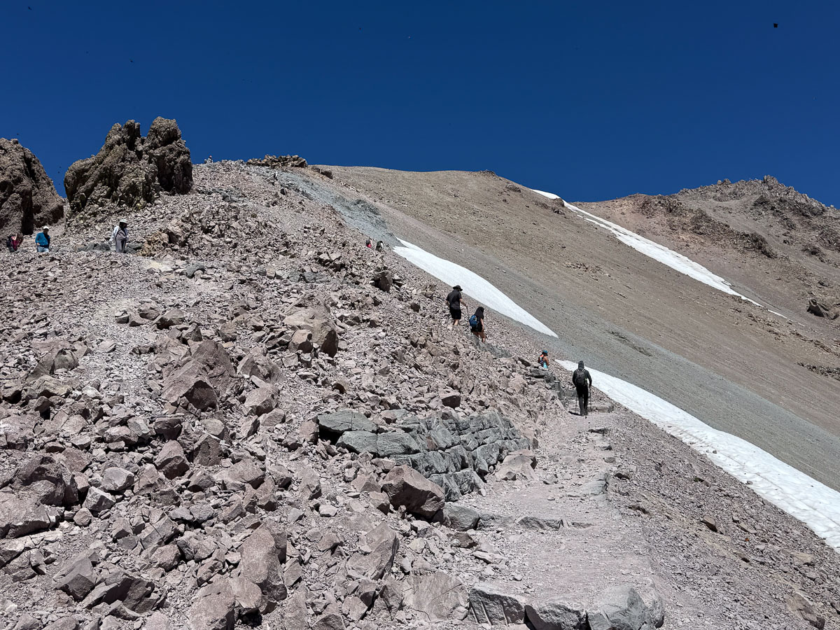
Another photo of the trail.
This two and a half mile hike to the summit took us almost two and a half hours. So our pace was about one mile per hour. As our family likes to say, “forward is a pace”.
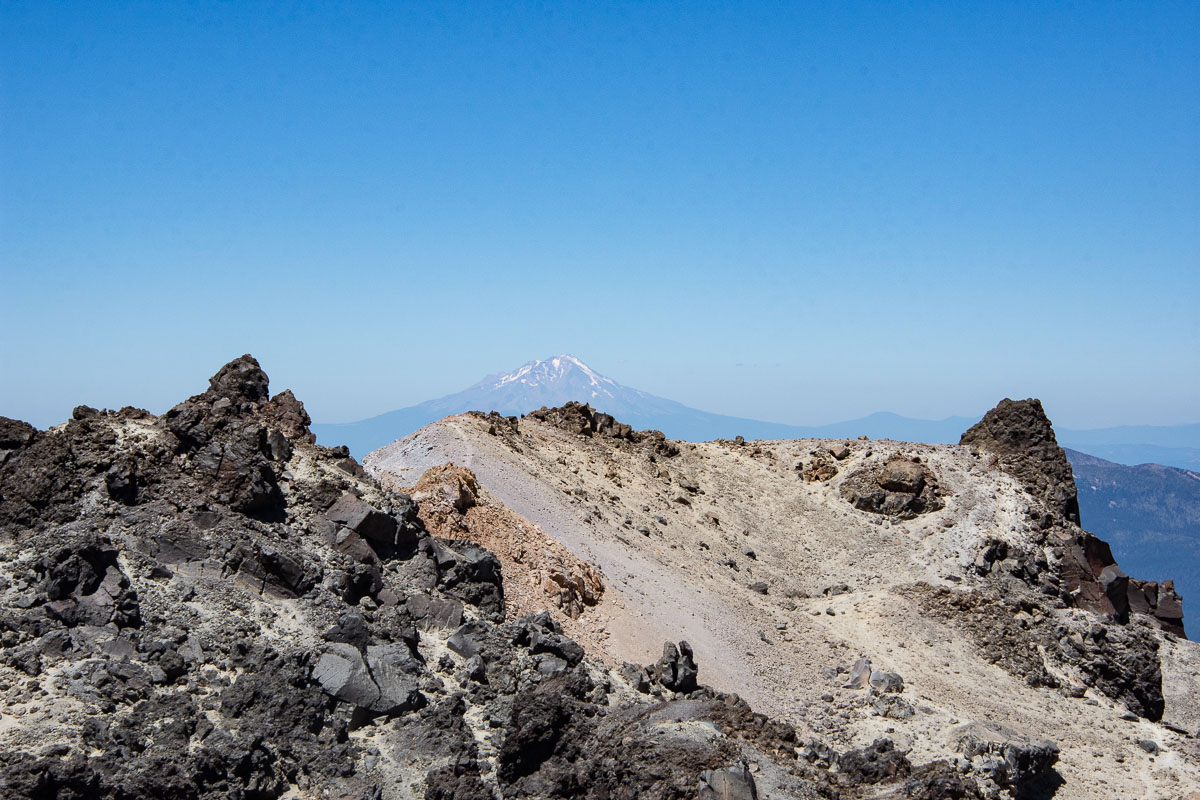
View of Mt. Shasta to the north.
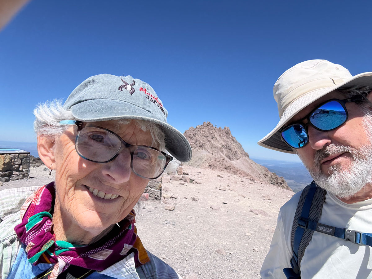
We sat at this level, ate lunch, and watched butterflies before deciding to hike the last little bit to the real peak of Mt. Lassen.
The trail from this point on is not a real trail. We went about half way up and decided that the lack of trail and the loose rocks where it got steep made it too sketchy (that’s the word that kept coming to mind) for us to continue. We had to be content with making it almost all the way up.
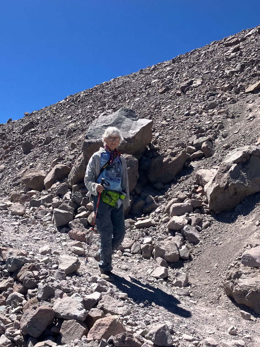
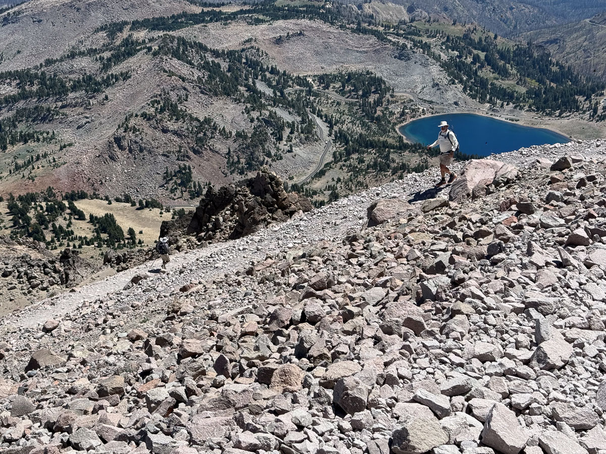
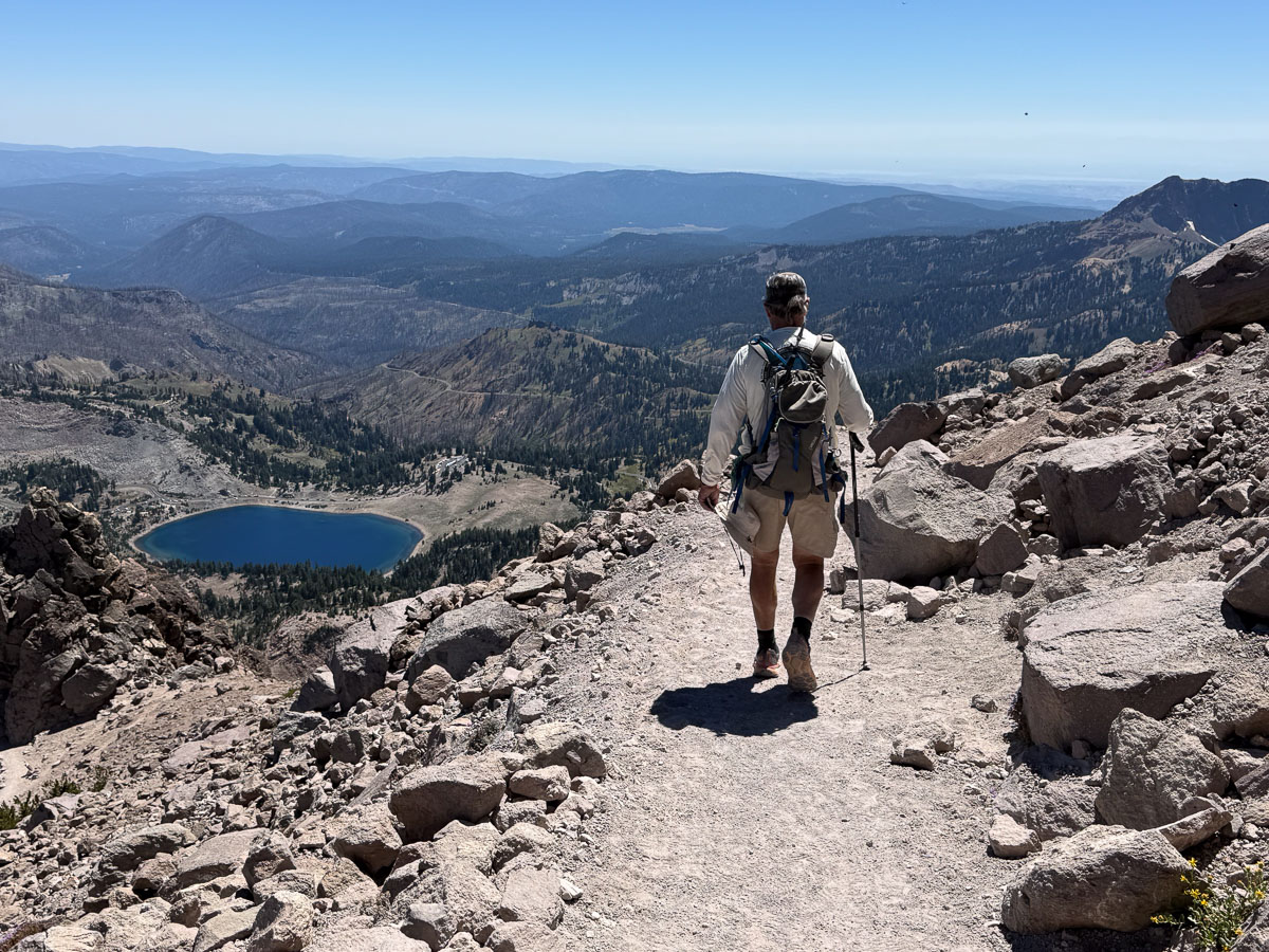
Hiking down, of course, was faster.
Looking down on the switchbacks.
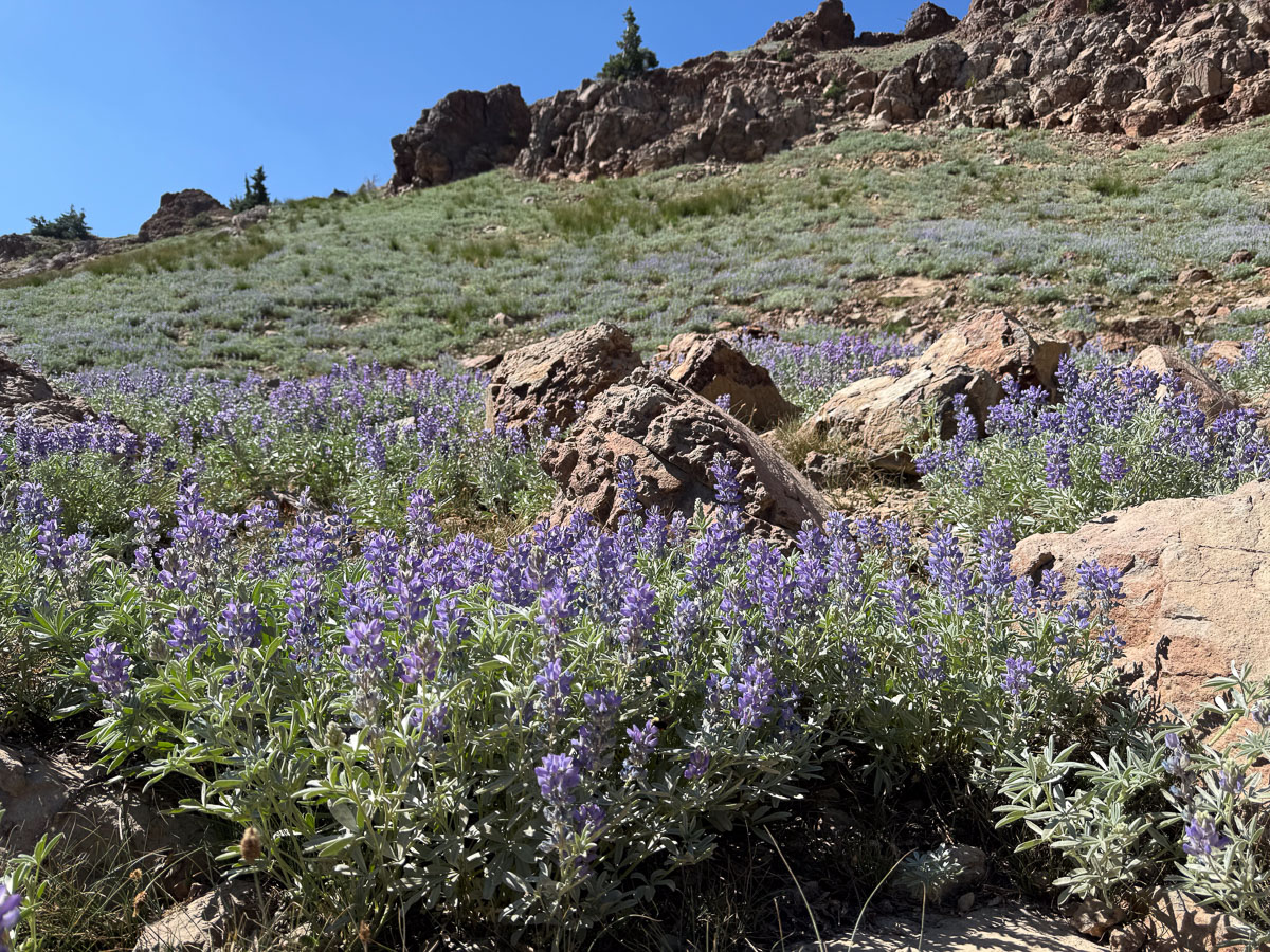
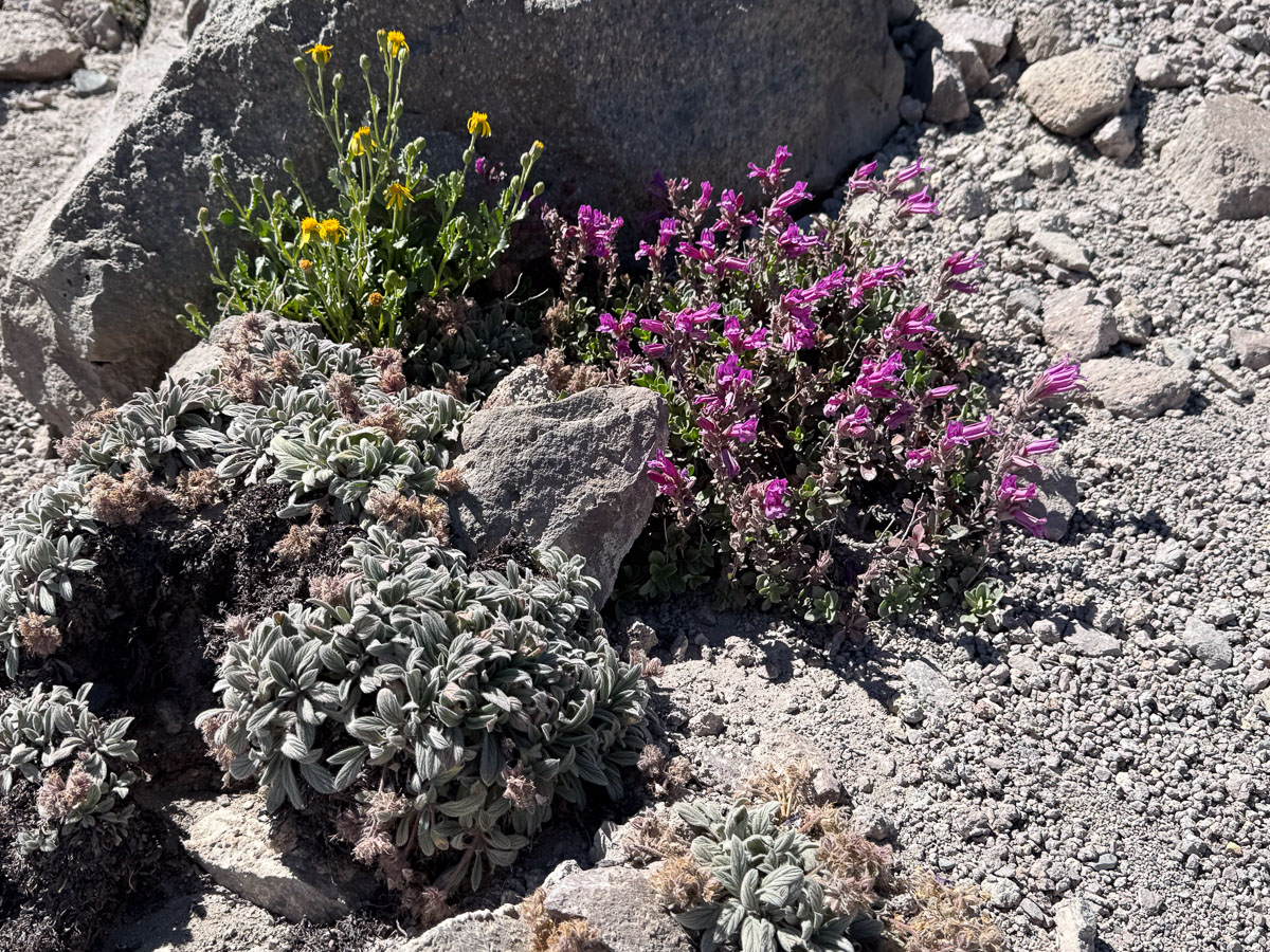
It’s amazing to see flowers growing in this stark rocky terrain, but they were there!
We got to the parking lot, near the level of that lake, about 4 p.m.
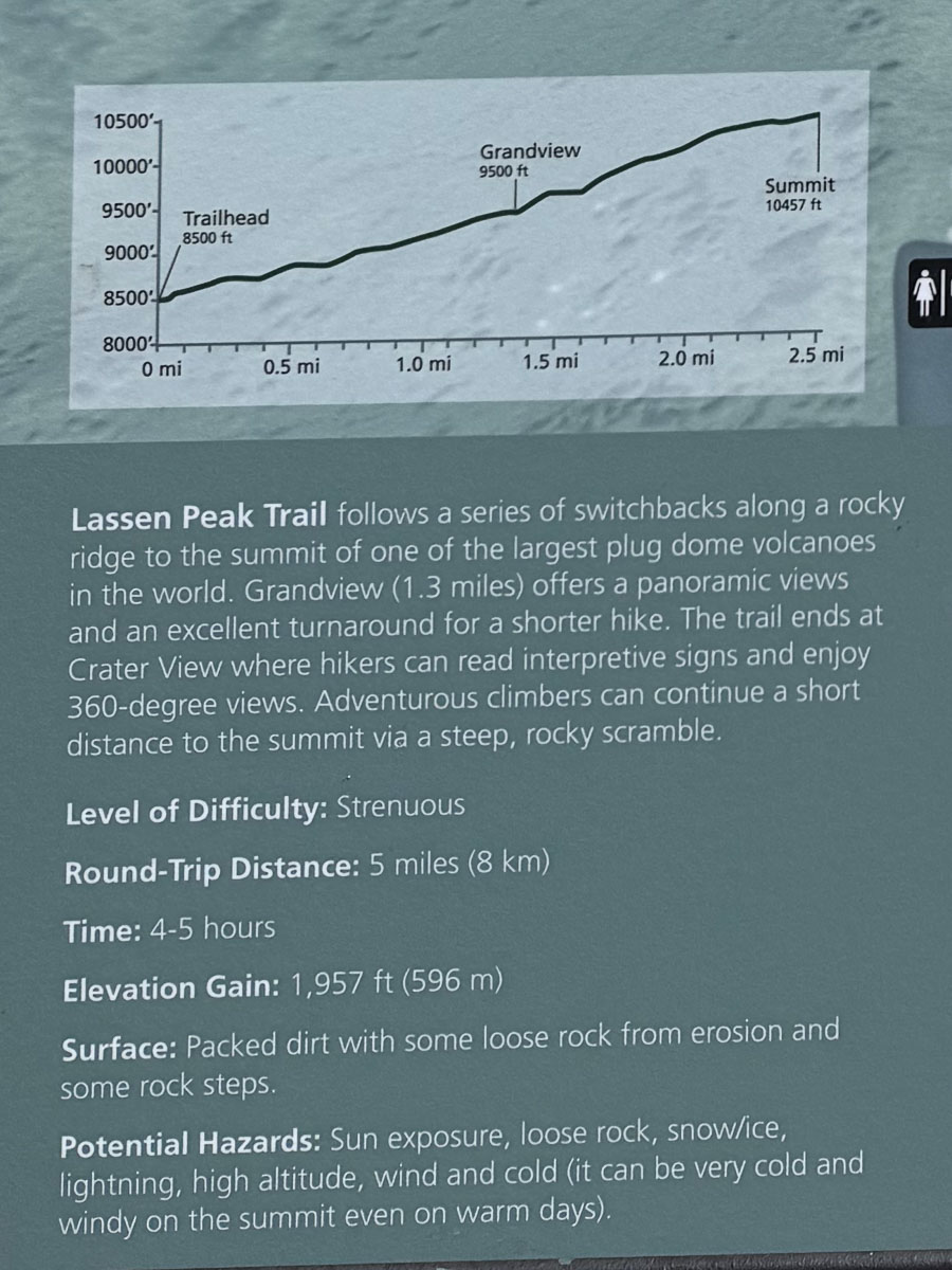
Here is a description of the trail. The part I called sketchy is referred to as “a steep, rocky scramble”. Maybe we would have done that five years ago.
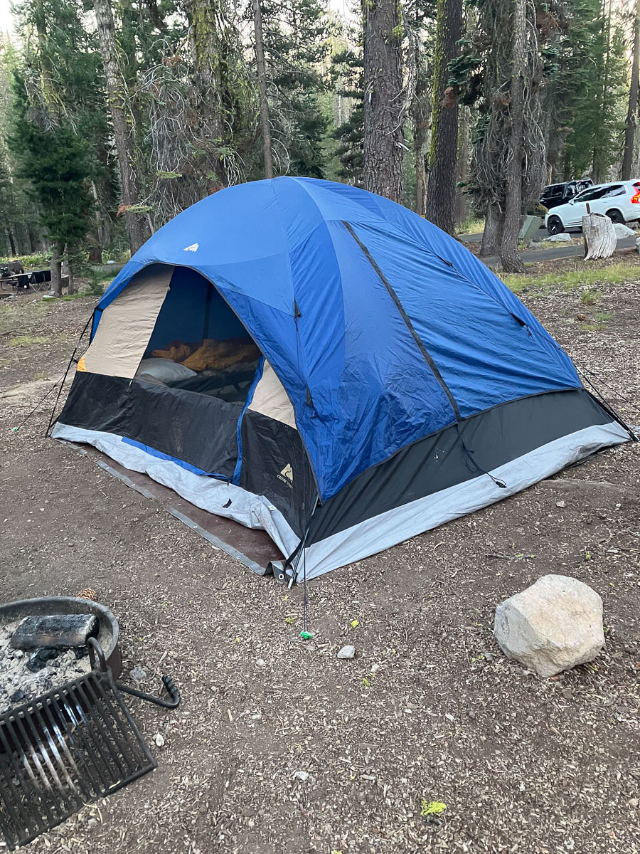
We found our reserved campsite and set up the tent that we had borrowed from a friend. Luxury because it was big enough that we could have cots!
I created a video of this hike. See it here on the Meridian Jacobs YouTube channel.
I always see Mt. Diablo when I walk Across the Road (unless there is too much haze or fog). I feel a sort of weird connection to it because of the road we live on, which prompted the name of our farm, Meridian Jacobs. I wanted to DO something on my birthday and fortunately the weather was perfect for a hike. We picked up my brother on the way and arrived at Mt. Diablo State Park a little after 8 a.m.
Wikipedia says: “The Mount Diablo Meridian, established in 1851, is a principal meridian extending north and south from its initial point atop Mount Diablo in California.”
I took a lot of photos but I have to narrow it down for a blog post. There are probably more in this post than there should be. It’s hard to portray the true essence of the hike in my photos.
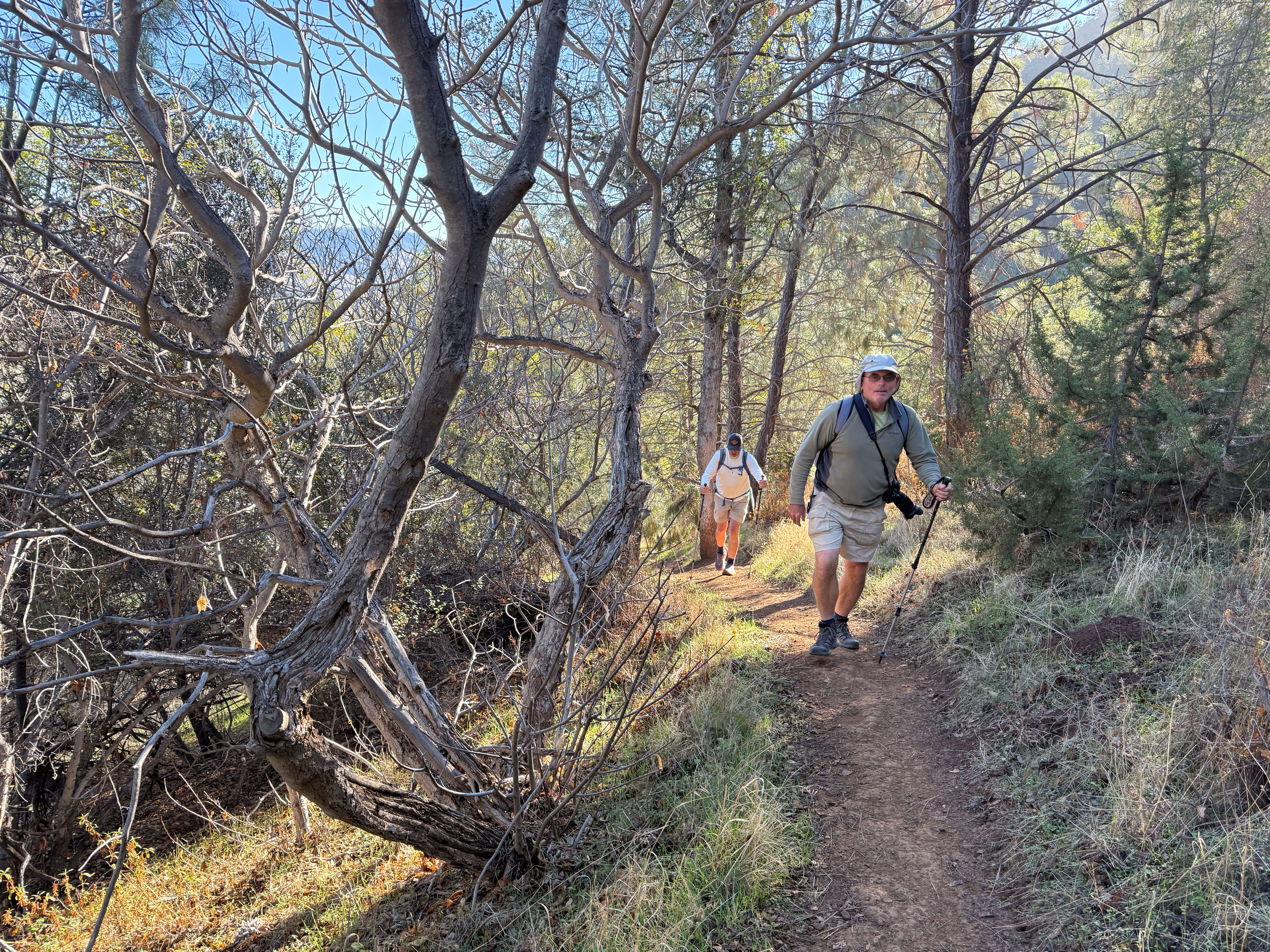
I wanted to get to the summit. Not long after we started we spoke to someone who said the direction we were headed was very steep and suggested a different route.
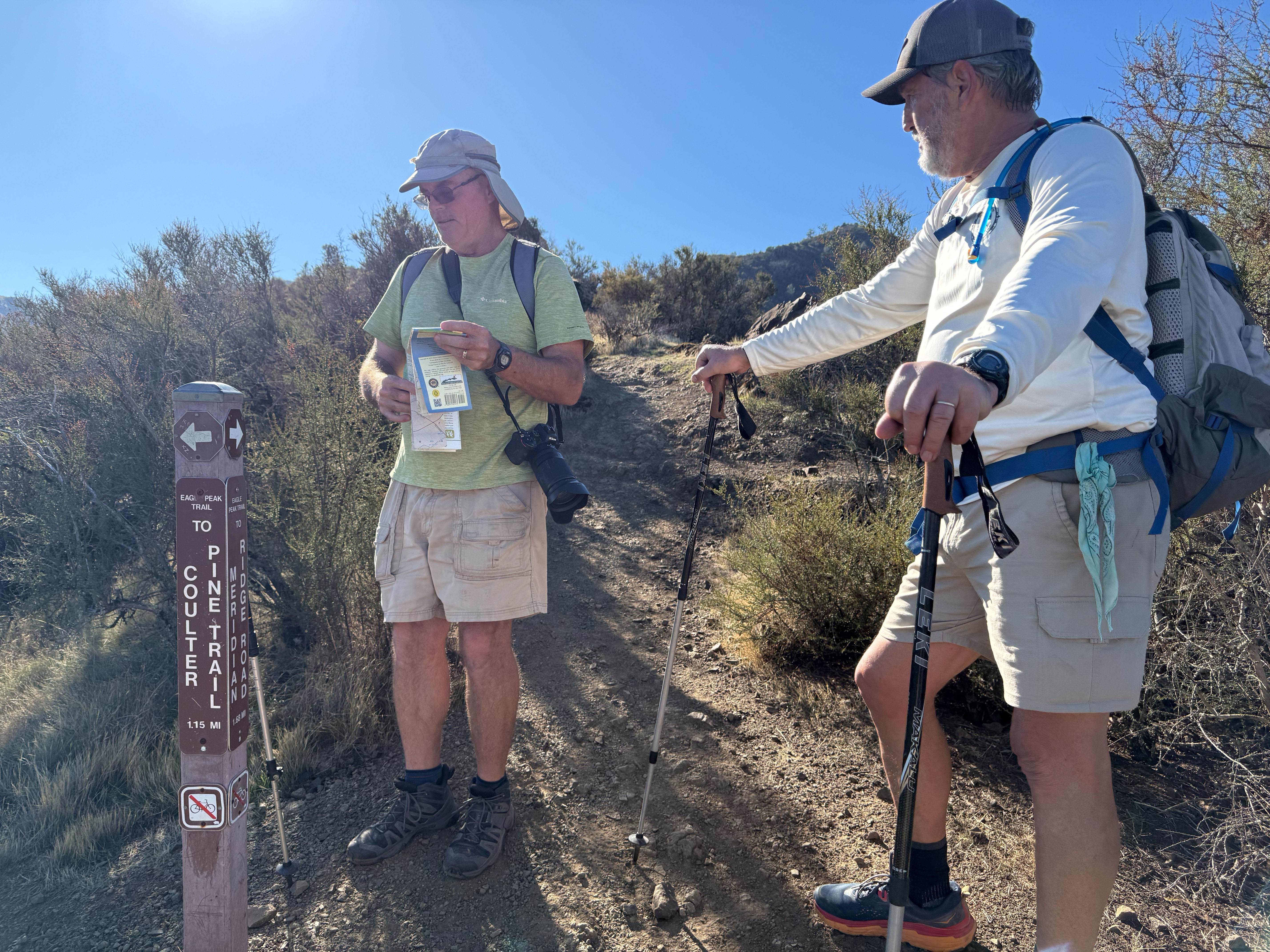
We had a map that showed all the trails and decided to start on a different one than what we’d planned.
Double checking the location.
We’re still smiling!
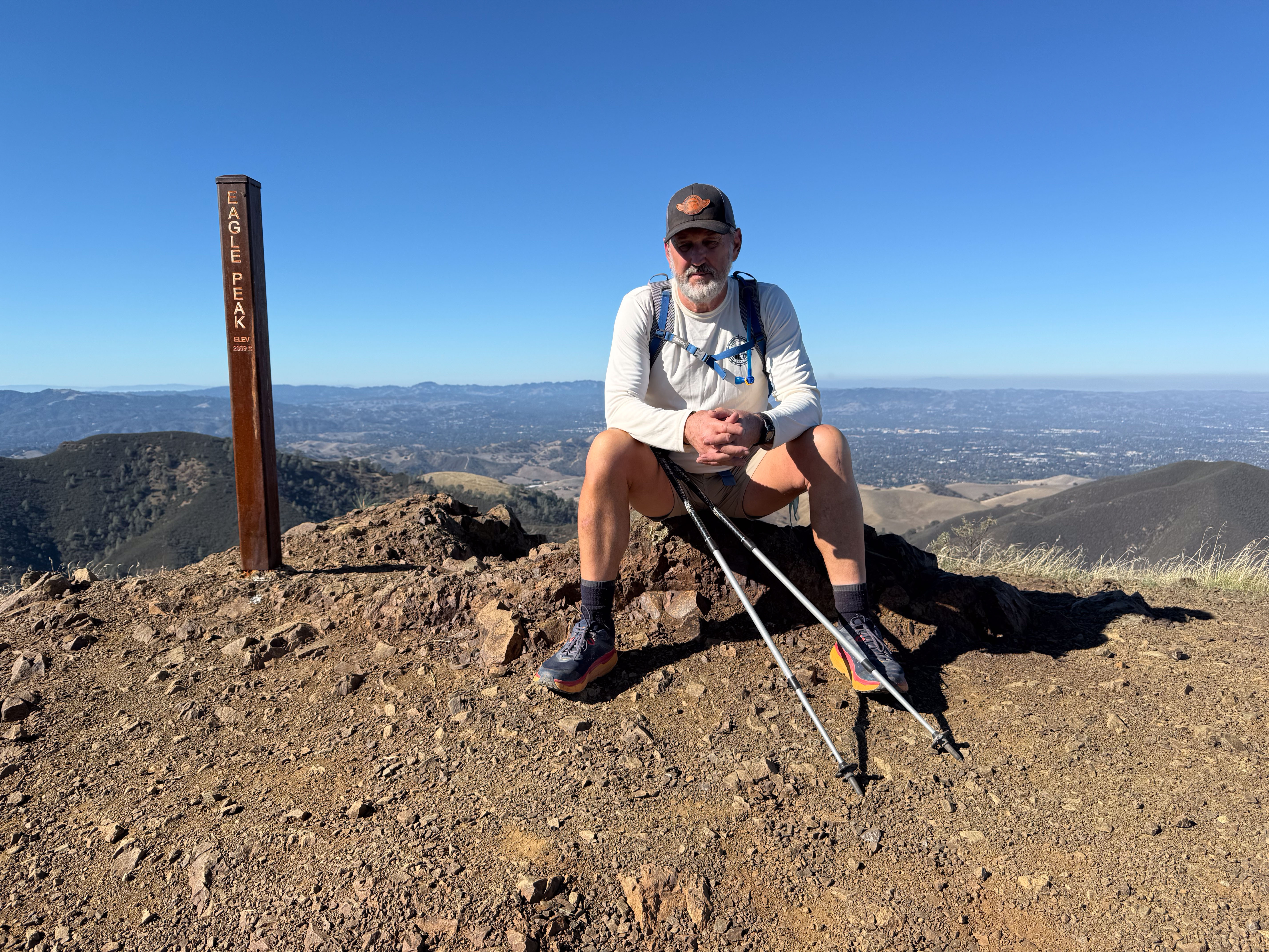
One of several peaks on the way to our goal. The sign say elevation 2369. I thought about adding a 1 in front of the 2. That’s sort of how it felt since we live in the flatland and lately all the walking has been flat. This was about 10:30.
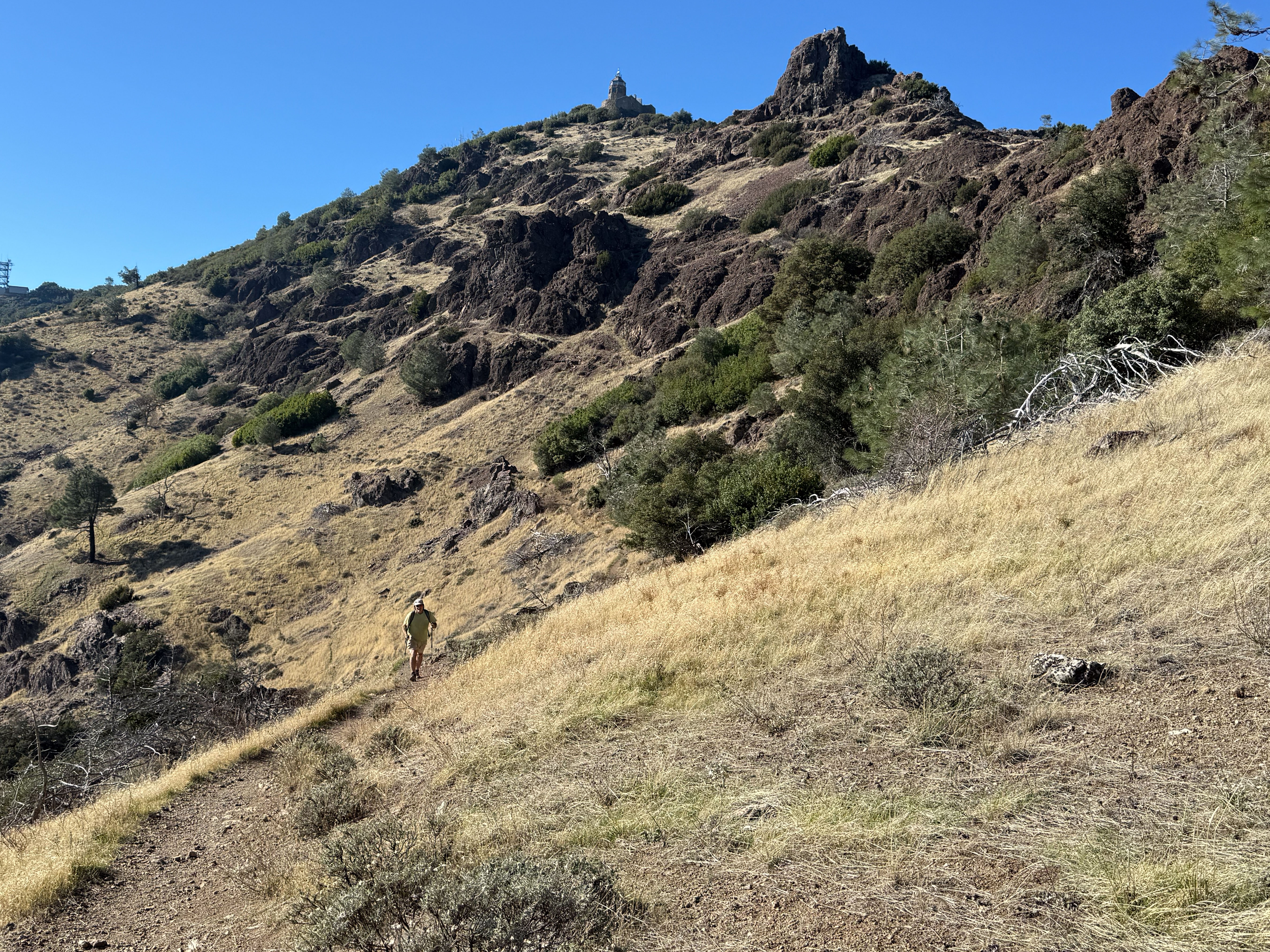
I took this photo around noon. That point on the mountain is our goal and Dave thought that we should get there by 1 p.m. to make sure we had plenty of time to get back before dark.
This is where that arrow points.
Pipestem Clematis
Not many flowers yet, but things are greening up and showing promise of a beautiful spring. We did see a lot of this vine that I recognize from other oak-woodland hikes.
There was a point where we had a choice to take a one-mile “short-cut” to the top (steep, we were warned by someone coming down) or another two miles with ups and downs. We split up here. Dan took a different route that Dave and I would follow later back down the mountain. Dave and I went to the top.
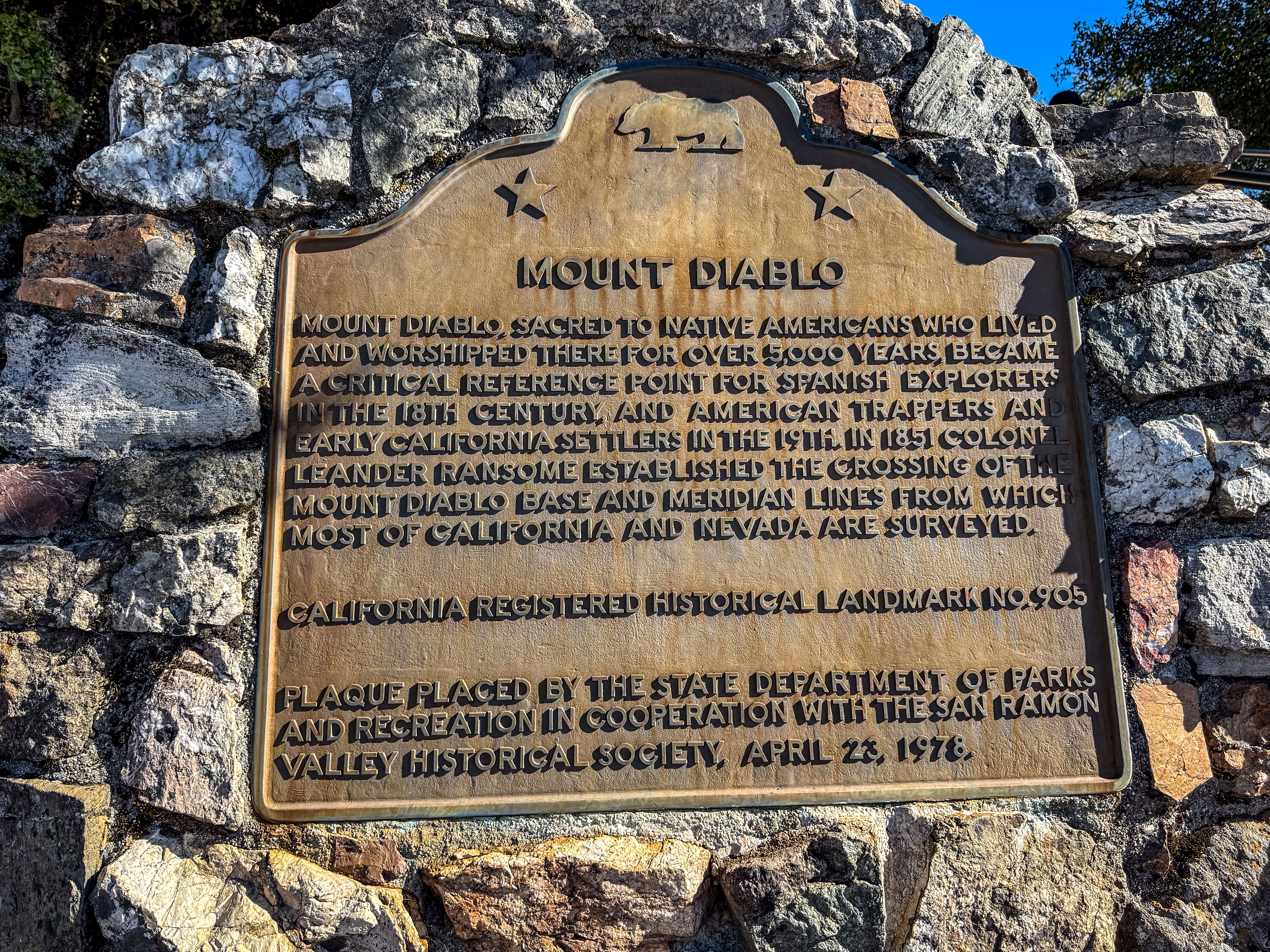
Since you may not be able to read the sign I’ll repeat it here: “Mount Diablo, sacred to Native Americans who lived and worshipped there for over 5000 years, became a critical reference point for Spanish explorers in the 18th century, and American trappers and early California settlers in the 19th. In 1851 Colonel Leander Ransome established the crossing of the Mount Diablo base and meridian lines from which most of California and Nevada are surveyed.”
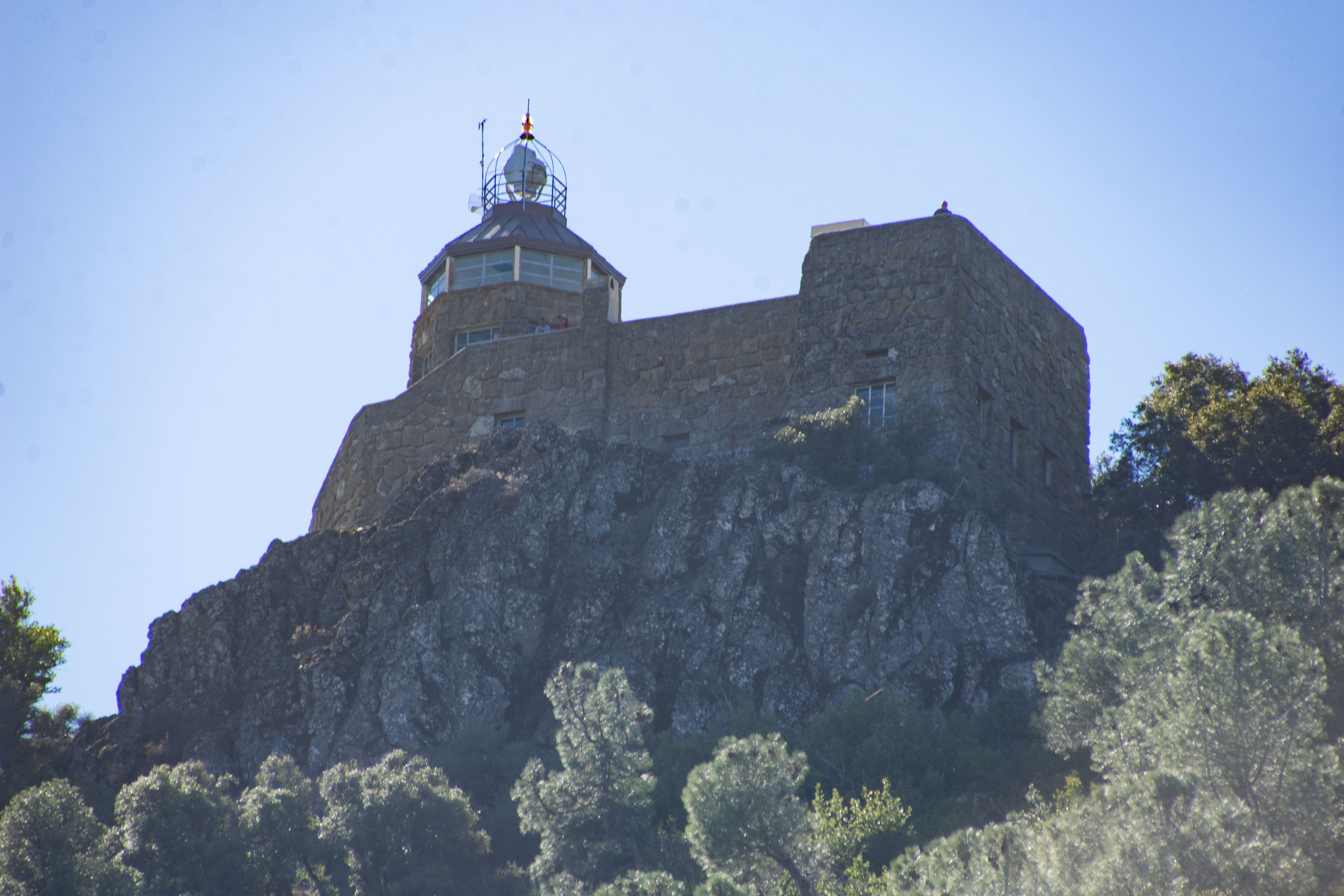
In the days before electronic navigation the light on top of the rotunda (once on a 75-foot tower) served as a crucial route-finding aid. It was turned off after the attack on Pearl Harbor amid fears that it could guide the enemy to an attack on the mainland. It is now dark except when it is lit on December 7 as a memorial to those who died at Pearl Harbor.
This is inside the rotunda.
View north-northwest.
View to the north. If I can see this mountain from where I live it seems as though I should be able to see my house from the mountain. I guess not. It’s out there somewhere. You can make out the windmills that are south east of our farm and we think what you can barely see left of center under the horizon is Travis AFB.
This is the view of the rotunda on our way down the mountain.
View to the east.
We saw a little bit of fall color. I took few photos on the hike back down. It was the most challenging part of the day. We followed a dirt road that is used to access communication towers on another mountain top. Downhill and a road. Sounds easy, right? It was so steep in parts that if I hadn’t had a walking stick to brace against I would have been slipping the whole time on those parts. Even with the stick it seemed treacherous. I hadn’t thought to bring walking sticks, but Dan and Dave had. On the way down Dan had left one of his with me. Once I started hiking this road I realized that his trip would have been extra challenging with his new knee joint and using only one stick.
We got back to the car before dark.
I had turned on my Map My Walk app before starting (blue dot). Somehow it turned off not long after we started and only started up again when we were sitting on the top eating lunch. So these stats are only half of the hike. We think our hike was 13 to14 miles. A good day.
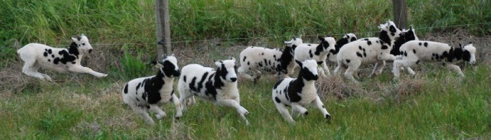
I planned to go on a hike today, but that was mid-day. Feeding sheep is first.
Sunrise viewed from the barn. After chores I drove to the newly opened 1500 acre Patwino Worrtla Kodak Dihii open space park managed by Solano Land Trust, outside Fairfield and only about 25 minutes from home. I had never been to this park but had read about the progress made on opening it for the public.
The park is usually open Friday through Monday, but there was a special New Year’s Day docent-led hike. There is good signage throughout the property so you can always figure out what trail you are on. We started at the Welcome Plaza at the bottom of this map. We saw the east half of the property, making it to the loop at the northeast and then back down the Bay Area Ridge Trail. That was just under six miles total.
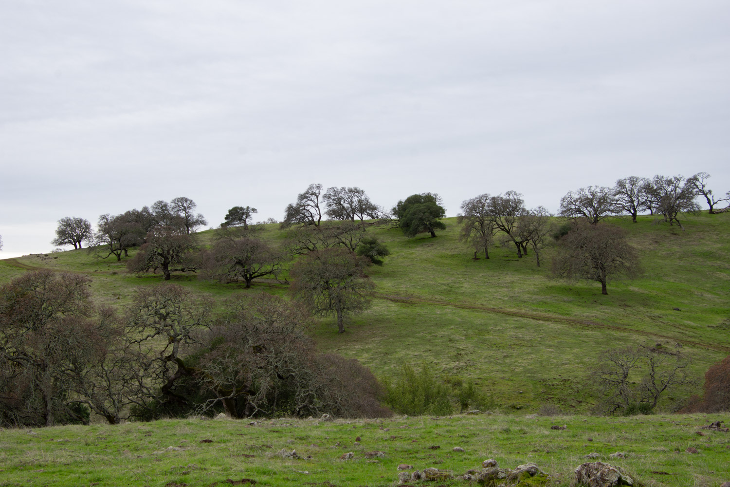
This is oak woodland. The blue oaks are deciduous so they are bare now. The recent rains have brought the landscape to life with green grass.
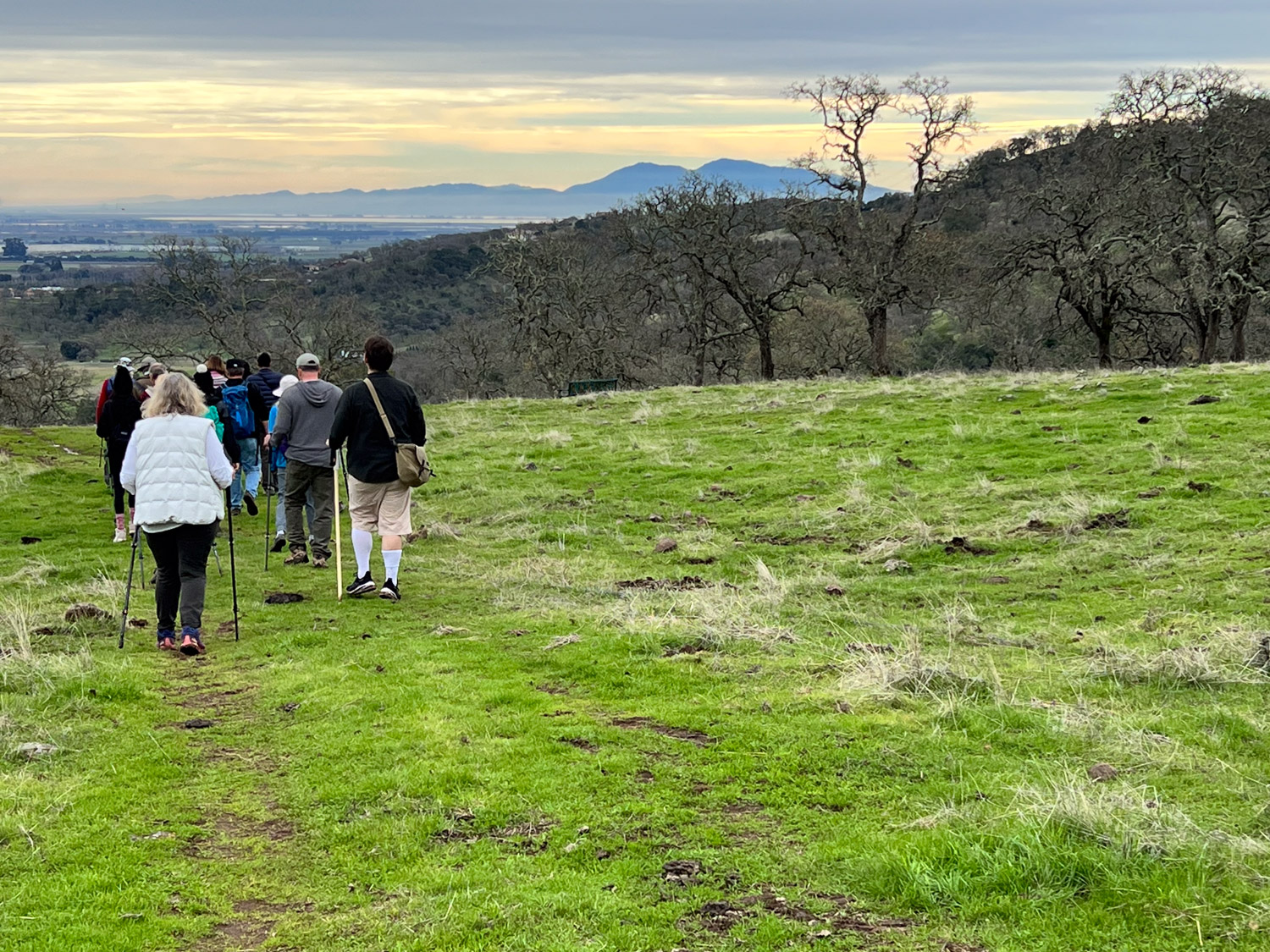
That is Mt. Diablo in the distance. That’s the mountain that features in many of my Across the Road photos because those are taken from the property just across Meridian Road where we live. Wikipedia says, “The Mount Diablo Meridian, established in 1851, is a principal meridian extending north and south from its initial point atop Mount Diablo in California at W 121° 54.845. Established under the U.S. Public Land Survey System, it is used to describe lands in most of northern California and all of Nevada.” DavisWiki says “Meridian Road is a north-south road, roughly located between Dixon and Vacaville. The Meridian refers to its location on the principal meridian for NorCal for the US Public Land Survey. If you were to travel due south from the road, you’d hit the peak of Mt. Diablo, a prominent geological landmark.”
The wind turbines along Hwy. 12 on the way to Rio Vista feature in the view to the southeast.
There are live oaks interspersed with the deciduous blue oaks.
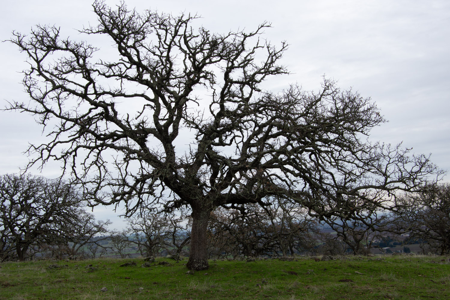
These blue oaks are magnificent with and without leaves.
Another view that includes Mt. Diablo. Hopefully I’ll go hiking there one of these days. I was there in 2020 and this is the blog post (on my website) about that.
I will definitely be back here in the spring for wildflowers.
My birthday was last weekend and I wanted to go hiking. I thought about Mt. Diablo or Pt. Reyes or Mt. Tamalpais, all places that I’d like to explore, but the thought of Bay Area traffic discouraged me. Then I realized that I could take advantage of some open space that is closer to home.
Lynch Canyon is in Solano County just north of the freeway between Fairfield and Vallejo. In the 1980’s the property was purchased by a company who proposed a landfill. Thankfully that was rejected by Solano County voters and the land is now owned by Solano Land Trust.
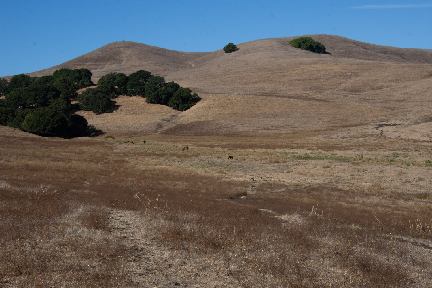
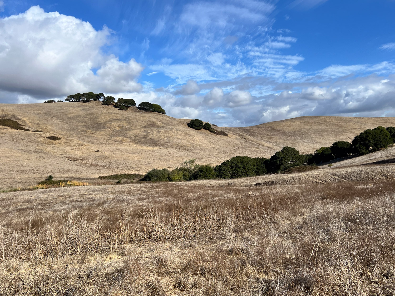
The land is rolling hills dotted with oak trees. We had the first real rain of the season the previous evening so this may start to green up soon. On the morning of our hike the vegetation was all dry.
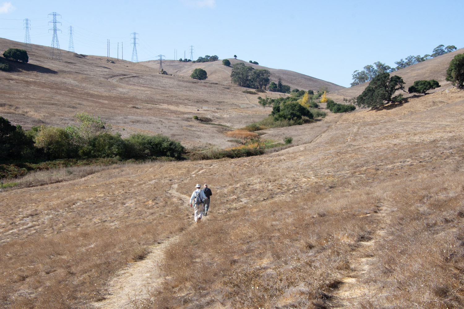
The trail we chose headed generally west. I wanted to get to the top of the hills for the view.
My brother, Dave, was with us.
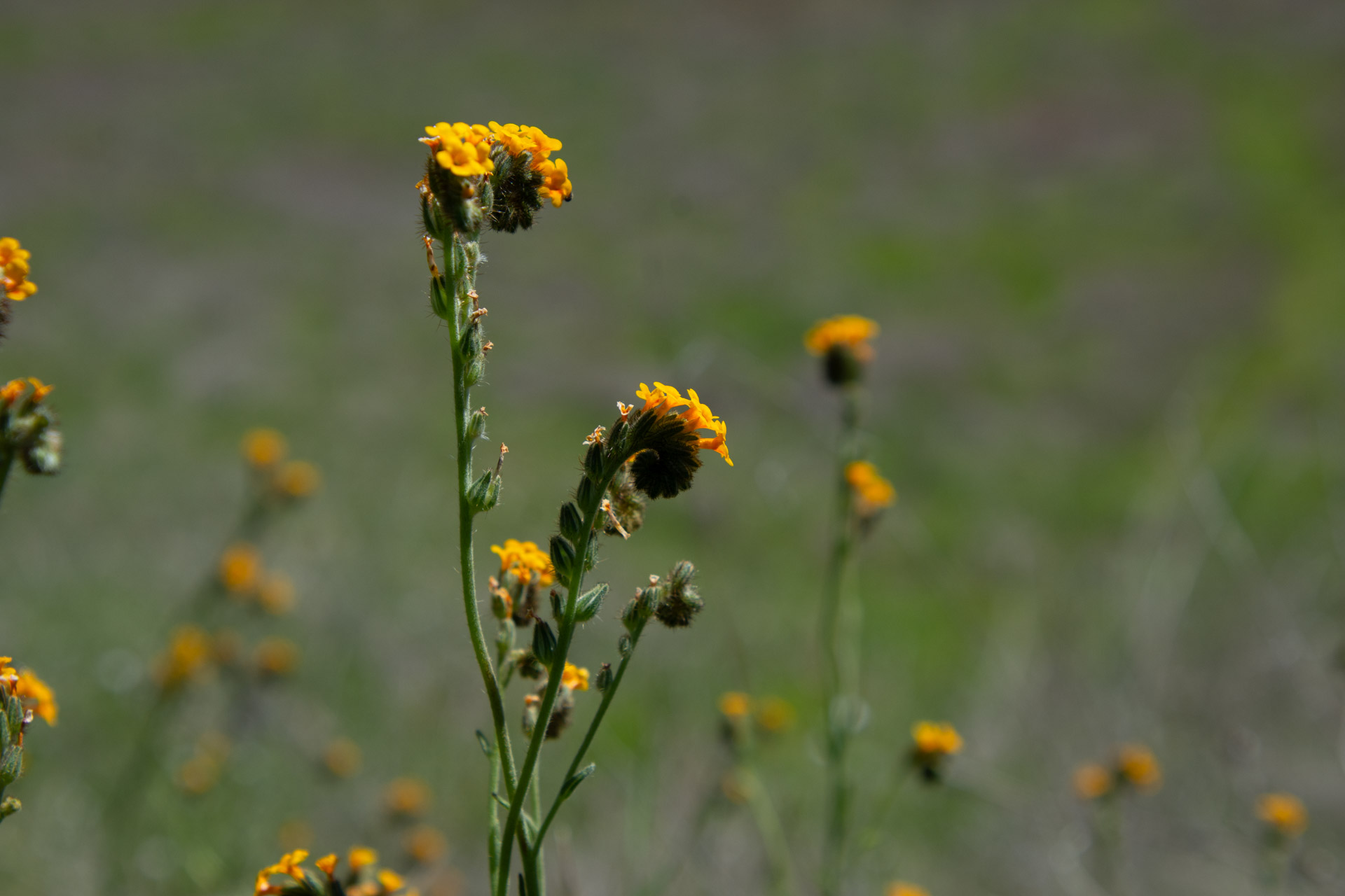
This area could be stunning when there are spring wildflowers. The only plant flowering now was tarweed.
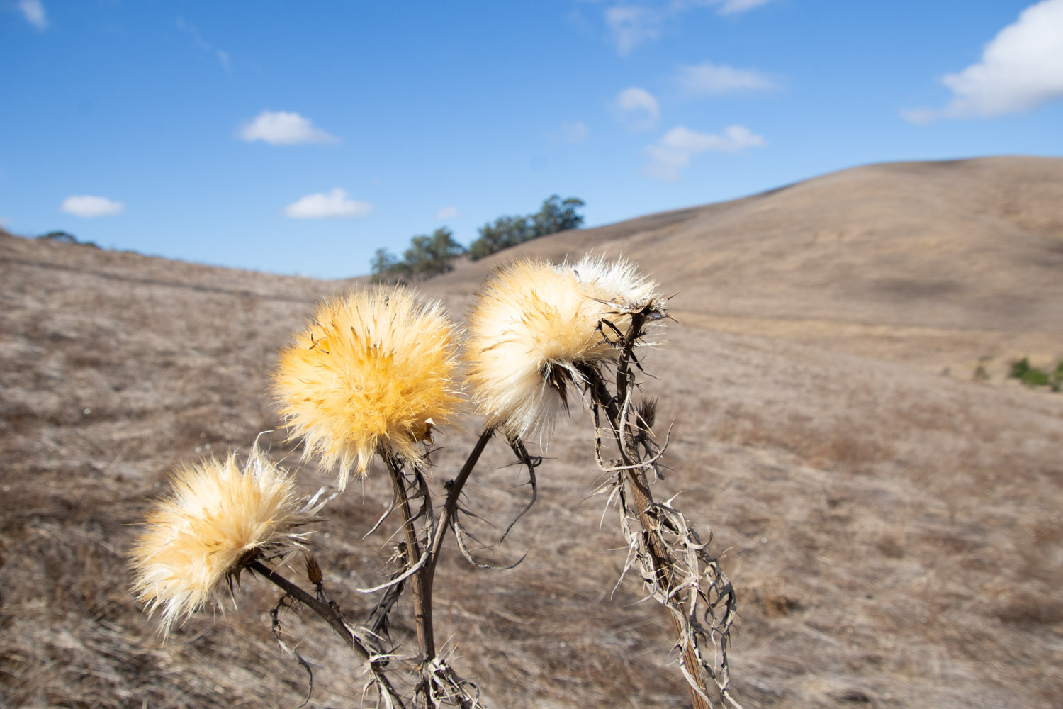
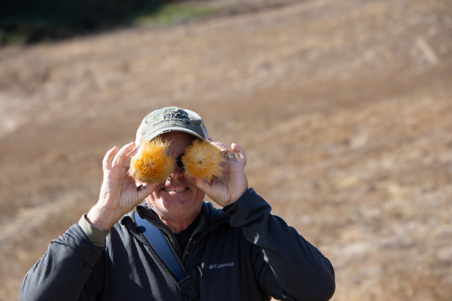
The thistles were an interesting contrast.
That’s my brother.
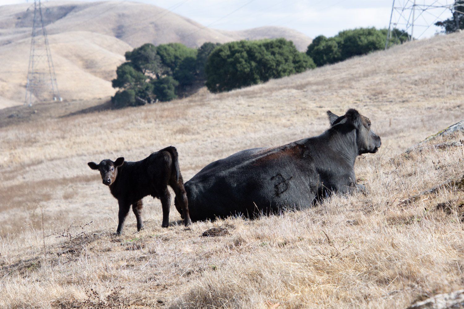
Cattle graze these hills right now.
This was a beautiful day for a hike.
Once we got on top of the hills we had views all around. This is looking southeast over American Canyon and the marsh land where the Napa River ends at San Pablo Bay. If I turned around I could see the windmills along Hwy. 12 to the east.
We could see Mt. Diablo to the south.
An easy 6-mile hike was a good way to spend my birthday.
When I got home I walked Across the Road with Ginny. Do you recognize that mountain in the distance? That’s Mt. Diablo at a little different angle than the phioto from Lynch Canyon.
On Monday we went on a hike with my brother and sister-in-law. I think it was actually a walk because the trail followed the edge of the lake fairly closely. Doesn’t a hike involved dramatic changes in elevation or at least some level of difficulty? Regardless, it was a beautiful day while the annual growth is still green and not all the trees have fully leafed out. (Is that a word?)
We drove to the north end of Lake Berryessa and stopped at the trail head.
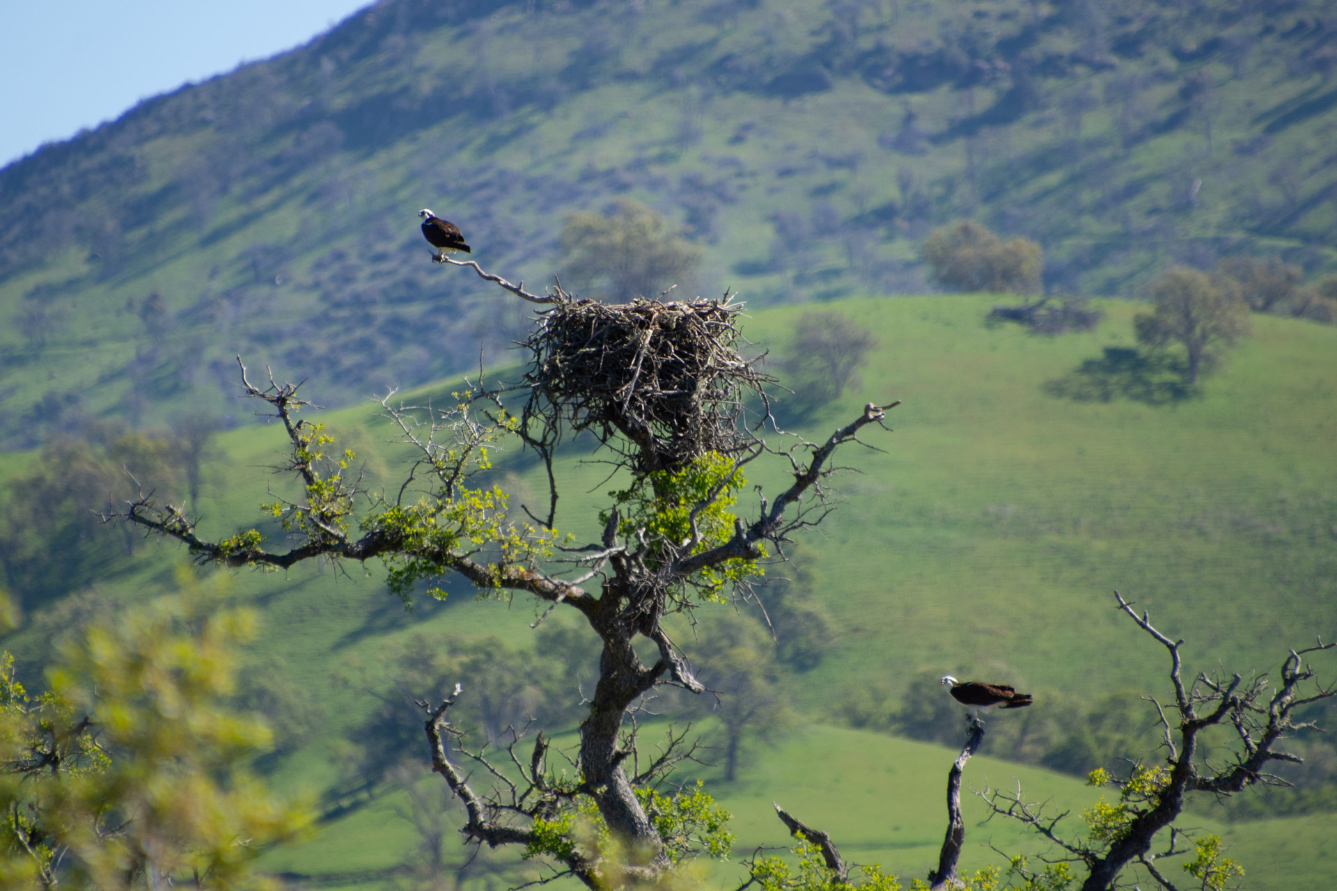
My brother has been here several times and expects to find ospreys and eagles. We saw ospreys in the air on the way here and found another not long after starting on the trail.
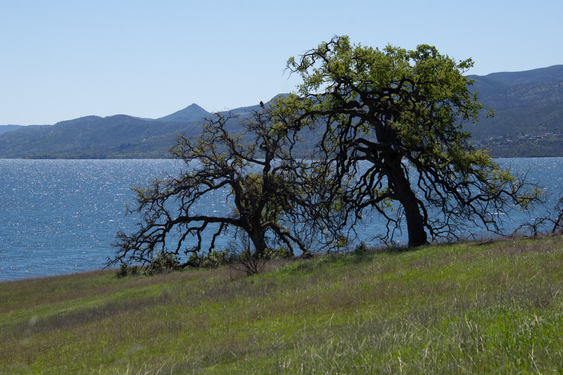
This is a view of the landscape and the lake. There is an osprey in this photo also, but you have to look hard to see it.
Here is the osprey, right in the middle of that other photo. Notice there are two here. One is below the nest.
Another view across the lake. What a beautiful site for a ranch headquarters.
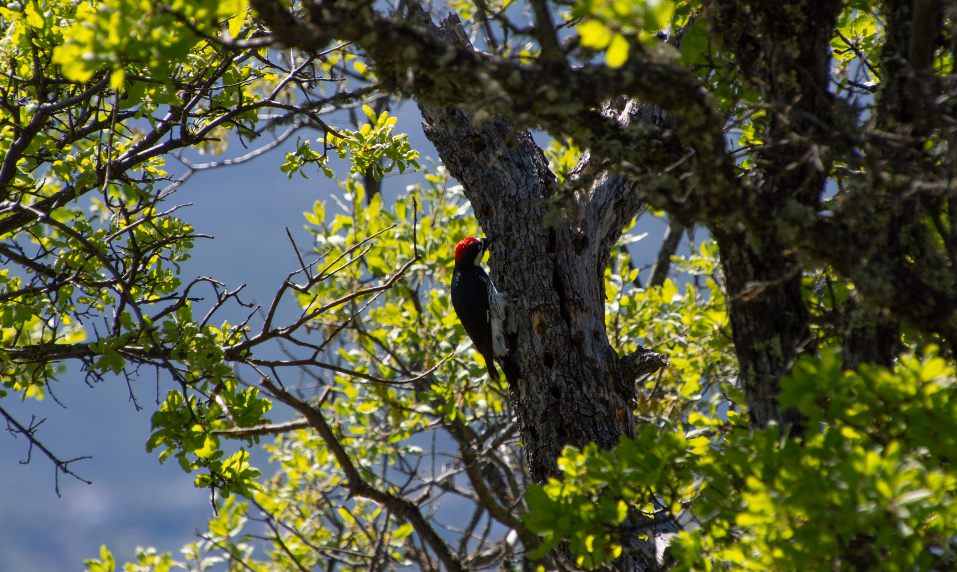
I have always taken more photos of plants than birds. Plants sit still longer and I can get closer.
Here is a magnificent oak tree.
The oak woodland landscape.
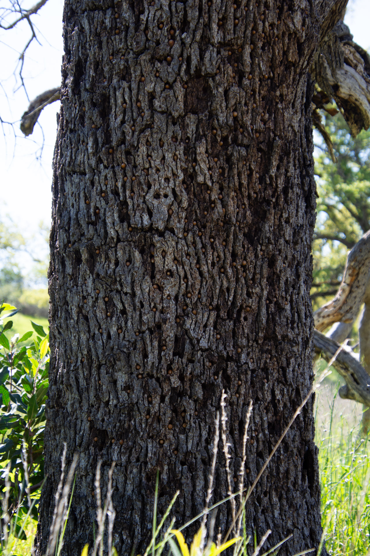
We noticed several trees with holes in the bark. Can you tell what is in the holes?
The holes are filled with acorns.
The acorn woodpecker is responsible for this. Wikipedia has this to say about this behavior: Acorns are stored in small holes drilled especially for this purpose in “granaries” or “storage trees”—usually snags, dead branches, utility poles, or wooden buildings. Storage holes—always in dead tissue such as bark or dead limbs—are used year after year, and granaries can consist of thousands of holes, each of which may be filled by an acorn in the autumn.
This turkey vulture wasn’t about to leave his meal, although three others did fly off as we walked by.
Can you spot the bird here?
This one is a bald eagle.
We walked about as far as La Pointe (on the map at the top) and turned around because we all had visitors coming for dinner. On the way back we saw the same osprey pair.
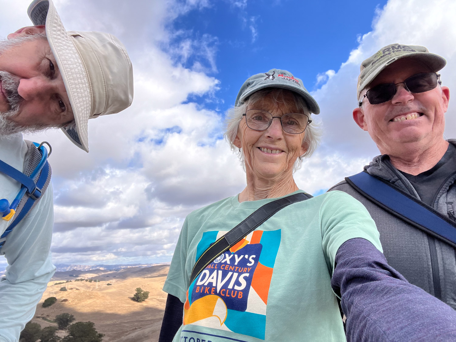
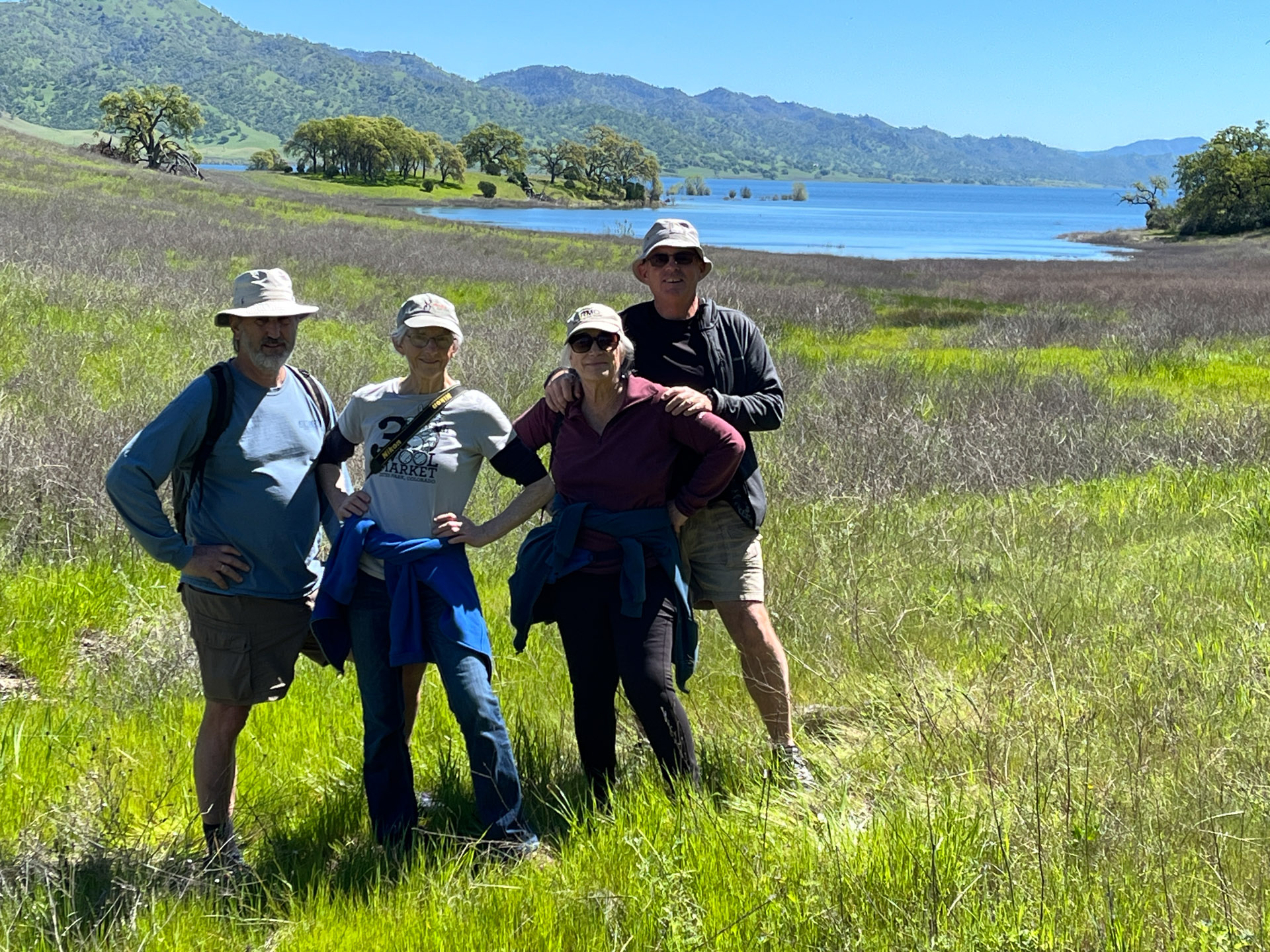
This is Dan, me, Kathy, and Dave thoroughly enjoying the day.
M birthday was last week and I spent the day with my son exploring some of the El Dorado National Forest.
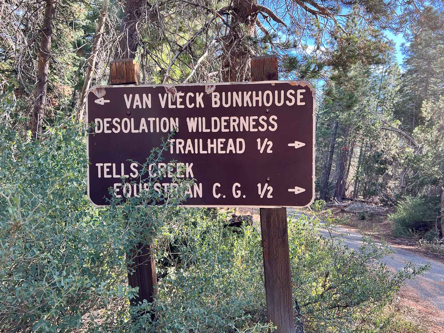
Matt drove and I wasn’t looking at a map so all I know is that we headed up Ice House Road and went beyond some of the other areas we have hiked in the past. The first stop was to look at the Van Vleck Bunkhouse, built in 1957, and now rented by recreational users from the Forest Service.
I had no idea that the Forest Service was in the vacation rental business. This might be a fun place to stay with a group of people. It sleeps six, has propane for cooking, but no electricity, and has running water during the summer.
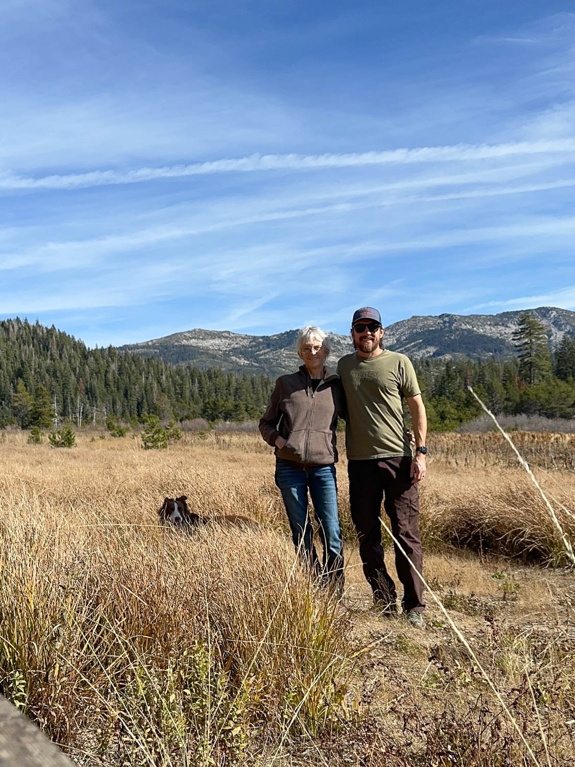
This is the meadow south of the bunkhouse with Desolation Wilderness in the background.
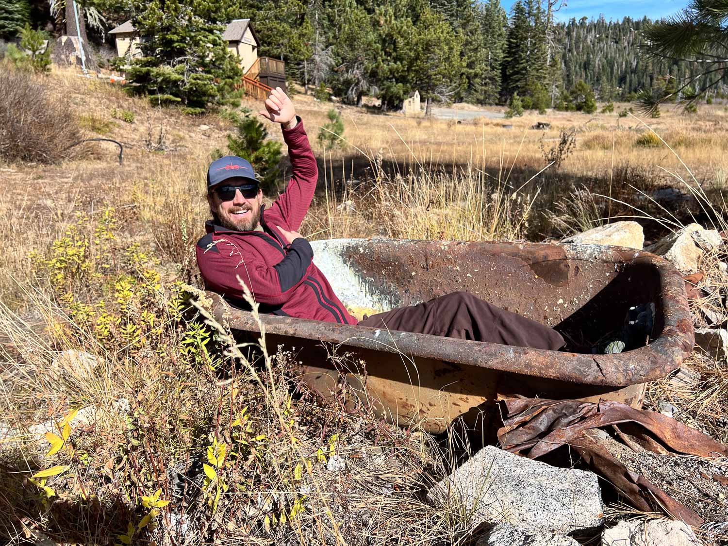
Matt didn’t care that there was no water. He tried out the bathtub at the edge of the meadow.
This is more of what was the meadow. Matt said that several years ago they did a prescribed burn here to maintain the meadow, but trees are encroaching again.
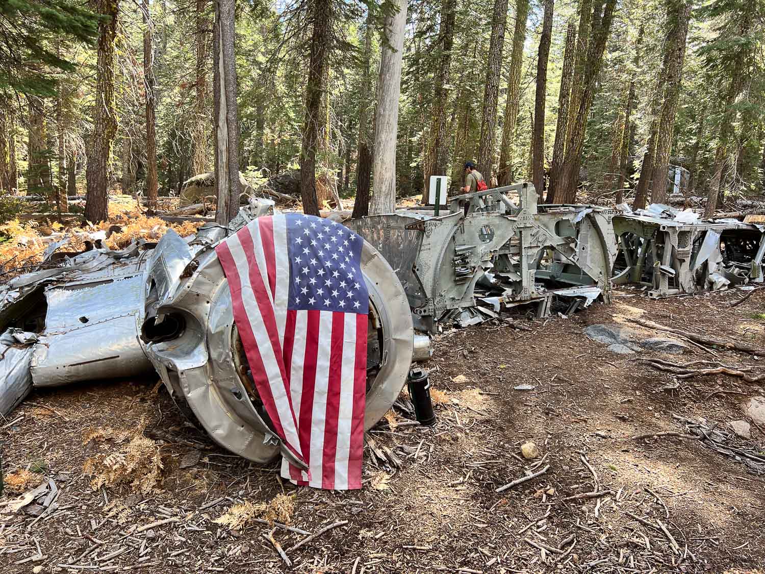
After leaving the meadow we drove further and then followed GPS coordinates to find the site of a plane crash in 1941. The info at that link tells of the air force pilot and crew that were flying a B-17, known as the Flying Fortress, from Salt Lake City to Sacramento. Due to weather and mechanical issues it went down on November 2, 1941. The pilot had ordered the passengers to put on parachutes. They all made it out but the pilot did not and two days later the crash site was discovered. We were here exactly 83 years later.
There is a trail of sorts to the site, but you’d still have to know where you’re going to find it.
The wing stretches off to the right. The other wing is at a different location.
This is what the remaining wing looks like.
Matt had the coordinates of other parts including the wing, and we walked farther to find the site, but didn’t see it before we turned back.
As we walked back down the trail I turned and could see the plane from an angle where I hadn’t noticed it before.
There were several downed trees in the area. I was surprised to see so many down with the roots pulled out of the ground. I suppose the severe storms last winter were to blame. The root structure of this one is massive.
Check out the size of this tree.
This was my view.
There were some big mushrooms too. You can’t tell from the photo but that one is bigger than my hand.
We drove back towards Matt’s house, but first turned up the road to Big Hill, the heliport where Matt used to work. This is the view of where we had been earlier with Desolation in the background.
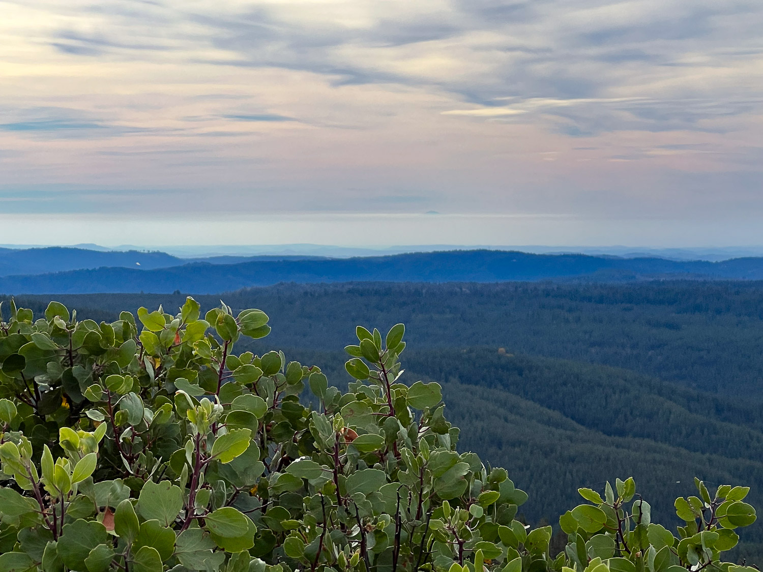
View to the west. I wish I could make an arrow on this photo. I’d point it to the mountain top that is Mt. Diablo, the mountain that I see due south when I walk Across the Road at my house. There is a strip of white above the mountains, below the blue-turning-pink part. Do you see a small dark bump just above that white strip, just to the right of center? That is the tip of Mt. Diablo. I think it’s interesting to see it from a totally different vantage point.
I started writing this blog in 2008, but when I started my SquareSpace website (www.meridianjacobs.com) in 2019 I switched to writing my blog there. It bothers me that if (when) I stop using the website for business someday and, therefore stop paying for it, I’ll lose all my blog posts. My blog is like my scrapbook and I like to look back at things every so often. Besides, I liked the way that I could find previous posts when I wanted to here. It’s never worked as well on the other site. I hope I can set this up the way I remember from the old days. Hmmm. 2019 was the “old days”, the “before” days. Before the major injury I had and before the pandemic. Things seem different now. Rusty’s blog is still here too although he didn’t write anything after mid- 2019.
Another thought is that the website blog should be business and this one is more the rest of life. However, in my life business and everything else are completely intertwined. Is it realistic to think I can keep up with two blogs? That’s doubtful. So this is a trial to see if I like this and how best to do it.
About two weeks ago we drove to Ukiah to deliver wool to the mill. Knowing this was the best time for wildflowers we planned to find a place to hike on the way back.
Here we are overlapping business and pleasure already. The trip was to deliver wool and I decided to bring my Ashford e-spinner to make use of time while on the road. It works great this way, although it would have been handy to have it on a box instead of the floor.
We stopped at a place where Dan remembered seeing a trailhead. Don’t confuse this Lynch Canyon with the one in Solano County. We were in Colusa County. There is nothing here except a place to park and this map, which has seen better days.
The trail is a dirt road and you can see that its going to be very hot once summer is here.
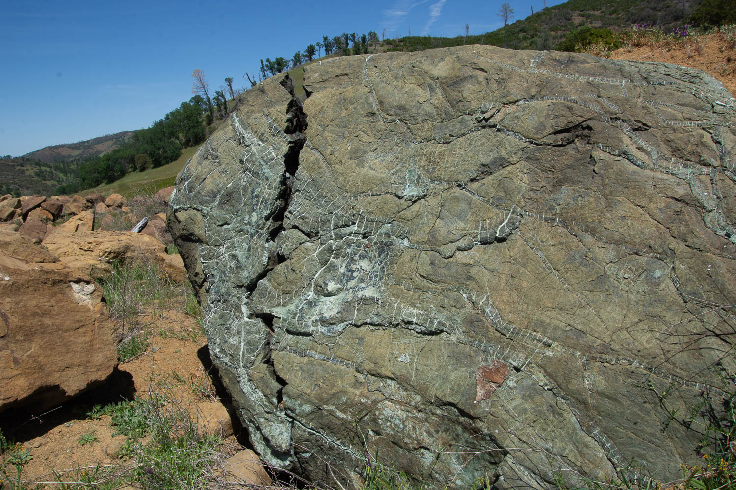
The first part of the hike is across the side of the hills where it looks as though maybe rock had been removed when making the highway. It looks as though the terrain was disturbed years ago. Along side the dirt road we were walking on were these boulders of serpentine.
I am fascinated by this rock and by the photo. Doesn’t it look as though that brown part in the center is something dropping in front of the boulder? Or is that just me seeing it that way? That is part of the rock.
I am disappointed that I don’t know all the plant ID the way I think I used to. However I don’t remember ever seeing this grass. It is quite different than the usual species we see.
I can identify an oak tree, however, even if I’m never sure of which oak it is.
About a mile or so away from the main road we found this building. There are old tables and chairs and evidence of electric lights. There is also a menu on the wall for “Roadkill Cafe” and it includes things like Chunk of Skunk and Awesome Possum. This is obviously a more modern addition and you can find downloads of various versions on-line. I looked because I was trying to find out some history of this building. The best I could find is the description of a hunters’ cabin at this location. It would have taken quite a bit of effort to get this building here and also power it (a generator for lights?). Or maybe it was brought here without the plan of ever having power to it again. So it remains a mystery to me.
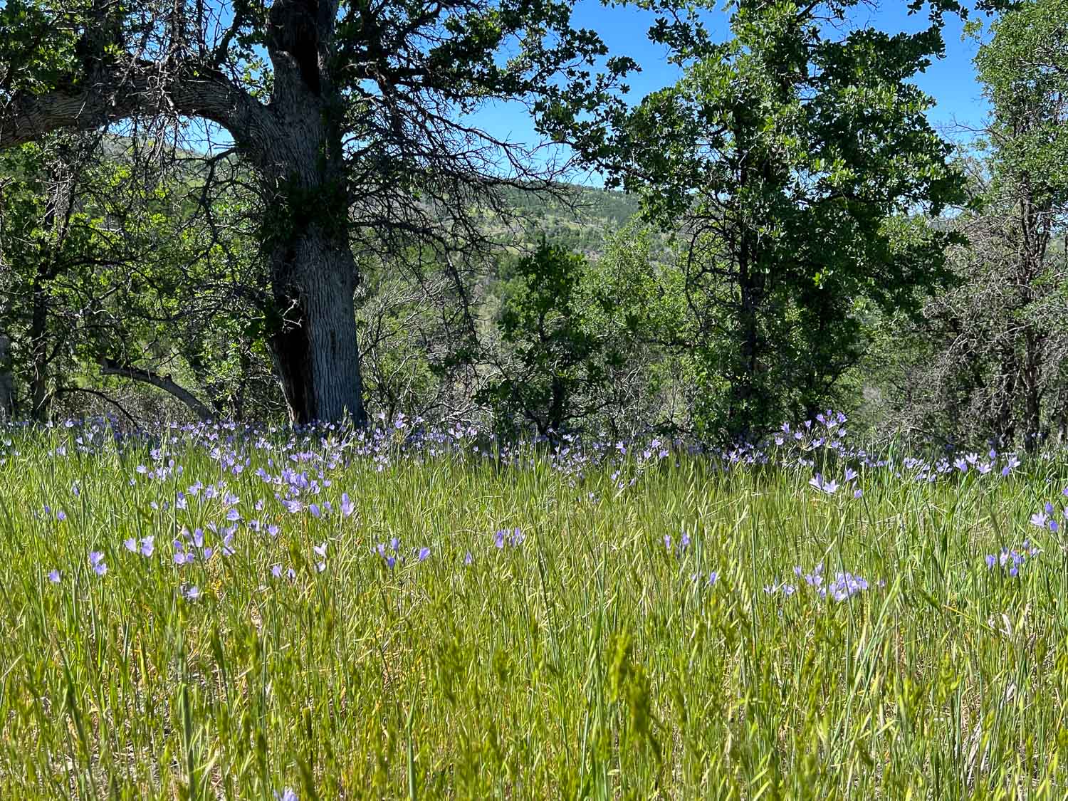
I was intrigued by these flowers, thinking that I recognized them and that they don’t get any more showy than this. Later I found one that had finished it’s blooming but I don’t have a photo. When it pops open it looks like a white papery dandelion. I have photos of that in one of the next blog posts I’ll write here from when I went to Jepson Prairie. It is called Blow Wives.
After a stream crossing past the cabin we found several trails going in different directions. We chose this one.
This flower is Ithuriel’s Spear, a native perennial.
In quantity, they were quite showy.
We didn’t reach the end of the trail. We kept going a little farther to see over the ridge, but there was never a ridge top to look over, just more hills and trees. Without a map we decided that we’d probably gone far enough.
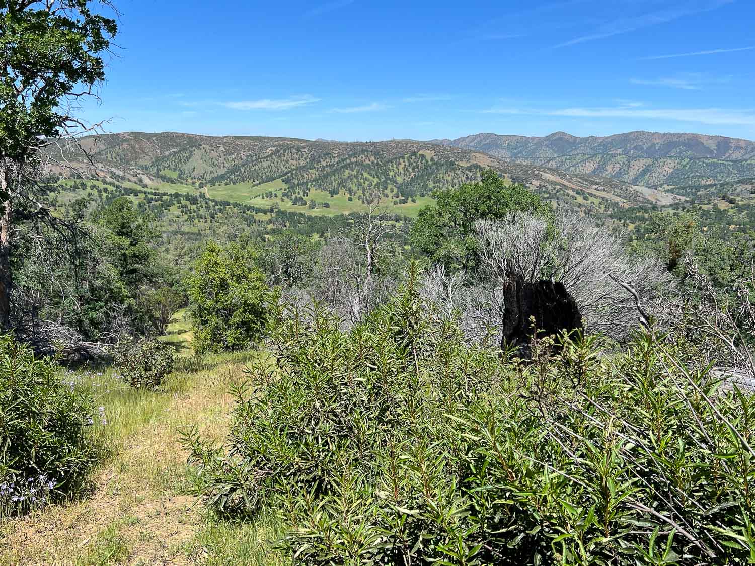
As we turned around and came back down the trail we did have a great view of where we’d been. You can see the dirt road through the grassy area at the base of the ridge on the left.
Buttercups I think.
A view of the Road Kill Cafe from the other direction.
Just beyond that point it looks as though the creek used to be dammed. This is quite a sizeable dam. It’s obviously not being used now but it makes me wonder again about the history here.
View from the car on the way home.
So I hope that I can format this blog the way I remember it from before. Then I’ll have to decide where I want to live…at Squarespace or here at WordPress… or both?
The Fibershed Wool Symposium was last weekend in Pt. Reyes Station. This is one of my favorite events of the year but this year it was more special because I spent the night in nearby Inverness with other Fibershed friends and we had our second Northern CA Fibershed Coop Board meeting on Sunday. Following the meeting four of us went on an impromptu hike on Inverness Ridge.
This local church was booked for any of the Fibershed group who wanted to spend the night after the long day at the Symposium.
It is a great place to stay for anyone traveling in that area. This was originally a house that was purchased from the Frick family in 1950 and turned into a church. There is a fascinating multi-level maze of rooms and halls and stairways. This view looks down from the third floor on what was originally the family’s living room.
I love this dining area, partly because the table is of the same era (at least from looking at some of it’s features) as the table that my mom bought and we still use, although this one is in much better shape than ours.
I stayed in this bedroom with five other women. There are several bedrooms with different numbers of beds. I think the place can accommodate 36 people. When I got up on Sunday morning I decided to take a walk before our meeting and headed up a road I found behind the church. This is my kind of Sunday morning.
The road I found led me back down to the main road and Tomales Bay.
It was after our meeting ended at about 1 that four of us set of for a hiking trail.
It is great when you find open space accessible to the public.
Rebecca pointed out huckleberries which were still on the bushes, although the normal harvest season was over. I wouldn’t have known and would have avoided these unknown berries.
Stephanie (wearing her handknit Jacob sweater) ate her share as did the rest of us.
This is a much wetter area than where I usually find myself and there were still signs of the previous night’s rain. Another testament to the dampness were the large slugs that we saw. The view overlooking Tomales Bay. What a beautiful day we had! As we were coming back down from the ridge that has a view of the ocean, another hiker coming up the hill saw our silhouettes and offered to take our photo. This is the view that she saw.
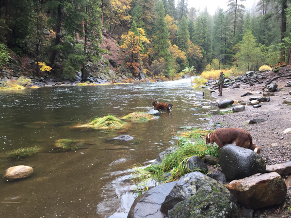
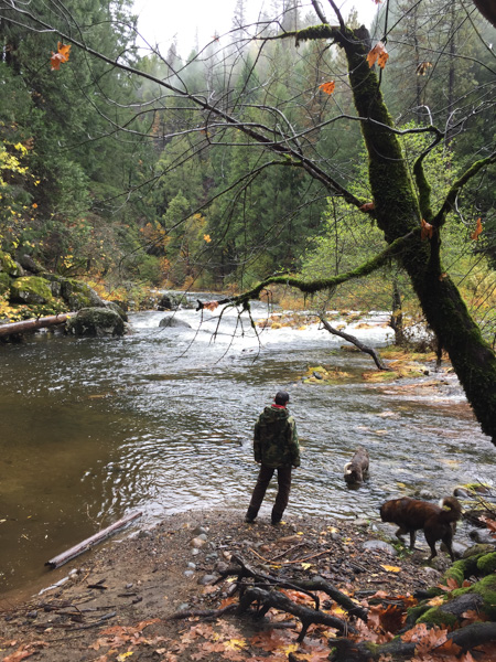
This morning I drove to my son’s house in El Dorado County to work on some computer issues. When there was a break in the rain we drove a short distance to Bridal Veil Picnic Area on the South Fork of the American River to take the dogs for a walk.
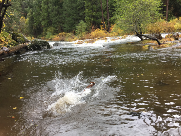
I just used my iPhone for photos because I didn’t want to deal with the other camera in the rain so it’s hard to see Kirin in this shot. He’s way out in the river swiming back with a tennis ball. That’s Sam nearer the shore and Ginny trying to decide about the river. Ginny isn’t use to going on walks without the focus of The Toy or The Ball.
This Ball was Kirin’s and it wouldn’t have been smart for Ginny to compete for it.
Eventually though I took one ball and when Kirin was distracted in one direction Ginny got to go for the ball in another. I didn’t want to throw it too far out in the river because #1, I wasn’t sure how far she would go out to get it and #2, we weren’t sure if she could handle the current if she did go out farther.
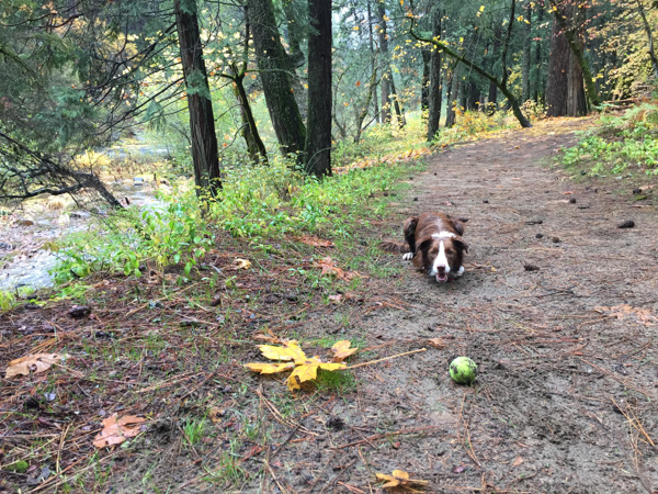
She did get plenty of ball time on the trail.
The people were looking at things besides tennis balls.
We spent about an hour and needed to get back to the house.
What a beautiful interlude. The rain makes everything look and smell so clean and fresh.







































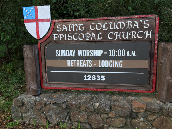 This local church was booked for any of the Fibershed group who wanted to spend the night after the long day at the Symposium.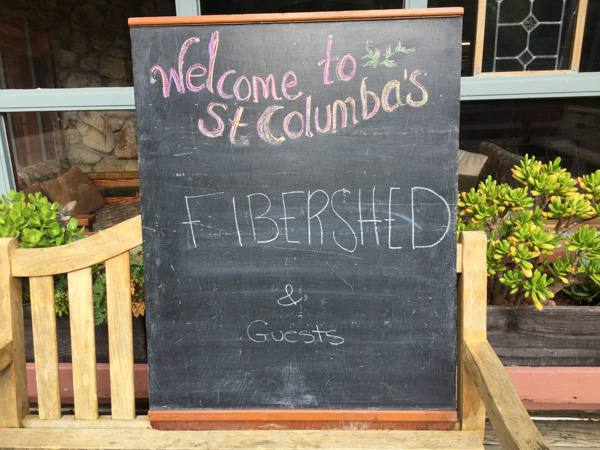
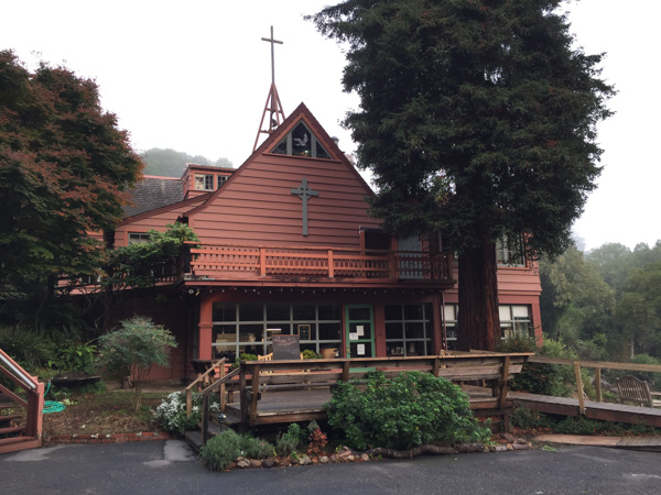 It is a great place to stay for anyone traveling in that area.
 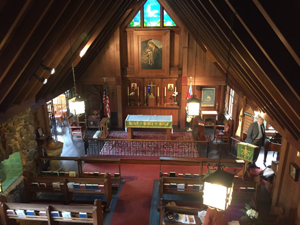 This was originally a house that was purchased from the Frick family in 1950 and turned into a church. There is a fascinating multi-level maze of rooms and halls and stairways. This view looks down from the third floor on what was originally the family’s living room.
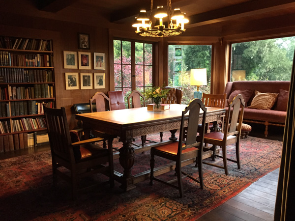 I love this dining area, partly because the table is of the same era (at least from looking at some of it’s features) as the table that my mom bought and we still use, although this one is in much better shape than ours.
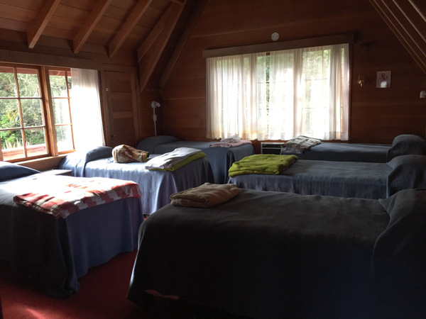 I stayed in this bedroom with five other women. There are several bedrooms with different numbers of beds. I think the place can accommodate 36 people.
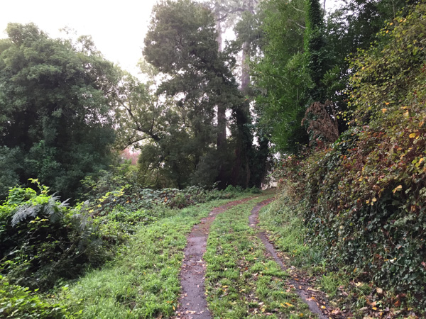 When I got up on Sunday morning I decided to take a walk before our meeting and headed up a road I found behind the church.
 This is my kind of Sunday morning.
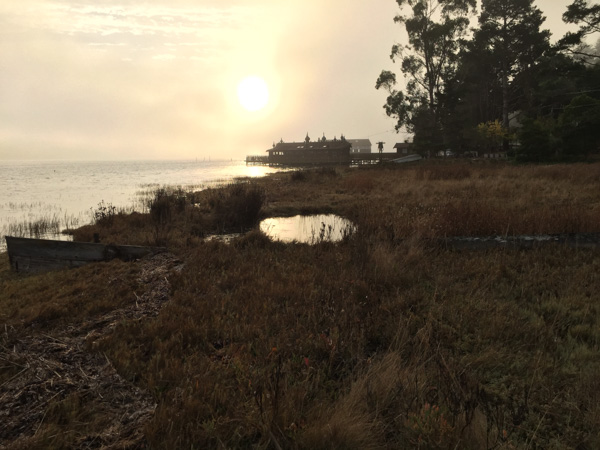 The road I found led me back down to the main road and Tomales Bay.
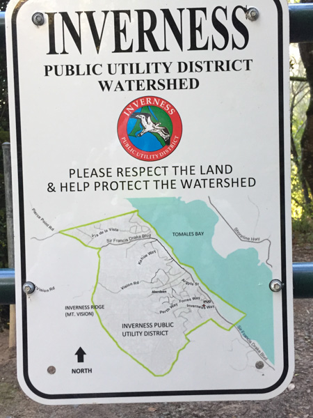 It is great when you find open space accessible to the public.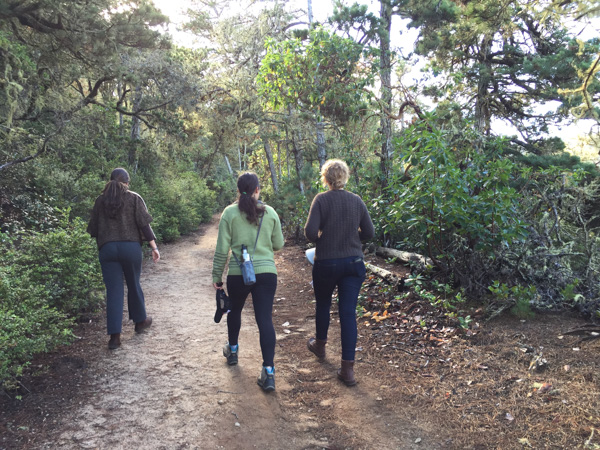
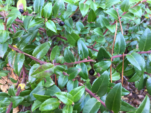 Rebecca pointed out huckleberries which were still on the bushes, although the normal harvest season was over. I wouldn’t have known and would have avoided these unknown berries.
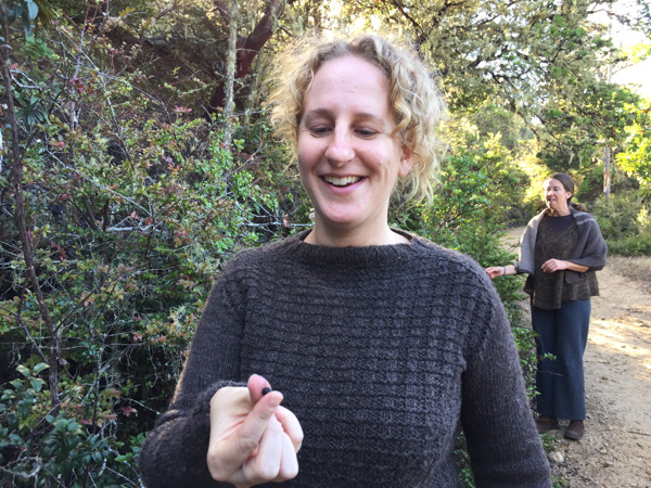 Stephanie (wearing her handknit Jacob sweater) ate her share as did the rest of us.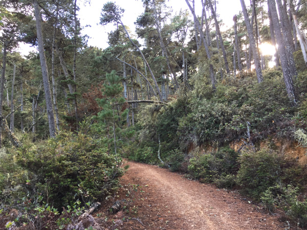
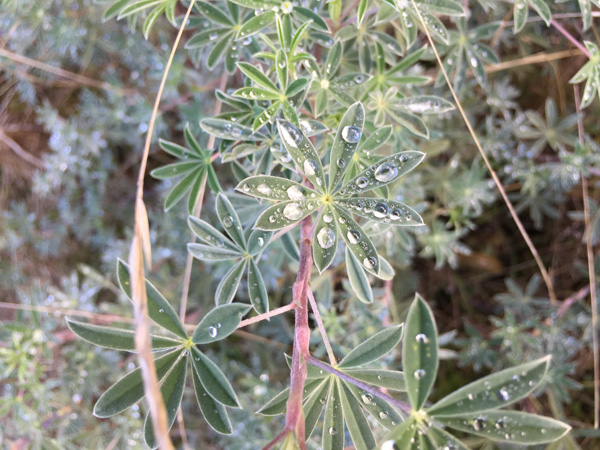 This is a much wetter area than where I usually find myself and there were still signs of the previous night’s rain.
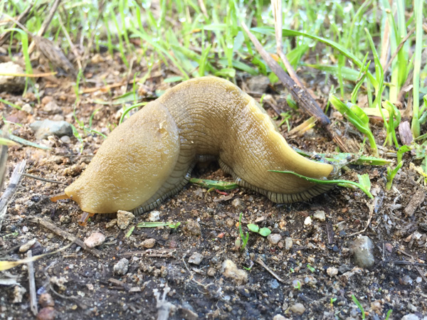 Another testament to the dampness were the large slugs that we saw.
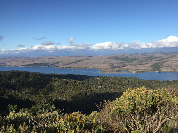 The view overlooking Tomales Bay. What a beautiful day we had!
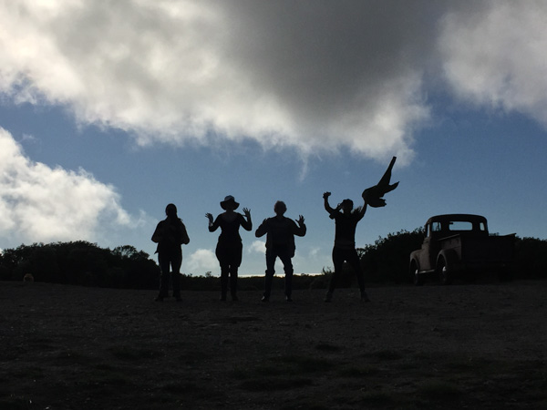
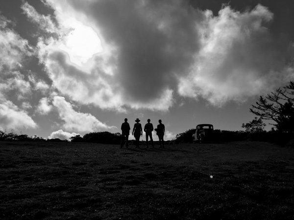 As we were coming back down from the ridge that has a view of the ocean, another hiker coming up the hill saw our silhouettes and offered to take our photo. This is the view that she saw.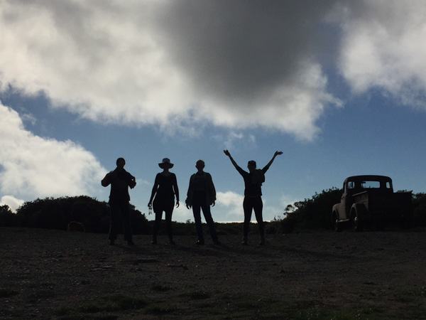
 Meridian Jacobs' Blog