
I was looking in Lightroom for a photo of ewe # 8056 and I typed in 856 by mistake. I saw a selection of photos that were fun to review. Here they are.
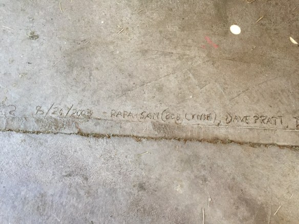 This is etched into the barn floor after one of our concrete pours. Papa-San was my father-in-law. Dave is my brother.
  And speaking of writing on the floor, this was taken Across the Road, not as permanent as the concrete etching except in my photos.
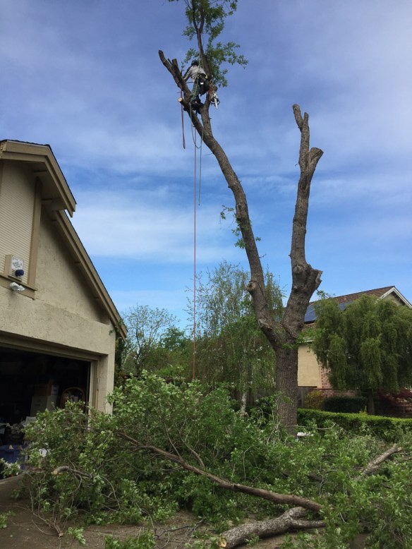 My oldest son side job is climbing trees to remove branches or, as in this case, to remove a tree that should no longer be where it is.
 Sunflowers.
 Wedge weave rug at Convergence in Reno last summer.
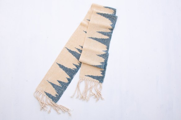
  Hiking in Arches National Park.
 Hiking on the PawPaw Trail in Maryland last spring.
 Taken from our road trip in September on our way back from Washington.
 The photo I was searching for when I mistakenly typed 856? This is ewe lamb 8056, Meridian Quartz, a 6-horn ewe lamb. People talk about Jacob sheep having six horns but I’ve never seen one that has room for six really distinct big horns.
 Chenille scarf using clasped weft.
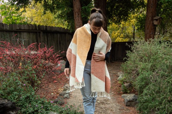 Local yarns dyed with coreopsis and dahlia flowers.
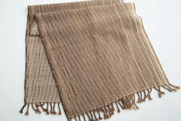 More local yarns dyed with mushroom and black walnut.
 This is the stack of ponchos that I finished in early November just before the Fibershed Wool Symposium.
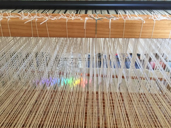 This is how the loom looks from where I sit.
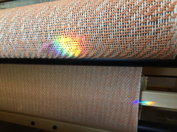 The rainbow colors are a result of a prism that hangs in the window behind me. After my mom died a friend gave me the prism and said that it was to remind me of my mom. And it does, as it reminds me of the friend, Sylvia.
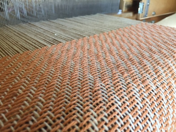 Coreopsis dyed yarn.
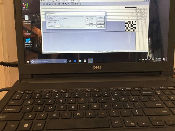 The computer that holds the “brains” of the loom. This loom does not weave without me doing everything (for those people who think that having a computer hooked up means I’m not really weaving). It only keeps track of the pattern that I have put in.
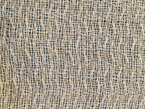 This is what that pattern looks like. It will be completely different after fulling.
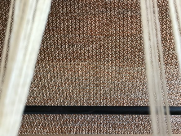 A look down through the warp threads to the cloth below.
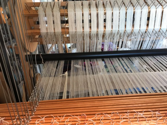 OOPS! I think I have this in an earlier photo and I haven’t told the story yet of what I did about it. That will still come.
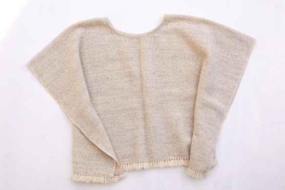 Some of the finished ponchos.
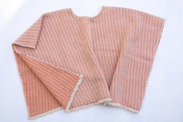
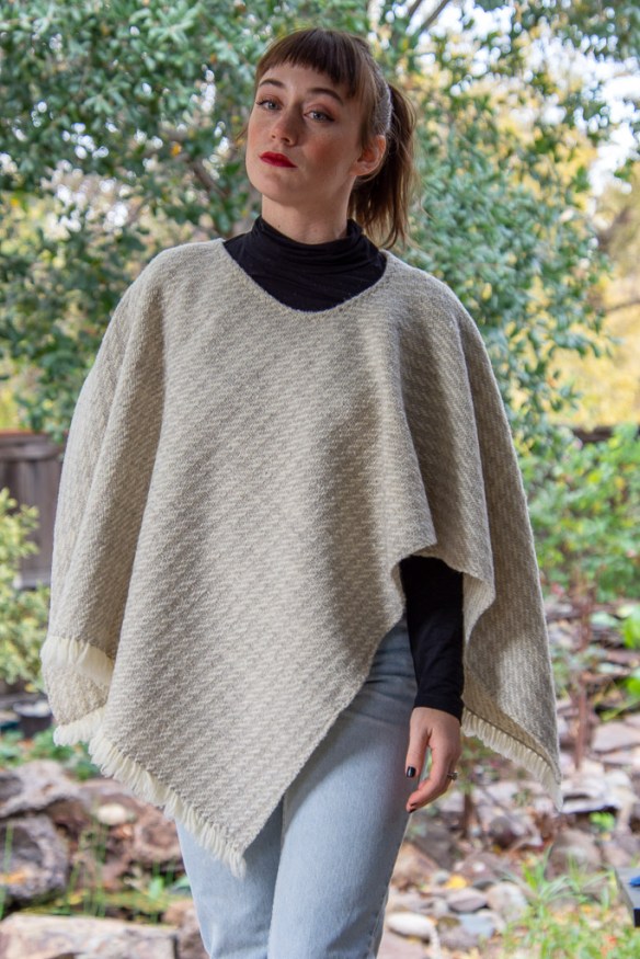
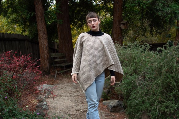 Talk about a versatile garment. I have grown to love the poncho. It’s really just a blanket with a hole in the middle for your head. Whether you’re at the computer late at night (gee, does that ever happen?), in the car, or trying to stay warm while reading in bed it’s an easy garment to throw on. And it also makes you look young and pretty! Just look at those photos! (Disclaimer–that’s really not me.)
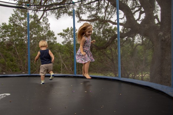
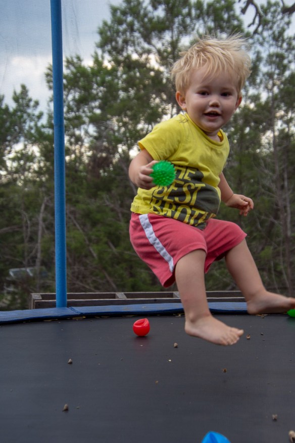 Kasen was about 21 months.
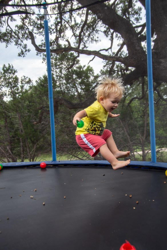

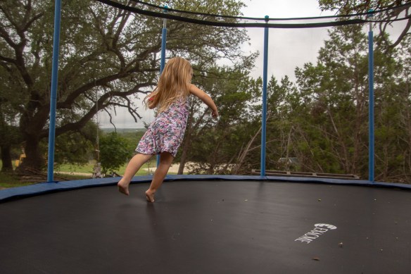
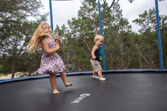 Kirby is was four and a little bit.
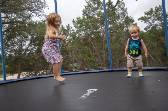 I think that I would have loved to have a trampoline when I was a kid.
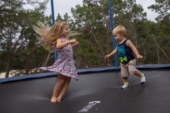

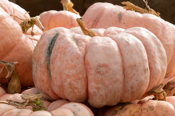 We visited the pumpkin patch to choose pumpkins and try to get a family portrait.
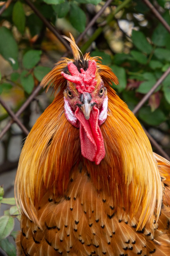 First, a chicken picture.
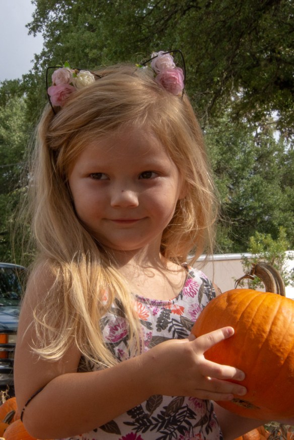
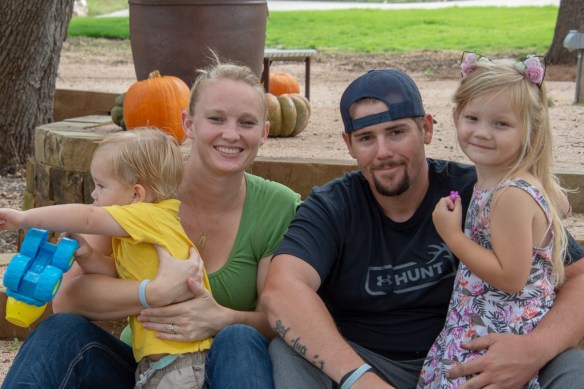
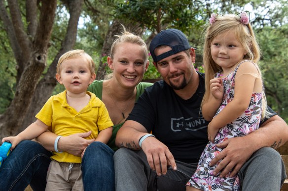 I don’t think it was possible to get everyone looking in the same direction at the same time. But a beautiful family nevertheless.
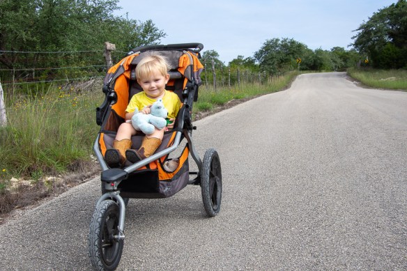
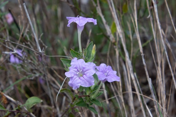
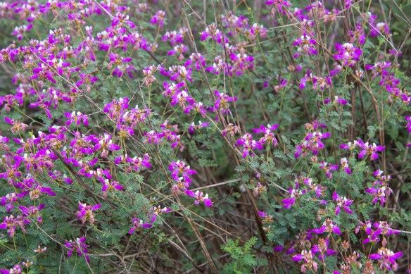
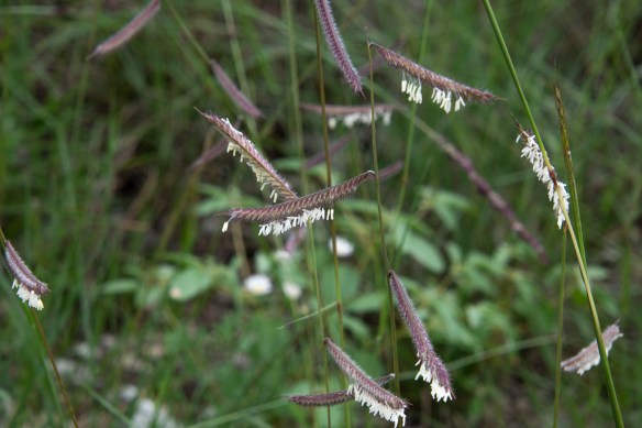
 We spent over a half hour parked on a bank overlooking the main road and watching cars and trucks go by. That entertained Kasen, but I was more entertained by the diversity of flowers there and on the way back–so many more than I expected in September. Unfortunately I didn’t ID any of these while I was there and I just spent some time on-line looking for them, but I gave up. I’m just going to enjoy the photos and maybe use Katie’s wildflower book next time I’m there.
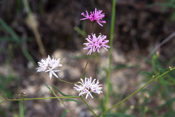


 Once Kasen was out of the stroller than I was more involved in keeping him out of trouble than playing with my camera.

 I didn’t list this one because right now I can’t find it. That may mean it is at the Artery. Or did I sell it? This is what I mean be trying to keep track. I’m not doing very well with that.
 My niece was nice enough to model for me at Thanksgiving.
 Photobombing brother.
 These are yarns from Lunatic Fringe and all appear in the latest scarf I wove. Hopefully I’ll get to that blog before too long.
 I wanted to write about the weekend in Santa Barbara where I presented the Guild program and then taught a Jacob wool class.
 I have stories about the weaving I was working on. This one is clasped weft. (With three yarns in each pick it took FOREVER.)
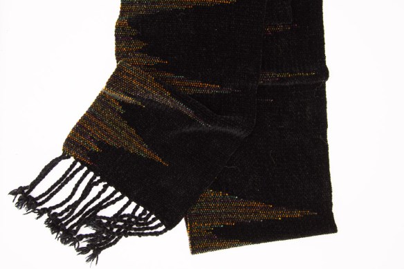 I have more clasped weft stories, but based on chenille.
 Overriding the last half of the month was the Camp Fire, a terribly destructive fire. Even though were not affected here (other than the unhealthy smoke levels) I couldn’t help but think about it most of the time. This fire was destructive on such a massive scale that the population in Butte County still needs help from volunteers. This photo is one of four pieces that I donated to
  While I was trying to squeeze all the weaving that should have happened throughout the year into a month I ran into this problem at the end of a 21 yard warp. Fortunately the other 18 yards were just fine and produced 10 ponchos. I was going to write a blog post about what I did about this.
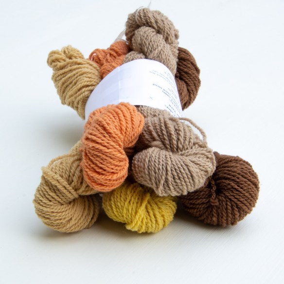 I also finished up my dyeing for the season and put together bundles of yarns for sale. I have lots of pretty flower and yarn photos to share on the blog.
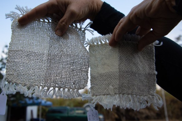 I continued to help new weaver’s problem solve even if it was by sharing photos via email. (This one is before and after washing.)
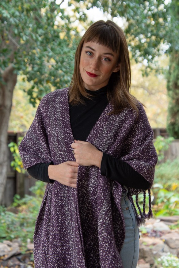 Thanksgiving came along the day before the big show (for me) of the season, the Crocker Holiday Artisan Market. I took some of my pieces to my brother’s house so that I could photograph them with a professional model who happens to be my niece. Now I’m self-conscious about using these photos because my niece works with real photographers and I want to do her justice.
  My brother also helped model. He demonstrated how wool dryer balls could be used for juggling.
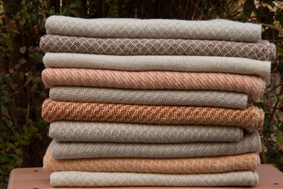 I finished these ten ponchos just in time to take them with me.
 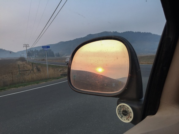 Driving over early Saturday morning, the brown, smoky skies and red sun are a reminder of the tragic fires still burning in California. (The sun looked red in real life.)
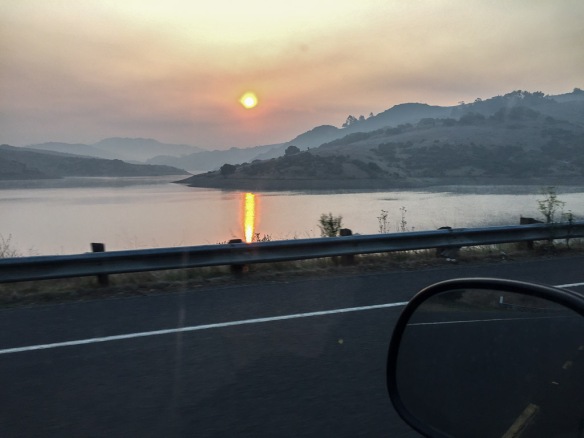 Our area is impacted by the Camp fire in northern CA.
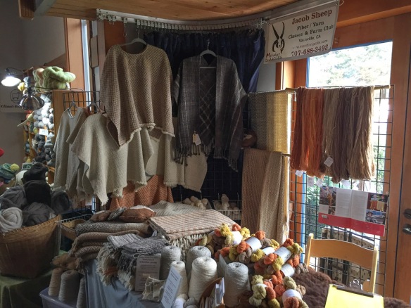 Once at the venue I got my area set up. We are given one table so I bring some grids to put in back and expand my space. I fit a lot of weaving and yarn into one place.
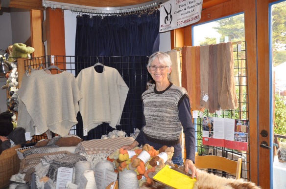 Friends stopped by and took photos.
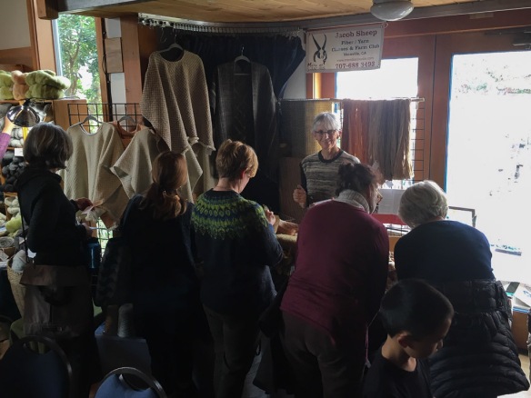 Some vendors are outside or in other rooms and have foot traffic throughout the day. I have always wanted to be in the main room where the speakers are presenting. That means the sales opportunities are clustered into a few breaks and the long lunch time.
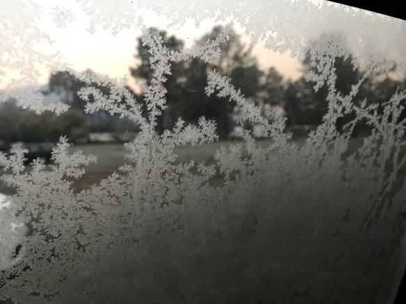 Photo from the inside of the camper shell shows that it was a lot colder than it’s been at home.
  Fellow camper and Board member, Carol (sleeping in a van next to my truck), went with me as soon as we emerged from our vehicles to go find warmth at a coffee shop while we waited for time to go to our meeting. We were both still dressed in everything we wore to bed.
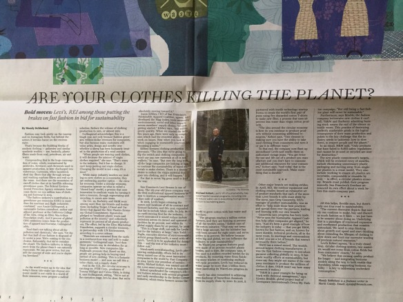 This is one of the articles inside. Although they don’t talk about sourcing our clothes from locally grown fibers, they do address the issue of the incredible waste in the textile industry and consumerism. Seems appropriate to end the weekend.
 Meridian Janie (bide a wee Buster x Meridian Jane)
 Meridian Maybelle (bide a wee Buster x Meridian Mae) This ewe was going to be on my sale list but she had an unexpected tryst with Cayenne and may be pregnant.
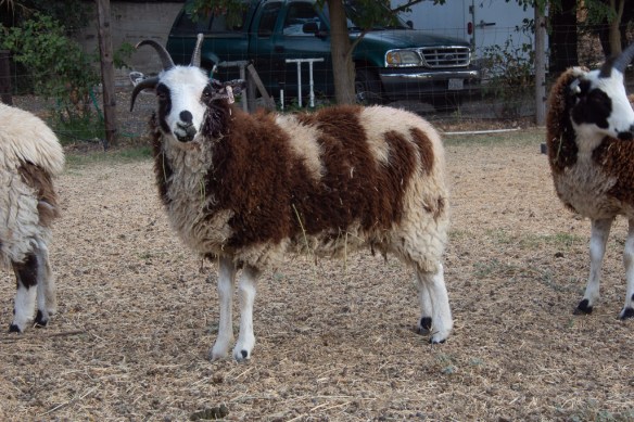 Meridian Ruthie (Meridian Cayenne x Meridian Ruth), who just broke her horn and is somewhat bloody on one side. This is another ewe who may be pregnant after the aforementioned incident.
 Meridian Zora (Meridian Cayenne x Meridian Betty)
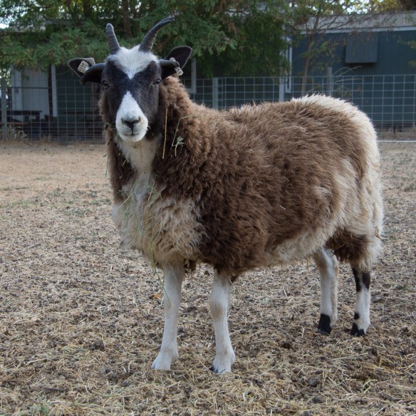 Zora is a pretty little lilac ewe who was chosen from Day 1 for her cute markings, although “cuteness” isn’t listed under the JSBA Breed Standard selection criteria.
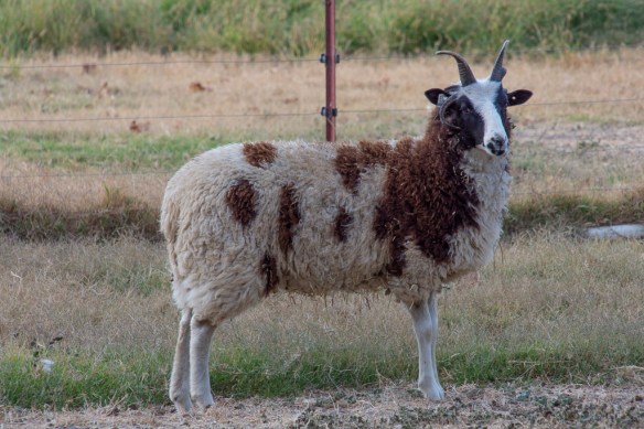 Meridian Quartz (bide a wee Buster x Meridian Jade). Quartz was chosen because, besides being a nice looking ewe, her mom is everyone’s favorite pet sheep and…
 …I want to see how her 6 horns grow out.
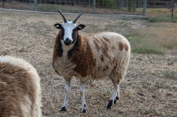 Meridian ??? I haven’t named this lamb yet but she certainly deserved a good one. (Meridian Serrano x Unzicker Shenandoah)
 bide a wee Marion (Ruby Peak Cinnamon x Meridian Maven), who didn’t go home to Oregon after the AGM we hosted in August.
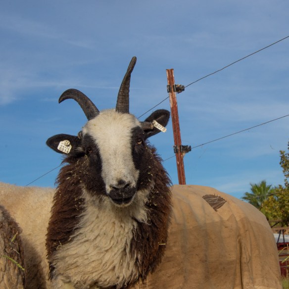 Meridian Janna (bide a wee Buster x Meridian Janis). Janna is a big tall ewe lamb and is out with the breeding group, possibly to be bred by Meridian Axle.
 Meridian Soprano (bide a wee Buster x Meridian Sonata) has definitely been bred by Axle.
 Jade is our most in-your-face (but in a good way) sheep.
 Trista is next.
 We had a lot of people earlier in the day but these are the hard-core sheep huggers who was left at the end.
 I brought the groups in one at a time and separated the rams. That’s Buster in the pen. His nose is already bloody because he was ramming the panel to try to get to Axle, the young 2-horn ram in the middle of the photo.
 Most of the ewe flock was back together now and that was Clark’s lucky day! That’s him in the background with his head turned away.
 Meanwhile the other four rams went into their “buddy-up” pen. The point of this is that they are confined enough that they can’t do much damage. That doesn’t mean that they don’t hit each other but at least they can’t back up 10 feet and come charging.
 After a few days of learning to be buddies again they went back to the ram pen with minimal fuss. They all had figured out the pecking order. Cayenne (above) is #2.
 Cayenne. I love a nice two horn head.
 This is Spark, Cayenne’s full brother, born this year. There is the difference a year makes. Cayenne was born last year.
 Brothers.
 Bide a wee Buster is #1 in the ram pen.
 Buster is 3 years old and Clark is his son from this year.
  Bookends?
 Here’s the lucky ram who gets to stay out with the ewes for another few weeks. This is Axle, also a 2018 ram. He is wearing a blue marker…
 Today I moved most of Peyton’s ewes back to the flock. Three of them were the Pope Valley sheep that came this summer, and they immediately found their two friends. That’s the five or them in the front. Large Triangle, 4-Horn, Small Triangle, White Ear, and Crooked Blaze in the back. (They do have names but I remember them better by what I called them at first.)