When I left off the last Road Trip post we had just entered New Mexico on the evening of the tenth day of our adventure.
When we drive I have a mapbook open on my lap–not because we don’t know where to go, but because it is more interesting to see the names of geographic features and points of interest that me might not otherwise know as well as figure out which are public lands where we can camp. I supplement that with looking things up on the iPhone. It was late and we needed to stay somewhere. I saw that if we veered off Highway 10 a bit we could camp in the Organ Mountains. The mountains lit by the setting sun, taken while driving up Highway 70.Water tank outside of the Space Mural Museum at the town of Organ (population about 300 in 2010).
 This is a photo of the east side of the Organ Mountains, taken as we drove past the entry sign. That is because I was actually looking for something a little different. I don’t remember what I googled but what I found on the iPhone was Organ Pipe National Monument which, yes, does have camping, and where we figured there would still be space on a weekday night in the middle of the summer. We had to drive a few miles down the road before we could turn back to the road to the campgrounds.
  A view of White Sands at the base of these mountains. White Sands Missile Range is almost 3200 square miles and the town of White Sands is at the southern end. We had considered going to the White Sands National Monument before going to Texas but it was one of those times where even though we drove “right by it” according to the map we weren’t really that close. We chose to go to Carlsbad Caverns instead. Here was White Sands again. The map shows that there is a visitor center and a museum in the town that is separate from the National Monument, which is 40 miles or so further north. But this was late in the day and at this point we were on a schedule to get home.
We found the campgrounds which were at the base of the Organ Mountains. What I didn’t figure out until I was looking at my iPhone later that night was that the reason the road didn’t look right and the other descriptions were a bit off was that we were at BLM’s Organ Mountains National Recreation Area, not Organ Pipe National Monument which is in southern Arizona. OOPS! Good thing it all worked out or we might have found ourselves trying to find a motel back in Las Cruces.


 That 2-horn ram (15022) in the middle is a good sized lilac ram and we all had our eyes on him from the beginning. Unfortunately I think that his horn set is also narrow. This is another one that could benefit from time to find out how the horns actually do grow out.


 We were packing the truck. I wondered if Kirby would miss us for a little while because we’d been there for four days. Probably not, but I hope that she will remember me next time I see her.
 Time to leave. I needed to be home by Friday.
 There are more mountains than I expected.

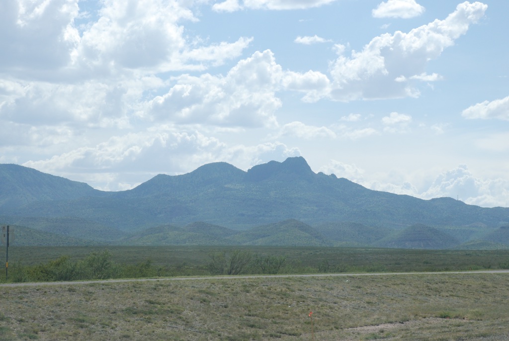
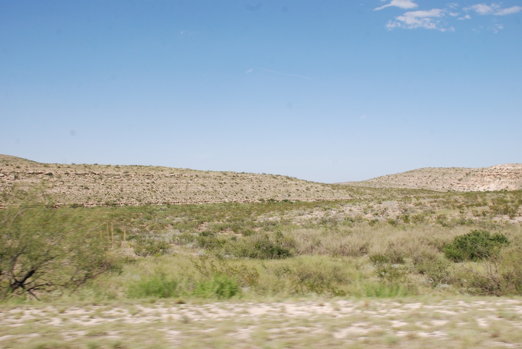
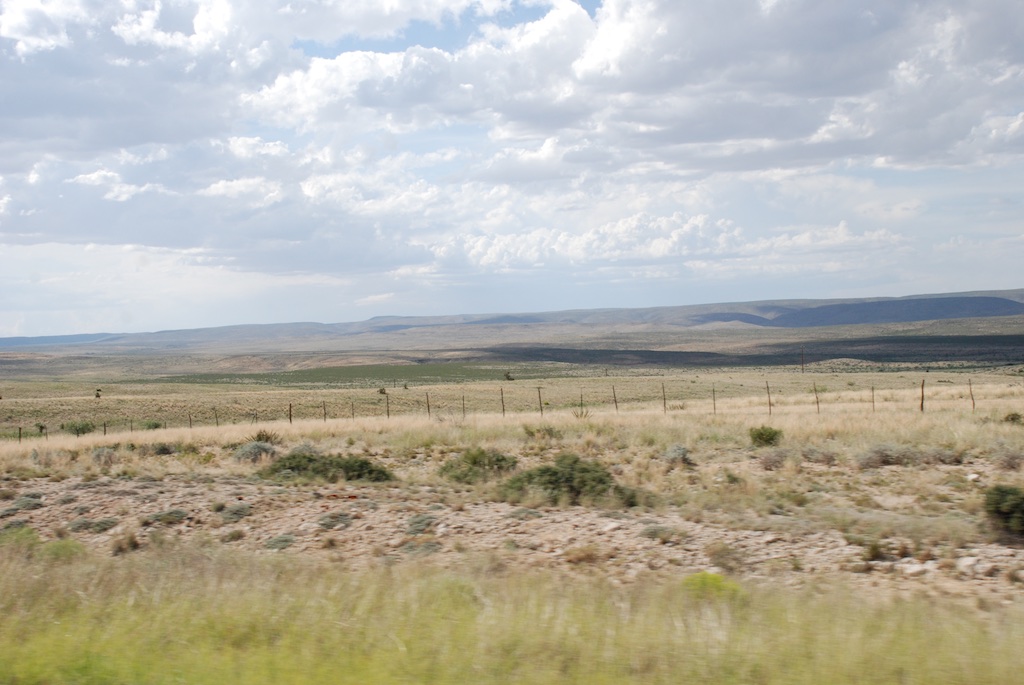
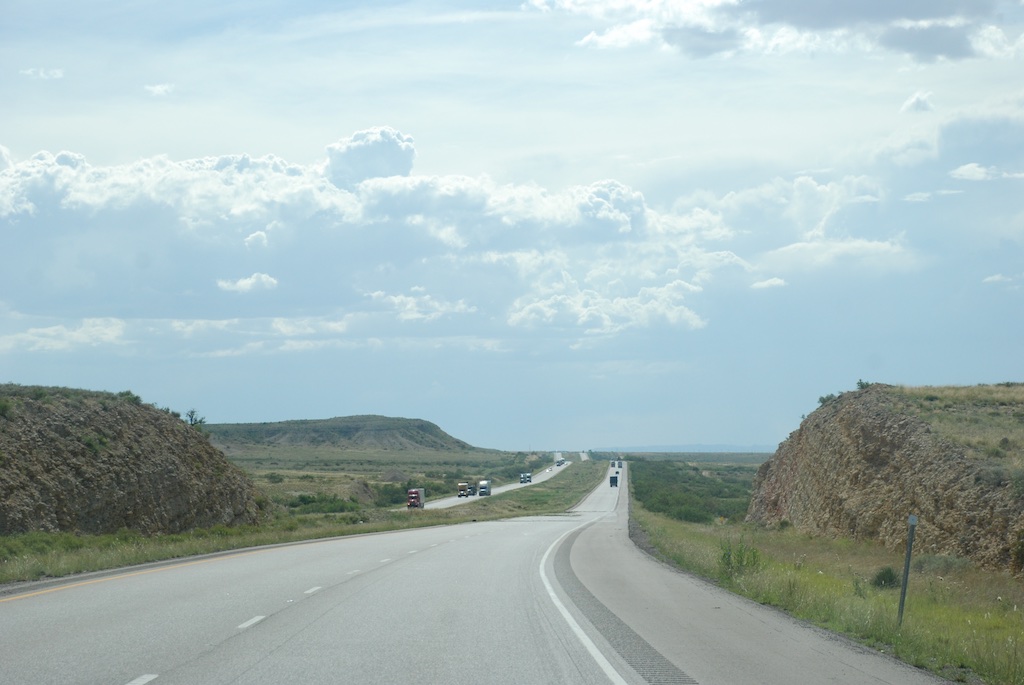
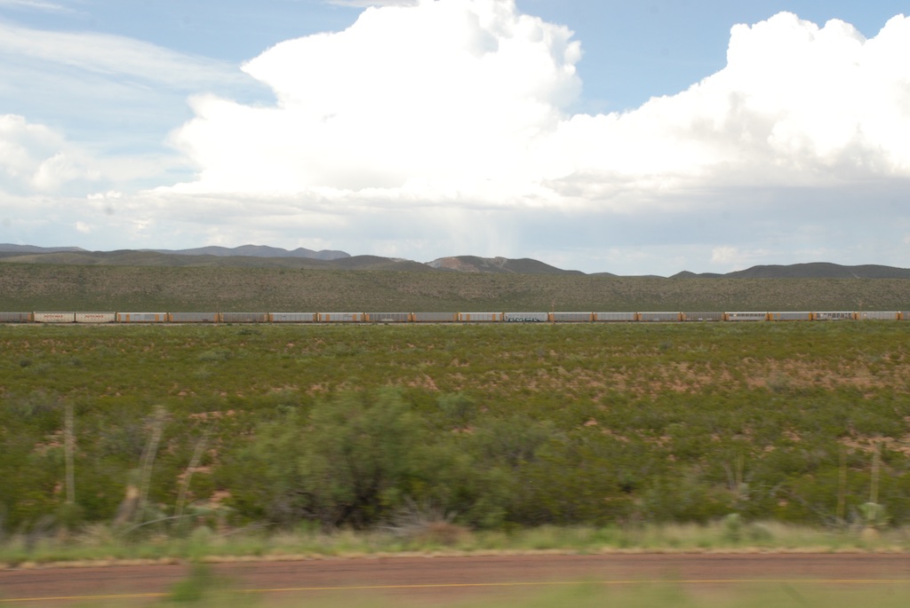
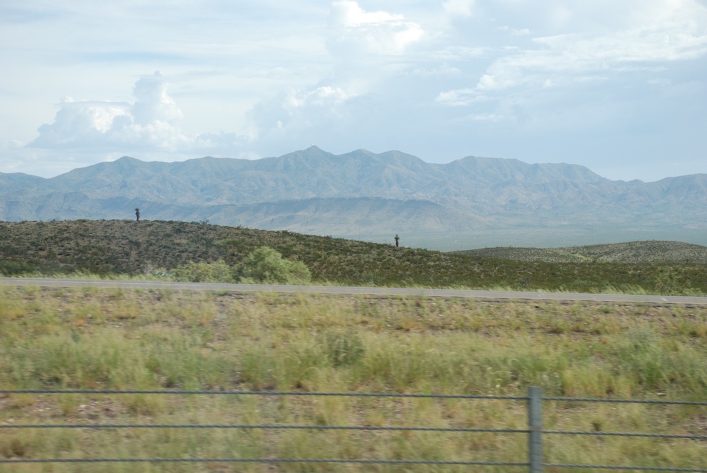
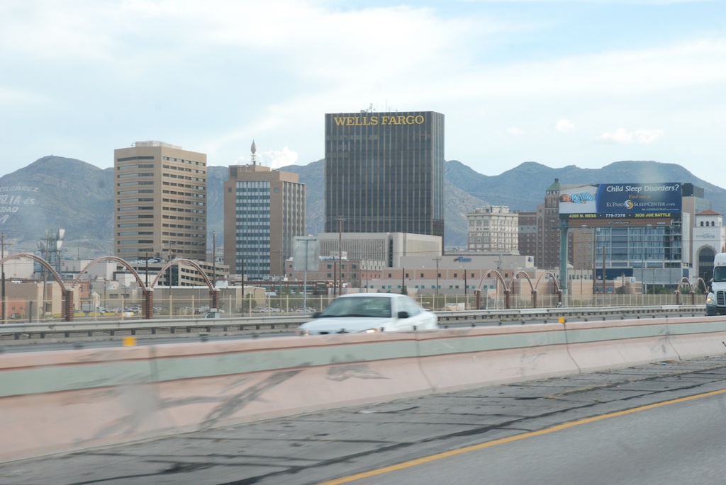
 Dropping into the Rio Grande valley.


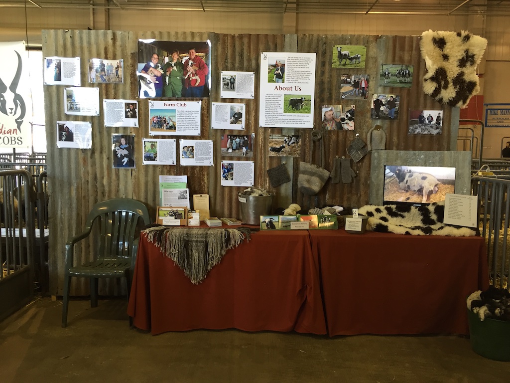
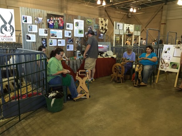 This is what the main part of the display looked like. I used rusty tin (and I didn’t have to do the DIY TV shows’ trick of using acid on perfectly new tin to make it look that way) for the background as well as additional signage over the sheep pens. I focused on


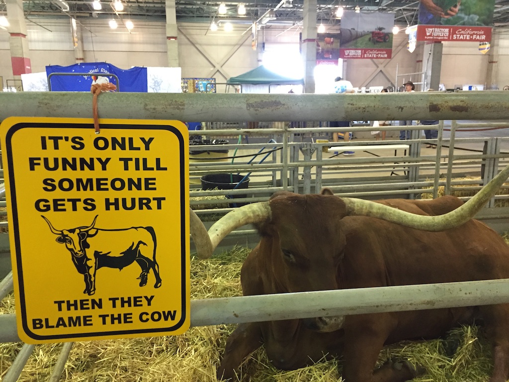
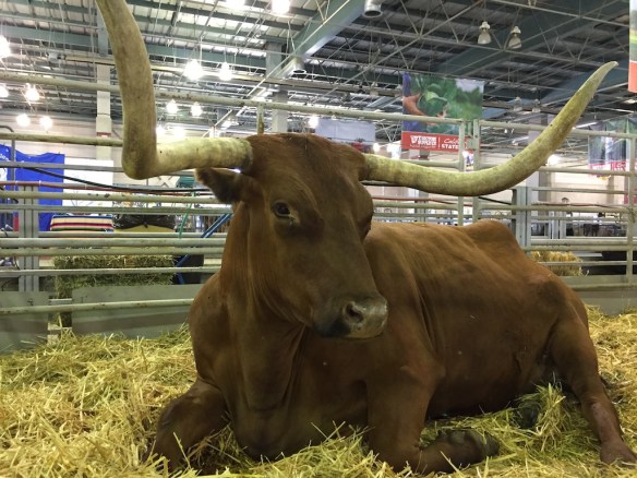 At the other end of the barn there are the longhorns. I am afraid that this is a dying breed–not the cattle, but the people who bring them to the fair. There are only a few exhibitors left now and I hope that someone else will choose to show them because they are always fun to see.








 We entered the church through the Door of Life and left it through the Door of Death.
 Just as we had seen in northern Arizona and New Mexico everything was green. Summer monsoons are the norm, but there have been several dry years so this particularly wet year is a welcome change. However there can be too much of a good thing. We saw the signs on the Blanco River of the recent high water and were amazed at just how high it was.
  Katie and Kurtis live on high ground between Blanco and Wimberly (where the horrific May flooding swept houses and people away) so they were in no danger. This wash just down from their driveway has running water now but during the flooding was many feet higher and impassable. Hard to imagine.
 …the rams…