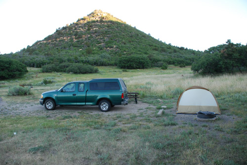
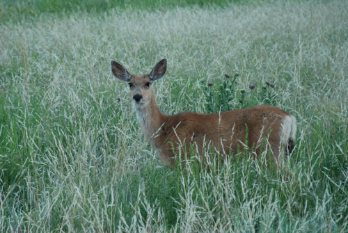
We started Day 4 of our adventure after a restful night in the Black Hills National Forest in Wyoming. (Here is the campsite in Day 3.) I was up before Dan and walked off with my camera. Wildlife!

So what if it’s just chipmunks! They were close enough for me to get decent photos.

And they were fun to watch as they ran in one side of the cattle guard rail and out the other.

This is a view of some of the forest outside the campground.
We got on the road and looked at where to go. Now I’ll tell you why I had originally chosen South Dakota as our destination for this year’s trip. Months ago I was reading a sheep magazine and saw a reference to a Sheep History exhibit in South Dakota. I looked it up and it was in an Ag Heritage Museum in Brooking, SD. There was a lot to see along the way so I suggested that as our turn-around point. However, Brooking is on the far eastern side of SD. After the first two days of driving and looking at all the things we wanted to see where we were now and our limited time I pulled the plug on driving clear across the state to see that one place. It seemed kind of silly to add another two days of driving to the trip just for a few hours in a museum (or to not add two days and be driving for that long a stretch).
So, back to the map. There was plenty to see in western SD: Mt. Rushmore NM, Jewel Cave NM, Wind Cave NP, Buffalo Gap National Grassland, Badlands NP. Dan still wanted to avoid Sturgis with all the crazy motorcycle stuff. So we looked for a road around it. I saw on the map “Geographical Center of the United State”. Really? I looked at the U.S. map. That didn’t look right. I googled it.

If you include Alaska and Hawaii, yes, there is a place, not too far over the border of SD, that is the Geographical Center of the U.S.

It turns out that the real center is in a privately owned pasture 20 miles north of the town of Belle Fourche.

The town decided that there should be a more memorable and accessible monument for something as cool as being the Georaphical Center of the U.S. …

…so this was created in 2008. It is at the Belle Fourche Visitor Center and Museum.

The museum turned out to be very interesting (and maybe a smaller scale of the one that we were going to miss in Brooking) and we spent some time there. There were exhibits about the cattle drives from Mexico to Canada, the importance of the railroad station in Belle Fourche (4500 train carloads of cattle per month in 1895), the Old West in movies and TV, early settlers, rodeo history, wartime, and old-time bad guys. There was also an exhibit about the importance of the sheep industry in South Dakota. 
This is a sheepherder wagon that is outside the museum. There were a lot of photos of the sheep history of the area.

South Dakota is currently fifth in the U.S. for sheep production…

…and the sheep industry is an important part of South Dakota’s agricultural economy.

This isn’t a very big museum but there was a lot to see in the small spaces. In the area that showed something about life in “the old days” there was this device used to do something to women’s hair. An early perm?

it’s kind of hard to see this bicycle but I thought it was interesting in that the handlebars, seat, and wheel rims are made of wood.

After a few hours we decided that we’d better get on the road again. This is a view before we left town.

What do you think of this one? It was kind of scary to have this view on the highway but that truck was going the same direction that were are because it was being towed behind another.
South Dakota was not what I expected.

We had camped in the Black Hills National Forest in Wyoming but it continues in South Dakota.

We were headed now to Jewel Cave National Monument and took a road designated a “scenic drive” and it was. Beautiful country. This is an area known as Spearfish Canyon.

This National Monument as well as many of the others we planned to visit are all within this area of the Black Hills National Forest.


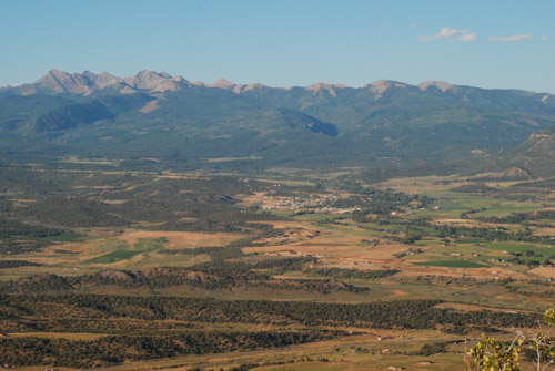
I continued to find the scenery breathtaking. Too bad the drive-by photos can’t really show that.

We signed up for a cave tour but had some time in the Vistor’s Center first. Jewel Cave was discovered by two prospectors in 1900. Only a mile of it had been documented when it was made a National Monument in 1908. Now it is known to be the third longest cave in the world with over 180 miles of passages that have been mapped and more that have not. The cave extends beneath about four square miles of land but there is only one known entrance. The areas in yellow are closest to the surface and the redder the color, the deeper the passage. The deepest point is 749 feet below ground.
Thirty of us gathered with our Ranger and rode an elevator down to a double set of doors that created an airlock when entering the cave. I am not a big fan of dank, underground place, preferring wide open spaces and sun. Nevertheless, this was a cool (no pun intended although it was sweatshirt weather below ground) tour.

It was OK to take photos. I can’t tell you what any of these formations are because (although once, for a very brief period, I thought I might be a geologist) I don’t ever remember rocks and geologic time.
I can admire them however.

There were lights placed strategically along the mile-long tour route and lots of walkways and stairs.

At one point the Ranger turned off all lights and that is very eerie. I think of Tom Sawyer and Becky in the cave and running out of candles. Yes, I prefer wide-open spaces and sunlight. (By the way, no photos of lights-out in the cave.)

This one reminds me of an ocean scene.


Here is an example of the one of the walkways. The tour was about an hour. After that I bought my patch at the gift store and we spent a little more time in the Visitor Center.

We read about the ecosystems we were traveling through. I have lived most of my life in California, have traveled in many of the western states, including the desert southwest (where I lived for a couple of years) but have never been in the prairie. This sign and others explained a bit about the difference between the Short Grass Prairie and the Tallgrass Prairie, where we’d be traveling next. The Black Hills are in between.

Bison grazing.

We planned to visit Badlands National Park the next day. We knew that it might be tough to find a camping spot on a weekend without a reservation in the National Park but we thought that we’d be able to find a place to pull over and sleep somewhere in the National Grassland that surrounds the Park. We had been told by a couple of people that (as we know is true in the National Forest) if it’s public land you can stay there. This sign indicated that we were in Buffalo Gap National Grasslands…

…complete with buffalo.
My big mistake was not getting the map book for South Dakota before we left. I realized too late that we didn’t have it and thought that we might be able to find one on our trip. Since neither of us like to spend time driving through cities even if its to a bookstore, we never got one, and instead had to rely on a road map of the state. That was totally inadequate for the way we are used to traveling. We couldn’t tell where there was private land and public land and we had no idea where the little dirt roads went. Later I saw a map that would have been even better than the map book for our purposes. There is a map available of the Grassland that shows land ownership. No wonder we couldn’t figure it out–it’s all a big checkerboard of private and public land. We’ll know for next time.
So we drove through the Grassland as it was becoming dusk. We couldn’t identify anywhere that looked like we could stay. It is after all, grass, and all fenced. We’re used to driving through the forest or even the desert and being able to drive off on a dirt road away from the main road and camp. Eventually it got dark and we continued driving into the Badlands NP. As we thought the campground was full. We continued on, entering the Grassland again. We pulled off on one possible road that was clearly marked as a trailhead on public land. But law-abiding citizens that we are, we left when we saw the sign that said “No Overnight Camping”. I was feeling less law-abiding than Dan, but I was not the driver. We tried another road that was still part of the Grassland and passed another place, Minuteman Missile National Historic Site, that would be interesting to visit in daylight hours. This gravel road was on our map and continued for a few miles. However, every time we turned on what looked like a possible side road, there was a gate, or an obviously cultivated field. We finally went back to the highway and drove east.
You might be wondering, why don’t they just get a motel room? The first answer is that there were none around. However, eventually we got to the highway, and, yes there would be motel rooms. But, this was a camping trip and we had comfy sleeping bags and I had a sheepskin to sleep on and we could sleep in our truck. All we needed was a place to park. We saw a rest area on the map so we went there.
To Be Continued.


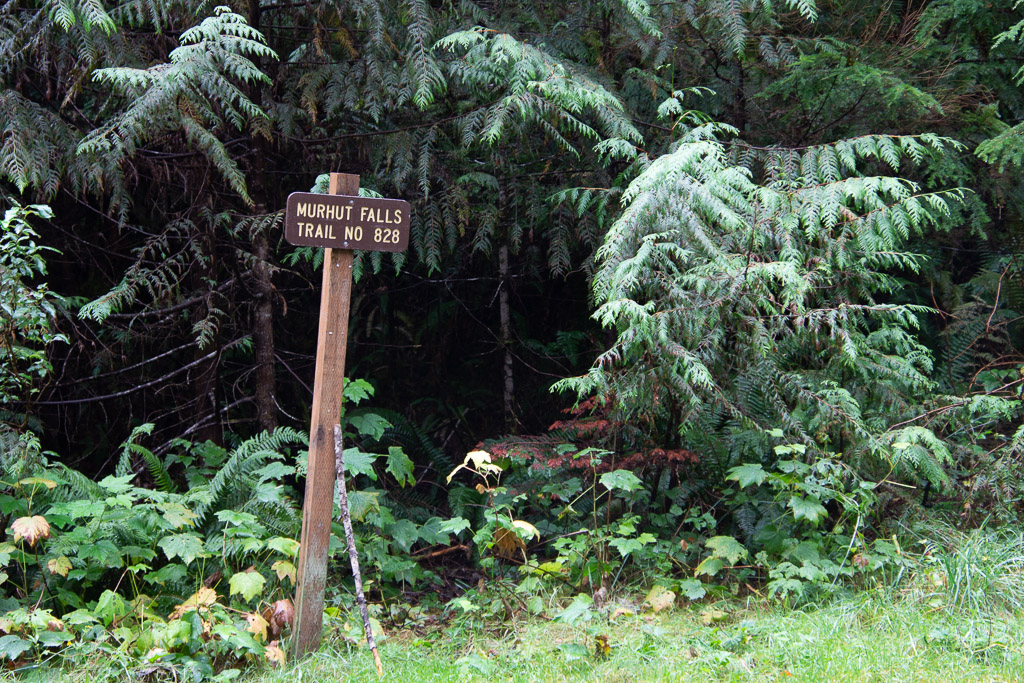 Our first waterfall on the trail, and before getting to the park, was Murhut Falls on the Duckabush River.
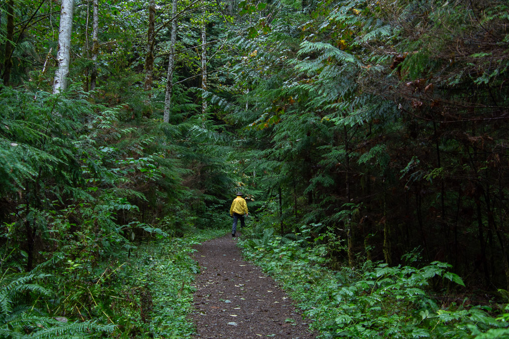 I first wondered about the name of the river. You have to duck under bushes if you don’t have a ready made trail? No, in a side trip to Google I found that it is an Indian word meaning red face, referring to reddish bluffs in the area.
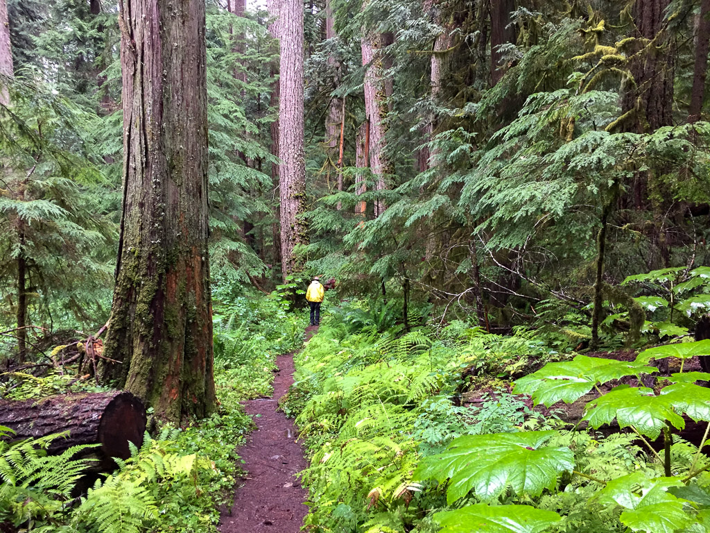
 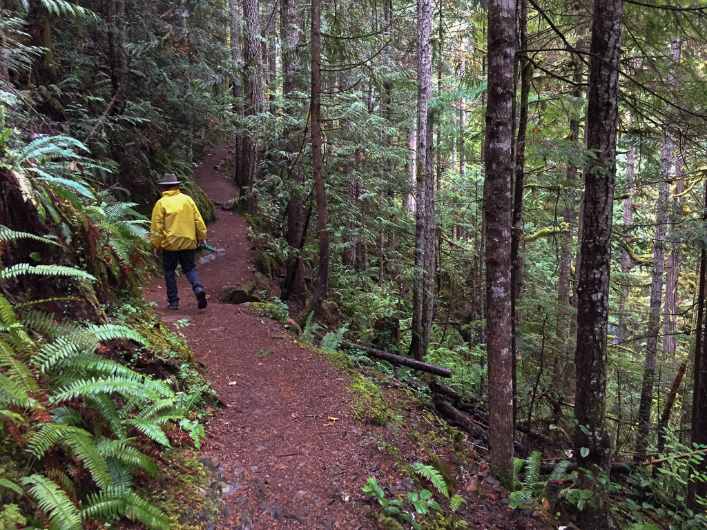 As we found in all our wanderings in this area, the forest is dense, damp, and spectacular.
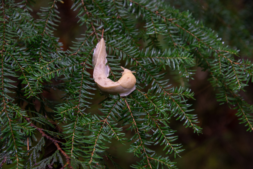 A wildlife shot along the way. So far the only wildlife I was photographing was slow moving.
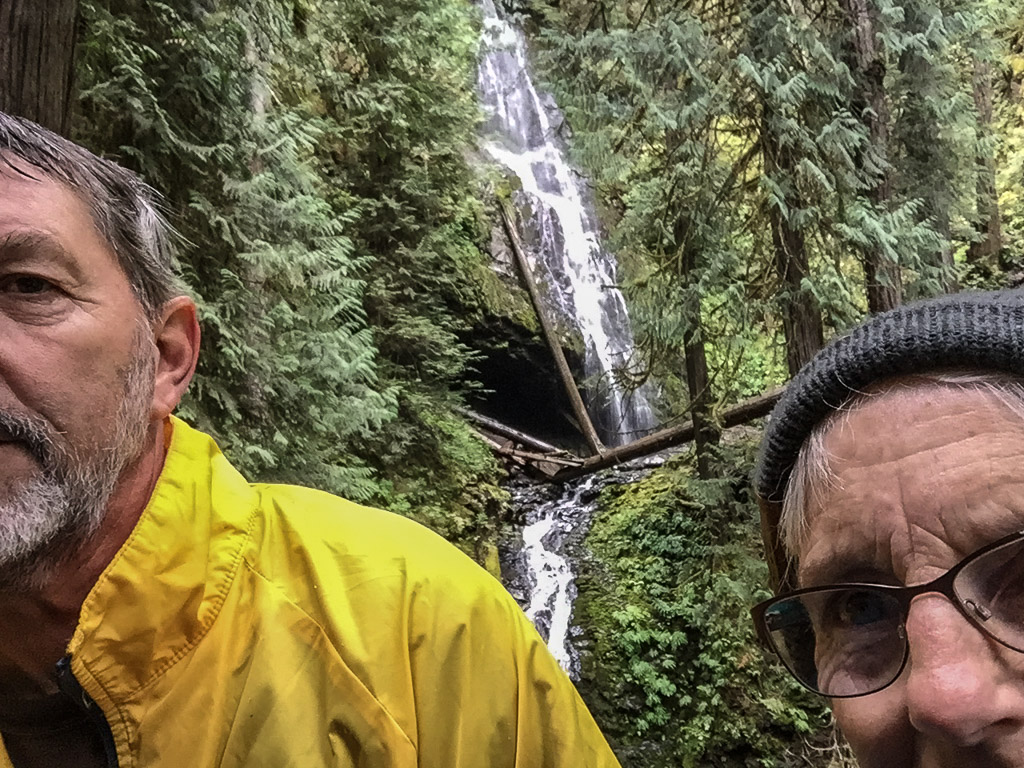 About 3/4 mile up the trail we found the falls.
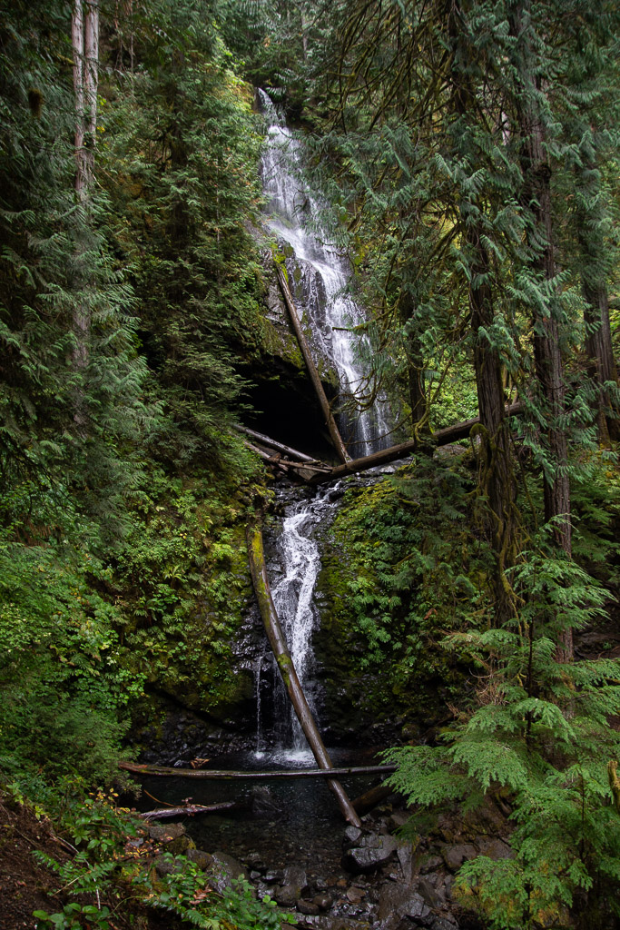 The waterfall trail guide says that this one is 120 feet with another 35 feet below this point. Photos don’t do any of the forest scenery justice.
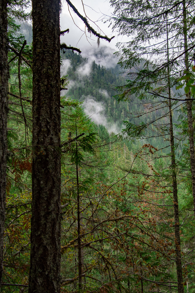 Weather continued to be damp and misty but not much real rain.
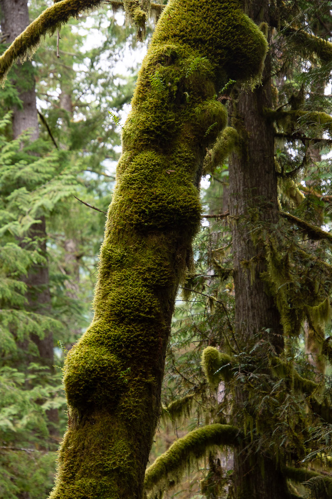 You can certainly tell that this is a wet climate as opposed to most of the places we find ourselves hiking and camping.
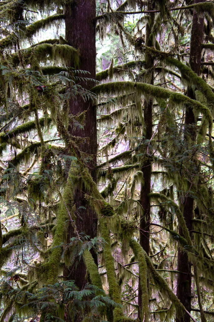
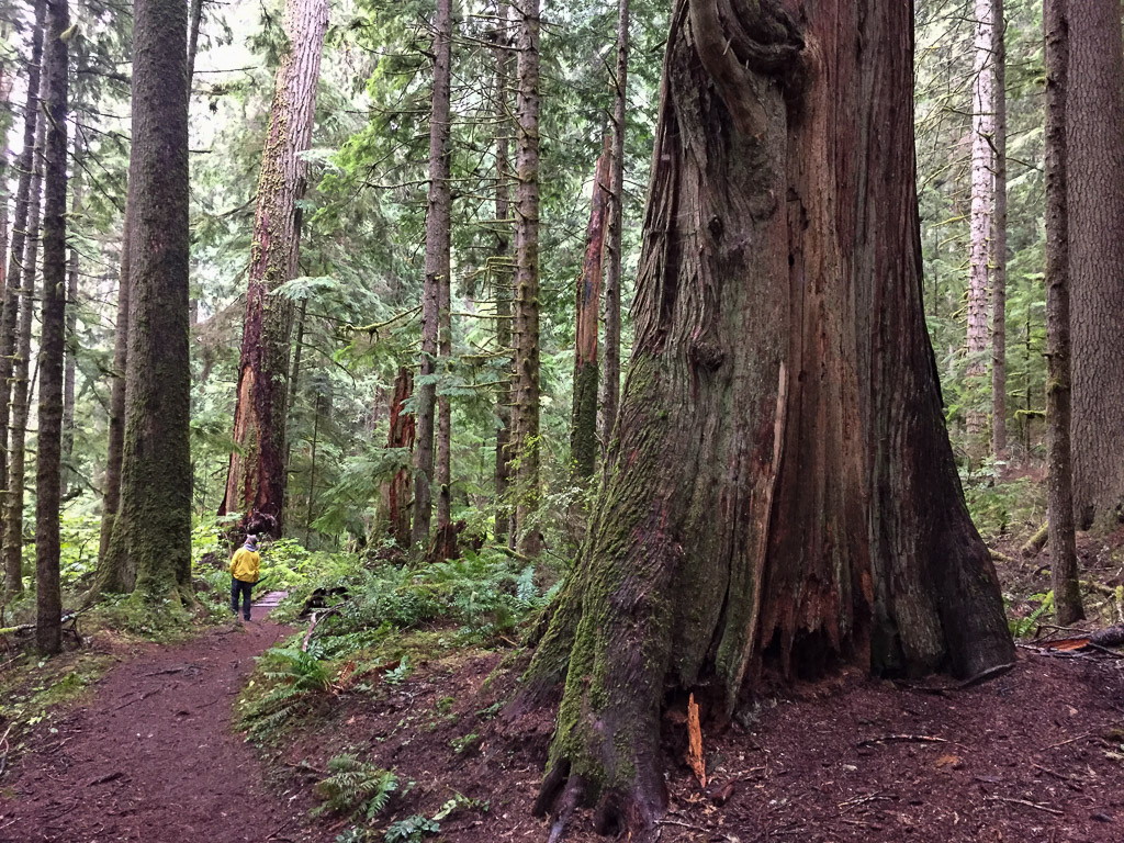 The forest was stunning. The trees were massive.
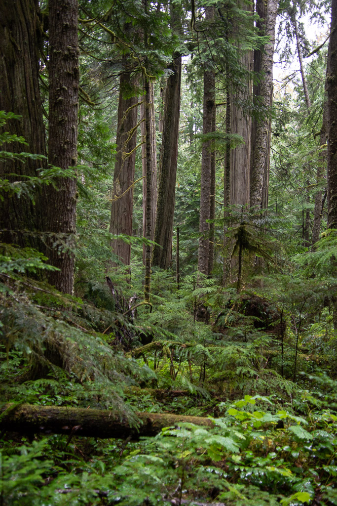 Vegetation is dense.
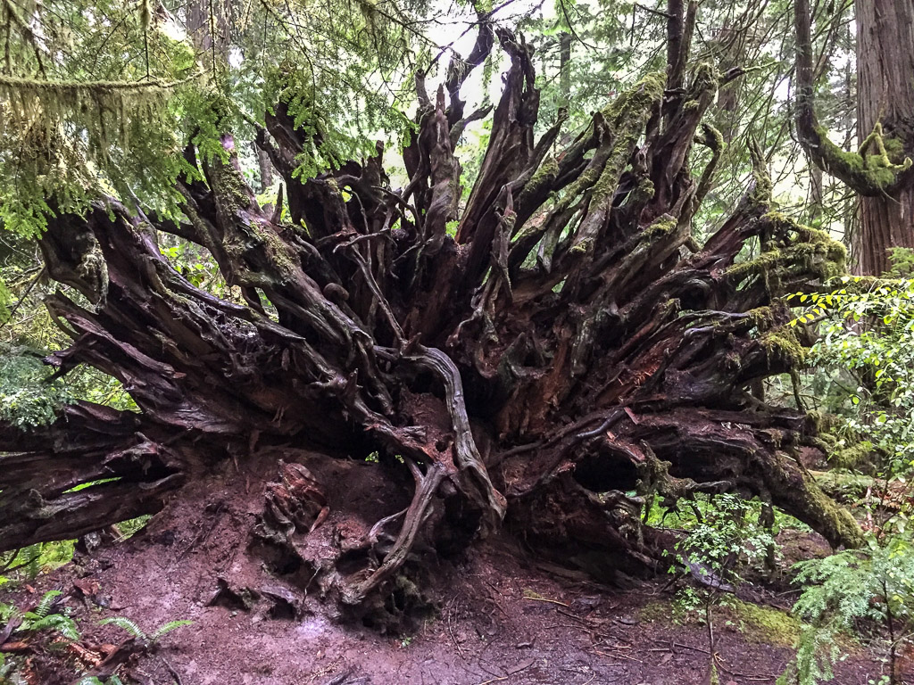 There were lots of trees down throughout this part of the forest, but it doesn’t take long before ferns and herbaceous plants are growing on the downed trees and the forest covers them over.
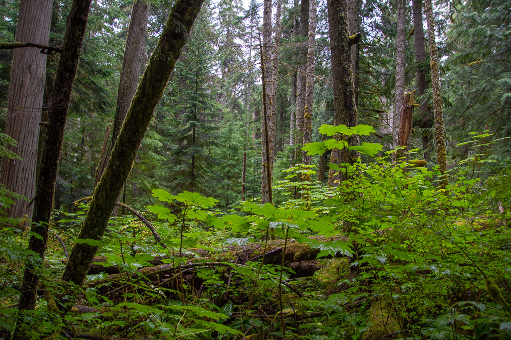
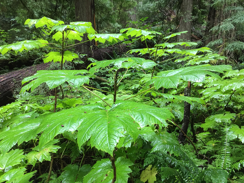 This plant with huge (up to 15″) leaves was everywhere in the understory (see the three photos above). It is called Devils Club (Oplopanax horridus) and is endemic to dense, moist, old-growth forests of the Pacific Northwest. It has a long list of uses by Native Americans from medicinals to face paint and is covered with irritating spines.
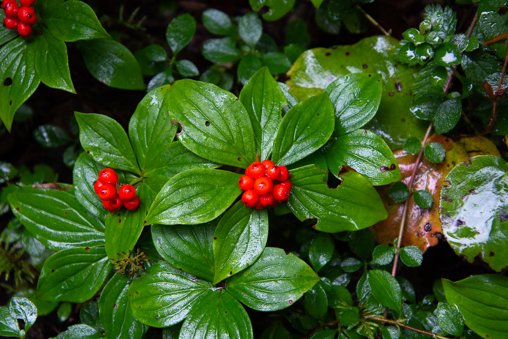 Dwarf Dogwood, Cornus candensis.
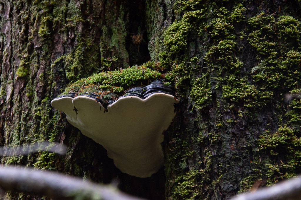
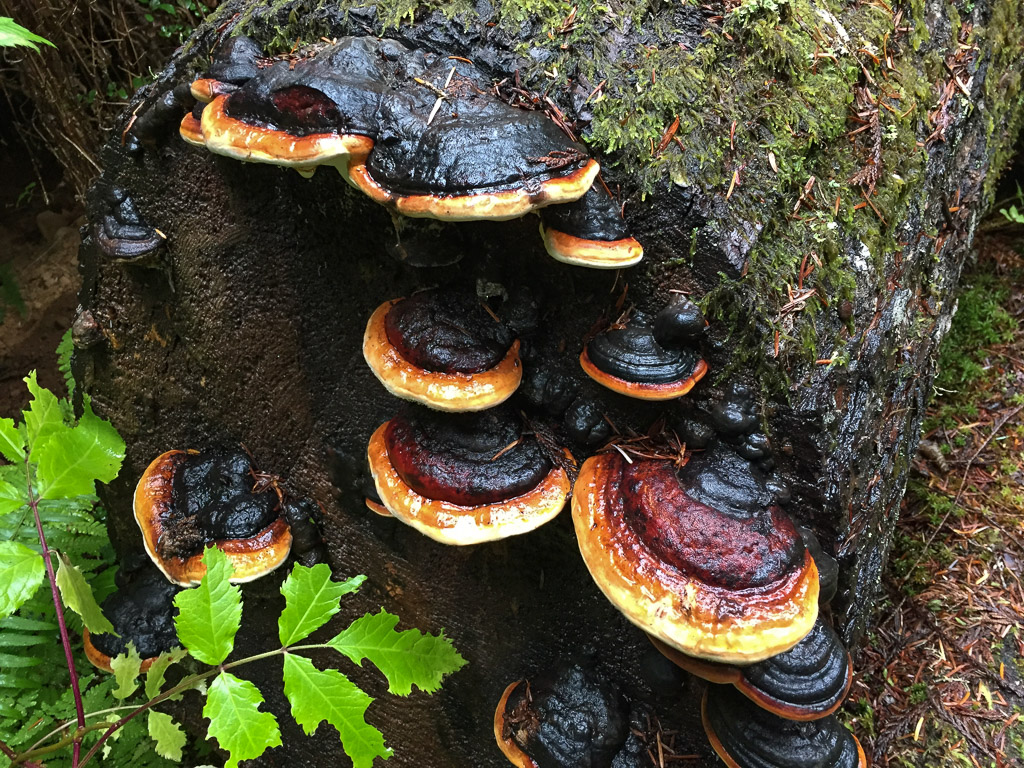
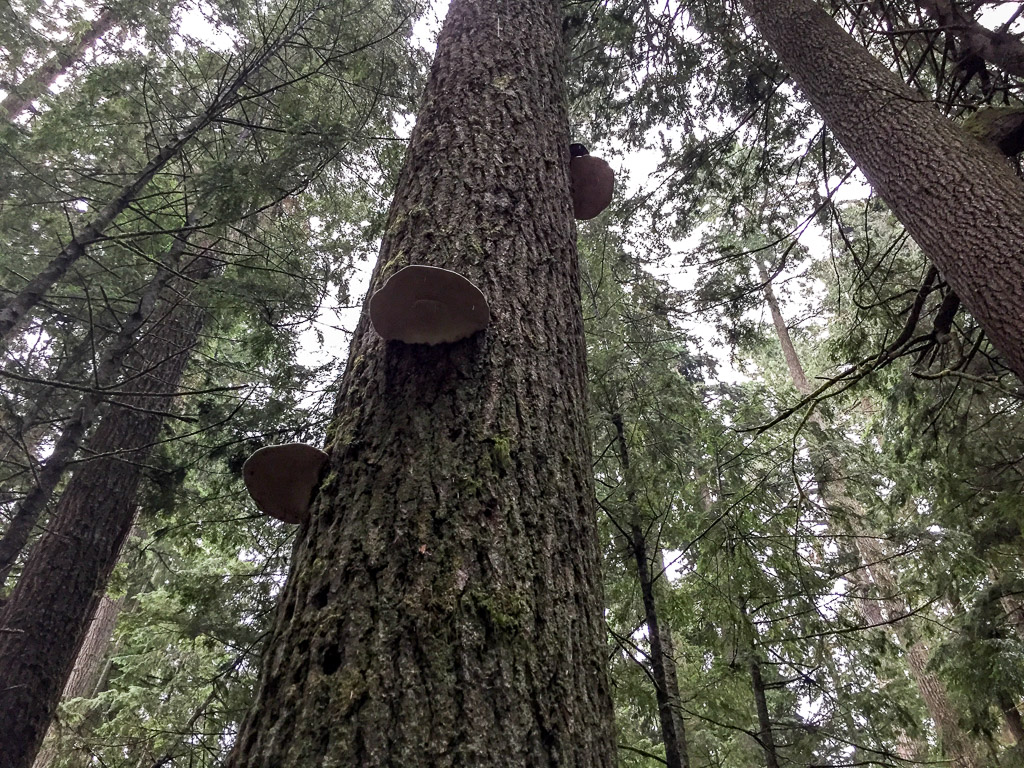
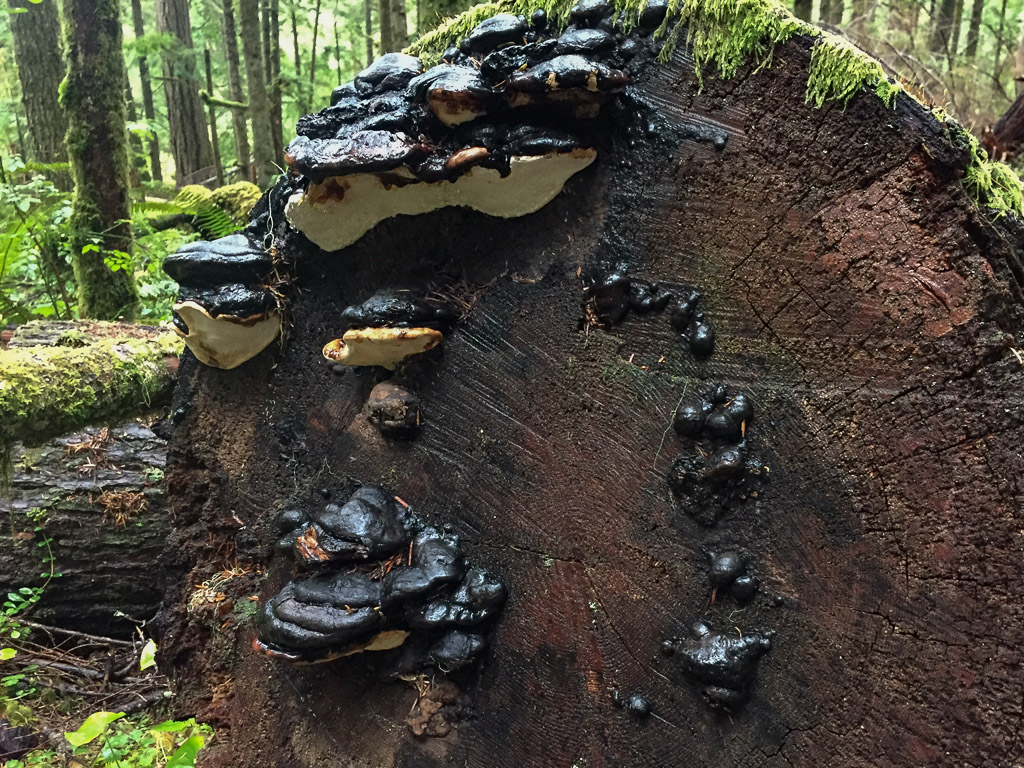 I didn’t even try to identify fungi, but took photos because I like to share these with a friend who dyes with mushrooms.
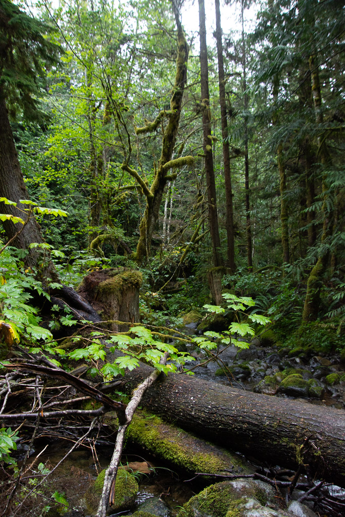 We walked until we reached the creek and were undecided how far the trail continued. But it was getting to be dusk and we decided that we’d better turn back.
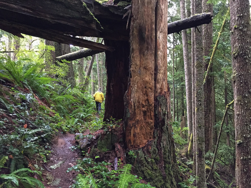 This forest would be pretty dark when the sun was down.
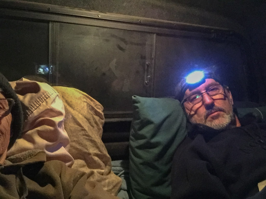 Fortunately it was warm enough with sleeping bag on top of my thick sheepskin. (Maybe it wasn’t that warm, seeing that I’m wearing my wool beanie and a sweatshirt.)
 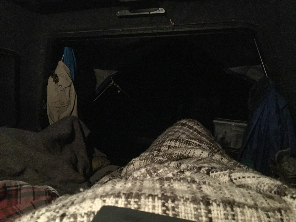 Oh, I have a wool blanket with me too (handspun Jacob by the way). This is the view out from my sleeping bag.


