This was a long day of driving. We woke up in a campground in New Mexico and ended up…well, you’ll have to get through this post to find out. There are lots of photos. We camped at Organ Mountains National Recreation Area in New Mexico.
  Leaving the campground we stopped for a couple of photos. This is prickly poppy…
 …and here is my first tarantula seen “in the wild”. It was actually on the road and Dan pulled over to point it out.
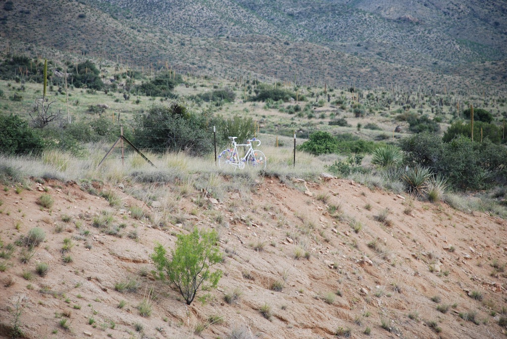 Turning back onto the main road from White Sands to Las Cruces we spotted this flower-festooned, white bike above the road. I will admit that I am annoyed by the preponderance of “memorials” along our California roads but this seemed a poignant statement.
 There was the water tank with a mural commemorating the space industry the previous day. We saw more driving back through Las Cruces.
 I googled and found that there is a website describing these murals that depict historical events in New Mexico.
 Back on Interstate 10 heading to Arizona.
 I love this giant roadrunner. I looked this up also. It’s 20 feet tall and 40 feet long and after it was constructed in 1993 “it was stationed at what was then the Las Cruces Foothills Landfill, as a kind of encouragement to creative recycling projects”. Now it is along the freeway for travelers to see.
 This is the Border Patrol Inspection Station west of Las Cruces. Can you tell what is behind those orange cones?
.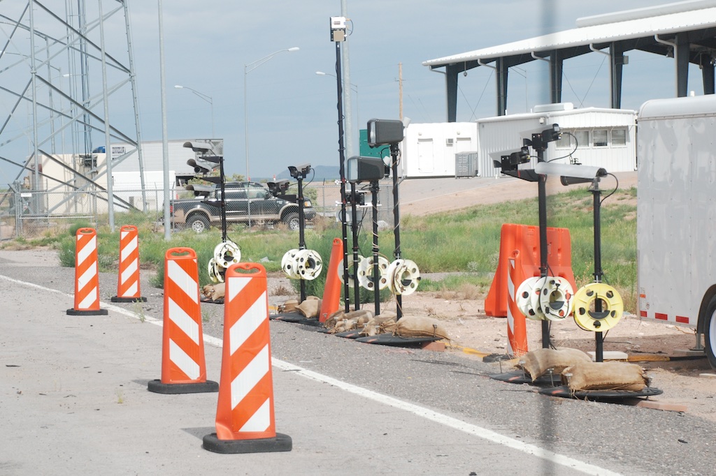 I guess the weren’t going to ask about the two Texas peaches that were still in our truck.
 You never know what you’ll see on the interstate. This truck was carrying a dismantled airplane.
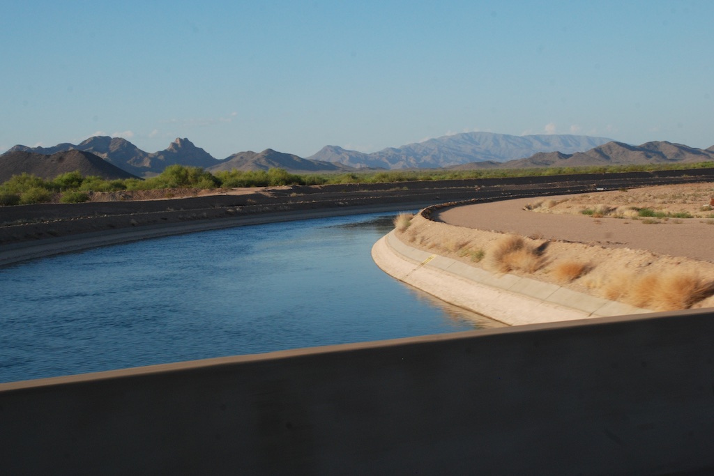 Entering the Lordsburg Playa. A playa is a “desert basin with no outlet which periodically fills with water to form a temporary lake”. No danger of dust storms today.
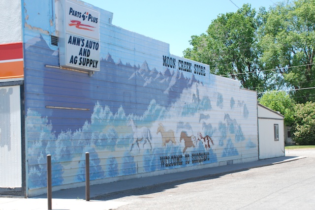
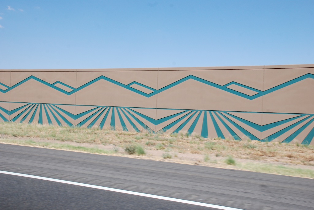
I was enamored by more Public Art in unexpected places.
Driving into Tuscon I spotted the Saguaro National Park on the map. We decided to take a couple of hours to investigate. Two hours isn’t enough to see a 91,000 acre park that is split into two halves, one on each side of Tucson, but at least we got an impression of it.
 I didn’t take many photos of saguaro because I couldn’t do them justice…
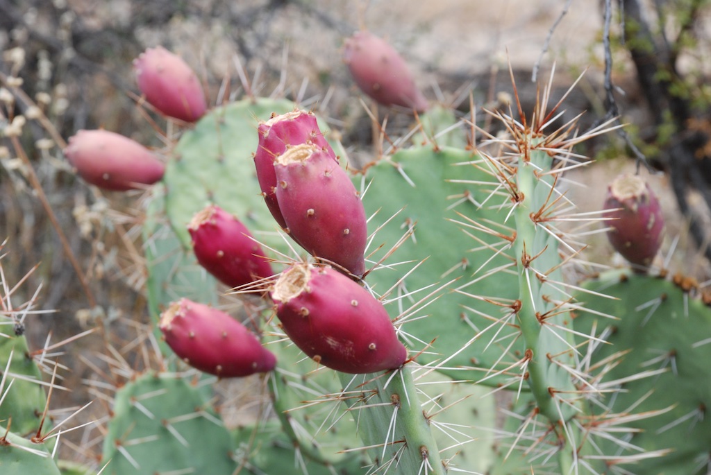 …but there were plenty of other spiny things to photograph.
 I caught a glimpse (and a photo) of this zebra-tailed lizard running away just as we got out of the truck to walk on one of the trails.
We drove the loop in the eastern section of the park and then stopped at the visitor center.
Look back at those couple of photos of saguaro and imagine how old they are. Saguaro depend on nurse trees such as palo verde or mesquite to survive the first several years. Each plant produces tens of thousands of seeds each year but very few survive to grow into mature plants.At least one herd of javelina (herd? flock? gang?) have figured out a safe and shady place to spend their afternoons. This is in back of the visitor center.On the road again.
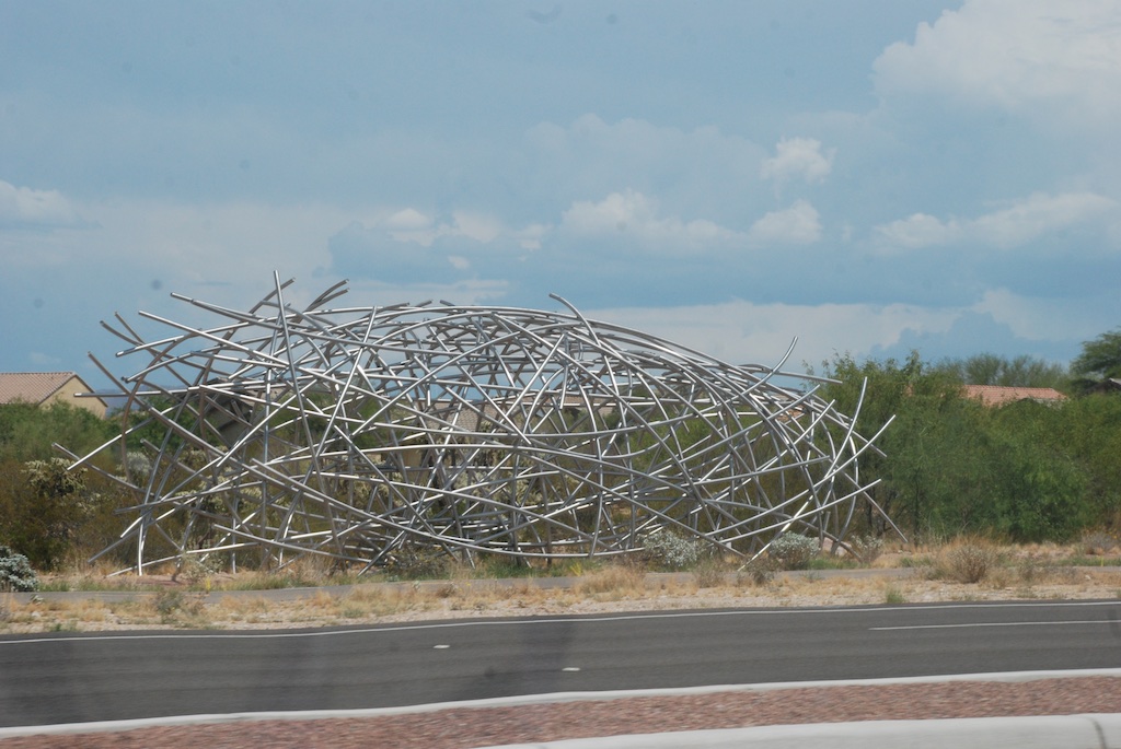 More public art? Being something of a realist, I’m not so sure about this one.
 There was plenty of art around the Phoenix area which is good because we missed the cutoff to avoid the whole metropolitan area. We hit Phoenix at rush hour (slow hours).
 West of Phoenix we crossed the Arizona Central Project Canal that diverts water from the Colorado River to central and southern Arizona. According to Wikipedia “The CAP is the largest and most expensive aqueduct system ever constructed in the United States.” I can’t help but think, what have we got ourselves into? Whether we’re talking about Arizona, Las Vegas, southern California, or Central Valley agriculture, it seems there is no going back without disastrous consequences. Our infrastructure is based on major water diversion and our population requires that these systems function. But, these are deserts, folks! Now what?…But I digress.
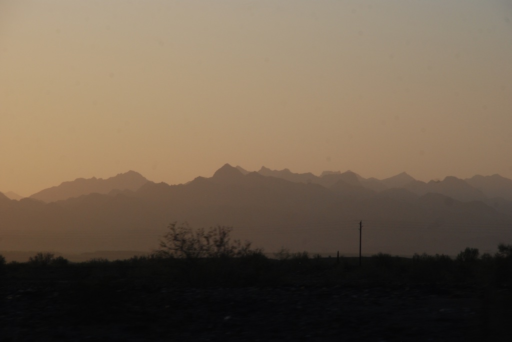
Dusk in Arizona.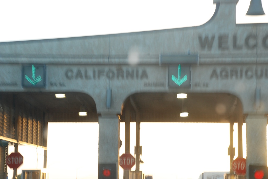 Blurry in the fading light, but I can read it.
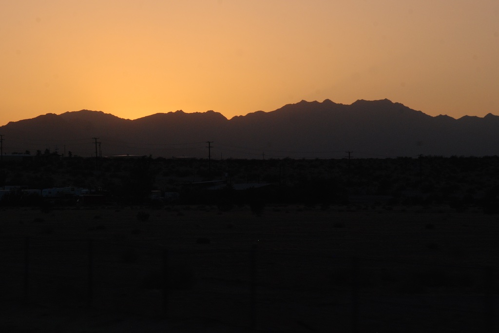 Sunset in California. Now to find our camping spot. No photos after dark so that will be for the next post.

 This is a photo of the east side of the Organ Mountains, taken as we drove past the entry sign. That is because I was actually looking for something a little different. I don’t remember what I googled but what I found on the iPhone was Organ Pipe National Monument which, yes, does have camping, and where we figured there would still be space on a weekday night in the middle of the summer. We had to drive a few miles down the road before we could turn back to the road to the campgrounds.
 Just as we had seen in northern Arizona and New Mexico everything was green. Summer monsoons are the norm, but there have been several dry years so this particularly wet year is a welcome change. However there can be too much of a good thing. We saw the signs on the Blanco River of the recent high water and were amazed at just how high it was.
  Katie and Kurtis live on high ground between Blanco and Wimberly (where the horrific May flooding swept houses and people away) so they were in no danger. This wash just down from their driveway has running water now but during the flooding was many feet higher and impassable. Hard to imagine.
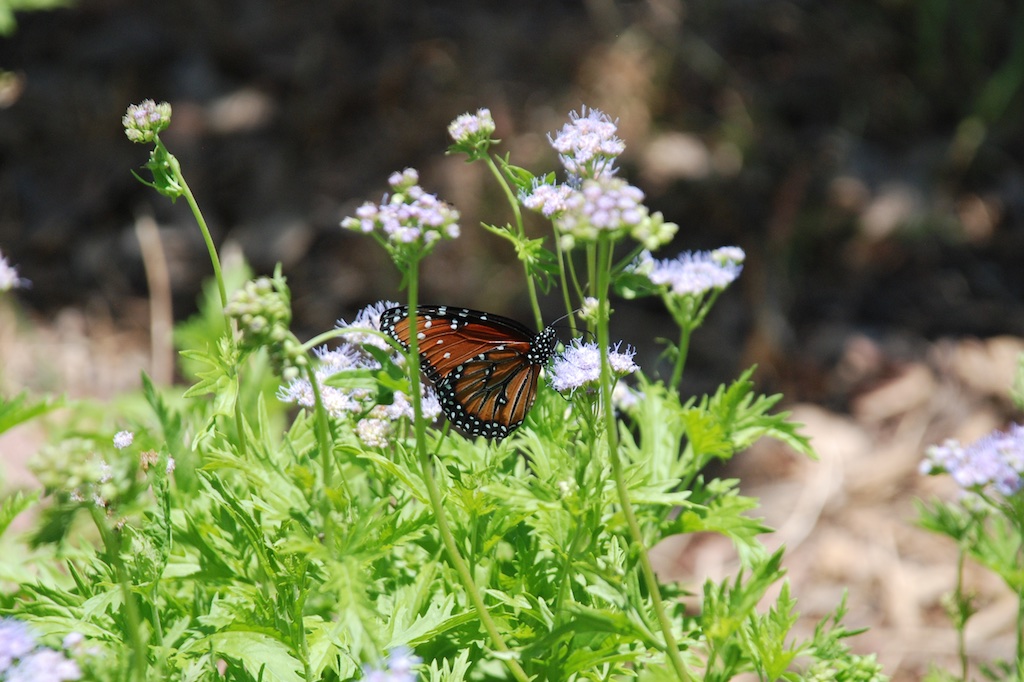
 …the rams…


 First we stopped at Katie’s office and went to lunch with her co-workers. Then we drove to San Antonio.
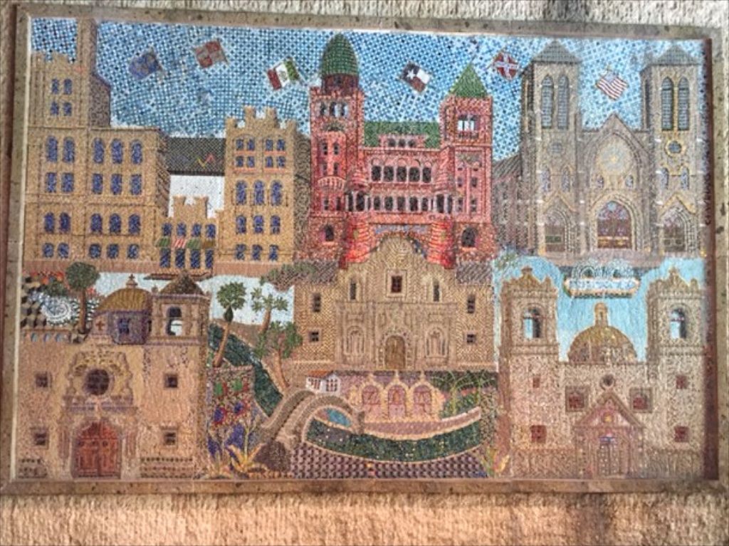
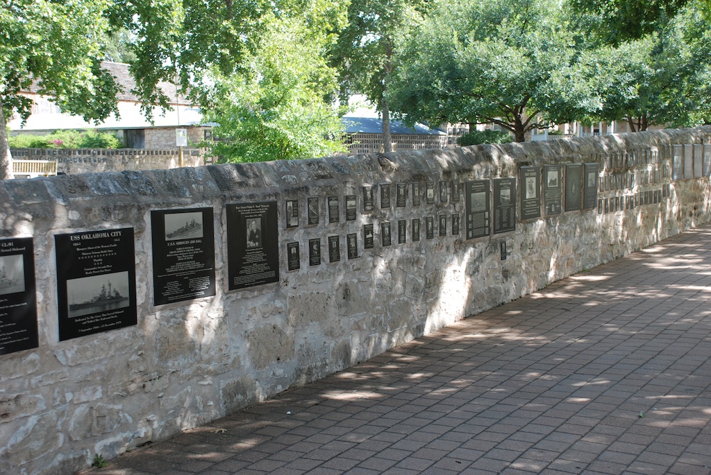
 The Alamo site is an interesting juxtaposition of the old and the new. The lower stone wall surrounds the Mission grounds.
 The Alamo site encompasses a block in downtown San Antonio with newer buildings rising around it.

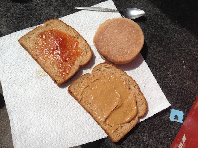
 After a long drive and a lot of walking around in the heat what better way to end the day?


 I don’t have many photos. I snapped several from the moving truck, but although some of the scenery ones are passable, it was hard to get much in town when driving through.
 I must say that the iPhone has given me a new way to travel. We like our big map books with one book for each state. I kept that open on my lap but I continued to look up towns we passed or things listed on the map that weren’t there anymore. We garnered a lot of history that way.
  This photo doesn’t look especially green because the field has just been baled but there is a bumper crop of hay.


 According to the sign we were standing on the rim of a collapsed super-volcano, 12 miles in diameter and magma is only 5 miles beneath.
 We had been lucky with the weather the whole day. Other than the previous night we hadn’t been rained on. But we could watch the weather while we were driving. There is lots of flat landscape on the drive through central New Mexico, but I am just glad to see that there is so much unpopulated land in our fabulous country. The tune “wide open spaces” continued to run through my head (as did “standing on the corner…” from yesterday).
 Another train view but this is a train made up of a dozen engines. We saw this the previous day also. Mulitple engines are used to pull (and push?) trains up the long grades and I guess they send those engines back to be ready for the next train. Many hours of driving later and about dusk we got to Roswell,


 After stowing our gear we set off north to see what the town of Kelso looked like. Have you ever seen a sign with a flashing light that cautions you to watch for tortoises? I never had and I wish I had stopped for a photo. It was one of those things that I thought I’d do on the way back but we ended up making a loop through the preserve.