Cape Disappointment: ‘The first known documentation of the site was in 1775 by Spanish explorer Bruno Heceta, who named it “Bahia de La Asuncion,” or Bay of the Assumption. Then in 1788, British trader John Meares named it “Cape Disappointment” when he mistakenly believed that the mouth of the Columbia River was only a bay. ” (from the Park Service)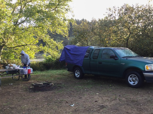 Yesterday’s blog left off at Cape Disappointment State Park. Here is the campsite the next morning.
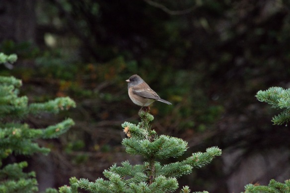
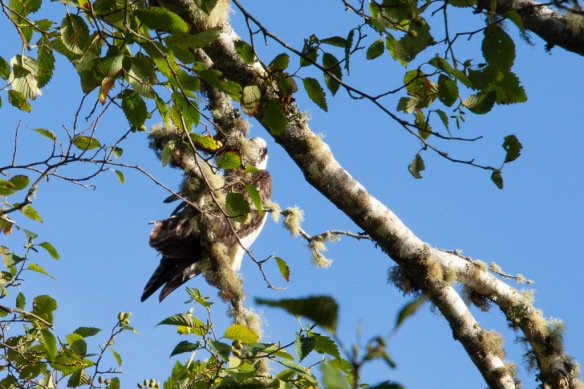 There is a small lake just behind the campsite and in the morning I heard this osprey. I watched quite awhile trying to get a better photo. Eventually he (she) spotted fish and I watched him dive three times, always coming back to watch from this tree. I was surprised at his loud splashdown.
 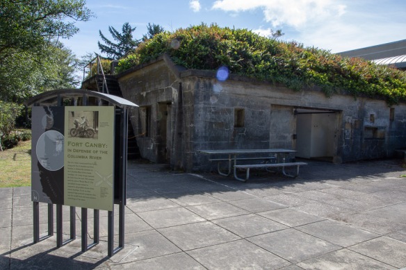 We drove over to the Interpretive Center of the Park. Outside the Lewis & Clark Center is the old Fort Canby, built to defend the entrance to the Columbia River and manned by U.S. Army troops from the mid-19th century through the end of WWII.
 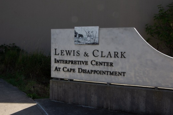 We spent a couple of hours here and I highly recommend it. Dan had recently read a book about Lewis & Clark so the details of their story was fresh in his mind. I didn’t take photos inside except for this that reminds me of something that looks like it might belong in a weaving studio:
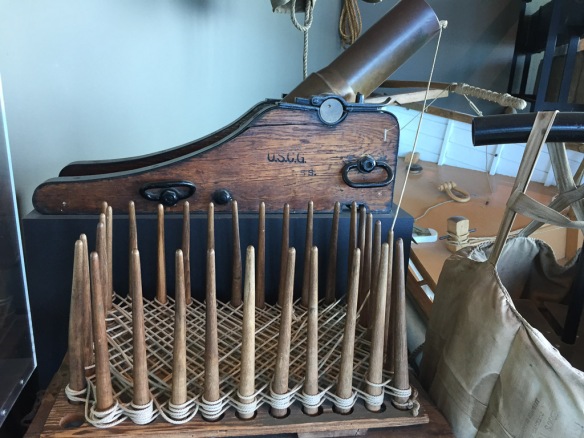 This is a faking box and the thing behind it is a Lyle gun. The sign says “Propelled by a black powder charge the gun propelled a rescue line (hawser) to troubled vessels…The spiked posts were used to wind a rescue line in a special zig zag pattern to prevent tangling in flight when fired from a Lyle gun.” There were also paddles. “These paddles with detailed instructions in English and French were sent by rescue line to shipwreck victims.”I think it’s interesting that there was a special way of winding the line so that it would not tangle.
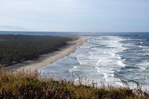 After spending a couple of hours at the Interpretive Center we went to see the second lighthouse in the Park. This view is from the trail to that lighthouse. We are now looking south to the breakwater on the north and can see the one on the south as well. The Columbia River entrance is between the breakwaters.
 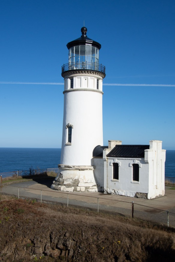 This is North Head Lighthouse, built 42 years after the Cape Disappointment Lighthouse was constructed because there were still too many shipwrecks in this area. It is still in service with an automated beacon. I didn’t realize that each lighthouse has a unique pattern of sound and light to aid in navigation, as well as being distinguished by the color and pattern of paint. (This one is under renovation.)
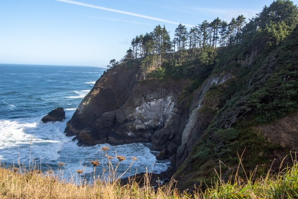 North Head is said to be one of the windiest locations in the U.S. This is the view of the rocky coastline from the north side of the lighthouse.
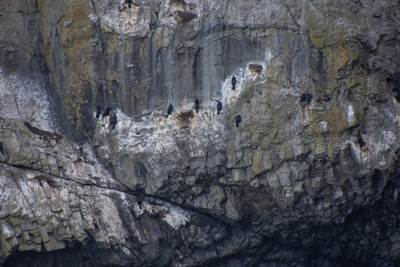 If you look closely at the rocky cliff you see cormorants–somehow gripping the steep rocky wall with amazingly little room to maneuver.
 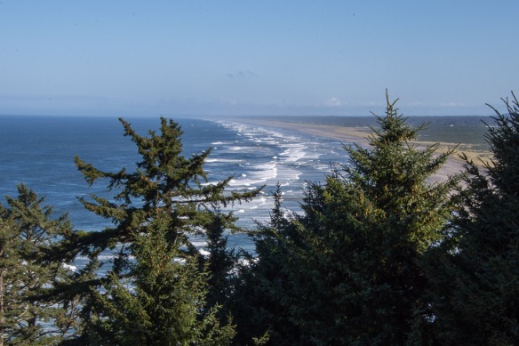 The beach stretches for miles just beyond this rocky point.
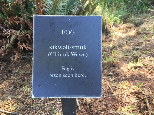 Sign in the forest on the trail that overlooks the beach. The area gets seven feet of rain per year, falling in the fall, winter, and spring. However, during the summer there is fog. Cape Disappointment is one of the foggiest places in the U.S. having 100 days of fog each year.
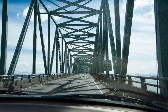 The plan for the day was to get to southern Oregon so that we wouldn’t have as long a drive the following day. It was time to get on the road. This is the bridge over the Columbia River.
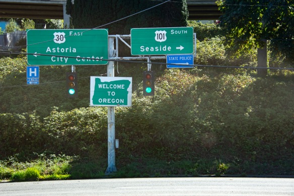 Now to find the another part of the Lewis and Clark story near Astoria.
 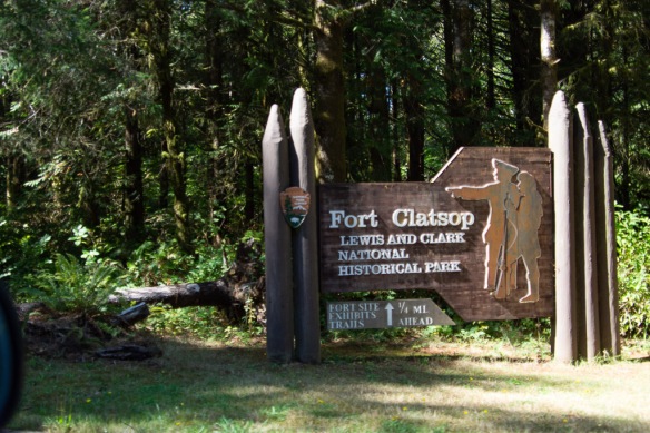 We walked around the Fort and along a trail the followed the river, but we didn’t spent a lot of time here, having had such a thorough look at the L&C story that morning.
 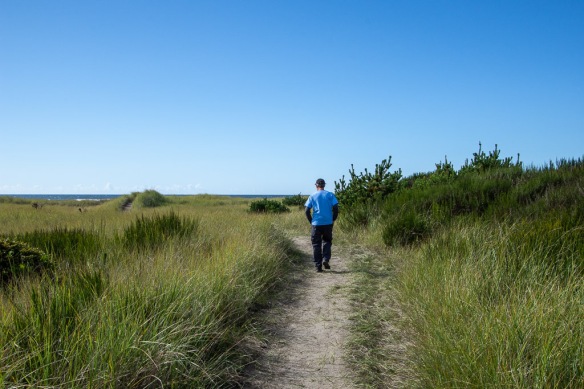 We read about another historic site in the town of Seaside. Before we found the site we walked to the beach.
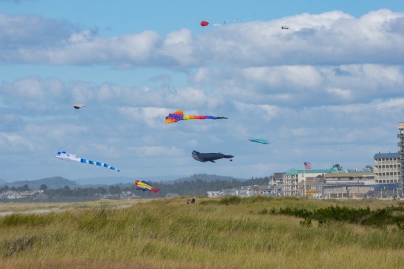 Looking north.
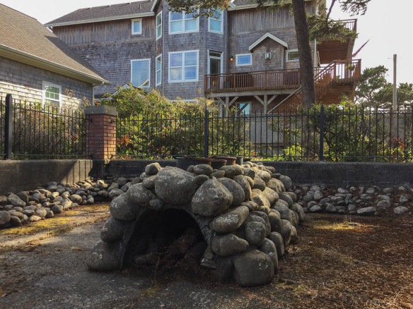 Eventually we found the Lewis & Clark NHP Saltworks, a small fenced area right in the middle of a neighborhood. The expedition had run out of salt and needed more before making the journey home. Three men from the expedition spent six weeks here boiling seawater to secure the salt.
Now we got on the road. I read that the Tillamook Cheese Factory was open to the public and I wanted to stop.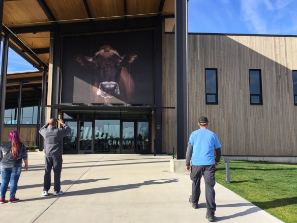 This is an amazing place. It must be just swarming with people during the summer.
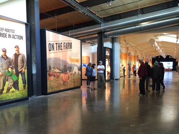 You enter the factory and go upstairs to follow the hoofprints for a self-guided tour.


There is good signage to explain all the equipment and processes that you see. The tour ends at the cheese tasting area and of course a huge gift store.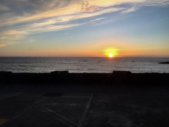 After the tour we got back in the truck and drove. We found a beachside (and highway-side) campground just after dark.
 Here is the view from my sleeping bag the next morning.
 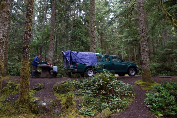 Later we wondered why we didn’t buy a bigger tarp since then we could have covered the whole camper, although I wouldn’t have liked not seeing out the side window. As it is there is some leakage around where the camper joins the truck bed and we had to make sure that our sleeping bags, clothes, etc didn’t touch the edges or they’d soak up water.
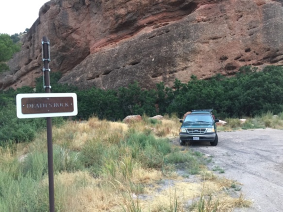
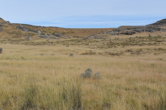
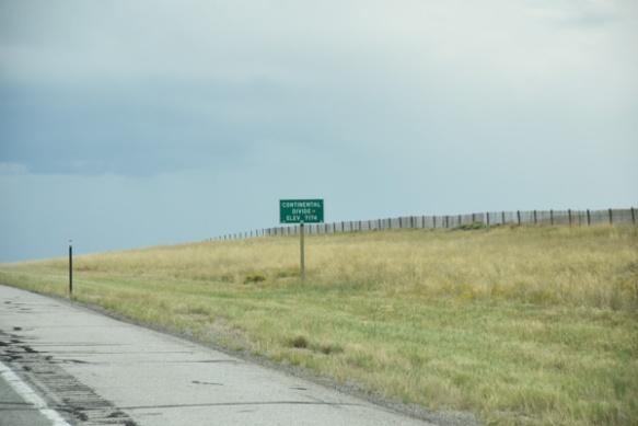
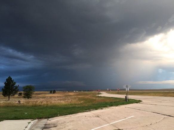
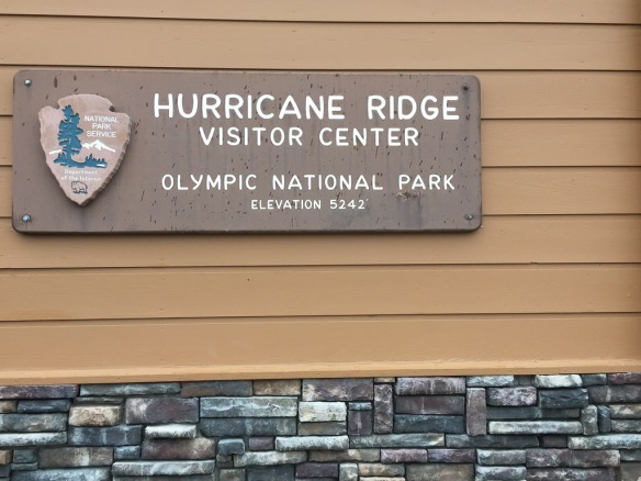 The name was a clue to the weather on the ridge.
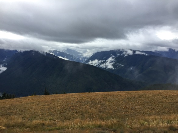 It was a wee bit
 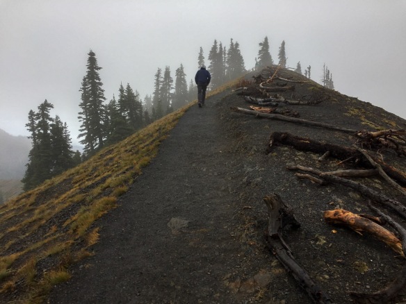 There is a trail from the Visitor Center to the top of the nearby ridge.
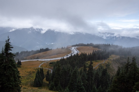 View looking down on the Visitor Center and Mt. Olympus in the clouds.
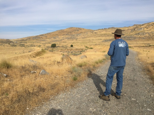
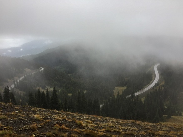 View to the other direction and the road to the Visitor Center.
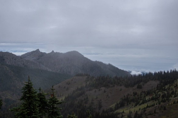 Walking along the ridge we tried to get a view of Canada. It’s out there across the Strait of Juan de Fuca, but mostly in the clouds.
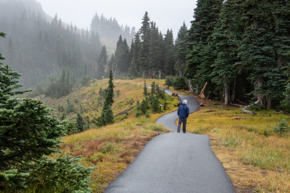 More views along the trail.
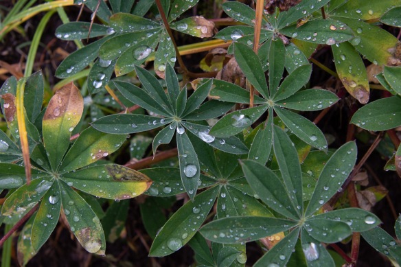
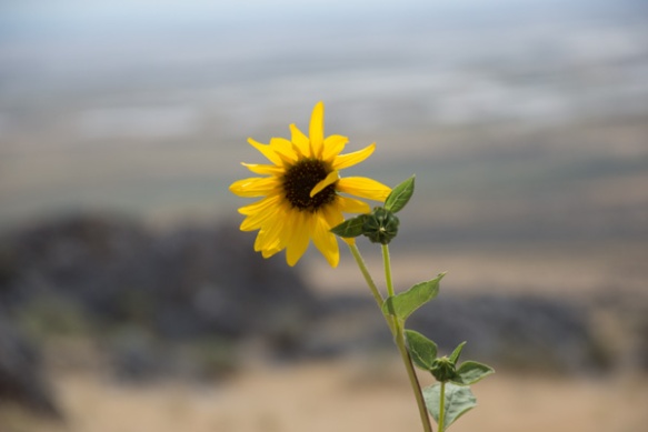
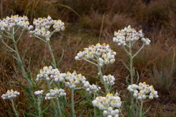 I admired these flowers blooming so late in the season. They are in the sunflower family: Pearly Everlasting.
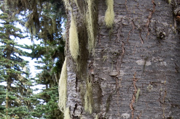 Goat’s Beard lichen.
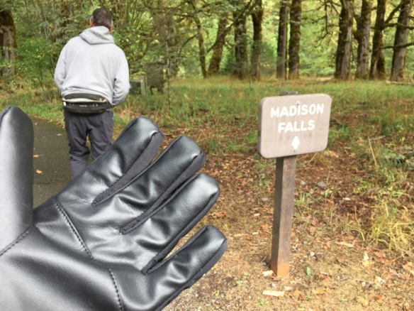 We both bought gloves. Next stop was Madison Falls at the edge of the Park near another road that follows the Elwha River.
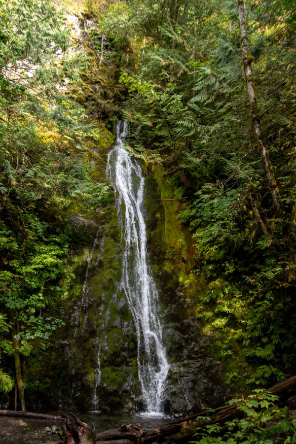 It is a short walk on a paved trail to see the falls.
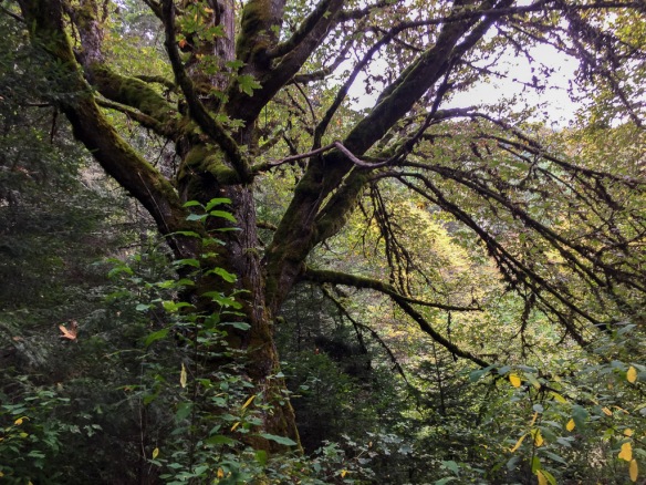
 At this point we were thinking about where we would stay that night. As on all of our trips there is always more to see than we have time for. This was Saturday and we needed to get home on Tuesday. That left Sunday and Monday for more time in the park with a long drive on Tuesday. The bulk of the Park takes up the northern part of the Olympic Peninsula but there is also private and tribal land along the northern coast, the far northwest corner of the state, and the western portion. I wanted to go to that farthest most point of the continental U.S. but we were going to run out of time to do that and spend time in the rainforest. There is a narrow sliver of land all along the Pacific coastline that is also part of the Olympic NP so we decided that we would camp there for the night. That decided, we stopped at the next waterfall on our Waterfall Map.
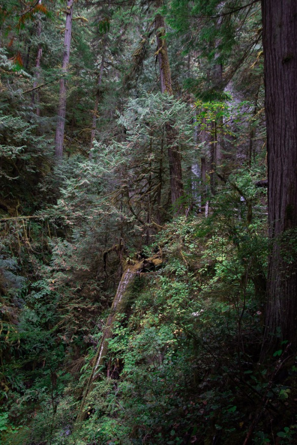 The trail to Marymere Falls was also within the Park.
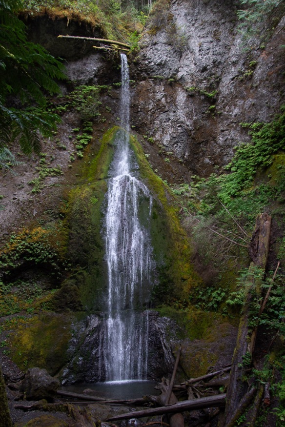 This waterfall is on Falls Creek and drops 90 feet. Take a look at the log at the top of the falls.
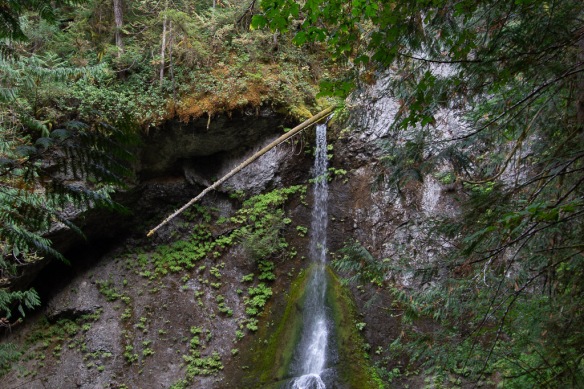 It made me think about the amount of water that must flow in this creek at times. That is a whole tree that is stuck at the top.
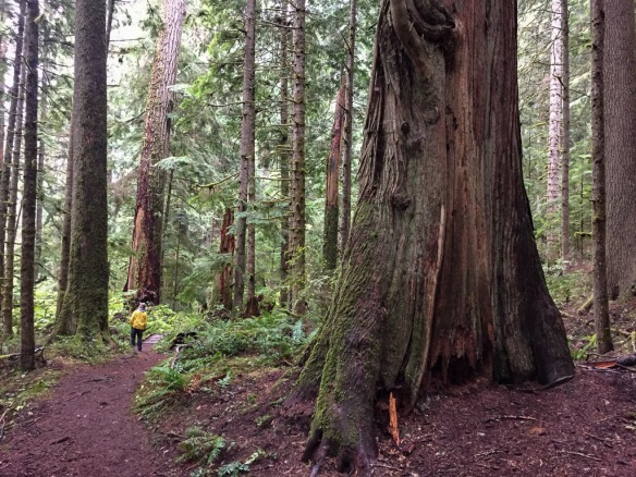
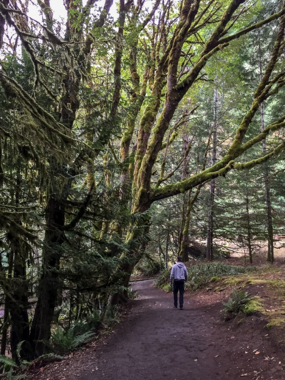 Magnificent trees.
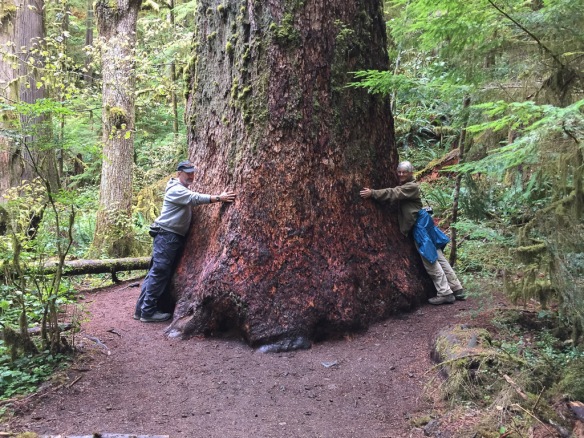 We were walking by this tree and I saw a young woman trying to prop her phone on the ground so that she and her friend could both be in a photo of this huge tree. I offered to take the photo and then she reciprocated.
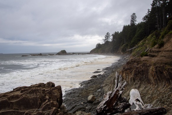 This was the first beach where we stopped. We drove south to find that the first campground was full. There was plenty of space in the other campgrounds where we stayed so we hadn’t anticipated this. The beach. RV camping. Saturday night. None of the four beach campgrounds had campsites left.
 Saturday night lodging.
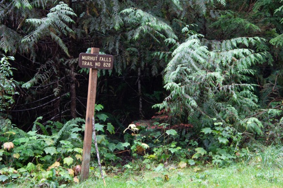 Our first waterfall on the trail, and before getting to the park, was Murhut Falls on the Duckabush River.
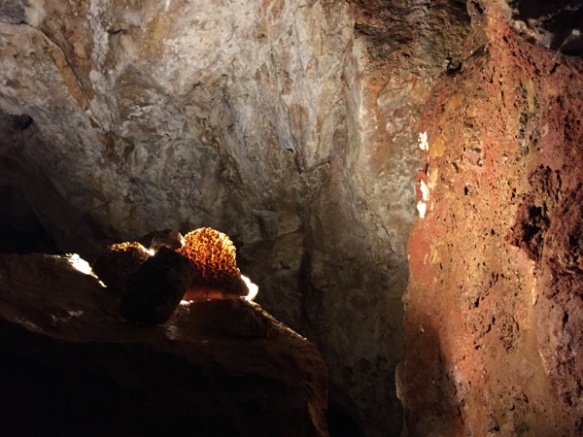
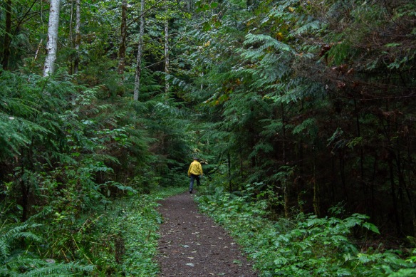 I first wondered about the name of the river. You have to duck under bushes if you don’t have a ready made trail? No, in a side trip to Google I found that it is an Indian word meaning red face, referring to reddish bluffs in the area.
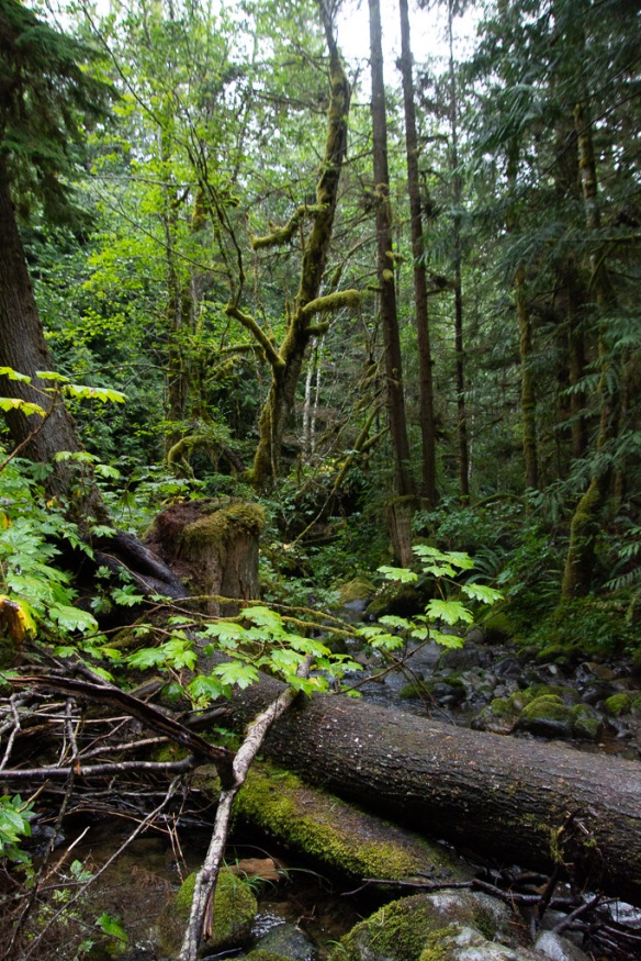
 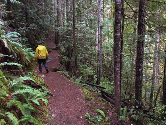 As we found in all our wanderings in this area, the forest is dense, damp, and spectacular.
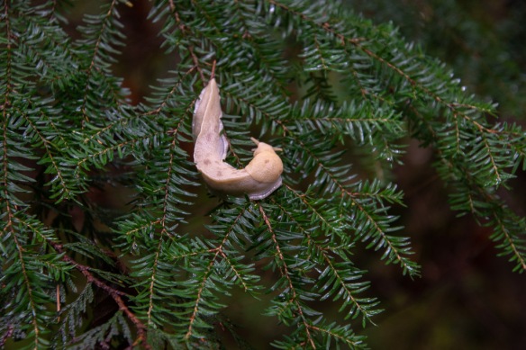 A wildlife shot along the way. So far the only wildlife I was photographing was slow moving.
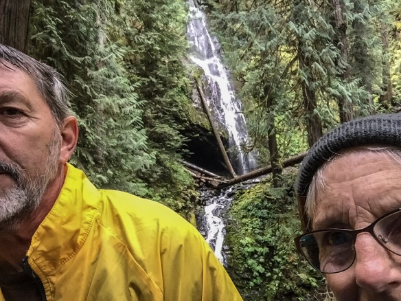 About 3/4 mile up the trail we found the falls.
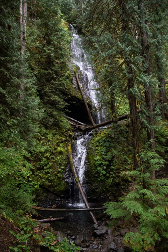 The waterfall trail guide says that this one is 120 feet with another 35 feet below this point. Photos don’t do any of the forest scenery justice.
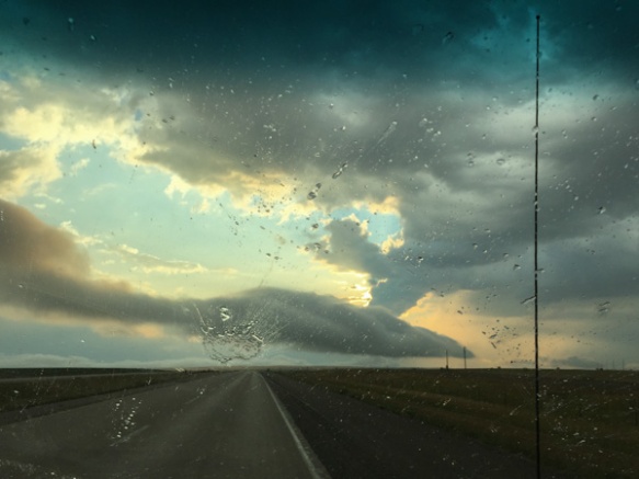
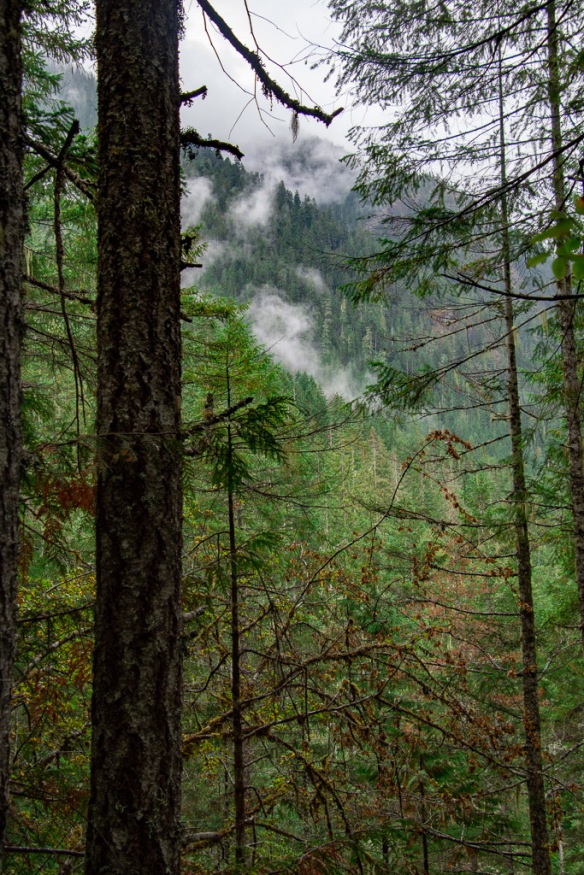 Weather continued to be damp and misty but not much real rain.
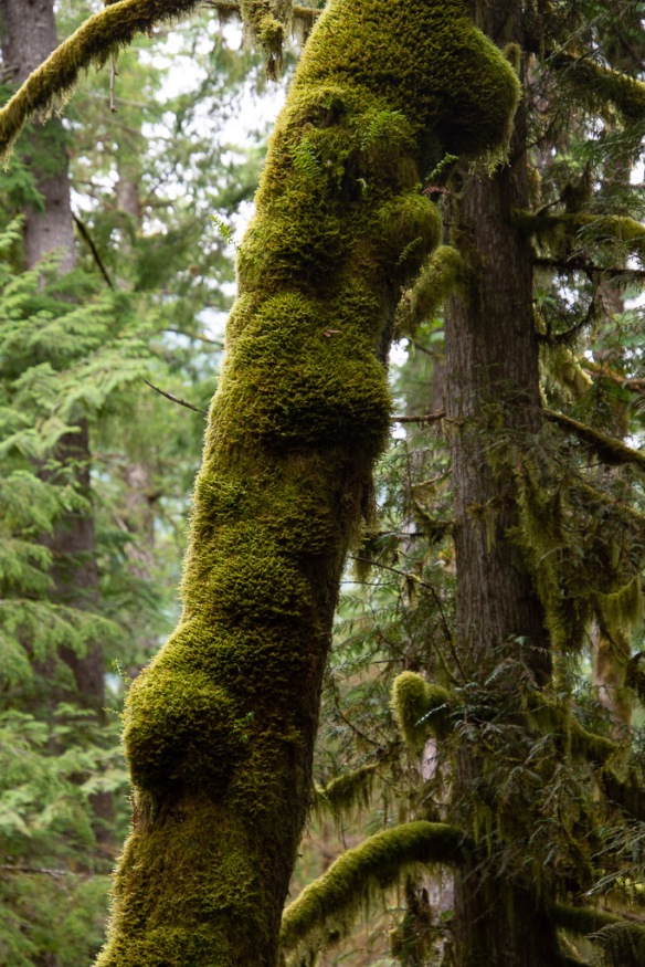 You can certainly tell that this is a wet climate as opposed to most of the places we find ourselves hiking and camping.
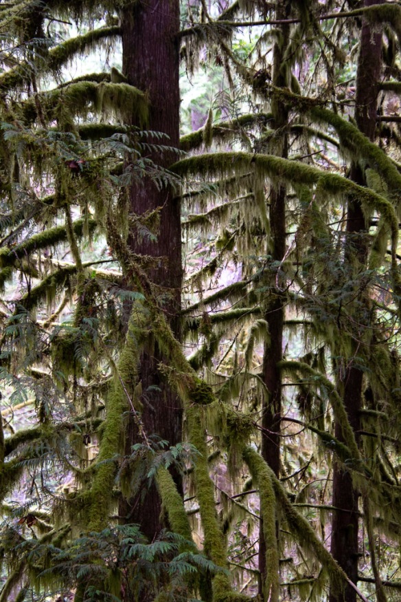
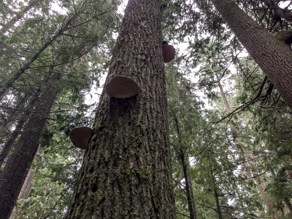
 The forest was stunning. The trees were massive.
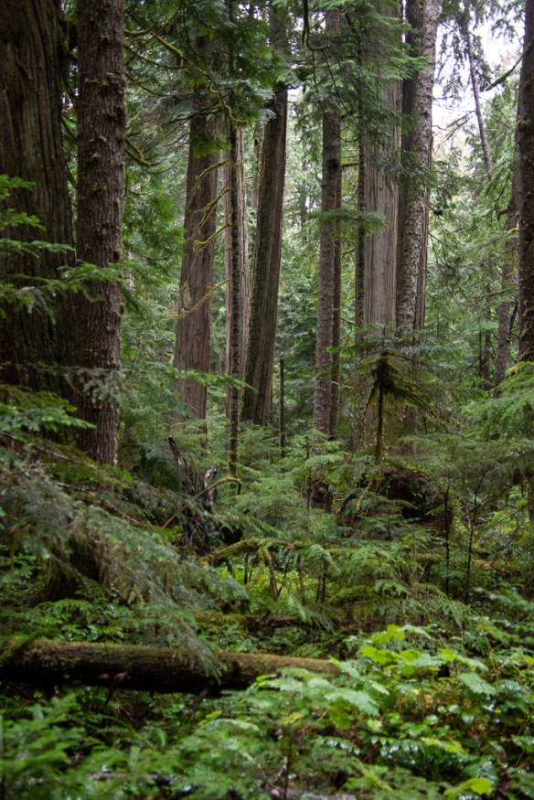 Vegetation is dense.
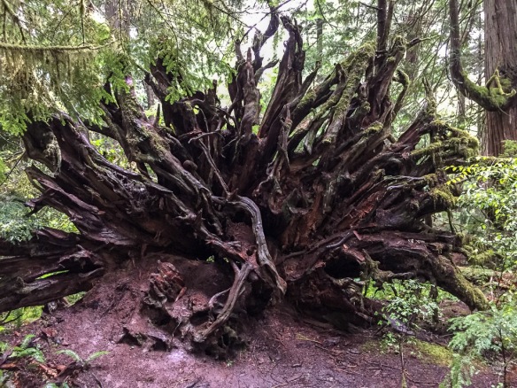 There were lots of trees down throughout this part of the forest, but it doesn’t take long before ferns and herbaceous plants are growing on the downed trees and the forest covers them over.
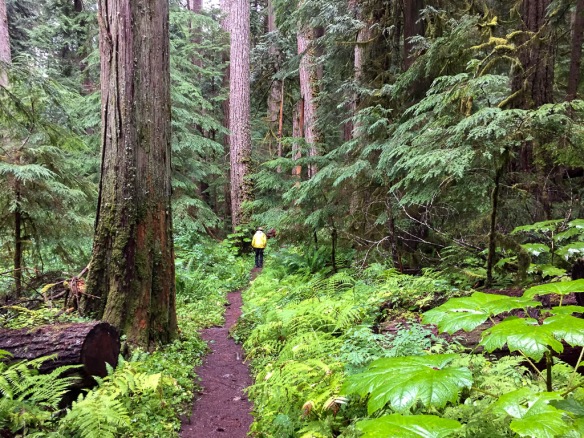
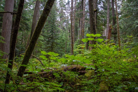
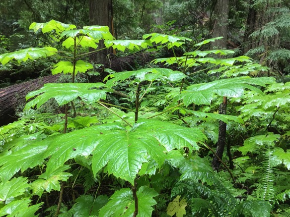 This plant with huge (up to 15″) leaves was everywhere in the understory (see the three photos above). It is called Devils Club (Oplopanax horridus) and is endemic to dense, moist, old-growth forests of the Pacific Northwest. It has a long list of uses by Native Americans from medicinals to face paint and is covered with irritating spines.
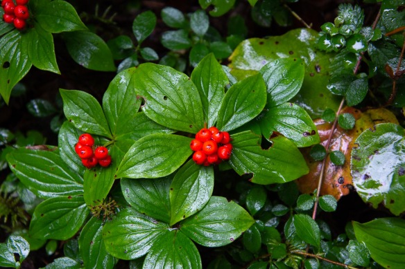 Dwarf Dogwood, Cornus candensis.
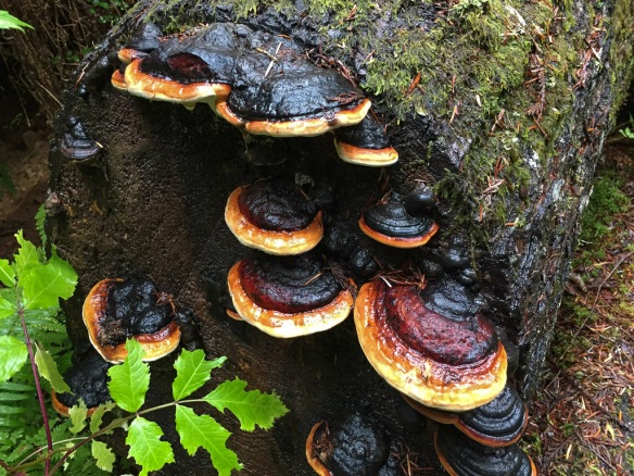
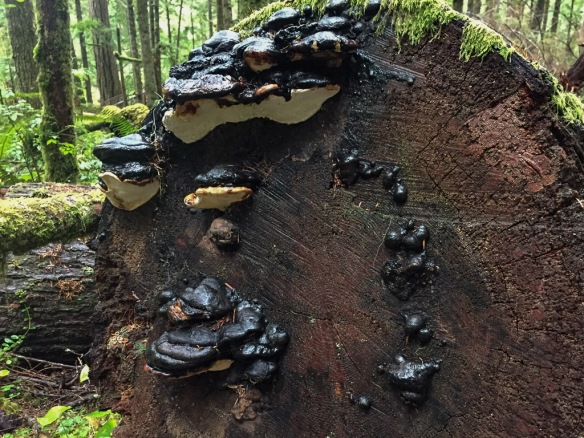 I didn’t even try to identify fungi, but took photos because I like to share these with a friend who dyes with mushrooms.
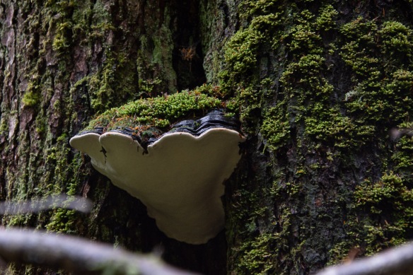
 We walked until we reached the creek and were undecided how far the trail continued. But it was getting to be dusk and we decided that we’d better turn back.
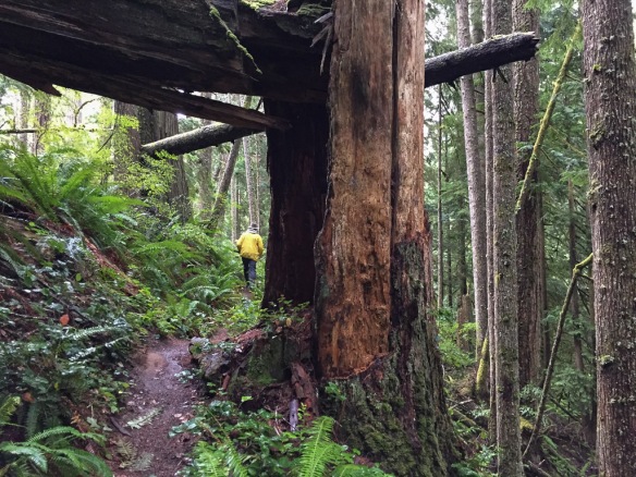 This forest would be pretty dark when the sun was down.
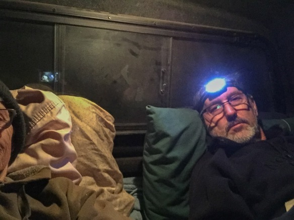 Fortunately it was warm enough with sleeping bag on top of my thick sheepskin. (Maybe it wasn’t that warm, seeing that I’m wearing my wool beanie and a sweatshirt.)
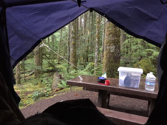
 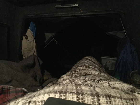 Oh, I have a wool blanket with me too (handspun Jacob by the way). This is the view out from my sleeping bag.
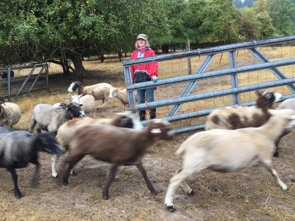 Karen lets the ewes out into the pasture where some of them race to see who will be first to find the pears that may have dropped since the day before.
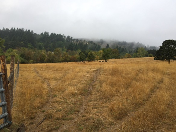 Some sheep stayed behind but this group checked out the pear snack department and then traipsed back to the barn for the morning hay.
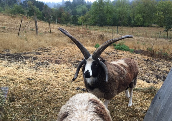 Nearby we met Windy Acres Lightning, who happens to be Buster’s sire.
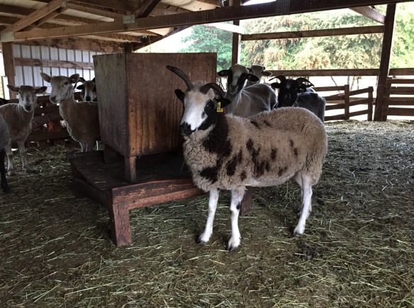 This is inside the barn. There are a couple of Meridian ewes here but I don’t think this is one because she has a bideawee ear tag. I like these feeders and think that we should try making some.
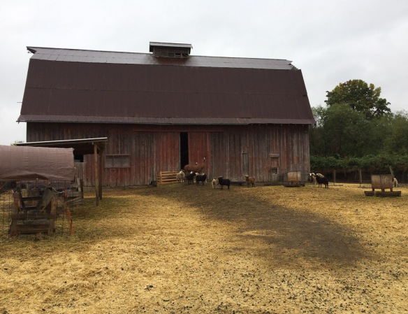 This is another barn on the property. Those are some of the ewe lambs and their guard llama.
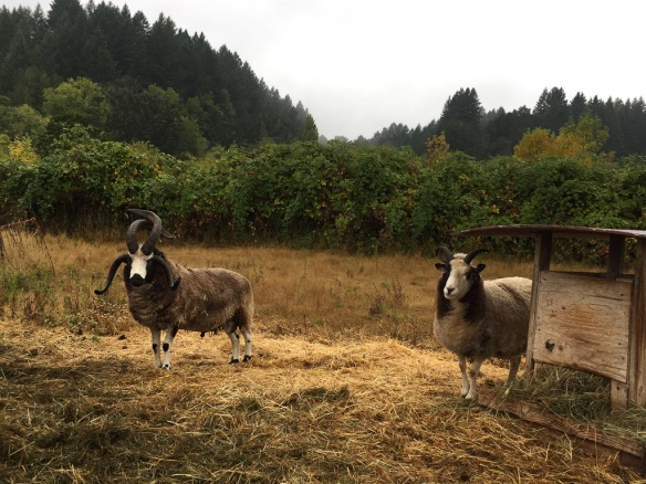 Across the road (the property is split into 4 pieces by the country roads) there are more rams. This is Hunters Glen Roy Rogers and his wether buddy. I sure which that I could get some of these horns like Lightning and Roy Rogers on my sheep.
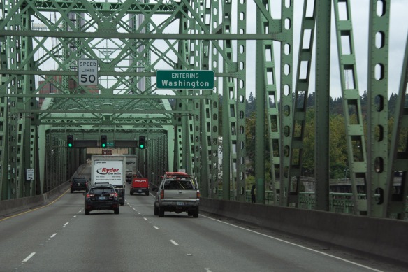 After breakfast we got on the road to our real destination.
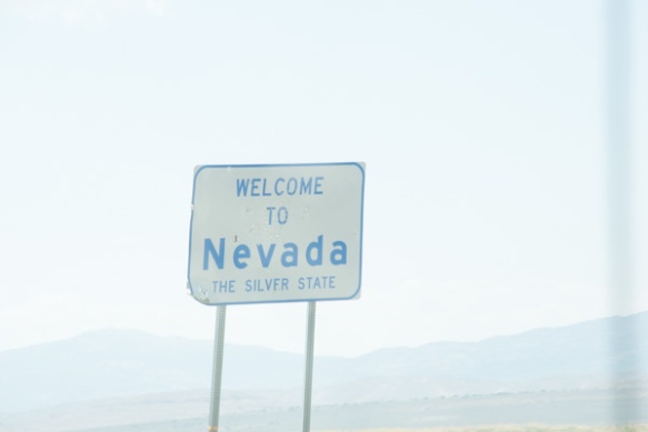
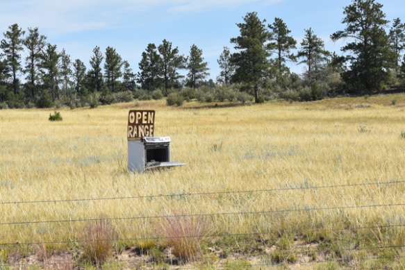
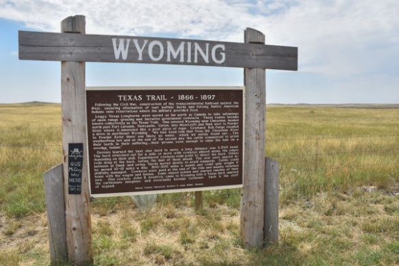
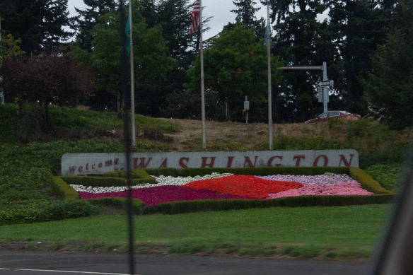 Here is a more welcoming sign along with pretty flowers.
 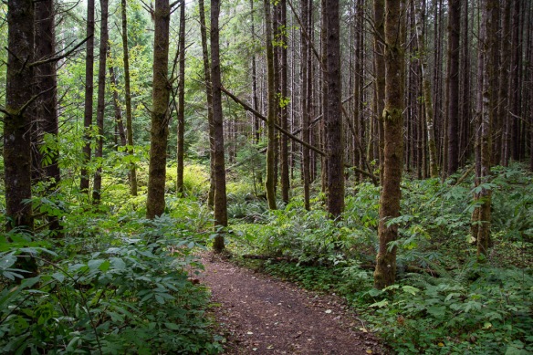 We were headed to Mt. St. Helens National Volcanic Monument for our first stop. We followed State Route 504 along the Toutle River and stopped before entering the NVM at this site where the sign said Sediment Retention Structure. We followed a trail through the beautiful woods.
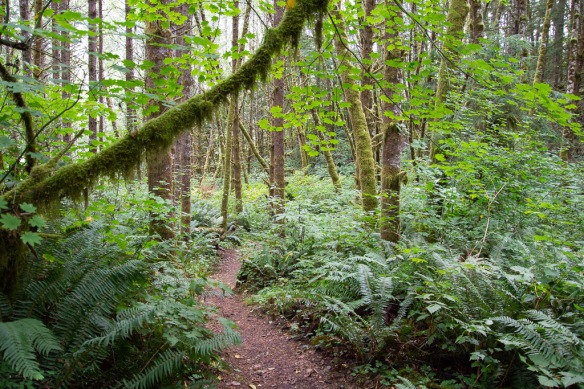
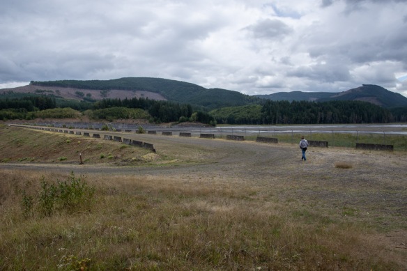 After a short walk we reached the dam. A sign told us: “As the North Fork Toutle River re-formed and carved new channels in the deposits [after the eruption in 1980], it became one of the world’s most sediment-laden rivers. The U.S. Army Corp of Engineers build the Sediment Retention Structure to trap sediments before they are carried further downstream. Sediment clogs river channels, worsening floods, and degrades water quality and aquatic habitat.” It is hard to tell the scale from my photos but this is a massive structure.
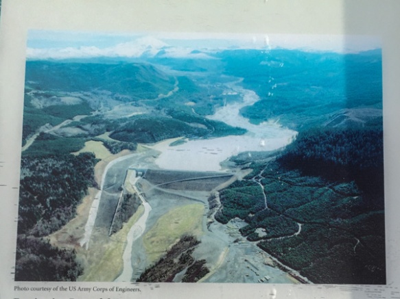 Here is an aerial view on the sign.
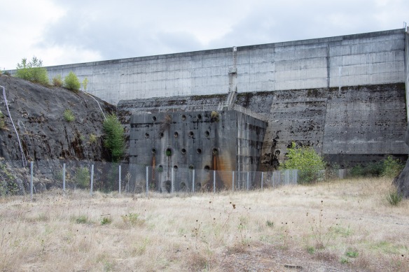 This part of the structure is on the aerial photo but is the “little” part at the left end of the horizontal part of the retention structure and to the right of the spillway.
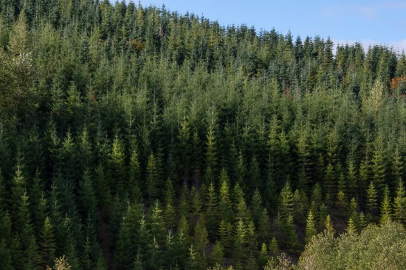 We continued on to the NVM. There are plenty of interpretive sites before you get there, some put out by the state and some by Weyerhaeuser. From their site: “Weyerhaeuser Company began more than 100 years ago with 900,000 acres of timberland, three employees and a small office in Tacoma, Washington. Founded in 1900 by Frederick Weyerhaeuser, we’ve grown to become one of the largest sustainable forest products companies in the world.” I was interested in the divergent viewpoints about the response to the destruction caused by the 1980 eruption. Weyerhaeuser began to reforest as soon as they could, planting millions of seedlings. Their sign shows a contrast between their now almost 40-year-old forests and the vegetation across the boundary where the response was to let nature take its course. Both arguments are convincing and I am not bashing a giant lumber company. After all I live in a wood house. The film that we saw in the Mt. St. Helens NVM Visitor Center, however, describes how quickly the communities begin to recover, starting with gophers, of all things, that survived in their burrows under ash-covered areas and moved soil and seeds to the surface. The film points out that the communities are now at their most diverse and as the natural sequence of forestation continues there will eventually be less diversity as one sees in a mature forest.
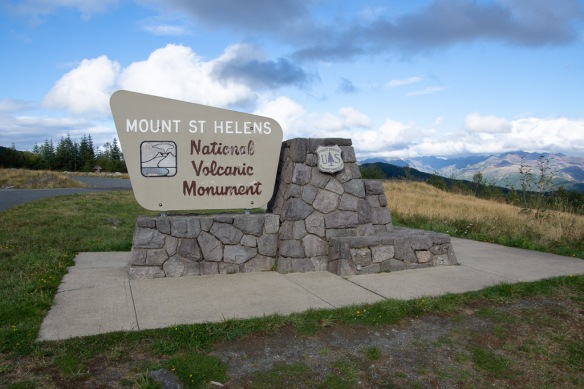 It isn’t possible to see all of the NVM in one day. No road goes all the way through and it is a lot of driving to get to other entrances. We chose this northwest entrance and realize that we’ll have to come back some day.
 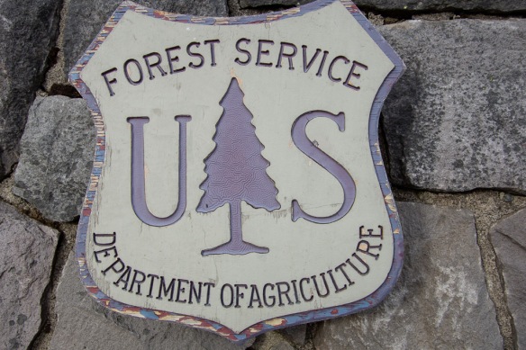 I liked this closeup of the USFS sign–see the detail in the tree? Someone had to think of that.
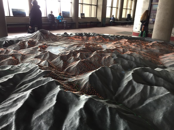 We started at the Visitors’ Center called Johnston Ridge Observatory. Here is a model of the terrain and as the story is told different color lights come on to show lava flows, ash deposition, etc.
 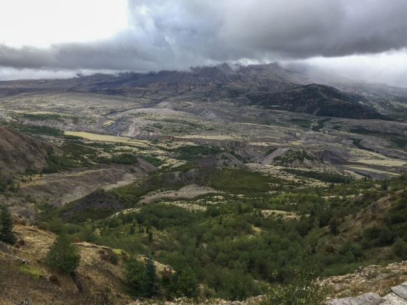 View of the mountain. We never got a clear look at it because of the clouds. It is amazing to think that the whole area in this photo was impacted by the blast and that everything in the middle part of the photo is deposits from the volcano.
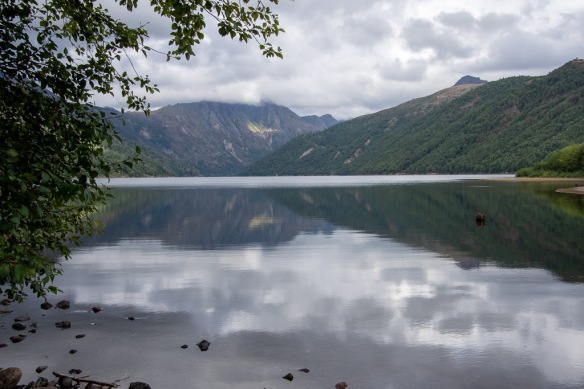 Coldwater Lake was formed when volcanic debris blocked Coldwater Creek.
 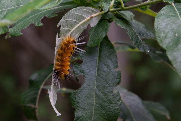 A wildlife shot!
 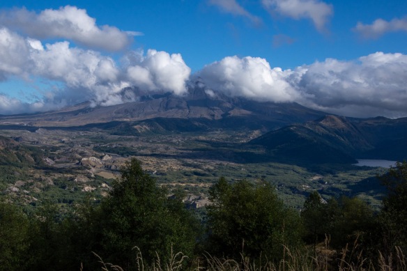 We stopped at an overlook before leaving the area and watched as the clouds moved past the mountain. The eruption of Mt. St. Helens was mostly from the side and it created a valley that faces mostly north (the cloud filled part on the left of the photo).
 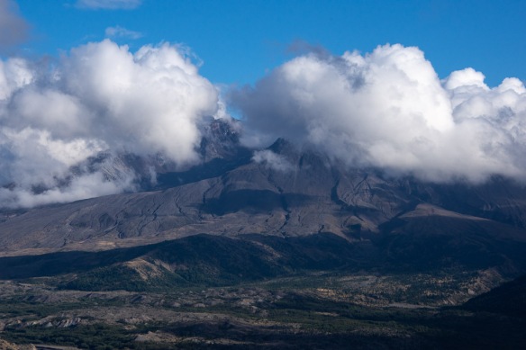 We caught a few views of what is left of the mountain.
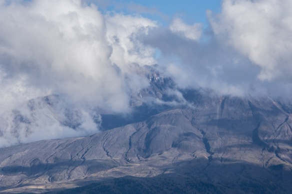 This definitely warrants a return trip.
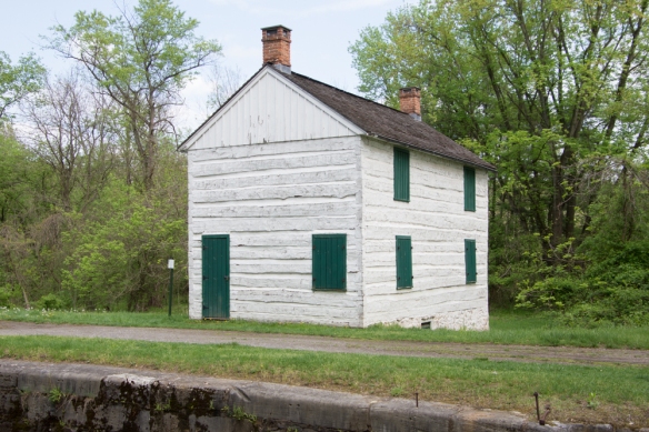 I shared photos of other parts of the canal in
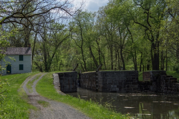
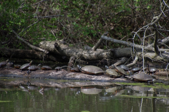 Turtles sunning themselves in the canal near Lock 75.
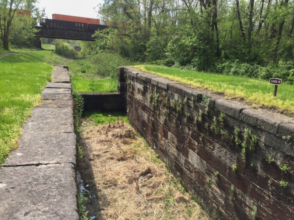 I drove along some of the roads in this area looking for more places to explore and found Locks 73 and 74.
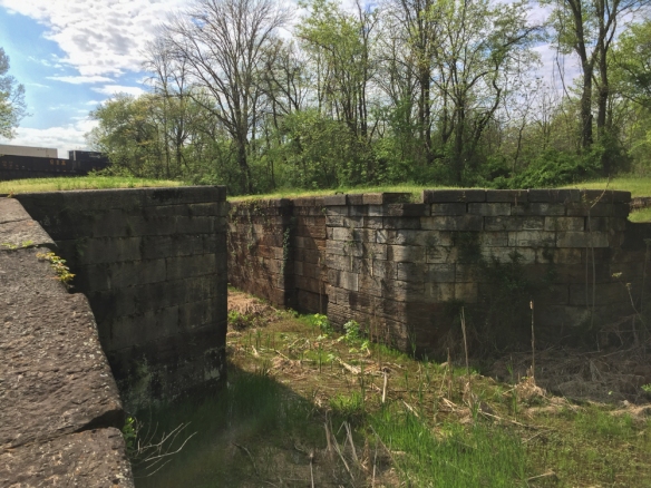 Notice the railroad over the canal in the previous two photos. The railroad and the canal were competitors for business during the era of the canal. Repeated flooding and competition from the railroad were the reasons for the demise of the canal system in 1924.
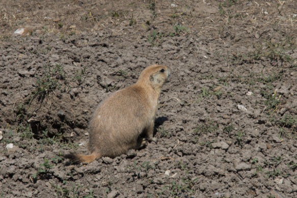
 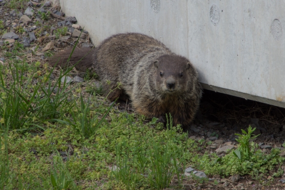 I saw a flash of this animal as he ran under the bridge. This is the first groundhog that I’ve seen.
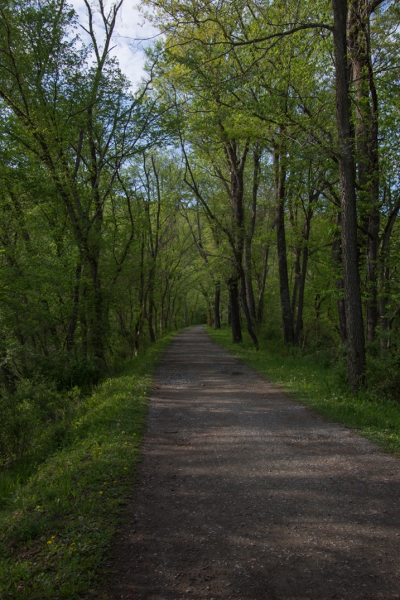 I had read on line that the tunnel was closed but thought that I’d be able to see the canal and walk along the towpath. This photo seems typical of much of the length of the towpath–a beautiful hardwood forest and a broad path to walk. One thing that I noticed everywhere was the number of birds. I didn’t see all of them–but there was quite a chorus in the woods.
 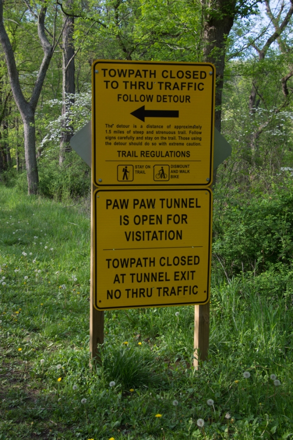 So I got to this sign and decided to take the detour.
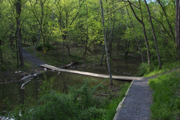 Wooden planks crossed the canal.
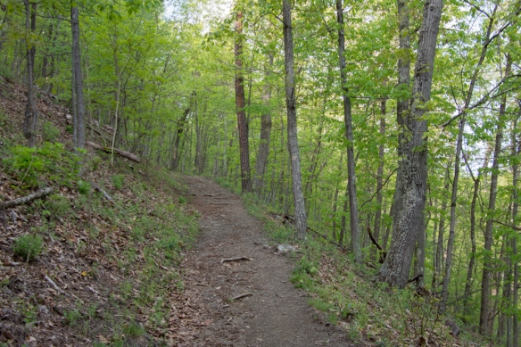 The trail wound up into the woods.
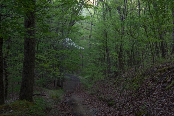
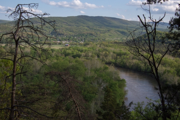 This overlooks the town of Paw Paw, West Virginia.
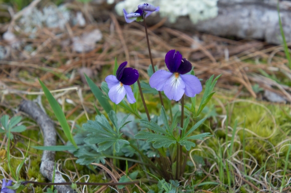 Viola pedata, Birdsfoot Violet.
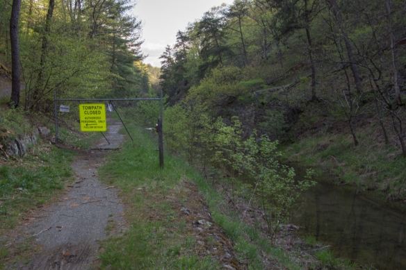 After hiking what seemed quite far into the woods I came back down to the canal and the towpath and saw this sign. From the looks of the terrain I assumed that is where the tunnel is even though the first sign had said it was open.
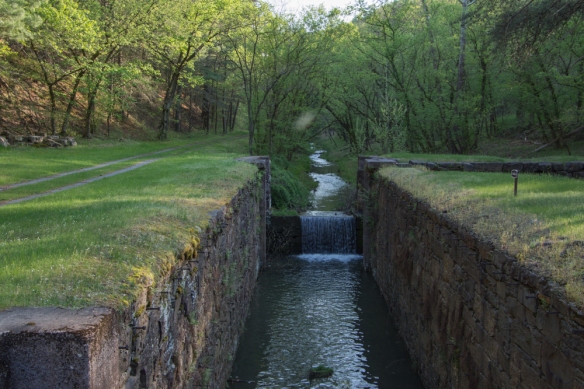 I walked the other direction, and saw this lock. The path continued around a bend.
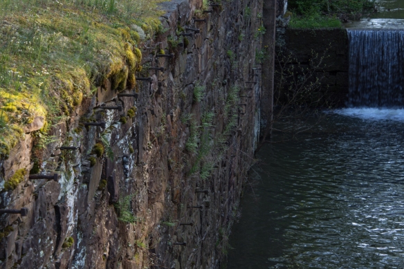 This was confusing. I assumed that there was a reason to make a detour and wasn’t sure if I continued to walk along here (towards where the detour sign had been) that I wouldn’t come to an impassable spot. Why else would there have been that sign? Or was I completely turned around? It was getting late in the day and my mind started to play tricks. Are there bears in these woods? I’m all by myself and no one knows where I am or will know if I don’t return. My phone battery is almost dead. There was no cell service, but I wouldn’t even have a flashlight.
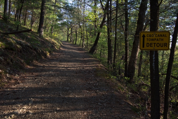 So I decided to turn around and go back the way I had come.
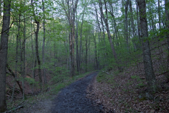
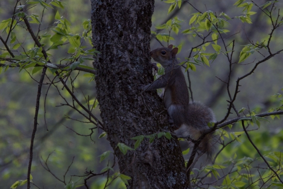 No bears, but there were a lot of squirrels.
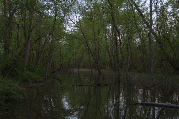 Crossing the canal.
 I hit this point at dusk.
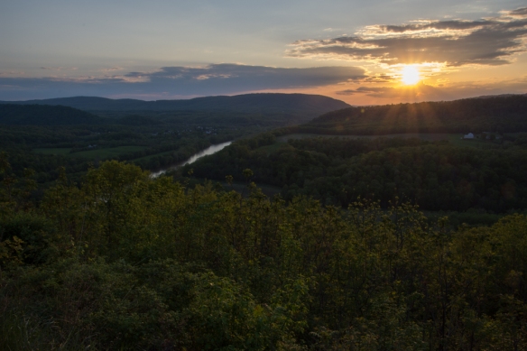 It was dark by the time I got to the freeway and I got back to Frederick at about 9:30 after a long day. That was it. I flew home the next day.
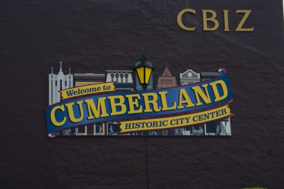 …to Cumberland where I finally found parking away from the touristy city center and I walked …
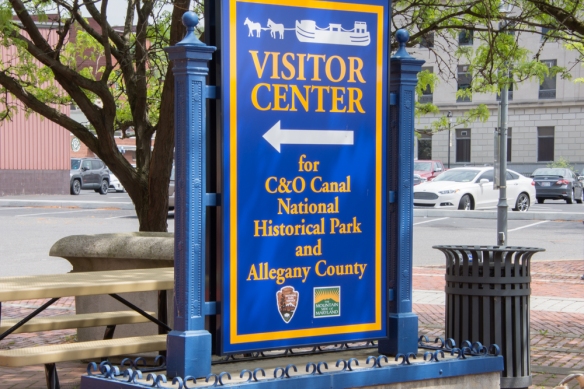 …to the Visitor Center. At the Visitor Center I asked about walking on the towpath. The person there told me that I would find more attractive areas away from town but while I was in town I might want to walk do a self-guided tour of the Victorian Historic District on Washington Street. So I headed out of the Center and started my walk, first seeing a few more of points of interest near the river.
 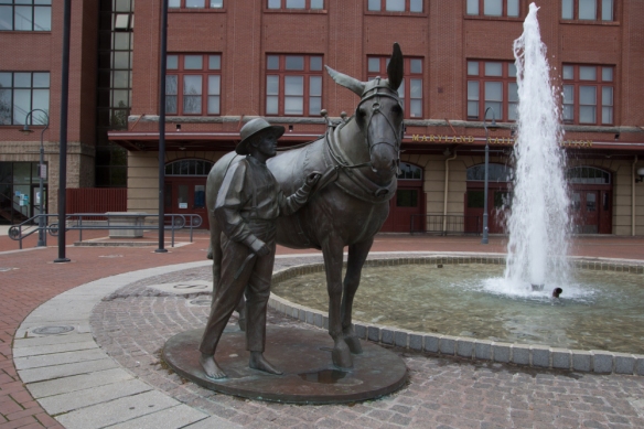 Mules played a big role in the history of the canal. In the last post I mentioned 3000 mules on the canal. Each boat had a small stable for the mules at one end and the living quarters for the boat operator and his family at the other. The rest was cargo (lots of coal). Two mules worked on the towpath while the other two were in the stable.
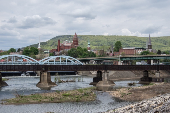 The beginning of the canal system contrasts with modern transportation routes and the old buildings of the city.
 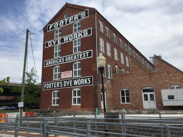 This is the last remaining structure of what was once the largest cleaning and dyeing establishment in the U.S. and a major employer in Cumberland. I think that it is now apartments.
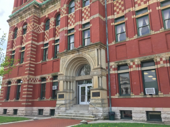
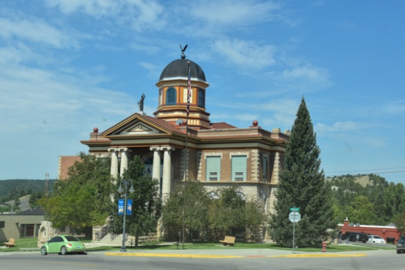
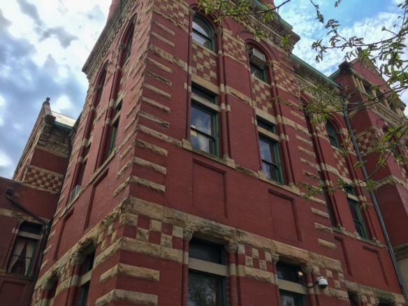 This is the Allegany County Court House build in 1893-94.
 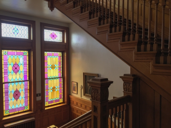 Here is a view inside the Courthouse.
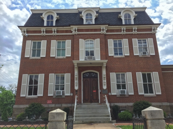 This building has housed the Board of Education since 1936 but was built in the 1860’s for William Walsh who served two terms in the House of Representatives.
 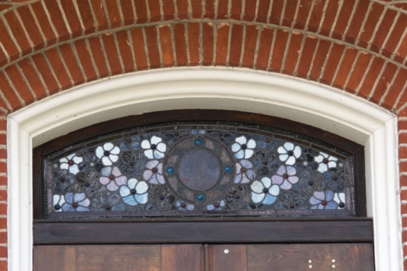 This is the stained glass above the door.
 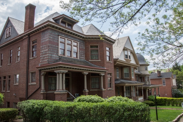 The rest of these photos are in no particular order, but I walked several blocks and over forty of the houses are listed in the Self-Guided Walk Into History. The house above was built for an attorney in the late 1890’s.
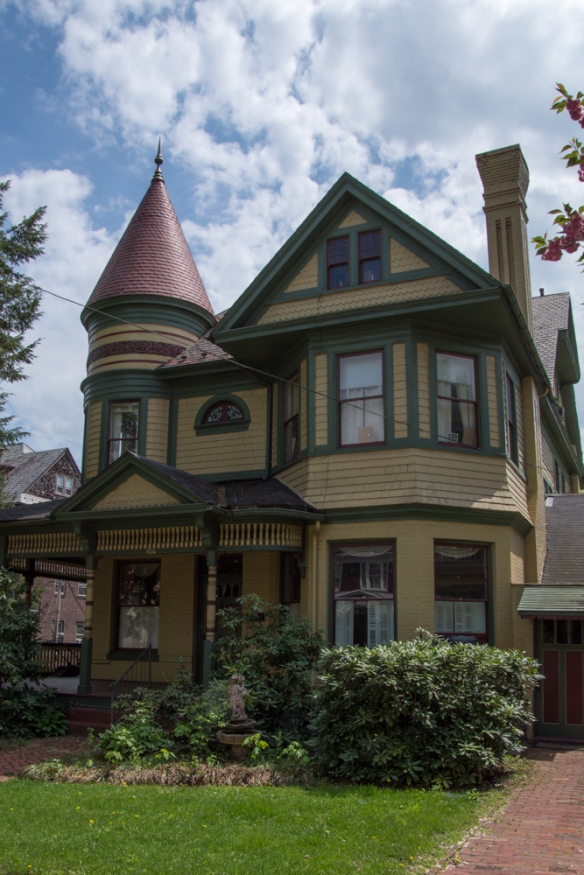 Built around 1890.
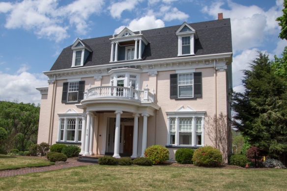 This one was built in 1890.
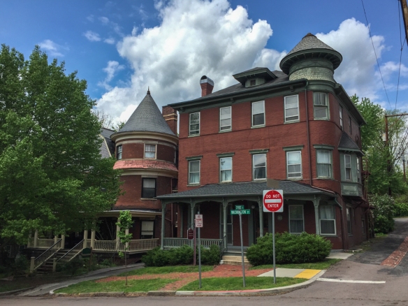
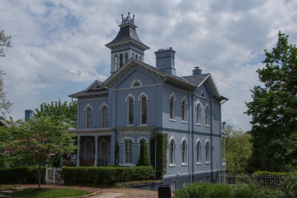 Some of these houses weren’t listed on the Tour Guide or I just don’t remember which they are.
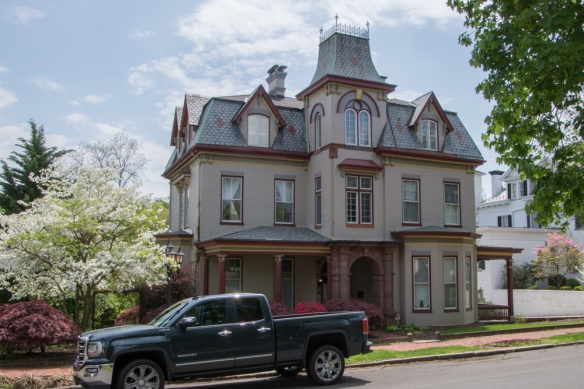
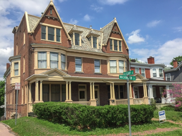 1880.
1880.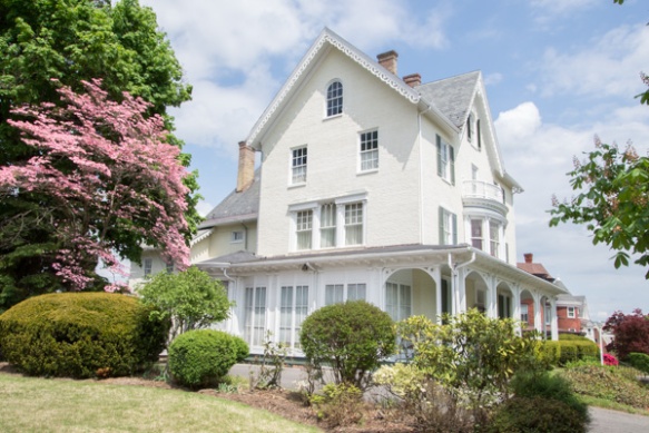 Built in 1855, now the Woman’s Civic Club House.
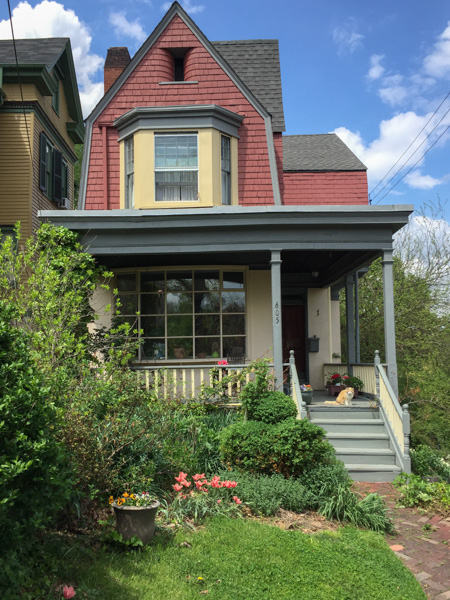 This house was built in the early 1880’s and known as “The Little House because is is the smallest house on Washington Street. The brochure says that this house “features a beautifully curved staircase and a Colonial Revival fireplace with a bullrush design in cast iron”.