
It has been a few weeks since we finished our road trip and there have been plenty of distractions since I’ve been back that have kept me from sharing the story. Now that the Olympics are on TV I am trying to multi-task. But it’s hard to pull my eyes away from the TV at times.* However I’m close to finishing–we are still in Colorado but once we headed for home we didn’t stop for much.
After we left Black Canyon of the Gunnison National Park we looked at our trusty Benchmark map book for Colorado and saw that we could probably get to Mesa Verde National Park in time to spend the night there. So after driving through the marvelous San Juan Mountains it was a relatively short drive from Durango to Mesa Verde. We got there about 6 p.m. and found that there were plenty of open campsites.

We looked at the Park maps and saw a couple of 2-mile trails that we would have time for before dark. First we hiked up to Point Lookout at 8427′ elevation. This view is to the northwest with the San Juan Mountains in the background and the town of Mancos in the center.

Squirreltail…

…and Indian rice grass along the trail.


After getting hiking this trail we drove to the the Knife Edge Trail which follows a section of the precarious road built in 1914 which was part of the original main access into the park.


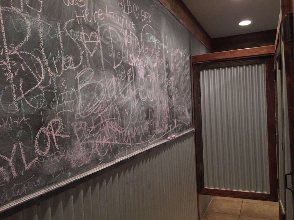
Dan took this photo of me with the booklet that described the plants and other features along this trail.


This is a popular place for park visitors to watch the sunset. We walked back to the car at dusk and it was dark when we found a campsite. With the dark it got cold and we didn’t have a working stove. We ate tuna sandwiches and went to bed. 
This is what camp looked like in the morning.

There were deer around the camp in the night and at dawn when I got up.

Seen on my early morning walk.

We had learned when we paid for our campsite that the way to see the features for which the park is best known (the cliff dwellings) is to sign up for one of the tours. We showed up the next morning for the Balcony House tour.

We were directed to follow the trail to the end where we would find a ladder and to wait there.

This tour is listed as the “most adventurous cliff dwelling tour” and we were warned that we would “climb a 32′ ladder, crawl through an 18″ wide by 12′ long tunnel, and climb up a 60′ open cliff face with stone steps and two 10′ ladders”. Not quite an Indiana Jones adventure but it did seem challenging for some of the tour participants.

Can you imagine what this was like when people really lived here?

I can see the challenge of being a mother of a toddler.
The Ancestral Pueblo people lived in the Mesa Verde area for about 700 years from about AD 550 to the 1200’s, first living in pit houses, then above-ground pole and adobe structures. The people built the cliff dwellings from the 1190’s to 1270’s and lived there for less than 100 years. It is unknown why, in the span of a generation or two, the people left the area.

Ranger Spenser was glad to answer questions and discuss his passion for the earlier residents of these dwellings.

Each village or homesite has a kiva built below ground or in the case of the cliff dwellings, into the rock floor.

This is the view across the canyon from Balcony House.

This is the same view with a longer lens. It was remarkable that when you really started to look (or got out the binoculars) that you could see dwellings in many of the cliff walls.

Here is another that we saw later in the day…

…and here’s the close up. This is known as Square Tower House, a 4-story building.

Remember the part about the 18″ x 12′ passage. Here it is…

…followed by the ladders…

…and steps up the cliff wall.
We drove through more of Mesa Verde, looking at some of the other sites, but knew that we needed to get on the road if we were to get home some time the next day.
Next post: Four Corners and Monument Valley.
*I still didn’t get this finished and now its the next day.


 We were packing the truck. I wondered if Kirby would miss us for a little while because we’d been there for four days. Probably not, but I hope that she will remember me next time I see her.
 Time to leave. I needed to be home by Friday.
 There are more mountains than I expected.

 Dropping into the Rio Grande valley.


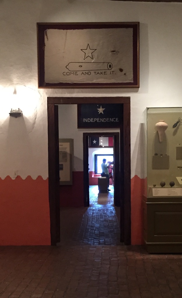
 We entered the church through the Door of Life and left it through the Door of Death.

 Just as we had seen in northern Arizona and New Mexico everything was green. Summer monsoons are the norm, but there have been several dry years so this particularly wet year is a welcome change. However there can be too much of a good thing. We saw the signs on the Blanco River of the recent high water and were amazed at just how high it was.
  Katie and Kurtis live on high ground between Blanco and Wimberly (where the horrific May flooding swept houses and people away) so they were in no danger. This wash just down from their driveway has running water now but during the flooding was many feet higher and impassable. Hard to imagine.
 …the rams…


 First we stopped at Katie’s office and went to lunch with her co-workers. Then we drove to San Antonio.
 The Alamo site is an interesting juxtaposition of the old and the new. The lower stone wall surrounds the Mission grounds.
 The Alamo site encompasses a block in downtown San Antonio with newer buildings rising around it.

 After a long drive and a lot of walking around in the heat what better way to end the day?
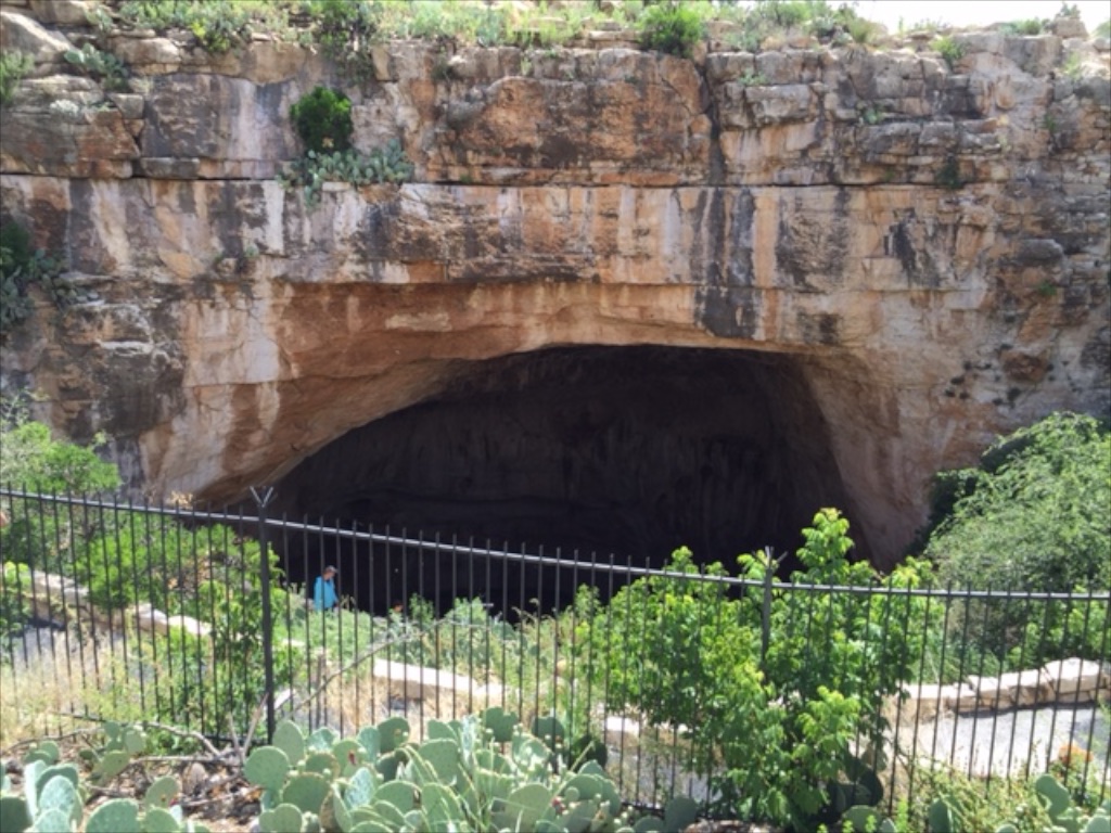
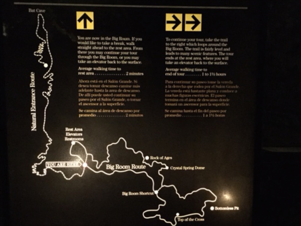
 The bats roost inside the cave in an area closed to the public. Cave swallows roost in the entrance.


 According to the sign we were standing on the rim of a collapsed super-volcano, 12 miles in diameter and magma is only 5 miles beneath.
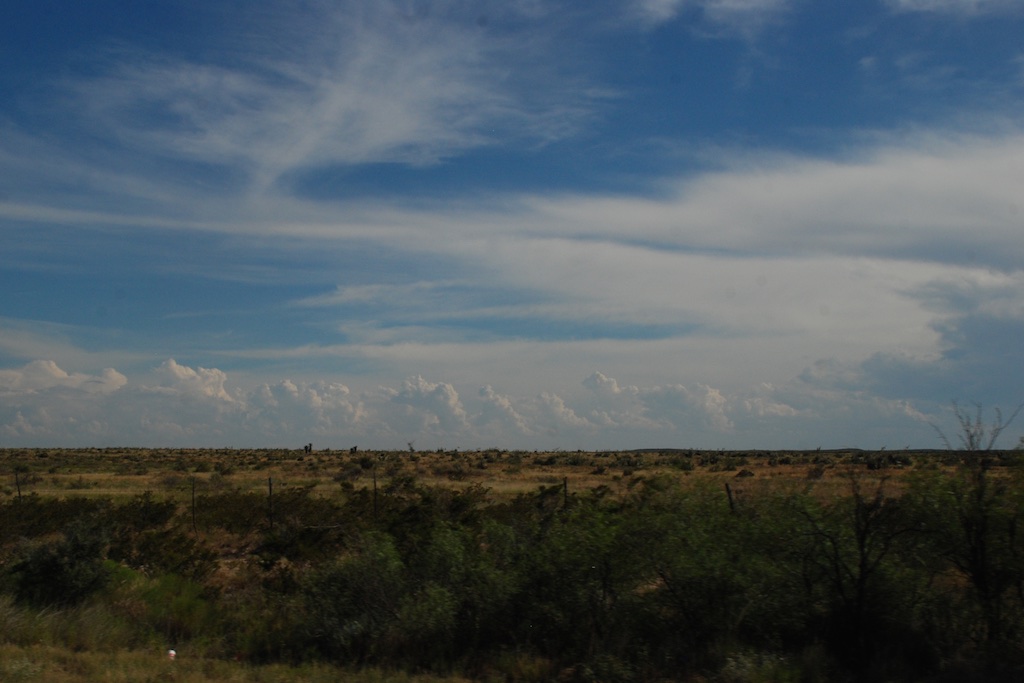
 We had been lucky with the weather the whole day. Other than the previous night we hadn’t been rained on. But we could watch the weather while we were driving. There is lots of flat landscape on the drive through central New Mexico, but I am just glad to see that there is so much unpopulated land in our fabulous country. The tune “wide open spaces” continued to run through my head (as did “standing on the corner…” from yesterday).
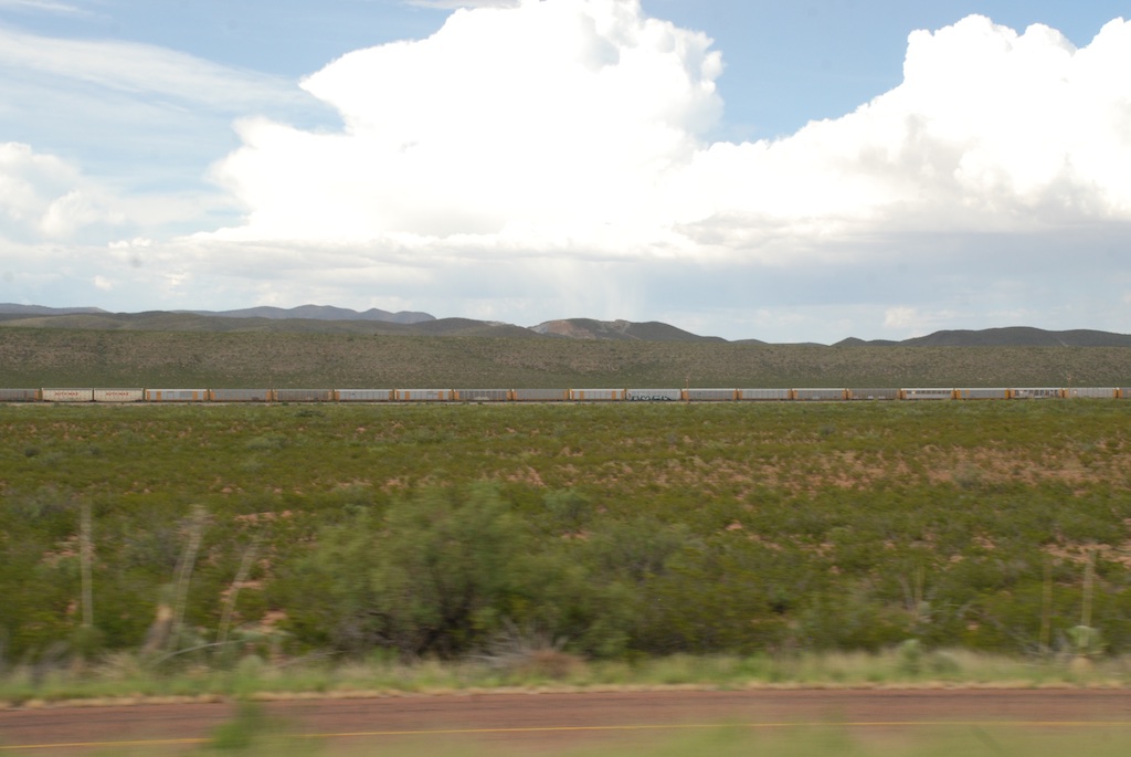
 Another train view but this is a train made up of a dozen engines. We saw this the previous day also. Mulitple engines are used to pull (and push?) trains up the long grades and I guess they send those engines back to be ready for the next train. Many hours of driving later and about dusk we got to Roswell,


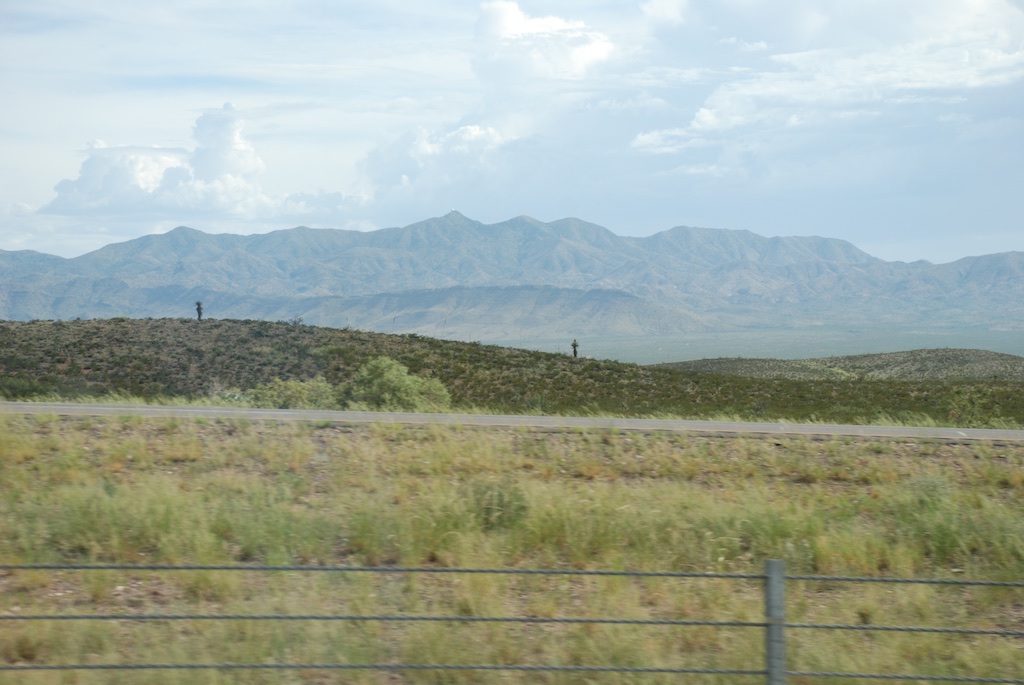
 After stowing our gear we set off north to see what the town of Kelso looked like. Have you ever seen a sign with a flashing light that cautions you to watch for tortoises? I never had and I wish I had stopped for a photo. It was one of those things that I thought I’d do on the way back but we ended up making a loop through the preserve.


