Farm Club Summer Retreat 2026…including some digressions that could be their own blog posts…

Every year since 2011 (except for a couple of COVID years) Farm Club members have gathered in San Francisco for a getaway. In January 2026 we gathered for Retreat #13 and we enjoyed it so much we talked about planning another retreat for the summer. So I guess this is Retreat #14 or Summer Retreat#1. There were twelve participants this time and prior to gathering we sorted into carpools groups depending on geography. Four of us in the I-80 corridor group (Sacramento to Fairfield) drove west to enter San Francisco across the Golden Gate. We made a couple of stops on the way. An unplanned spur-of-the-moment stop was at Dharma Trading Company in San Rafael, a wonderful resource for all dyeing projects.
Lettering on wall, "The Bay Model, U.S. Army Corps of Engineers"

The next stop was The Bay Model, a place I had read about recently and wanted to see. It is just what the sign says, a model of the San Francisco Bay. I think I may have been here a long time ago but had very little memory of it, and there is much more to it now, at least from a visitor point of view. The original function was as a research tool to examine tidal movement before there was computer simulation. After 2000 the focus shifted to education and the facility has developed into a fascinating educational tool, demonstrating the tidal movements of the Bay and Delta.
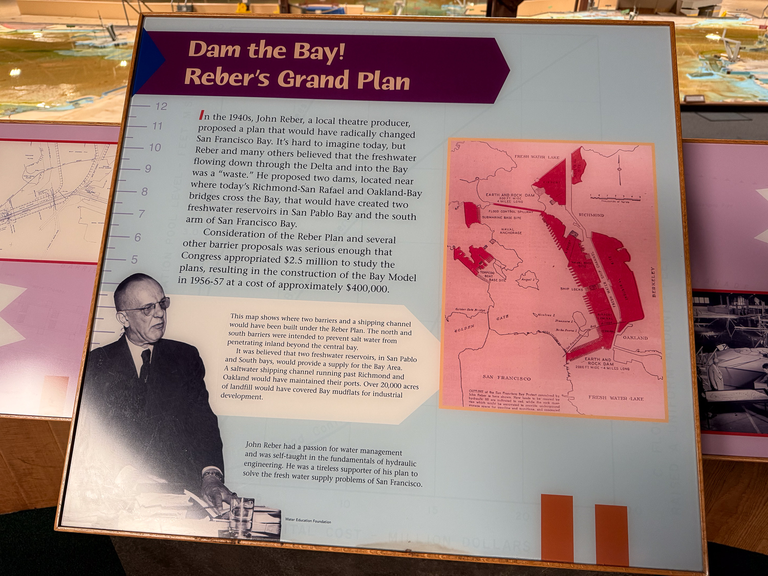
The background story is amazing (in a horrifying way) to me. There was a proposal in the 1940’s to build two dams where the Sacramento and San Joaquin Rivers enter San Francisco Bay to create freshwater reservoirs and to cover mudflats for industrial development. The idea was taken seriously enough that this model of the Bay from the ocean to Suisun was constructed in 1956-57. The Sacramento-San Joaquin delta portion was added in the late 1960’s. The model is the size of two football fields and is in a three-acre building that was part of a shipbuilding facility during World Was II. The model reproduces the tides of the Bay (about 24 hours) every 15 minutes.

We had less than an hour to visit before the facility closed. In that short time I gained perspective that I had not learned in all the years I’ve lived in northern California. The first was the idea I described above, and the reason this model was constructed.
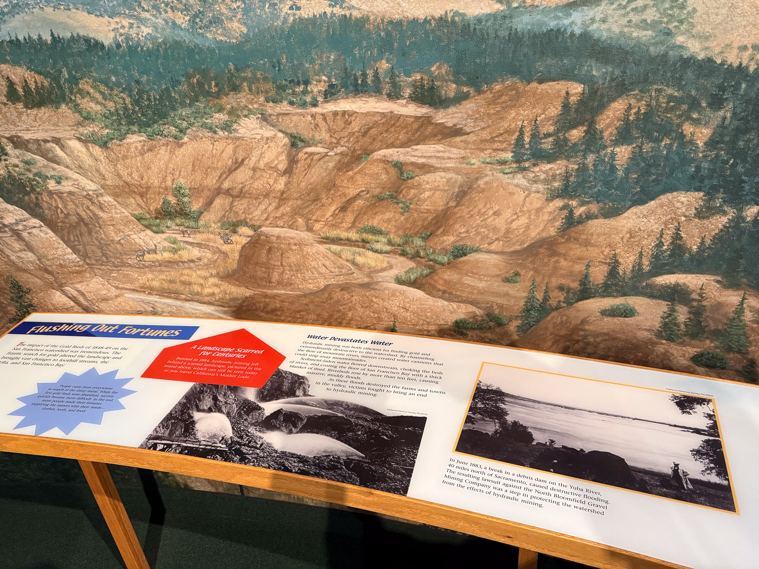
The second is part of a well-known episode of California history. There is a mural as you enter the exhibit that portrays the destruction caused by the California Gold Rush of 1848-49. From the sign: “Hydraulic mining was both efficient for finding gold and extraordinarily destructive to the watershed…Sediment laden water flowed downstream, choking the beds of rivers and coating the floor of San Francisco Bay with a thick blanket of mud.” We all learn about the Gold Rush in school, and I have seen the still-remaining evidence of this in the foothill landscape but I hadn’t thought of the impact downstream all the way to San Francisco.

I can’t help but relate these events to the current proposals we face in Solano County and on the federal level that are led by greedy, money/power-driven people that will destroy the environment…but now I really digress. This is supposed to be about the Farm club weekend.
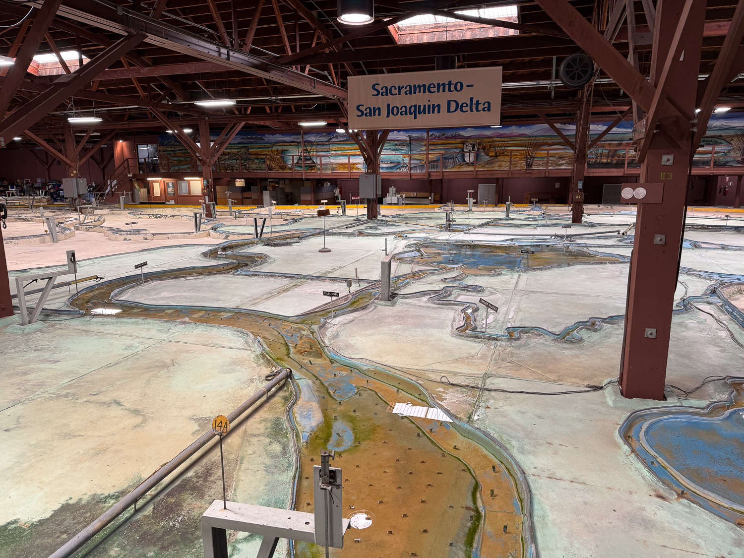
One last photo of just one part of the Bay Model. It was close to closing time and the water flow had been turned off. I want to go back and take more time to fully appreciate this incredible exhibit.
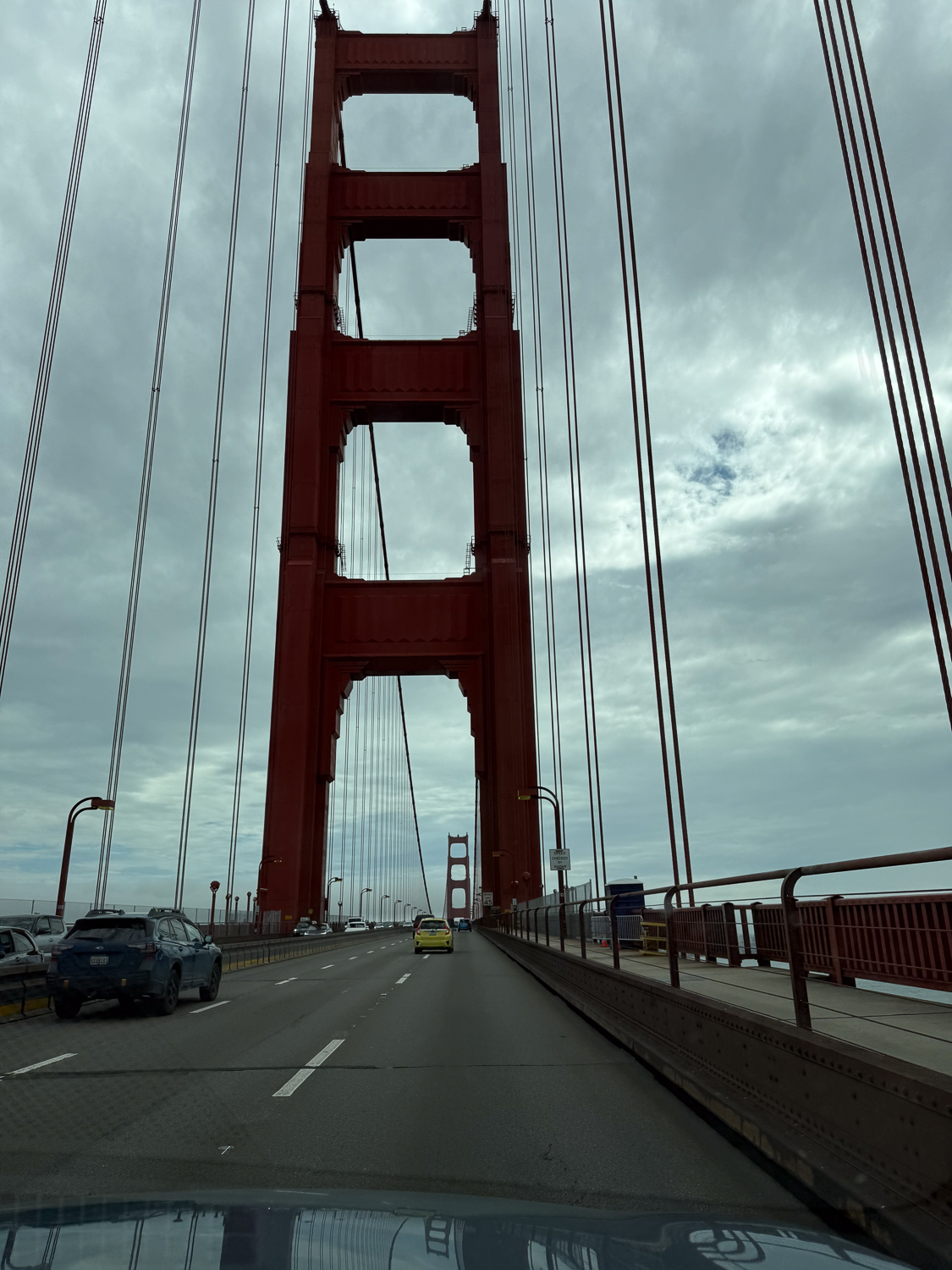
Crossing the Golden Gate to enter San Francisco. Learn more about our destination, the NDGW Home, in the link at the beginning of this post.
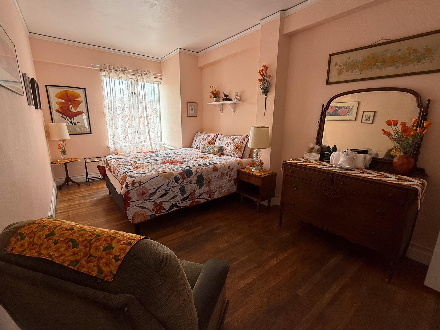
Bedroom with wood floor and poppy themed decor.

This is the room I was assigned. It has a California Poppy theme. As usual we spent the evening in the parlor spinning or knitting or working on other fiber crafts.
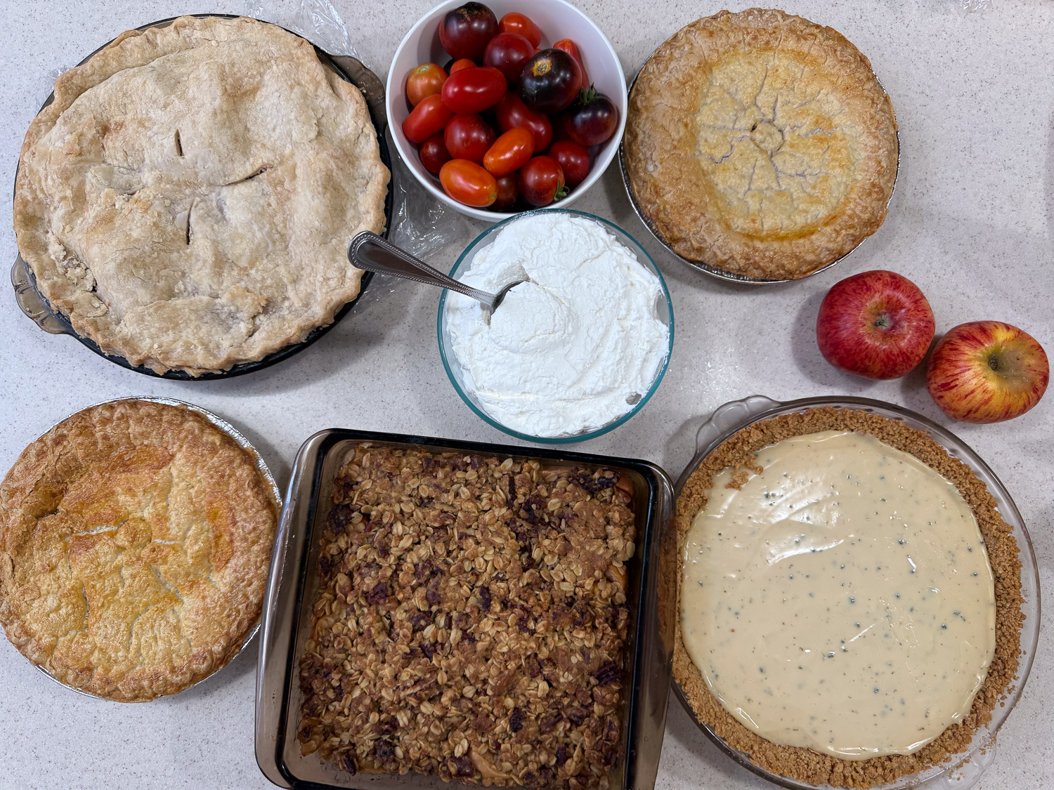
Four pies, an apple crisp, bowl of whipped cream, and tomatoes.

Our traditional breakfast is pie and there was no shortage this time. Pies include peach, berry, and key lime, and an apple crisp. I included freshly picked tomatoes along with a peach pie.
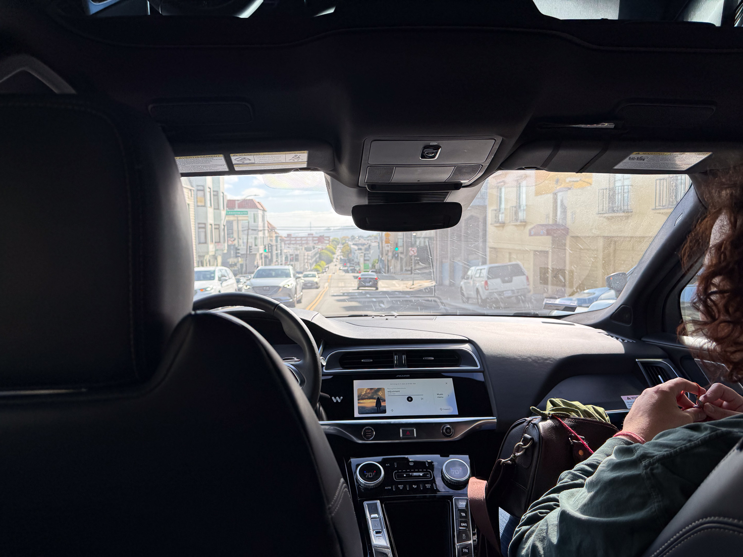
After breakfast six of us made our way to Alcatraz. The significance of this photo is that there is no one in the driver’s seat. This is Waymo! That’s a new experience.
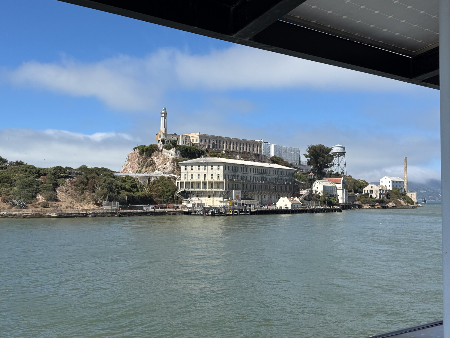
View of Alcatraz Island from the water.

We took the ferry to the island.

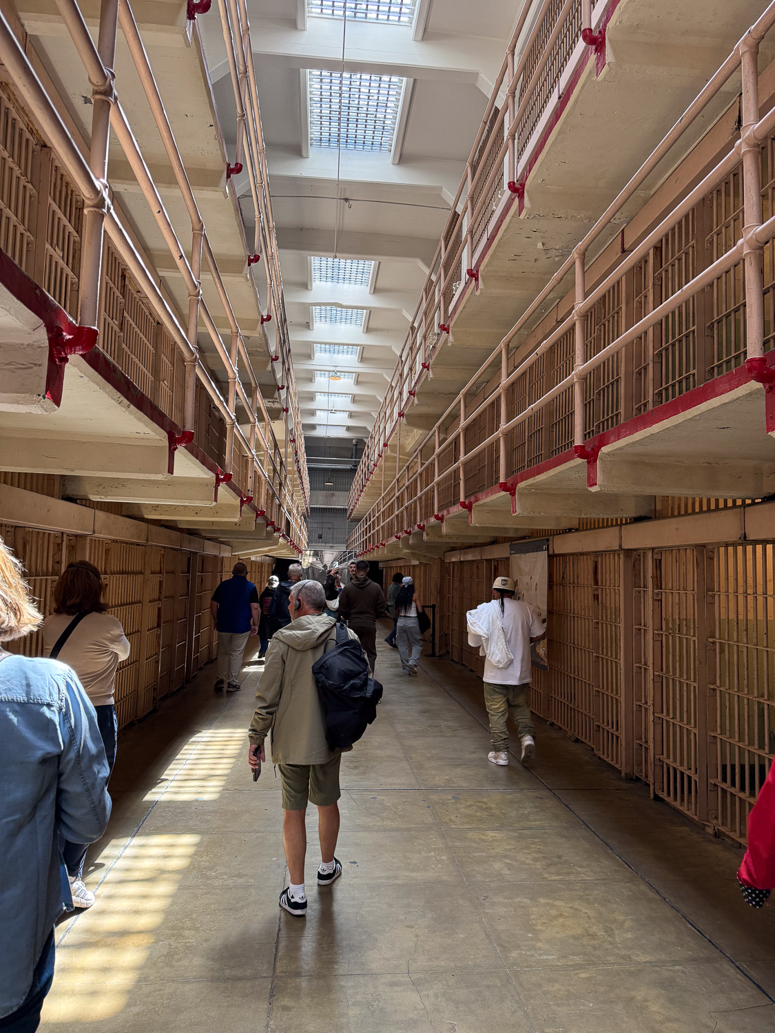
Inside Alcatraz cell block, view of cells on two levels.

We first took the self-paced audio tour of the Cellhouse and then explored the rest of the island and other exhibits for a few hours. Alcatraz has a history prior to the relatively short era of being a federal maximum security prison. It was probably visited by Native Americans long ago, but in the 1850’s it became a fort and a military prison. It was transferred to the Department of Justice in 1934 and operated as a federal prison until 1963. I could digress again about Things I Should Have Known. There are thought provoking exhibits about the U.S. Rate of Incarceration (the highest in the world, by far), the Termination Policy and the Relocation Act of the 1950’s that removed Native American people from the remaining tribal lands, the Native American 19-month occupation of Alcatraz beginning in 1969-72, and more. We wondered how long these exhibits will be allowed to be in place if anyone in D.C. learns about them. This is California, so are we safe? I have digressed again.
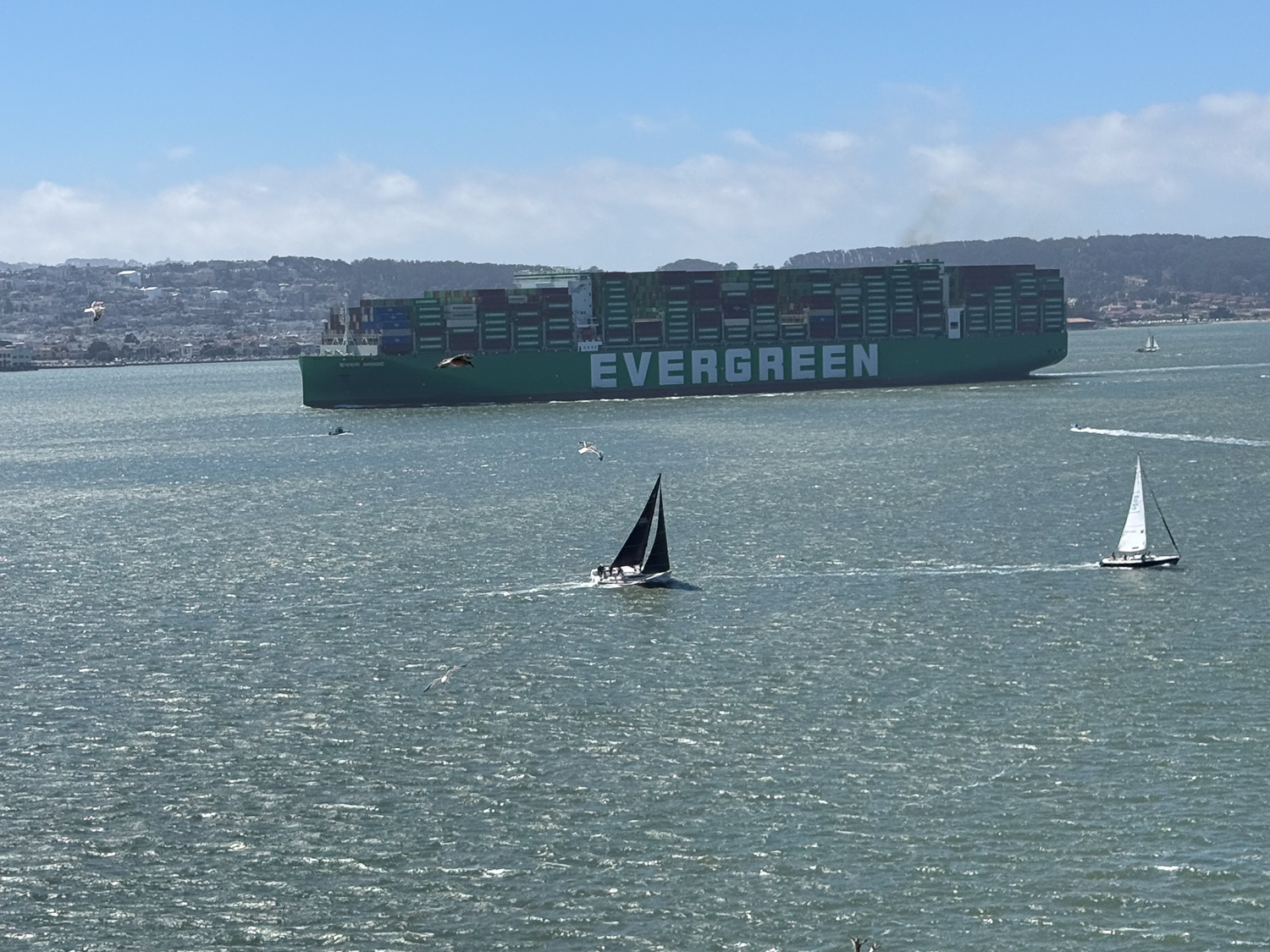
Large container ship, labeled Evergreen, in the bay with sailboats in the foreground and San Francisco hills in background.

We spent time exploring other accessible parts of the island and caught this view of a container ship heading to Oakland, where we saw it docked on our way home the next day.
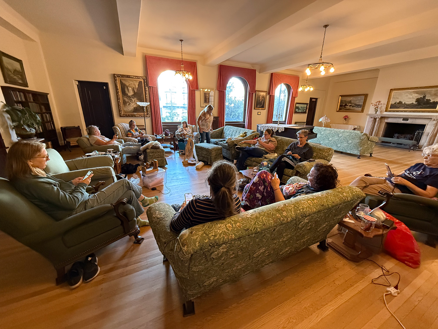
People seated on couches and chairs arranged in a circle in large room with wooden floor and arched windows.

After our Alcatraz tour we Waymo’d (is that a verb?) to Haight Street for a shopping experience and then walked back to the Home where we spent the rest of the day. We had moved furniture to expand our circle. Everyone is on their phones in this photo because we were ordering dinner, after figuring out how to make a group order with DoorDash.
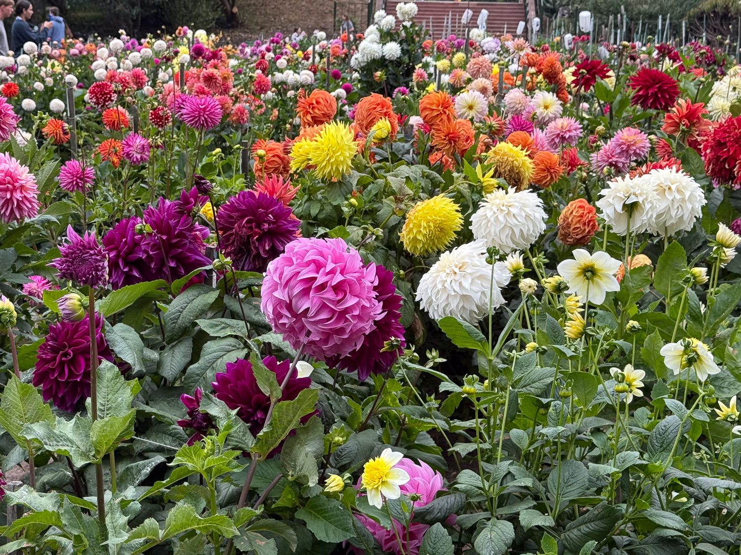
Colorful dahlia flowers of all sizes.

Sunday morning some of us walked about a mile to Golden Gate Park to see the dahlia garden. There are enough photos to have another blog post that could be used as color inspiration for weaving projects!
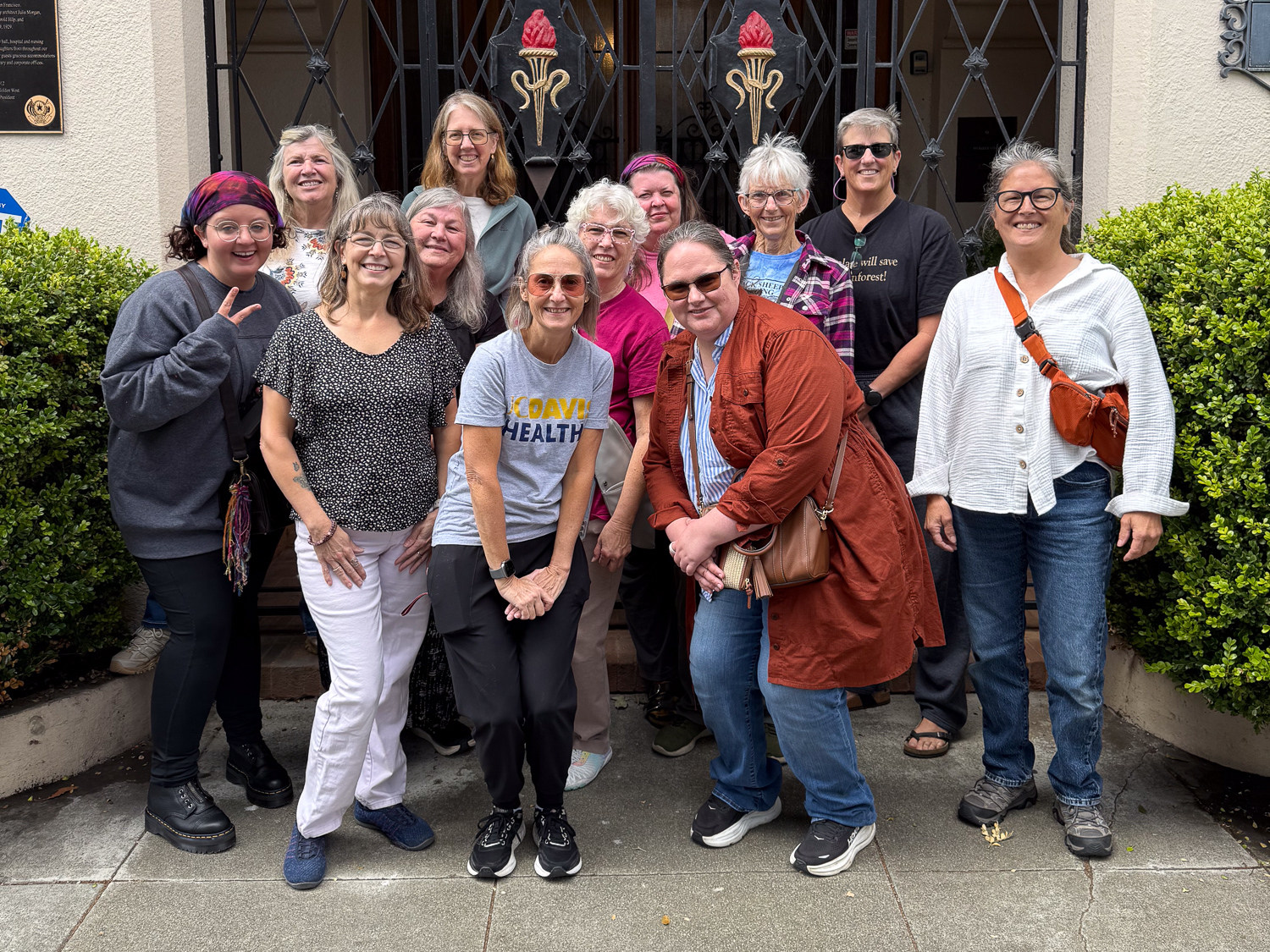
Group photo of twelve women outside gated entrance.

The weekend was over too soon, but the group discussion helped me to pinpoint a potential breeding date, which sets us up for lambing and shearing dates, and for the next retreat in January or February.

Black Sheep Gathering – 2

Here is the first post about this year’s Black Sheep Gathering.

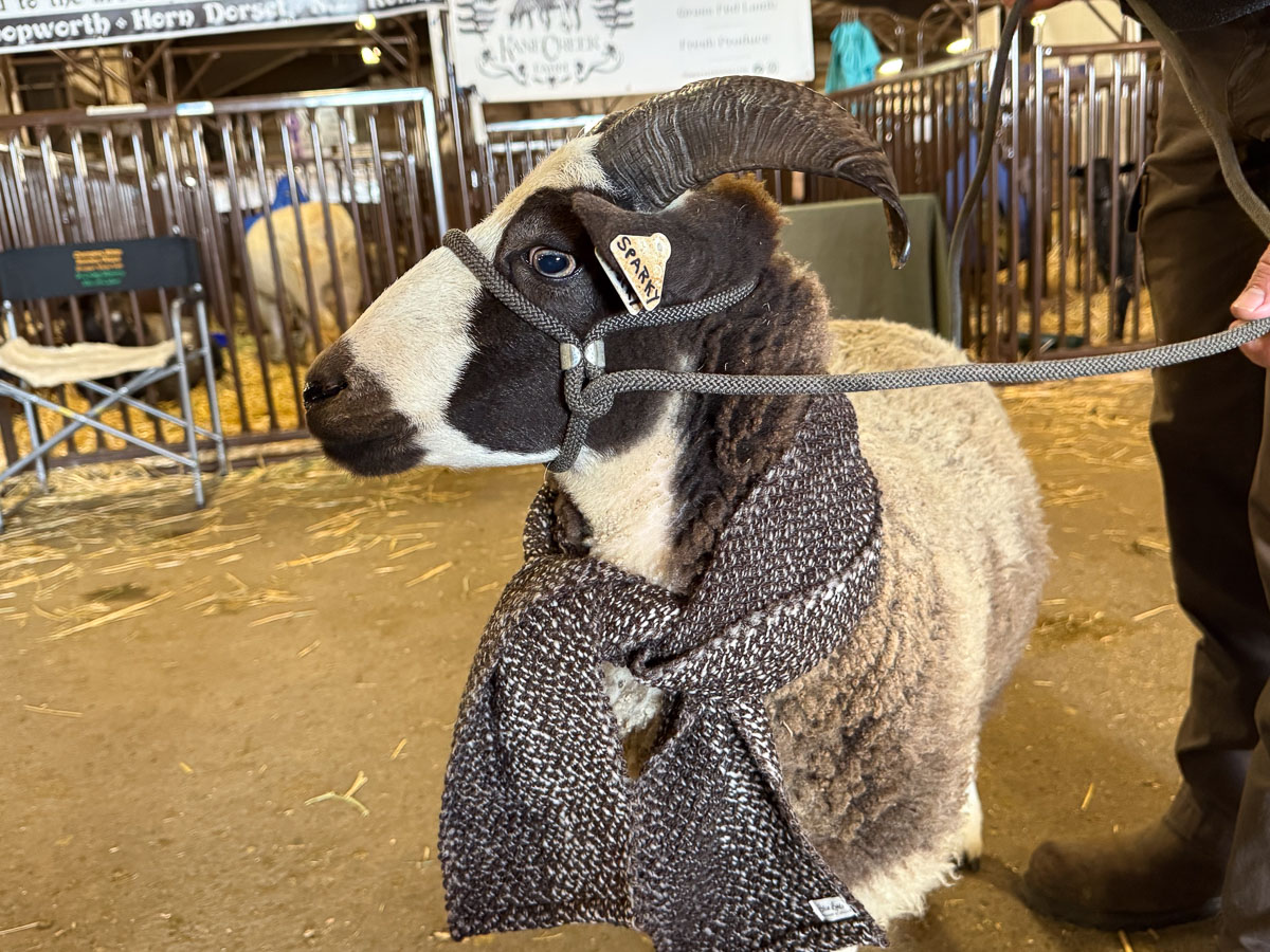
I ended that post with a photo of Sparky ready for the Spinners’ Lead Contest. It is so difficult to get decent photos in the showing that I’ll share just this one, taken while waiting for the contest to start. The Spinners’ Lead Contest is a sort of like a fashion show, but with a sheep representative of the piece that is entered. At BSG, all entries use handspun yarn or are felted.

I took this photo at home. This is what the shawl looks like from the back. It’s handspun Jacob yarn arranged in color order from light to dark.

I have lost track of which was first and second, but they are the pieces in the photos above and below. They happen to be knit by a mother (below) and daughter (above). The sheep image on the sweater above was identical to the sheep being led in the show. These pieces were also entered in the Fiber Arts contest.

The next day I wandered around the vendor hall for a while.

This is another entry in the Fiber Arts Contest.

I took a few photos of things that I want to remember. At this booth there were some beautiful rugs woven with core spun yarn.

I have been getting core spun yarn from the mill spun using the coarser britch wool. I think I will sell it better as finished rugs than as the yarn itself. This makes me think about dyeing some of it.

Sheep are released at 4 and we were ready to leave at 4:20. We got to California at 8:30 p.m. I like having Mt. Shasta in sight.

The full moon made for some cool photos of the mountain.

Screenshot

We made only two stops for gas on the way home and pulled in at 1:12 a.m.

I don’t need to buy yarn or fiber. This is what I brought home. The two bowls add to our collection of this potter’s kitchenware. There is a BSG tie-dye t-shirt under the bowls. The book, two items at lower right, and one skein of yarn were my prize for Spinners’ Lead. Everyone gets a bag with goodies supplied by vendors. When I went by to thank the vendor who supplied the green yarn I thought I should buy another to go with it. The punch needle kit was a last minute impulse buy. I have always admired the colorful pieces I’ve seen at this booth. I didn’t have time to do the on-site lesson…and do I really need to learn another craft to distract me from all the other stuff I should be doing? This kit had all the necessary components and instructions to get started and I decided it was something I could work on while we were driving home. I got to the point you see before it got too dark and hopefully I’ll finish it one of these days.

I mentioned that Sparky wants to tell her impression of the show. That will have to wait awhile, but it will be soon on the blog that we are resurrecting that Rusty used to write.

Black Sheep Gathering 2026 – 1

Black Sheep Gathering is always the last full weekend of June. We loaded the trailer early Thursday morning that week.

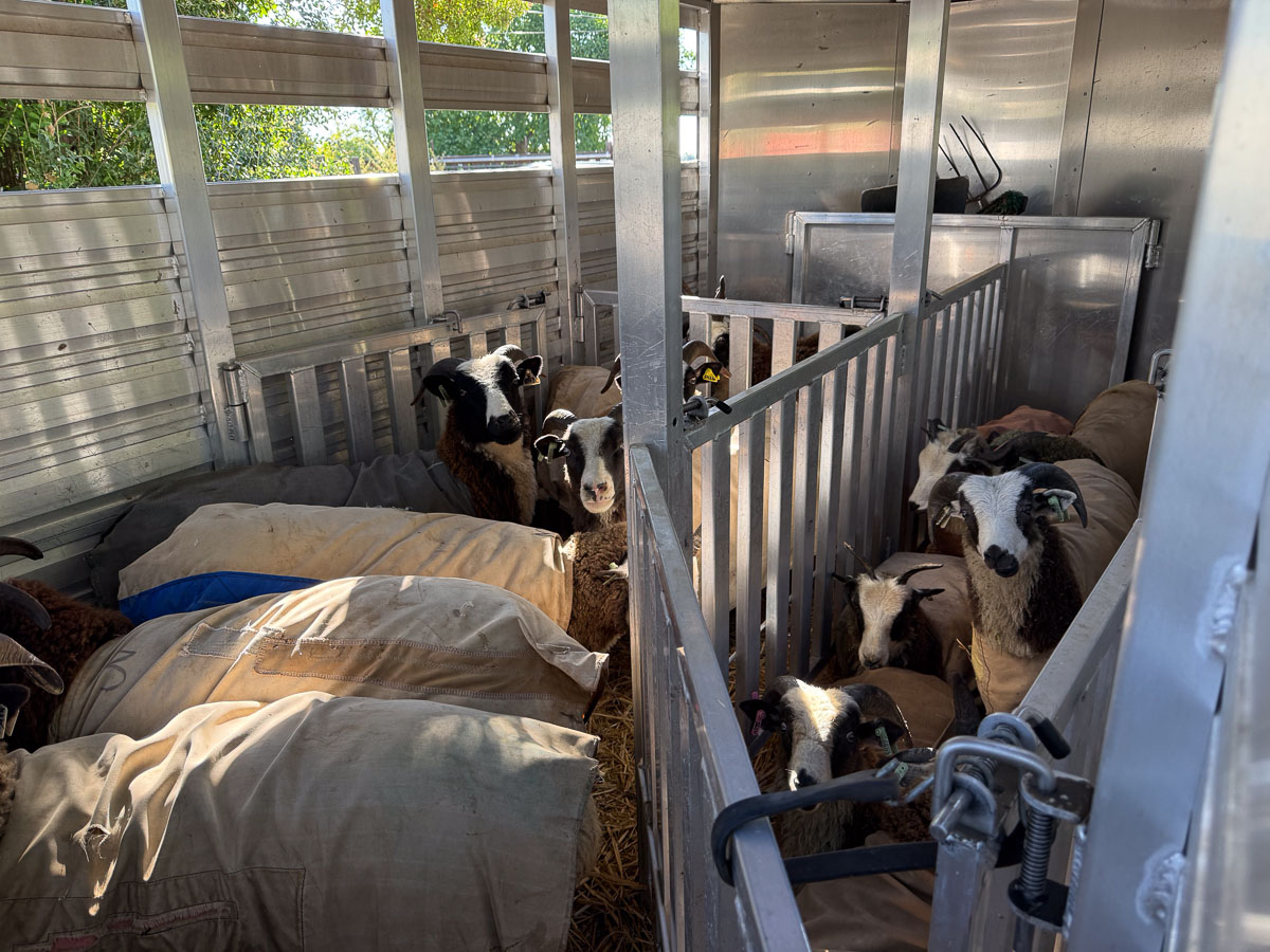
Jacob sheep in a trailer divided into compartments.

We loaded 14 sheep, two of which were to be picked up by new owners. Twelve would be in the Jacob show.

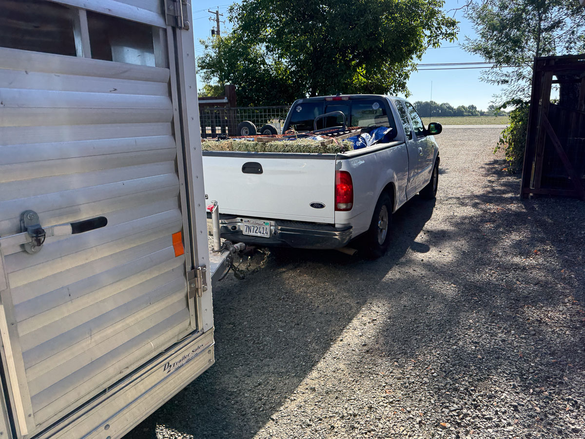
Rear view of white pickup pulling a silver trailer and driving through a gate.

We got on the road at 8:20, planning to get to Albany, Oregon by early evening. We got there about 5:30 and unloaded sheep. FC members Sue and Chris helped unload sheep and get them to pens. It had started raining so Dan and Chris set up the borrowed tent before the rain got worse and Sue and I settled the sheep and put up signs.

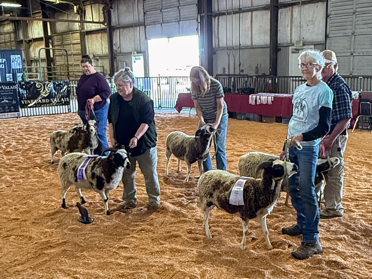
Show ring with 5 people showing Jacob sheep.

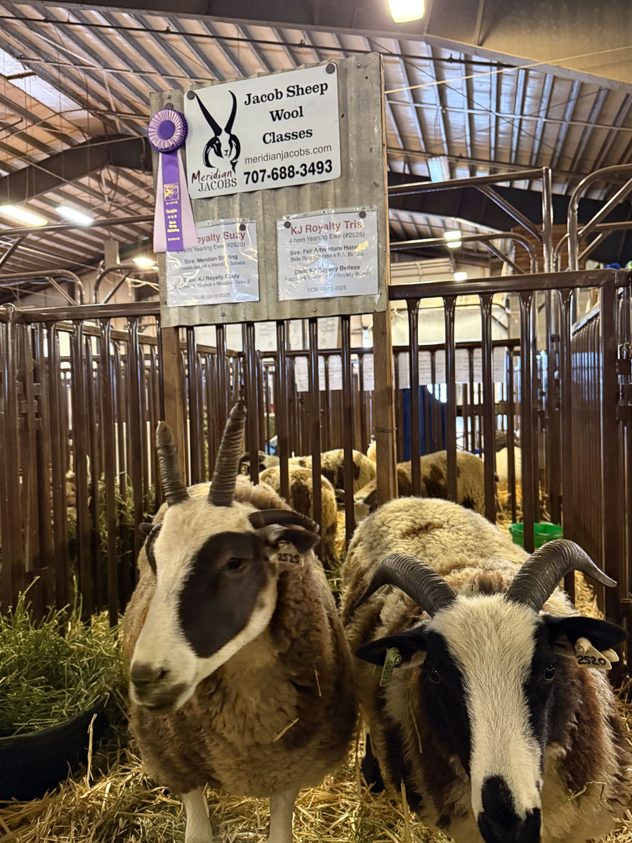
The Jacob division showed Friday morning. There were no other Jacob sheep entered so we went through the motions but showed against ourselves. Our flock actually has two owners. My granddaughter’s sheep are part of the flock, but have a separate owner designation. My sheep are named Meridian ___ and Kirby’s are KJ Royalty ___. This is the finish of the ewe classes with Farm Club members showing sheep. Klara is leading the yearling ewe, KJ Royalty Suzy, who was awarded Champion. The two-year old ewe, Meridian Chloe, was awarded Reserve Champion.

The rams show before the ewes. I didn’t bring a Yearling Ram and we showed four ram lambs, two owned by Kirby, and two by me. One of mine won the class and became Champion.

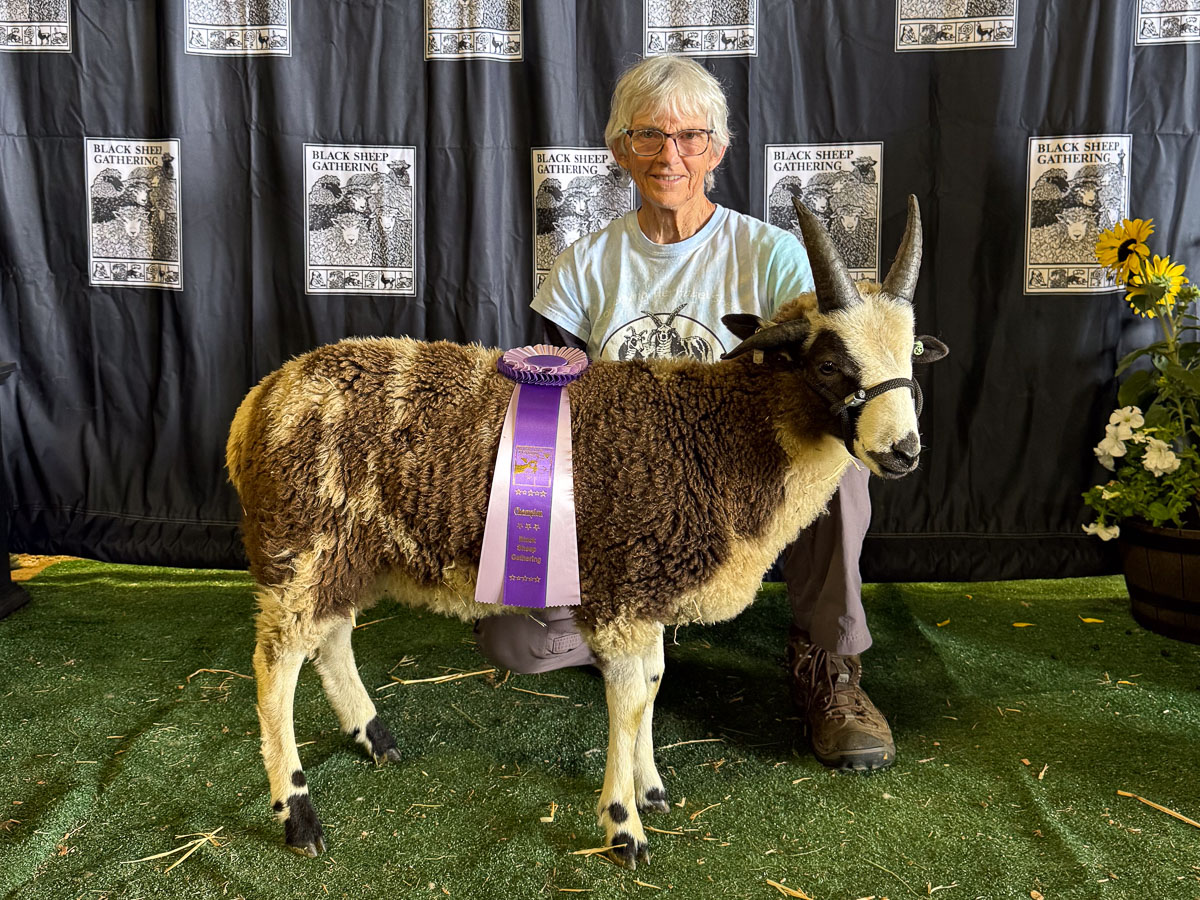
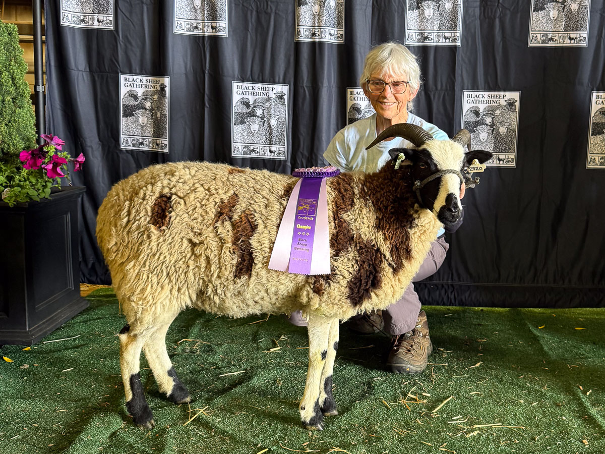
Here is the “official” photo of KJ Royalty Suzy.

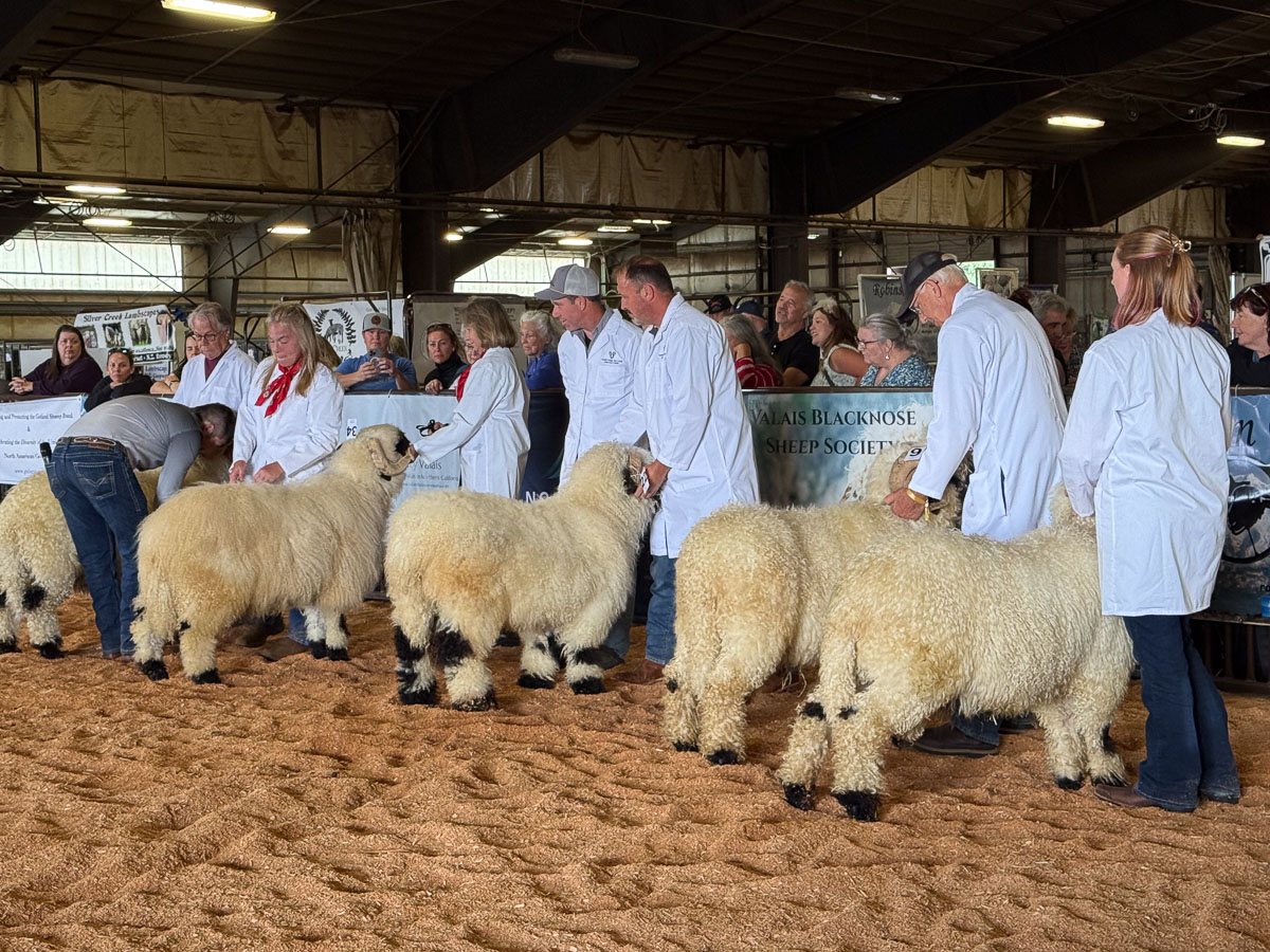
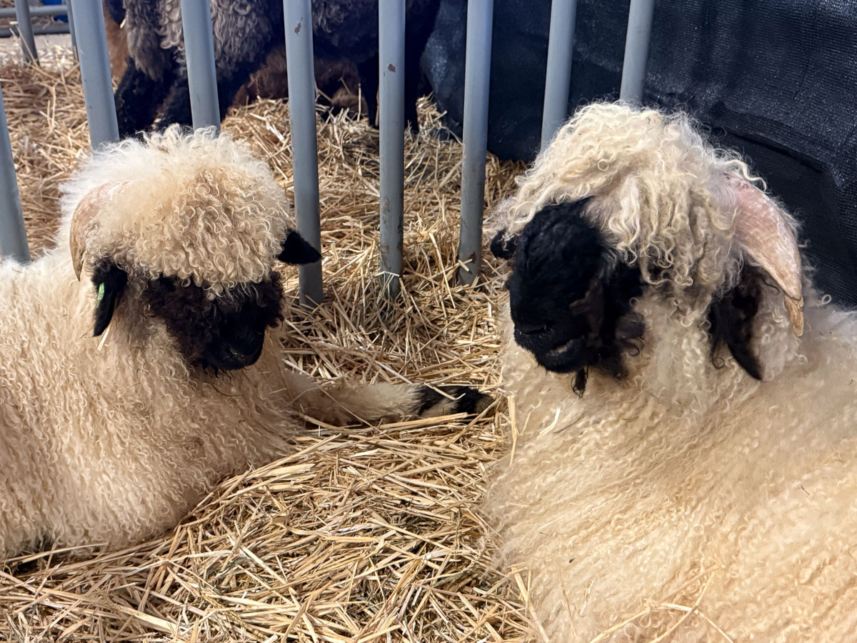
Did we feel outclassed by this group? Not at all. They live in their own world. I just looked up Valais Blacknose Sheep online and see prices from $1800-$25000. Yup, it’s not my world. Black Sheep Gathering hosted a show for one of the Valais organizations so there were a lot of them here.

I can’t imagine caring for these fleeces!

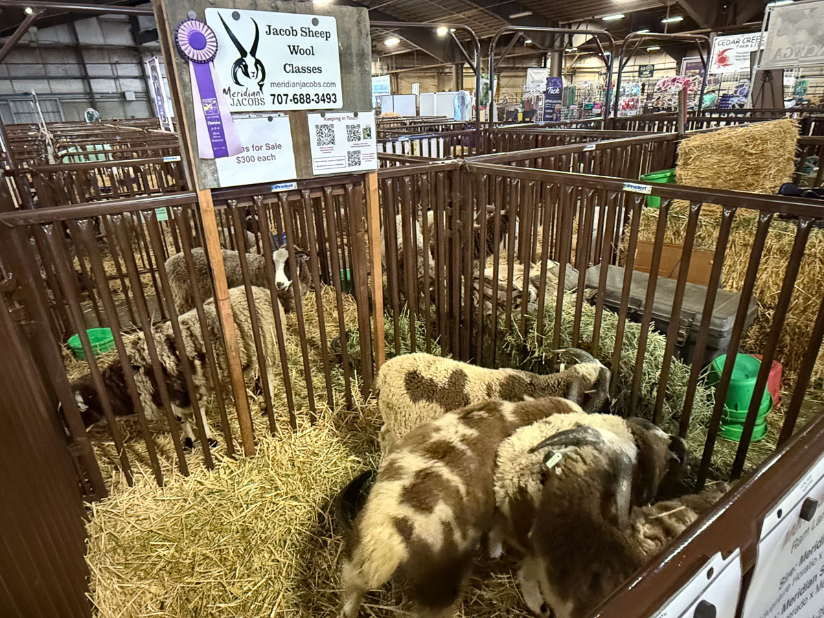
We had 6 pens. One was for tack. The four ram lambs were in this pen.

These are Kirby’s yearling ewes. Three other pens had the two ewe lambs, my two yearling ewes, and the two-year olds. The event was fairly low-key for me this year, but I seemed busy most of the time–mainly trying to make sure I didn’t miss somewhere I was supposed to be, like showing again on Saturday when all the Champion sheep go to the ring at the end of the show, and not missing the wool show and sale.

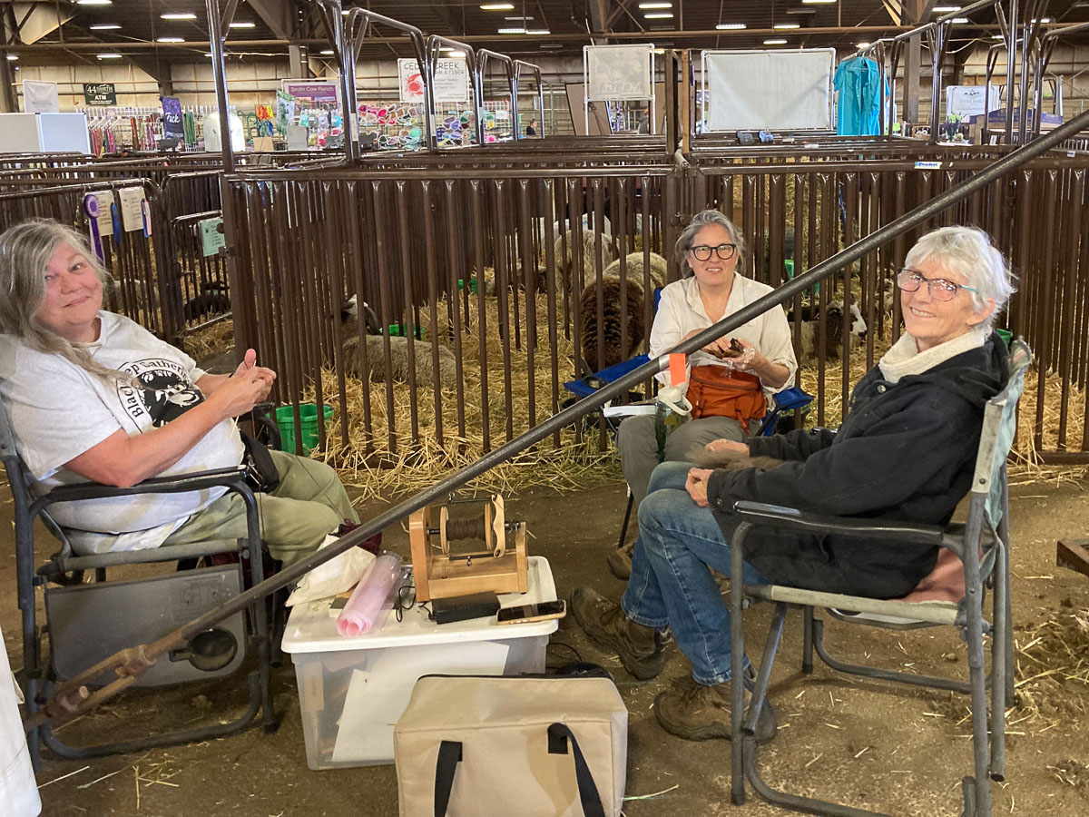
It was great to have Farm Club friends around, and not just for the help. It’s hard to see because the yarn blends is the color of the concrete floor, but I have the Ashford e-spinner and got a little spinning done.

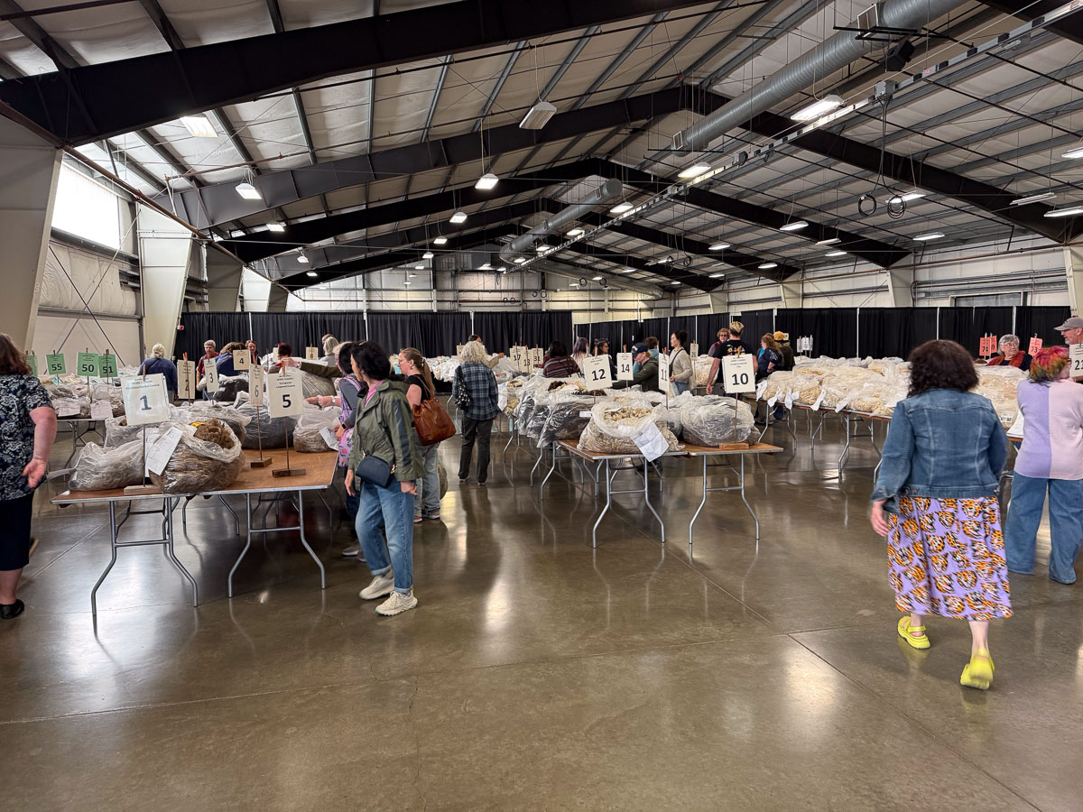
I entered three fleeces in the wool show and got 1st, 2nd, and 4th out of a class of 8 Jacob fleeces. I was able to listen to the judging and hopefully can put the video on YouTube to share it. Haven’t had time yet.

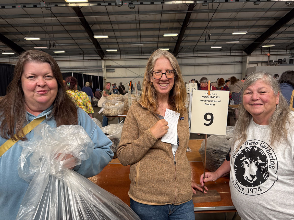
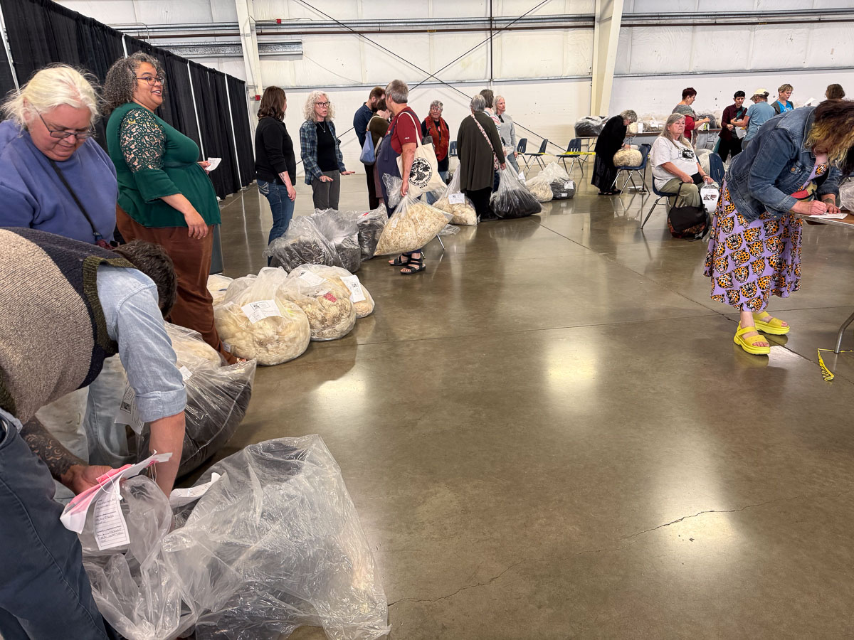
Four of us became the Wool Selection Committee to find a fleece for Rachel who gave us no instruction other than “color” and eventually something about “medium, but I like soft”.

That was something I certainly tried to keep track of. After the Wool Show finishes they make everyone leave while they get organized. Then people are allowed in to look, but asked to leave again while the Not For Sale fleeces are removed.

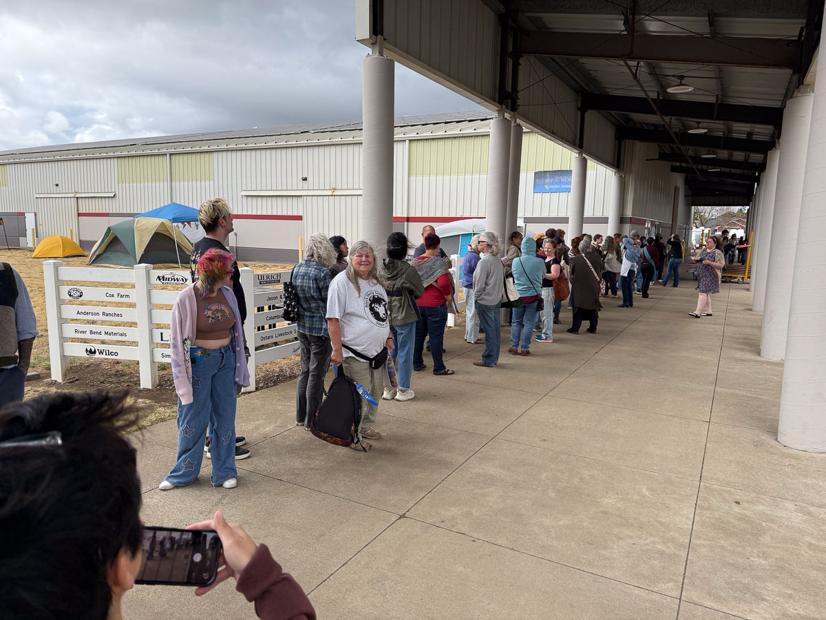
There is a big line for when the doors open for the sale. The four of us went to the tables we had previewed earlier. Then I stood with a hand on a fleece on one table and one of the others stood with a hand on a fleece at another table while the committee consulted and selected one for Rachel.

There was a long line to check out as well. Fortunately Rachel had given us cash and they opened up a cash only line.

Saturday evening was the Spinners’ Lead event and Sparky and I entered. That’s a story for the next post and I think Sparky will have something to say about it too. She will be given access to Rusty’s blog, which hasn’t been used since 2019. She may add to the entertaining stories there.

Road Trip 2025 – Day 7 – Heading Home

We were gone from July 29 to August 4 and I wrote the first blog post about it August 8. I am finally finishing the trip today, September 2, and soon will get back to sheep and weaving posts…hopefully.

Highway stretching out towards desert hills. Blue sky above.

We spent Sunday night at a motel in Green River, Utah. I don’t remember when we got on the road, but this photo was at 8:50 a.m. At this point I don’t remember much about any of the photos I took, but it’s one way I keep myself entertained while being a passenger. Most of these photos were taken in Utah.

Red Rock cliffs with blue sky.

Trinidad is over 1200 miles from Vacaville and we didn’t always take the most direct route. That’s a lot of time in the car. Dan likes the driving part so I am happy to be a passenger. I had taken a dozen magazines and books and a couple of fiber projects to keep myself occupied. I barely looked at any of them. What’s the point of a “road trip” if you don’t experience the road? This scenery is beautiful..

Red rock scenery along highway in Utah.

,,,and vast.

Red rock cliffs along highway in Utah.

We didn’t make many stops so most of these are “drive-by” photos.

Highway in Utah with cement silos along the road.
Sign that says Pony Express National Historic Trail.

We did stop here because this marker was a short distance off the highway. The story of the Pony Express is fascinating but it was only a fragment of our history. The third photo of this blog series back on Day 1 shows one of the stations that were located about every ten miles. That’s a huge undertaking when I think of our drive of over 1200 miles that followed some of the Pony Express route. From the Pony Express National Historic Trail site: “It is hard to believe that young men once rode horses to carry mail from Missouri to California in the unprecedented time of only 10 days. This relay system along the Pony Express National Historic Trail in eight states was the most direct and practical means of east-west communications before the telegraph.”

Utah Salt Flat with salt company.

Driving across the salt flats of Utah.

Utah Salt Flats with mountains in the distance and blue sky.
Highway overpass with art work of cattle and words Battle Mountain.

It seems that this was the last photo I took during the drive. This is 4:30 p.m. Unlike last year’s road trip, we didn’t have vehicle or traffic issues through the whole trip until we got near home. Just west of Sacramento the Causeway (I-80) was narrowing to one west-bound lane for the never ending highway work. We drove in the driveway about 11 p.m.

Map of the western U.S. with green and red marker showing routes from California to Colorado.

The green line is the 2024 road trip and pink is this year.

Road Trip 2025 – Day 6 – Colorado

We were on the way home after the stop inTrinidad Friday and Saturday. We spent Saturday night with Dan’s brother and SIL in Colorado Springs.

Two men and a woman standing in front of a seascape painting.

We had brunch with Dan’s sister, also in Colorado Springs. This is Dan and his two Colorado based siblings, Rob and Sally.

View of the highway where a road turns right. Clouds in a blue sky.

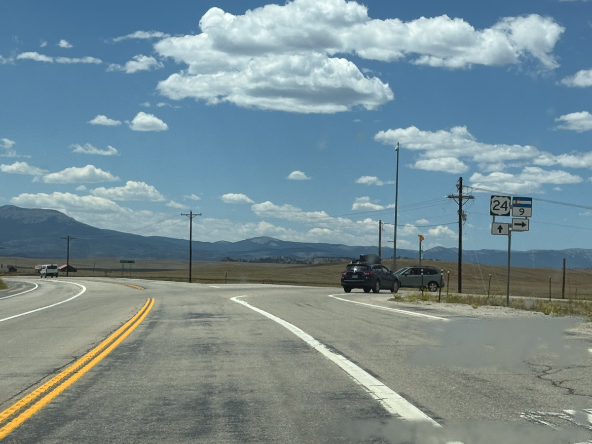
We headed west and planned to turn north to go through Leadville. We had thought about this on last year’s trip, but this intersection (or was it the next?) was blocked due to a fatal accident and we made a big detour. No such problem this time.

Sign about bighorn sheep horns with the title Sheep Shapes.

Somewhere along the road we stopped at this sign. I am interested that bighorn sheep horns are classified based on where the tip of the horn is in relation to the ear and the eye. I wonder if that could apply to Jacob sheep.

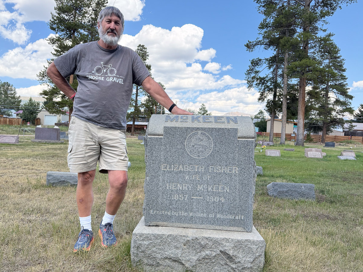
Dan standing next to a gravestone that says McKeen.

When we got to Leadville we stopped at the cemetery to look up Dan’s relatives. This is the headstone for Dan’s great grandparents on his dad’s side.

There was a detour driving into Leadville due to an event and we decided to see what was going on. It was the Boom Days Pack Burro Race!

Text about the Leadville Pack Burro Race.

I have decided that I missed out on an activity that I could have really enjoyed had I been able to start years ago. If you’re going to go on a long run why not take a burro? I would have loved to do this.

Burro at the end of a pack burro race with man in yellow shirt.

We got here as the last few competitors were finishing the course. This burro and his handler, in his late 70s according to the announcer, finished the 15 mile course. Remember, Leadville is at an elevation of over 10,000′.

Burro at the end of the Pack Burro Race with handler in blue hoodie.

This mammoth donkey and his handler finished the 22 mile course. I looked up the rules. Burros must carry the pack saddle with some basic equipment–a pick, shovel, and gold pan. The rules state that the burro must be on a 15′ lead and “the runner may lead, drive, push, pull, or carry the burro…may not ride the burro…”

Head view of burro with green halter and handler with blue sweatshirt.

This burro seemed to enjoy being petted after the race.

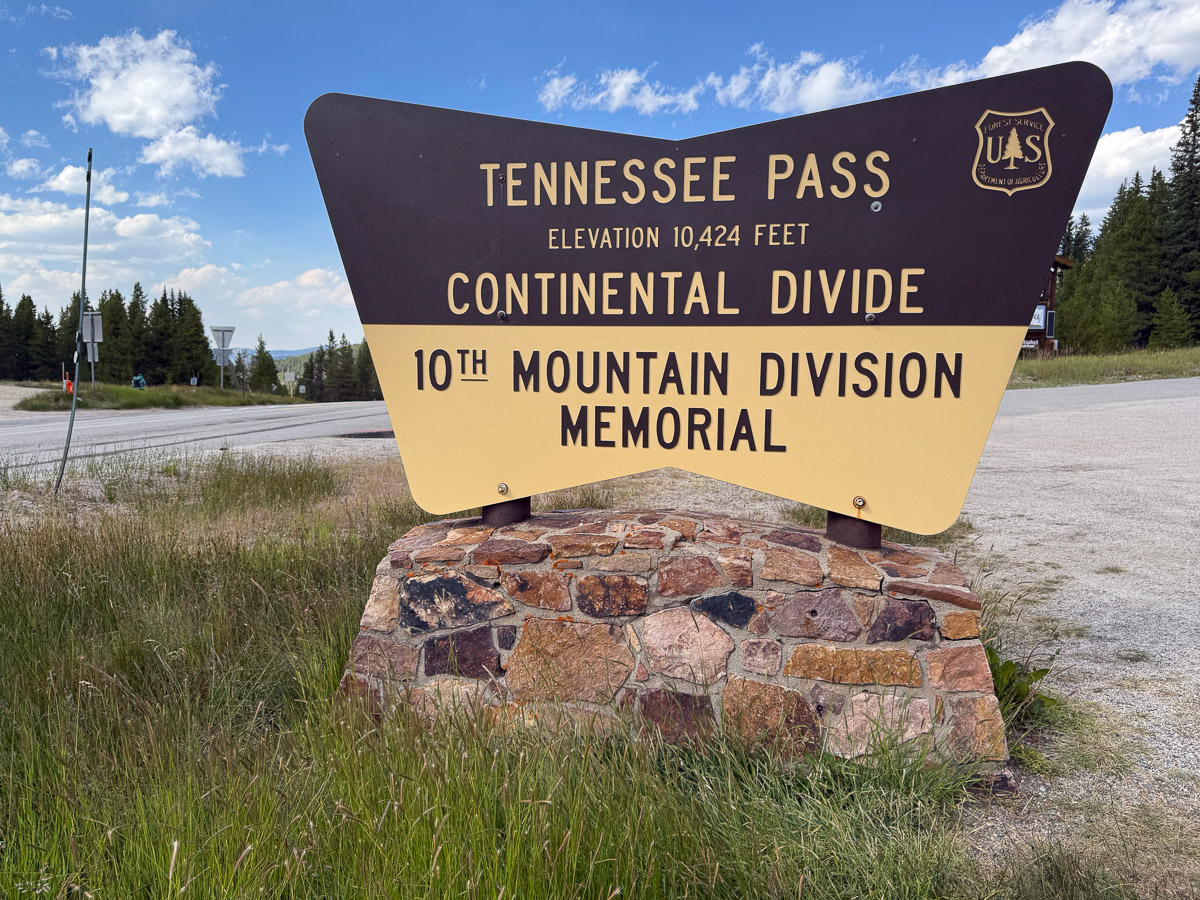
Sign that says Tennessee Pass on the Continental Divide.

We continued west on Hwy. 24 and stopped at the points of interest.

The story of the 10th Mountain Division and their impact in WW2 is fascinating. It is also interesting that well known ski resorts in Vail and Aspen were started by veterans of this regiment and many were also involved in manufacturing of ski equipment and clothing, trail development, and developing skiing for the disabled.

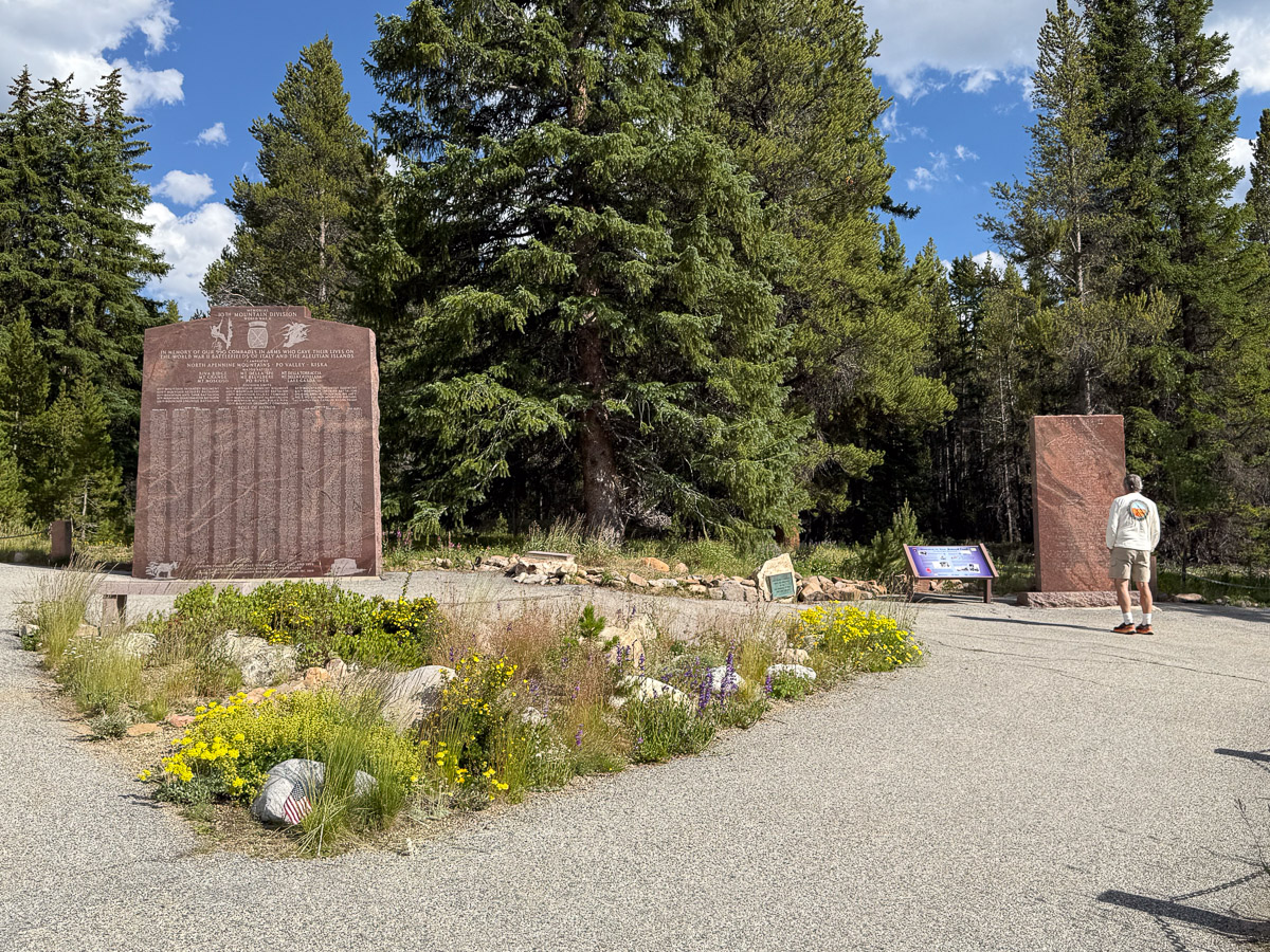
Large granite pillars that make uptime 10th Mountain Division Memorial.

The memorial for the 10th Mountain Division.

Sign for Camp Hale National Monument on the Continental Divide. Mountains and trees in the background.

Camp Hale is 7 miles beyond the Memorial site. I’d like to return to explore the trails of this National Monument .

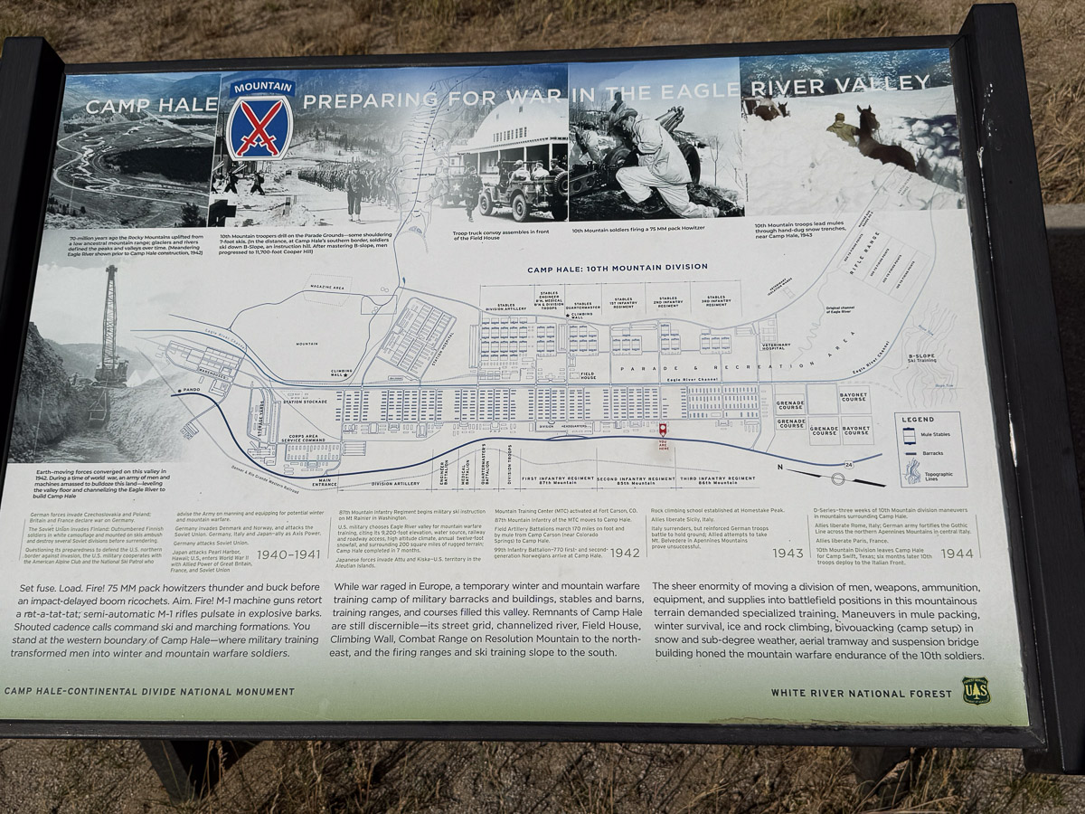
Sign about Camp Hale that shows the footprint of all the buildings that used to be there.

There were several signs to explain and point out the remnants of Camp Hale. It is hard to imagine 15000 soldiers and 5000 pack mules and horses in this valley. We read the signs and pondered the impact of this Camp. Then it was time to move on.

Highway winding through mountains on either side.

We drove through some beautiful scenery, eventually making it to Green River, Utah where we spent the night.

Road Trip 2025 – Day 4, Part 2

In the last blog post I shared photos of a brief stop at a corner of Black Canyon of the Gunnison National Park. Then we were on the road to Trinidad. We had time for one more stop.

Colorado grassland with mountains in the background.

We turned south off of I-50 on Hwy. 69, east on Hwy. 96, and south on 165 to find Bishop Castle. We had never heard of Bishop Castle, but the campground host at Bryce Canyon suggested a stop here.

We parked along the road and walked past other cars on the road to this entrance. This is not part of the castle, but the entryway to the property.

This sign is at the right of the entryway. I guess this is enough to limit any liability claimed by visitors.

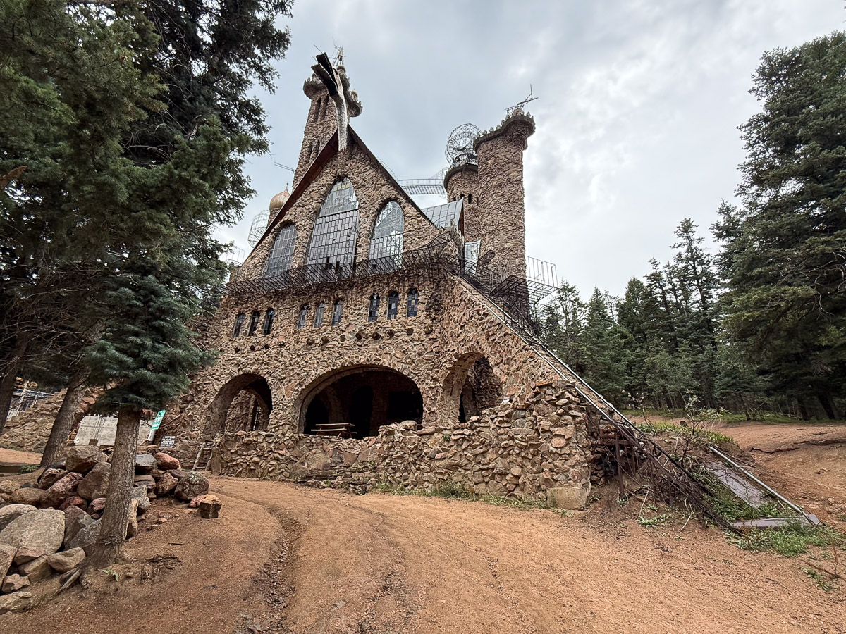
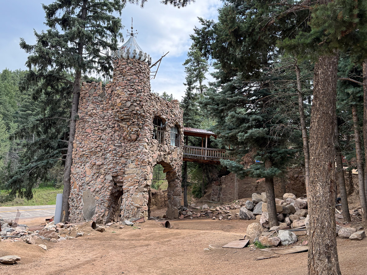
View of one portion of the castle. This project was started by Jim Bishop in 1969 and was a work in progress until he died in 2024. Wikipedia says: “James Roland “Jim” Bishop was born in Honolulu in 1944.[6] He moved to Colorado with his wife, where they raised four children, including a son named Dan.[6] Bishop bought the land for the site for $450 when he was 15, and construction on what was originally intended to be a family project to build a cottage[7]started in 1969.[8] After Bishop surrounded the cottage with rocks, several neighbors noted that the structure looked something like a castle. Bishop took this into consideration and soon began building his castle.“

View from another corner. It’s hard to get the whole thing in one shot. The tower is 160 feet tall.

The property is owned by the family and, despite the warning posted, they seem to welcome visitors. There is a gift shop on site as well as a food truck.

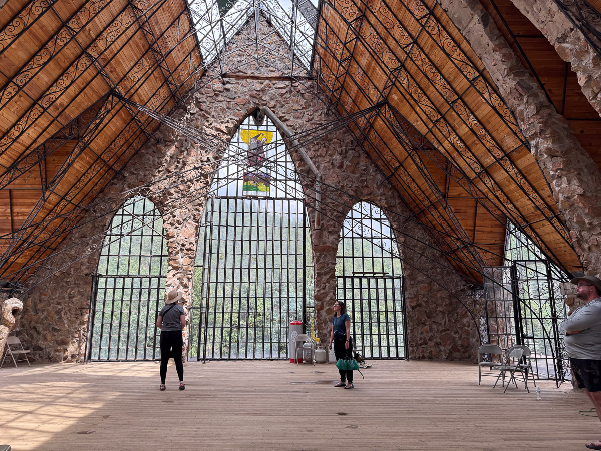
We did not take the winding stairs on the outside or the inside all the way to the top, but we stopped here.

I saw on Instagram that the dragon breathed fire on July 4th and on Halloween.

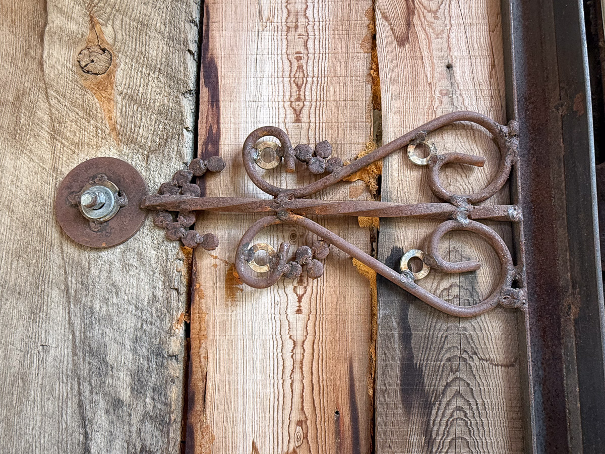
Interesting detail.

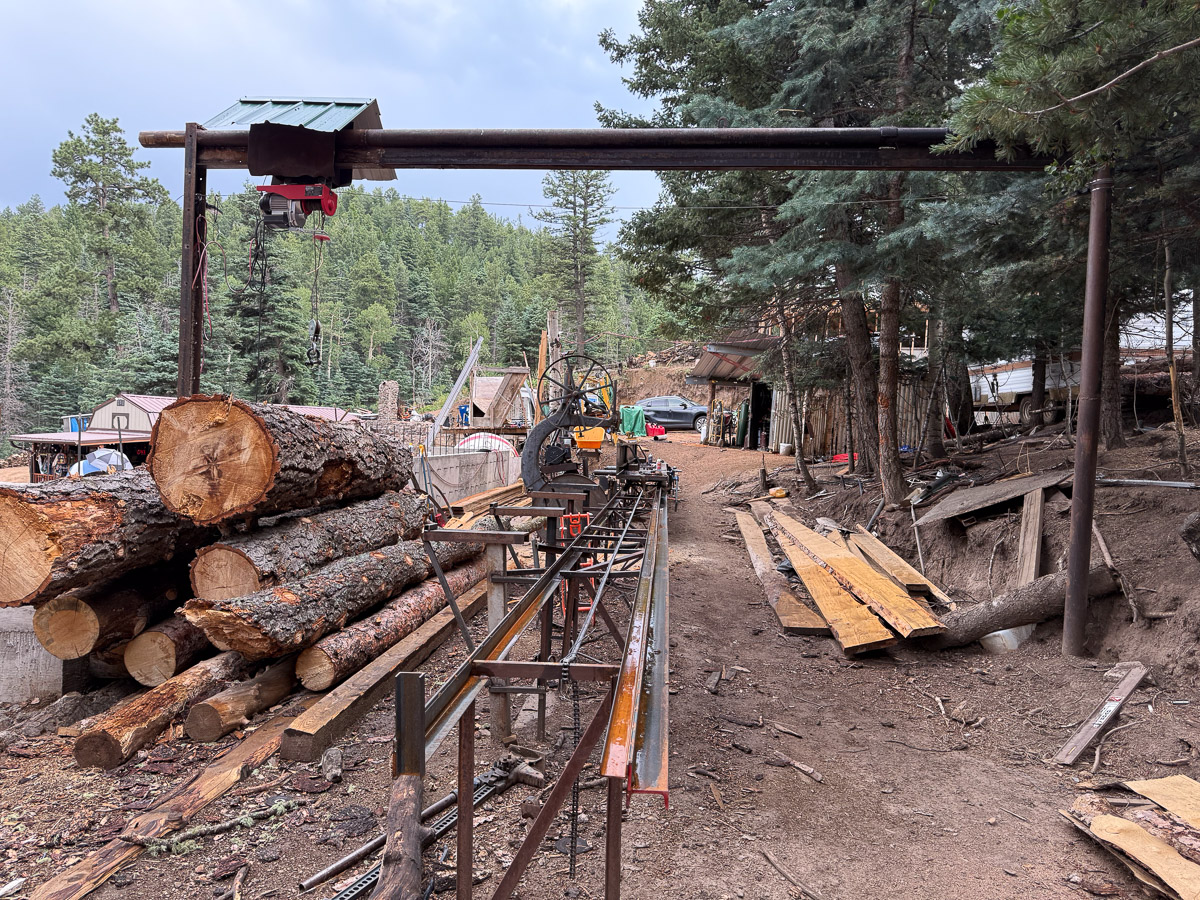
Near the castle are the workspaces where lumber is milled and metal worked.

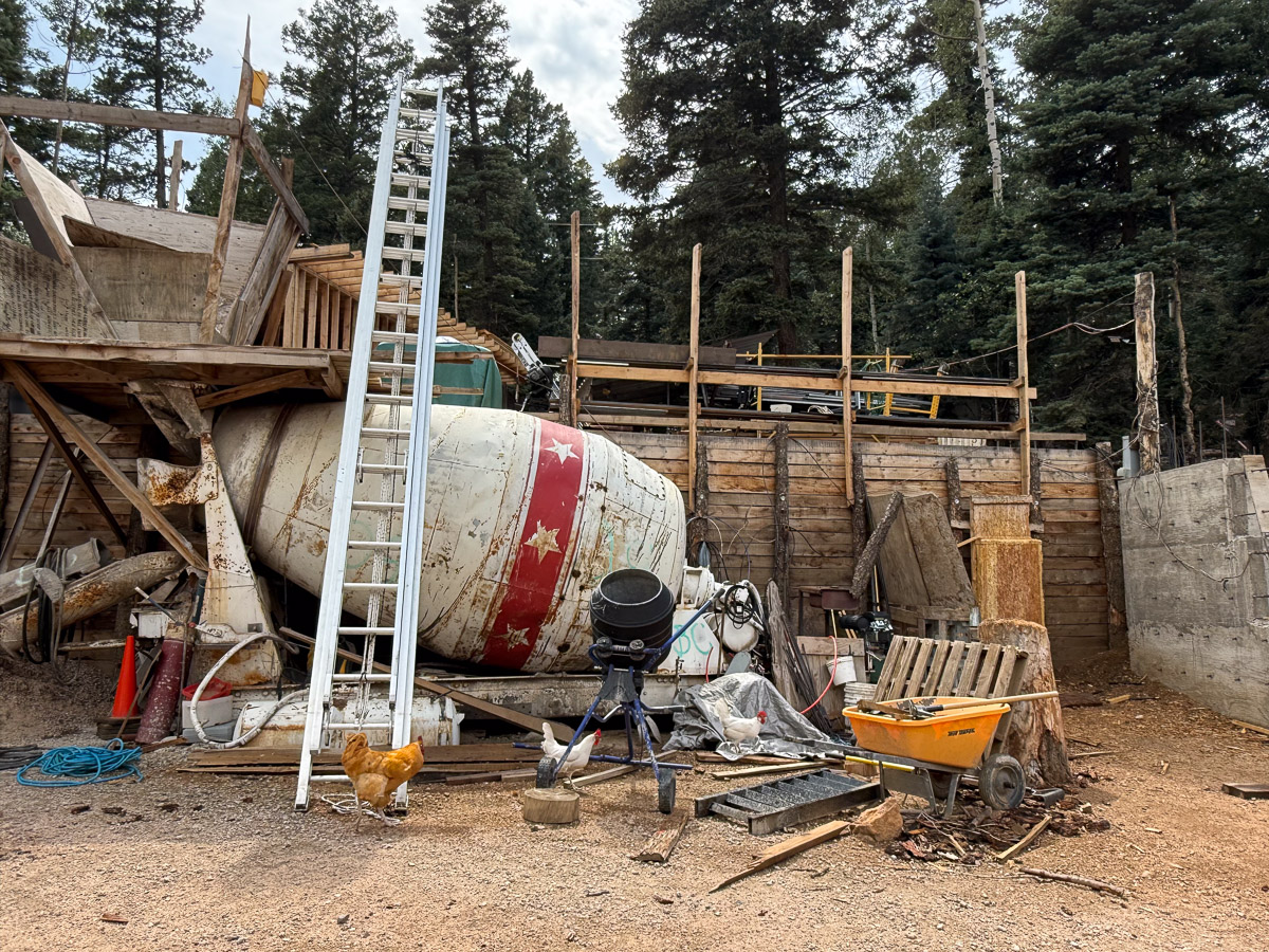
There is also a small cement mixer.

This is the backside of the entrance in the first photo. Bishop Castle is an interesting place to visit. Dan came home with ideas!

Road Trip 2025 – Day 3

I left off in the last post when we arrived at Bryce Canyon and secured the last tent campsite in the park.

After looking over the landscape from the rim that evening Dan studied the park map and planned a hike. We started at the Queen’s Garden Trail, so called because of one of the hoodoos that looks like a statue of Queen Victoria.

We followed the trail down, which gave a different perspective than the view from the rim.

We came across a sign that explained the Hike the Hoodoos Challenge. If you photograph yourself with three of the benchmarks along these trails you get a prize! We found four. The prize is a sticker from the visitor center.

I took over 175 photos on this day and that’s one reason it’s taken me so long to write this post. I try to keep my blog posts to ten photos or fewer and that means a lot of sorting and decisions. I still didn’t meet that goal.

Two perspectives of the same formation (photo above and below).

The Queen’s Garden Trail led to the Peek-A-Boo Trail which connected with the Navajo Loop, part of which is what they have named Wall Street (below).

Its difficult to show how amazing this formation is.

This view is looking back towards the path with the stairs, through that slot and past the tree growing in the slot. There were a lot of people on this part of the trail. Look at what I just learned how to do:

I use Lightroom to edit photos and I was just able to remove all the people from this photo. That’s a great thing for ending up with pleasing photos, but it does make me realize that you can’t believe everything you see in print (or online).

A non-edited photo in which you get a feel for the scale of this place because I did not remove the people. .

View from the top after we finished the hike. You can see some of the trails–along a ridge in the center, and just below center on the left.

We hiked about 7 miles. That was significant because this is the first time Dan has hiked in a year and a half, after a knee injury in 2023. He’s had a new knee for just under four months!

Two other thoughts: 1. We stayed on the trails. I found myself wondering how many other formations there are like that slot canyon called Wall Street. 2. In this photo, what looks like clouds, is smoke, probably from the fire burning at the Grand Canyon. I’ve been following the progress of the fires because my kids’ involvement in wild land fire fighting.

Road Trip – 2025 – Day 2

We left home Tuesday morning and I shared photos in this post. It was getting late in the day when we got gas in Ely, Nevada and we took time to look at the map. We found a place to camp in the Ward Mountain Recreation Area a few miles out of town.

Campsite with picnic table in the middle. Juniper trees are around a brown tent and the car is parked in the front.

Here is the campsite in the morning. Dan was still in the tent.

High desert two-track road with sagebrush and juniper trees on the sides. Sun is shining on a mountain in the background.

I went for a walk as the sun was coming up.

Roadside sign that says Welcome to Utah.

We packed up and got to Utah about 9:30.

Sign describing the aerial tramway used by mining in Pioche Utah.

We got off the main highway to drive the original road through the mining town of Pioche. This sign describes the tramway, the remnants of which are still here on the east side of the road.

Remnants of the aerial tramway used by mines in Pioche Utah.

This is the tramway that facilitated movement of ore from higher up the mountain (behind us) to the valley below.

Remnants of ore tramway showing cart that carried ore down the mountain.

This is a closer view showing the cogs that held the chain or cable that carried the buckets. The structure that is on the horizon towards the left of the photo is one of the buckets still on the cable.

Our first stop where we planned to spend some time was Cedar Breaks National Monument. We checked out the visitor center first and then went for a hike.

Circular formation of rock layers in red tones at Cedar Breaks. Blue sky overhead.

All the views of the breaks are incredible. Do you notice that light spot just right of center on the bottom of the photo. It sure looked like a rock for the longest time.

Then I saw it for what it was – a hole through that wall. I still see it as a boulder part of the time.

Layers of red rock across the canyon at Cedar Breaks. Other colors are almost white to purple.

Closer up view showing the colors in the rock walls.

Marmot holding stem of plant with white flowers.

Marmot along the trail.

View of red rock layers across the canyon at Cedar Breaks National Monument.

View of the ridge where we had been walking.

Horseback rider on palomino horse with dog following and flock of sheep in the background.

We left Cedar Breaks to get to Bryce Canyon before night. Flock of sheep and their herder along the road.

Road Trip 2025 – Day 1

Except for some of the pandemic years we’ve taken a road trip each year since 2014. That’s when I see a trip to Yellowstone in my blog posts. There were a couple of years more recently where the road trip became a sheep themed trip. That’s different. It’s hard to stop for a hike when you have a trailer load of sheep. So this was planned to be a regular road trip. The major difference is that after last year’s trip the green truck is no longer an option for our travel. It was easy to crawl in the back of the truck for sleeping, but we’d need a tent this year if we were going to camp.

We began the trip on Tuesday, July 29.

View from inside the car with map books for Nevada, Utah, and Colorado visible.

The only part of the trip we had planned was to be in Trinidad, Colorado Friday night and Saturday for the opening of the art show sponsored by Cowgirl Artists of American. Other than that we were going to figure it out as we went along.

High desert with blue sky and white clouds. Sign that says Sand Springs on the left.

We were following Highway 50 and our first stop was along the Pony Express National Historical Trail. The Pony Express operated for only 18 months before being made obsolete in 1861 by the telegraph. But in that time young men traveled on horseback 1800 miles in about ten days. Stations were about 10 miles apart and there are remnants of some of these along the route.

Black lava rock remnants of the old Penny Express station in this area.

This station probably started with two rooms but additional rooms added as the telegraph came in. The site had been completely covered with sand and was rediscovered in 1975.

High desert with green grass in foreground, blue sky with a big white cloud, and a sand dune in the middle.

This site is part of the Sand Mountain Recreation area managed by BLM, featuring 3-1/2 mile long Sand Mountain.

Sand dune with blue sky and white cloud to the side.

This is a popular OHV destination.

Continuing on through Nevada.

High desert with mountains in the background and also clothes so sheer I have seen. Sign that says Petroglyphs.

We stopped at this Petroglyph site…

…and walked the trail to find some of the petroglyphs.

It was late in the day when we drove into Ely, Nevada. This open pit copper mine is west of Ely. We found a place to camp in the mountains just west of town.

Michigan – Days 3-4-5

I wrote about Day 1-2 in this post.

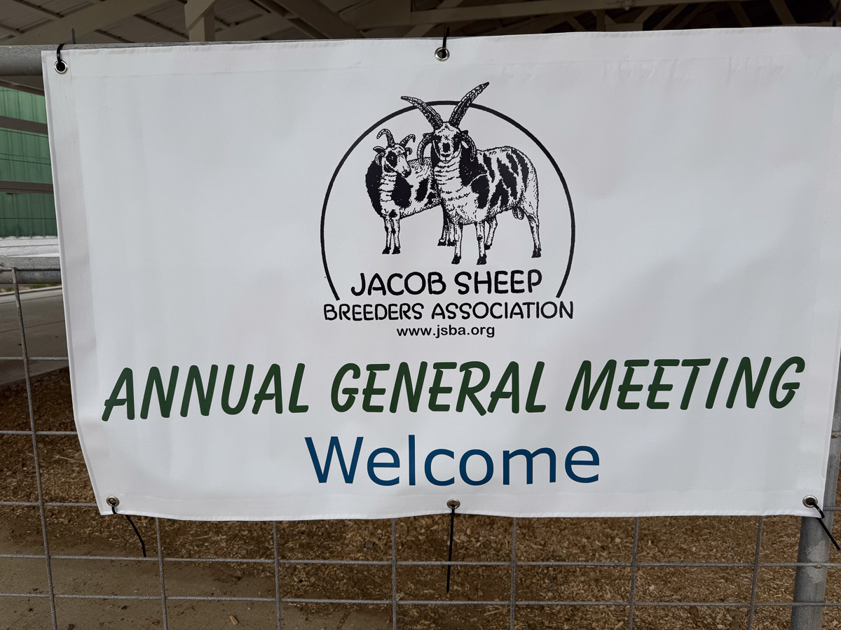
Sign with JSBS logo that says Annual General Meeting

I got to Michigan on Wednesday. The Annual General Meeting began on Friday.

Handwritten sign to Sheep Barn on a bale of straw.

The meeting was held at the Branch County Fairgrounds in Coldwater, Michigan. First stop was the sheep barn.

Old walking wheel outside the sheep barn with flowers in front.

This old spinning wheel was outside the barn.

Sheep pens in a barn with dozens of Jacob sheep.

It was sure fun to see this many Jacob sheep from different breeders in one place.

Jacob ewe in sheep pen

Notice the ear tags including a CA scrapie tag. This is Meridian Saffron who I sold to a fellow Jacob breeder in 2018. I was able to get her to the Maryland Sheep and Wool Festival that year. I just found the blog post about that. I wish I could have participated in some of the fun at AGM–that is buying and selling sheep–not possible when I’m flying.

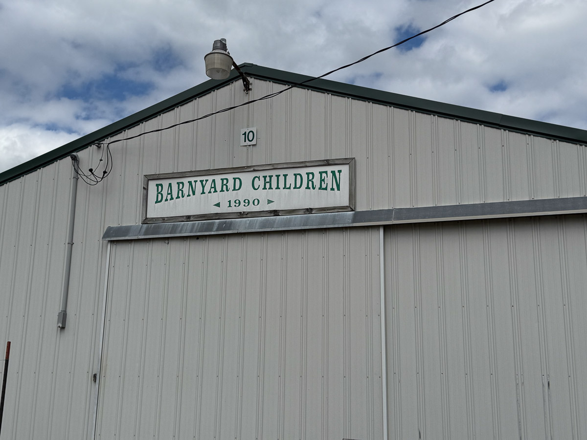
Front of barn with sign that says Barnyard Children.

There are several barns at this fairgrounds. They are labeled sheep, cattle, horses, etc. I was amused by this sign.

Fleeces in bags at wool show with blue and red ribbons.

A wool show was one of the activities at this meeting. Another activity was the sheep show. I don’t have photos of that because I was a judge. I said I’d do it with a partner, not by myself. That was a challenge. I got good feedback, but I don’t want to do it again. Too much stress and it’s difficult to place 10 sheep in a class when they all look pretty good. Fortunately we needed to place only the first four sheep in each class.

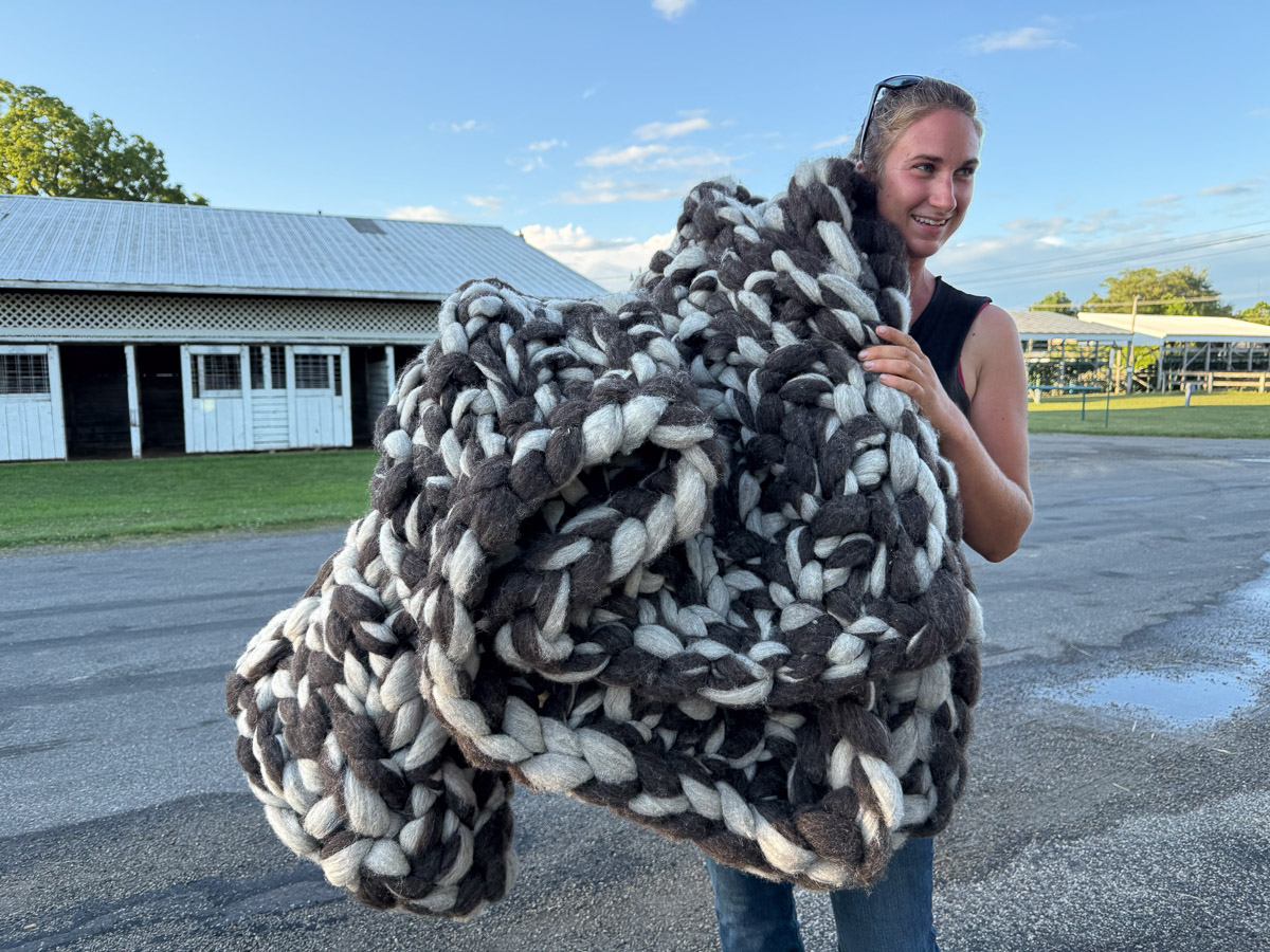
Woman with large blanket knitted with gray and white roving.

One of the participants showed me her “arm-knit” blanket made of roving. It weighs 14 pounds!

Text on slide about mutation causing lilac coloring in Jacob sheep

The presentation I was most interested in was that by Gary Anderson about the study being conducted about lilac Jacobs. Gary showed this slide from a 1995 (I think) paper and noted that they said “the causative mutation” instead of “a”. I think I have written a blog post about the current study in which he involved, but I’m not looking for it now. I’m at the gate for my flight home and want to finish this before we board. I did find this post that is related to the study because of the sheep involved I may have to write more later.

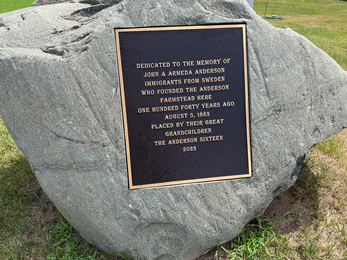
Plaque on large rock about the Anderson Farm in Michigan.

Sunday morning I helped with some sheep loading and a little clean up. Then I got a ride with Gary to his farm in Sparta. My flight wasn’t leaving until 7:30 p.m. so Gary gave me a tour of the area. This is a plaque in place at his original family farm.

Large red barn with two silos  on green hillside .

The gorgeous barn at that farm.