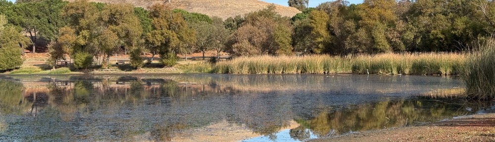
The last three years I went on a hike on my birthday. Dan, my brother (Dave), and I went to Mt. Diablo in 2025. It was also Dan and Dave for Lynch Canyon in 2024. Matt and I hiked in El Dorado NF in 2023. I wanted to go somewhere this year too. Dan’s feet are bothering him, so he begged off the hike and spent his time on the tractor doing work that needs to be done before the forecast El Niño.
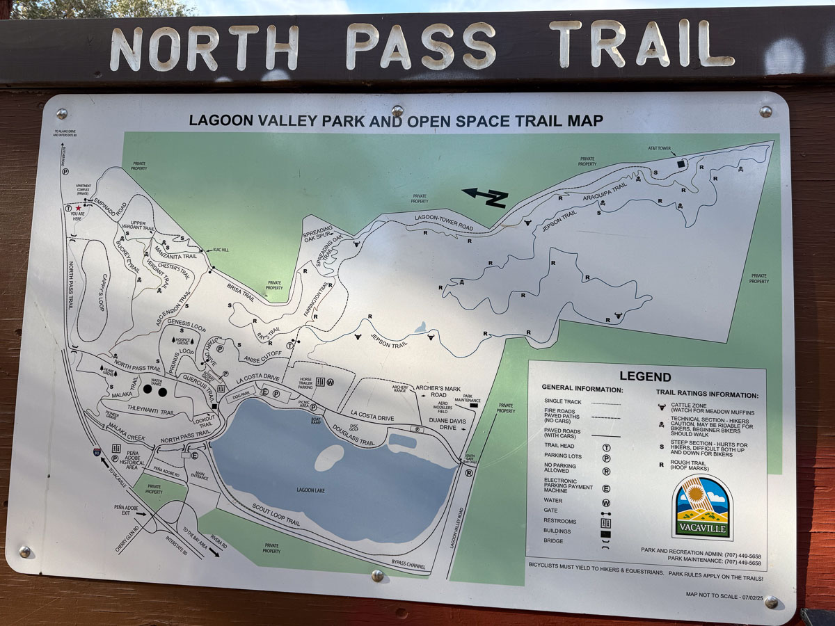
Dave suggested Lagoon Valley and the surrounding open space, because we would not have to spend much time driving and he is very familiar with the trails. I had never explored those trails although we pass Lagoon Valley anytime we drive on I-80 west of Vacaville.
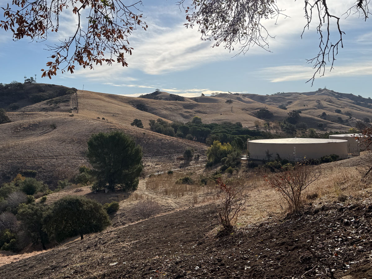
It is hard to see. but there are cell towers on three of those hills. We walked to two of them, but first we headed towards the lake.
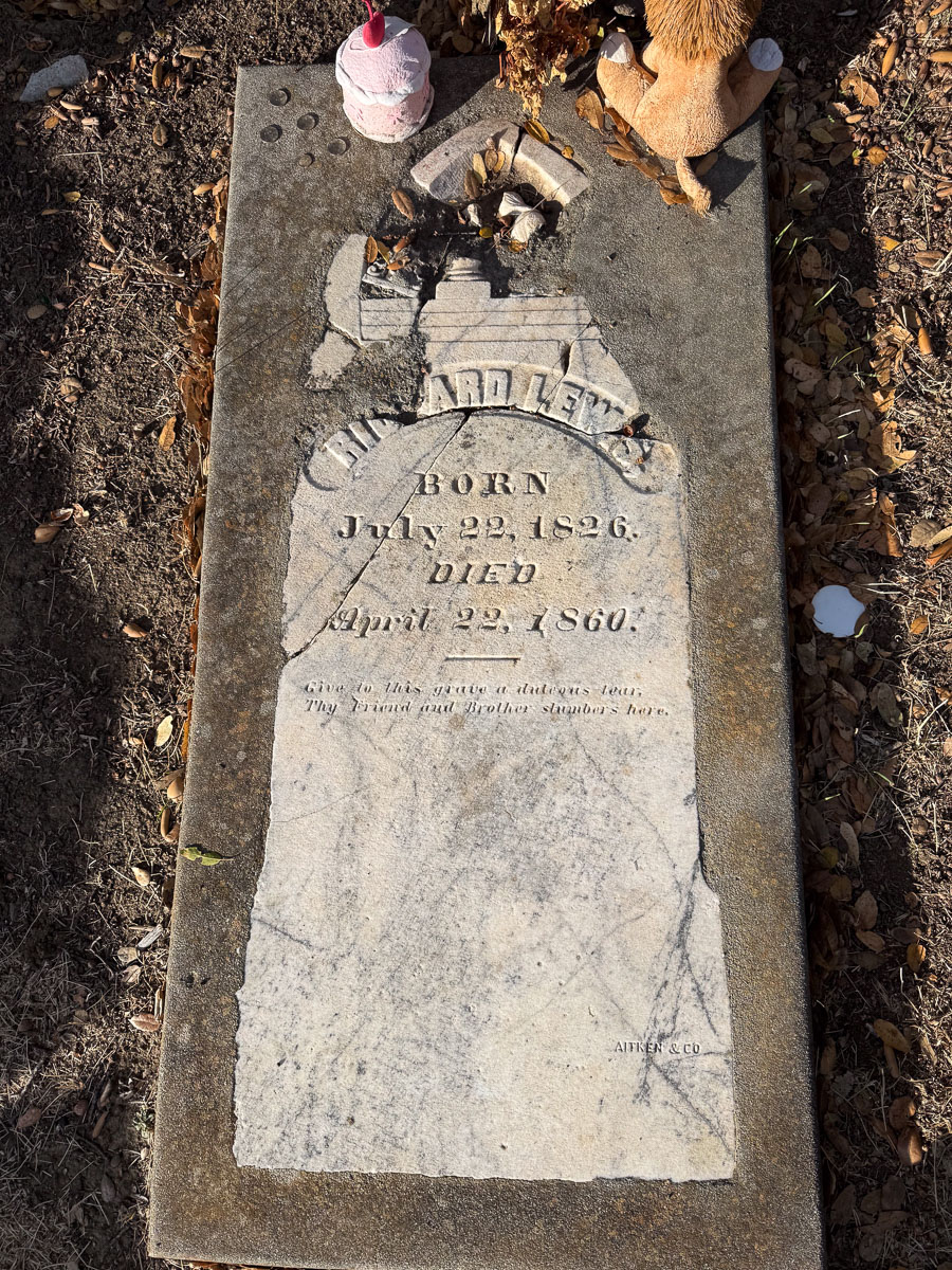
On the way there is a grave surrounded by a crumbling stone wall. There is a sign with QR code that links to a video in which the speaker explains that there are other burials in the area but they are not publicly recognized to avoid vandalism. This marker was broken and parts removed, but now is surrounded by concrete to preserve what is left.
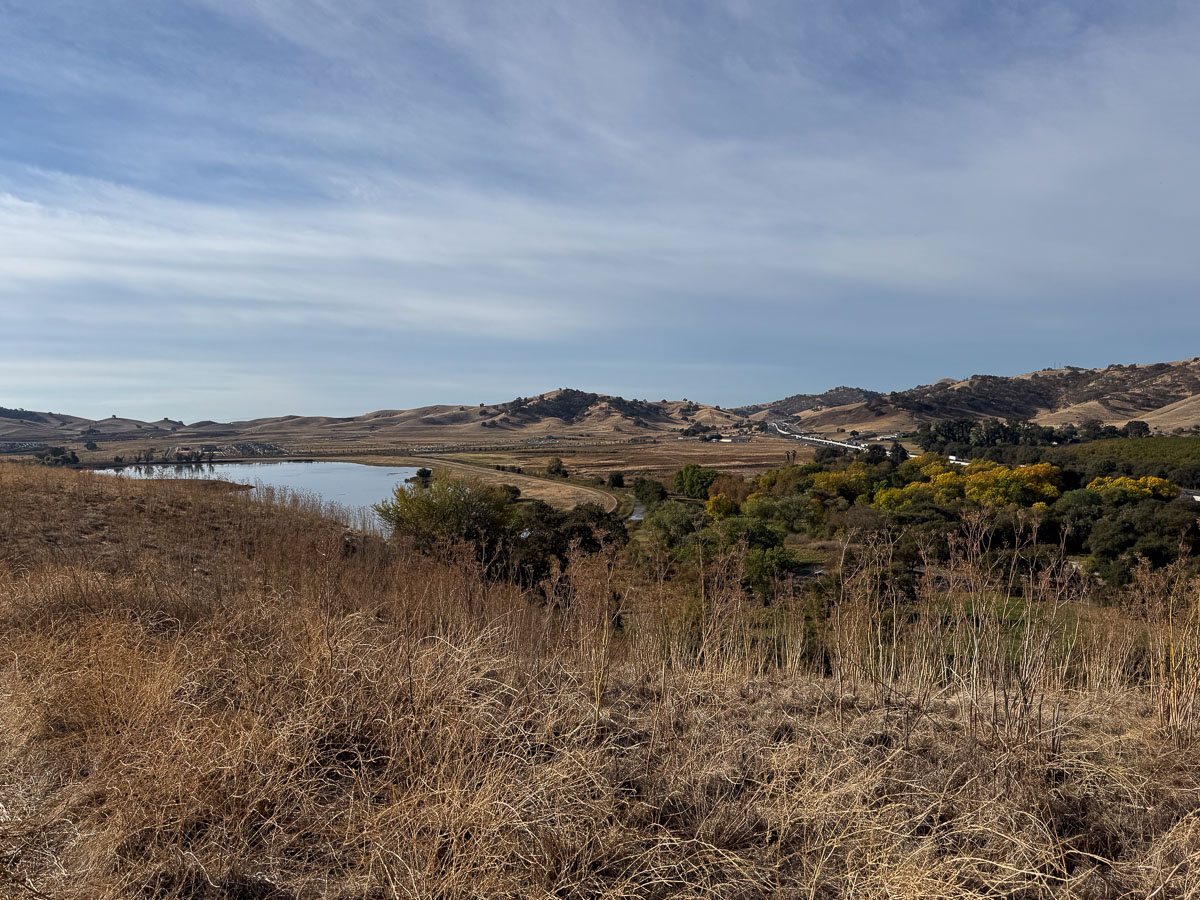
A view of Lagoon Valley Reservoir.
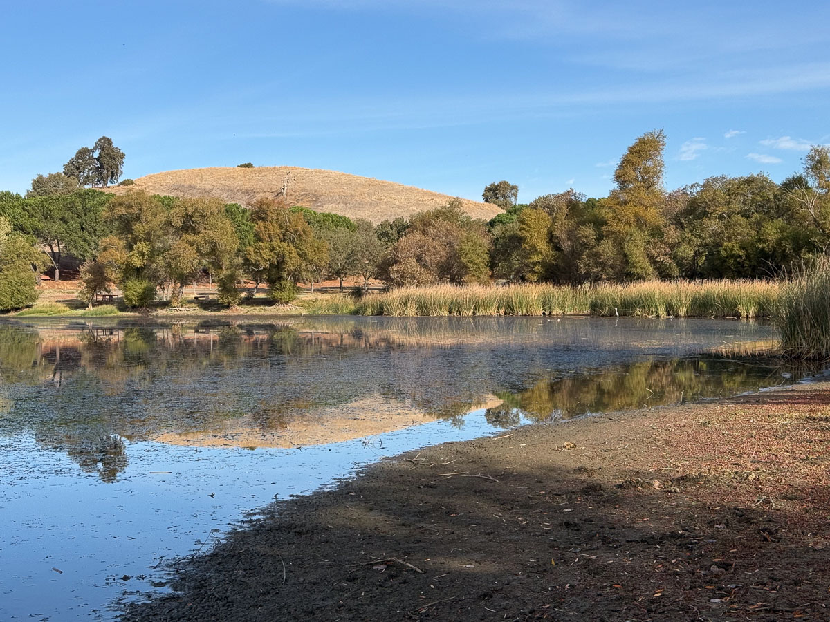
We walked around the lake first to see how many birds we could identify.
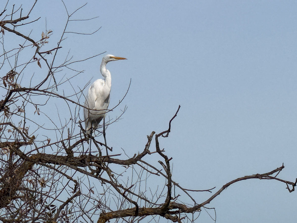
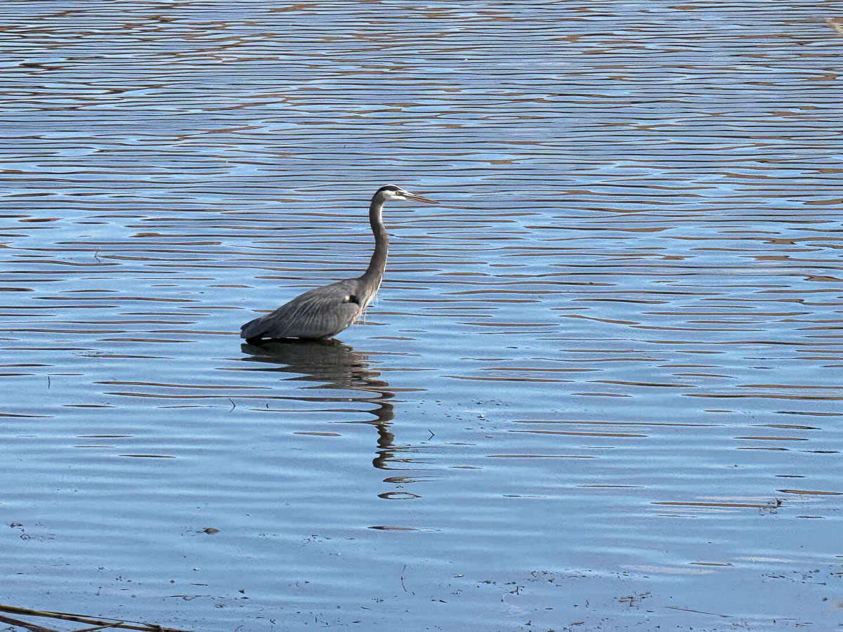
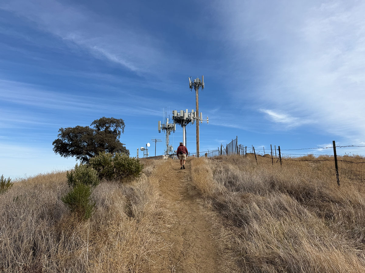
Then we headed for the hills.
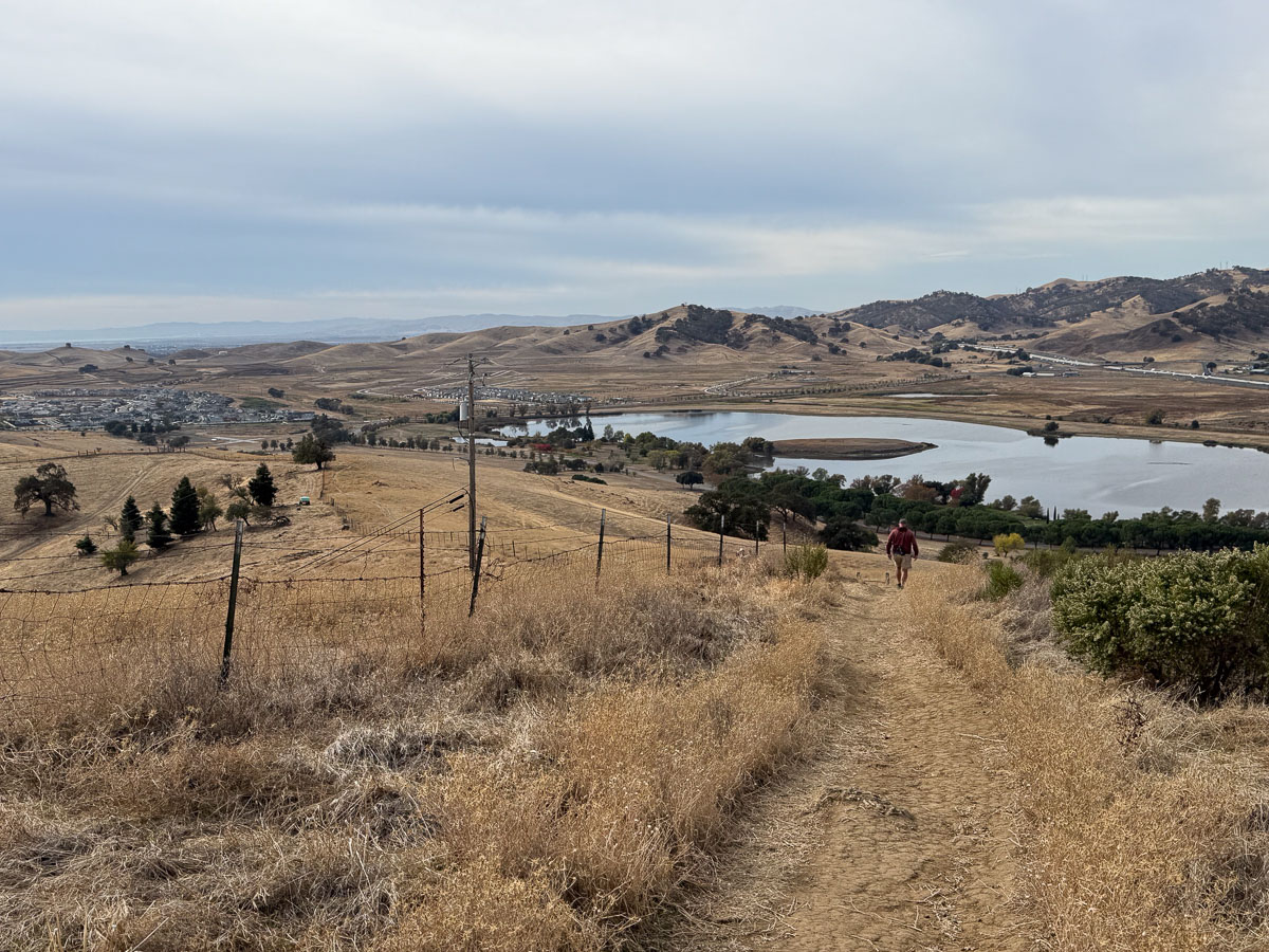
View looking back down on the lake. The white line below the hills on the right is I-80.
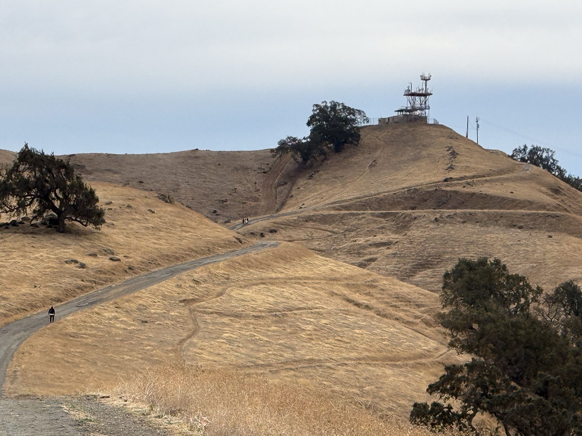
This is the next tower we visited. The point of the hike is, of course, not visiting cell towers, but to get to the top of the hill.
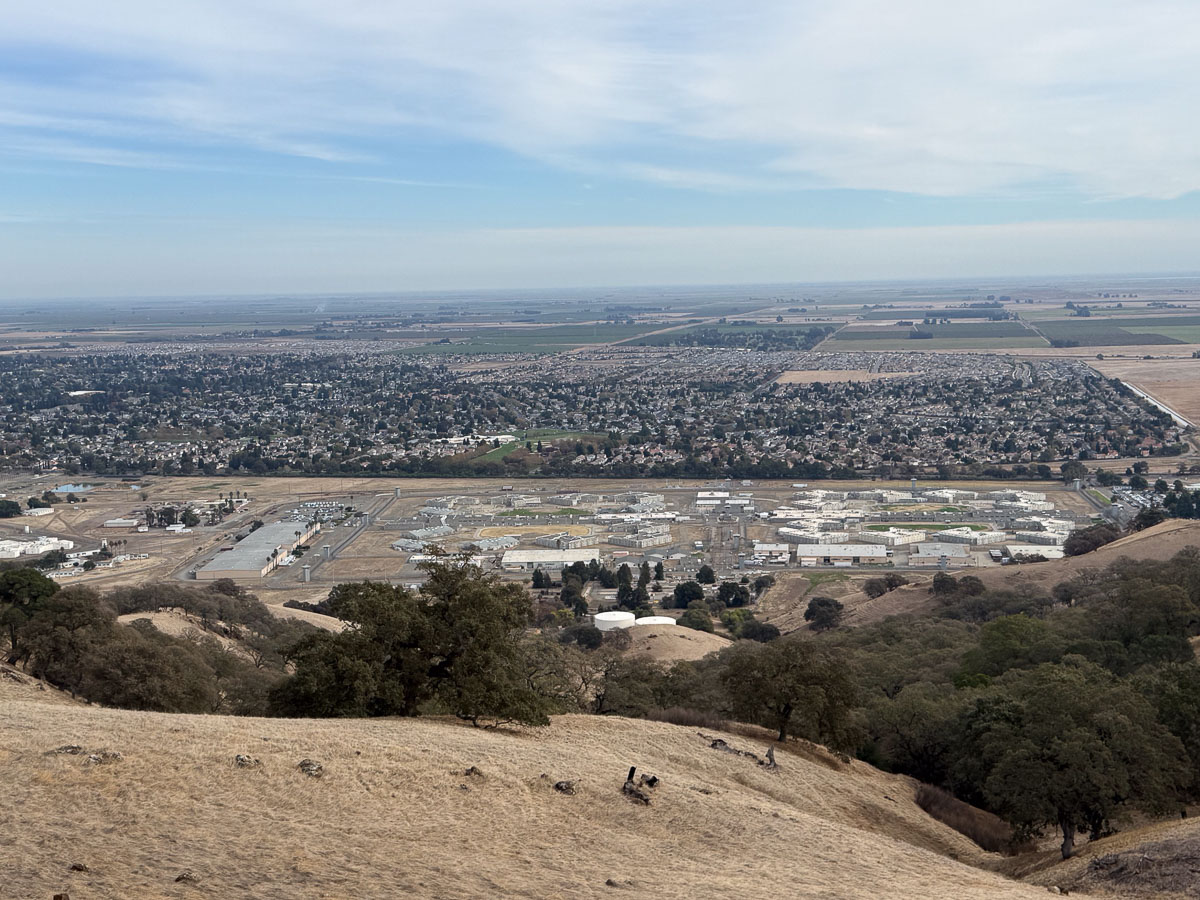
This is the view from that high point. That’s the State Prison in the foreground.
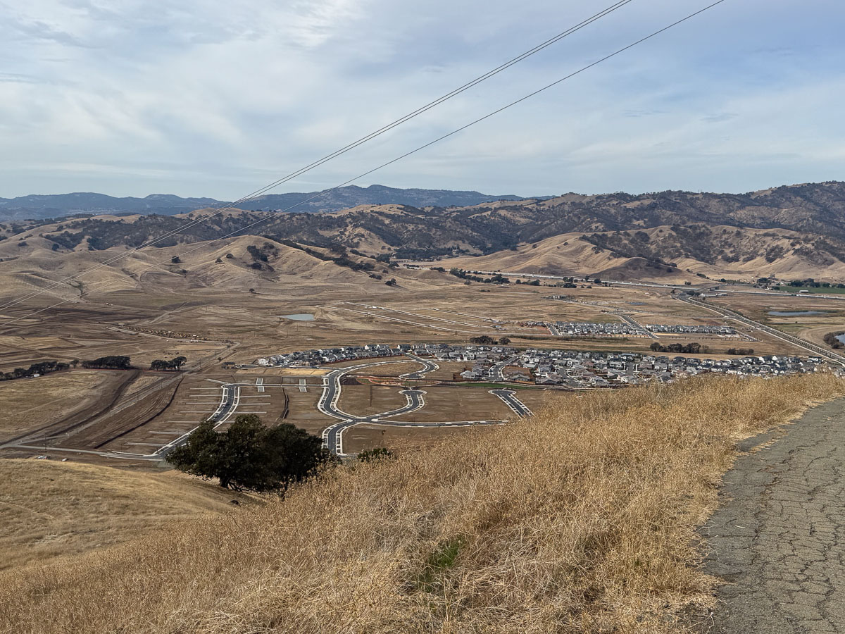
Heading back down the trail we had views of the new housing developments that are filling the valley. The map in the first photo shows private land south of the reservoir. It was open space until just a couple of years ago and is being destroyed (developed) quickly. That’s discouraging, but we can still enjoy the remaining land.
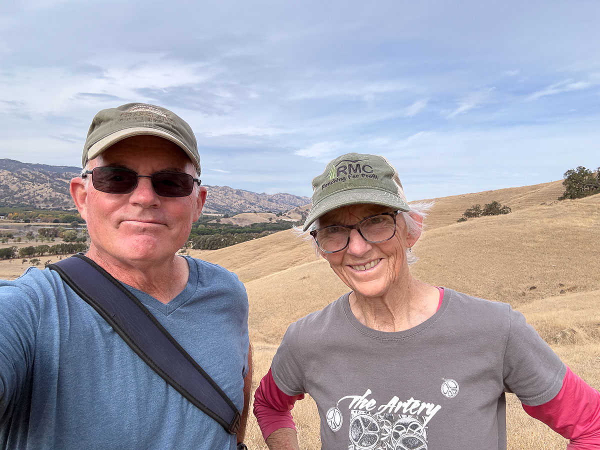
Thanks for the hike, Dave, and for the lunch that followed.

