Unknown's avatar

About Robin

Owner of Meridian Jacobs, farm and fiber shop. I raise Jacob sheep, teach fiber arts classes, weave handwovens for sale, and manage the store.

Black Sheep Gathering 2017- #2

I had too many photos for one post (as usual) so here is another of the weekend spent at Black Sheep Gathering. In the last post I mentioned Peyton, the new BFL ram. He just wrote a post on Rusty’s blog that you might want to check out.IMG_0526

In case you wondered what it was like to stay at BSG in a tent…here’s a photo of my camping spot. This wouldn’t have been fun if there was rain, but this time BSG was dry.

IMG_0411

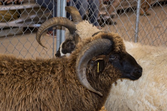
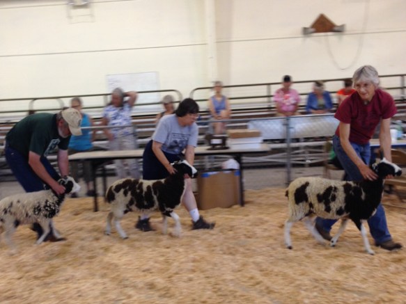
The whole reason for going on a Road Trip with Sheep is to show them (and maybe to sell a few). We showed on Saturday morning. The crew that showed up to help include Deborah and Brenda, Farm Club members, and Doris, who knitted that beautiful shawl in the last post, and Vicki, who has sheep and Border Collies back home. None had shown sheep before so we had a quick sheep showing lesson before the show started and then brought the sheep to the holding pen. There weren’t enough Jacobs this year (one other breeder) and we were showing against some Shetlands in the NCWGA Primitive Breeds Division.

.IMG_1909

There were no yearling rams entered so first up was the Ram Lamb class.

IMG_1912

The 4-horn lamb on the left here was awarded Reserve Champion Ram.

image6

Next was the Yearling Ewe class.

IMG_1927

image1-2

It was followed by the Ewe Lamb class.

IMG_1936

The judge liked Jennie (front) best.

IMG_1971

The yearling ewe, Vixen (on the left), and Jennie (right) went into the Champion class…

IMG_1972

…and Jennie got Reserve Champion Ewe.

IMG_0433

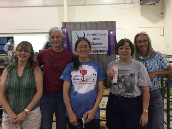
As I say all the time, I couldn’t do this without the help of my friends…including the people who took photos and sent them to me. Thanks! Everyone had a fun experience and they all went home with blue ribbons.

IMG_0450

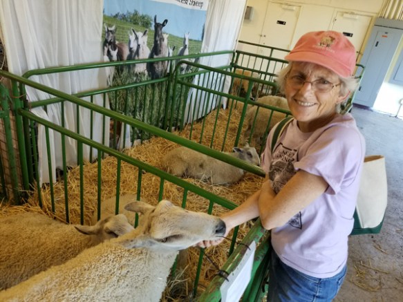
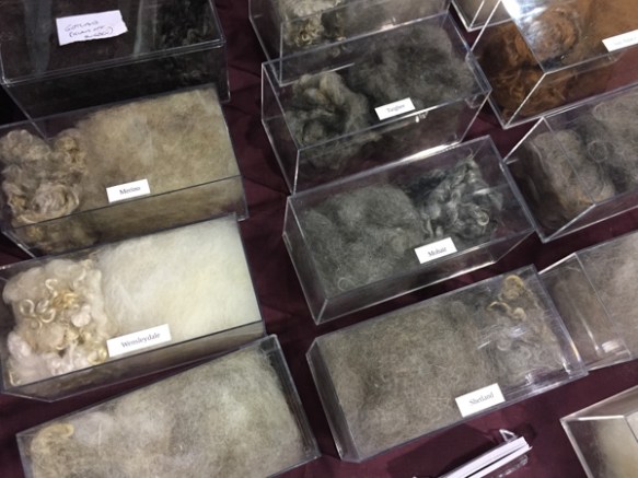
I don’t know how many fleeces were entered in the Wool Show but these tables were full and there was a long line of buyers waiting outside.

IMG_0467

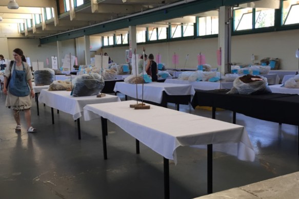
I checked back an hour or so later and there weren’t a lot of fleeces left.

IMG_0468

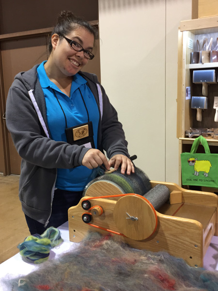
Saturday night there is always a potluck followed by the Spinners Lead competition. You can find handspun items in the most unusual places. (made by Marilyn from CA). It was so unusually hot for Eugene that attendance was lower at both these events. But we found familiar faces.

IMG_0474

Doris and I took the yearling ewes to the Spinners Lead, wearing our shawls. We had both won first place in the classes in the Fiber Arts Show. Mine was in the woven division and Doris’ was in the knitted division where she also was awarded Best Use of Natural Colored Wool.

IMG_0475

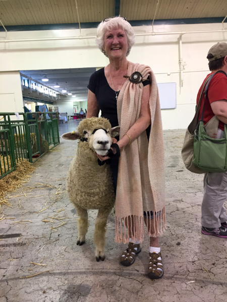
Other California friends were there.  Marilyn wore the shawl that she had woven the previous day in the Sheep-to-Shawl contest. Her Hangtown Guild won that competition and she borrowed a sheep to enter this show.

IMG_0478

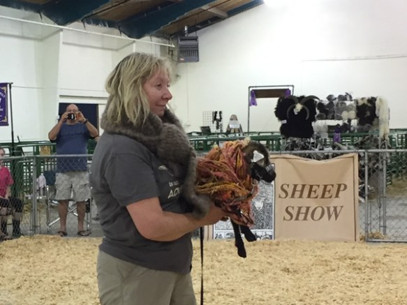
Beth knit this beautiful shawl and also borrowed a sheep.

IMG_0484

This was Doris’ first time at BSG, first time entering this event, and first finished handspun project!!

IMG_0519

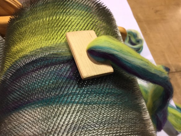
I took Cindy in the show and she wore a scarf woven of the leftovers from the shawl I wore. All the entries in this show are handspun or felted.

IMG_0523

This is the smallest sheep I’ve ever seen at this show and she was quite a crowd pleaser.

IMG_20170624_170725

The next day I was sitting in the barn and spinning and glad that I didn’t have to take a sheep into the Black Sheep Cup (Supreme Champion) competition in the heat of the afternoon when I realized “uh oh, I do have to take sheep into the ring for the Young Flock competition”. Thanks to Doug and Karen who quickly helped me get the sheep to their appropriate spot in the ring, although I wasn’t exactly dressed for showing in my tank top, shorts, and Birkenstocks.

IMG_0551

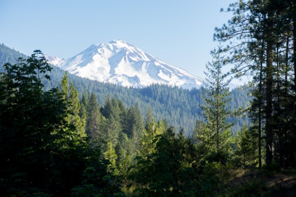
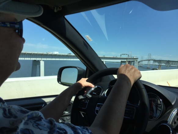
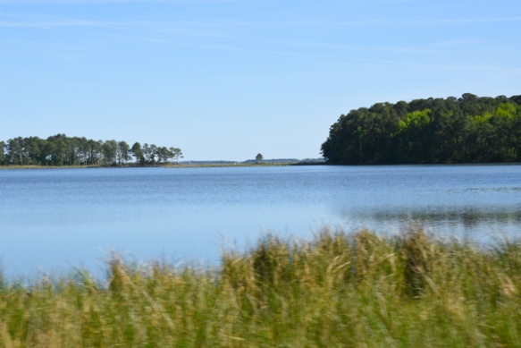
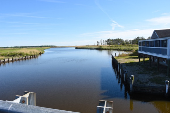
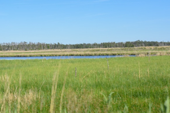
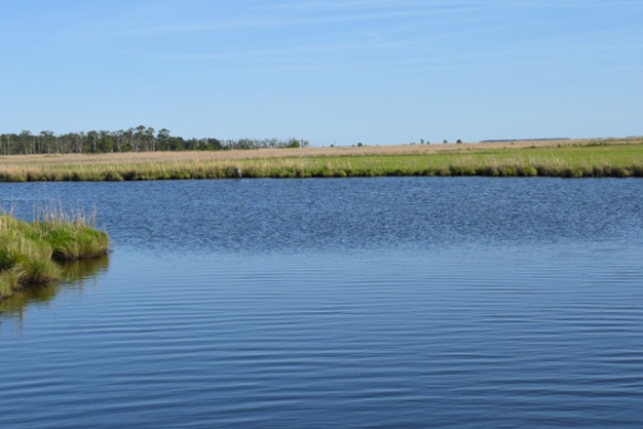
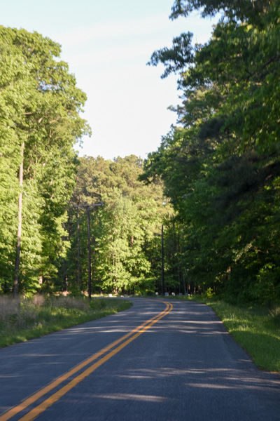
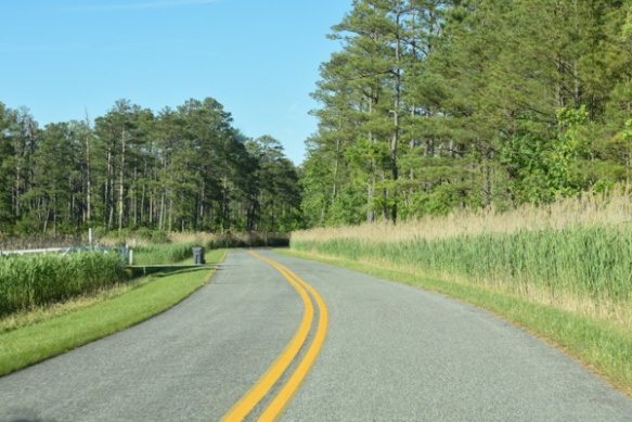
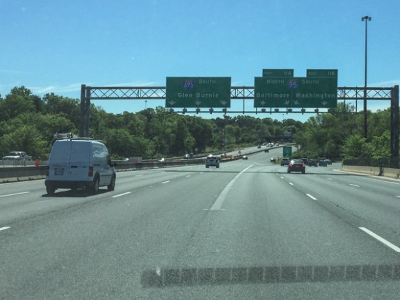
I loaded up and got on the road about 4:30. View heading south.

Black Sheep Gathering 2017

Black Sheep Gathering is my favorite West Coast Fiber Event. I just wish that it wasn’t so far away. It’s about an 8 hour drive if you just stop for gas and nothing more.

IMG_0359

This year it was important to leave early enough to avoid the heat in the Sacramento Valley. That meant I loaded sheep at 4 a.m. and was on the road by 4:45. I was passing the Sutter Buttes before the sun was up.

DSC_2198

First good view of Mt. Shasta, this year with plenty of snow.

Most of this post is just random shots in the barns and vendor hall.

image7

Our across-the-aisle neighbor, Teeswater. I can’t imagine dealing with that fleece.

DSC_2228

Other neighbors, Navajo-churro yearling rams, ready to be shown.

DSC_2224

Angora goat show.

DSC_2209

Wool Show judging. That is my ewe, Cindy’s, fleece. This is the first time in years I have entered a wool show. I had planned to keep this one, but I’m still spinning the other that I saved this year. This fleece sold within an hour of the sale opening.

IMG_0376

Meet and Greet with Peyton, the BFL ram who was coming home with me. (See Rusty’s Blog later for a post by Peyton.)

IMG_0375

This is Moo Shoe Pork, a crowd favorite in last year’s Fiber Arts show, created by Nancy (Peyton’s owner) and in the Liongate Farm booth, near Peyton.

IMG_0381

There were several spinning circles in the middle of the air conditioned vendor hall. These were very popular as the weekend wore on. People in Oregon get start to complain when the weather gets into the high 80s. And it did get hot, pushing the high 90s, but thankfully cooled off at night for us campers.

IMG_0380

Dyed mohair locks.

IMG_0382

M&M dispenser. I know, not fiber related, but maybe for keeping up strength while in a spinning competition?

IMG_0387

Our Farm Club friend, Gynna, demonstrating at the Clemes & Clemes booth. I carry this fabulous drum carder and other C&C products at the shop.

IMG_0385

Here is what she was doing. I haven’t tried dizzing off the drum carder before but certainly will now.

IMG_0442

I liked this display of fiber. The purpose was to show how the picker being sold in the booth prepared the fiber.

IMG_0464

I met up with Tina, Farm Club Emeritus, who now lives in Portland.

IMG_0439

She found a rug-hooking mini-workshop in the vendor hall.

image6-3

Two of us entered the Fiber Arts Show. This is Doris’ beautiful knitted shawl. She used Lori’s fleece and blended colors to create this gradient. Her masterful work was recognized with the award for Best Use of Natural Colored Wool!

IMG_0397

We had chosen Friday as the day that several of us could go out to dinner. Nine of us met in the sheep barn and it took awhile to figure out where to eat.

IMG_0399

Decision made, but then we needed to figure out who was going where after (motel, back to the fairgrounds, etc), which cars had room for extra people, and synchronize map apps.

IMG_0400

Seen on a car window and magnified about a million times from an iphone photo taken from a lane away.)

IMG_0410

After a good dinner we got a passerby to take a photo of all of us in front of the Eugene public art.

IMG_0408

Love the concept and the You Are Here part.


Family Time

My daughter was the surprise for Dan’s retirement/Father’s Day family get-together. She flew in from Texas with one grandbaby just in time for the Central Valley’s big heat wave. We escaped the heat for awhile yesterday by driving  to El Dorado National Forest to hang out with Matt and Kaleena until they got off work at 6 p.m.

DSC_1962

Matt and Kaleena both work for the Forest Service and are based at different parts of the same facility. Matt is in charge of the helicopter.

DSC_1963

We walked out to the helipad for a tour.

DSC_1968

Note the effect of the King Fire from a few years ago.

IMG_0271

DSC_1982

Kasen seems to be a fan.

IMG_0279

Chris was studying the instrument panel to decide if he should move some of the switches around.

IMG_0276

I think he restrained himself.

DSC_1989

Kasen seemed ready to try.

IMG_0285

My three kids and one grandkid. (Kirby stayed home with Dad in Texas.)

DSC_1994

DSC_2014

DSC_2023

Kaleena works on the other side of the compound.IMG_0290

Matt goes to fires in the helicopter and Kaleena drives this truck.

IMG_0293

IMG_0301

IMG_0309

Here is her view from up high.

DSC_2024

The official fire danger may have been low but they have been on nearby fires already the day after we were there Kaleena and her crew left for the Angeles National Forest.


A Lot of Random Stuff This Week

Can you believe that it is going to be over 100 degrees by the weekend …IMG_0163

…and  just four days ago it was in the 60’s-70’s with a thunderstorms…IMG_0164

…and hail?

IMG_0131-2

The morning of the storm, when it was bright and sunny out I saw that a big branch of this weeping willow had broken during the night–not storm related. It’s hard to tell from this photo, but where that big space is with sun shining through–that is where the branch was.

IMG_0132-2

The sheep made quick work of the leaves up to the height they could reach.

Retired

Big event–my husband retired last week. I was worried that he would wear out his end of the couch, but after getting over a bad cold, he’s been outside spending time doing Stuff That Needs Doing.IMG_0191-2

One of those things is cutting tree branches that block the view from the driveway.

IMG_0169

In the sheep world, we’re getting ready to go to Black Sheep Gathering next week, so that means halter breaking lambs. A few Farm Club members have come over to help. That sheep is not hurt or dead. She is just protesting.

IMG_0167

This is a blurry photo of the back of a ram lamb’s head. What it shows is two horns on the right that are growing close together. Ideally Jacob sheep have symmetrical, balanced horns. I’ll wait and see how that 5th horn is going to grow out.

IMG_0192

I put a 40-yard warp on the Schacht loom and cut off 12 baby blankets. There are more to go but I needed to get some of these done. That reminds me I need to contact someone who ordered pink blankets.

IMG_0206-2

New items in the shop and on the website soon. These just came–Schacht flick carder, tapestry beater, and weaving cards.

I wanted to finish the warp on the AVL. The computer that is attached to it decided to update itself. This is a PC and everything else I do is on a Mac. I don’t remember the PC world at all.

IMG_0199-2

This message had me really frustrated. I can’t weave on that loom if I can’t get the computer and the loom to talk to each other. With trial and error I finally got it going again, but I have no faith that it will work when I turn it on the next time.

997-7

So I stayed out there at the loom until I finished that warp so that at least I have some time to work with it if there is another problem.

Shadow Pictures

Right now I’m sitting at my desk with one Border Collie (Rusty) at my feet under the desk and the other behind the chair. Ginny has never been gun shy or afraid of things in the sky but this thunderstorm has her rattled too. Rusty is terrified. So I left the loom where I was weaving and I’ll wait it out with them. We don’t often have thunderstorms here.

I had planned to write this blog post about our walk Across the Road in yesterday’s sunshine.

IMG_0091

Guess who with something in her mouth?

IMG_0093

Ginny watches the Ball and Rusty watches Ginny.

IMG_0096

IMG_0097

IMG_0103

IMG_0104

Ginny constantly drops the ball in the water but this year she gets herself. Last year I was fishing it out for her.

IMG_0110

IMG_0117

I don’t say much about Maggie because she usually wanders ahead and does her own thing out of range of the camera. I called her over to get a photo.


IMG_0125

The late afternoon sun gives light to other subjects as well.

IMG_0121

IMG_0126

Ginny found a ball that we lost at some point in the tall grass. Now the grass is gone and she saw it in a dried tractor track. It’s a good thing because the ball on the right isn’t in very good shape at this point.

MJ Adventure Team Goes to MD – Day 7 Continued – The End

That last post was really long but I have so many photos that I wanted to include. The day wasn’t over when we left Assateague Island. We had a mission ahead of us.

IMG_6536_medium

Dona took this photo before we left California. You pass this sign on Highway 50 entering Sacramento from the west. We figured that if there was a sign for Maryland at this end of Highway 50 then there would be a sign at the other end too, so we drove to Ocean City.

DSC_1379

We parked and started walking to find our sign. The beach and the Atlantic Ocean are just past the Boardwalk, so we have to go the other direction.

DSC_1376

We were on the right track. We hadn’t seen any sign coming into town, but it didn’t take us too long to realize that we’d been facing the wrong direction to notice a sign meant for west-bound travelers.

DSC_1375

A sign of interest, but not the one we were looking for.

IMG_9657

A gorgeous old building.

DSC_1357

We found it!

DSC_1369

Mission accomplished.

DSC_1381

We still had time in the parking meter so walked back to the Boardwalk. Do you remember the photo in the last post of this area 10 miles to the north of the Assateague National Seashore? What a far cry from the beach and the dunes. The beach here is just to the right of those light poles.

DSC_1380

We stopped at a memorial to fire fighters…IMG_9662

…and reflected on the world. Then it was time for ice cream.

IMG_9665

We found Dumser’s Dairyland. It was late in the day and we didn’t need to eat another meal out. We had plenty of food to use up back at the house because we weren’t going to be able to take it with us. But before heading to the house we drove a few miles south to the town of Snow Hill. Kathleen had heard that it was an interesting place to see. Snow Hill was founded in 1642 (you can’t say that on the West Coast) on the Pocomoke River. Although there was a disastrous fire in 1893 there are still pre-Revolutionary War structures in the town. We did not search out the various buildings but did a random, meandering tour through the old part of town and I found references to some of the ones I photographed later.

IMG_9667

The Governor John Walter Smith House, a Queen Anne Victorian, built about 1889.

IMG_9668

IMG_9669

IMG_9671

United Presbyterian Church, build in 1889.

IMG_9672

IMG_9673

River House Inn, built in the 1860’s.

That was it for adventure. Back to our house, clean up, pack up, and get ready to leave for home in the morning.

IMG_9677

This is the house were we stayed the last couple of nights in Maryland.

IMG_9681

We got on the road and I was navigating. Oops! Delaware? Right, I hadn’t paid attention that we’d be entering another state. I don’t think you get to count it as a visit unless you actually get out of the car though.

IMG_9683

The rest of this is rather anti-climactic after this fabulous trip. Just photos taken while driving riding. Beautiful rural countryside.

IMG_9685

Big round bales. You don’t see those around here.

IMG_9691

More big barns.

IMG_9688

There’s a Maryland sign that I don’t think I got when entering the first time…at least not from the plane.

That’s it. Back to California. We had an adventure to be remembered for a long time. We didn’t do any one thing that was all that adventurous, but Actually Doing It was the important thing. And spending this time with each other was a treasure.

MJ Adventure Team Goes to MD – Day 7 – Ponies!

It’s been almost a month since we  embarked on this trip so I guess I’ve had extended enjoyment while organizing photos and thinking about the blog posts.  I don’t know how many people really read my posts, but there have been some who have asked “what about the ponies?”

Day 6 was spent learning about Fort McHenry and exploring Harriet Tubman Underground Railroad. We spent a comfortable night at our AirB&B in Berlin and got on the road in time to get to the Assateague Island National Seashore…  DSC_1017

…when the Visitor Center opened. The area is managed jointly by the National Park Service and Maryland Park Service.

DSC_1019

Assateague Island is a barrier island that is 37 miles long and separated from the mainland by Chincoteague Bay and Sinepuxent Bay. The northern two thirds is in Maryland and the southern one third is part of Virginia. If you were a horse-crazy girl once then what you know about these islands is that there are wild ponies living there, made famous by Marguerite Henry’s book, Misty of Chincoteague.  We had come to find the ponies.

DSC_1025

Only part of  the island is accessible on a paved road that connects campgrounds and trails. We hadn’t gone far when we found them. Ponies!

DSC_1021

Just pretend that you don’t know that they were in a parking lot near the bathrooms. Signs everywhere warn people to leave the ponies alone and don’t offer food. It’s the same kind of warnings that you read in Yellowstone about not feeding bears and packing food away. People are kicked and bitten by ponies and the ponies are hit by cars when they get used to people offering food.

These ponies didn’t seem to be going anywhere soon…

DSC_1029

…so we walked to the beach.

IMG_9633

We had made it to the Atlantic.

DSC_1035

That is Ocean City, about 10 miles north. Can you see the ferris wheel and the amusement park in the middle of the photo? What a contrast when looking from the National Seashore.

DSC_1038

The barrier islands are “among the most dynamic landforms on earth”. There is constant change. Assateague Island is moving west, at an accelerated rate after jetties were constructed near Ocean City in the 1930s.  At one time Assateague Island was to be developed, and in the 1950s a 15-mile road was created on the Maryland side of the island. A hurricane in 1962 wiped out structures and covered the road, and legislation in 1965 created the National Seashore.

DSC_1070

The ponies are most likely descendants of horses that were brought to the island 300 years ago by farmers who took advantage of the natural “corral” made of water. Farmers were required to pay taxes on their livestock and by turning them loose on the island, they could avoid the tax. I usually try to be scientifically accurate about what I write, but there is some artistic license here. The documentation from the Park Service says that genetically these are HORSES, not PONIES. The small stature is a result of years of adaptation to a diet of abundant, but nutrient-poor salt-marsh grasses.

DSC_1064

Sorry. I will continue to call them ponies while I’m talking about our visit. They are used to paparazzi. We were lucky to be visiting in the off-season and on a weekday. There were very few people around. It would have been a very different scene if the parking lots and roads were full.

DSC_1044

The ponies wandered off and we drove on to find more.

DSC_1078

This looked like a very old pony at an empty campground. The Maryland ponies are managed as wildlife are. From the brochure, “While action may be taken to end the suffering of a gravely ill, seriously injured, or dying horse, no measure are taken to prolong the lives of Maryland’s wild horses. As with other species of Assateague wildlife, horses that are sick or weak do not survive.” The population is controlled using a non-hormonal, non-invasive vaccine, administered by a dart, to prevent pregnancy. With this method the birth rate has been lowered to fewer than ten foals each year which maintains the population at under 125 horses.

A fence that separates the Maryland and  Virginia herds. The Virginia herd is privately owned and produces 60-90 foals each year. The foals are sold at auction after the annual swim from Assateague Island to Chincoteague Island and the proceeds go to veterinary care, the fire department, and various charities. There are week-long festivities around this event and you can see videos at this link.

DSC_1103

There are three nature walk trails through the marsh, the forest, and the dunes. We started with the marsh trail.

DSC_1100

DSC_1088

We spotted this osprey that had caught a fish.

DSC_1107

We watched for quite awhile while it circled, still carrying it’s fish.

DSC_1116

Diamondback terrapins.

American Oystercatcher-Laughing Gull

Two laughing gulls and an American oystercatcher…

American Oystercatcher-Laughing Gull

…who was not welcome.

Short billed dowitcher

Short-billed dowitcher.

IMG_9649

DSC_1189

We drove down another road…

DSC_1190

…where we saw a group of people gathered. From my Yellowstone experience (people stopping in the road when wildlife is spotted), I figured that that meant Ponies!

DSC_1200

This group was a little more picturesque, being “in the wild” instead of “in the parking lot”.

DSC_1203

DSC_1210

DSC_1245-2

There was a Pony Patrol volunteer with that group of people answering questions and making sure that ponies aren’t harassed.

We drove to the next trail–the forest nature trail.

IMG_9650

Loblolly pines are the dominate forest species.

DSC_1301

DSC_1299

DSC_1297

Poison ivy.

IMG_9652

IMG_9645

IMG_9641

DSC_1275

At the end of that trail we saw the same group of ponies, but from a different view. Notice the paddle-boarders in the marsh. What a great way to see the marsh and the ponies.

One more interesting pony fact: “The Assateague horses drink over twice the amount of water that domesticated horses will due to their salty food supply. All that drinking combined with a high salt diet contributes to their bloated appearance.”

DSC_1307

We drove to the Dune Nature Trail.

IMG_9653

Chris needed some beach time so Kathleen and I walked the trail while Chris enjoyed the beach, albeit a bit cold and windy.

IMG_9655

DSC_1328

DSC_1332

Remember the road that I said was built in the 1950s? Part of it is still visible.

DSC_1341

DSC_1323

IMG_9630

IMG_9631

As we left the park we were faced with that age-old question.

DSC_1351

“Why does the pony cross the road?”

DSC_1352

Because the grass is greener?

This was another full day (and a very full blog post) but there is more Maryland scenery. That will be another post.

MJ Adventure Team Goes to MD – Day 6 – Harriet Tubman NHP

On Day 6 of our adventure we spent the first part of the day at Ft. McHenry National Monument. Then we headed for Harriet Tubman Underground Railroad in Dorchester County, Maryland. Maryland landscape-17

I commented in the last post that there is a lot of water in Maryland!

IMG_9606

At this time Chris was driving and we didn’t know until we got here that driving across bridges is not one of her favorite things.

Chesapeake Bay Bridge

This is a 4-mile bridge across Chesapeake Bay.

IMG_9611

Kathleen gave moral support from the back seat. Chris did just fine.

IMG_9612

I rode shotgun trying to figure out where we were going and not wanting to miss any photo ops. It turns out that our Visitor Center was not on this map because it is brand new.

Harriet Tubman NM

The Visitor Center is co-managed by the State of Maryland and the Park Service. To fully experience the Underground Railroad site you can follow a driving tour 223 miles through Maryland, Delaware, and Pennsylvania. There is written and digital documentation to explain the sites along the way. But we didn’t know that when we made this plan. So we ended up seeing only a fraction of what is actually part of the Underground Railroad Byway.

IMG_9616

The exhibits in the Visitor Center gave us a good understanding of Harriet Tubman’s life and the heroism that she showed in escaping slavery and then returning many times to rescue over 70 family members and friends.

IMG_9614

A chilling quote that describes some of the anguish inflicted by one person on another.

IMG_9617

At the last stop in the Visitor Center there is a video with modern era commentary about human rights and the fact that we still struggle.

Blackwater River

After leaving the Visitor Center we followed the Driving Tour map for a short way on our way to picking up Interstate 50. We drove through the Blackwater National Wildlife Refuge, largely unchanged from the time when Harriet Tubman lived in the area.

Maryland landscape-29

Maryland landscape-37

There are signs along the way.

Bucktown

This is the Bucktown Store, closed when we drove by. Harriet was in this store when the shopkeeper threw a 2-pound weight at a slave who was fleeing the store, but instead hit Harriet, nearly killing her.

Bestpitch Ferry Rd.

The one-lane, wooden Bestpitch Ferry Bridge at the site of a former ferry landing. Agricultural and timber products were transported on rafts.

Bestpitch Ferry Rd.

Harriet’s knowledge of the waterways and survival in the marshes aided her in escape and rescuing others.

Marsh-Dorchester Cty

Marsh-Dorchester Cty

Marsh-Dorchester Cty

We inadvertently left the documented byway and followed country roads toward the Nanticoke River where we would turn north to pick up I-50.

Marsh-Dorchester Cty

I wish I knew what that very tall grass was on the side of the road.

Bestpitch Ferry Rd.

Modern farming. We saw a lot of these huge long barns and decided that they were probably chicken houses. Agriculture is Maryland’s largest commercial industry and livestock, particularly broilers (5-12 week old chickens), followed by dairy, are the leading products.

Marsh-Dorchester Cty

Drive-by photography.

Marsh-Dorchester Cty

Vienna

This house is in the town of Vienna where we joined up with I-50.

IMG_9621

This “beachy” comfortable house near the town of Berlin was to be our headquarters for the next two nights. Look familiar? Chris and Kathleen figuring out where to go for dinner. They found a seafood restaurant and I had salmon, grits, and sweet potato fries. Southern dining. I hadn’t realized until this trip how close to “The South” Maryland is.

Our first day of site seeing took us to Harpers Ferry and  immersion in Civil War era politics and strife. We had a wonderful diversion at the Maryland Sheep and Wool Festival during the weekend. Then we saw Gettysburg and were immersed in Civil War history for a day. Fort McHenry took us back into history, focusing on another war and also learning about the Fort’s role during the Civil War as well. Learning about the Underground Railroad and Harriet Tubman emphasized this sobering and grim part of U.S. history known as slavery. Maybe it’s like reading the newspaper–most of what makes “news” is not happy. These episodes of history depict the desire for power  and the struggle of those being oppressed.

I was ready to see PONIES! That will be tomorrow.

MJ Adventure Team Goes to MD – Day 6 – Ft. McHenry

It is taking me a long time to tell the rest of the stories about this trip but I want to finish. One reason I do this is that it makes me sort through my photos and jot down some notes before I forget. I also do a little more research into the history part to solidify that in my brain, at least temporarily. That is also why I don’t get too it right away,  because I need the time. I left off in the last post seeing Gettysburg National Military Park and staying in the town of Gettysburg. We planned on two stops on Tuesday before getting to our final destination.

Ft. McHenry-1-2

The first was Fort McHenry National Monument. It’s on that point in the northwest quadrant of the map. Living on the West Coast I haven’t paid much attention to the geography of the East Coast. Until I started trying to figure out where we were going on a map I hadn’t realized how big Chesapeake Bay is and how much water is within the state of Maryland in the form of rivers and marshes.

IMG_9556

I was driving this morning so just got a few shots through the windshield. Seeing signs for Washington stood out for me.

IMG_9557

This is in Baltimore not far from Fort McHenry. I was surprised at how little traffic we had getting through this industrial area to the fort. In fact, we had little traffic and a relatively small number of people at all the national sites we visited. The wonders of off-season and mid-week travel!

IMG_9560

We got to the Visitor’s Center just in time for the 10 minute film about the Battle of 1812 and the writing of the Star Spangled Banner, originally called “Defense of Fort M’Henry”, in which Francis Scott Key described the his sighting of the American flag over the Fort after 25 hours of bombardment by British ships.

IMG_9590

The Star Spangled Banner was sung at the end of the film and people stood as the movie screen lifted, revealing the flag flying over the fort. My telling of this doesn’t invoke much emotion, but the film was so well done and the ending so dramatic that when Chris and I looked at each other we both had tears in our eyes.

After that one of the Park Volunteers invited everyone to come outside and participate in a flag ceremony.

IMG_9563

Everyone lined up in two rows facing each other.

IMG_9565

A flag was brought out of what looked like a large duffel bag and was carried down the line of people. When the entire length was being supported then we all stepped back.

IMG_9568

This revealed a replica of the 32′ x 40′ garrison flag constructed by Baltimore seamstress, Mary Pickersgill for Fort McHenry.

IMG_9578

Major George Armistead, who commissioned the flag, wanted it to be large enough “that the British will have no difficulty in seeing it from a distance.” IMG_9573

We learned that the original flag, which is in the Smithsonian, was made of dyed English wool, except for the stars which were cotton (and are 2′ across!). There were 15 stripes, each 24″, because in 1794 Congress had approved two additional stripes for Vermont and Kentucky be added to the original 13. It wasn’t until 1818 that the stripes were reduced back to 13 to represent the original colonies and a star was added for each new state.

IMG_9583

As the Park volunteer tested our new-found knowledge of the flag we rolled it back up stripe-by-stripe. We were then encouraged to learn more at the Fort.

IMG_9591

Mary Pickersgill made two flags, the large garrison flag and a smaller storm flag, 17′ x 25′.

IMG_9592

That was the one flying on this day. They use the larger flag on days with less wind.

Ft. McHenry-5

As we walked to the fort we saw this couple, an interesting contrast with the buildings in the background.

Ft. McHenry-9

IMG_9598

Inside the Fort, many of the rooms on the lower floor have more information and interpretive displays.

IMG_9599

I wonder what how you’d know!

IMG_9600

I thought it was interesting to get this perspective. The glass case encloses part of the original oak cross-brace that was underground and anchored the original flagpole. The replica cross-brace above gives perspective of the size and the depth of the lower section.Ft. McHenry-18

The fort is star-shaped. These cannons point down the Patapsco River where the British bomb ships were stationed and toward Chesapeake Bay beyond.

Ft. McHenry-16

We could easily have spent more time at the Fort, absorbing more of it’s history, and driven around Baltimore to see the other relevant sites, but that will have to be on the list for a future visit.

Places to go. More things to see. Stay tuned.