Unknown's avatar

About Robin

Owner of Meridian Jacobs, farm and fiber shop. I raise Jacob sheep, teach fiber arts classes, weave handwovens for sale, and manage the store.

Road Trip to CO – Leadville to Gunnison

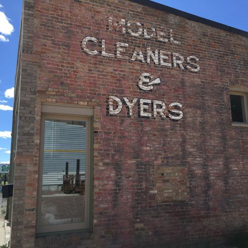
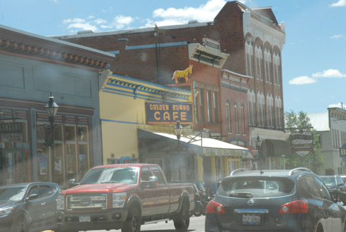
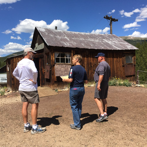
The main reason that we headed to Colorado on this trip was so that we could be in Leadville when Dan’s brother competed in the Silver Rush 50, a 50-mile endurance run. We spent the previous afternoon walking around town and going on a self-guided mine tour. We had a pre-race meal of pizza and salad and went to bed.

In the morning we split up. Dan got up early to be at the race start with Rob and Renee and I slept in and met up with Sally and John to explore Turquoise Lake.

DSC_0184

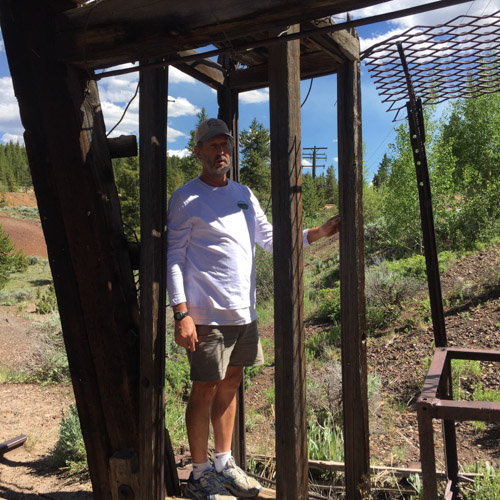
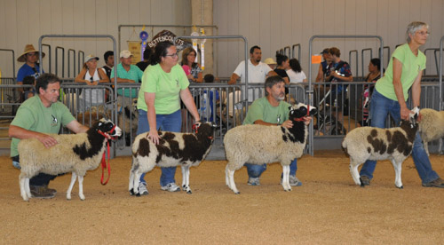
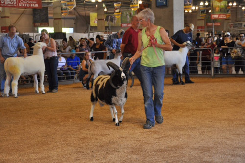
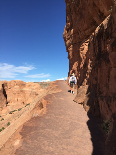
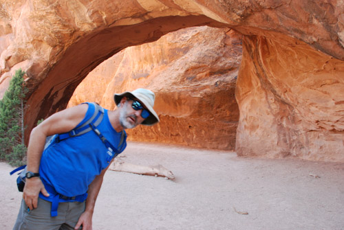
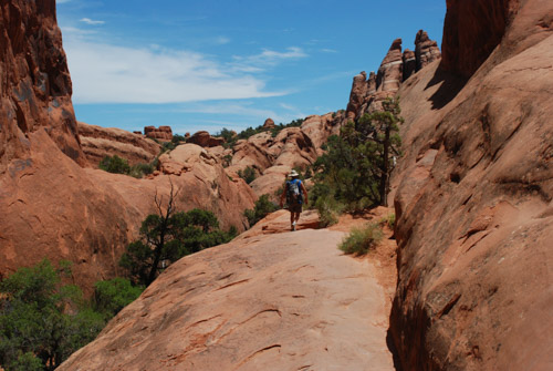
Dan took these photos of the first part of the run. Rob is ready to go.

DSC_0188

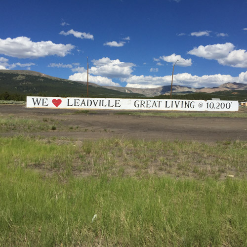
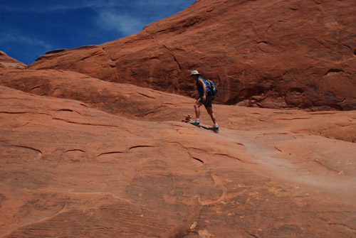
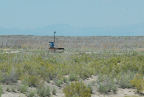
This run begins at an elevation 10,200′ and goes to over 12,000′. The runners have no difficulty getting their heart rates up right away even if they just walk up the first hill.

DSC_0199

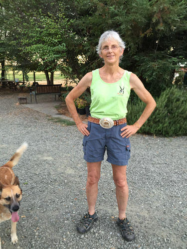
Rob wore neon green (although we discussed repeatedly whether he was wearing green or yellow–it’s sure green in the photos) which was helpful when trying to pick him out on a mountain road.

DSC_0198

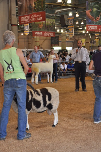
Personal support is allowed here, unlike in the Ironman last weekend.

IMG_2761

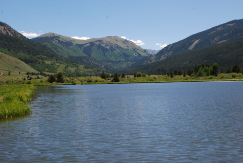
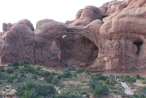
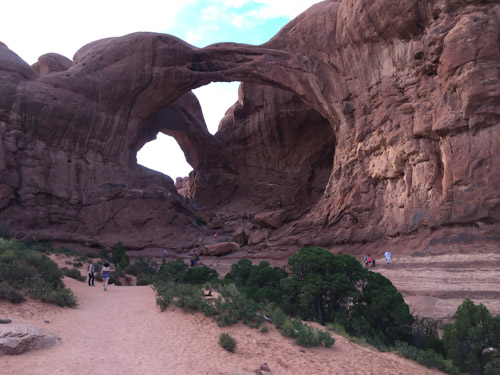
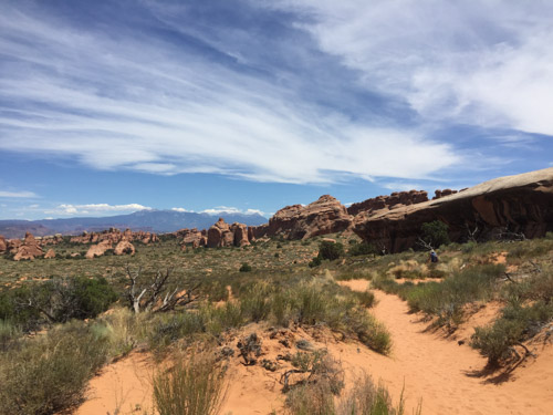
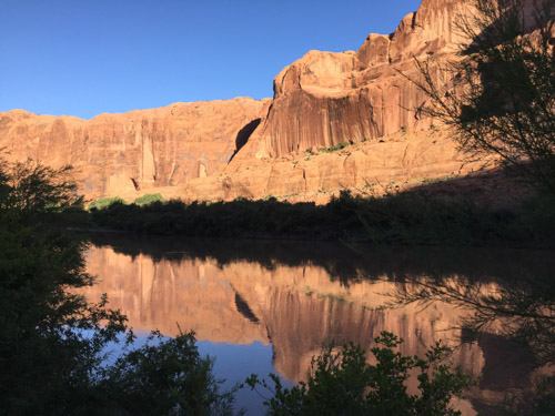
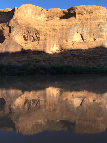
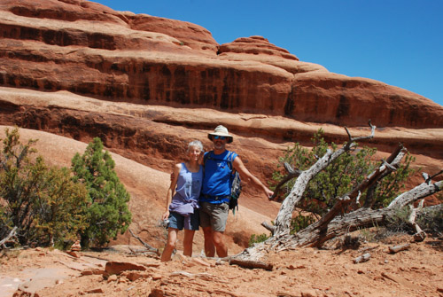
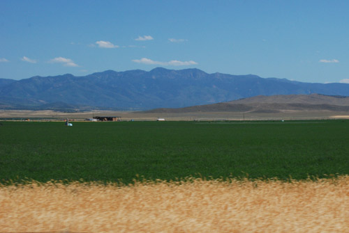
While Rob was running, my sister-in-law, Sally, and I went for a walk at Turquoise Lake, just a few miles from Leadville.

DSC_1026

DSC_0216

Rob was still on the trail…DSC_0213

…and made a shoe change…

DSC_0204

…while the spectators’ attention was diverted from the runners by a moose who wanted to cross the road.

IMG_2760

Sally and I finished our walk and headed back to town.

IMG_2765

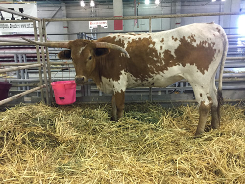
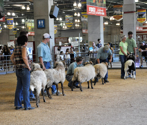
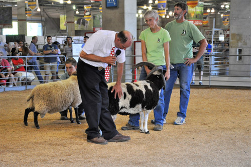
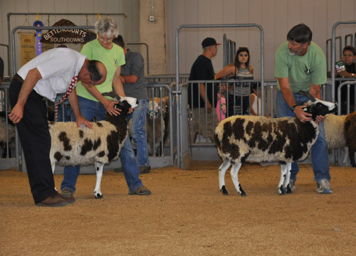
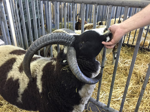
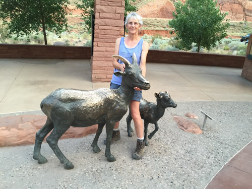
We walked through a few shops to find some t-shirts and postcards. There was a price tag on this sheep, but even marked down to $2700 it was out of my price range.

IMG_2770

We met up with Rob’s support crew at the 25-mile turn around.

IMG_2764

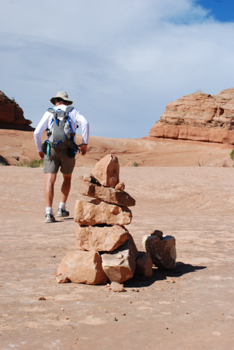
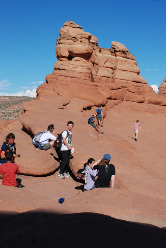
As usual, I entertained myself with my camera while waiting for Rob to run through.

DSC_1034

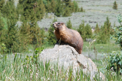
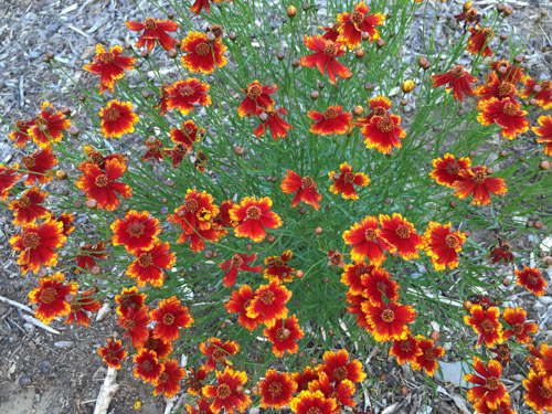
I don’t know what this plant or the bug is.

DSC_1036

You don’t see a runner in a kilt everyday.

DSC_1041

We finally saw Rob coming in. Although he has run this event before, this wasn’t his day for it. He wasn’t feeling well and had been battling injuries. He had events coming up (including last weekend’s Ironman) and thought it was prudent to stop at the 25 miles mark (as if running almost a marathon isn’t enough for one day). So we ended the day in Leadville early and left town by mid-afternoon, following Rob and Renee to Buena Vista where we would meet for lunch.

DSC_1054

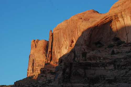
This is Mount Elbert, the highest mountain in Colorado. How do I know that?

DSC_1056

This is why we like these map books. We can follow along and identify points of interest. If we have cell service then I can look up more info, but on this trip cell service definitely wasn’t reliable. We enjoyed a meal with Rob and Renee before they had to head home, we stocked up on groceries, and we continued on our trip.

DSC_1073

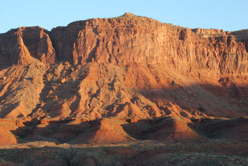
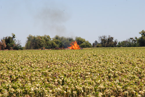
Smoke from one of the fires burning in Colorado.

IMG_2781

IMG_3402

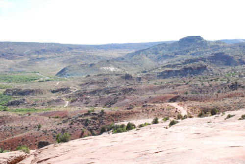
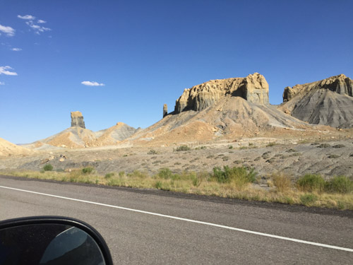
We had decided to find a place to camp somewhere near Black Canyon of the Gunnison National Park. The park encompasses the narrow band of land (and cliffs) along the river below where it has been dammed (from center to upper left in this photo). It was late in the day when we got to the dam that creates Blue Mesa Reservoir (right in photo) and we had to decide what we had time to do. We decided that we would drive the road on the north side of the canyon along the narrow Morrow Point Reservoir (which is not in the park) and enter the park the next day by driving in at the southwest entrance.

DSC_1085

The Pinnacles on Blue Mesa Reservoir.

DSC_1099

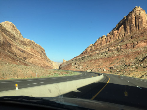
It was a spectacular drive on the road that follows the canyon. There are plenty of places to get out and take a look into the canyon.

DSC_1101

We stood high above buzzards circling on the wind currents. That is three buzzards roosting in the center of the photo. I took lots of photos of the spectacular scenery as the sun was getting lower but this post is already over-full of photos.

DSC_1108

This photo was taken from the last overlook on this drive–or at least the point where we needed to turn around to go back to the campground we had seen. That is the San Juan Mountains in the distance, which we’d be driving through the next day.

IMG_2786

After our shopping trip in Buena Vista we had a hot meal planned, but the camp-stove wouldn’t work. Tuna sandwiches for dinner again. Dessert was a deliciously gooey melted giant chocolate kiss.

Road Trip to CO – Moab to Leadville

I’m finally back to my photos of our Road Trip. I left off at the blog post about hiking in Arches National Park on our third day out. After a full day of hiking we headed northwest from Moab on Highway 128 that follows the Colorado River. Just after dark we found the Lower Onion Campsite just above the river. We enjoyed the mosquito-less evening while eating a hasty meal of beans and salad and went to bed planning on an early start the next day.

DSC_0967

Here is a view of our camping spot in the morning…DSC_0968

…and the cliffs beyond the river as the sun came up.

DSC_0983

The red rock landscape of Moab changed to more typical desert as we headed north to I-70. We spotted our first prairie dogs along this stretch of road…

DSC_0985

…followed by pronghorn. Not a desolate road at all if you pay attention.

DSC_0996

Our goal was to get to Leadville, CO by noon to meet up with Dan’s sister, brother, and their spouses, so we didn’t stop much along the way, but I took photos from the truck. I marveled at the engineering of this stretch of highway between Glenwood Springs and Vail.

IMG_2695

The eastbound lanes are just above the Colorado River and the westbound lanes are elevated to fit within the canyon walls, sometimes overlapping the lower eastbound roadway.  There is also a paved bike/running path right at the river’s edge. IMG_2696

At this point the highway is at about 8000′ elevation. We turned south on Highway 24 that would take us to Leadville at over 10,000′.  As we climbed into the mountains we had to stop at top of one of the switchbacks to take a look.

DSC_1004

Farther up we came to the Camp Hale Memorial. This meadow is the site of a U.S. Army training facility built in the 1942 and decommissioned in 1945. According to Wikipedia “Soldiers were trained in mountain climbing, Alpine and Nordic skiing, cold-weather survival as well as various weapons and ordnance. When it was in full operation, approximately 15,000 soldiers were housed there.”

DSC_1001

This is a view from that meadow looking east up the canyon to Sheep Mountain.

DSC_1010

A marmot posed for me while reading the roadside memorial signs…DSC_1013

…and this bee flew into this columbine just as I was taking a photo.

IMG_2723

Entering Leadville.

IMG_2706

We wandered around the downtown for awhile…

IMG_2712

IMG_2704

DSC_1022

…and then met Sally and John for lunch at the Golden Burro Cafe.

IMG_2716

After lunch we took a self-guided tour of the Matchless Mine. “The Mathcless Mine, a historic silver mine purchased in 1879 by H.A.W. Tabor, was estimated to have produced 7.5 million dollars during its peak operating years. Once fabulously wealthy, the silver market crash of 1893 devastated the Matchless Mine and the Tabor Family. Upon Tabor’s death his widow, Elizabeth “Baby Doe” Tabor, returned to the Matchless where she remained in isolation for until her death in March of 1935.” This is the cabin where “Baby Doe” lived until her death.

IMG_2721

Dan is standing in the phone-booth size structure that would lower miners hundreds of feet below ground. We watched a video that shows a 3-D image all the tunnels and shafts below us. I don’t remember the stats but the distances are staggering to think about.

After the mine tour we met up with Rob (Dan’s brother) and Renee and we all went to the Leadville Cemetery.

IMG_2739

My father-in-law’s grandparents are buried here and following his death just this spring, this was an meaningful stop for the family. We spent some time here before returning to our motel, eating pizza, and making plans for the early morning start of the Leadville 50–an ultra run that Rob was had entered.

DSC_0171

This was our one “civilized night” and I spent a little time trying to catch up with e-mail and thinking that I’d start my blog posts. Nope. We were tired and I wasn’t motivated enough to interrupt the vacation!

2016 Vineman – Ironman

A lot has been going on here during the last month, from our 8-day road trip to the fair and sheep adventures. The most recent event was yesterday. Chris had competed in his first Ironman three years ago in Texas and I shared photos and the story here. This was his second Ironman although we were all at the Tahoe Ironman two years ago when it was cancelled at the last minute due to the smoke from the huge arson-caused King Fire.

The Ironman is a 2.4 mile swim, 112 mile bike ride, and a marathon (26.2 miles) all one after the other. The training is intense (understatement) and the event infrastructure is mind boggling. Athletes pick up packets and leave off gear, including bikes, the day before. This event was local (Sonoma County, CA) although it was not local enough to sleep in our own beds and still be there for a 5 a.m. check-in on Saturday. We left our motel at 3:30 a.m. to make sure that we would avoid the anticipated traffic jam of all 2000 athletes descending on the small town of Guerneville at the same time.

DSC_0270

As the athletes arrive volunteers write numbers on their arms.

DSC_0280

Chris’ support crew at the river included my husband (who took this photo) and me, daughter Katie, daughter-in-law Meryl, brother-in-law & sister-in-law Rob & Renee. Rob was also competing this time. Can you tell it was cold at 5 a.m.? Sonoma County is known for morning fog, especially this near the coast. I haven’t been that cold in a long time.

DSC_1613

Morning preparation includes checking air in the bike tires,

DSC_0281

…securing the chip that marks times throughout the course,

DSC_1617

…and donning wetsuits….and lots of standing around for the support crew. Once the event begins the support crew can only support by finding places along the course to cheer on their athlete. No physical support is allowed.

DSC_1618

The pros started at 6:30 and the rest of the 2000 +/- athletes started at 6:45.

DSC_1622

Athletes are pensive. Many have put a year’s worth of training into preparing for this day.

DSC_1634

My brother-in-law came from Colorado to compete with Chris.

DSC_1623

They both anticipated about a one-hour swim time and lined up near the front of the pack.

DSC_1628

It is daylight now but still cold. The rest of us just wait. The national anthem is sung and the athletes are off.

There was a fairly small beach area where the athletes entered the water so they were funneled through a narrow gate to avoid crowding at the beginning of the swim. (It was impossible to get photos of that or to pick out our swimmers.)  I am so glad that our guys were at the front, because it took a half hour before all of the competitors were actually in the water and swimming. By that time the pros were almost finished with the swim portion. Our guys weren’t far behind.

DSC_1639

The athletes pack transition bags prior to the event and they are all put in place the day before. Everyone has a bag for the swim/bike and bike/run transitions. As the athletes come out of the water they strip wetsuits with the help of volunteers. Most are already wearing their cycling/running clothes under the wetsuit.  Wetsuits and goggles go into the bag and they take out cycling shoes, helmet, socks, and anything else they need while on the bike.

DSC_1647

For competitive athletes (or those who are aiming for the best PR) the transitions become an important part of the whole event where time can be made up or lost.This is Chris (in white and navy) leaving the transition tent to get his bike…

DSC_1648

…and running with his bike to the beginning of the bike route. I must say here that we were all worried (OK, it was us, Mom and Dad, who were mostly worried) about Chris’ ankle that he sprained badly about six weeks ago and then sprained again just three weeks ago while out in the bumpy pasture with my sheep. We saw him twist that ankle again while running here in cycling shoes and continue running with a limp to the bike course. DSC_1649

Rob left the river not long after Chris…

DSC_1654

and got his bike. Rob has done these events for many years and was smiling at this point.

After the guys got on the bikes (well in front of most of the other competitors, giving us an edge on getting out of town) we got to our car and drove to Windsor where the bike/run transition and the finish would be.

DSC_1659

Depending on the configuration of the course the Ironman can be a difficult spectator sport. At this point we had picked up another two support crew members (my cousin, Carol, and another family member, Barb, who both live in the area).  We found a spot where we would see the cyclists come by in the first of their two loops of the bike course. We saw Chris who looked strong at this point.

DSC_1665

As Rob saw us he slowed down and stopped. His bike had a broken spoke on the back wheel at about Mile 25. That meant he was out of the event because his wheel was getting more and more wobbly and there was nothing to do about it without a replacement spoke or wheel. It would be frustrating to train for this event and spend all the time and money on it and then  have a mechanical issue end your day. But Rob has competed in many of these and he put his bike in the car, got something to eat, and spent the rest of the day enthusiastically cheering on everyone else.

DSC_1670

We saw Chris get off the bike, pick up his bike/run bag and run through the transition area. He emerged with cap and running shoes. The run portion is a marathon and this one was three times over the same 8+ mile course. We found a place  where we could watch runners coming and going as they made a loop around our grassy, shady area to enter the turn around and then see them come out again. This gave us four views for each lap.

DSC_1698

Chris on the first lap. The athletes’ first names are on their tags and spectators’ cheers help buoy the runners’ spirits.

DSC_1705.jpg

Part of the support crew waiting for the next sighting.

DSC_1708 DSC_1727

On the second lap Chris was picking up cups of ice chips at the aid stations to eat and cool his back. After seeing him on the second lap we went to the finish where we could position ourselves for cheering and photos. We didn’t know what time to expect him but he seemed to be ahead of scheduled, sprained ankle and all.

DSC_1729

This is after coming around the last turn to the finish…DSC_1736

…at well under 12 hours. The official clock counts the time from the start of the pro racers but Chris’ actual time was an impressive 11 hours 37 minutes.

DSC_1745

We were all so thrilled and proud of him.

DSC_1764

DSC_1773

DSC_1781


No Time to Blog

What do all these photos have in common? They are all topics that I want to blog about. But I’ve been from one adventure to another and am off again pretty soon. I hope I get to tell all these stories (including the rest of my Road Trip) before too long.

Maybe there should be a contest. Anyone who tells a story that incorporates all of these images (any order) can be entered. Write a paragraph and put it in the comments or send me an email me at robin@meridianjacobs. com (I can’t seem to make this a live email link) and I’ll either choose my favorite or do a random drawing for a prize. How about a Meridian Jacobs bag? Or a T-shirt? Go for it!!!

DSC_1378

IMG_3224

IMG_3222

IMG_3075

IMG_3323.jpg

IMG_3258

IMG_3236

IMG_2795

DSC_1603

IMG_3277


One More State Fair Post

Before I get back to my Road Trip blogs I have a few more photos to share. No big surprises in this post like there were in the last one, but Dona sent me the great photos that she had taken of the show. And since I’m writing another fair post I’ll include a few others as well.

I didn’t see much of the fair besides the livestock area but I walked around briefly. Here is what caught my eye.

IMG_3122

On the wall of the livestock office.

IMG_3147

Another longhorn, this time with not-so-symmetrical horns.

IMG_3141

A “corn-box” for children.

IMG_3142-2

This seems like a good idea for kids but I think I’d want it far from my house. It’s hard to tell in the photo but there are metal bars hanging at each station for banging “music making”.

IMG_3159

I always like walking through “The Farm” to get ideas for my garden. I like these bricks that made the corners of the raised beds. It would be easy to change the location of the beds.

DSC_8141

Back to the show ring. Rotor was sometimes reluctant at moving around the ring.

DSC_8168

Here he is at the head of the class of Shetlands and Karakuls.

DSC_8216

This is the Primitive Breeds Champion judging.

DSC_8218

DSC_8248

None of my other sheep did as well as Rotor. The judge preferred his fleece over that of my other sheep, although I think they are just fine. Meridian Honey, shown by my husband, had won Champion Jacob ewe at Black Sheep Gathering in June, but she was last in this class. That is part of showing any livestock, especially Jacob sheep. There is such a wide variety in acceptable traits in our sheep that it may not really be appropriate to judge them against each other. That is why Jacobs used to be judged by “card-grading”. Each sheep would get a “grade” based on the characteristics–not putting one of a similar grade above another. But that’s not how it’s done in traditional livestock shows.

DSC_8258

These are my two yearling ewes, Meridian Honey and Meridian Zinnia.

DSC_8319

This is the Jacob portion of the Primitive Breeds ewe lamb class. The two lambs without much color have a bit more on the other side. They are sisters and my friend, Mary, has bought one of them.

DSC_8362

Here is our Flock entry in the Primitive Breeds Division.

DSC_8380

Rotor’s debut on the photo stage after winning this show. See the previous blog for his other winning photos.

Big Wins at the CA State Fair – 2016

We interrupt this blog series…

I am not even half way through sharing photos and stories about our recent Road Trip, but for the last four days I have been at the State Fair and I have to share that experience.

Every year I wonder if it’s really worth the time and effort to go to the fair. My friends and I go to Black Sheep Gathering because…hmmm…why do we go? It’s a Road Trip With Sheep. I just bring sheep, look at fiber, and hang around with my friends. That can’t be said for the California State Fair. Although it’s close to home, it’s a lot of work. I set up a big display booth and my Farm Club friends and I staff it all day. It’s hot (105 this year), dusty, and I stay every night until about 8:30 because there are so many people still in the barn. We are under pressure to keep the area spotless and be nice to everyone because we are in contention for a couple of major awards for the display.

IMG_3121

For Farm Club member, Mary, who is also a new farm owner, this was a new experience. She has been here before but it’s different when you have your own sheep. Before we can put the sheep in the barn they are checked by the veterinarians.

IMG_3123

Once the sheep are settled in their pens we start with the display.

There is prestige and a good monetary award at stake for the Marketing Program that “should be directed at potential customers and show case the exhibitors Breeding Program and Operation”. Here is the scorecard:

  1. 20% Display. Clearly demonstrates it’s purpose, message and/or image.
  2. 20% Effective use of display materials. Paper, wood, metal, plastic, plants, etc.
  3. 20% Use of color and signage. Graphics and signage to create impact and storyline, QR codes
  4. 5% Special Effects. Movement, sound, audio visual, participatory element
  5. 20% Effective Use of Handout Materials. Flyers, pamphlets, business cards, recipes, children’s materials, etc.
  6. 15% Craftsmanship. Well constructed, balanced and has an overall finished, artistic, visual appeal.

IMG_3177

Here is the finished display.


IMG_3154

I’m glad that I had the last minute thought to provide a Touching Table. That came to me when I was looking for something else in the barn and came across these horns. We’ll expand on this next year. I was especially glad I thought about this when I realized that I had forgotten to bring the A-frame that holds some of our other interactive display material.

In addition to the Marketing Program, there are Herdsman awards that are offered “to encourage attractive, educational, and high quality presentations of all livestock exhibits”.  The Herdsman Award is judged on :

  1. 65% General Appearance
    1. 25% Neatness/cleanliness of bedding and aisle
    2. 10% Signage, banners, QR codes
    3. 10% Creative use of plants and special exhibit materials
    4. 20% Condition/cleanliness of animals
    5. 10% Educational material, marketing, breed promotion)
  2. 25% Feed Alleys/Tack Pen
    1. 15% Free of debris, not obstructed
    2. 10% Tack storage
  3. 10% Conduct
    1. 5% Exhibitor sportsmanship and cooperation with other exhibitors and staff
    2. 5% Public interaction and accessibility

In addition there is Best Educational Presentation over all the species entered in the three week run of the fair.

Farm Club members help to set up the display and come each day to staff the area and answer endless questions.

IMG_3135

This is the crew that was at the fair on Friday.

IMG_3131

I think they worry that I will forget to eat. On $2 Sample Thursday (all the fair food booths have to include a $2 item on their menus) they returned with this treat for me. I have a good photo of all of them eating their selections but they wouldn’t let me use it.

Other faces in the barn include:

IMG_3179

This Lincoln across the aisle from us.

IMG_3184

Suffolk ram that was just down the aisle.

IMG_3145

Longhorn steer at the other end of the barn.

IMG_3188

This is one of Mary’s new lambs who seemed delighted with the attention.

IMG_3157

The yearling ram, Meridian Rotor, standing behind the “DO NOT PET THE RAMS” sign.

IMG_3149

We spent the four days answering questions

  • Q: Is he normal? A: Yes, Jacob sheep can have 2 or 4 horns. (And that info is on the other sign right in front of the ram.)
  • Q: Where are the pigs? A: Out there (pointing).
  • Q: How do you get get it from this (wool in bucket) to this (carded sliver that I’m spinning)? A: We explain. Next year I will include the carders and carded batts, etc to more easily explain that.
  • Q: What happens if it breaks (fiber I’m spinning)?. A: Demonstrate how to join it.
  • Q: Where are the cows? A: Longhorns are at the other end of the barn. The dairy cows were here last week.IMG_3174-2

I spun three skeins of singles yarn while I was there.

But it’s really supposed to be all about the sheep show.IMG_3167

Mary and Russ practicing with their sheep.

IMG_3171

Dona, Mary, and Amy prepping sheep for the show. We don’t do all the fitting that other breeds do. That morning I had taken each sheep to the wash stall to clean their legs and feet. We wiped their noses and cleaned the grime off the eartags. Then we pretty much just brushed off the straw and were ready to go.

IMG_3175.jpg

The show started with yearling rams and I was thrilled when Rotor was placed first in his class and then awarded Champion Ram of the Primitive Breeds Division. The judge was not as happy with the rest of my sheep and they were interspersed with or at the end of the line-up of Shetland and Karakul sheep that were also in our division. Even Honey, who was champion Jacob ewe at Black Sheep Gathering, was placed last in her class.

image4

The breed show was Saturday. On Sunday champions from all 14 Divisions compete for the award of Supreme Champion. Rotor lo0ks pretty small in that line-up. (Some of those smaller sheep ahead of him are ram lambs that won their divisions.) As the judge went down the line he stopped and scrutinized him more than the others.

image3

He was one of four rams pulled out of the line-up to be in contention for the award.

image1

Thanks to Dona who got these great photos of us in the ring. In this photo the judge is discussing the four rams and said that although he wouldn’t ever want a Jacob (at least I think I heard that) he was very impressed with Rotor.

image2

He awarded Rotor Supreme Champion Ram of the State Fair!!!

IMG_3202

Here is me right after with all my loot.

Oh yeah, some of that is for the Herdsman and Marketing awards. Usually that is the highlight for me because I don’t expect to win with my sheep.

IMG_3211-2

From right to left: Supreme Champion Ram (banner and buckle); Best Educational Presentation (Herdsman); Best Program (Marketing); Third Best Educational Presentation over all the species for the three weeks of the fair; Second in Herdsman; Best Marketing Program.

IMG_3220-2

Of all the years showing in 4-H and later with our dairy and then with sheep, I’ve never had a belt buckle! I guess I need some Wranglers to go with it. And maybe some boots. I realized after the show that I hadn’t even changed into my (work) boots for the show and I was wearing those sandals through the whole thing. The excuse is that it the show was at 5 p.m. in the afternoon of a 105 degree day. (I was wearing jeans though. This picture was taken later at home.)

Road Trip to CO – Arches #2

We had only one day to spend in Arches National Park, but we took advantage of it all, hiking/walking/driving. I posted a lot of photos here, but there are more.

DSC_0876

We spent the first half of the day hiking a 7-mile trail. After that we drove to various points of interest or overlooks where there were shorter trails to more arches.

DSC_0879

We ended up hiking about 12 miles that day.DSC_0883

The scenery was all spectacular. DSC_0886

This is looking back at the parking area from the trail to Delicate Arch.

DSC_0888

Much of the trail is walking across the slickrock.

IMG_2668

Then the trail becomes almost a shelf that winds around the side of a cliff.

DSC_0904

When you get the first view around the corner of that cliff you’re almost blown away (literally as well as figuratively). What a site! It’s absolutely amazing. I mean we saw a lot of arches and cool rocks and cliffs earlier in the day, but there was something about this one that is stunning. Maybe it’s because you see it suddenly as you turn the corner. Maybe because it stand alone with no other features near it.DSC_0898

Maybe it’s because of it’s size. In this photo there are people. Do you see how small they look?

.DSC_0907

In fact, there were a lot of people. It took some patience to get a photo of the arch with no people. That’s Dan sitting on the rock while others venture towards the arch. At this location the wind was so strong that it felt as though you could be blown backwards off the cliff.

IMG_2670

Wind effect in my hair. It’s not standing up just from the sweat and 2 days of camping!

DSC_0919

As is the case with most hikes, the trip back to the truck took a lot less time. At the bottom there are petroglyphs. These images of a horse and rider, bighorn sheep, and dogs were carved between 1650 to 1850.

DSC_0922

We continued on the road through the park. This is an overlook across the canyon from Delicate Arch. You can see it right there in the center of the photo. The trail we took came from around the rocky cliffs at the left.

DSC_0929

It was getting dusk when we got to the trails to see the last arches. These were relatively close to the parking lot so there were lots of people there. If you look closely you will see people on the rocks under the arches and on the trail. That gives you a sense of scale.

IMG_2674

DSC_0935

IMG_2667

We followed another trail at this location…IMG_2675

…to get a different perspective…IMG_2680

…as the sun was going down.

IMG_2682

Interesting manmade patterns.

IMG_2690

We stopped at the visitor center to clean up and fill water jugs. I got in a bit of sheep showing practice before we left to find our camping spot for the night.

Road Trip to Colorado – Arches N.P.

The mosquitoes that had been relentless the night before (this post) were slightly less so in the morning.

IMG_2631

However the surroundings were beautiful as the sun reached the west side of the canyon.

IMG_2628

But we didn’t linger around camp. We packed up and drove just north of Moab to the entrance of Arches National Park.

DSC_0801

The cliffs on the left side of the photo are part of Arches and that’s the Colorado River flowing our of the canyon in the center of the photo.

IMG_2632

I had been here once or twice before but that was almost forty years ago. (Oh yeah, I was going to find my old slides and see if I have photos from back then.)

I don’t remember the names of all the arches. Besides sometimes I don’t want to know what names other people have used for formations. I like to enjoy them without always having to see or think of something that is not a rock. I’ll make up my own name if something comes to me.

IMG_2636

We had one day to see the park and, knowing that it was going to be a hot day, we decided to start with one of the longer trails. Out and back on the more traveled trail would have been about 5 miles. We ended up taking the “primitive” route to come back and that was 7 miles.

IMG_2648

I thought about giving up taking photos because it seem so hard to capture the grandeur, the color, the textures.

IMG_2655

But of course I continued to shoot photos and I am sharing some of my favorites.

DSC_0816DSC_0818

IMG_2663

Distances are so deceptive in this country. We had seen these rock walls in the distance and I had thought, “it’s a good thing we’re not going there”. The “primitive route” took us around those and beyond.

DSC_0852

Cairns are important in finding the trails over slickrock and through washes. Seeing those little rock towers kept us on track in places where the trail wasn’t obvious.

DSC_0854

DSC_0857

DSC_0838

More from Arches National Park in the next post.

Road Trip to Colorado–Tonopah to Moab

After the tire problem the night before (this blog post) we knew that before we drove farther we needed to buy new tires.

Tonpah rest stop

We had driven to a rest stop just west of Tonapah, Nevada, where we spent the first night of this trip.

Tonopah NV

We drove through town looking for a tire store and I remembered this motel from a previous trip through Tonopah when we were looking for a motel late at night. We chose something that did not advertise clowns. Sorry, Clown Motel.

Most of the rest of these photos are DBP (drive-by photography). The goal was to get to Arches National Park or close to it so that we would have all of Friday to spend at the park.

UT-0778 Hwy 50

Dan likes to drive and that’s fine with me. I keep myself amused with following along on the map or with the phone (if there is service…which there wasn’t for a lot of this trip) and by taking photos.

UT-0780 Hwy 50

UT-0780-cosmic ray

We saw these “things” regularly spaced on both sides of the highway for several miles in Millard County, Utah. All we could make out was what looked like solar panels on a framework and we speculated as to what they were–we decided that they were to monitor or measure something, but what? As we drove into Delta, Utah we just happened to see several of them in what looked like a parking lot beside a building that said Cosmic Ray Center. I googled “cosmic ray delta utah” and found a lot of references to the Telescope Array Project: “The Telescope Array project is a collaboration between universities and institutions in the United States, Japan, Korea, Russia, and Belgium. The experiment is designed to observe air showers induced by cosmic rays with extremely high energy. It does this using a combination of ground array and air-fluorescence techniques. The array of scintillator surface detectors samples the footprint of the air shower when it reaches the Earth’s surface…” OK, you lost me. At first I wondered if this was for real (thinking of driving through Roswell, NM last year with it’s focus on Aliens) but I guess it is. Who knew what we’d learn on the road?

UT-0782-shoe tree-

I also learned from googling, that “Shoe Trees” are a real thing, although of less lofty impact. There will be more about this in a future blog post.

UT-0785-Delta

Where there is water the desert is held at bay. There were plenty of alfalfa fields throughout this valley in Utah.

UT-0791

Towards the east the patterns and rock formations were impressive…

IMG_2612

IMG_2620

…and we began to see “red rock country”.

IMG_2619

This is U.S. 50 in central Utah, which is known as the “Loneliest Road in America”. I just looked this up and now I understand why there is a sign in Sacramento for Ocean City, Maryland (see my first blog post for this trip). U.S. 50 is also one of the longest highways in America, going between Sacramento and Ocean City. I always thought that it was just because someone in the Sacramento Highway Department has a sense of humor.

We drove U.S. 50 to Highway 191 where we turned south to Moab. Arches National Park is just east of the highway and north of Moab and seeing the spectaular scenery whetted our appetites for the next day’s adventures.

It was late though and we needed to stay somewhere. Arches N.P. has very few campsites, but there are several in the Moab area. We found a BLM campsite on the Colorado River right outside of Moab.

DSC_0792

The sun was going down, giving intensity to the red rock cliffs.IMG_2621

The campsite was right next to the river. River + Dusk = Mosquitoes. They were relentless. IMG_2623

We quickly set up our tent and retreated until after dark when we ventured outside to heat up a couple of cans of chili.


Road Trip to Colorado-Bodie & Beyond

The first post about our trip is here. One the first day we made it to Bodie State Historic Park near the California/Nevada border with about an hour and a half before the park closed.

DSC_0715

W.S. Bodey discovered gold here in 1859 but he died in a blizzard several months later, never seeing the town that was named for him (although spelled differently). A mine collapse in 1875 revealed a rich body of gold and the boom time of the town was during 1877-1881 when there were 30 mines, 9 stamp mills, and 60 saloons. As the boom years ended population declined quickly into the 1900’s. Mining continued until 1942 and the family of the last major landowner continued to protect the town from vandals. In 1962 the CA State Parks purchased the town to protect it. It remains in a “state of arrested decay” without the intent to reconstruct it.  The  non-profit organization, The Bodie Foundation was created with the goal to raise funds to assist with stabilization of structures as well as education.

DSC_0730

View of what is left of the town from above. At it’s height there were probably 8000 people living here. There is an interesting mix of eras remaining–houses built in the 1870’s, gas pumps from the 1920’s, and a school that was used until 1942. DSC_0725

DSC_0737


DSC_0721

DSC_0717

The walls and roofs of many of the buildings are covered with flattened tin cans.DSC_0726

DSC_0736DSC_0157

Dan took this photo because he liked all the different roof lines.DSC_0734

I like the design of the tin here, but I was really trying to take a photo of one of the violet green swallows that were zooming around. I got this one just as it flew into the corner of the roof.

DSC_0734-2

Do you see the wing tips under the roof line?

IMG_2581

IMG_2580

The brick vault is all that is left of the Bodie Bank after a fire in 1932.

IMG_2579

This is the safe inside the vault.

IMG_2577

Due to safety concerns the Standard Consolidated Mining Company’s Stamp Mill and other buildings are not open to the public except by guided tour. It is on the hill above the town and was only one of thirty mining companies in the district.

After our visit to Bodie it was time to get on the road and drive until we found somewhere we wanted to stay for the night.

IMG_2596

Coming down the mountain towards Mono Lake the truck rattled and shook every time Dan used the brakes. Then we heard a thwump, thwump. One of the front tires was beginning to shred, but fortunately still held air. Dan changed the tire and we knew that we needed new tires. It was too late to find anything near Mono Lake so we decided to continue on. We turned east and spent the night at a rest stop outside Tonopah, NV.

IMG_3063

The lower pink line is the first day of this trip.

Next up: on the road to Arches National Monument.