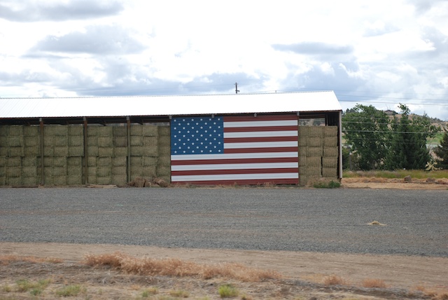
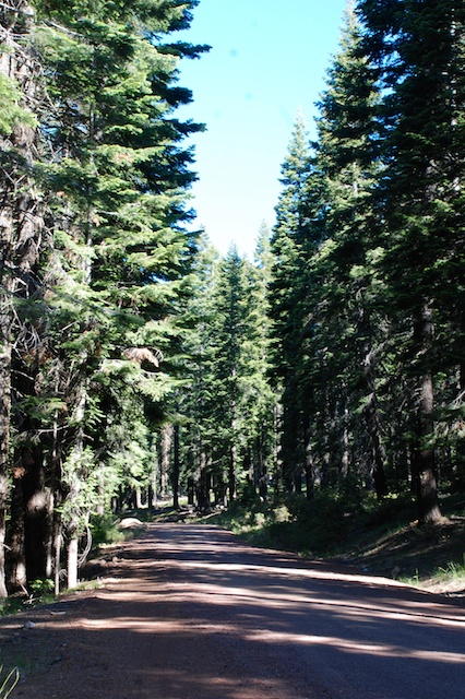
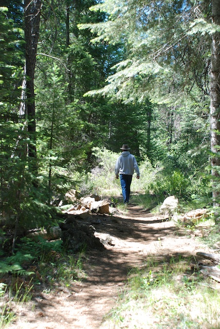
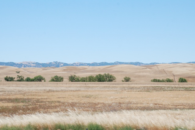
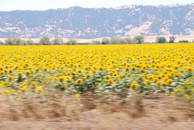
November? It was in the high-70’s where we went hiking today. Dan chose the hike from his northern CA hiking trail book and said that we would go 6.3 miles. When we got to the trail head behind the Fire Station in Cool, south of Auburn, we found out that there was a mountain bike race in progress. So we chose another trail leaving from the same place but our 6 mile hike ended up being 10 miles. For Rusty’s version of the day (and more dog photos) see his blog.
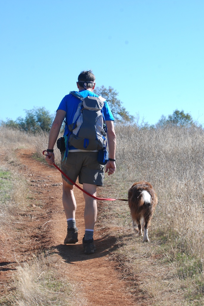
This was very pleasant weather for hiking but it is NOT what we should be seeing in November. There was green grass that germinated with the rain that came over a week ago, and is growing well with the warm weather, but it’s all going to die if we don’t get more rain. That is what happened last year and the hills remained brown and gray with no feed for livestock or wildlife.
Although the situation is dismal if it stays dry, the country is still pretty and the day of hiking was invigorating.
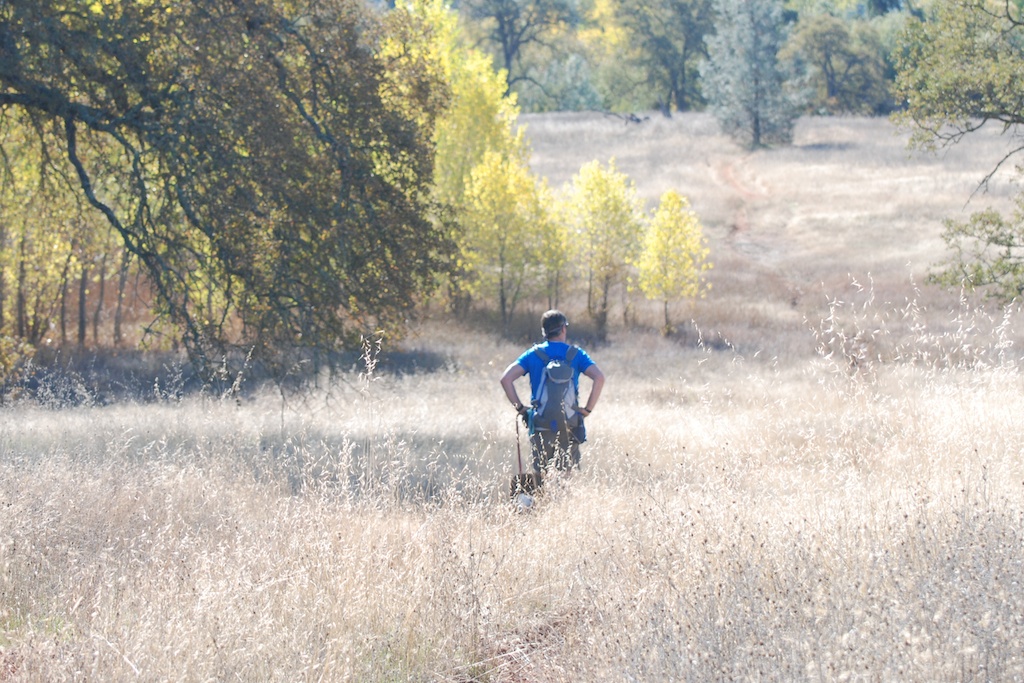
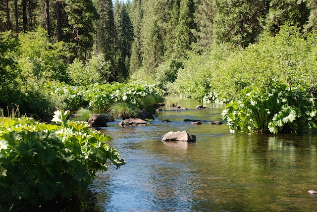
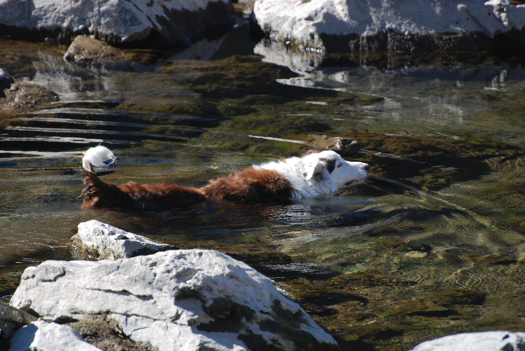
There was no water until we got to the river and the dogs were certainly glad of that. This is the North Fork of the American River.
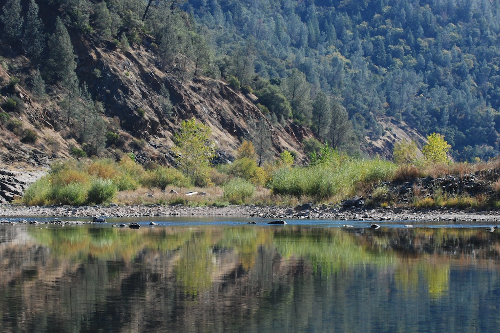
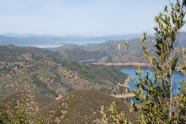
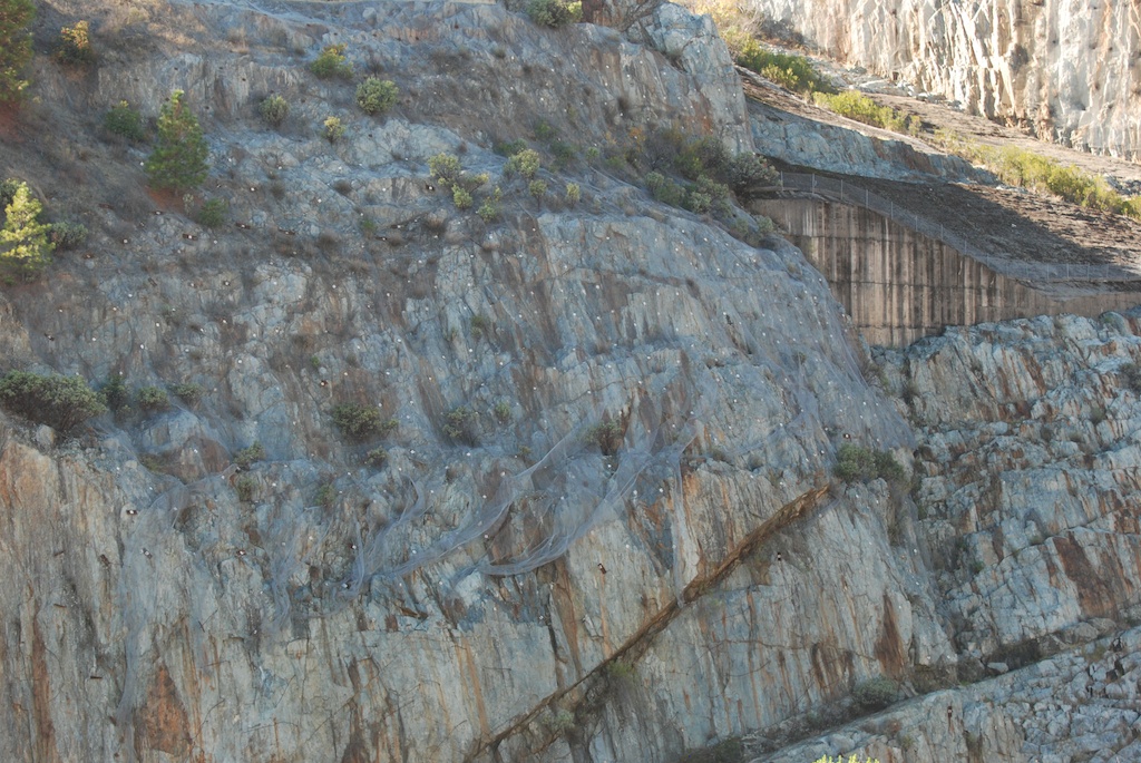
We ended up at the river at the site of the proposed Auburn Dam. I didn’t remember any details about that, but looked up the information after we got home. Construction began on this dam site in the late 1960’s. In 1975 there was an earthquake that was determined to be the result of the weight of the water behind the Oroville dam that is 50 miles north of the Auburn site and was completed in 1968. This caused a delay in the dam construction while the plans were redesigned. Ultimately, cost, potential seismic risks, and relative benefit of the dam site caused it to be abandoned although there were several attempts to resurrect it. I read one report that said that this dam would have been three times as wide as the Hoover Dam but the reservoir that would have filled the North and Middle Fork canyons would hold only 8% of the water behind Hoover Dam.
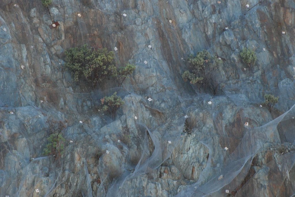
I didn’t take many photos of the remnants of the dam construction site, but the massive undertaking is obvious. This photo is a detail of the one above, looking across the river. I assume that those white spots are bolts of some kind. The whole wall is covered with cyclone fence as is the wall to the right in the photo above.
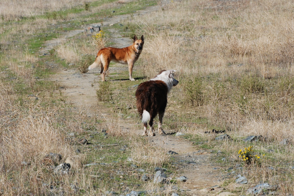
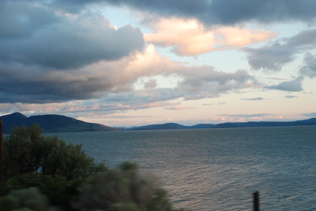
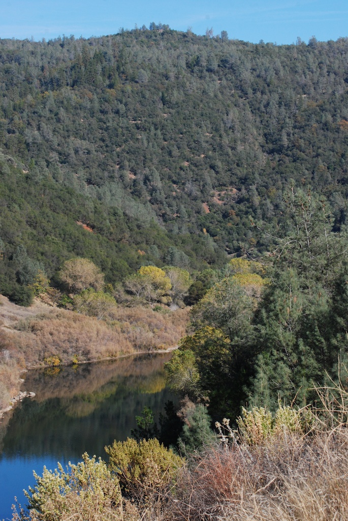
This is a view up river of the dam site.
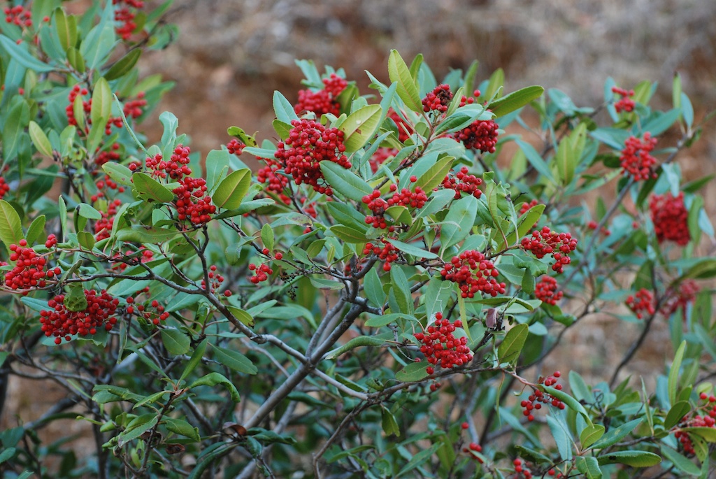
Toyon berries.
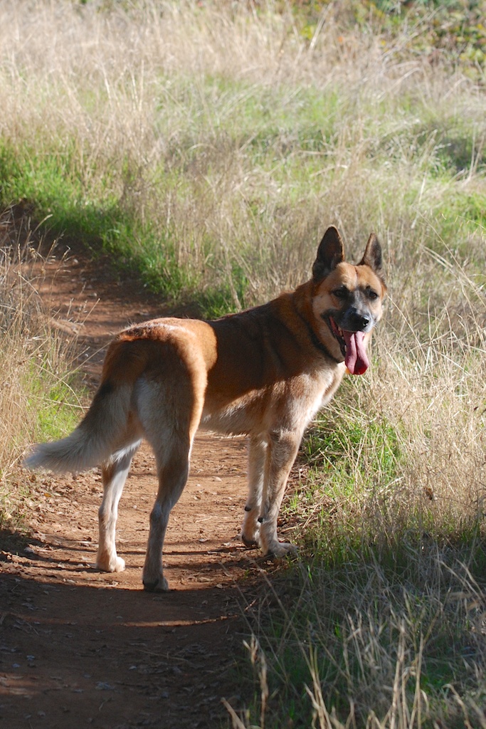
It was a good day of hiking. The dogs are tired tonight.
Tag Archives: California scenery
New Perspective Across the Road
Thanks to all of you who told me that you like seeing photos from Across the Road. We have only 10 acres here so we appreciate being able to share the farmland that is across the road.
I took my macro lens to the repair shop this week and saw that they had used equipment for sale at good prices. So I bought a 70-300 mm lens. My other lens is 18-135 so this gives me a whole new perspective. What fun!
That is the base of the corn that was harvested a few days ago. There are photos of the harvest in Rusty’s blog.
Yesterday’s plowing makes beautiful patterns.

With this new lens I should now be able to get all those fantastic wildlife photos I’ve been missing. So I had my eyes open for wildlife. I was able to get a photo of a critter den just after they (muskrats?) plopped into the water.
The only birds I saw were crows and doves. Oh Oh. I forgot to touch up this photo to remove the spots. I found that I have the same spots on my blue sky with this lens as with my other one. That means that there is dust somewhere inside the camera. That can’t be good.
I caught interesting spider webs…
…close up.
Here is few of our property looking across the harvested corn field. This is with the old lens at 135 mm…
…and with the new lens at 300 mm.
Maybe no wildlife but I found other things in the trees. There are some great photos of Rusty and Maggie, but I let him use those for his blog.
Road Trip – Days 8 & 9
After leaving Imperial Stock Ranch in Oregon we were heading home. There are a lot of landscape photos at 70 mph in this post. I could have left out the blurry ones, but…hmmm…then I wouldn’t have all the impressions that I want to remember. Sorry. It makes me appreciate other people’s very sharp photos that much more.
The trusty green truck that Dan got for $5 when his dad moved to Hawaii. Landscape off Hwy. 97 in north-central Oregon.
Sunset over Klamath Lake in Oregon.
It was dark as we were looking for a place to camp along the road in California. I realized later that Dan had an ulterior motive for wanting to make it as far as Military Pass Rd., off of Hwy. 97 before it joins up with I-5. If you want to hike the north or east sides of Mt. Shasta that is where you find the trailheads and he wants to do that trip before he goes back to teaching in August.
We found a place off the main road, ate what was left in the ice chest, and went to sleep. This is what it looked like in the morning.
This is the view from our “campsite”.
It’s always a thrill to see Mt. Shasta when you drive into California from the north. The peak is 14,162′ and Shastina to the west is 12,330′. 
We spent the morning driving the roads that circle Mt. Shasta to the east and finally join up with the highway to head south.
We stopped several times at campsites and trails along the beautiful McCloud River.

Finally on the last leg home. No more stops.
Passing Shasta Lake, indicative of California’s severe drought. This is only June and the lake should be filled with snowmelt.
Dry hills typical of the Mediterranean climate of California. Most parts of California have dry summers and wet winters. We depend on the winter rain and snowfall to fill reservoirs and replenish acquirers to be able to produce the abundant agricultural crops that California is known for.
With irrigation this is what the Central Valley looks like. This is a rice field.
This land is usually brilliant green from about October into April. The brown landscape is normal for unirrigated land. However, last year we had an early rain (September?) and then nothing. What grass germinated died. Many ranchers who depend on the fall grass to feed their cattle and sheep had to sell their livestock. The next rains came in January and they were meager. There was not enough rain or snow, especially following other years of relatively dry conditions, to catch up. You can read about the affect of the drought on California’s farmers and ranchersat Voices from the Drought on Facebook.

Harvesting hay.
Sunflowers at 70 mph. The dry hills are typical of California in the summer. The valley crops are grown with irrigation water.
Well, I got sidetracked into a semi-documentary. These photos in Yolo and Solano Counties meant that we were getting closer to home.
Here is who greeted us when we pulled in (my camera doesn’t seem to be doing any better at 0 mph).
We had a wonderful trip but it’s good to be home.
Backpacking at the Lost Coast – Day 2
The goal for this morning was to hike south to Miller Flat where we would spend the night. 


After we set up camp I did some more exploring. Walking another mile or so was no problem once I was able to ditch the pack. The scenery and flowers were spectacular.

Wild iris.
As I’ve said in other posts the poison oak can be very pretty although its definitely best to avoid it.
Back at camp there was no shortage of wildlife, although I wasn’t able to do much about photographing sea lions or a river otter with my 40mm lens. (I tried, but won’t bore you with those photos where you have to know which speck is the subject animal.) 
Kaleena was photographing one of her favorite flowers right next to camp and was about to step over a log when she saw this:
It eventually slithered under the log. Maybe the beach is a safer trek.
My kids could be active-wear models.
This made me nervous. Matt wanted to get photos of the surf as it rolled in under his camera.
Another great dinner. This time it was mac and cheese with fresh veggies followed by s’mores with your choice of graham crackers or fresh apple slices or both.
Of course there was always trail mix for snacking.
Sunset on the beach.
The colors of the sky and ocean changed to pinks and greens as the sun went down.
My tent at dusk. (Rainfly necessary this night.)
Backpacking at the Lost Coast – Day 1
My son and DIL invited me to join them and a couple of their friends on a backpacking trip to one of their favorite spots. According to Wikipedia, “the steepness and related geo-technical challenges of the coastal mountains made this stretch of coastline too costly for state highway or county road builders to establish routes through the area, leaving it the most undeveloped and remote portion of the California coast”. Since Matt and Kaleena did all the planning, food prep, etc all I had to do was gather up or borrow the right clothes and gear.
We drove about 5 hours north to a campsite outside of the town of Honeydew in Humboldt County where we spent the night. The next morning we drove to the the Kinsey Ridge Trailhead to begin the hike.
I borrowed backpack since I couldn’t find mine (and the last time I had used it was about 30 years ago so this one was probably a little better).
There was a four mile trek down the mountain to get to the beach. After that the trail is along the beach or through meadows just above.

Every mile or so there is another river running out of the mountains into the ocean. This was where we camped the first night.
Time to unpack the dogs and relax a bit.
First order of business was to secure our site by setting up the tents. There were not very many people hiking the area, but Matt and Kaleena have their favorite spots and you can’t exactly reserve a site.
This is the view of the ocean from inside my tent. No rain fly needed the first night.
Matt and Kaleena’s friends didn’t bring tents but constructed a temporary shelter from the wind with rocks and driftwood.
Next it was time to explore the area and wash the poison oak off the dogs.

Matt was the chef.
He and Kaleena had prepared enough veggies to last us for 3 dinners.
After watching the sun set over the ocean…
…we enjoyed s’mores back at camp before turning in for the night.
Golden Day
I drove to Ione in the foothills today to see my uncle. On the way home I took a meandering route and stopped a couple of times to enjoy the green hills and spectacular wildflowers. With the 80+ degree temperatures this week and probably no more rain, this won’t last long. I took dozens of photos but these are my favorites.
I usually think of poppies as orange but these are yellow.

This is another stop. Whenever I see fields of flowers I think of Beecher Crampton, a lecturer at UCDavis who taught a class on Wildflowers of CA. I am annoyed that I can’t remember the names of all the flowers I see, but some of them pop into my head when I see the flowers up close.
Those mounds of white flowers look like this close up. I’m pretty sure this is Meadow Foam (Limnanthes).
What about the yellow ones?

I think these are Goldfields (Lasthenia) but I’ll stand corrected if anyone knows for sure.
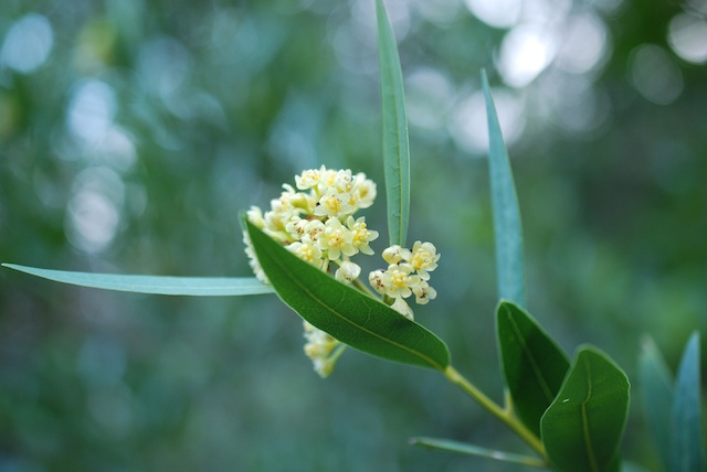
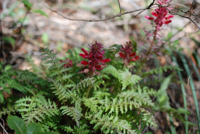
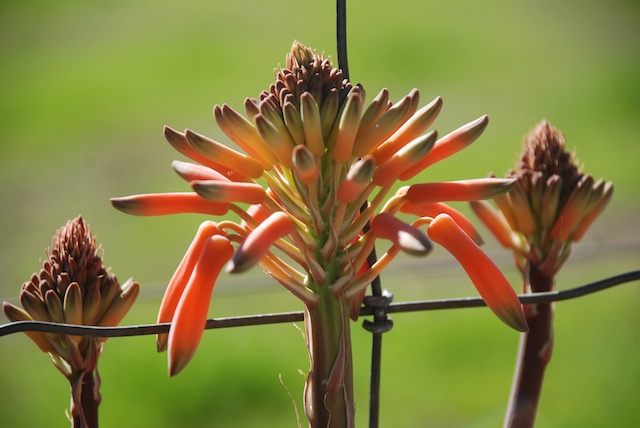
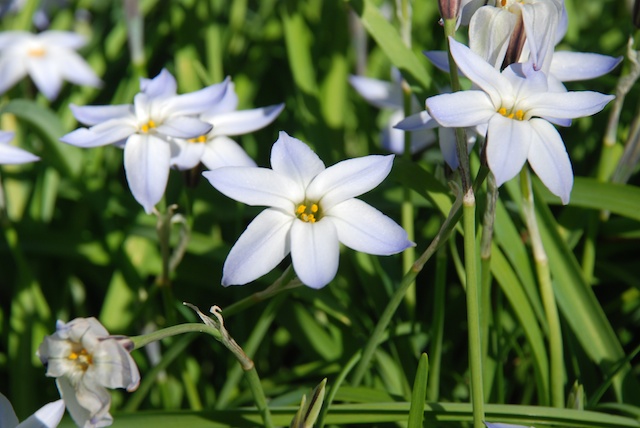
When I saw this popcorn flower popped into my head (unintentional pun) but I don’t know if that is correct.
And what about this one? A Brodiea species?
Even if I don’t know the names I can certainly enjoy them and enjoy the California scenery.
Pinnacles National Park, Part 2
Does a 2-day camping trip warrant 2 blog posts? For me it does because we don’t do this very often. And I took lots of photos.
We discovered that we did sleep relatively all right in the truck, although I was told that I had more than my share of the “mattress”. Huh!
The next morning we checked the map and chose the hike for the day.
This was the first leg of a 5.5 mile hike. Notice the word Condor. I took my binoculars on this hike, determined to identify a condor this day. Pinnacles is one of the few remaining areas where the endangered California Condors live and nest.
This trail winds up the mountain and behind those peaks in the distance.
Getting closer to the peaks. At this point we talked to a wildlife biologist who was using an antennae to try and pick up a signal of the condors who are banded with transponders. She said that they do nest in these cliffs but today she hadn’t found any. They don’t always stay in the park area. We saw plenty of soaring birds but they kept turning out to be buzzards.
More of the trail.
This is coming around the west side of those peaks. The vegetation was somewhat different than that of yesterday’s hike except for one plant.
There was plenty of poison oak, although these trails are wider than those on our Stebbins Cold Canyon hike so it’s easier to avoid. I was struck by the beautiful shades of green in the poison oak.
Color abounds.
This was an interesting trail. Notice that railing under the overhanging rock.
The Park Service (or maybe it was the CCC years ago) thoughtfully provided steps (and, thankfully, railings) so that hikers could get over these rocks.
The views are worth the climb.
What would a hike for me be without a few flower photos? Believe me, I took many more than this even though, due to the dry conditions in Northern California, there was not the abundance of wildflowers that I think there would normally be at this time of year. I think I have identified this as a patch of California Gilia (Gilia achilleifolia).

I think that this plant is Wild Cucumber or California Manroot (Marah macrocarpa). What we noticed on this hike is that the spiralling tendrils that look like a telephone cord (yes, that dates me) start out straight. When the straight tendril touches something it coils and hangs on. Amazing.
As usual I tried my hand at wildlife photography. Those bee photos are the only ones I’ll show. The bunny, the crow, and the lizard weren’t all that great. The condor look-alike perched on a branch turned out to be a buzzard when I looked at the photo close-up. 
This looks like condor country to me…
…but this was the closest I got to a condor. Good trip anyway.
Pinnacles National Park
Last week was Dan’s spring break and we took two days to go camping while my son was in charge of all the sheep including the last few ewes left to lamb.
We got to Pinnacles in the middle of the afternoon, secured a campsite, and went on a hike.
We didn’t have a plan other than to start with the trail that goes through one of the caves at the park.
These caves are sometimes closed when the bats are raising babies, but they were open at this time.
This cave is not one big chamber but a series of smaller chambers connected by narrow passages under overhanging rocks, following waterways, or up stairs.
This is the exit of the cave. These photos don’t do justice to the scenery. In fact I was disappointed in my photos from this trip because they all seem so washed out. I think I’m regressing as an amateur photographer. (You’ll be glad that I didn’t include my wildlife photos in this blog! I don’t think National Geographic will be calling me anytime soon.)
This view is that exit but looking back down the stairs. We came out of the cave to this small lake.
We looked at the map and decided to hike the trail that went southwest to North Chalone Peak. It was getting late in the day but since we were camping there it didn’t matter when we got back as long as it was still light.
This is the view from part way up the trail looking back down to where the cave entrance. Do you see that small lake at the bottom center of the photo?
We didn’t know what to expect at the end of the trail until we came around another corner and saw what looked like a fire lookout in the distance.
Here is what it is like close up.
And this is one of the views from the peak. This turned out to be an 8.5 mile hike so we both felt glad to get back to camp and put our feet up.
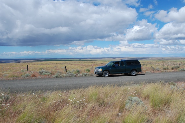
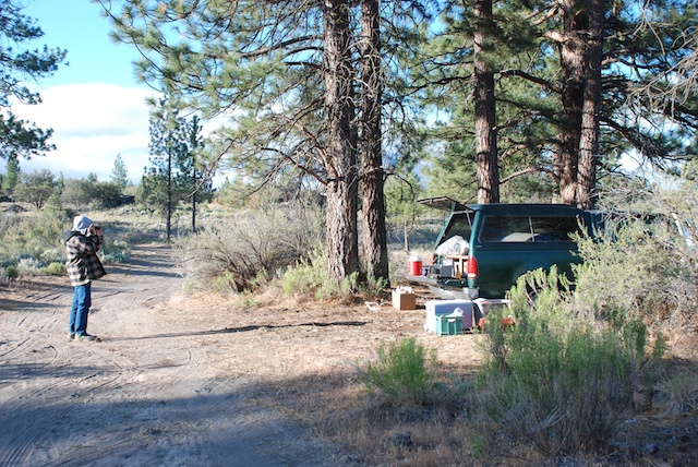
We used this one-night camping trip as a trial run to see how we liked sleeping in the old green truck because we are thinking about a road trip during the summer. It wasn’t like home, but was much better than sleeping in the back of the Explorer at the Grand Canyon a few years ago.
To be continued…
Hiking Close to Home
Dan suggested hiking today. The closest place for a hike is to go to Stebbins Cold Canyon Preserve in the Blue Ridge Mountains southeast of Lake Berryessa. There is a five-mile loop trail that has enough elevation change to make you feel as though you had a workout, especially for us flat-landers.
Do you see those switchbacks on the map? The rest of that isn’t exactly flat. This was perfect timing to hike in this area. We finally had enough rain for grass and wildflowers to grow (although not nearly enough rain to make up the deficit).
Dan walks. I keep stopping to take photos and then I catch up. This is the lower part of the area in Cold Canyon where there is a lot of greenery. It is a completely different ecosystem than what you find up on the ridge.
It is good to stay on the trail because there is poison oak everywhere. Even if dogs were allowed on this part of the hike I wouldn’t bring them because they would be covered with it.
The interesting flower of CA Dutchman’s Pipe or CA Pipevine (Aristolochia californica).
California Bay Laurel (Umbellularia californica)
Shooting Star (Dodecatheon)
Wild cucumber or California Manroot or California Bigroot (Marah macrocarpa). The flower books say that the root of this deciduous vine may weigh 50-100 pounds.
Indian Warrior (Pedicularis densiflora) is parasitic, attaching to the roots of other plants.
As you leave the canyon and start climbing through the chaparral the vegetation changes. This is a beautiful big digger pine.
Did I mention the poison oak?
View of part of Lake Berryessa.
More climbing to do before we start the downhill.
We didn’t get enough rain this year for the grass to grow up through last year’s old dead grass. Those hills are faintly green, but not enough.
Dan recovered my lens cap after it rolled several feet down slope. Most of that is not poison oak, but “most” isn’t “all”. My hero.
Too Soon for Spring but…
After I published the last post (a bunch of seemingly unrelated ugly photos) I thought it was pretty stupid. I do have something to tell about how they all relate, but that story will wait until I get around to it and in the meantime I have deleted it. This is a better bunch of photos that I took yesterday on the way to the barn.


