Sunflowers-April through June

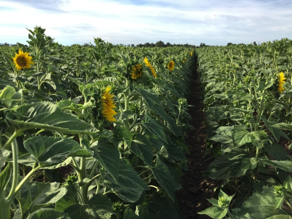
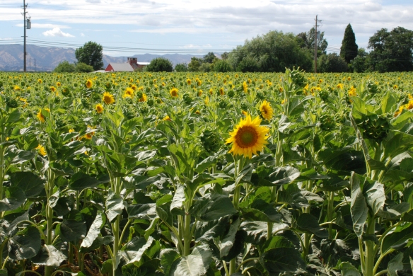
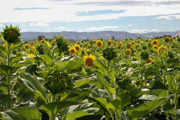
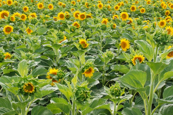
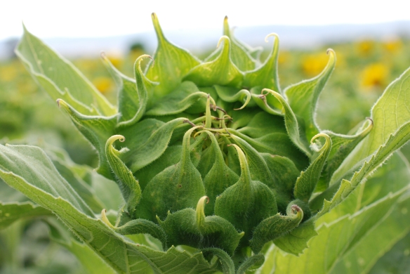
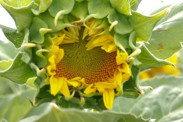
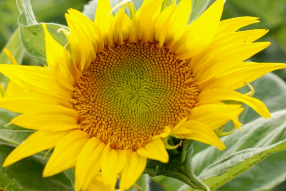
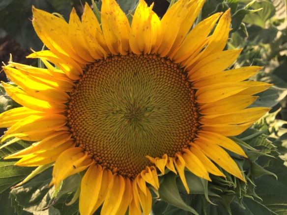
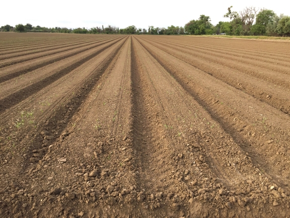
We have only 10 acres here, but having the field Across the Road makes it seem as though we have much more. We are careful to be good neighbors and we are grateful that we have permission to spend time exploring that property. So I feel kind of like the crops grown there are mine although I have none of the work involved.  This summer’s crop was sunflowers–one of my favorites. I have way too many photos so I’ll break this into two posts.

img_0682

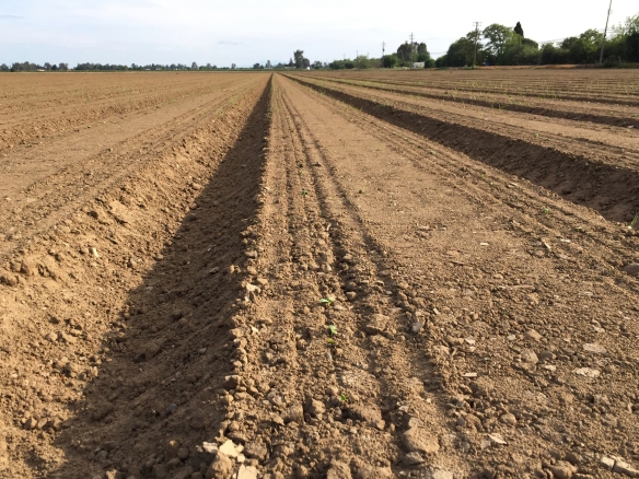
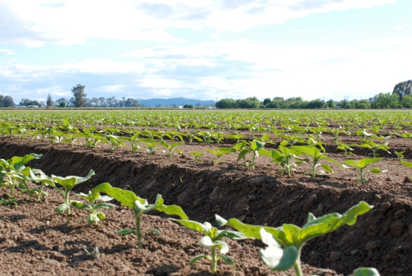
April 12. You can just see the tiny plants.

sunflowers-sprouting

dsc_8711

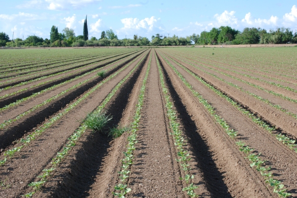
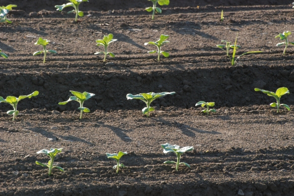
April 27

dsc_8423dsc_8669dsc_8674

20160502-img_1064

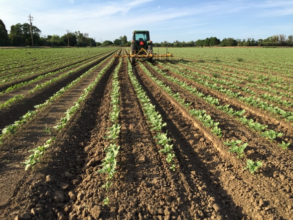
May 2. Cultivating.

20160611-img_1797

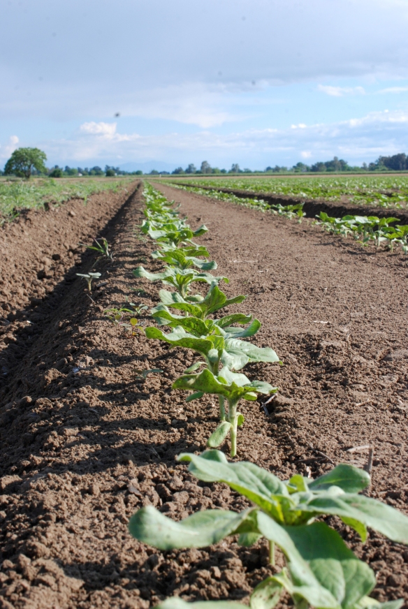
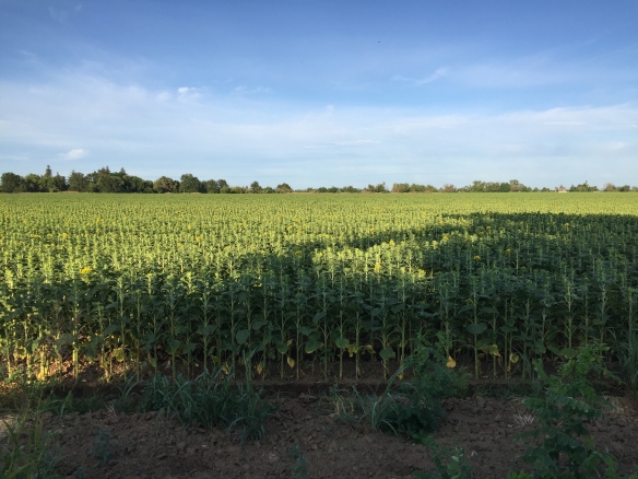
June 11. They’re growing up. I sound like a proud parent.

20160611-img_1799

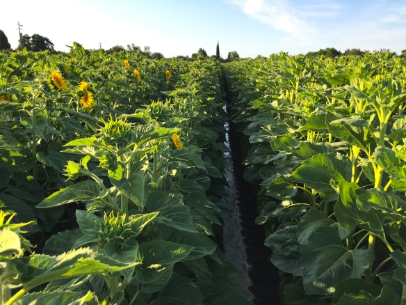
The rest of the photos in this post were taken throughout June.

20160608-img_1758

20160615-dsc_0162

20160615-dsc_0193

20160615-dsc_0203

20160615-dsc_0206

20160615-dsc_0207

20160615-dsc_0208

20160611-img_1807

20160615-dsc_0209

20160615-dsc_0210

A Sheep Adventure – Part 2

I forgot to put a couple of photos in the last post. Besides the BearFest that was going on through the summer in Grants Pass, there was also a Fifties celebration the week we were there. There was a car show that evening and here are some cars that we saw in the motel parking lot.

IMG_3258

I have no idea what they are but I took these photos to show my husband.

IMG_3260

IMG_3261

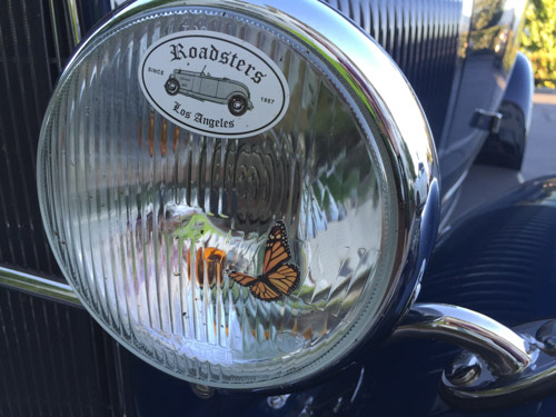
This is not how butterflies normally look on my headlights.

We got on the road about 7:30 and drove to Selma, Oregon where Jackie’s sheep had been delivered the day before. She was picking up two English Leicesters that came from Michigan.
IMG_3266

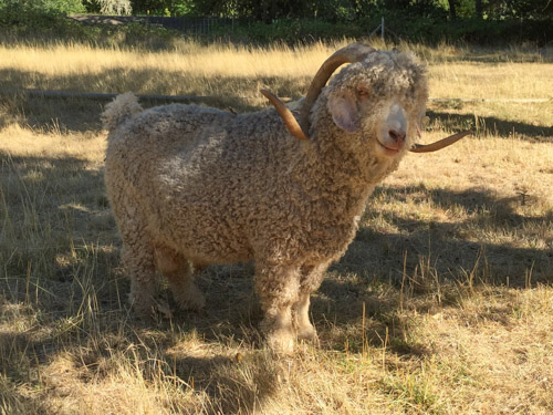
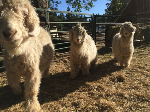
Carol Ronan graciously took time to give us a tour of her beautiful farm. She raises Angora goats (above) and Gotland sheep (below). Information about her sheep and goats (and the beautiful farm which is for sale) is at this link.

IMG_3276

IMG_3278

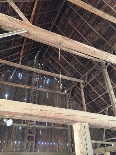
The animals have access to this 100+ year old barn that has been reinforced and given a new roof (which will probably give it another 100 years).

IMG_3281

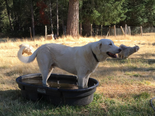
I don’t remember the dogs names but this was an older one who put up with the nosy sheep.
IMG_3284

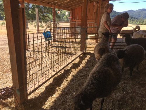
I took this photo because I wanted to remember this oh-so-simple feeder idea. That welded wire panel is not a fence. There are two panels attached to a 2×6 at the bottom and to posts with slightly tapered pieces of wood on the sides. Perfect for dropping in a flake of hay and feeding on both sides.

IMG_3290

We walked to the field with the bucks…IMG_3292
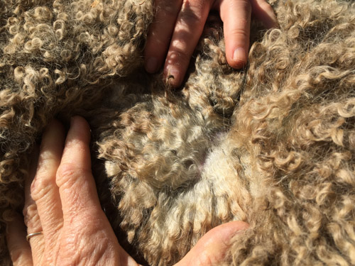
…and examined fleeces.

IMG_3295

IMG_3297

IMG_3298

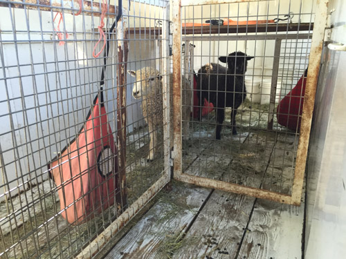
Here are Jackie’s new sheep who had been housed in the trailer overnight.IMG_3299

They were easily switched to my truck and we got on the road. There are not too many photos of the part of the trip that became more of an adventure. I didn’t want to backtrack to Grant’s Pass and I-5. BORING. If you take Hwy. 199 south from Selma you can turn off onto a road that winds its way through the rugged Siskiyou Mountains to Happy Camp. It wasn’t a good idea for me to be taking photos while driving on this road that was full of switchbacks and Jackie probably would have thrown my camera out the window. We didn’t stop because we had spent a lot of time at Carol’s and had planned to make the next stop by mid-morning (weren’t going to make that) and get home in the afternoon, trying to avoid being on I-5 through Redding at the hottest part of the day.

IMG_3307

At Happy Camp we turned east onto Highway 96 and watched for landmarks until we got to this sign and across the road…

IMG_3306

…this bridge where we crossed Horse Creek and drove north along hillside edging a green valley . We were supposed to go 2 miles and find the correct street address for the farm where my ram would be. We saw a few numbers on mailboxes, passed what should have been the right place, found a place to turn around and chose a driveway that seemed to be in the right place. We drove in past barns and farm equipment but didn’t see a house, sheep, or any signs of someone looking for sheep buyers who were late. We drove out of the driveway, down the road and chose another driveway with the number that would be the neighbors to the place we were looking for.

As I drove down the steep driveway, several large dogs ran out barking. However I saw someone looking through a window and waited for him to come out. He wasn’t happy about seeing us and told us to go back up the road and take the driveway with “the lifetime gate”. “Can I drive forward and turn around down there?”, I asked. “No” was the answer. OK then. I’ll back up the steep rocky driveway that has a sharp turn onto the road and a steep drop-off to the side, while trying to see the end of my truck through the plywood sheep crate on my truck. I did that with several back and forths and only one minor mishap.

IMG_3302

Finally backing into the road in the wrong direction we drove down it again, passing this sing, turned around and came back. (Note: When my sons have fought fires in these mountains they have been turned away from entering access roads to the forest by surly land-owners. The firefighters are warned by their supervisors to be careful in or avoid areas where they have spotted marijuana or equipment for growing or harvesting.)

So we took the same driveway we had before with the barns and cattle equipment. Steep-Driveway-And-Big-Dogs-Guy was there to meet us, having gone from his house, across the creek, through the barns, to this upper driveway. He pointed and said “no, go back to the lifetime gate”. Lifetime gate? When we looked more closely there was a closed gate down a dirt road that branched off to the right of this main driveway. Jackie opened the gate and we drove into what looked like a little used driveway that stopped before you got to a house where I could hear children. So at least someone was home.

IMG_3303

I found the sheep owner who strapped her baby on her back and we walked out to the barn with other kids running beside us. We arranged bales of hay to create a step up into the truck and loaded the ram. She pointed us out a dirt road that  ends up on a different paved road which seems to be their main access and is “easier”.

IMG_3305

This is the field (sheep in the distance) that Kenleigh’s Legolas left behind.
IMG_3308

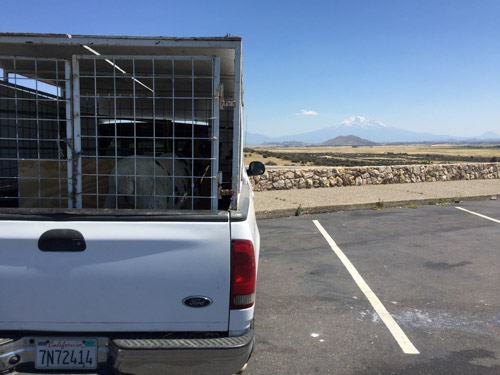
We drove east through Yreka to I-5 and headed for home. I always stop for a photo at this overview of Mt. Shasta. We stopped several times to check on the sheep. There was really nothing we could do about the heat but the truck thermometer was showing 108 (or was it 109?) through Redding. It was in the 100’s for most of the trip, but the sheep survived. I didn’t dawdle, wanting to get them out of the truck as quickly as we could.
IMG_3311

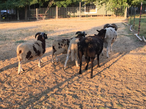
I put Legolas in with the young rams and a wether. They followed him around for awhile.

DSC_1605

There was fighting among themselves, but not with Legolas, because it was obvious that he would be the dominant ram of the bunch.

DSC_1606

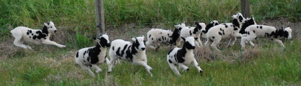
This will be the first year that I will breed the bulk of the flock to 2-horned rams. There is Kenleigh’s Legolas (Lego for short), Meridian Catalyst, a 2-horned lilac ram, and bide a wee Buster, the younger ram with 4 horns.
Road Trip to Colorado-Bodie & Beyond

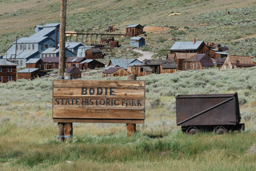
The first post about our trip is here. One the first day we made it to Bodie State Historic Park near the California/Nevada border with about an hour and a half before the park closed.

DSC_0715

W.S. Bodey discovered gold here in 1859 but he died in a blizzard several months later, never seeing the town that was named for him (although spelled differently). A mine collapse in 1875 revealed a rich body of gold and the boom time of the town was during 1877-1881 when there were 30 mines, 9 stamp mills, and 60 saloons. As the boom years ended population declined quickly into the 1900’s. Mining continued until 1942 and the family of the last major landowner continued to protect the town from vandals. In 1962 the CA State Parks purchased the town to protect it. It remains in a “state of arrested decay” without the intent to reconstruct it.  The  non-profit organization, The Bodie Foundation was created with the goal to raise funds to assist with stabilization of structures as well as education.

DSC_0730

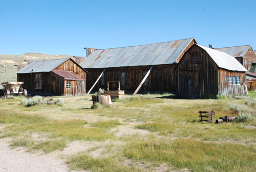
View of what is left of the town from above. At it’s height there were probably 8000 people living here. There is an interesting mix of eras remaining–houses built in the 1870’s, gas pumps from the 1920’s, and a school that was used until 1942. DSC_0725

DSC_0737


DSC_0721

DSC_0717

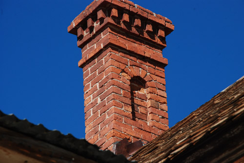
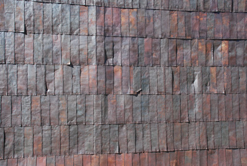
The walls and roofs of many of the buildings are covered with flattened tin cans.DSC_0726

DSC_0736DSC_0157

Dan took this photo because he liked all the different roof lines.DSC_0734

I like the design of the tin here, but I was really trying to take a photo of one of the violet green swallows that were zooming around. I got this one just as it flew into the corner of the roof.

DSC_0734-2

Do you see the wing tips under the roof line?

IMG_2581

IMG_2580

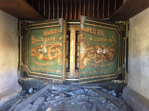
The brick vault is all that is left of the Bodie Bank after a fire in 1932.

IMG_2579

This is the safe inside the vault.

IMG_2577

Due to safety concerns the Standard Consolidated Mining Company’s Stamp Mill and other buildings are not open to the public except by guided tour. It is on the hill above the town and was only one of thirty mining companies in the district.

After our visit to Bodie it was time to get on the road and drive until we found somewhere we wanted to stay for the night.

IMG_2596

Coming down the mountain towards Mono Lake the truck rattled and shook every time Dan used the brakes. Then we heard a thwump, thwump. One of the front tires was beginning to shred, but fortunately still held air. Dan changed the tire and we knew that we needed new tires. It was too late to find anything near Mono Lake so we decided to continue on. We turned east and spent the night at a rest stop outside Tonopah, NV.

IMG_3063

The lower pink line is the first day of this trip.

Next up: on the road to Arches National Monument.


Road Trip to Colorado-Day 1

VACAVILLE TO BODIE

We just completed our annual Road Trip. Last year it was to see my daughter and her family in Texas, exploring Arizona and New Mexico on the way. If you’re interested the blog posts about that trip start with this one. This year the goal was  to meet up with my husband’s brother and sister in Leadville, Colorado on July 9 and do some site-seeing and camping along the way.

IMG_2563

I do use my iPhone for maps and interesting info along the way, but it doesn’t do you much good when the phone says “no service”, which it did a lot on this trip. Besides we like to follow along with the detail in these map books as we’re driving. They are also invaluable at finding places to camp along the way.

DSC_0686

We started east on Hwy. 50. I always get a kick out of this sign when entering Sacramento.

IMG_2565

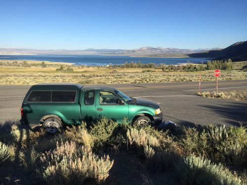
I’m glad that Dan likes to do most of the driving because it leaves me free to watch scenery and take photos from the truck. This was another journey for the old green truck.

DSC_0693

This is some of the evidence of last year’s fires in the Sierra Nevada Mountains.

East side of Sierras

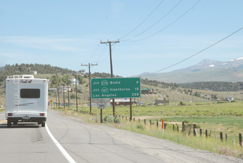
We joined up with 395 on the east side of the Sierras. Beautiful. Most of the country on the east side is considered the high desert, but the West Walker River is at the base of the mountains and other creeks flow out of the mountains that are east of the highway. The valley is lush and this is cattle country.

DSC_0696

Our plan was to first visit Bodie, and old mining town in Mono County, California. Bodie had been a favorite haunt of Dan’s dad and he wanted to check it out.

Disclaimer: Let me say here that a lot of my travel photos are DBP (Drive-By-Photography). Some are from the open (or maybe not) side window and some are through the bug-splattered windshield.  I’d rather read (and write) blog posts that are more photos than text, so I’m using what I have. Even my good photos will never be National Geographic quality, but these posts are about the story. So here we go.

DSC_0706

We turned off of 395 onto Bodie Road (270). The country is mostly desert, but again, where there is water the desert is kept away. I was excited to see sheep on the way to Bodie. This was not a fiber trip, but sheep are always a good sign. I tried counting these from a photo and I think there are about 600 sheep with 4 guardian dogs and a herder. They were moving up this valley when we drove to Bodie. (The next post will  be about that.)

DSC_0745

When we left Bodie two hours later the sheep were back in the middle of the valley and had been going to water in an irrigation ditch at the right of the photo. They were moving away from the ditch and back into the valley. We stopped and watched awhile.

DSC_0750

When I enlarged the photos I could see about 17 black-faced rams in with the ewes.

DSC_0759

The band started moving up the valley on it’s own but that was obviously not the plan the herder had. He and his Border Collie walked out to the road and up in front to cut them off. The Border Collie turned them while the guardian dog in the center of the photo went to get a stray.

Near Bodie

But back to Bodie. Here is the landscape without water.

DSC_0715

Stay tuned for the next post.

Random Thoughts in Photos

Seen while driving in town the other day…lumber patternI liked the patterns of the wood. I especially noticed the part that doesn’t show up very well here but the bottom right where the heartwood (I think) makes the half circles. Weaving ideas.IMG_8433Also while driving. I was on Pedrick Road east of Dixon. I really wanted a photo of the snow-covered Sierras. It’s been awhile since we’ve had that view. The lens on the phone makes the mountains too far away for that shot, but I like seeing the train.IMG_8434In this shot too.IMG_8337I may have shown this photo before, but I like this sunset view. It makes the mud and swampy “lake” worthwhile.IMG_8329And speaking of lots of water, this was a result of the last storm that came through. This is a very old fig tree that the kids used to play in a long time ago. Note the steps and the treehouse platform. The roots of this tree have been rotten for some time and the dogs often found something to bark at in the hole in the trunk. giraffe sculptureI’ll bet you didn’t know that we had giraffes in Solano County. These two are about a mile from here where I take Ginny to herding lessons.IMG_8407And while we’re talking about herding, this is Ginny working “her flock” at home.

A White Christmas

We spent a lovely Christmas Day with my son and other family members. We got there in the morning before everyone else so that we could spend some time in the forest that is their backyard. I am not a snow person, but I can brave it occasionally, especially when the sun is out, and I’ll admit that it was a nice touch to have a beautiful snowy view from inside Matt & Kaleena’s warm house with a fabulous woodstove to back up against. The morning began, however, with us  sliding backwards down Matt’s driveway in our Explorer. (I am planning to sell this before the next smog deadline, so no new tires for us.) That little glitch solved (by rocking the Explorer out of the snowbank and then parking at the bottom of the hill), we geared up with showshoes and foot warmers in our my boots and walked down to Jenkinson Lake. DSC_4315

DSC_4271

DSC_4301What time I have spent in the snow has been well after the storms have come through. There is something very different and beautiful about being there immediately after the snowfall…DSC_4310…while the branches are still heavy with snow.DSC_4264

DSC_4263

DSC_4283I loved seeing the snow clear to the tops of the trees. As the sun started warming the trees, snow cascaded from the highest branches.DSC_4295I spent the night at M & K’s (Dan came home for chores and dog duty) and the next day Dan came back and brought Chris and Meryl with him. Then we celebrated our private family Christmas.IMG_8003The younger generation helping the older one with digital issues.DSC_4321Chris plays a mini-flute sporting his new Storm Trooper oven mitt.IMG_8019Here are my sheep/barn related Christmas gifts. My wheelbarrows constantly need their tires pumped up so Dan got the fittings to go on an extra air compressor in the barn. There are tubes and tires for my handtruck. Dog treats from Hawaii. Sheep and dog magnets. All the attachments for my new GoPro (birthday present). Footrot Flats is a comic strip series that I think only a sheep farmer would enjoy. Hand and foot warmers packets that I’ll share with Farm Club in the barn. IMG_8013We took another hike that afternoon. This was a great two-day Christmas celebration with family. And it’s not quite over. The kids are taking us to see StarWars in a couple of days. The only thing missing was my granddaughter and her family but at least we spent a week with them not long ago.
 

Road Trip to Texas – The End

In the last post we had come home to California about sunset, but we were still a long way from home.

We had decided to camp at Joshua Tree National Park, but arrived there after dark. Mid-week, mid-July. No problem finding a camping site. I woke up before sunrise and walked in the desert to get some photos.DSC_7735I didn’t have much luck with great sunrise photos but the good thing about sunrise (besides that another great day is starting) is that the light is great for other photos.DSC_7743

DSC_7753

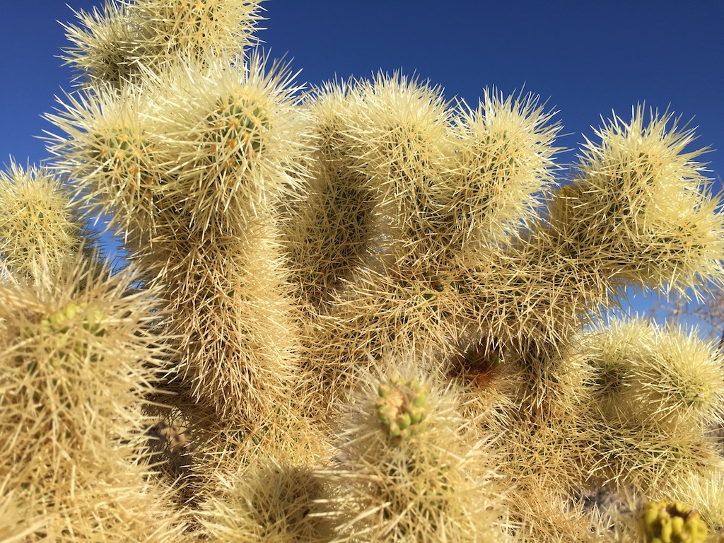
DSC_7758Have you ever seen so many spines?

Joshua Tree NPWe had slept in the truck so it didn’t take long to break camp. We had entered the park from the south and planned to drive through to the northern exit.Cholla cactus garden, Joshua Tree NPWe stopped at the Cholla Cactus Garden, a nature trail constructed through the cholla with warnings to not touch…for your own safety!
Cholla cactus garden, Joshua Tree NP (1) I was not tempted to touch. This “jumping cholla” is known for it’s tendency to attach to a passerby without much provocation.IMG_5402

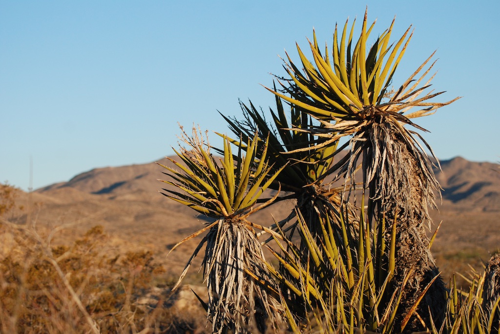
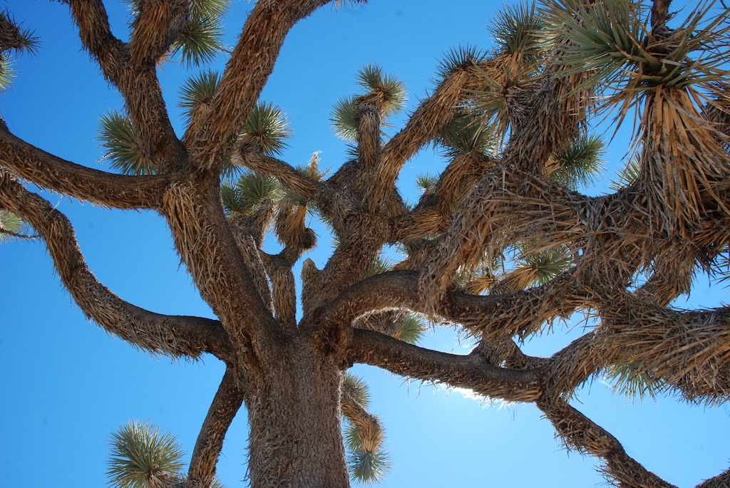
Joshua Tree NP (1)This is what the park is known for–the Joshua tree which is not really a tree, but a species of yucca that can grow to 40 feet tall. The park protects 794,000 acres of Mojave and Colorado Desert.

DSC_7821

Joshua Tree NP (3)

Joshua Tree NP (2)

Joshua Tree NP, from Keys ViewWe drove to Keys View. At 5185 feet, its not the highest place in the park but I think it’s the highest spot you can drive too. You can see the Coachella Valley to the southwest and Mount San Jacinto and Palm Springs to the north (just out of this photo)Joshua Tree NP, from Keys View (1)

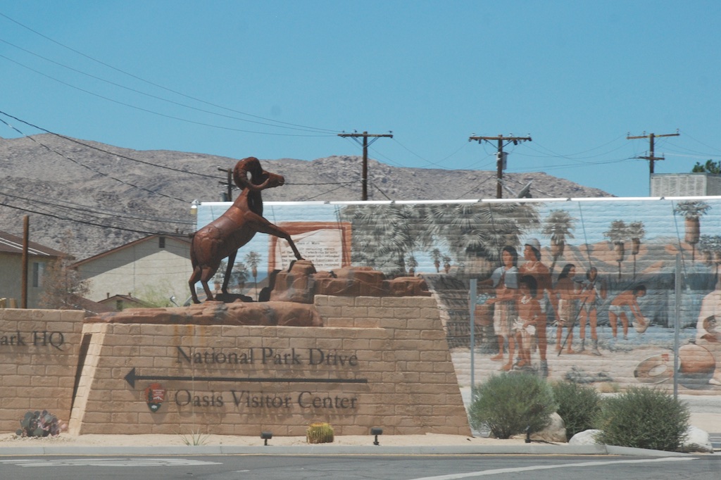
Joshua Tree Park has plenty more to come back to, especially if we could take a vacation in the spring. Can you imagine what it would be like for early settlers? There were miners, homesteaders, and ranchers who tried to make a go of it here and there are remnants of those homesteads and mines. DSC_7838 We stopped at the visitor center on the way out and saw this statue and mural when driving away. After seeing the interesting public art in southern New Mexico and Arizona I wish that I had been on the lookout for it in the earlier part of our trip.Twentynine PalmsLeaving Joshua Tree NP and driving through the town of Twentynine Palms, now the plan was to just head home. California is a big place. The iPhone map showed almost 8 1/2 hours to go.

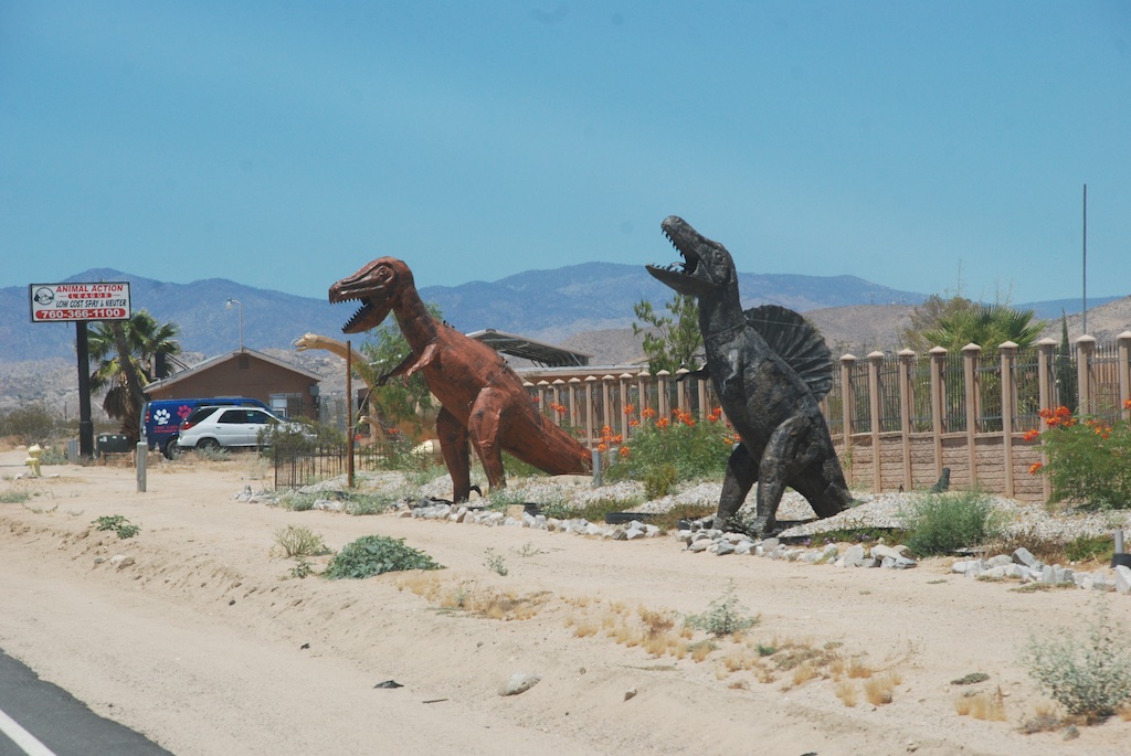
DSC_7843 More public art…or is this private art…or art at all? Amusement.

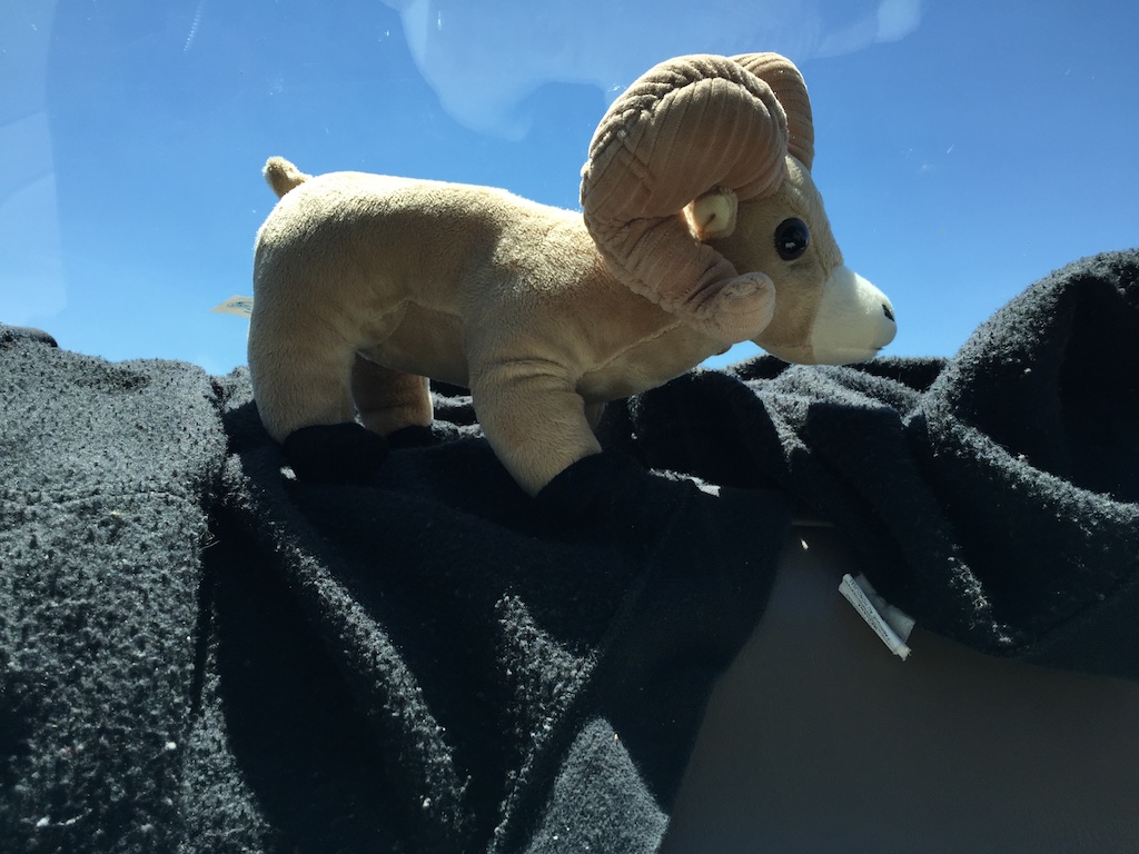
IMG_5426 More amusement. This is the only souvenir I bought for myself (other than the National Park patches, which someday may be sewn to something but for now are on my bulletin board with others). This bighorn sheep now is on my big loom with a collection of other sheep.Oak woodland of CACalifornia oak woodland. Many hours still to go.

looking west from rio vista  Looking west from near Rio Vista. We live on the western side of the Central Valley and those are “our” mountains in the distance.

Road Trip to Texas – Day 1

It is exhausting going on vacation…the part before you actually leave. Thanks to friends and family who are taking care of things while we’re gone.DSC_6828 (1) DSC_6830 (1) Self portrait.DSC_6832 (1) Near Tehachapi from the truck window.IMG_5133 We didn’t leave the house until 1:30 and wanted to get some miles behind us the first day. We finally needed to stop and eat. For the first day or two we planned to eat out of the ice chest using up food from our refrigerator. So we had salads and hard boiled eggs at a rest stop near Boron. Trivia: Did you know that the 20-mule train teams that hauled boron out of Death Valley were actually 18 mules and 2 draft horses?

Usually we sleep in the back of the truck when we need to stop but this time the truck was packed full with some of the things that Katie has had stored at our house. I had visions of the Conestoga wagons carrying the precious possessions that pioneers wanted to have with them. I loaded my grandmother’s secretary desk that I used as a kid, an old trunk that was also from a grandparent, and my grandmother’s delicate tile-topped table into the truck. One of the grandmothers was from New York so the desk and the table (and I don’t remember about the trunk) came from there to CA, probably by moving van and now were being carried in a pick-up truck back east to TX. Stuffed around and in the furniture are things Katie had packed in boxes–Breyers horses, trophies from her dairy cattle showing days, stuffed animals (lots of stuffed animals),  horse tack, lots of other memorabilia, and two oil paintings that my aunt painted. Dan reminded me, as we had to keep unpacking and repacking the largest painting when we needed something from the back of the truck, that the pioneers ended up leaving things along the trail.

Anyway, we brought a tent because we knew we couldn’t sleep in the truck on the trip out to TX.IMG_5136 (2)We drove into the Preserve and took a dirt road watching lightening in the distance. We finally found a place where we could park and set up a tent. The moon was spectacular although not a full moon.IMG_5139Here is what it looked like in the morning.

A Spring Morning in the Pasture

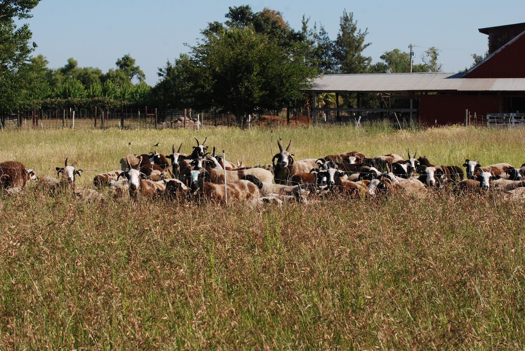
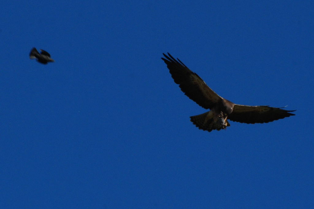
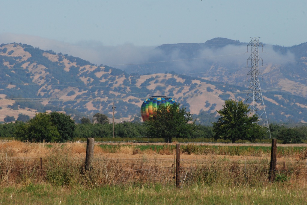
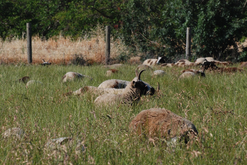
I was going to write this post about ewes and their lambs but found a lot more subjects to photograph–not all sheep.954 Lorreta and triplets Loretta and triplets.Ginseng and lambsGinseng and twins. Look at the horn spread on that ram lamb. They all have lilac coloring.15020 headThis is Foxglove’s ram lamb, also a lilac.Melinda and 15055Puddleduck Melinda and one of her lambs.11086 Alexandra m Alexandria.851 ElizaEliza.DSC_6065It is balloon season. Rusty is hiding in the barn.DSC_6066 These ewes were waiting for me to change the fence and let them into that tall grass but I was distracted by other things. Do you see the bird on the fence behind them? Don’t look too hard for it. See it below.Western KingbirdI looked it up. Western Kingbird. I know my birder friends will tell me if I’m wrong.Western Kingbird (1)I think there is pair nesting nearby. I was mowing the pasture later in the day and they followed the tractor catching bugs. They would zoom off toward the trees and then come back for more. DSC_6083 Balloon getting lower. In the meantime…Hawk with prey…I saw this hawk being harassed by another bird.Hawk with prey (1)I didn’t know until I zoomed in on the photo on my computer that the hawk had something in it’s talons. Hawk with prey (2)
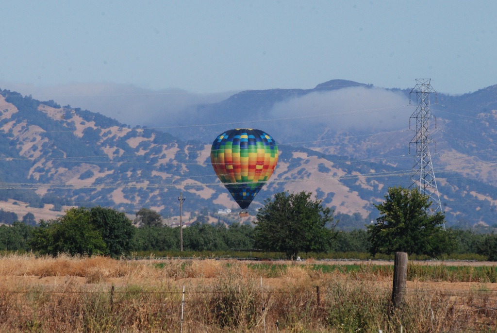
DSC_6085 Balloon has landed and now I can change the fence.DSC_6089 Happy sheep.

DSC_6093

Ice

The older I get the less I want to slip and fall. My body sabotages me enough without doing something that is more likely to break a bone. So on our hike yesterday I was very careful to avoid the icy parts on the trail. But not everyone else seemed to care so much.Sam on iceSam on ice.Ginny walking on ice Ginny on ice.Kirin on iceKirin on ice.Chris on ice Chris on ice.DSC_1387Meryl and Chris on ice.

Chris sliding DSC_1349 Chris on ice–this time on purpose.

Matt sliding Matt’s version of the louge…

DSC_1355 Matt on louge …followed by the skeleton…

Matt - skeleton DSC_1366 Matt - breaking form  Here he breaks form before breaking his head.