Our 8 day road trip was almost over. We spent Monday night and Tuesday morning in Mesa Verde National Park but needed to be home on Wednesday. We decided to drive through Four Corners and Monument Valley–it wasn’t much out of the way and Dan had never seen the area (and I had been there just once).
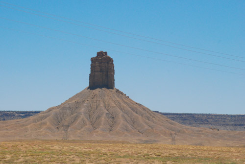
Most of the photos in this post were taken from the truck window at 70 mph. I found that I could sometimes roll the window down (yes, roll, there are no push buttons in this truck), sometimes remove the lens cap, and sometimes turn the camera on, but not always all three of those things.
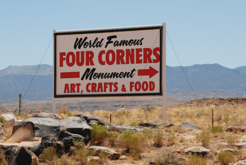
Four Corners is notable for being the only place in the United States where four states meet. It is also marks a boundary between the Navajo Nation and the Ute Mountain Ute Tribe Reservation. The Navajo Nation runs the Four Corners Monument as a tourist attraction.
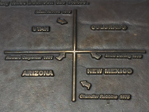
This is not the actual monument, but part of a sign about the surveying that began in the 1860’s. Wikipedia says, “the origins of the state boundaries marked by the monument occurred just prior to, and during, the American Civil War, when the United States Congress acted to form governments in the area to combat the spread of slavery to the region.”
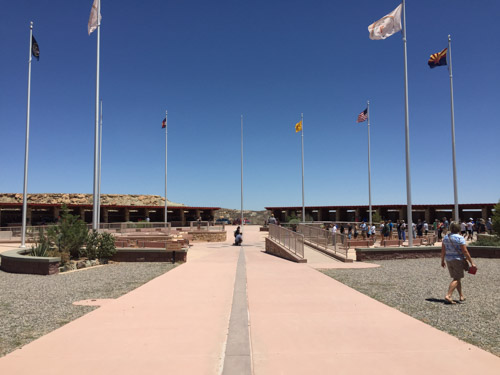
The marker itself is in the center of this courtyard. Notice the line of people to the right. They are all waiting to take their photos over the marker. We didn’t join them, but walked around the outside where there are stalls in which Navajo and Ute members sell souvenirs. Then we got back on the road.
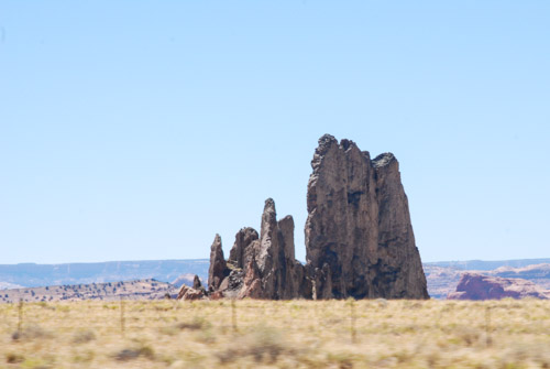
We took Highway 160 southwest to Kayenta where we turned north on Highway 163 to head back to Moab, but drive through part of Monument Valley. Wikipedia: “Monument Valley is a region of the Colorado Plateau characterized by a cluster of vast sandstone buttes, the largest reaching 1,000 ft above the valley floor…Director John Ford used the location for a number of his best-known films, and thus, in the words of critic Keith Phipps, ‘its five square miles have defined what decades of moviegoers think of when they imagine the American West.’ “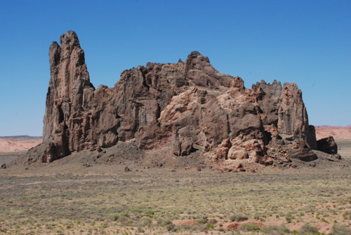
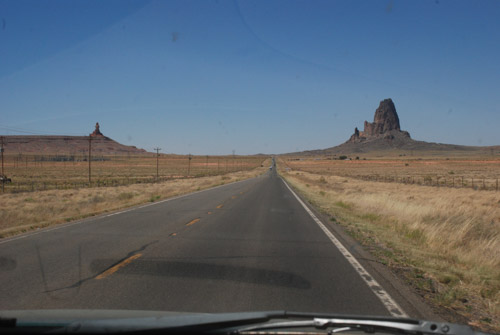
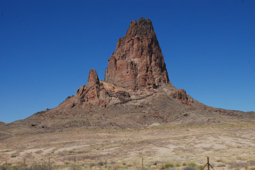
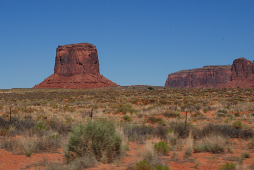
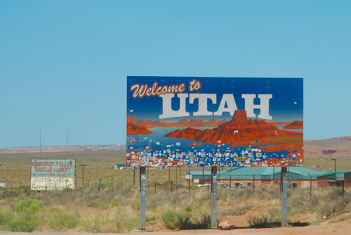
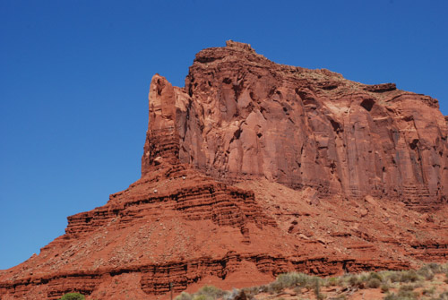
Spectacular country for it’s rock formations. A tough place to live on the land.
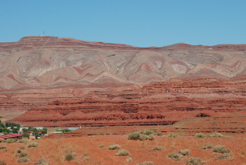
This rock formation kept us entertained for many miles as we drove closer and closer to it. I think it is just north of Bluff, Utah. I have googled a variety of words to describe this near both Bluff and Mexican Hat, Utah, but I don’t see any photos like this.
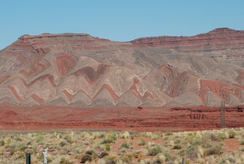
I do know the highway roughly followed the course of the San Juan River between those two towns. The rock formations that show up on-line are the Mexican Hat for which the small town is named and…
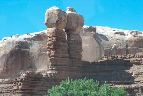
…Navajo Twin Rocks near the town of Bluff.
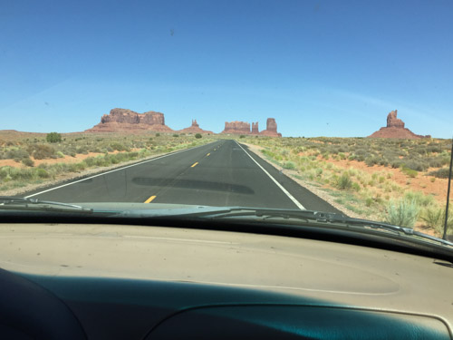
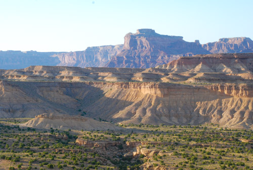
We continued to see red rock formations as we drove north toward Moab.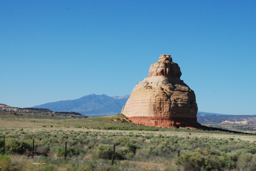
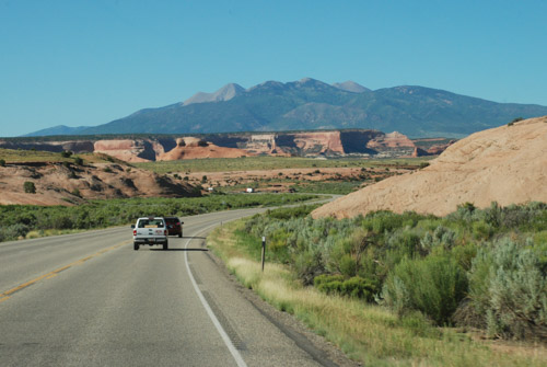
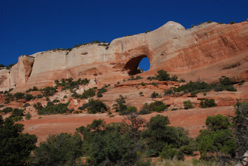
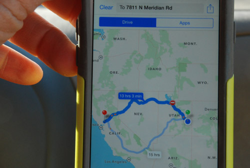
We hadn’t started the trip in Moab, but we’d been there just four or five days ago. I checked to see how long it would take to get home. I couldn’t get the phone to show me the route that we planned to take. We were headed to Highway 50 to cut straight across Nevada.
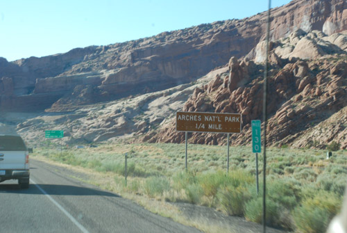
We passed Arches National Monument where we’d spent a day hiking…
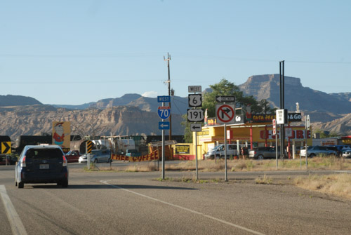
…and picked up Highway 50 at Crescent Junction.
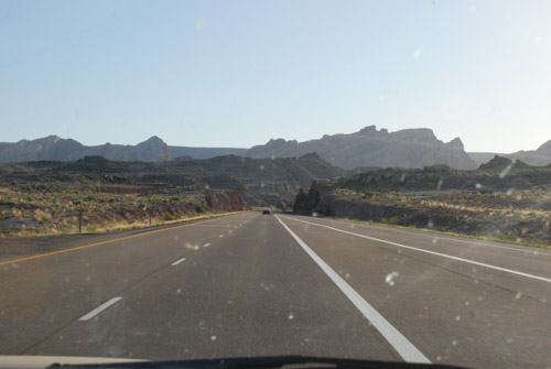
The plan was to drive west until we needed to stop.
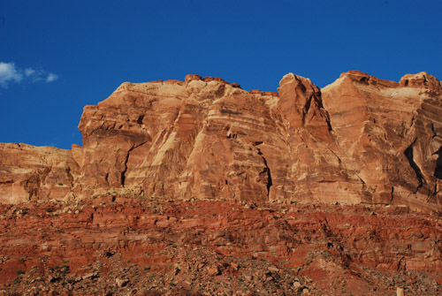
We’d seen some of this spectacular country but it looks different going the other direction.
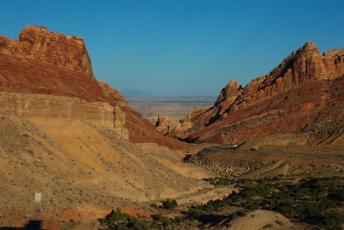
We drove until it was took dark to take photos and then we kept driving.
To be continued…
