It’s been almost a month since this trip, and I can’t move on in the blog until I finish this…and find more time. So this is a quick finale to the trip.
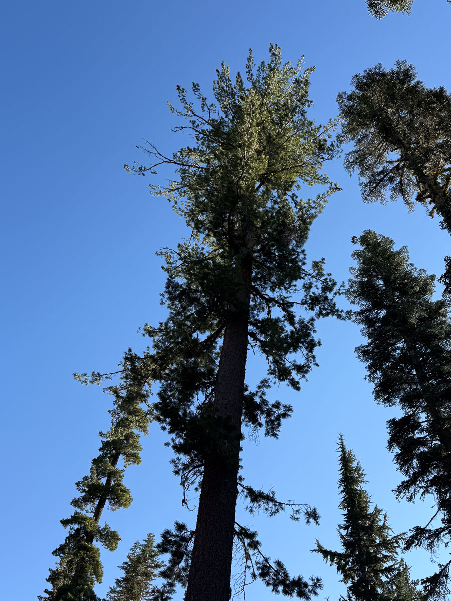
This tree was right next to our tent. The significance is that both mornings we woke up hearing large things falling on the tent.
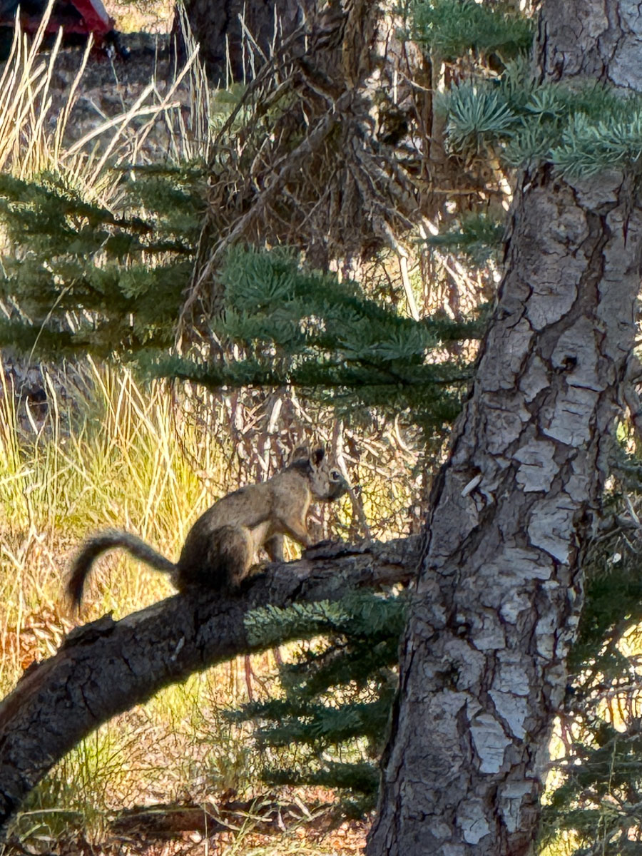
It turns out that this squirrel was trying to kill us. He (?) was at the end of branches dropping fresh hard pinecones on the tent. We know this because later, as we were eating breakfast we heard more pinecones drop and finally saw him.
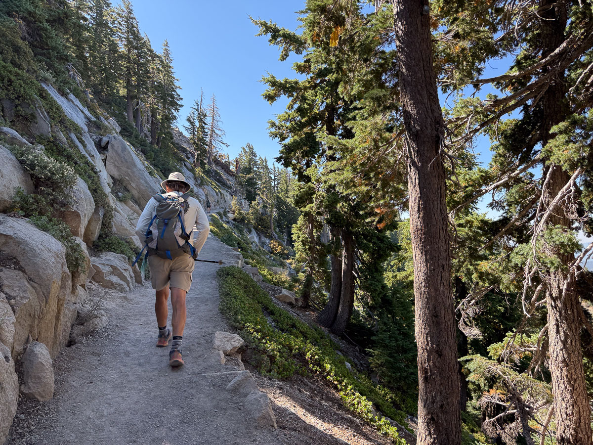
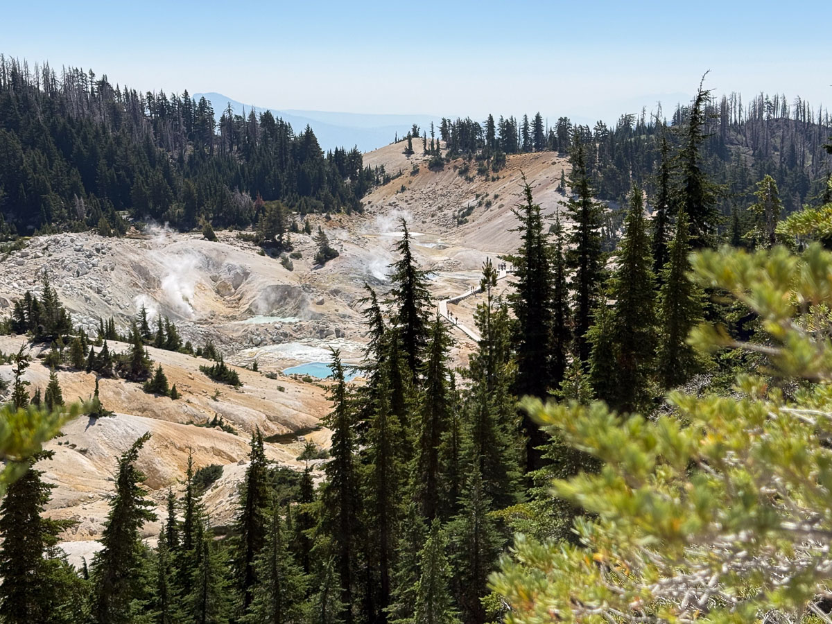
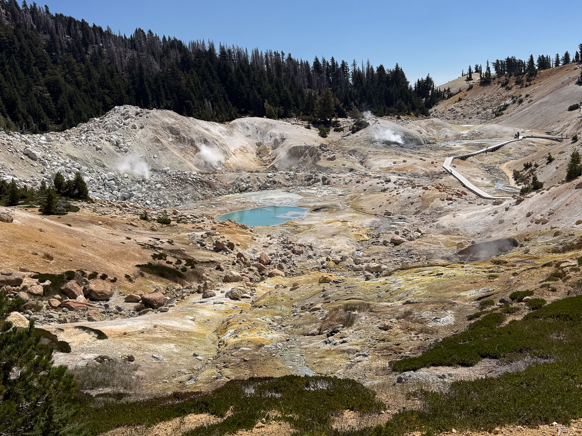
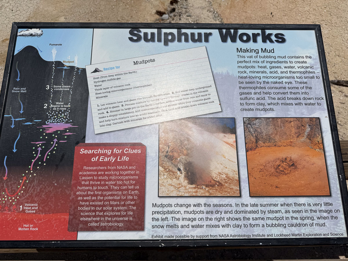
We chose the trail to Bumpass Hell for the morning’s hike.
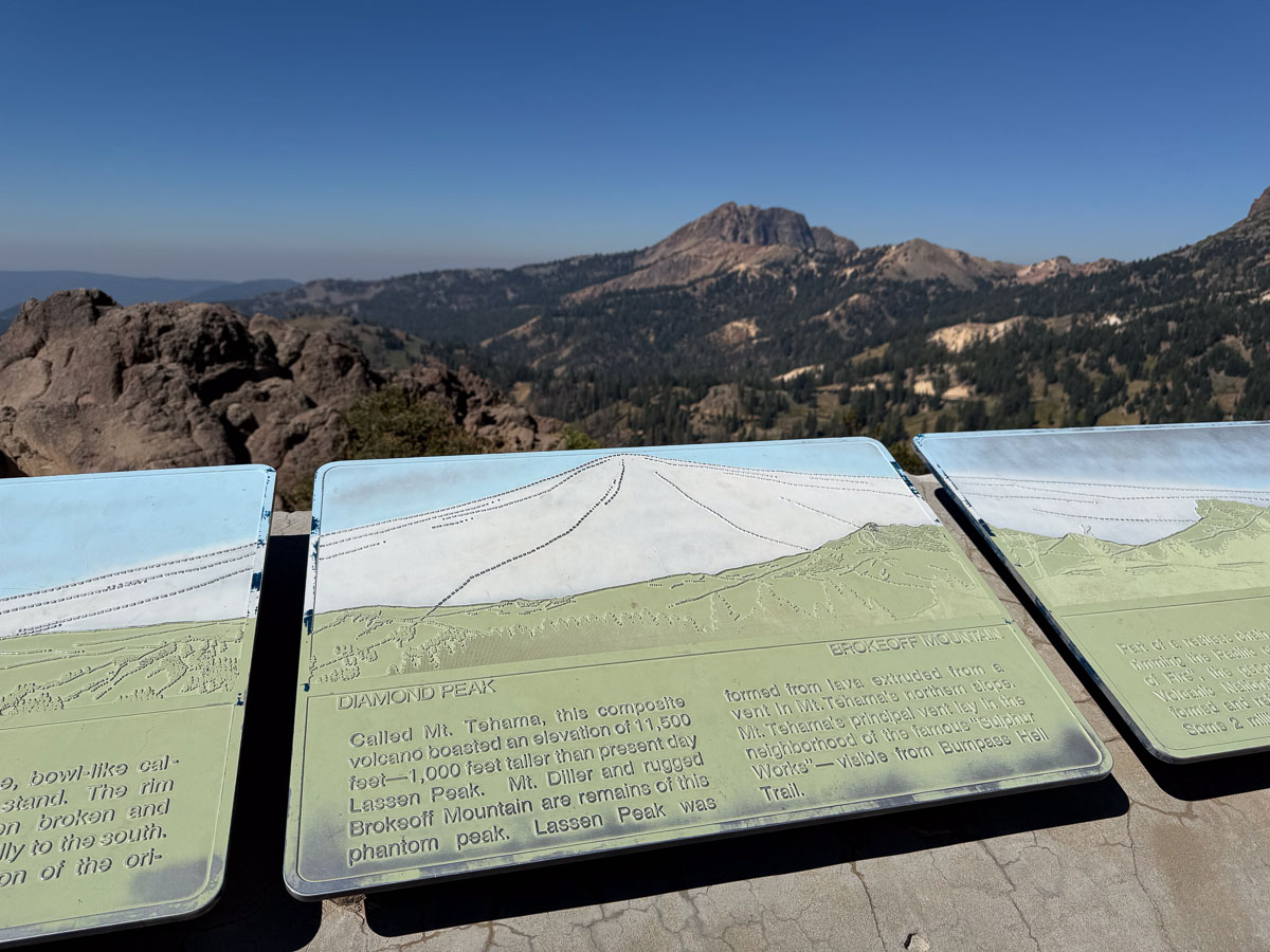
Along the way there was a sign that shows the present landscape (in green) in relation to the original volcano (white) that was active over 400,000 years ago. It was 11 miles across and 1000 feet higher than Mt. Lassen.
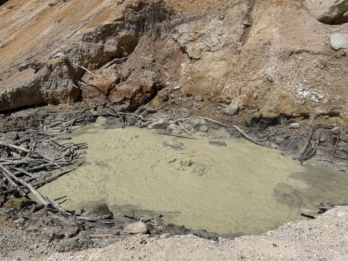
The geothermal features that exist now would have been under the dome of that ancient volcano.
Now we can wander through these fascinating formations safely on boardwalks…
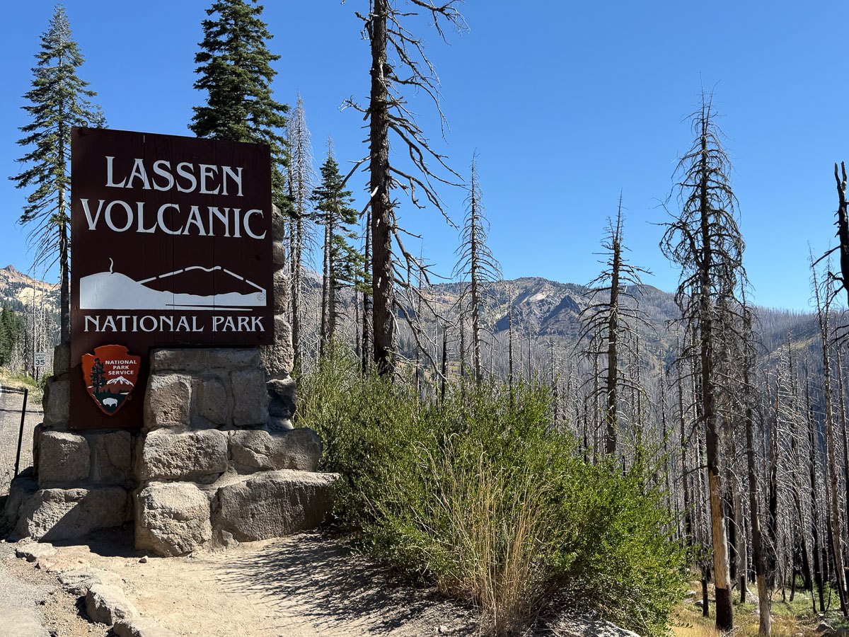
How would you spend your 40th wedding anniversary? We wanted to DO something. A few weeks prior we reserved a campsite at Lassen National Park for two nights. The main road through the park passes the trailhead for Lassen Peak.
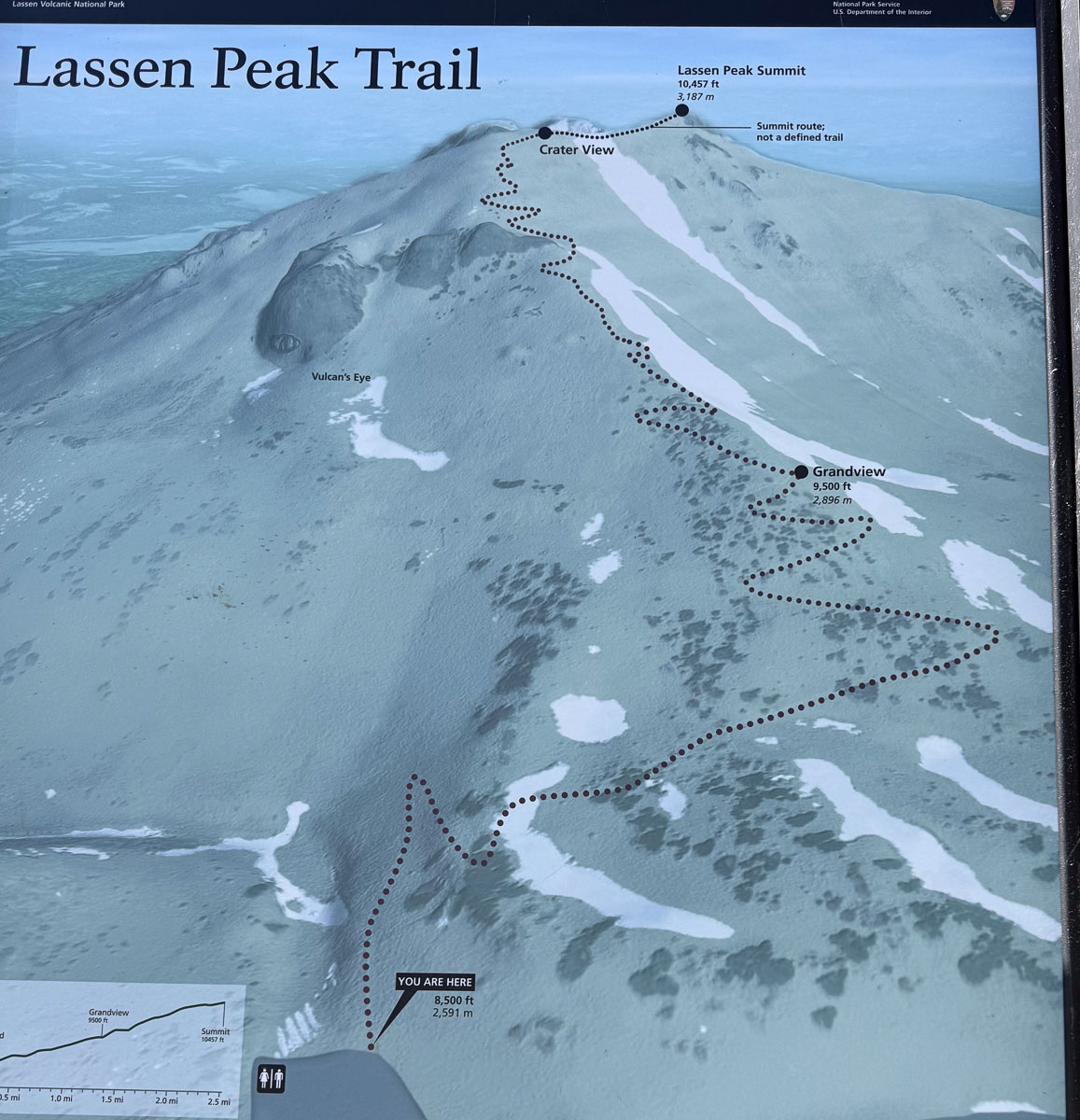
We got to the trail head just before 11 a.m. The route is only 2-1/2 miles to the top. It’s the elevation that makes it tough. Consider that we live at about 90′ elevation. The trail starts around 8500′ and finishes around 10,500′.
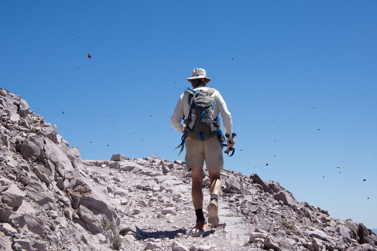
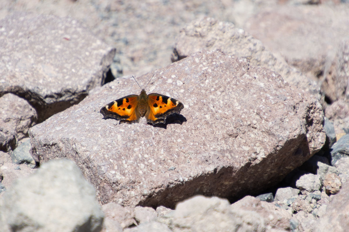
This photo is not the result of a dirty lens. Those are butterflies. I remember one of the few other times we were here and we experienced the same thing. These are California Tortoiseshell Butterflies. According to the NPS website, they are “common in foothill canyons in late winter where they emerge from hibernation to lay eggs on the young, tender growth of various species of wild lilac (Ceanothus)…Adults of the first brood emerge in late May or early June and begin moving to higher elevation in search of food…Summer breeding takes place in early migration…The adults of the second brood, laid during migration, emerge in July.” There is much more detail at the NPS website.
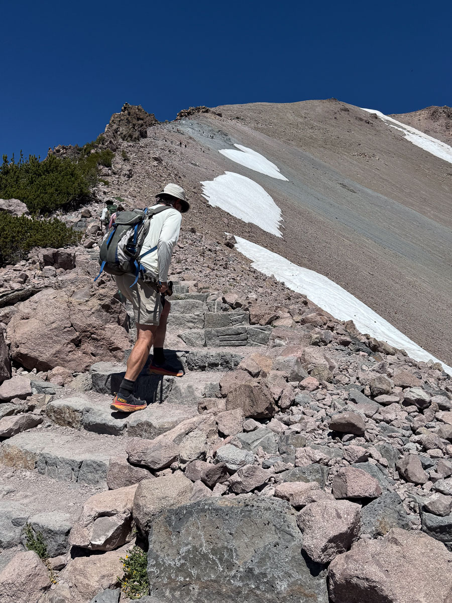
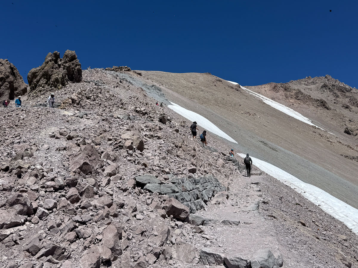
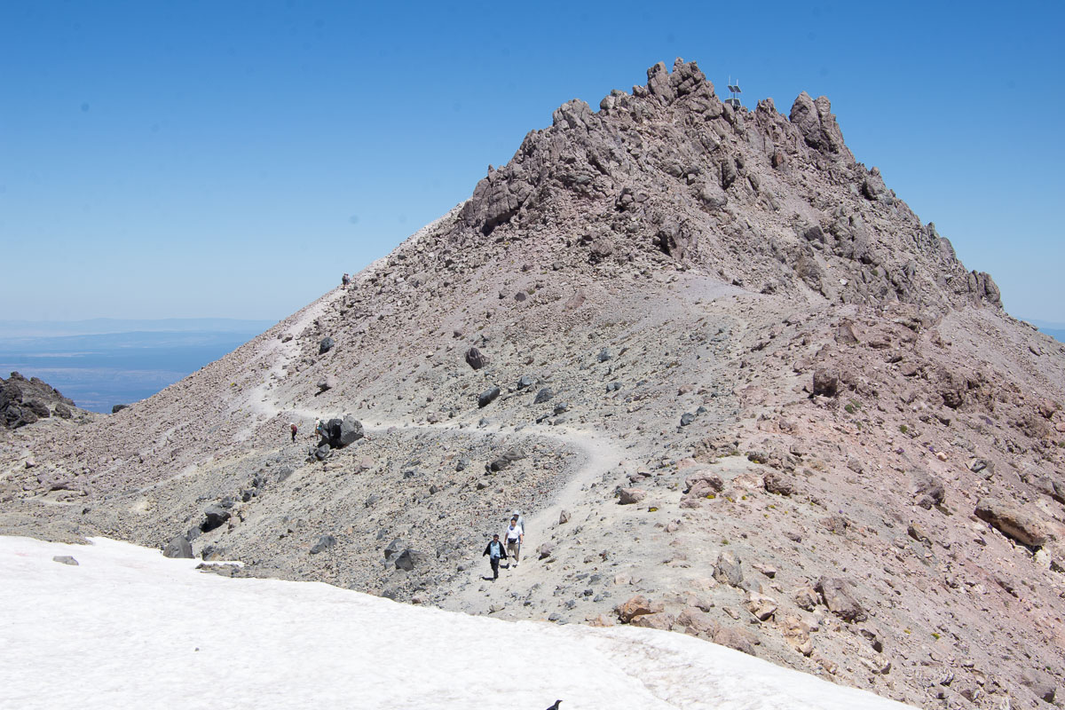
You won’t be able to tell, but there is a zigzag trail full of switchbacks above the snow in this photo, and then it goes across the higher slope below the ridge.
Another photo of the trail.
This two and a half mile hike to the summit took us almost two and a half hours. So our pace was about one mile per hour. As our family likes to say, “forward is a pace”.
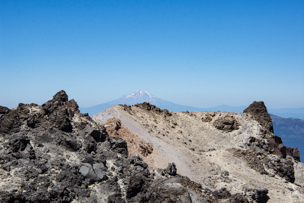
View of Mt. Shasta to the north.
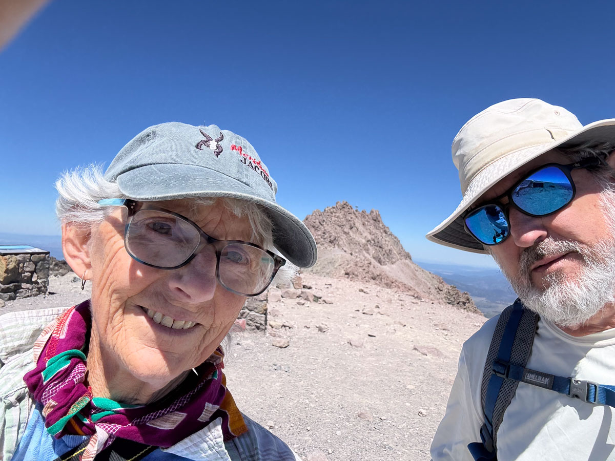
We sat at this level, ate lunch, and watched butterflies before deciding to hike the last little bit to the real peak of Mt. Lassen.
The trail from this point on is not a real trail. We went about half way up and decided that the lack of trail and the loose rocks where it got steep made it too sketchy (that’s the word that kept coming to mind) for us to continue. We had to be content with making it almost all the way up.
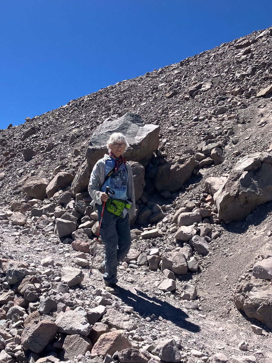
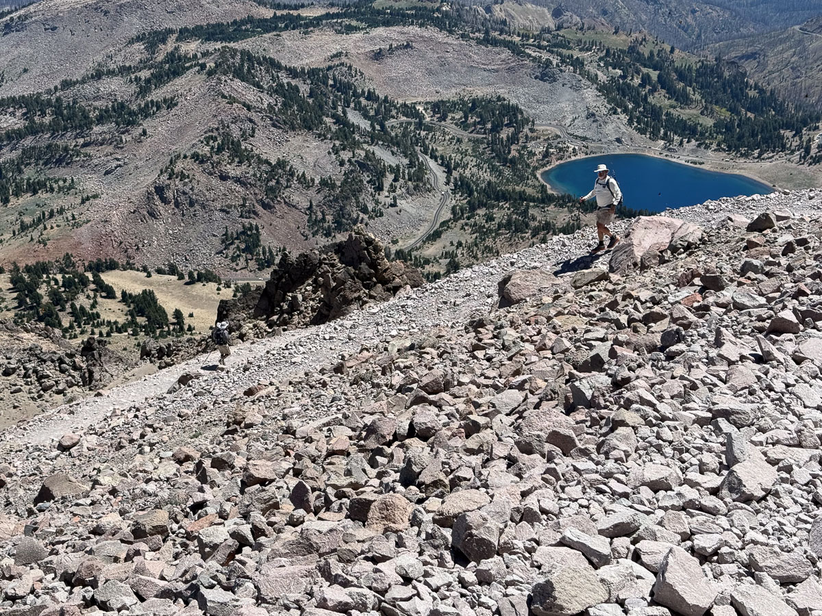
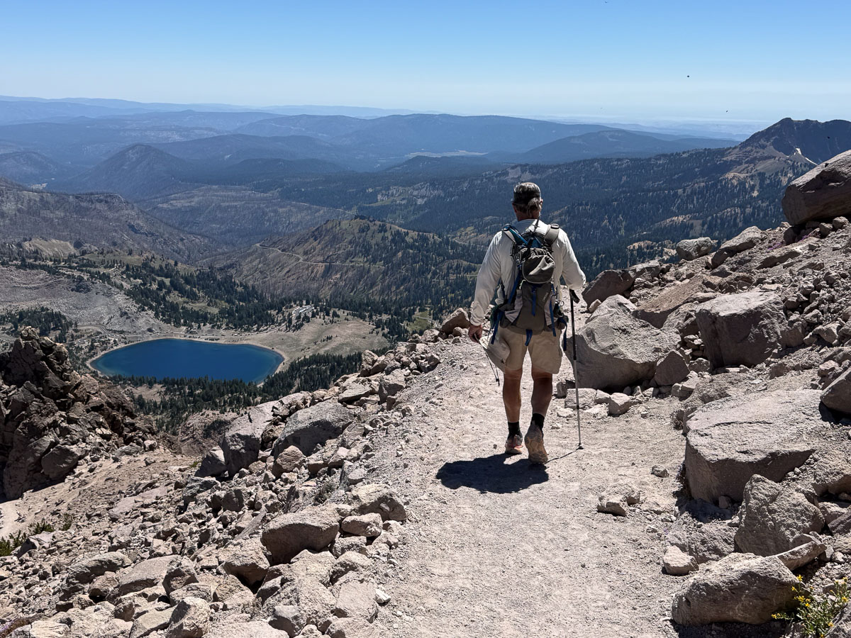
Hiking down, of course, was faster.
Looking down on the switchbacks.
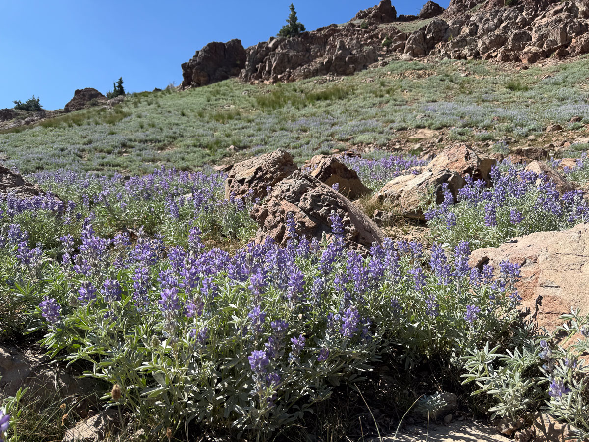
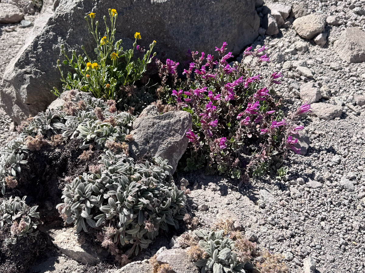
It’s amazing to see flowers growing in this stark rocky terrain, but they were there!
We got to the parking lot, near the level of that lake, about 4 p.m.
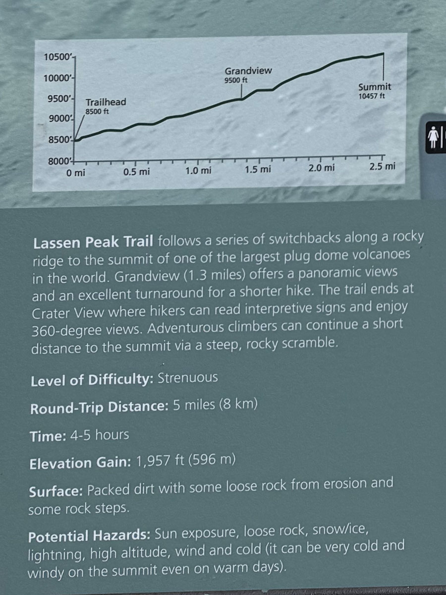
Here is a description of the trail. The part I called sketchy is referred to as “a steep, rocky scramble”. Maybe we would have done that five years ago.
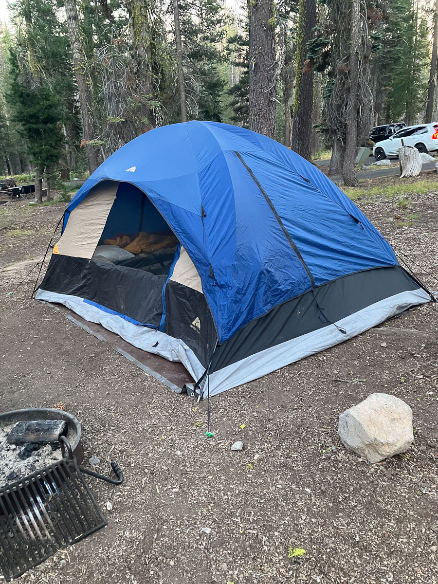
We found our reserved campsite and set up the tent that we had borrowed from a friend. Luxury because it was big enough that we could have cots!
I created a video of this hike. See it here on the Meridian Jacobs YouTube channel.