
I’m already on my next adventure, but need to catch up with the last one. After the quick trip to Idaho I decided against going to Black Sheep Gathering in Oregon the following weekend. I had not planned to take sheep this year and had not entered wool, fiber arts, etc. But half way through the week I changed my mind. Without entering any shows I didn’t have to be gone as many days, so I left Friday morning. I will admit that two hours into the drive I thought about turning around and coming home because I had so much to do at home before the next event (where I am now). However I had told a friend in Oregon that I’d visit along the way, so I kept going.

Here is where I stayed the three nights I was there. As I set up my tent I realized that I think I’ve had this tent and my sleeping bag since my college days or shortly after.

I took very few photos in the barn, but here is one–a Valais Blacknose. There was a new Jacob breeder there and I helped her show. Because she was the only person with Jacob sheep she had to show in the All Other Breeds class, as I did last year. Maybe I’ll enter again next year and we’ll have a Jacob show.
I took a few photos in the exhibit and vendor hall. These are the main award winners in the Fiber Arts Show.


I spent a lot of time with a few vendors and tried to make time to see the rest.

I met this vendor last year at this event. She lives in Sacramento and I encouraged her to sell at Lambtown last fall. Her booth was next to mine. Even though I specialize in locally grown wool, including my own, I was intrigued by her yarns, many of which are not natural fibers and are certainly not local. But they sure are fun! The larger skeins are all lengths of yarns that are tied together. I had bought a few of these crazy mixed fiber skeins and brought the scarf I had just finished to show how I had used the yarns. I plan to create a class using this idea.

I spent time with one other vendor, business name of Shuttle Creek. Annie is a weaver and was working on a loom in her booth, She sells her mostly cotton garments at local shows I think. I just looked at the website and there are some gorgeous items there but blog and Facebook activity seem to stop in 2021 and I was thinking that she said she doesn’t do much online. Anyway, after talking to her a long time she pulled this piece off a hangar and put on me. I bought it and that’s what wore all day at the weaving event where I’m teaching (next post). I need a button that “no, I didn’t weave it”.
I spent part of the day at the vendor hall, helped the other Jacob breeder show sheep, visited with friends (most of whom are from California), and watched Spinners’ Lead. I packed up fairly early on Sunday and started home.
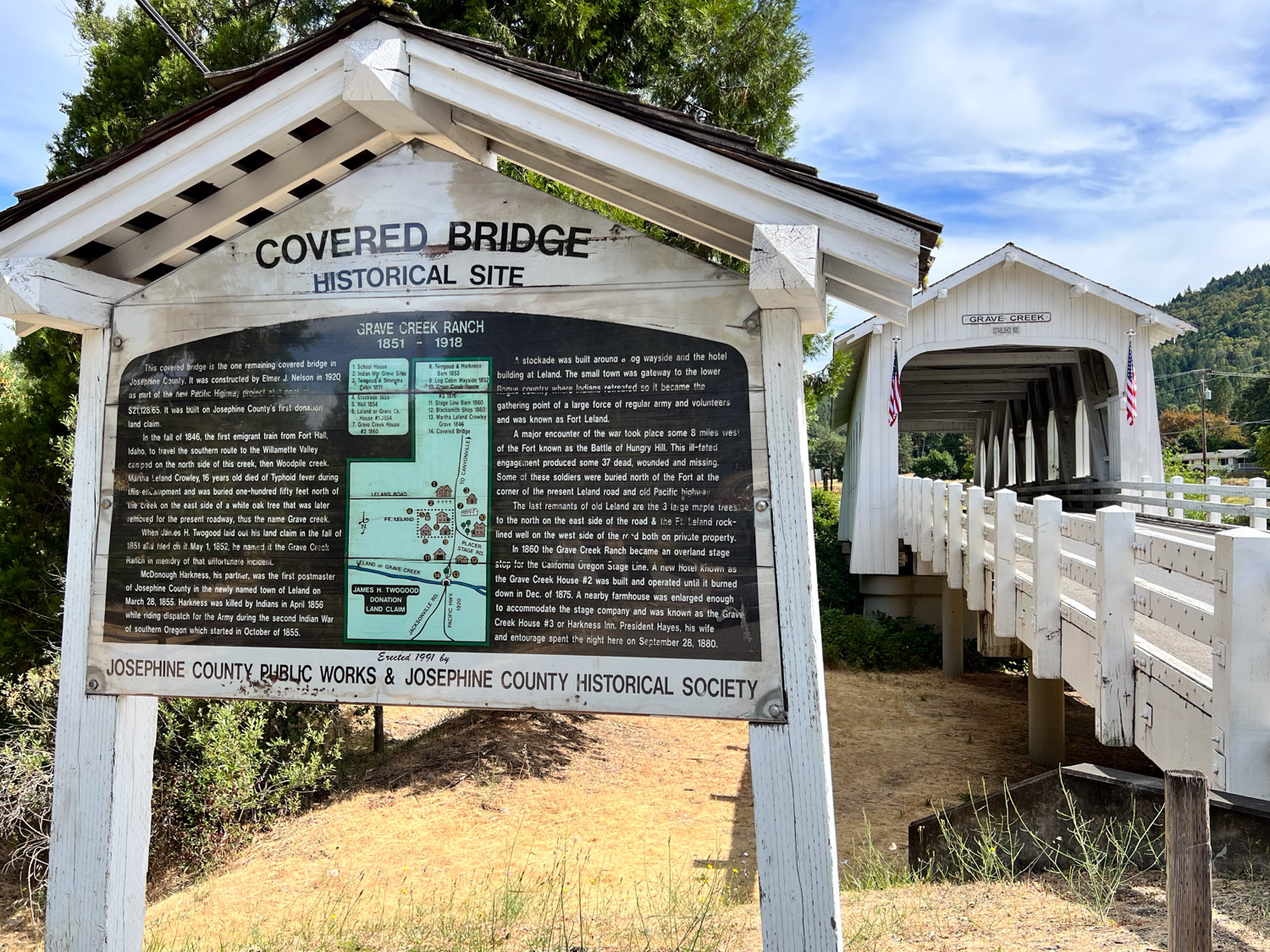
I’ve seen the sign for the covered bridge every time I’ve driven to Oregon but I’ve never stopped. It’s not far from the highway and an interesting site. There is a museum nearby but it wasn’t open on Sunday morning. The bridge was built in 1920 and the sign talks about the history of the area when white settlers came there in the 1840’s and 50’s.
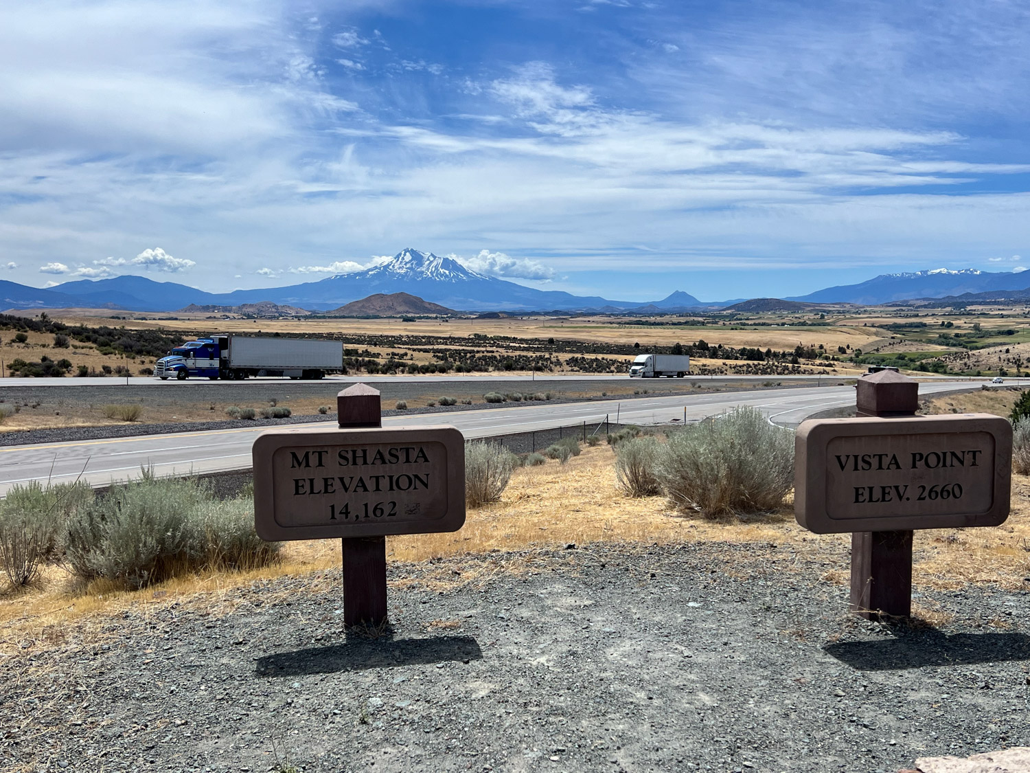
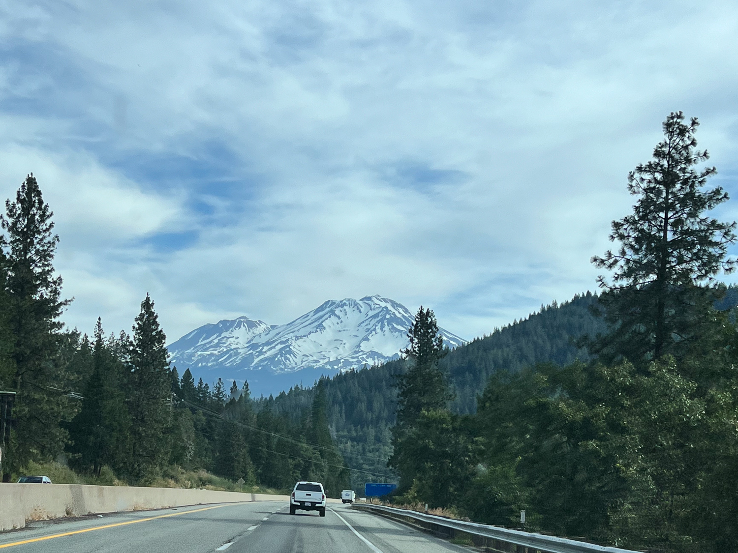
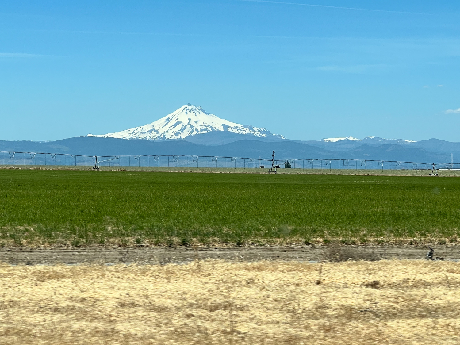
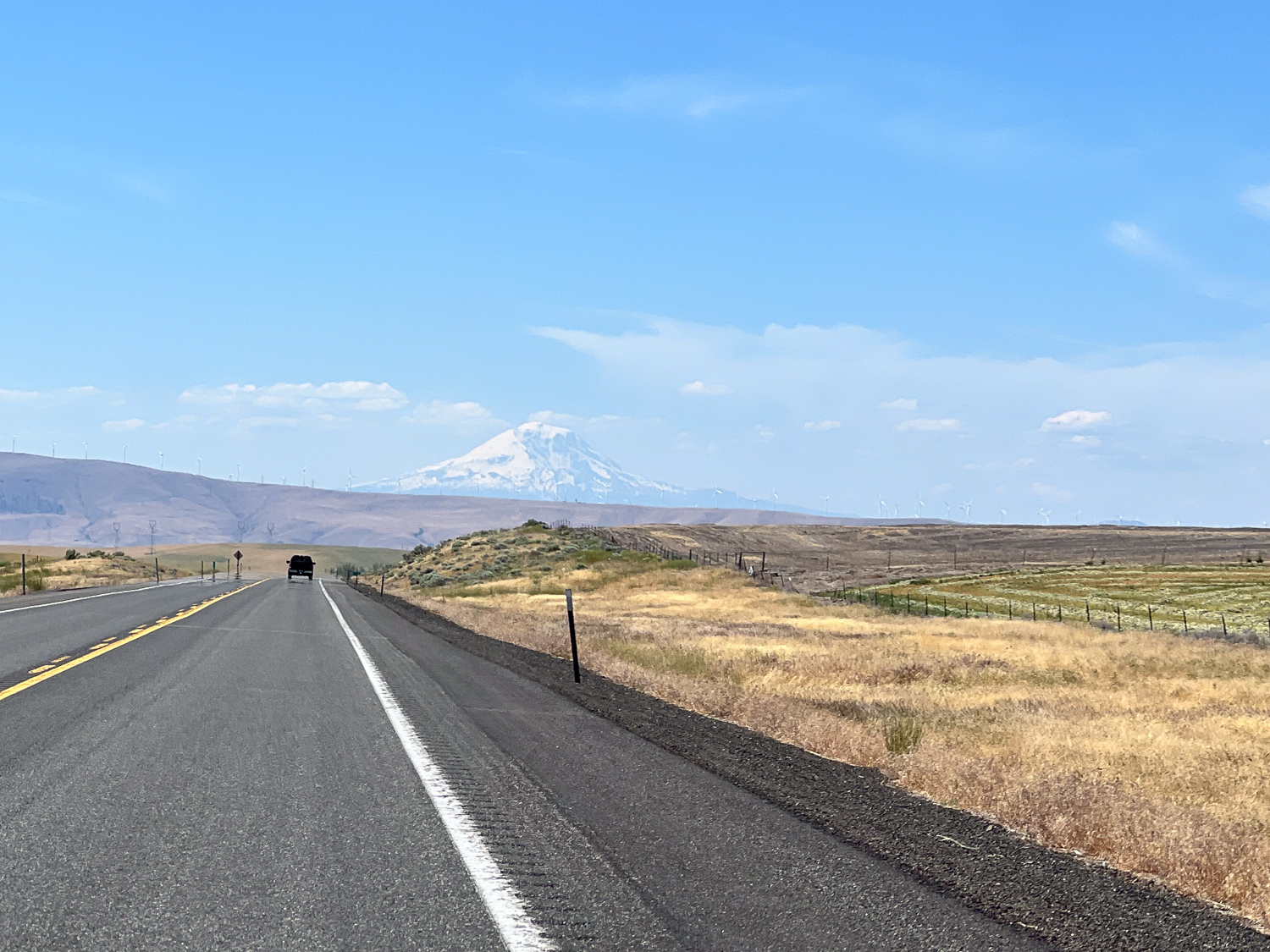
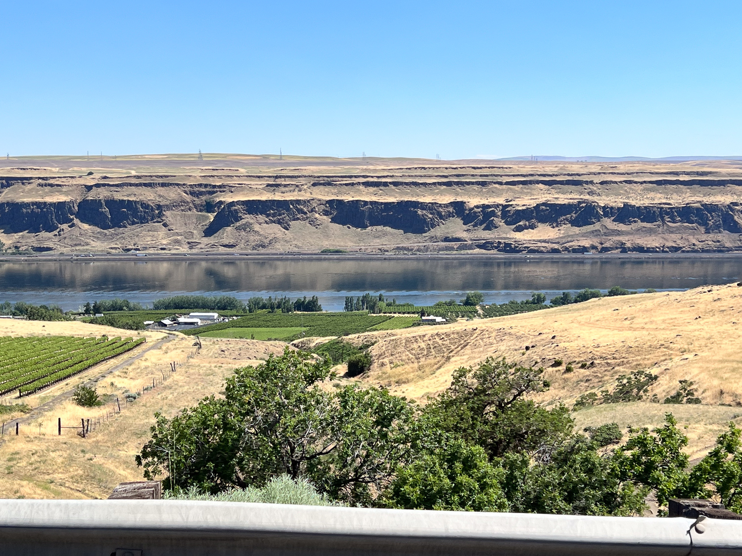
I always at this site in California.

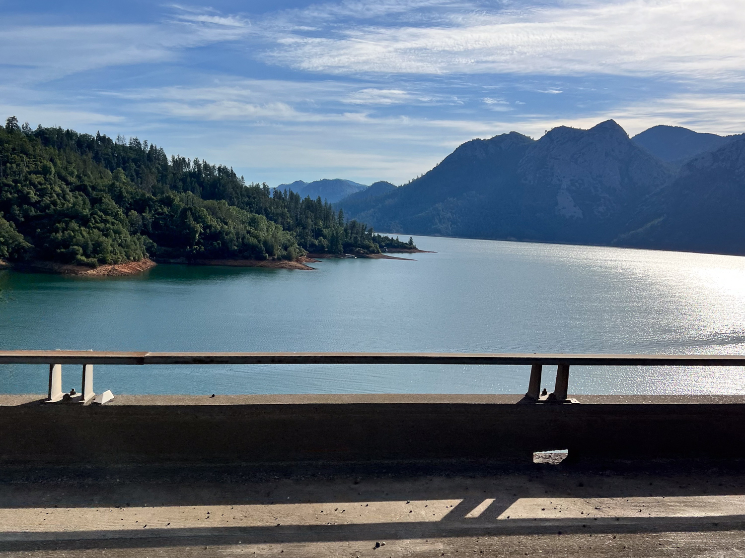
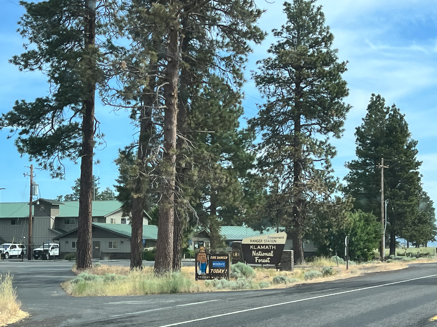
This means I’m almost home. (Sort of.)


 This is etched into the barn floor after one of our concrete pours. Papa-San was my father-in-law. Dave is my brother.
  And speaking of writing on the floor, this was taken Across the Road, not as permanent as the concrete etching except in my photos.
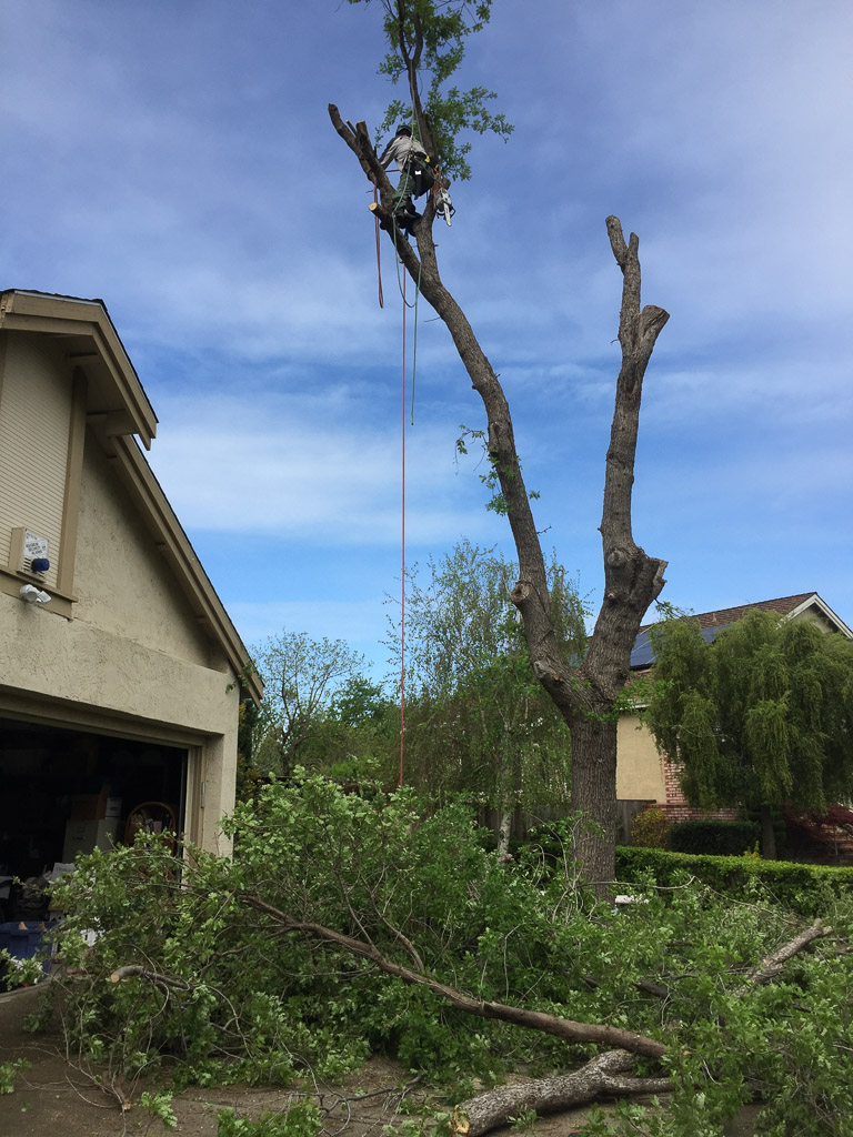 My oldest son side job is climbing trees to remove branches or, as in this case, to remove a tree that should no longer be where it is.
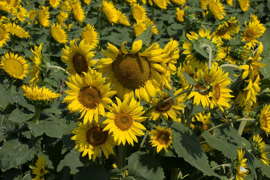 Sunflowers.
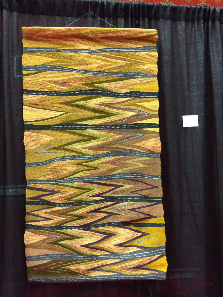 Wedge weave rug at Convergence in Reno last summer.
 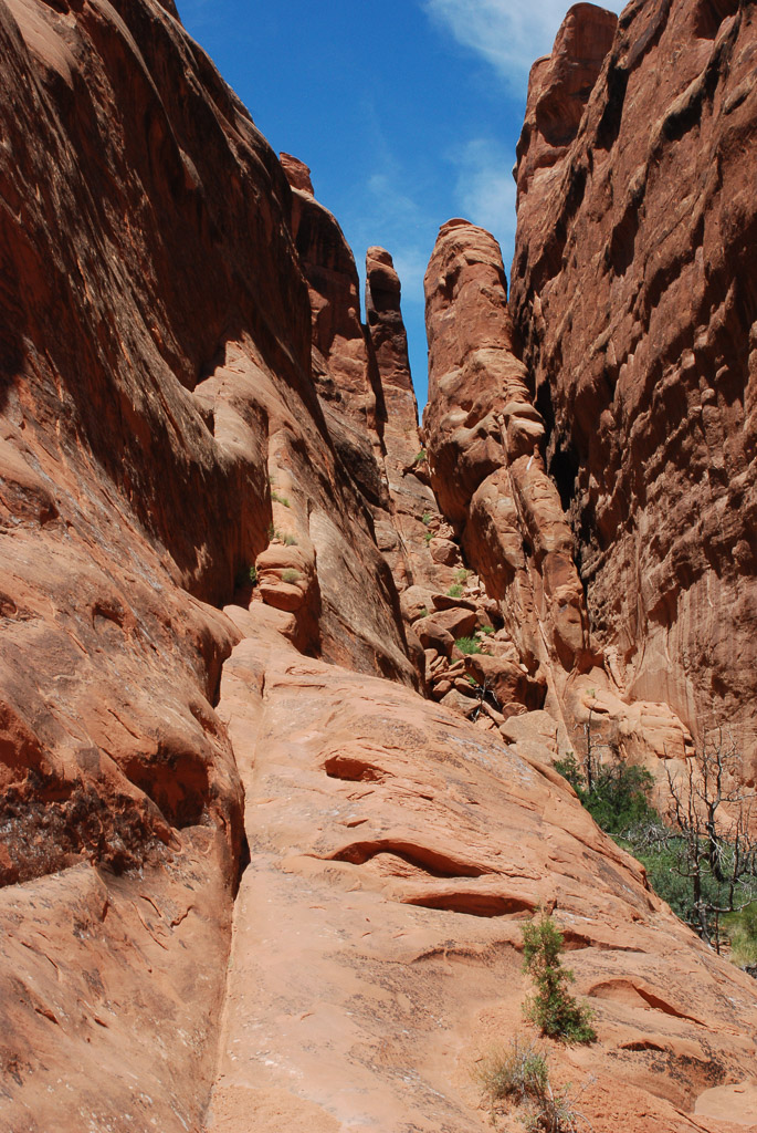 Hiking in Arches National Park.
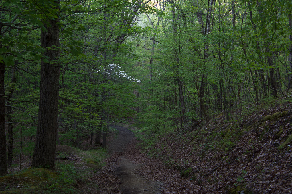 Hiking on the PawPaw Trail in Maryland last spring.
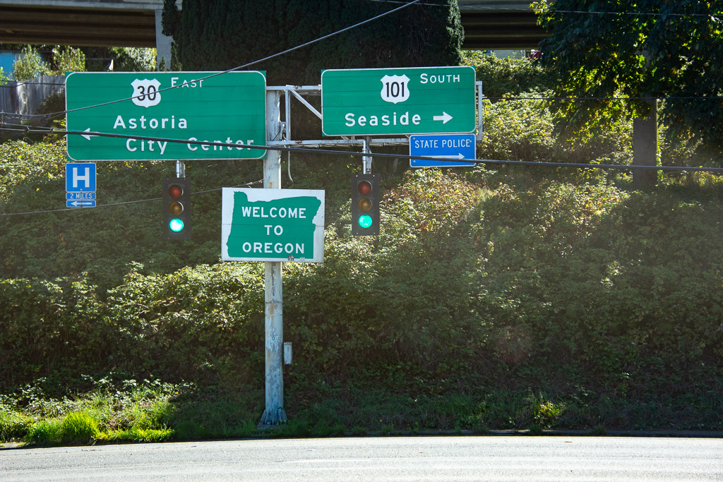 Taken from our road trip in September on our way back from Washington.
 The photo I was searching for when I mistakenly typed 856? This is ewe lamb 8056, Meridian Quartz, a 6-horn ewe lamb. People talk about Jacob sheep having six horns but I’ve never seen one that has room for six really distinct big horns.
 There is a small lake just behind the campsite and in the morning I heard this osprey. I watched quite awhile trying to get a better photo. Eventually he (she) spotted fish and I watched him dive three times, always coming back to watch from this tree. I was surprised at his loud splashdown.
 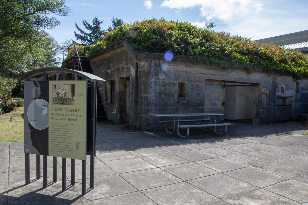 We drove over to the Interpretive Center of the Park. Outside the Lewis & Clark Center is the old Fort Canby, built to defend the entrance to the Columbia River and manned by U.S. Army troops from the mid-19th century through the end of WWII.
  We spent a couple of hours here and I highly recommend it. Dan had recently read a book about Lewis & Clark so the details of their story was fresh in his mind. I didn’t take photos inside except for this that reminds me of something that looks like it might belong in a weaving studio:
 This is a faking box and the thing behind it is a Lyle gun. The sign says “Propelled by a black powder charge the gun propelled a rescue line (hawser) to troubled vessels…The spiked posts were used to wind a rescue line in a special zig zag pattern to prevent tangling in flight when fired from a Lyle gun.” There were also paddles. “These paddles with detailed instructions in English and French were sent by rescue line to shipwreck victims.”I think it’s interesting that there was a special way of winding the line so that it would not tangle.
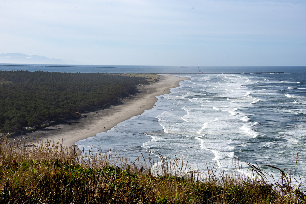 After spending a couple of hours at the Interpretive Center we went to see the second lighthouse in the Park. This view is from the trail to that lighthouse. We are now looking south to the breakwater on the north and can see the one on the south as well. The Columbia River entrance is between the breakwaters.
  This is North Head Lighthouse, built 42 years after the Cape Disappointment Lighthouse was constructed because there were still too many shipwrecks in this area. It is still in service with an automated beacon. I didn’t realize that each lighthouse has a unique pattern of sound and light to aid in navigation, as well as being distinguished by the color and pattern of paint. (This one is under renovation.)
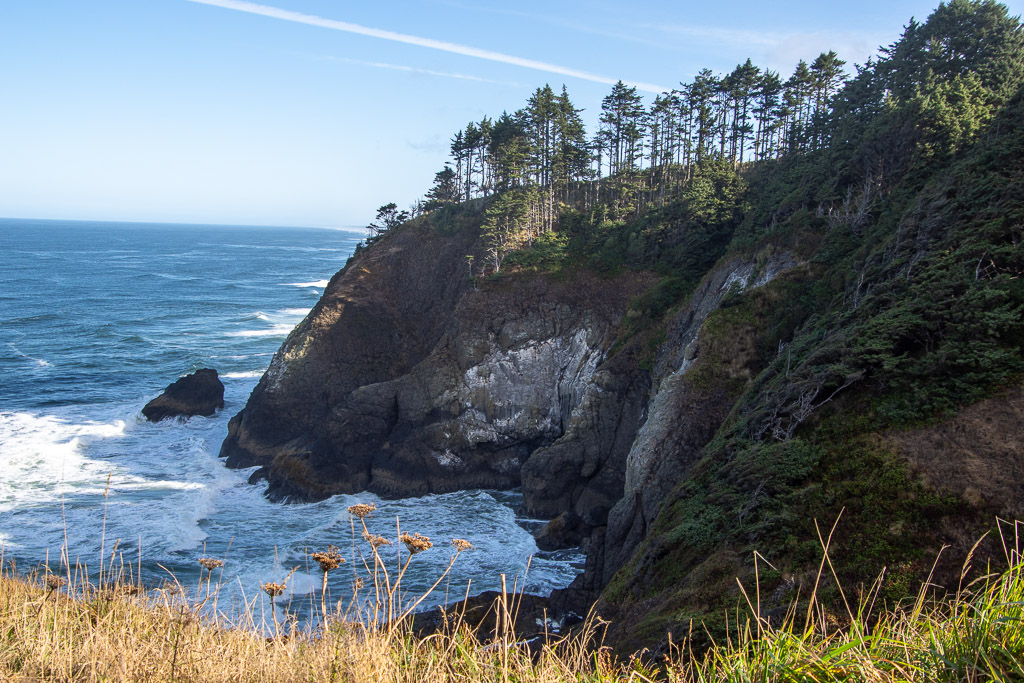 North Head is said to be one of the windiest locations in the U.S. This is the view of the rocky coastline from the north side of the lighthouse.
 If you look closely at the rocky cliff you see cormorants–somehow gripping the steep rocky wall with amazingly little room to maneuver.
 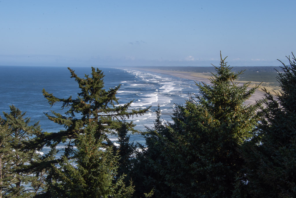 The beach stretches for miles just beyond this rocky point.
 Sign in the forest on the trail that overlooks the beach. The area gets seven feet of rain per year, falling in the fall, winter, and spring. However, during the summer there is fog. Cape Disappointment is one of the foggiest places in the U.S. having 100 days of fog each year.
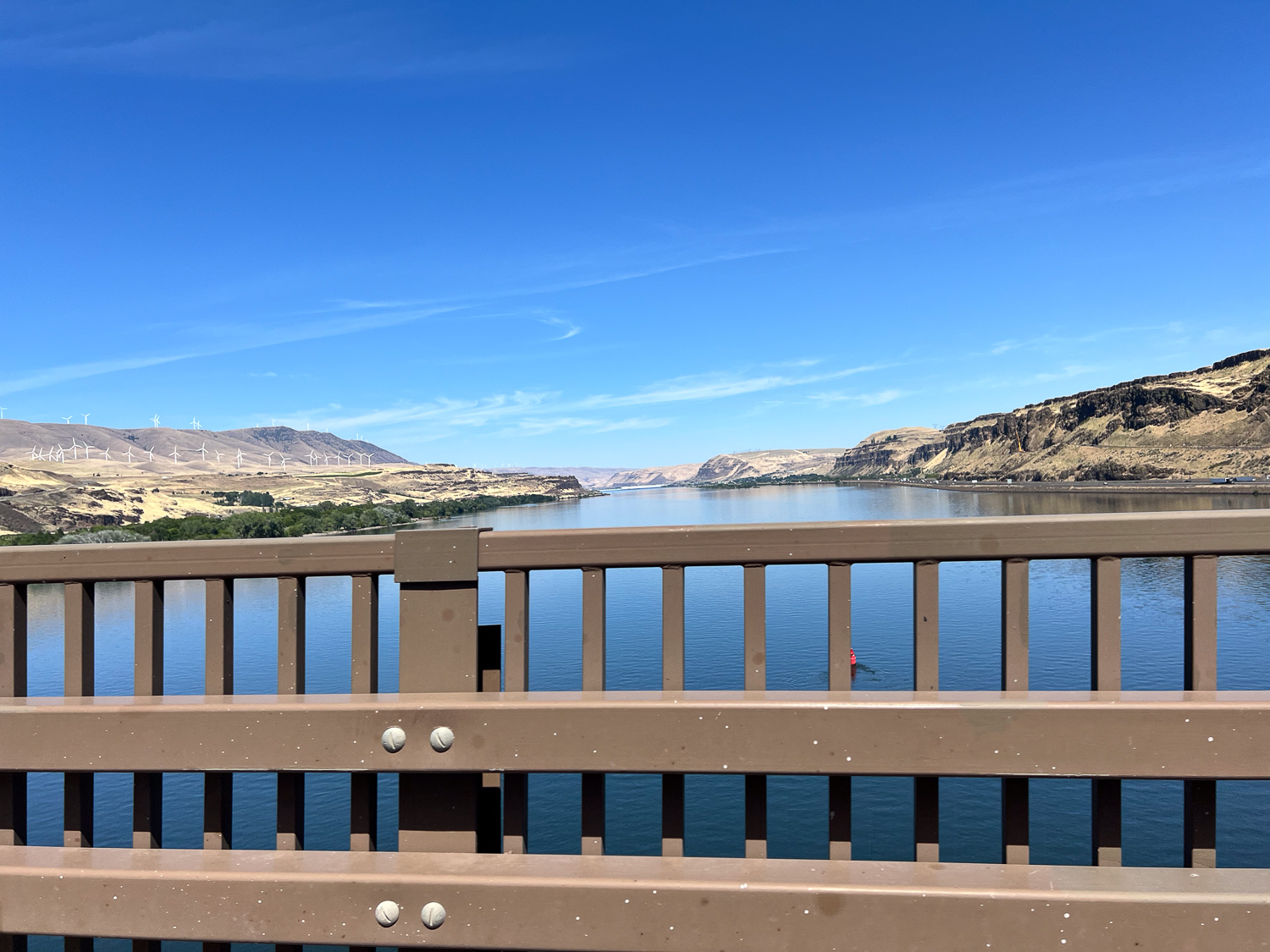
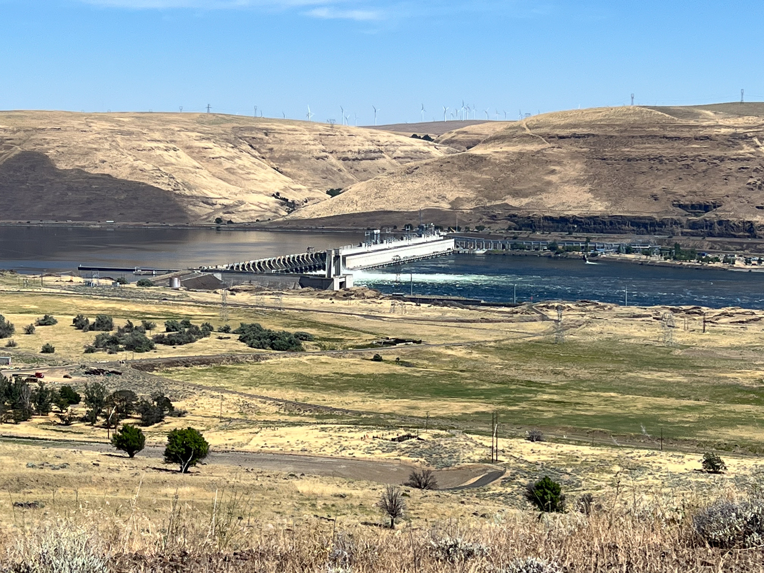
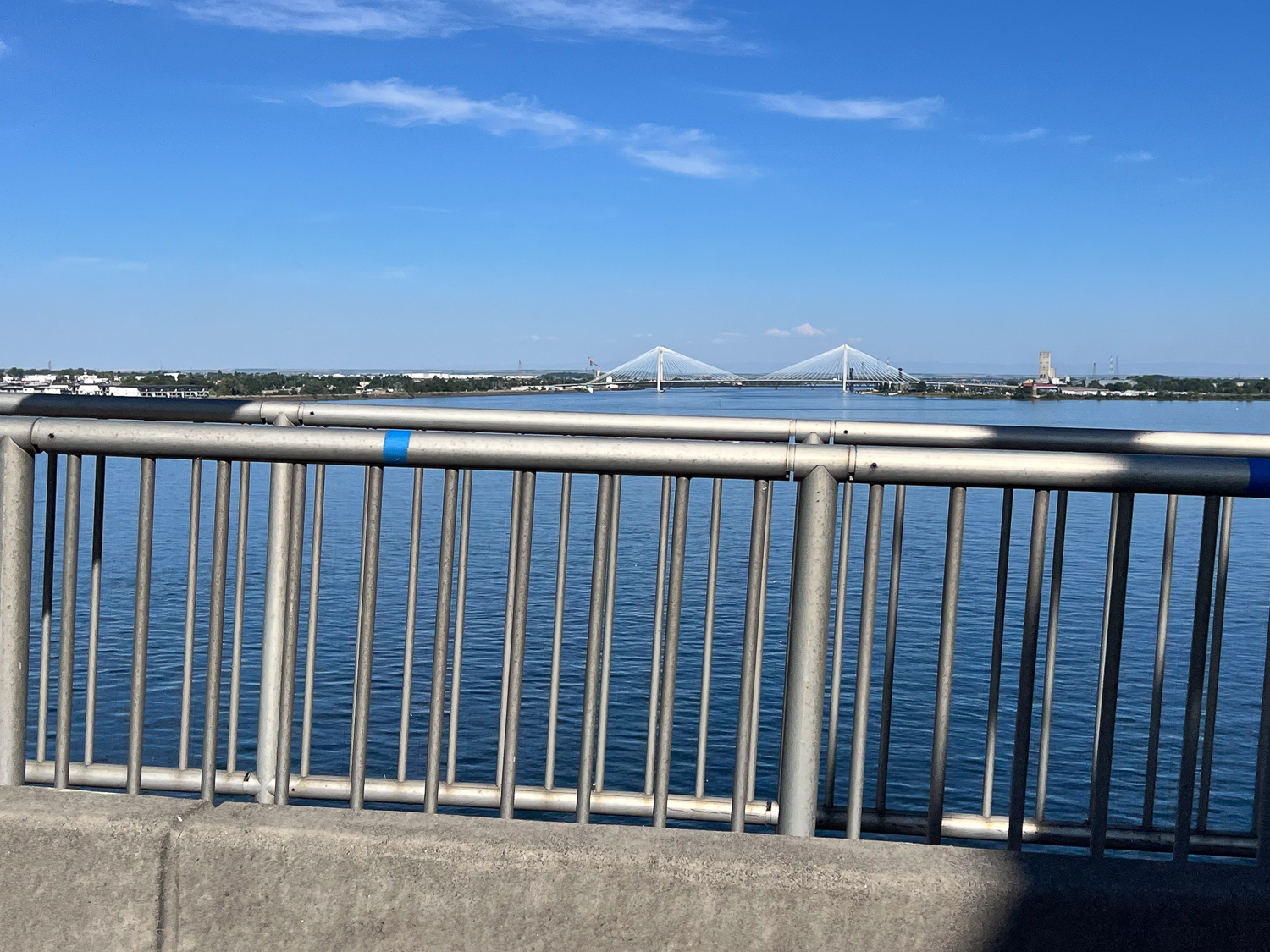
 The plan for the day was to get to southern Oregon so that we wouldn’t have as long a drive the following day. It was time to get on the road. This is the bridge over the Columbia River.
 Now to find the another part of the Lewis and Clark story near Astoria.
  We walked around the Fort and along a trail the followed the river, but we didn’t spent a lot of time here, having had such a thorough look at the L&C story that morning.
  We read about another historic site in the town of Seaside. Before we found the site we walked to the beach.
 Looking north.
 Eventually we found the Lewis & Clark NHP Saltworks, a small fenced area right in the middle of a neighborhood. The expedition had run out of salt and needed more before making the journey home. Three men from the expedition spent six weeks here boiling seawater to secure the salt.
 This is an amazing place. It must be just swarming with people during the summer.
 You enter the factory and go upstairs to follow the hoofprints for a self-guided tour.


 After the tour we got back in the truck and drove. We found a beachside (and highway-side) campground just after dark.
 View from the sleeping bag.
 This is where we stayed. We didn’t have a good look at it the night before when it was raining and dark.
 More of my slow-moving wildlife subjects.
 We started with the Rain Forest Nature Trail that leads to Willaby Creek Falls, one of the points on the Waterfall Trail we were following.
  Everywhere you look there are trees rooted over fallen trees. Every surface seems covered with something growing.
 The park protects the largest old-growth forest in the Pacific Northwest. Rainfall varies from 12 feet (!) in the temperate rain forests on the west side to 40″ on the east side.
  More of the Devils Club with a good view of he spines on the leaves.
 Did I mention that this was a walk through the rain forest? And rain it did. We stood for awhile under the umbrella because is was raining so hard. On our way back this path was filled with water.
 The forest was just beautiful.
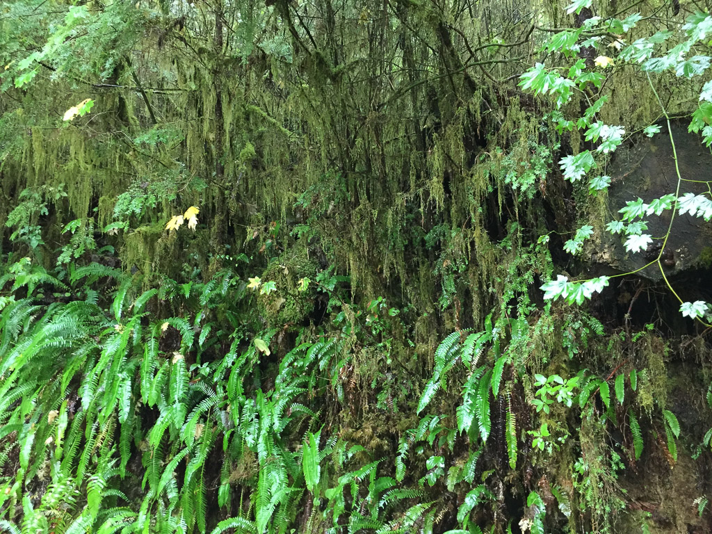
 Lots of fungus in addition to the ferns, shrubs, and trees.


 Some of these photos were taken on the trails to Falls Creek and Gatton Creek waterfalls on creeks that flow into the lake. The next stop was at the World’s Largest Spruce Tree.
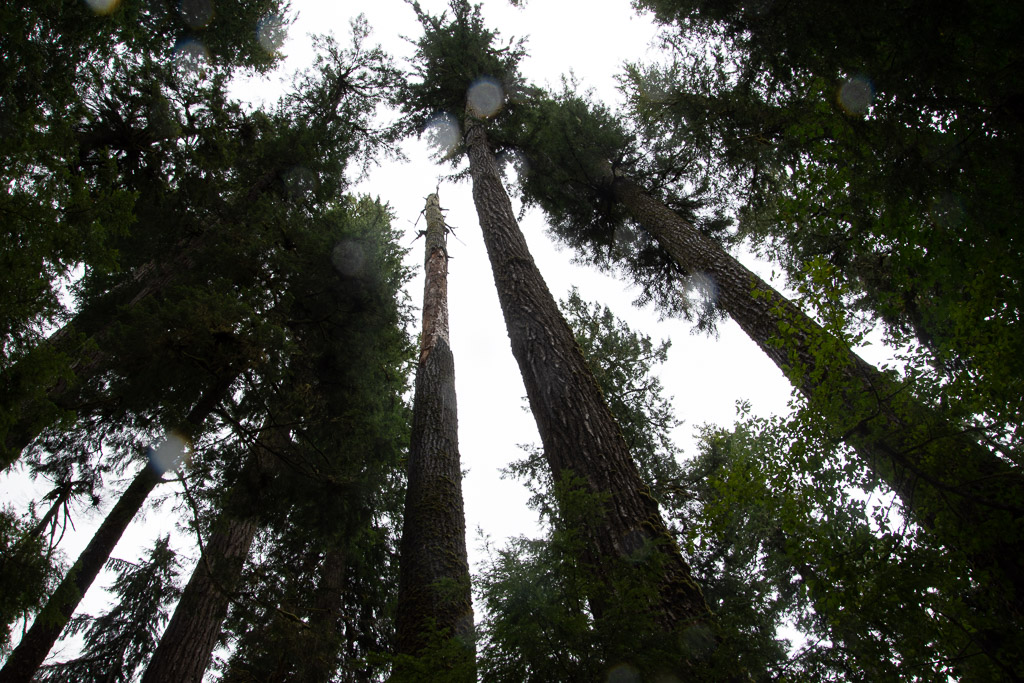
 This Stika spruce is 58′, 11″ in circumference and 1000 years old.
 It is 191′ tall and is one of six record breaking trees in the Park.
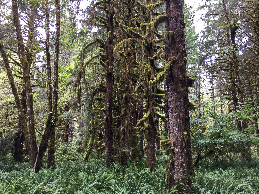 Sulightn was coming through the clouds as we drove down the road on the north side of the Quinault River.
 It gave a special glow to the moss covered trees in the flatland along the river.
 A wildlife shot of something other than a banana slug! Can you see the second fawn? I didn’t even see it until I was looking through my photos.
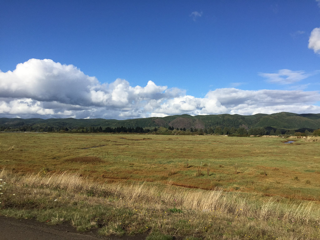 We left the rain forest and the Park and headed for the southwest corner of Washington and Cape Disappointment State Park where we hoped to spend the night.
  There were campsites available so we reserved one and then walked took one of the Park trails that follows the coastline to one of two lighthouses in the Park. This is the breakwater constructed on the north of where the Columbia River flows into the Pacific.
 Looking south from the Lewis & Clark Interpretive Center you can see the Cape Disappointment Lighthouse and the Oregon coast in the distance, across the mouth of the Columbia River.
  The Cape Disappointment Lighthouse was built in the 1850’s. There is a Coast Guard Station nearby. According to Wikipedia: “The lighthouse had several shortcomings. The fog bell was sometimes inaudible due to the roar of ocean waves. It was discontinued in 1881 and moved … Also, the light was not visible to ships approaching from the north. This problem was corrected by building a lighthouse at North Head, two miles from Cape Disappointment. The first-order lens was moved to North Head … The lighthouse was electrified in 1937. In 1956, the Coast Guard intended to close the station, but retained the light when the Columbia River bar pilots protested. The light was automated in 1973. An observation deck has been built for the Coast Guard to monitor traffic and bar conditions.”
 This is the view looking back north to the Interpretive Center (which we visited the next day). Also visible is the small cove called Waikiki Beach. The campsites were beyond that. We got back to camp about dark, our usual M.O., and ate an unexciting dinner, and went to bed.
 Here is the view from my sleeping bag the next morning.
 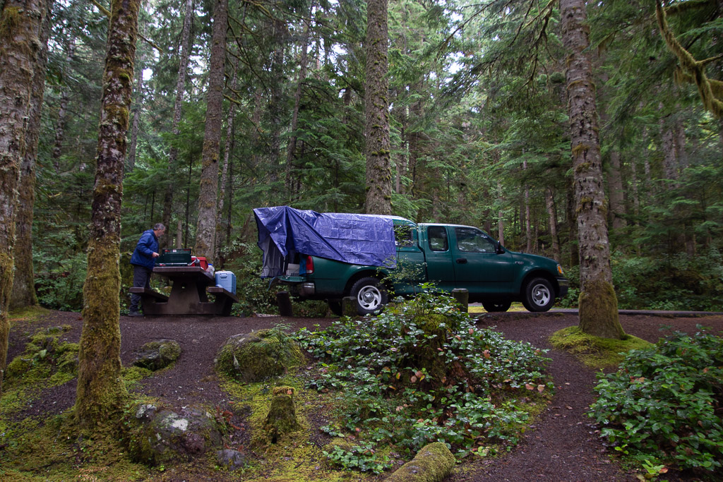 Later we wondered why we didn’t buy a bigger tarp since then we could have covered the whole camper, although I wouldn’t have liked not seeing out the side window. As it is there is some leakage around where the camper joins the truck bed and we had to make sure that our sleeping bags, clothes, etc didn’t touch the edges or they’d soak up water.
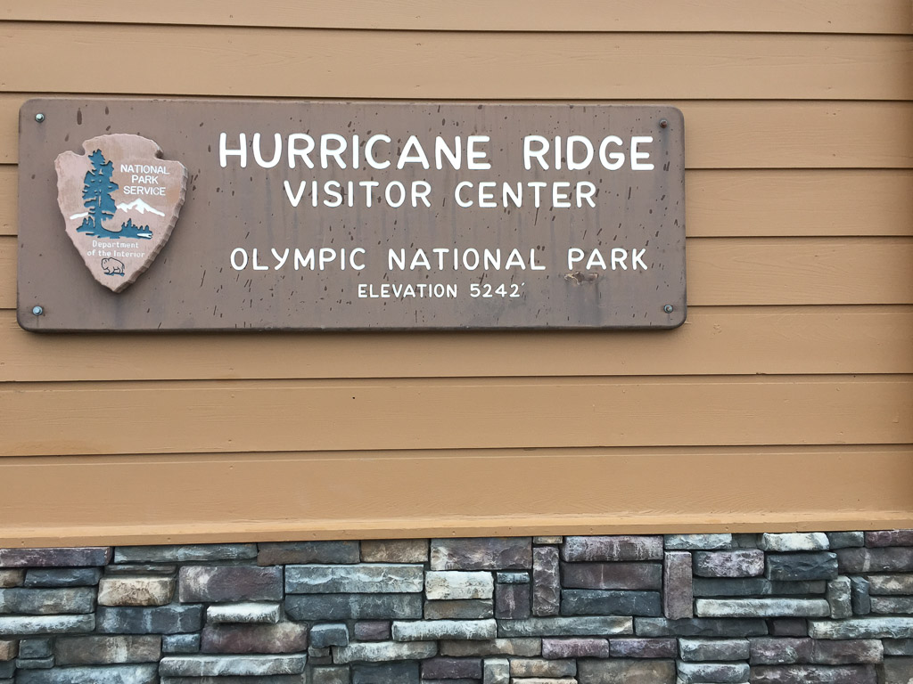 The name was a clue to the weather on the ridge.
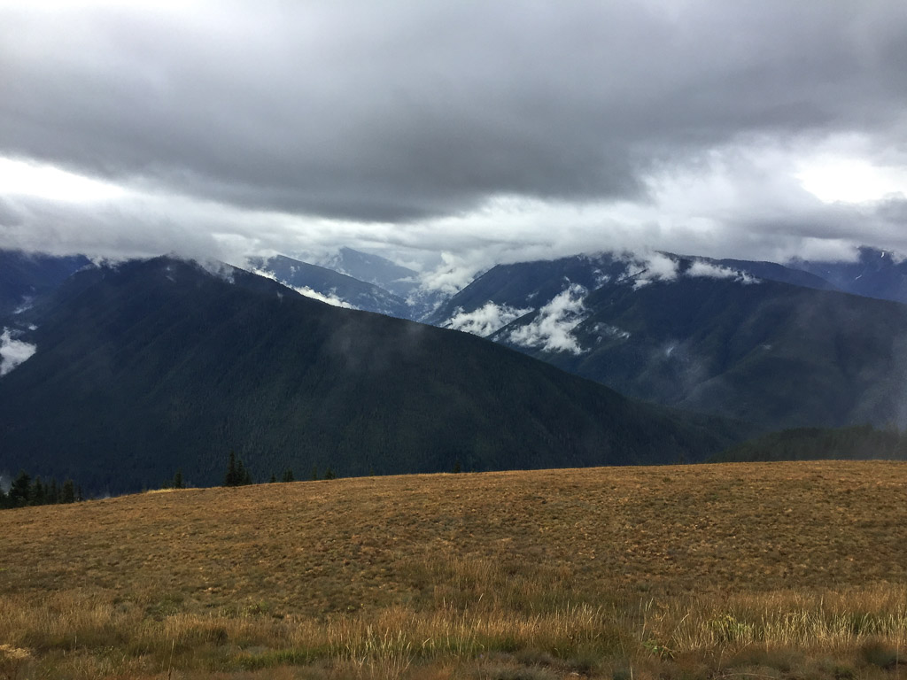 It was a wee bit
  There is a trail from the Visitor Center to the top of the nearby ridge.
 View looking down on the Visitor Center and Mt. Olympus in the clouds.
 View to the other direction and the road to the Visitor Center.
 Walking along the ridge we tried to get a view of Canada. It’s out there across the Strait of Juan de Fuca, but mostly in the clouds.
 More views along the trail.
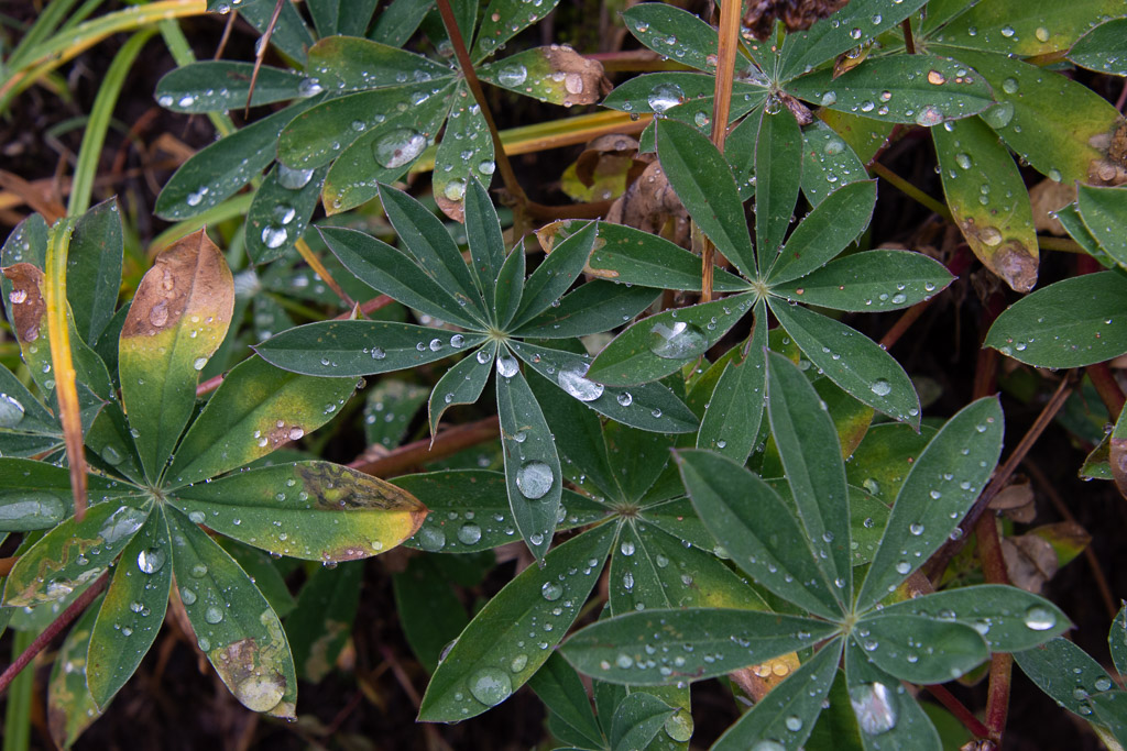

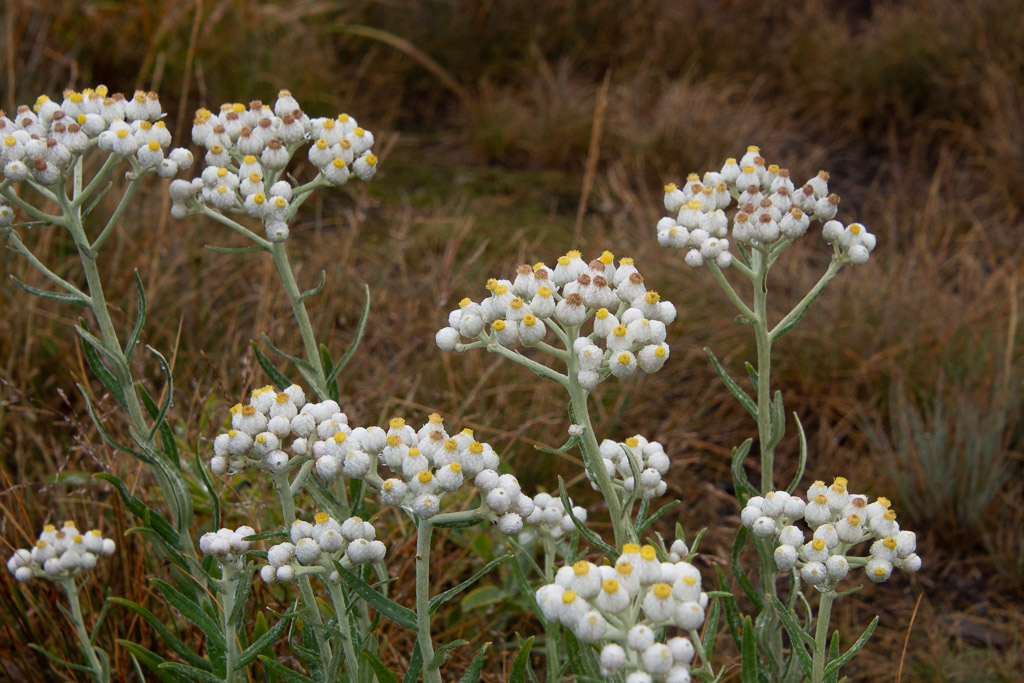 I admired these flowers blooming so late in the season. They are in the sunflower family: Pearly Everlasting.
 Goat’s Beard lichen.
 We both bought gloves. Next stop was Madison Falls at the edge of the Park near another road that follows the Elwha River.
 It is a short walk on a paved trail to see the falls.
 At this point we were thinking about where we would stay that night. As on all of our trips there is always more to see than we have time for. This was Saturday and we needed to get home on Tuesday. That left Sunday and Monday for more time in the park with a long drive on Tuesday. The bulk of the Park takes up the northern part of the Olympic Peninsula but there is also private and tribal land along the northern coast, the far northwest corner of the state, and the western portion. I wanted to go to that farthest most point of the continental U.S. but we were going to run out of time to do that and spend time in the rainforest. There is a narrow sliver of land all along the Pacific coastline that is also part of the Olympic NP so we decided that we would camp there for the night. That decided, we stopped at the next waterfall on our Waterfall Map.
 The trail to Marymere Falls was also within the Park.
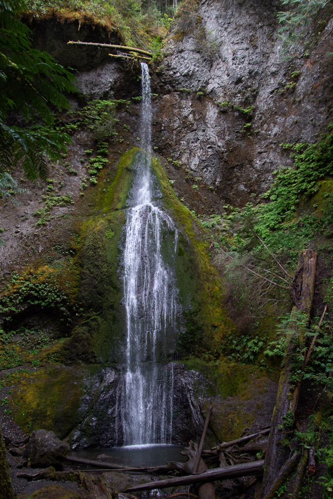 This waterfall is on Falls Creek and drops 90 feet. Take a look at the log at the top of the falls.
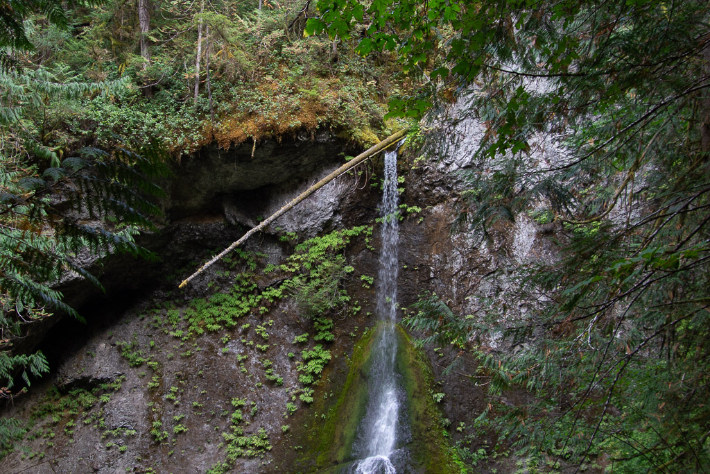 It made me think about the amount of water that must flow in this creek at times. That is a whole tree that is stuck at the top.
 Magnificent trees.
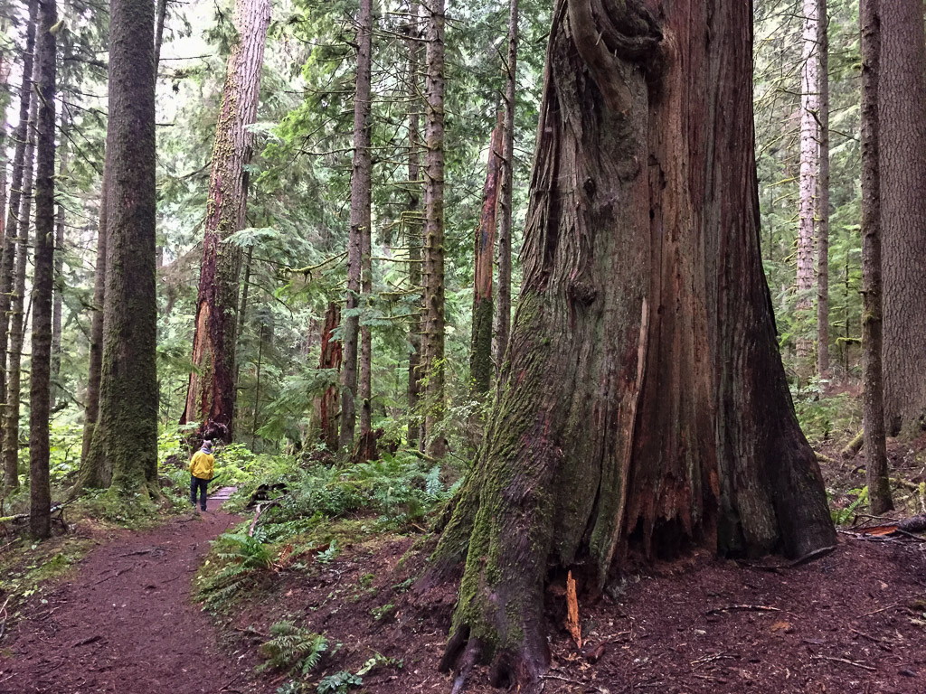
 We were walking by this tree and I saw a young woman trying to prop her phone on the ground so that she and her friend could both be in a photo of this huge tree. I offered to take the photo and then she reciprocated.
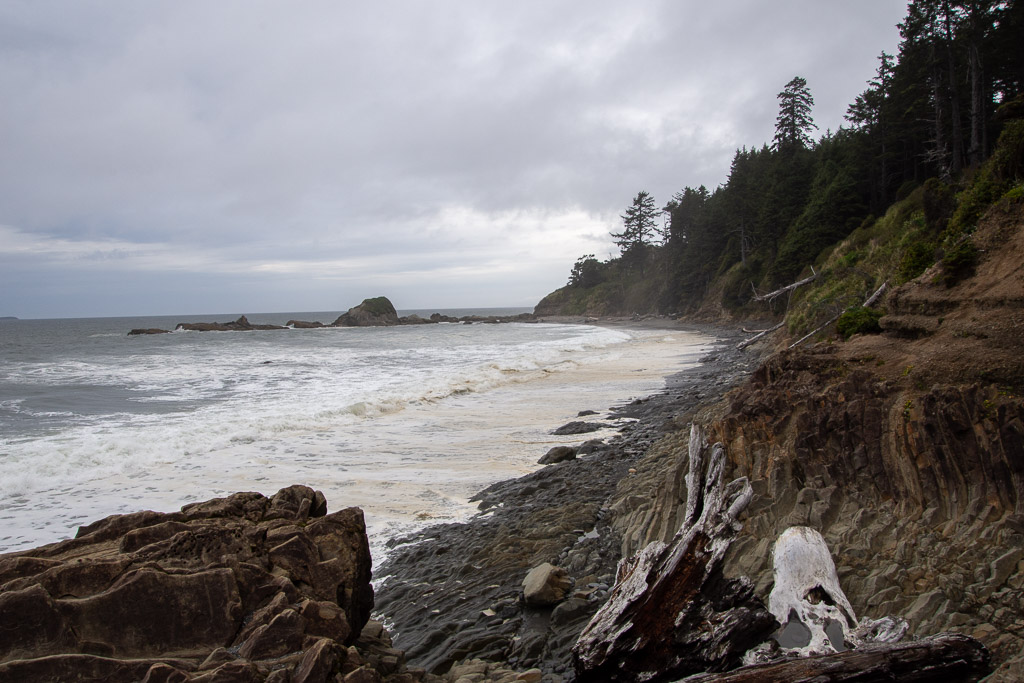 This was the first beach where we stopped. We drove south to find that the first campground was full. There was plenty of space in the other campgrounds where we stayed so we hadn’t anticipated this. The beach. RV camping. Saturday night. None of the four beach campgrounds had campsites left.
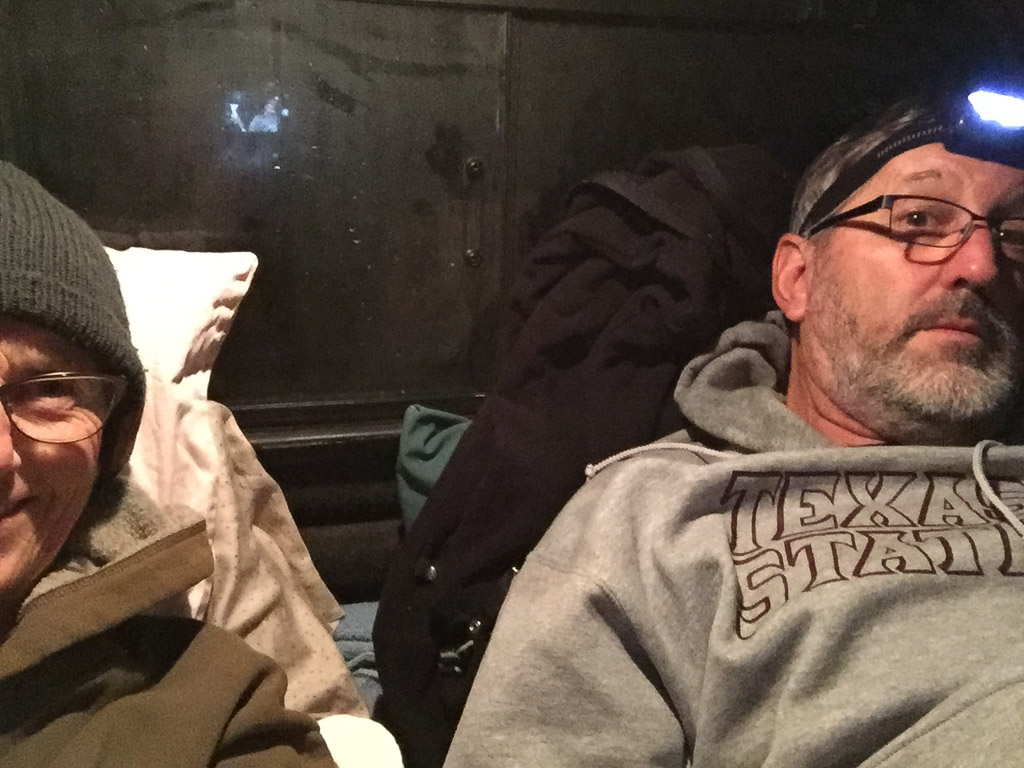 Saturday night lodging.
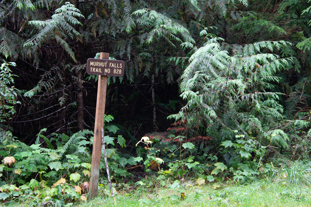 Our first waterfall on the trail, and before getting to the park, was Murhut Falls on the Duckabush River.
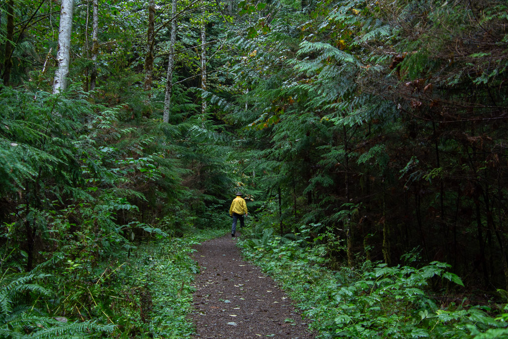 I first wondered about the name of the river. You have to duck under bushes if you don’t have a ready made trail? No, in a side trip to Google I found that it is an Indian word meaning red face, referring to reddish bluffs in the area.
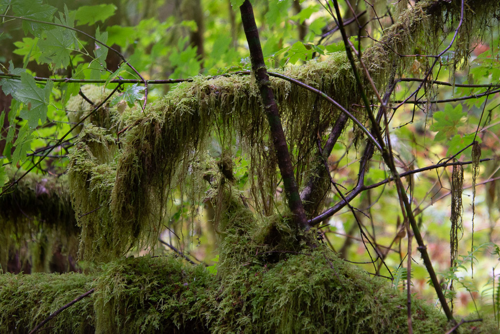
 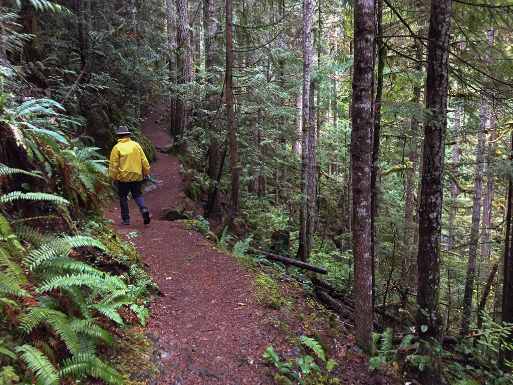 As we found in all our wanderings in this area, the forest is dense, damp, and spectacular.
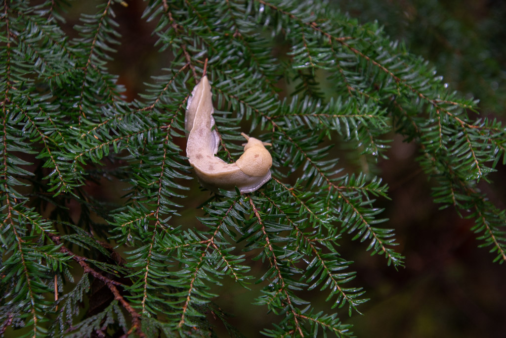 A wildlife shot along the way. So far the only wildlife I was photographing was slow moving.
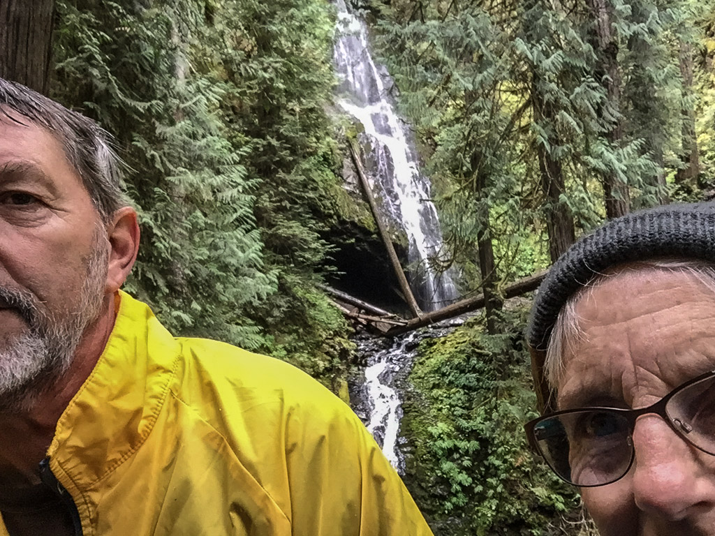 About 3/4 mile up the trail we found the falls.
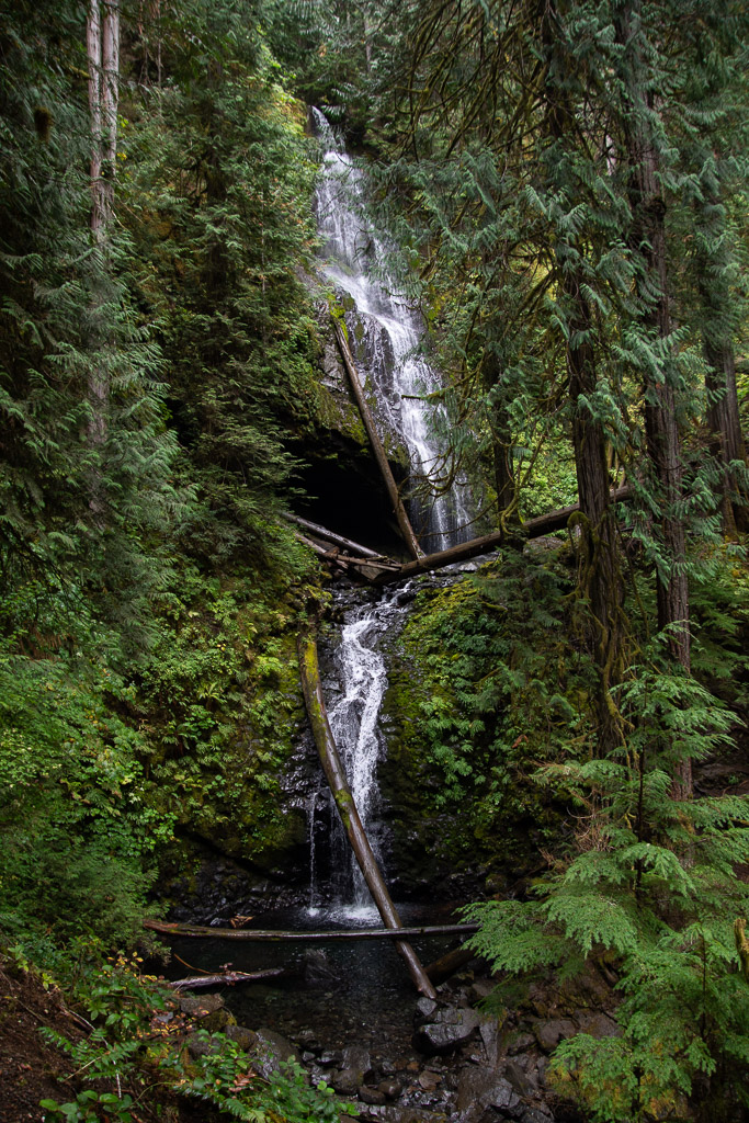 The waterfall trail guide says that this one is 120 feet with another 35 feet below this point. Photos don’t do any of the forest scenery justice.
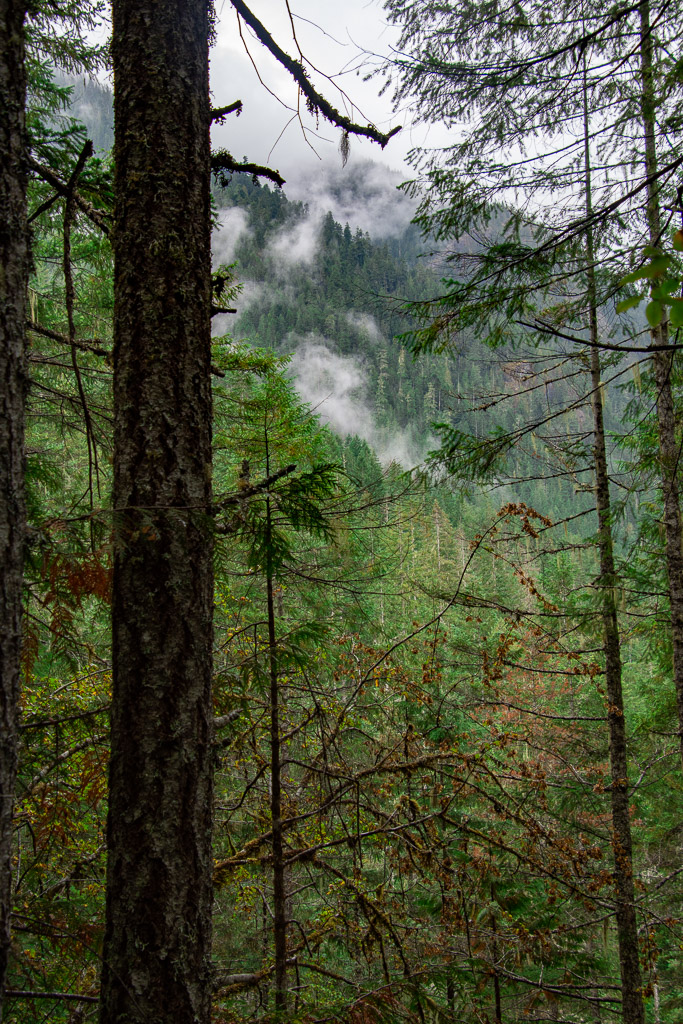 Weather continued to be damp and misty but not much real rain.
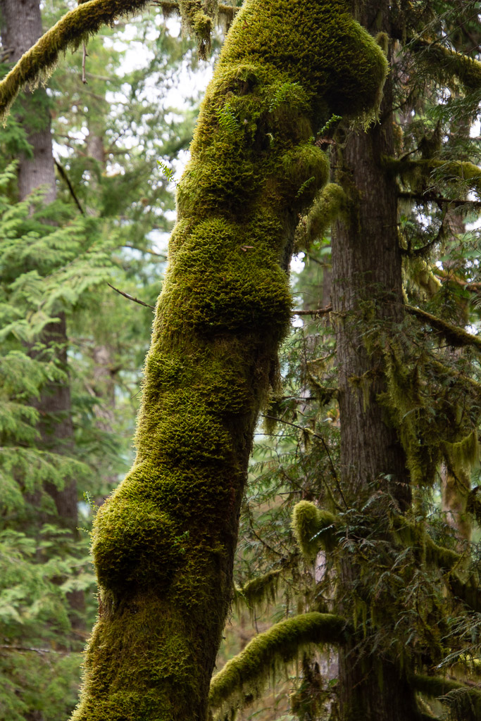 You can certainly tell that this is a wet climate as opposed to most of the places we find ourselves hiking and camping.
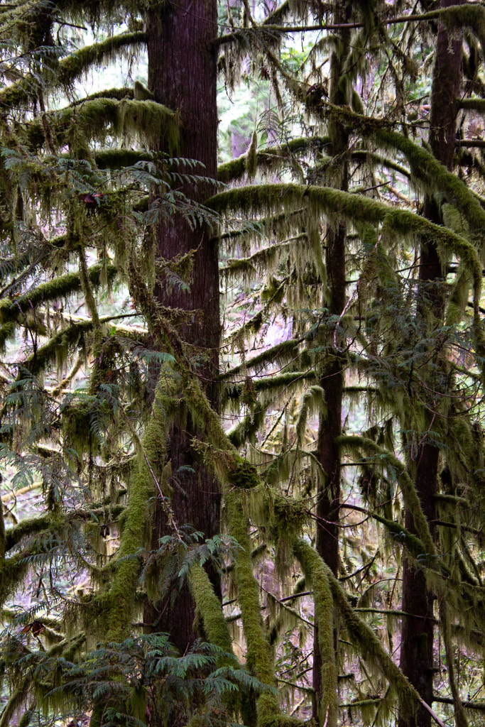
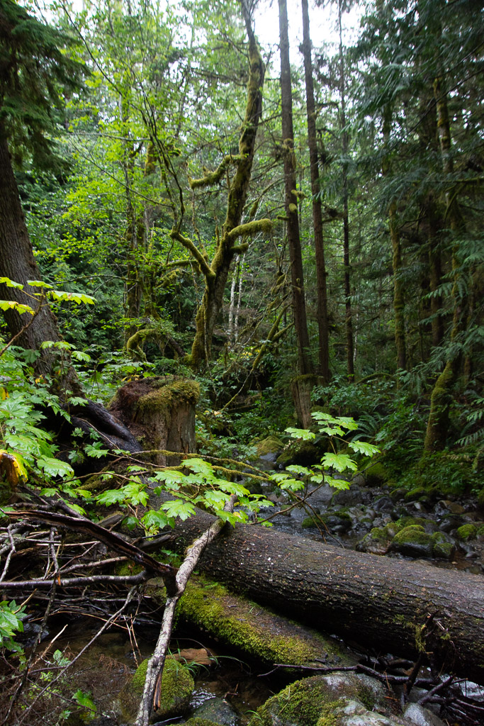
 The forest was stunning. The trees were massive.
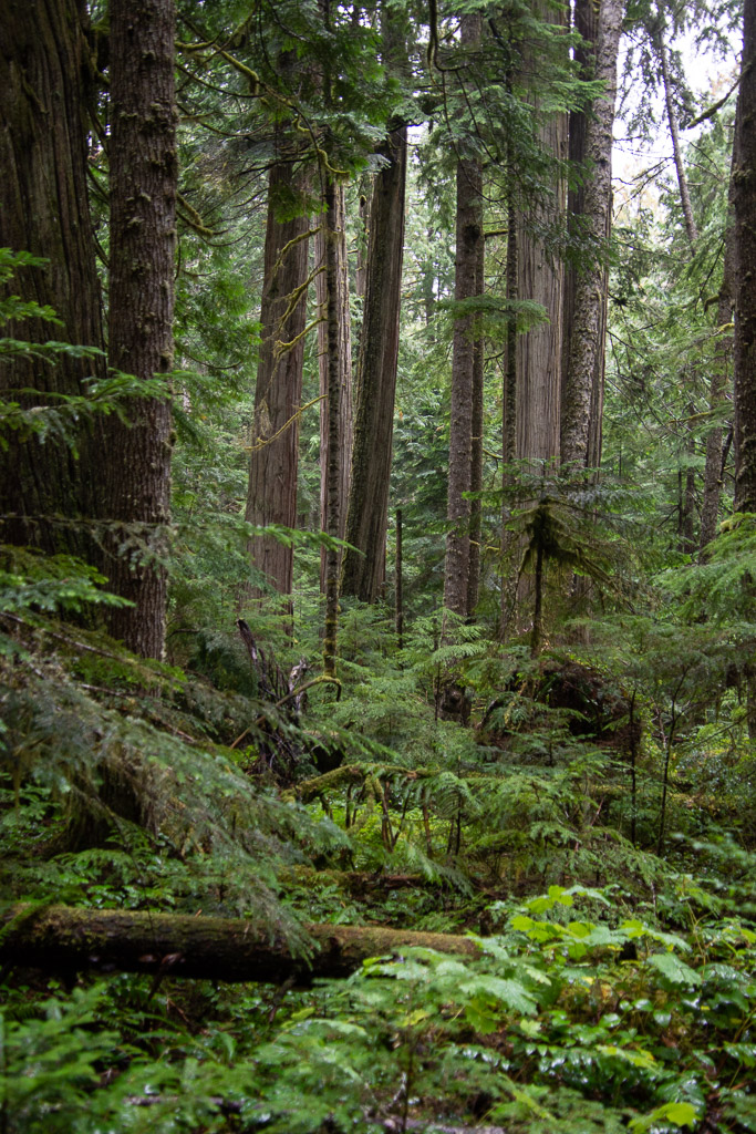 Vegetation is dense.
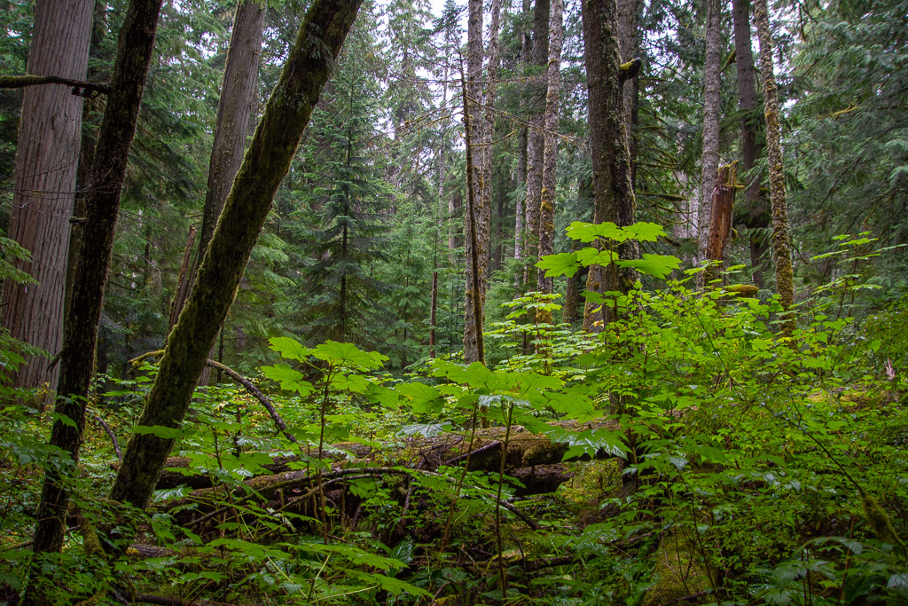
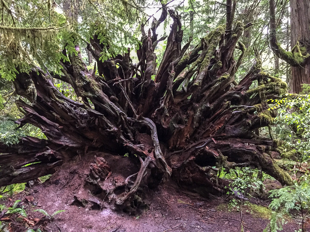 There were lots of trees down throughout this part of the forest, but it doesn’t take long before ferns and herbaceous plants are growing on the downed trees and the forest covers them over.
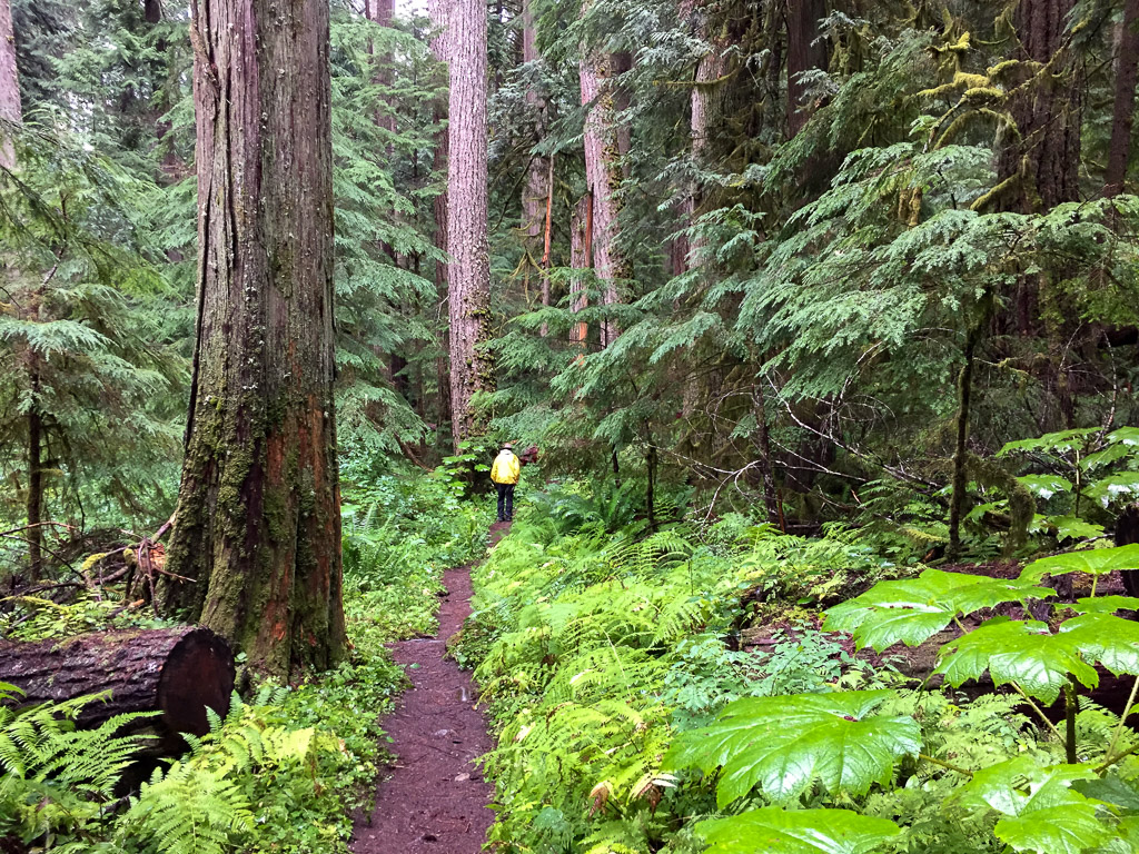
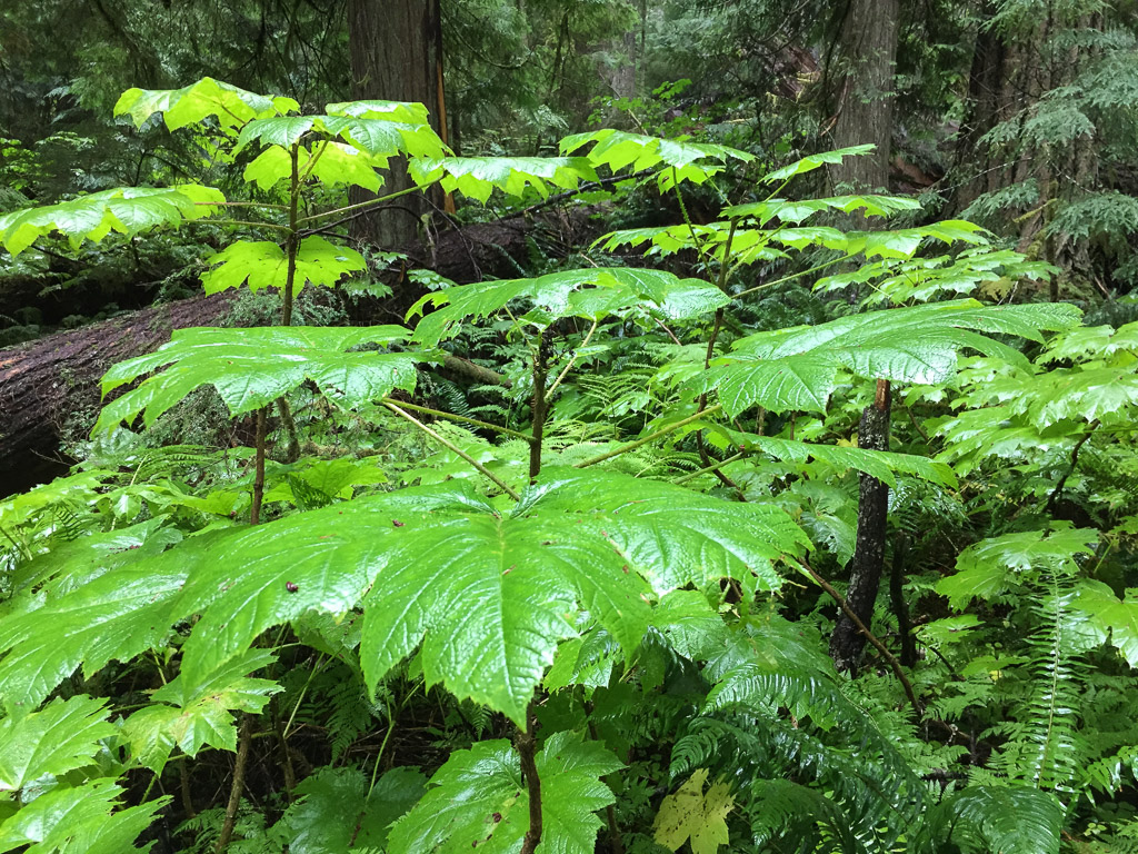 This plant with huge (up to 15″) leaves was everywhere in the understory (see the three photos above). It is called Devils Club (Oplopanax horridus) and is endemic to dense, moist, old-growth forests of the Pacific Northwest. It has a long list of uses by Native Americans from medicinals to face paint and is covered with irritating spines.
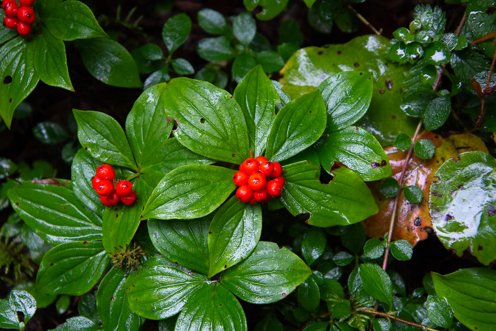 Dwarf Dogwood, Cornus candensis.
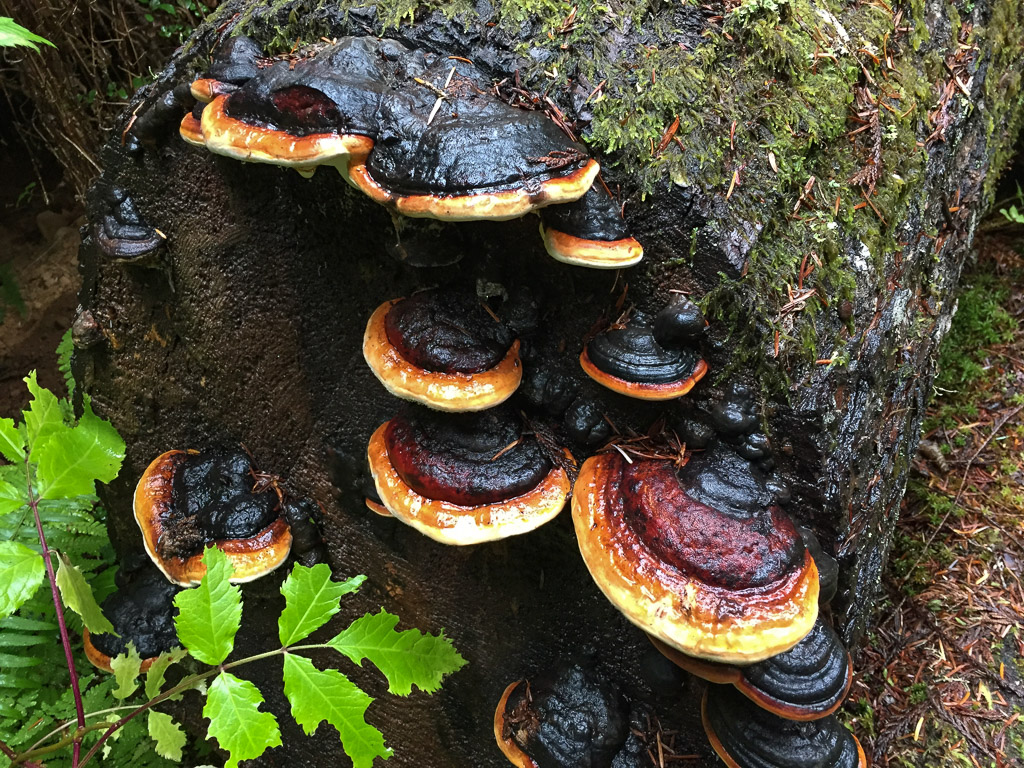
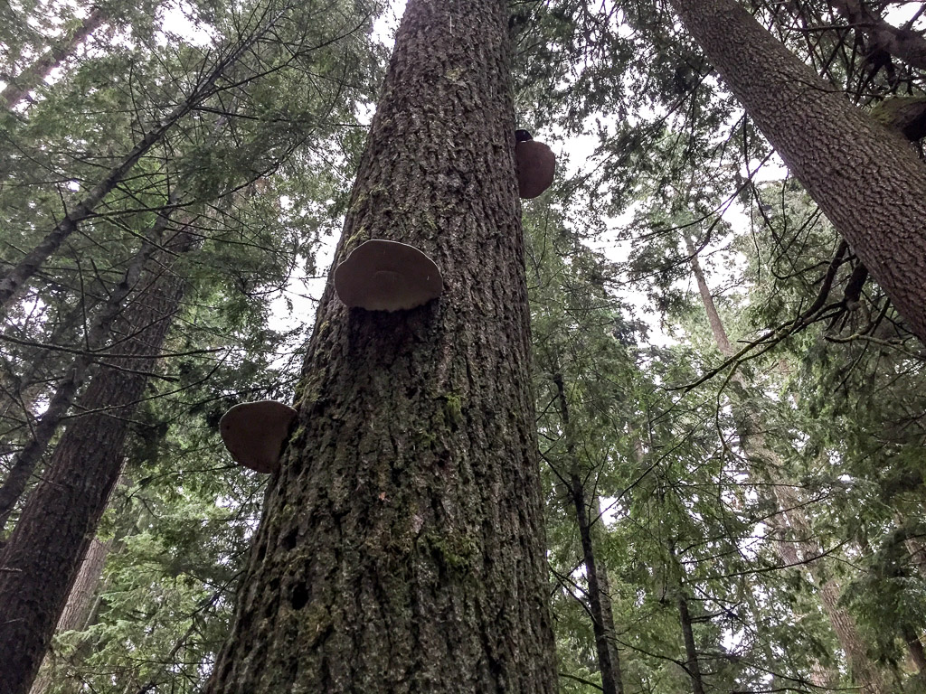
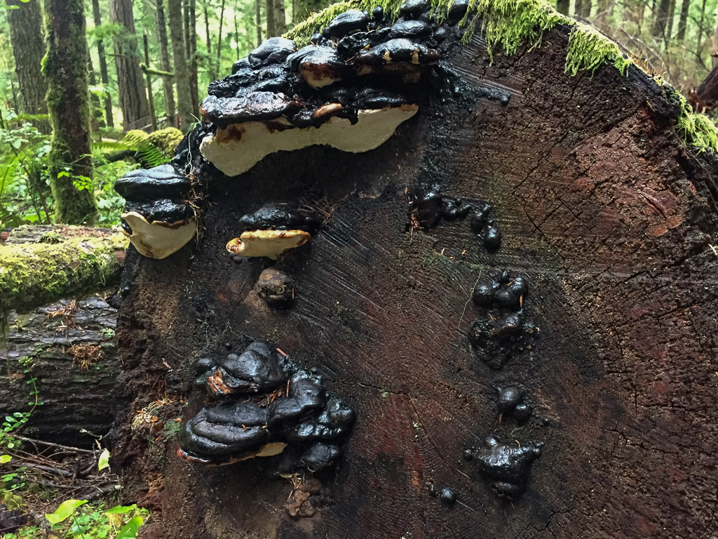 I didn’t even try to identify fungi, but took photos because I like to share these with a friend who dyes with mushrooms.
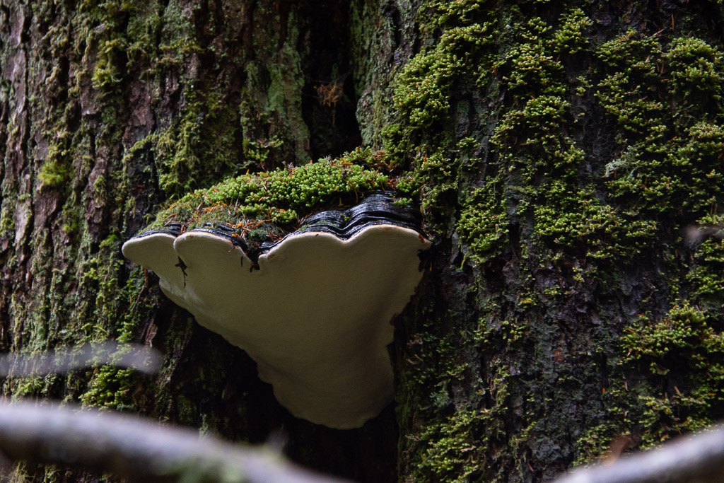
 We walked until we reached the creek and were undecided how far the trail continued. But it was getting to be dusk and we decided that we’d better turn back.
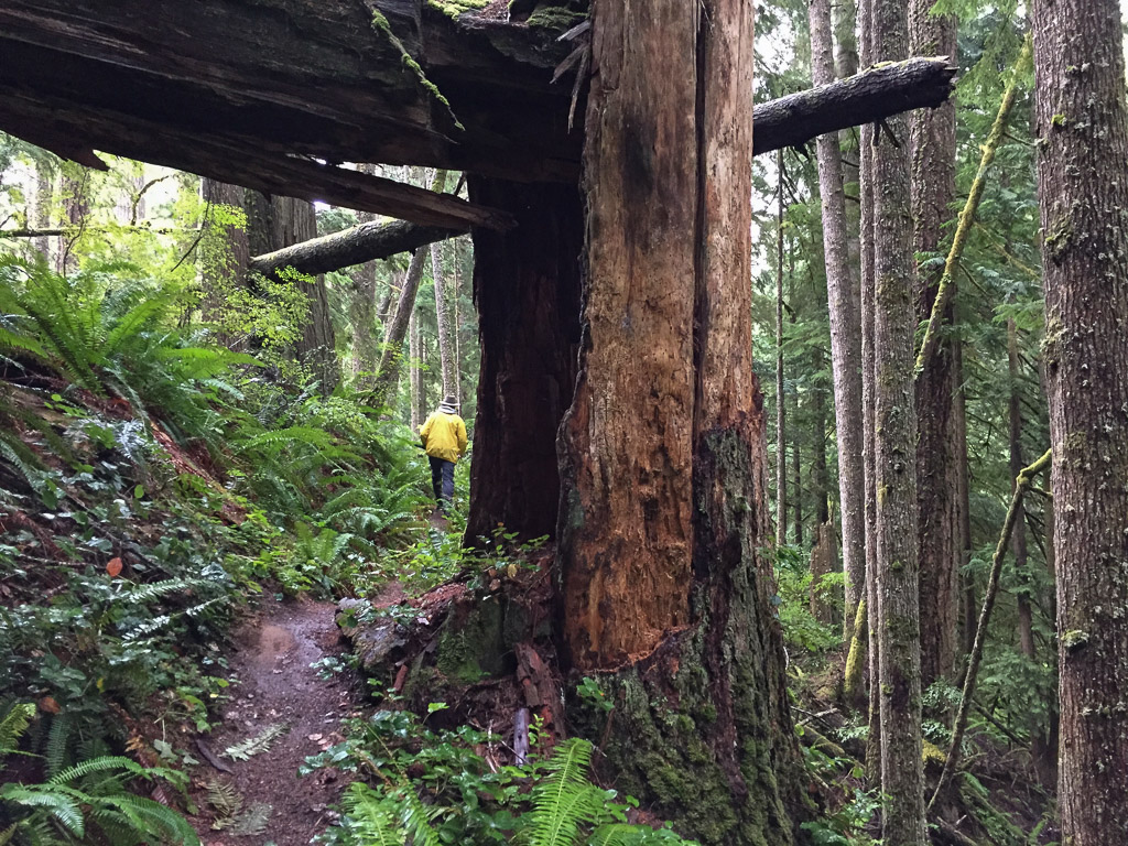 This forest would be pretty dark when the sun was down.
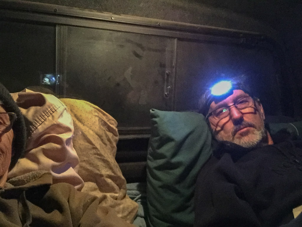 Fortunately it was warm enough with sleeping bag on top of my thick sheepskin. (Maybe it wasn’t that warm, seeing that I’m wearing my wool beanie and a sweatshirt.)
 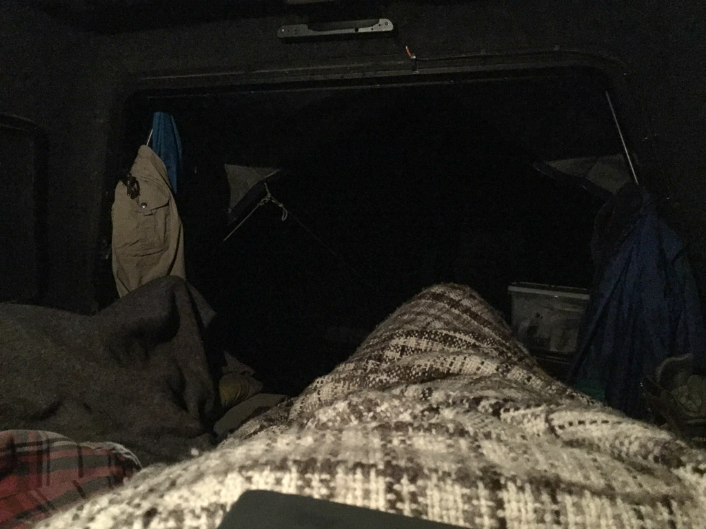 Oh, I have a wool blanket with me too (handspun Jacob by the way). This is the view out from my sleeping bag.