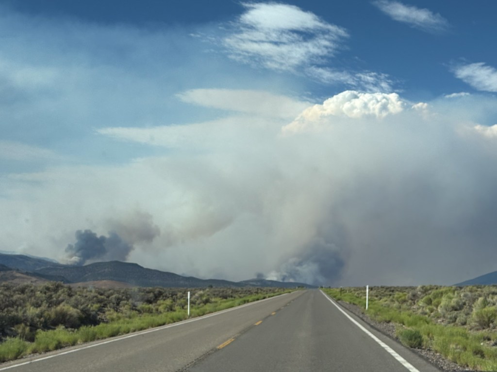
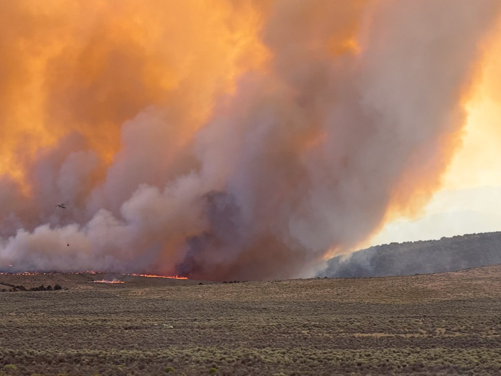
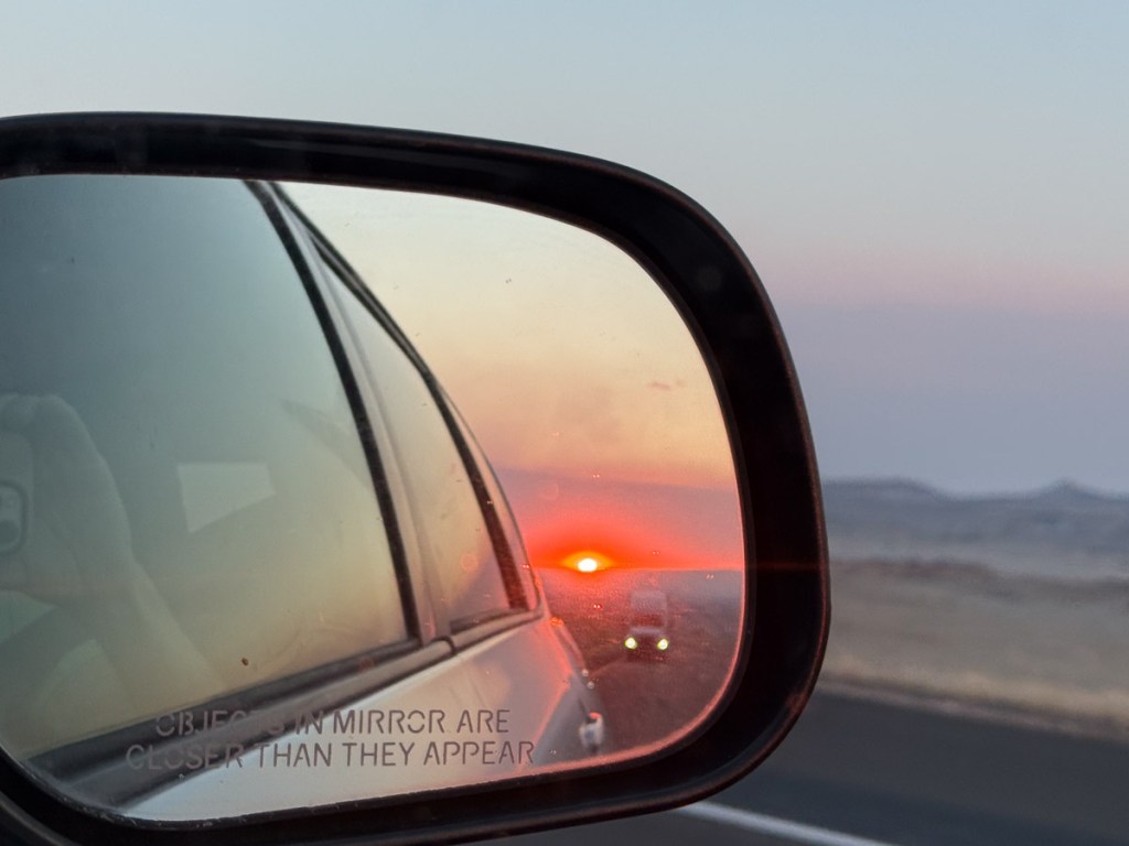
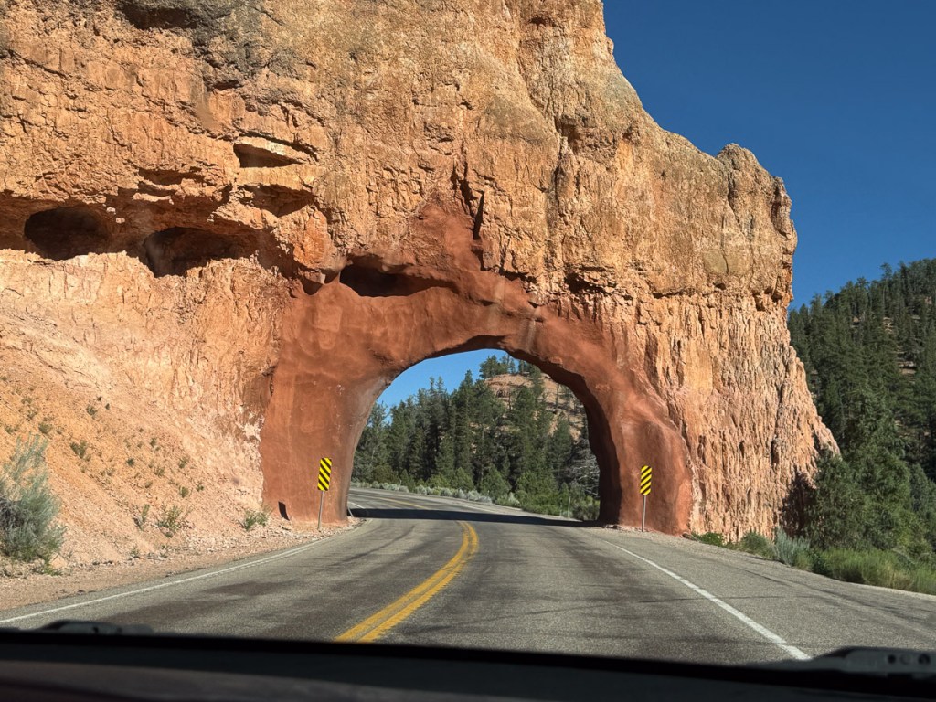
On the Road to Estes Park Wool Market and AGM

A week ago today we started the drive to Colorado for the Estes Park Wool Market and the JSBA AGM (Jacob Sheep Breeders Association Annual General Meeting–that’s why it’s easier to use acronyms). I just looked up acronym and JSBA is one when we say it “Jazba”, but AGM is an initialism. Just thought you might want to know that.

We got on the road at 8:30 with a trailer full of sheep.

Turbo, the yearling ram, was up front. A yearling ewe, Quince, with a single lamb and a two-year-old ewe, Quora, and her twins were on the left. The right compartment held 3 ewe lambs and 3 ram lambs. They were bigger than the lambs on the left who were still nursing.

We always bring our map books along, but there wasn’t going to be any National Park time on this trip.

Dan did all the driving. He likes to drive. I entertained myself in a variety of ways, often with my phone. We’re still seeing snow in the Sierras.

I haven’t been through the Sierras on I-80 in years. I think the flumes that follow the canyon are so interesting. And look at the water pouring out of this one.

Blue sky with clouds over the Nevada dessert, green from rain.

Nevada landscape. We were amazed at how green it was.

There are lots of “drive-by” scenery photos. As great as the iPhone is for photos, when zoomed in it can leave something to be desired. I left my regular camera home because I couldn’t find the battery charger and both batteries were almost dead.

More green landscape in Nevada. Amazing!

I think this is still Nevada, but I didn’t keep notes. Of course I assumed that I would remember. The photo info shows it was taken about 5:20. I guess I could do the math to figure out where we were.

Overcast sky over the Great Salt Lake, photo taken from the car on the freeway.

I know this is Utah because that is the Great Salt Lake. At this point it was 7:20 p.m.

Rainbow over hills with trees in foreground.

This was taken from a gas station in Lake Point, Utah, just past the Salt Lake.

It was at this gas station that I watered and fed the sheep. We stayed in one spot for about a half hour to give the sheep a chance to eat. Then back on the road.

I was keeping track of miles, mileage, etc. We were dismayed to calculate after this gas stop that we were only getting 10.2 mpg. We’d had 12.6 from home to Loveland and 11.6 from Loveland to Elko. Pulling a loaded trailer, at elevation, and up hills is bad enough, but fighting a headwind made the mileage worse.

We drove into Wyoming. I say “we”. Dan drove into Wyoming and eventually had to stop. We stopped at a rest stop abour 2 a.m. and I gave the sheep a little more hay. I can’t say that we stretched out in the cab of the truck because there really wasn’t room to stretch out, but we covered up with our wool blankets and slept as best we could. I got out my ipad and finished editing the minutes of Tuesday night’s Artery meeting so I could send it when I had wifi. Then I slept.

Stay tuned for the next day!

Road Trip to SD – Day 7 – Golden Spike & Rockets

My Road Trip blog posts keep getting longer and longer. I can’t decide which photos to leave out (and believe me, I’ve left out plenty) so I think each post has had more photos than the last. I know from feedback that at least some of you like the Road Trip posts so maybe you won’t give up on this one. This trip has got to end some time because I have lots more blog posts in my head (and my camera) from stuff around here. So rather than break this one into two posts it will just keep on going until it’s done.

We left off with Day 6 at dark trying to figure out where to stay. We had the map book spread out in the Subway where we had sandwiches for dinner. It was too far to any of the national forest land we were seeing north of Salt Lake City and it was dark by this time. That makes it more difficult to find a spot that is not a designated campground.  I had seen, while perusing the map, the Golden Spike National Historic Site that we thought we’d check out in the morning but still we needed to sleep somewhere. Dan suggested a place off the frontage road where we’d seen climbers on our trip out.

IMG_1596

This is what the place looked like in daylight the next morning. Except for the train track next to us and the highway next to that we weren’t disturbed. Can you read the sign that I saw the next morning? “Death’s Rock.”

DSC_3356

We took Highway 84 to get around Salt Lake City and north of Brigham City turned west to go to the Golden Spike site.

DSC_3359

Before you enter the area near the Visitor’s Center there are plenty of places to stop and read the interpretive signs. This was at the first site, looking back east.

IMG_1598

I knew generally about the building of the railroad in the 1800’s but I never knew or had forgotten the details. By the time of the Civil War there were railroads linking states in the east. It was in 1862 that Congress authorized the Central Pacific Railroad in the west and the Union Pacific Railroad in the east to construct railroads that would meet somewhere in the middle.

DSC_3361

The details make a fascinating story, and if you’re driving through Utah, this site is definitely worth your time. Before the meeting place of the railroads was finally chosen both companies continued to build grade ahead of where the track was laid. (The graders worked 5 to 20 miles ahead of the tracklaying gang.) The railroad companies were paid per mile depending on the difficulty of the terrain and they were given sections of land. So there was incentive to keep on going. The railroad grades overlapped by 250 miles before Promontory Summit was chosen as the meeting place. This photo shows the site of what is known as the Big Fill.

DSC_3361-2

Here is an enlargement of part of that. This was a ravine to be crossed and the grade could be no steeper than 116 feet per mile. Let your eye follow the slope of the rocks–that marks the ravine. The line of dirt above that is the Big Fill. The Central Pacific built that grade by blasting rock and building up that area. The Union Pacific’s solution was to build a trestle and you can see what’s left of the rocky abutment on the left and just below the Fill. There are photos of the huge trestle that was built to span the ravine (but used only four times because it wasn’t secure enough).

IMG_1600

Here Dan is walking on the Central Pacific Grade and you can see the Union Pacific Grade to the left. When you walk on this trail you can use your cell phone at marked stations and hear the information about the points of interest along the way. I find it fascinating that these two crews would have been working this close to each other. And it is so hard to fathom the work involved. Shovels and picks, mule-drawn wagons. Other than using some dynamite, everything else was done by hand. I read that in the Sierra’s sometimes they only progressed 8″ in a day. DSC_3392

We got to the headquarters just after it opened and went to the Visitor’s Center.

IMG_1602

There was a display with watches. This is an example of one of those things that never would have occurred to me to wonder about. When did we start worrying about Time?  This is from a sign in one of the displays: “With the completion of the transcontinental railway, marking and maintaining precision time became more important than ever before. Prior to standard railway time, each city and town had it’s own time, often connected to “sun time” which was based on the sun’s movement across the sky. As rail lines crossed various local standard times, scheduling became increasingly complicated. Timetables and timekeepers, therefore, were essential parts of railroad operations.”

DSC_3378

This is a view along the track (a replica now) at Promontory Summit…

IMG_1606

…and here is where the Golden Spike was symbolically tapped and the final iron spike was driven to complete the railroad. There can be many facets to every story and this is no exception. The material at the Visitors Center (as well as all the others that I’ve visited) speaks to the ramifications of our (humankind in general, and the White Man in the relatively recent history of the U.S.) relentless desire to control and often exploit our surroundings and each other. The achievement of this feat led to the decimation of the bison herds, destruction of the American Indians’ way of life, and “progress”. The West was opened up.

IMG_1610

On that final day two locomotives met at Promontory Summit. The wood-powered Jupiter came from the West…

IMG_1613

…and the coal-powered  No. 119 came from the East.

DSC_3386

These engines are fully-functional replicas of the originals made in 1979.

DSC_3387

DSC_3388

They weren’t in operation when we were there because the track was being repaired, but    usually they are taken out during the summer…therefore they need wood and coal to operate them.

DSC_3385

DSC_3384

IMG_1618

We spent some time in the No. 119 talking to the man who operates the engines.

IMG_1622

IMG_1621

IMG_1625

We drove part of the Union Pacific grade, now a road,  when leaving the site.

DSC_3401

We made a couple of stops along the way. I didn’t take many flower photos on this trip. When you’re practicing 70 mph drive-by photography flowers usually aren’t the subjects of choice. I did love seeing the wild sunflowers that were everywhere.

DSC_3404

Time to head home. The map app showed 10-1/4 hours. Go!

DSC_3419

Wait! There was one more stop. From where we first got out to look at the railroad grades you could see what looked like industrial complexes covering the hills to the east. When we got back to the main road and turned north we saw that all the property to the east was part of the Orbital ATK complex. Their website says: “As a global leader in aerospace and defense technologies, Orbital ATK designs, builds and delivers space, defense and aviation-related systems … Our main products include launch vehicles and related propulsion systems, satellites and associated components…”

IMG_1628

There was a Rocket Display outside the headquarters. Each piece was labeled with specs and details of use.

DSC_3418

DSC_3410

This is the reusable solid rocket motor from the Space Shuttle.

DSC_3415

A sign that amused me is the one in red lettering that says “Please do not climb into the nozzle.” I guess that wouldn’t have occurred to me. The blue sign is shown below.

IMG_1631

This one pointed out the railroad grades that we just visited (red for Union Pacific and blue for Central Pacific), site of the Big Fill, Promontory Summit, and the route of the pioneers, all of which were visible from here.

IMG_1639

Now it was really time to start for home. These are alfalfa fields in Utah…

IMG_1640

…and huge barns to store all that hay.

DSC_3435

We had noticed these structures under construction when coming the other direction. I looked this up later and and found that they are overpasses for deer to try and reduce the high number of deer/auto collisions in  this area. They’ll be filled in with dirt and vegetation and fences will be put along the freeway to funnel the deer to that area.

DSC_3427

Usually when we drive on these trips I don’t do much reading or other activity even though I’m not the driver.

DSC_3437

I enjoy watching the scenery. That is what a road trip is about. But driving home from Utah on I-80 isn’t new anymore. And it’s not as fun when you are driving straight through without stops.

DSC_3439

I still appreciate this landscape, but I ended this trip reading through much of the travel on this day and I read parts of the book to Dan. I read Overdressed: The Shockingly High Cost of Cheap Fashion by Elizabeth Cline. From the cover: “Overdressed does for T-shirts and leggings what Fast Food Nation did for burgers and fries.”—Katha Pollit. I’ve been immersed in these ideas for a long time with my Fibershed involvement but it was relatively new to Dan. Now he sees the ads in the paper in a whole new light. I could go on about that topic but I won’t. I recommend that you read this book.

DSC_3444

Heading west into the sunset. It was getting dark. No more reading.

IMG_1642

IMG_1644

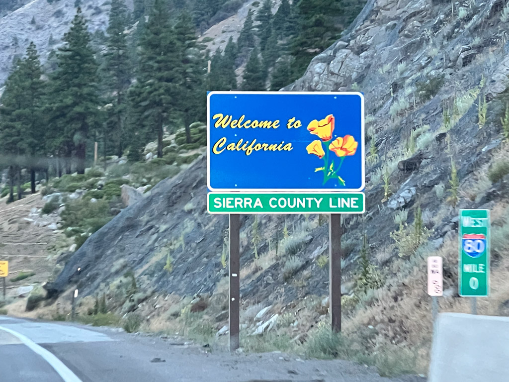
A blurry photo as we entered California.

IMG_2050

Here is a map of the trips we have taken over the last five years when we started our Road Trips. This year’s trip is in yellow. Now that Dan is retired maybe we’ll be able to do more than one a year. One of us isn’t retired though and has a lot of animals to take care of.

Road Trip to CO – Four Corners to Dark

Our 8 day road trip was almost over. We spent Monday night and Tuesday morning in Mesa Verde National Park but needed to be home on Wednesday. We decided to drive through Four Corners and Monument Valley–it wasn’t much out of the way and Dan had never seen the area (and I had been there just once).

DSC_1391

Most of the photos in this post were taken from the truck window at 70 mph. I found that I could sometimes roll the window down (yes, roll, there are no push buttons in this truck), sometimes remove the lens cap, and sometimes turn the camera on, but not always all three of those things.

DSC_1395

Four Corners is notable for being the only place in the United States where four states meet. It is also marks a boundary between the Navajo Nation and the Ute Mountain Ute Tribe Reservation. The Navajo Nation runs the Four Corners Monument as a tourist attraction.

IMG_2938

This is not the actual monument, but part of a sign about the surveying that began in the 1860’s. Wikipedia says, “the origins of the state boundaries marked by the monument occurred just prior to, and during, the American Civil War, when the United States Congress acted to form governments in the area to combat the spread of slavery to the region.”

IMG_2940

The marker itself is in the center of this courtyard. Notice the line of people to the right. They are all waiting to take their photos over the marker. We didn’t join them, but walked around the outside where there are stalls in which Navajo and Ute members sell souvenirs. Then we got back on the road.

DSC_1414

We took Highway 160 southwest to Kayenta where we turned north on Highway 163 to head back to Moab, but drive through part of Monument Valley. Wikipedia: “Monument Valley is a region of the Colorado Plateau characterized by a cluster of vast sandstone buttes, the largest reaching 1,000 ft above the valley floor…Director John Ford used the location for a number of his best-known films, and thus, in the words of critic Keith Phipps, ‘its five square miles have defined what decades of moviegoers think of when they imagine the American West.’ “DSC_1416

DSC_1419

DSC_1424

DSC_1435

DSC_1439

DSC_1446

Spectacular country for it’s rock formations. A tough place to live on the land.

DSC_1459

This rock formation kept us entertained for many miles as we drove closer and closer to it. I think it is just north of Bluff, Utah. I have googled a variety of words to describe this near both Bluff and Mexican Hat, Utah, but I don’t see any photos like this.

DSC_1473

I do know the highway roughly followed the course of the San Juan River between those two towns. The rock formations that show up on-line are the Mexican Hat for which the small town is named and…

DSC_1474

…Navajo Twin Rocks near the town of Bluff.
IMG_2943

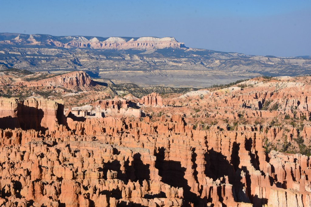
We continued to see red rock formations as we drove north toward Moab.DSC_1477

DSC_1486

DSC_1488

DSC_1499

We hadn’t started the trip in Moab, but we’d been there just four or five days ago. I checked to see how long it would take to get home. I couldn’t get the phone to show me the route that we planned to take. We were headed to Highway 50 to cut straight across Nevada.

DSC_1494

We passed Arches National Monument where we’d spent a day hiking

DSC_1507

…and picked up Highway 50 at Crescent Junction.

DSC_1521

The plan was to drive west until we needed to stop.

DSC_1530

We’d seen some of this spectacular country but it looks different going the other direction.

DSC_1532

DSC_1533

We drove until it was took dark to take photos and then we kept driving.

To be continued…


Road Trip to Colorado–Tonopah to Moab

After the tire problem the night before (this blog post) we knew that before we drove farther we needed to buy new tires.

Tonpah rest stop

We had driven to a rest stop just west of Tonapah, Nevada, where we spent the first night of this trip.

Tonopah NV

We drove through town looking for a tire store and I remembered this motel from a previous trip through Tonopah when we were looking for a motel late at night. We chose something that did not advertise clowns. Sorry, Clown Motel.

Most of the rest of these photos are DBP (drive-by photography). The goal was to get to Arches National Park or close to it so that we would have all of Friday to spend at the park.

UT-0778 Hwy 50

Dan likes to drive and that’s fine with me. I keep myself amused with following along on the map or with the phone (if there is service…which there wasn’t for a lot of this trip) and by taking photos.

UT-0780 Hwy 50

UT-0780-cosmic ray

We saw these “things” regularly spaced on both sides of the highway for several miles in Millard County, Utah. All we could make out was what looked like solar panels on a framework and we speculated as to what they were–we decided that they were to monitor or measure something, but what? As we drove into Delta, Utah we just happened to see several of them in what looked like a parking lot beside a building that said Cosmic Ray Center. I googled “cosmic ray delta utah” and found a lot of references to the Telescope Array Project: “The Telescope Array project is a collaboration between universities and institutions in the United States, Japan, Korea, Russia, and Belgium. The experiment is designed to observe air showers induced by cosmic rays with extremely high energy. It does this using a combination of ground array and air-fluorescence techniques. The array of scintillator surface detectors samples the footprint of the air shower when it reaches the Earth’s surface…” OK, you lost me. At first I wondered if this was for real (thinking of driving through Roswell, NM last year with it’s focus on Aliens) but I guess it is. Who knew what we’d learn on the road?

UT-0782-shoe tree-

I also learned from googling, that “Shoe Trees” are a real thing, although of less lofty impact. There will be more about this in a future blog post.

UT-0785-Delta

Where there is water the desert is held at bay. There were plenty of alfalfa fields throughout this valley in Utah.

UT-0791

Towards the east the patterns and rock formations were impressive…

IMG_2612

IMG_2620

…and we began to see “red rock country”.

IMG_2619

This is U.S. 50 in central Utah, which is known as the “Loneliest Road in America”. I just looked this up and now I understand why there is a sign in Sacramento for Ocean City, Maryland (see my first blog post for this trip). U.S. 50 is also one of the longest highways in America, going between Sacramento and Ocean City. I always thought that it was just because someone in the Sacramento Highway Department has a sense of humor.

We drove U.S. 50 to Highway 191 where we turned south to Moab. Arches National Park is just east of the highway and north of Moab and seeing the spectaular scenery whetted our appetites for the next day’s adventures.

It was late though and we needed to stay somewhere. Arches N.P. has very few campsites, but there are several in the Moab area. We found a BLM campsite on the Colorado River right outside of Moab.

DSC_0792

The sun was going down, giving intensity to the red rock cliffs.IMG_2621

The campsite was right next to the river. River + Dusk = Mosquitoes. They were relentless. IMG_2623

We quickly set up our tent and retreated until after dark when we ventured outside to heat up a couple of cans of chili.