As much as I love to read, when I look at blogs I’d rather see photos…especially good photos. That is one reason I like Celi’s blog, thekitchensgarden . I don’t know how Celi finds the time, but she writes a daily post and it’s fun to keep up with what is going on at her farm. Celi recently posted a request to see the views from her readers’ back porches.
My back porch view isn’t too exciting: The back porch looks directly at the back door of my on-farm shop where I teach classes and sell fiber and yarn and related equipment. It’s less appealing right now because we have been remodeling it and it’s essentially a construction zone for the time being. Nevertheless, Farm Club members enthusiastically encouraged me to send Celi a photo.
Celi’s idea made me think of other views that I thought I’d share. How about the views from the barn?  From the second story of the barn looking northeast. That’s G-2 (Dan’s hide-out) on the left, and G-1 is hidden in the trees. My shop is barely visible in the break in the trees on the right and the house is behind that. By the way, none of those trees were here when we moved here in 1999. I’ll have to post before and after photos some day.
 View from the barn looking south. I irrigated yesterday so the sheep are all locked in to the barn area. Normally they would be in the pasture, which is strip grazed using electric fence.
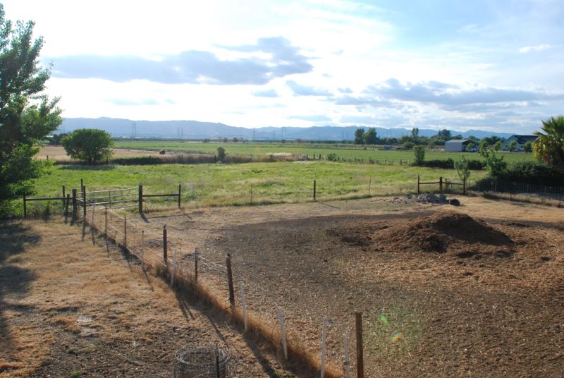
 View from the second story of the barn looking northwest. We are on the western edge of the Sacramento Valley and those hills are the easternmost part of the Coast Range. The mound in right foreground is the all important
 manure compost pile which features prominently in several Lamb Game Videos.
What about a view OF the barn? Here is a view of the barn looking west. The sheep are on the non-irrigated side of the fence since the pasture will have to drain for a few days before they go back out. The house and the shop are to my right in this photo.
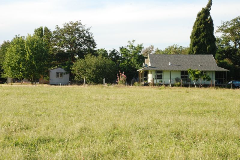
 This is from the pasture looking north.
  And if I turn slightly and look more north I see the end of the shop and the house that my mom used to live in. Our house is right behind that one.
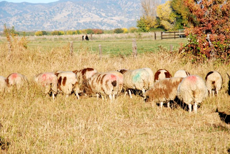
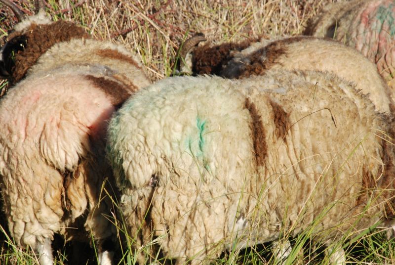
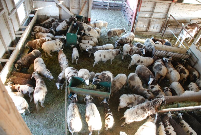
What about a view INSIDE the barn? This isn’t all the sheep. There are about 60 adults, counting rams, and 80+ lambs. There is Amaryllis in the upper right. The sheep can go under that fence, but Amaryllis has to stay on the other side so that she doesn’t get the alfalfa I feed to the sheep.
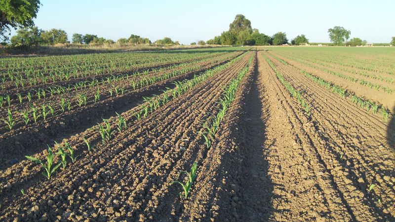
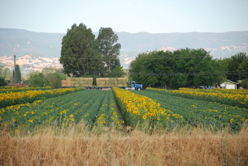
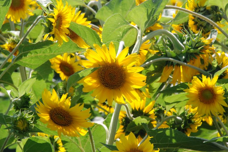
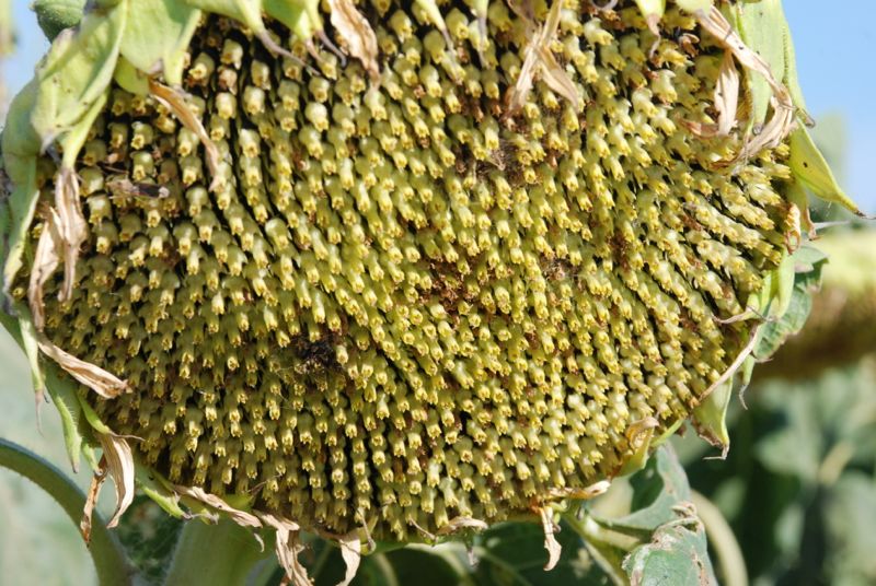
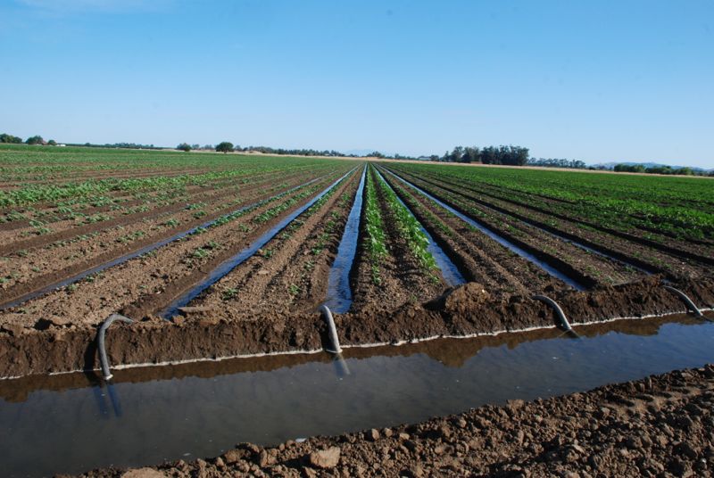
There is another view that is important to me. We have only 10 acres, but it feels like much more because we are fortunate to live across the road from much larger farmland. This year’s crop is sunflowers. It doesn’t look like much now, but in a couple of months I know I won’t be able to put my camera down when I walk over there. This is the view of the field from my mailbox. I have been taking a photo of this same view once a week since January with the idea that it will be interesting to see at the end of the year.
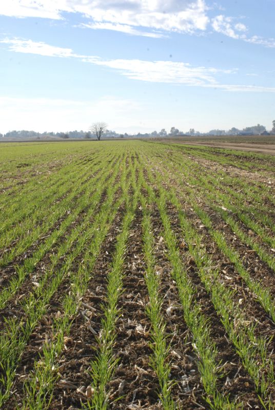
 Remember, without irrigation the Sacramento Valley would be a desert all summer.

 I usually think of poppies as orange but these are yellow.


 Those mounds of white flowers look like this close up. I’m pretty sure this is Meadow Foam (Limnanthes).
 What about the yellow ones?

 I think these are Goldfields (Lasthenia) but I’ll stand corrected if anyone knows for sure.
 When I saw this popcorn flower popped into my head (unintentional pun) but I don’t know if that is correct.
 And what about this one? A Brodiea species?


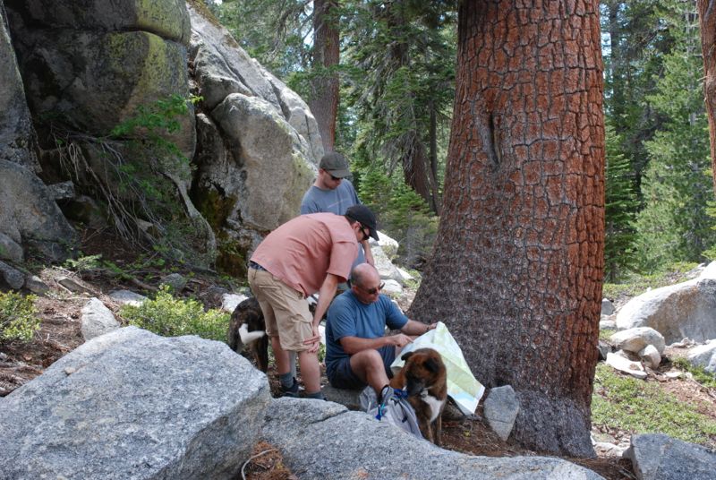
 We used this one-night camping trip as a trial run to see how we liked sleeping in the old green truck because we are thinking about a road trip during the summer. It wasn’t like home, but was much better than sleeping in the back of the Explorer at the Grand Canyon a few years ago.


 …close.


 This is Sam and Kirin, my grand-puppies.


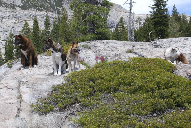
 Dan’s co-workers are invaluable assets to his farm. Mo, Taff, and Ernie have starring roles in

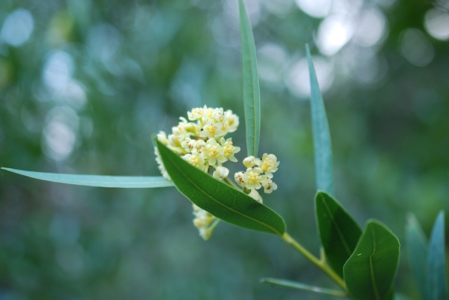
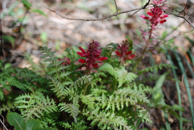
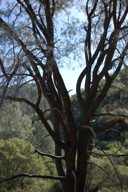
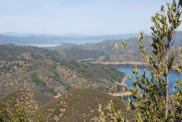
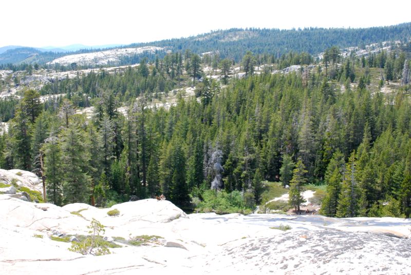
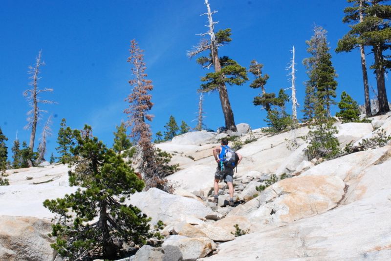
 What a beautiful spring day in the Sierra foothills! This is gorgeous country, especially when it is so green this time of year. I will admit that during lunch I lay down in the grass and the warm sun and fell asleep. I don’t do that very often!