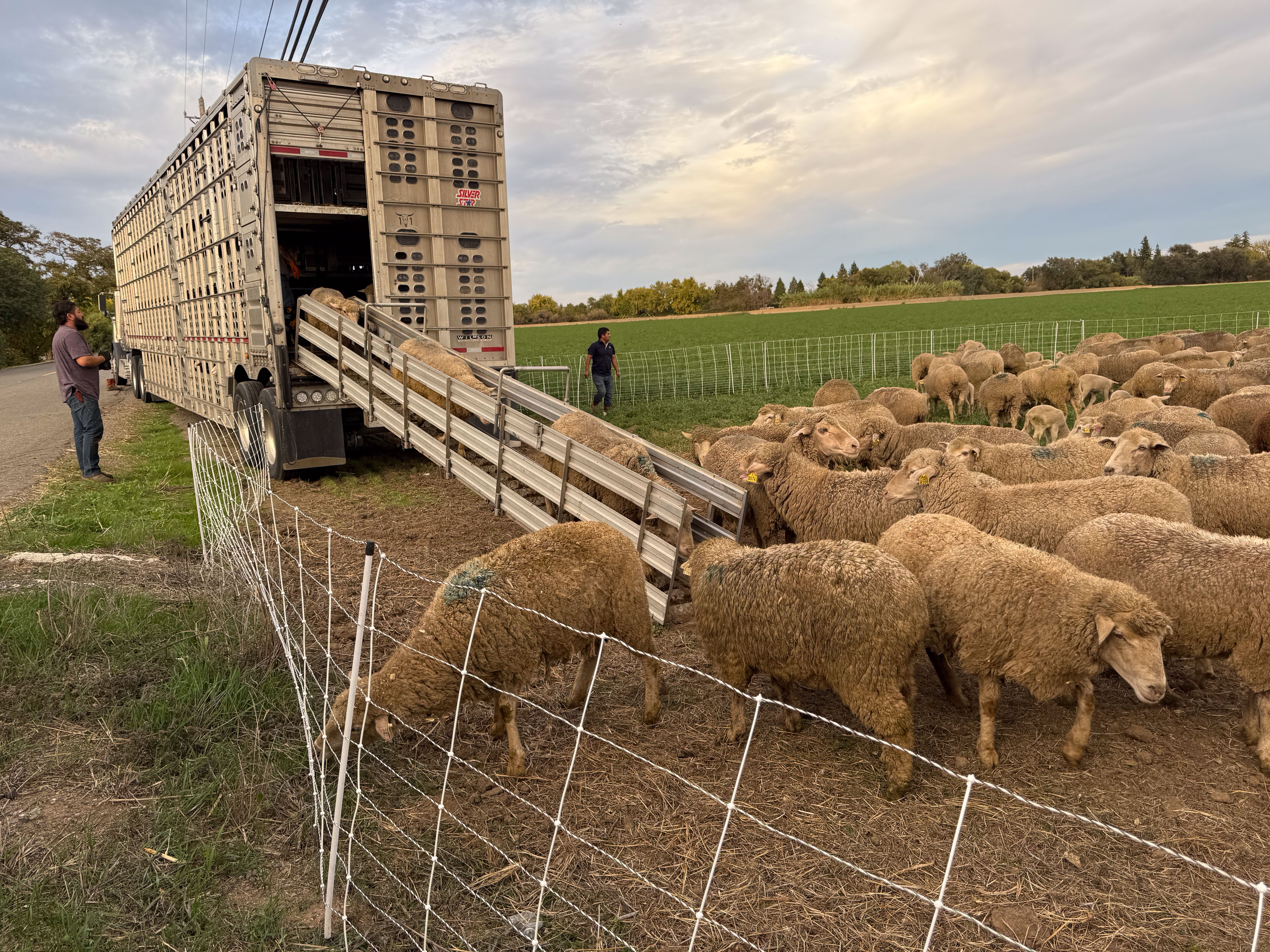
The title is significant. I don’t know that we have ever grazed into December. There wasn’t enough feed and the ground was too soggy. Now we have lots of green feed and need to keep the sheep eating it. The downside is that the rain seems to have stopped and we will need more.
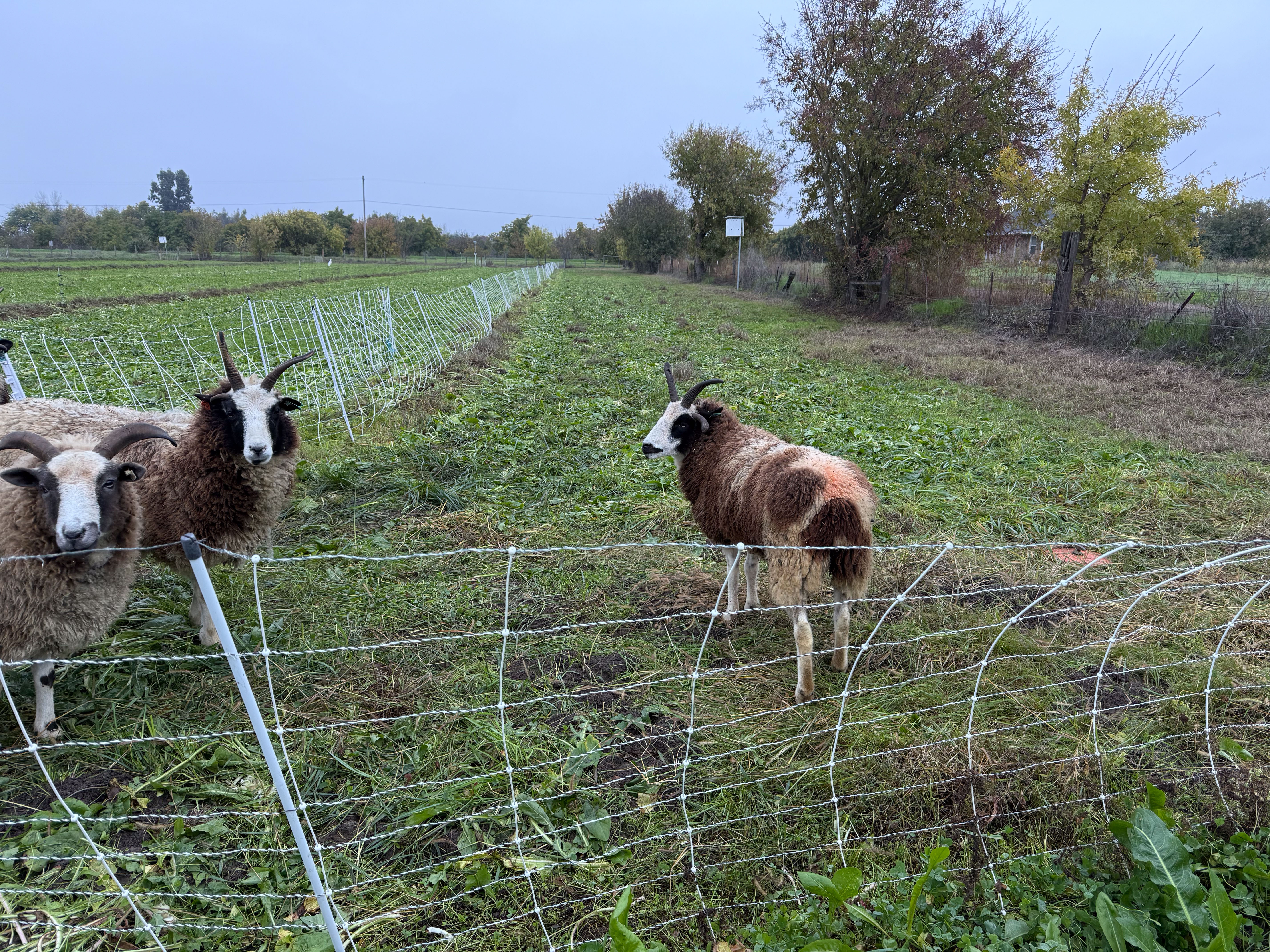
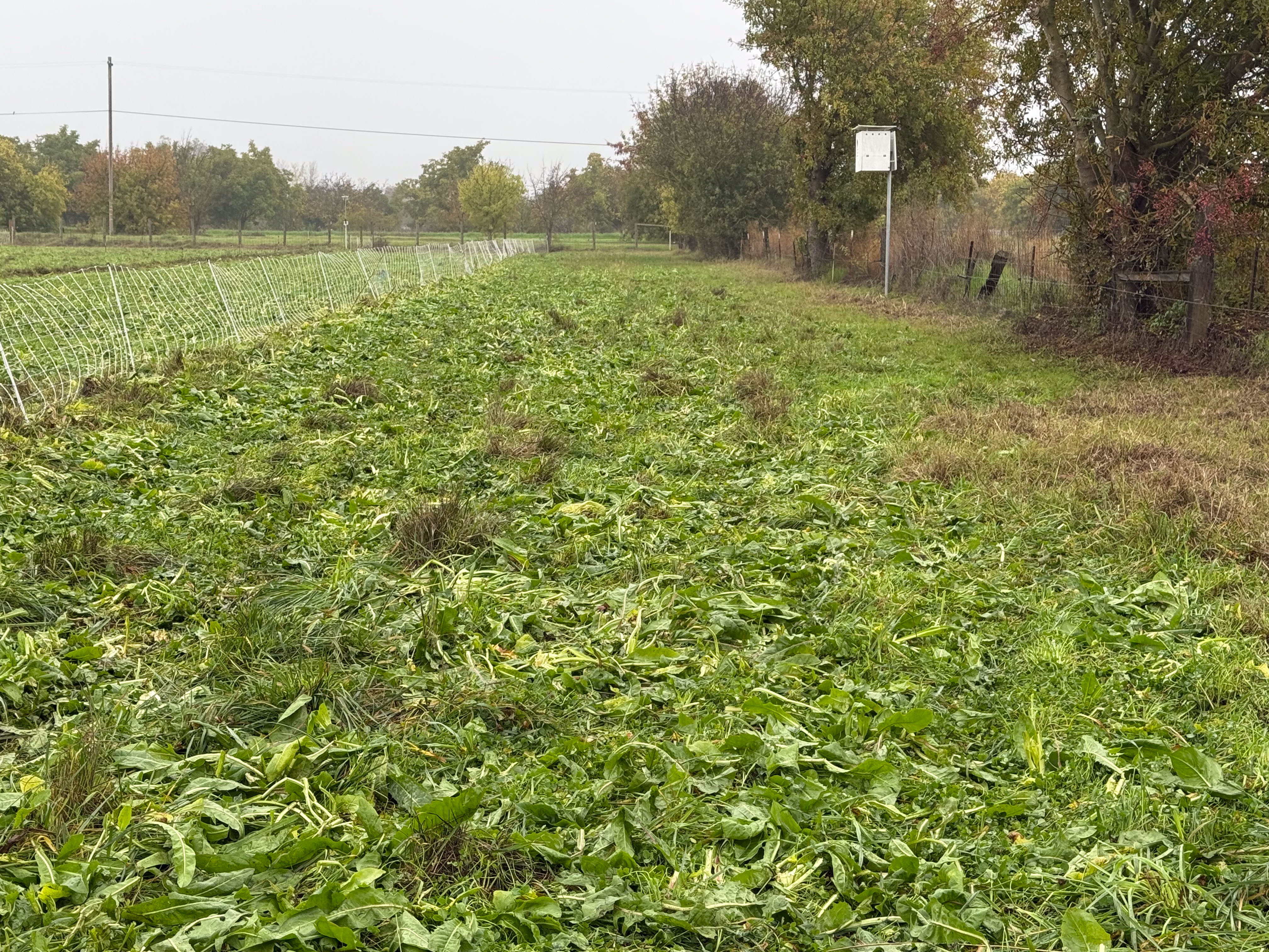
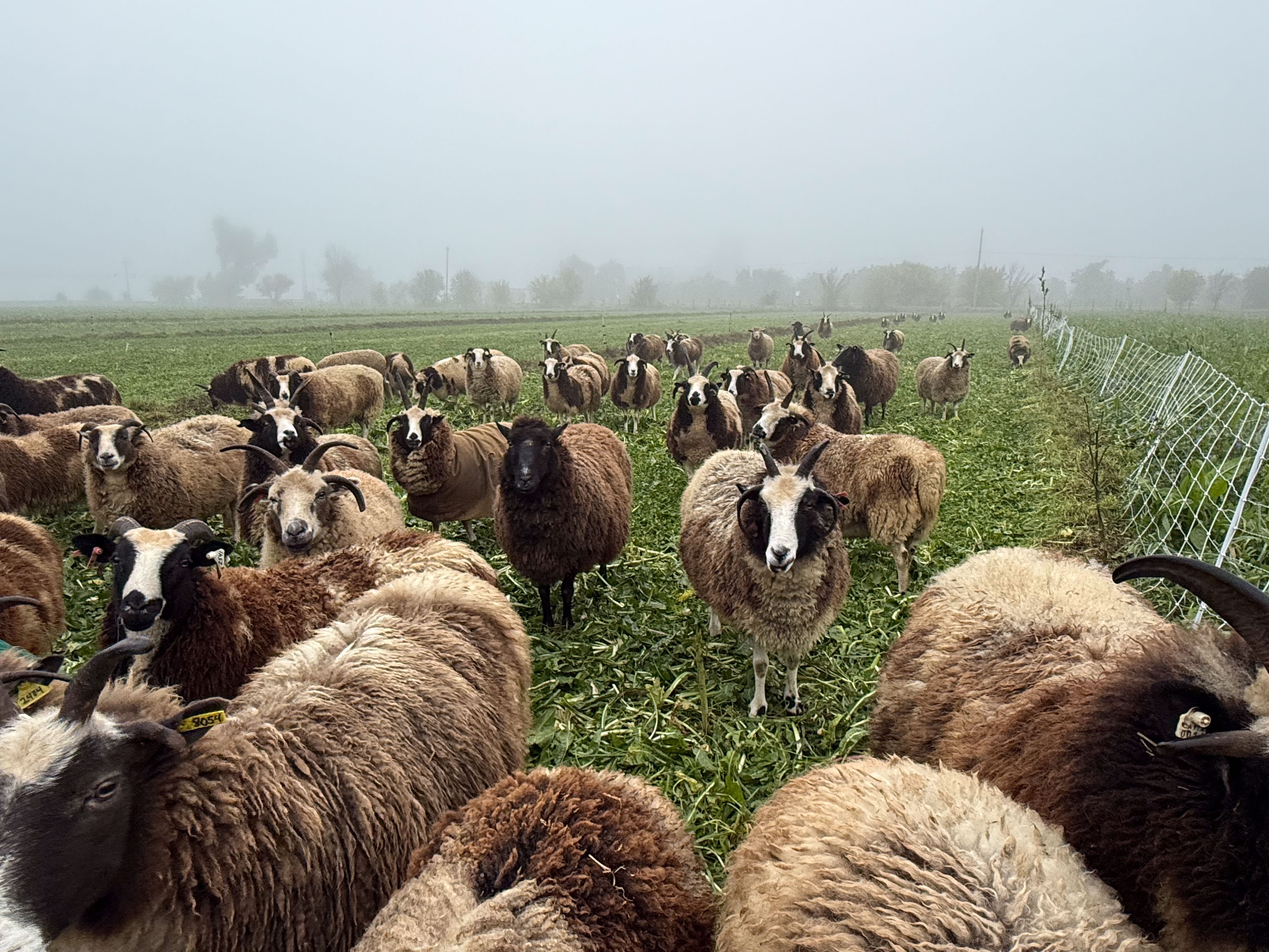
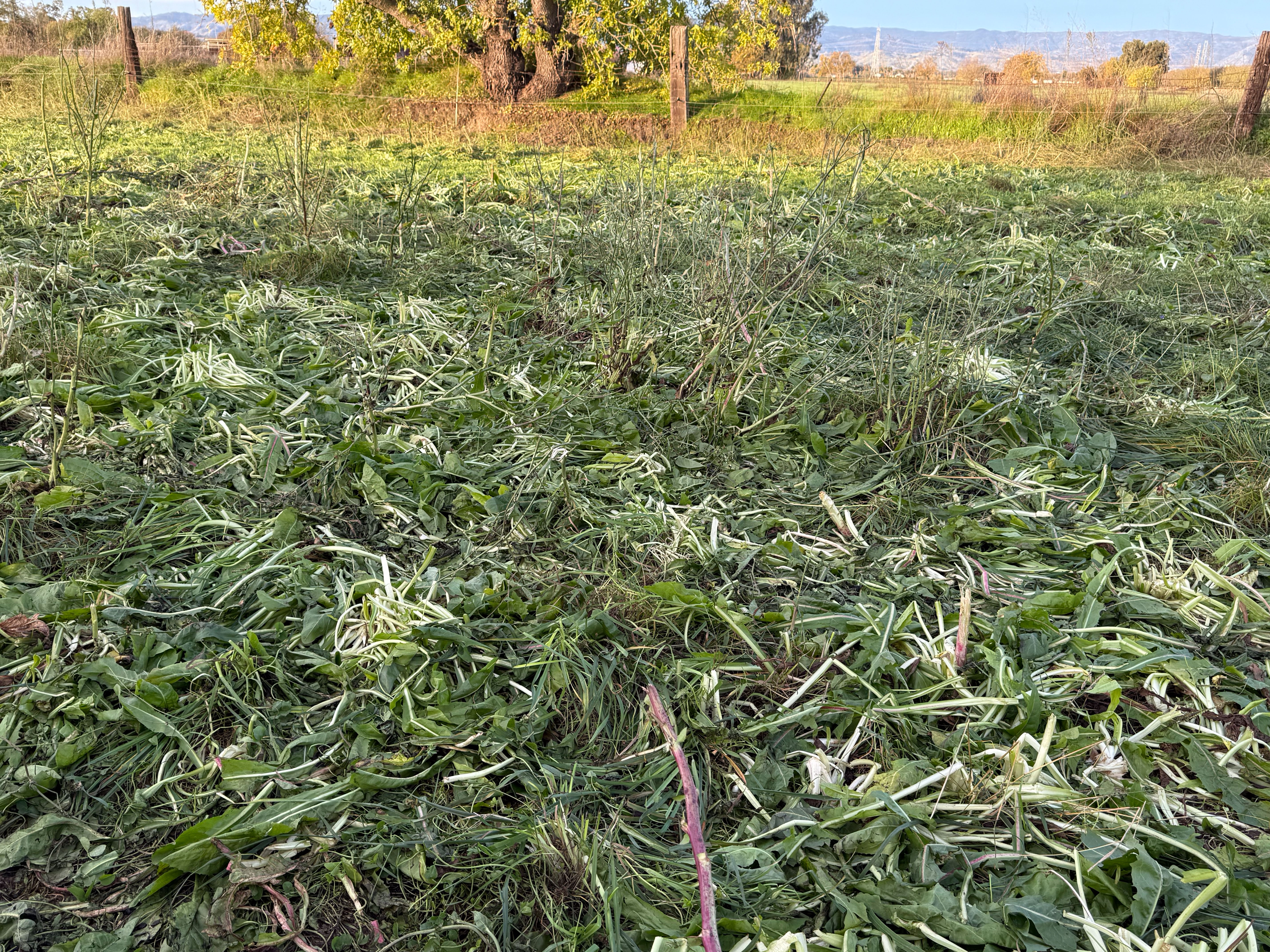
This is Paddock #1 (west property line) after two days of grazing.
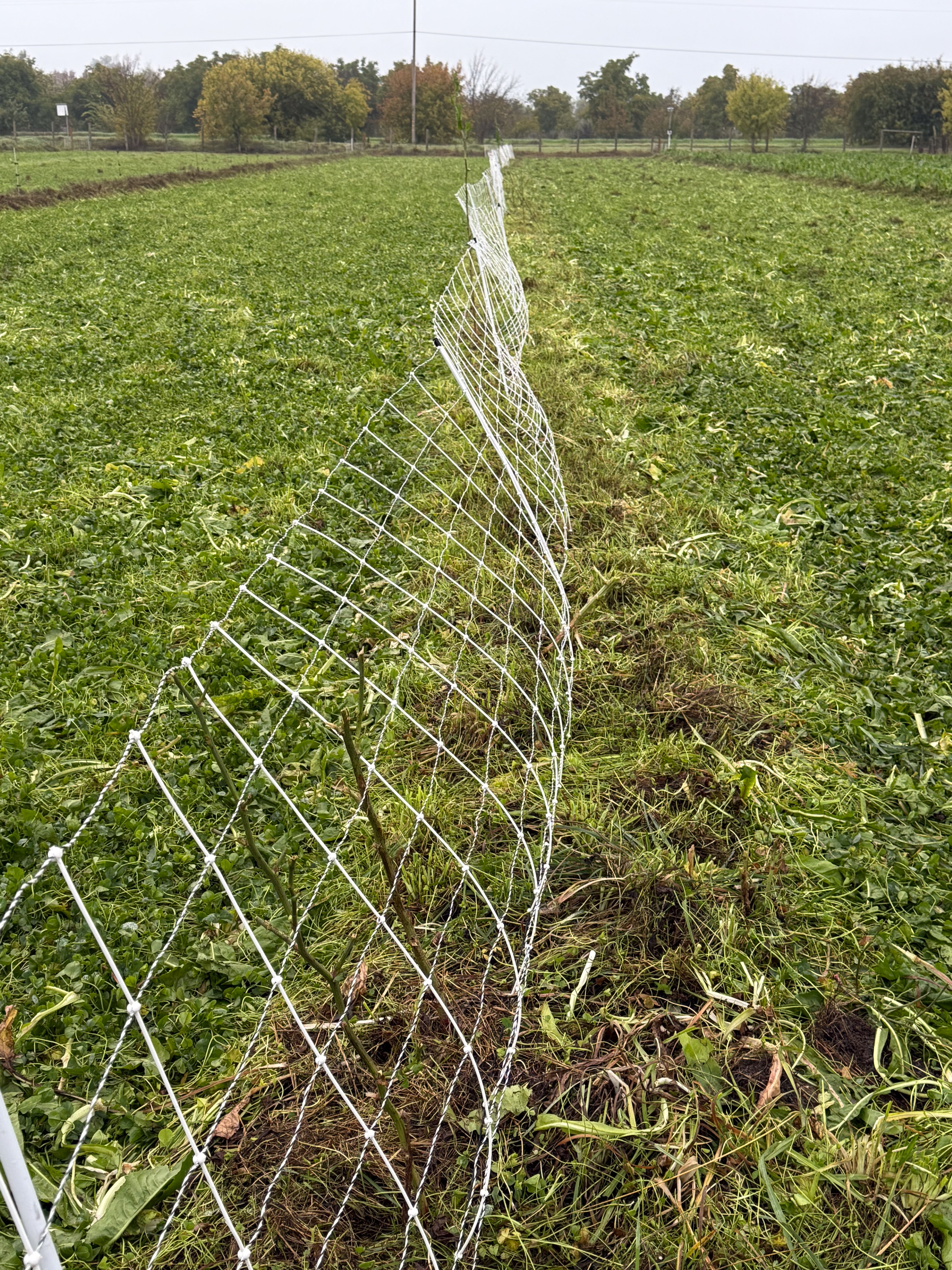
This is Paddock #1 North, just across that fence. Notice that my boot is under the bottom wire, but it’s pretty well buried in foliage. I walked along this stretch of fence to clear that bottom wire.

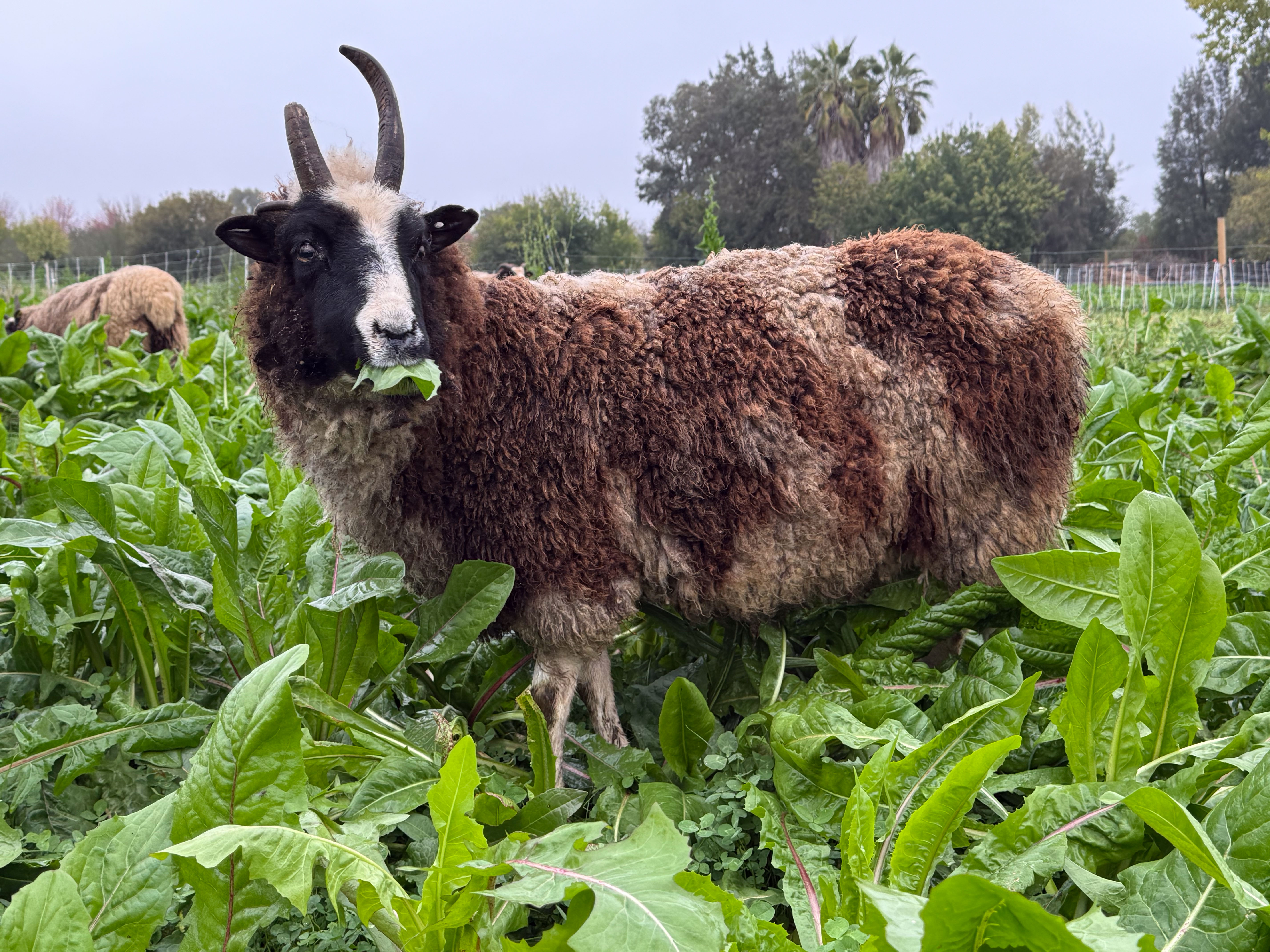
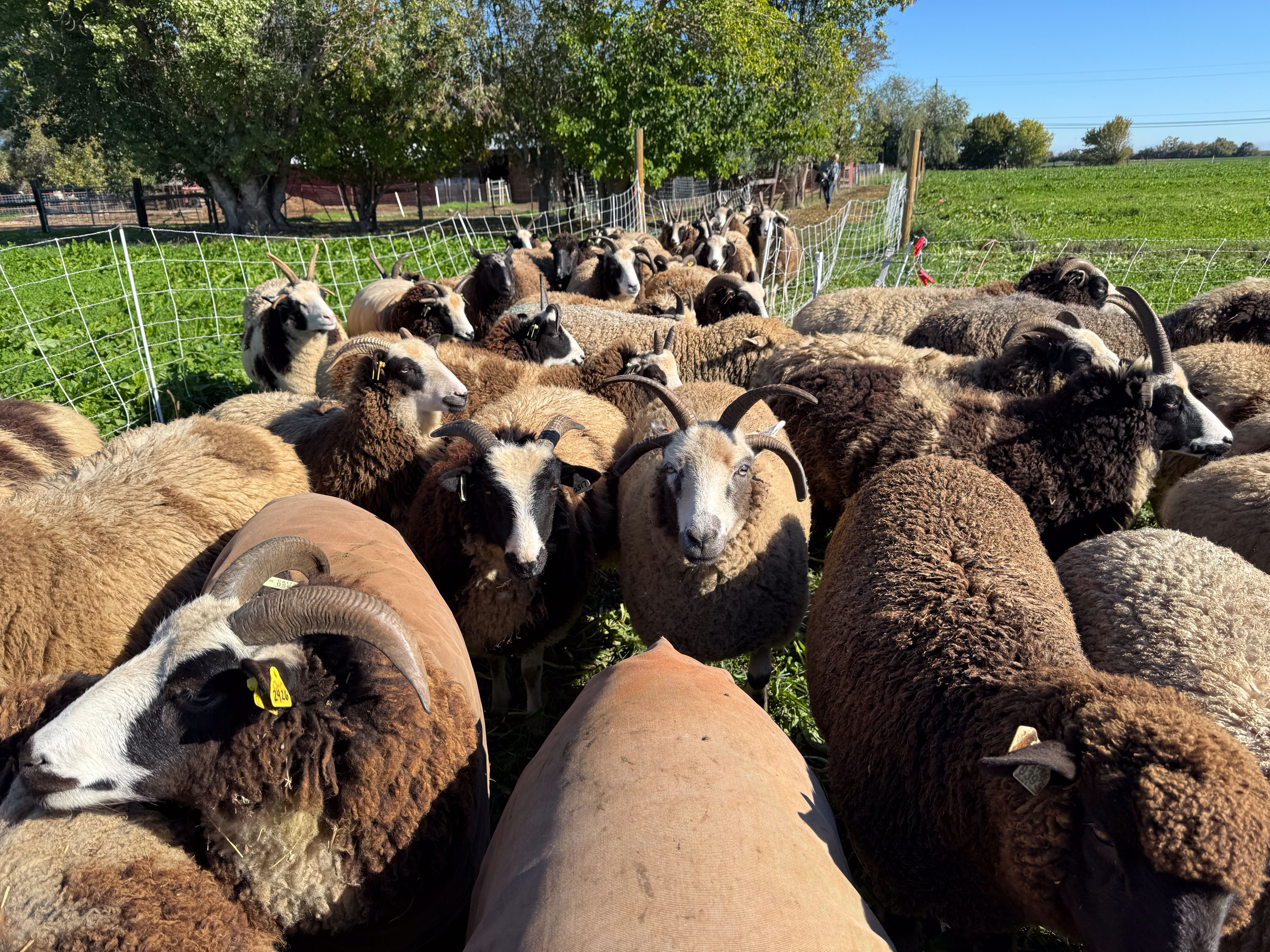
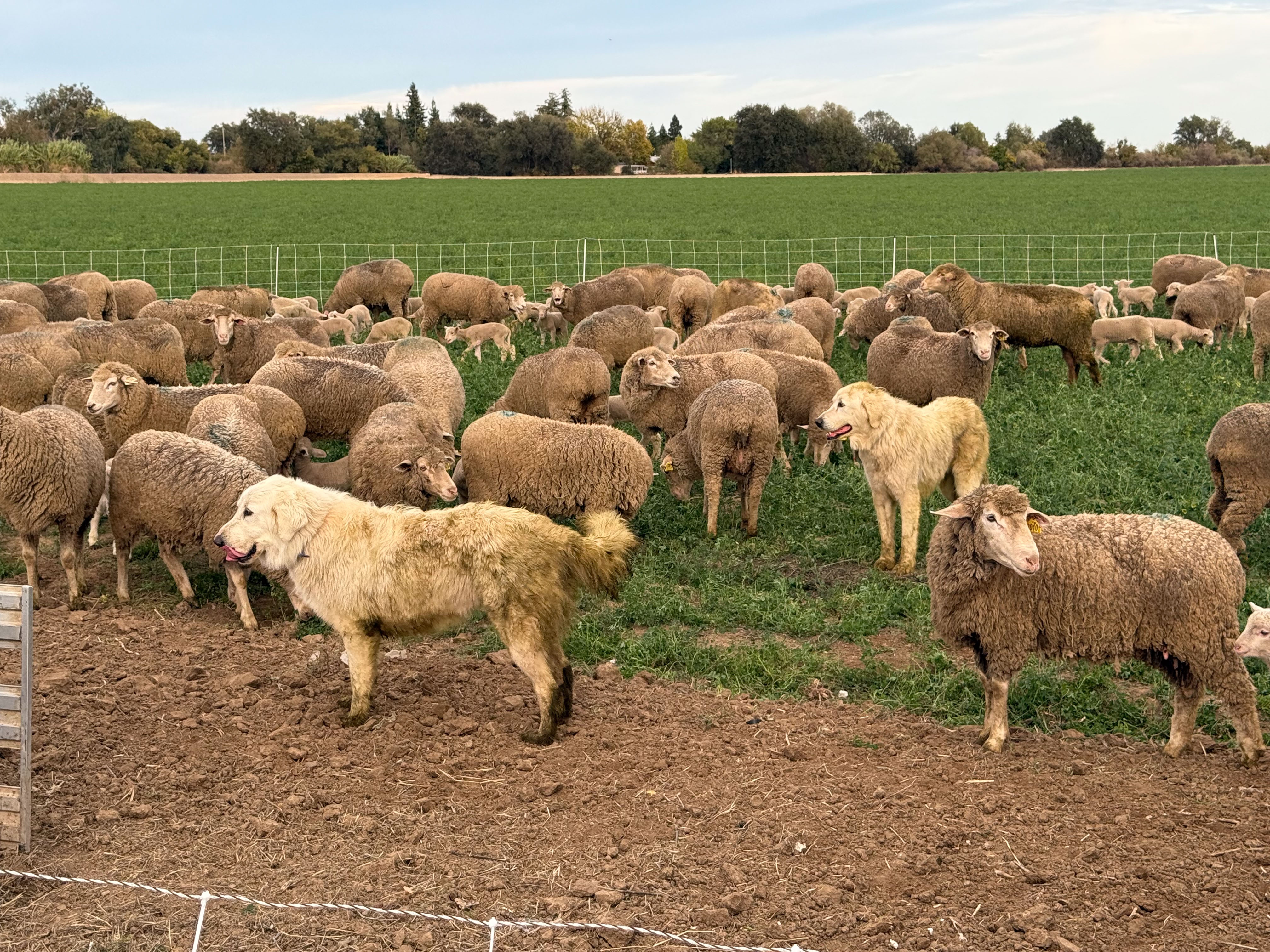
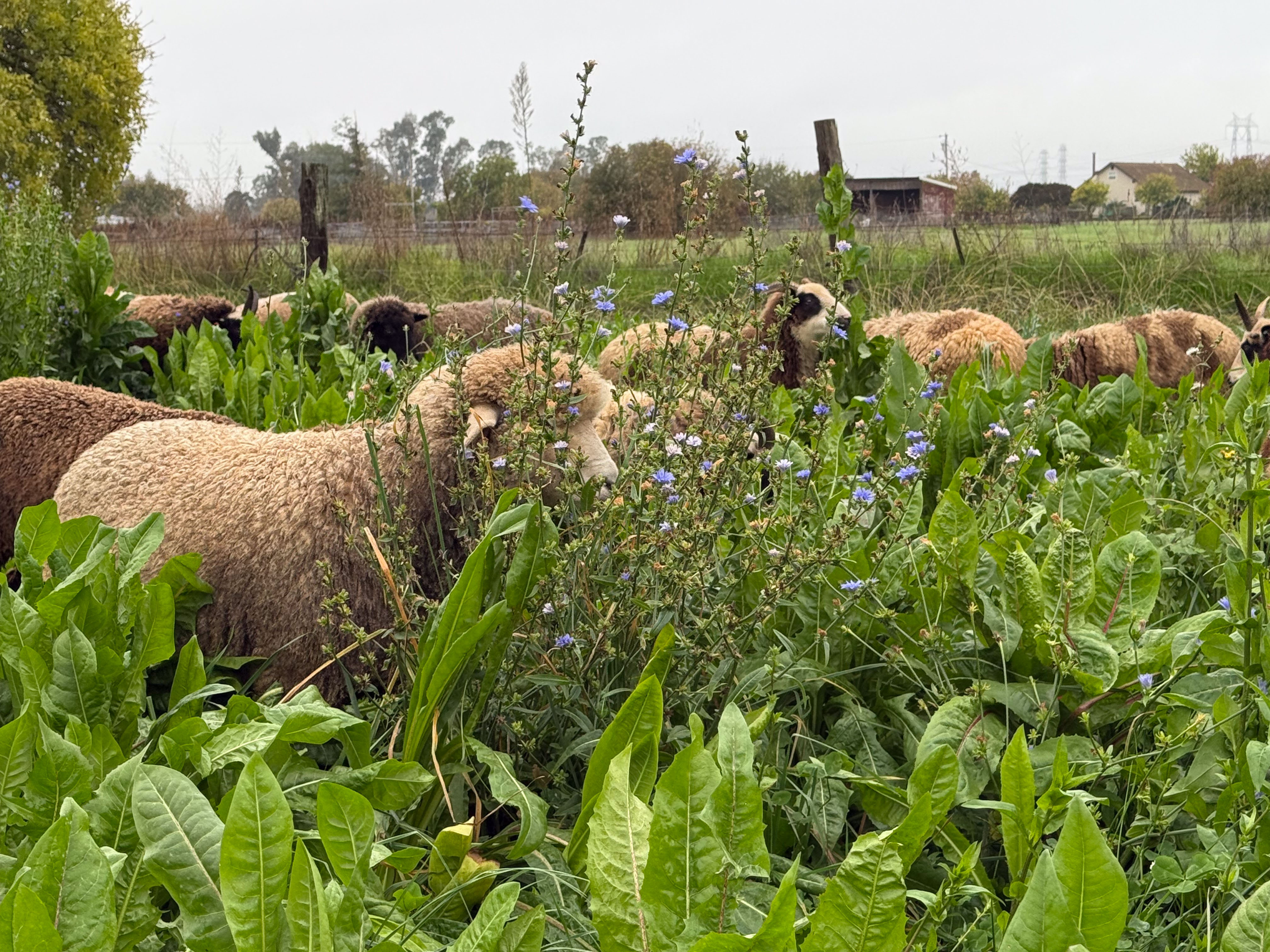
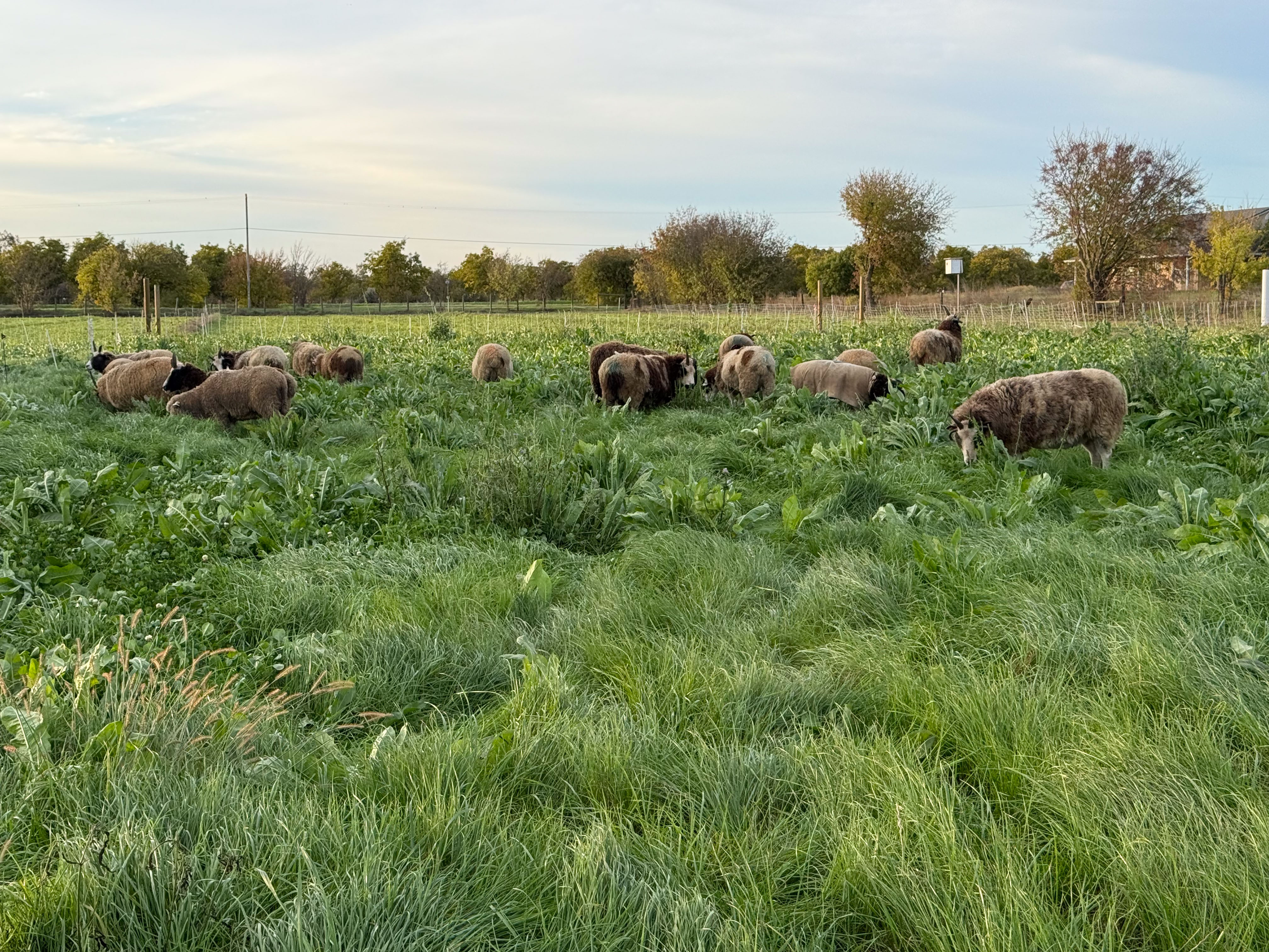
Happy sheep.

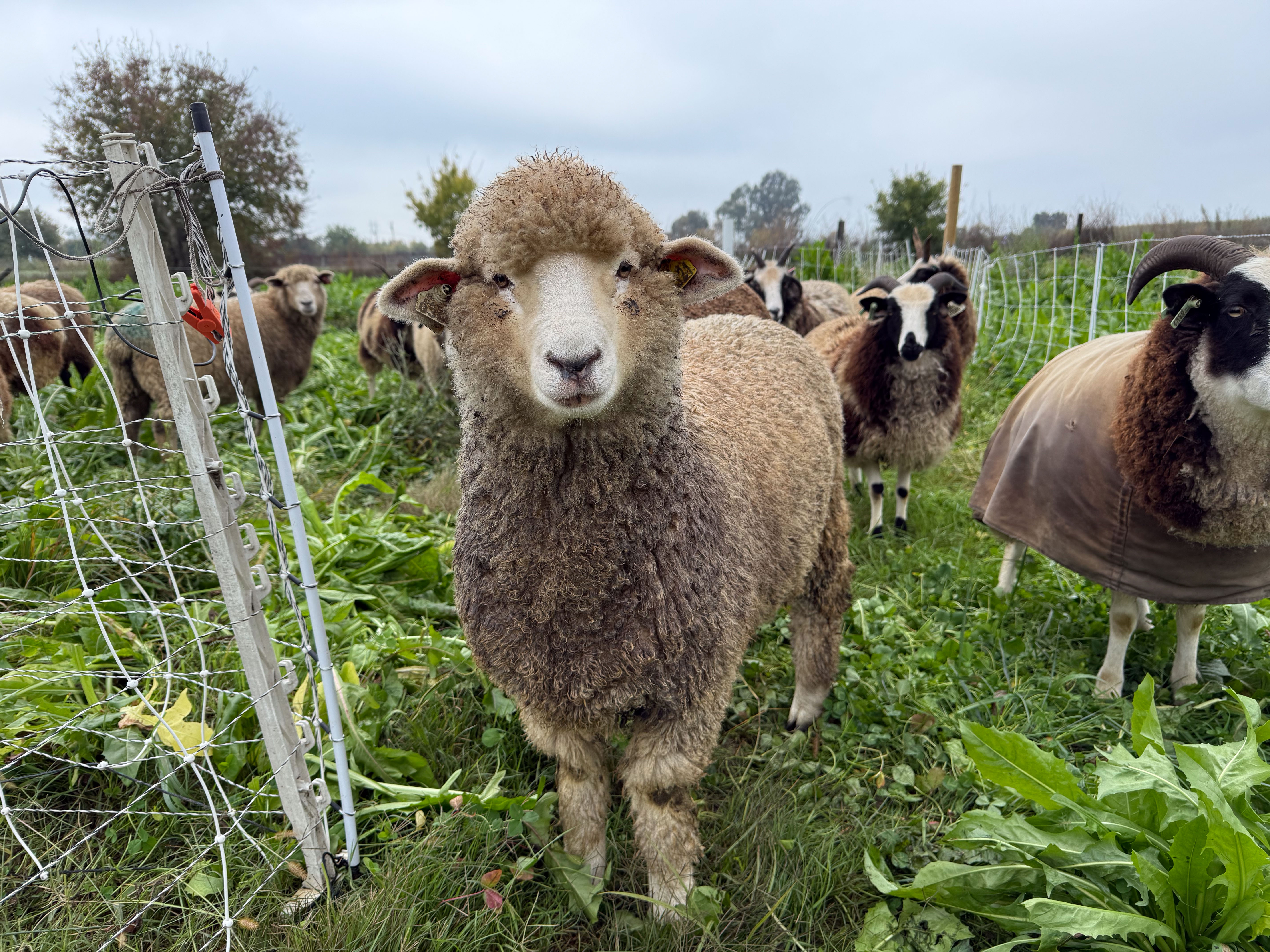
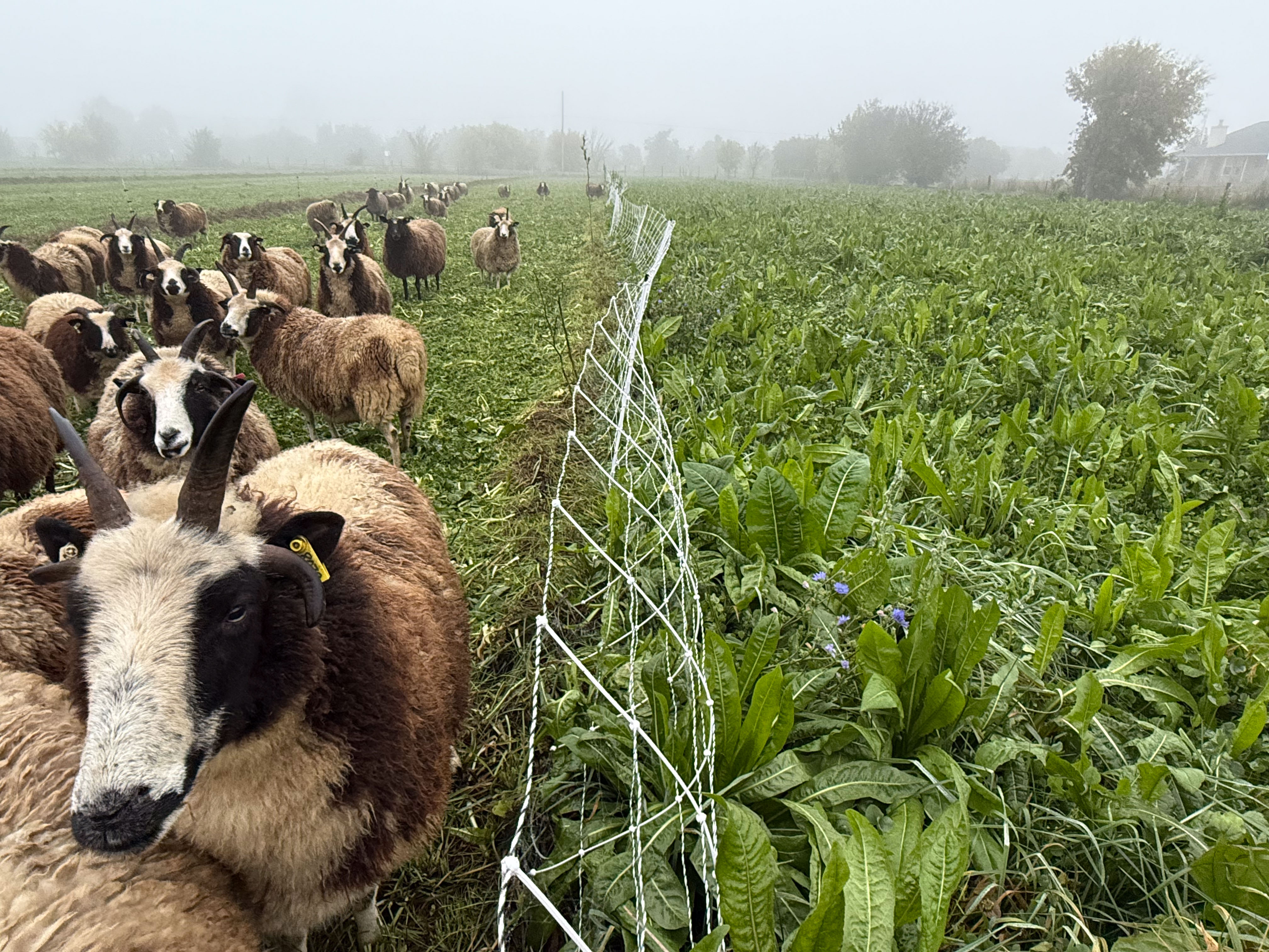
More happy sheep. The last time we grazed this paddock was three months ago on September 1.
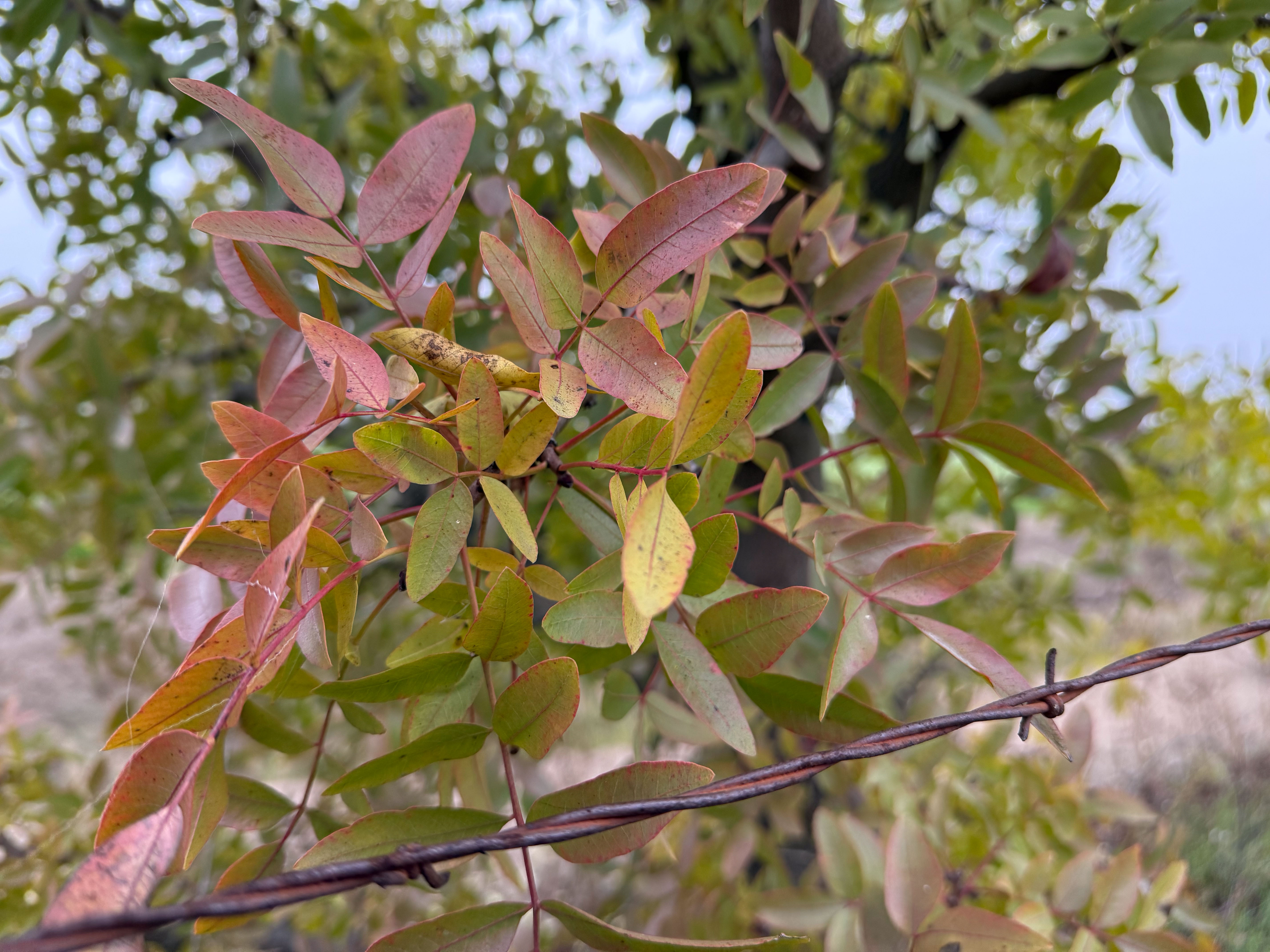
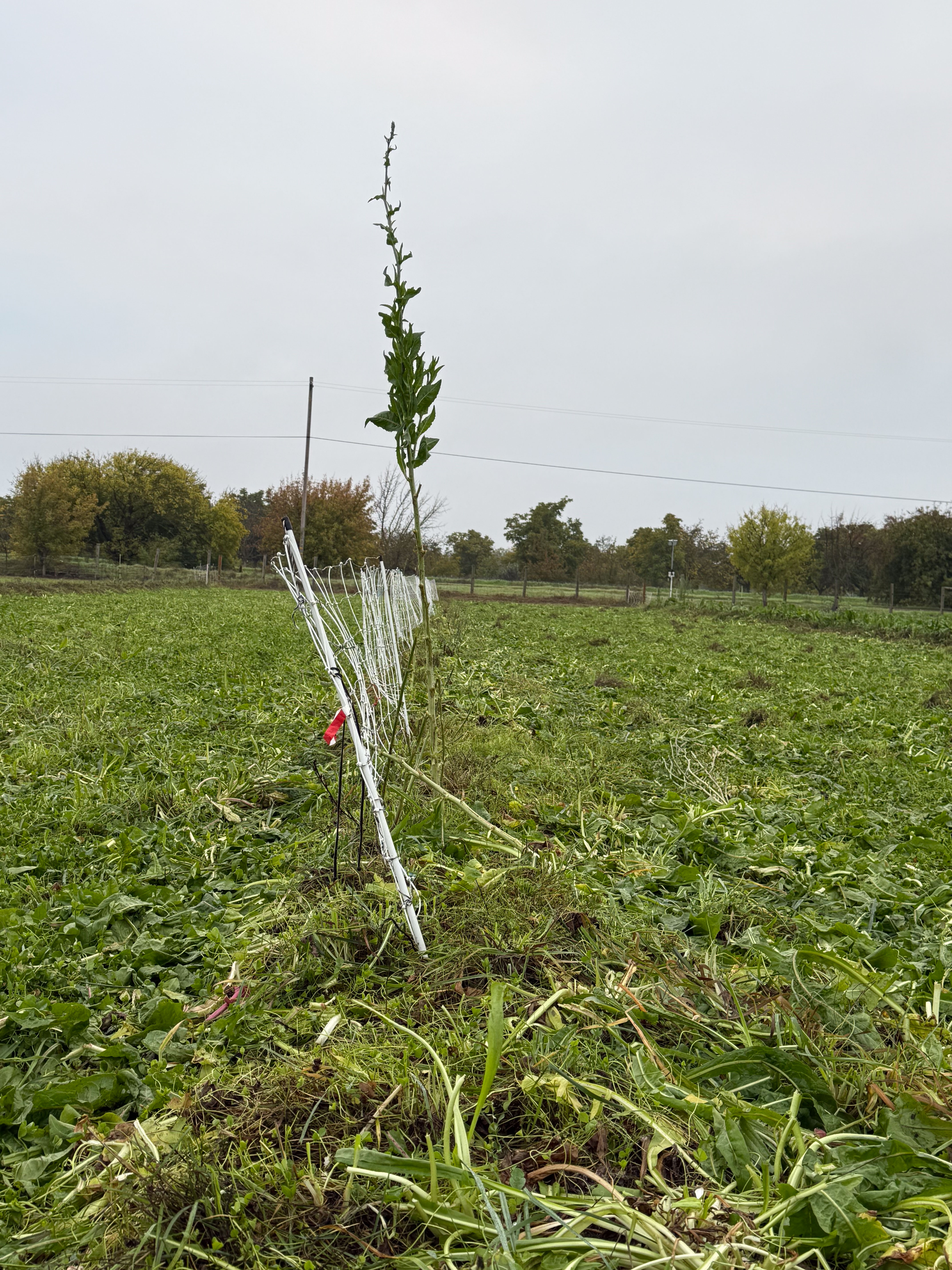
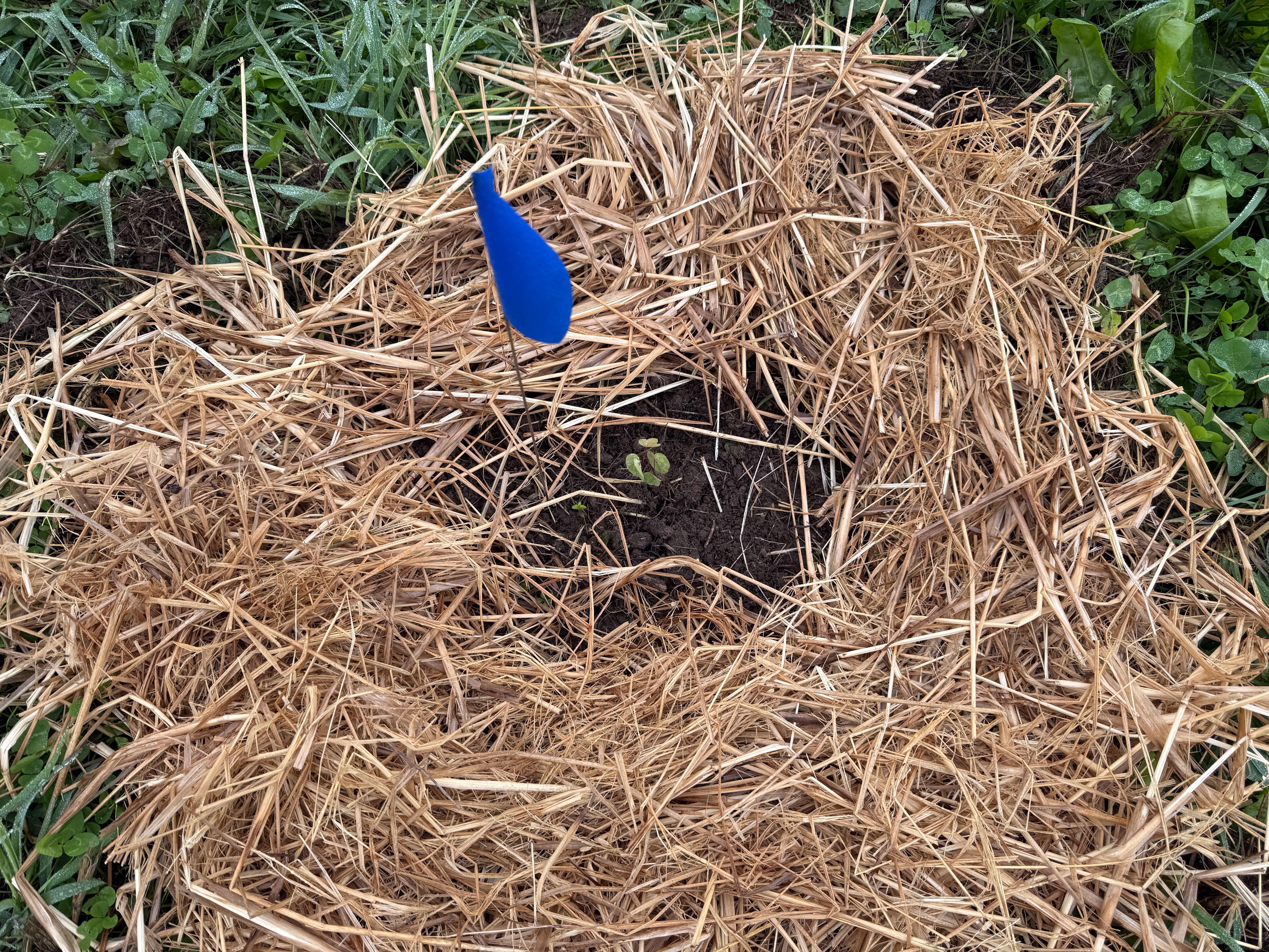
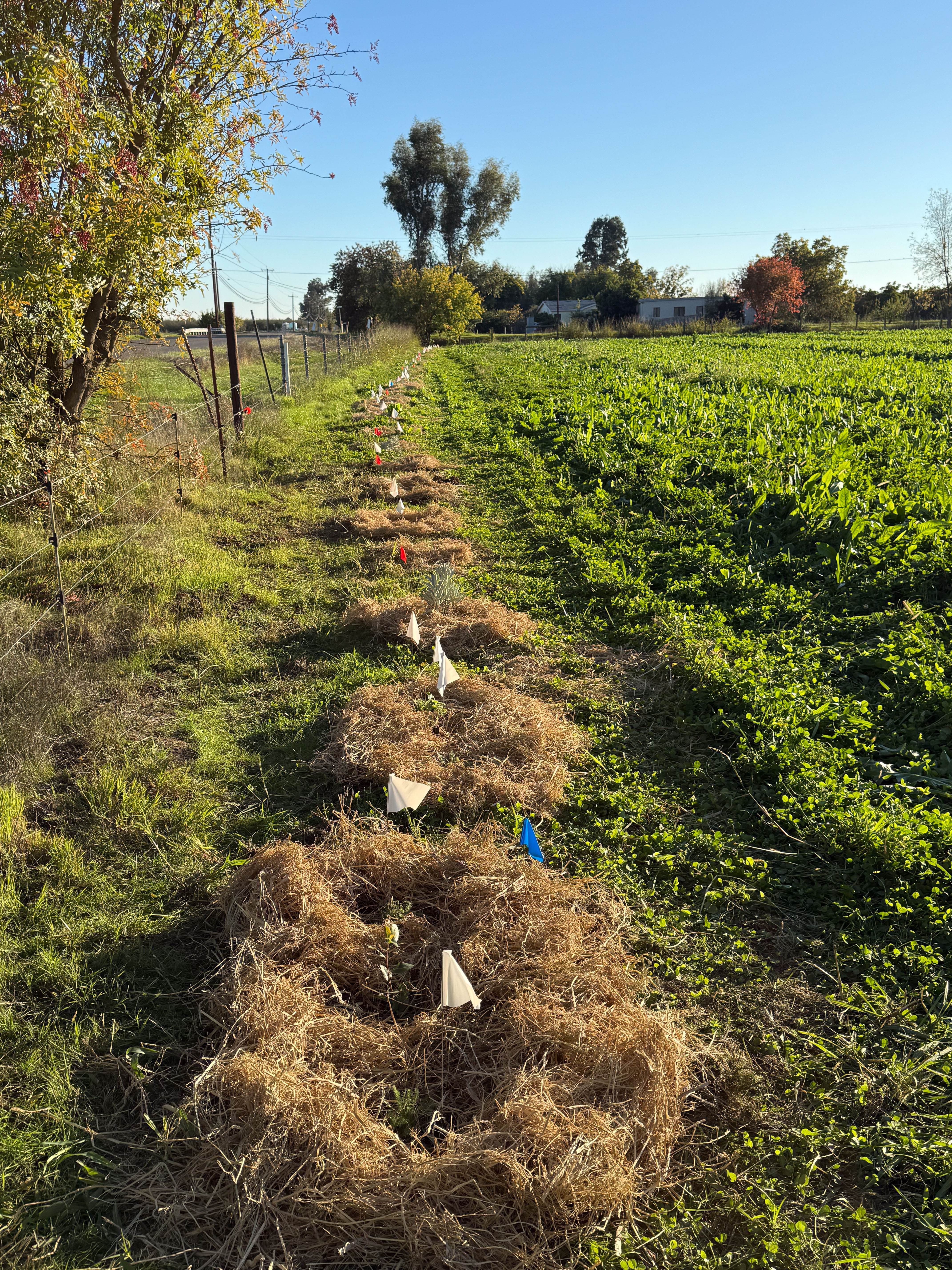
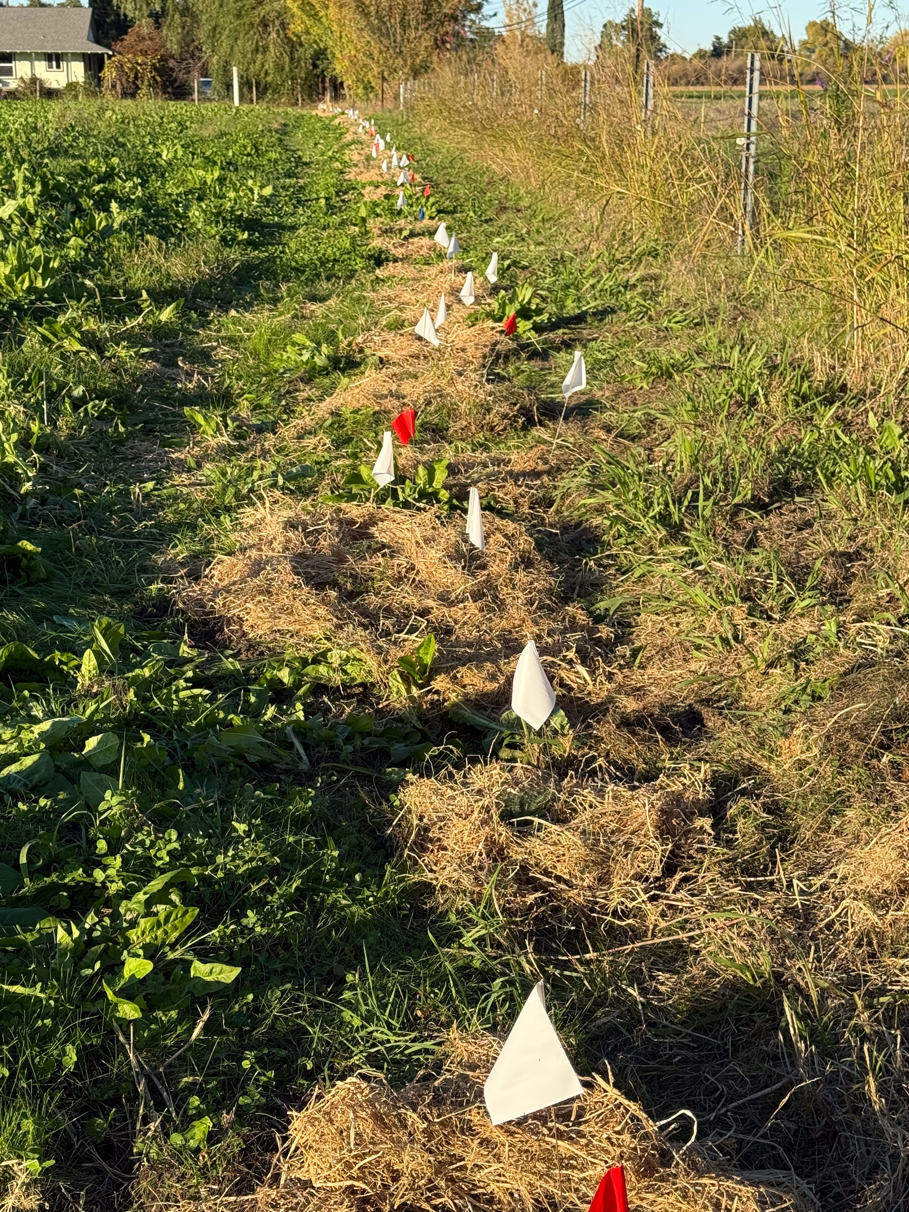
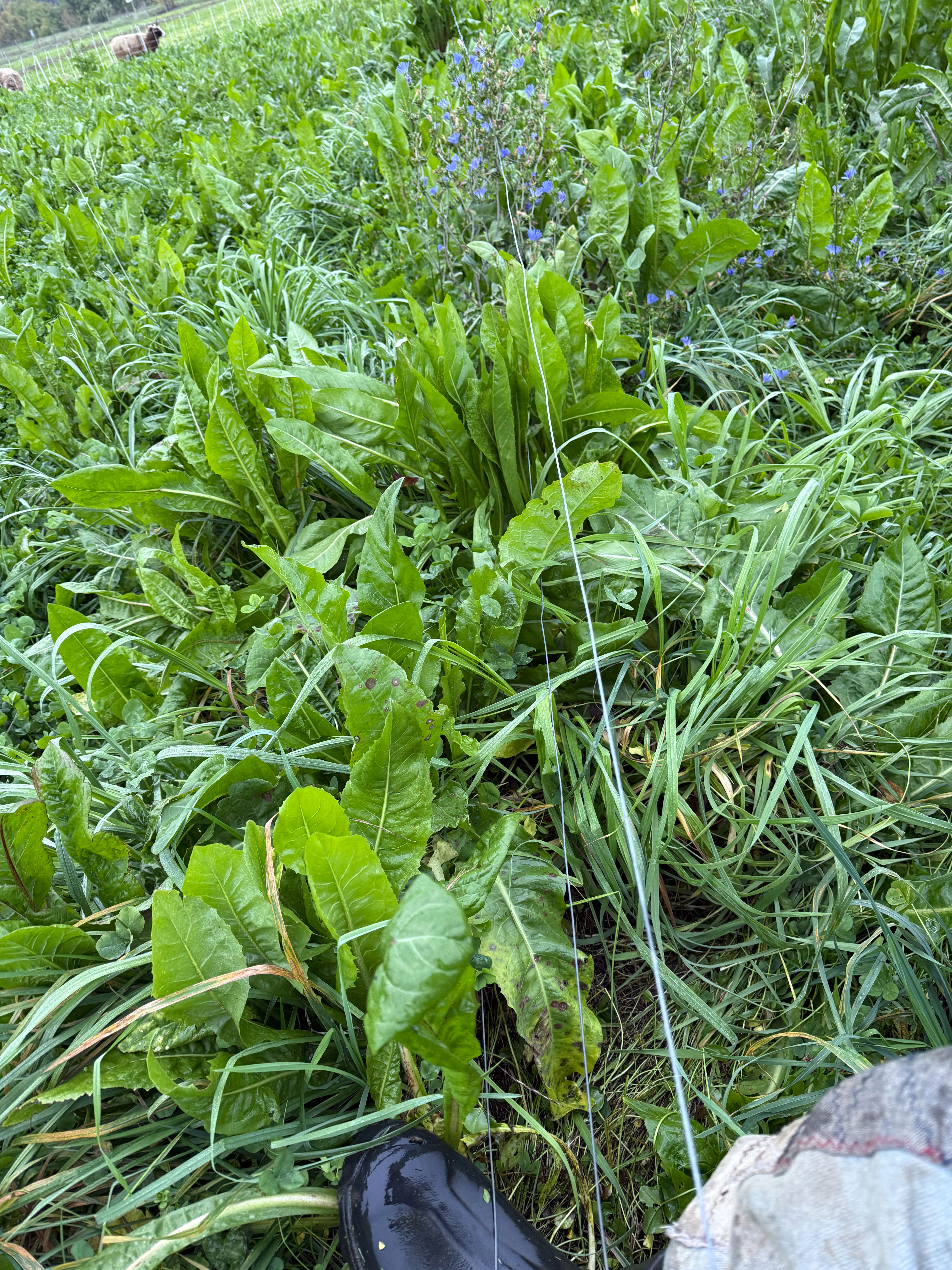
The big leafy plant is chicory and so is the one with blue flowers. It took me a long time to accept that they are the same plant.
After looking it up online I found:
“Forage Chicory: Perennial broadleaf. Up to 18” (flower stalks up to 6′). Tap-rooted broadleaf perennial with bright blue flowers suited to well-drained moderately acidic soils. As annual or perennial forage: well-managed stands may persist 5 years or longer, but also valuable in annual stands for pasture or green chop. Very high digestibility and protein levels up to 50% higher than alfalfa. Digestibility is reduced if plants are allowed to bolt, but the flowers are very attractive! Research shows reduced parasite loads in animals fed or pastured on chicory. “
This photo is after grazing Paddock 1N for three days. A lot is trampled, but they were still eating out here this morning.

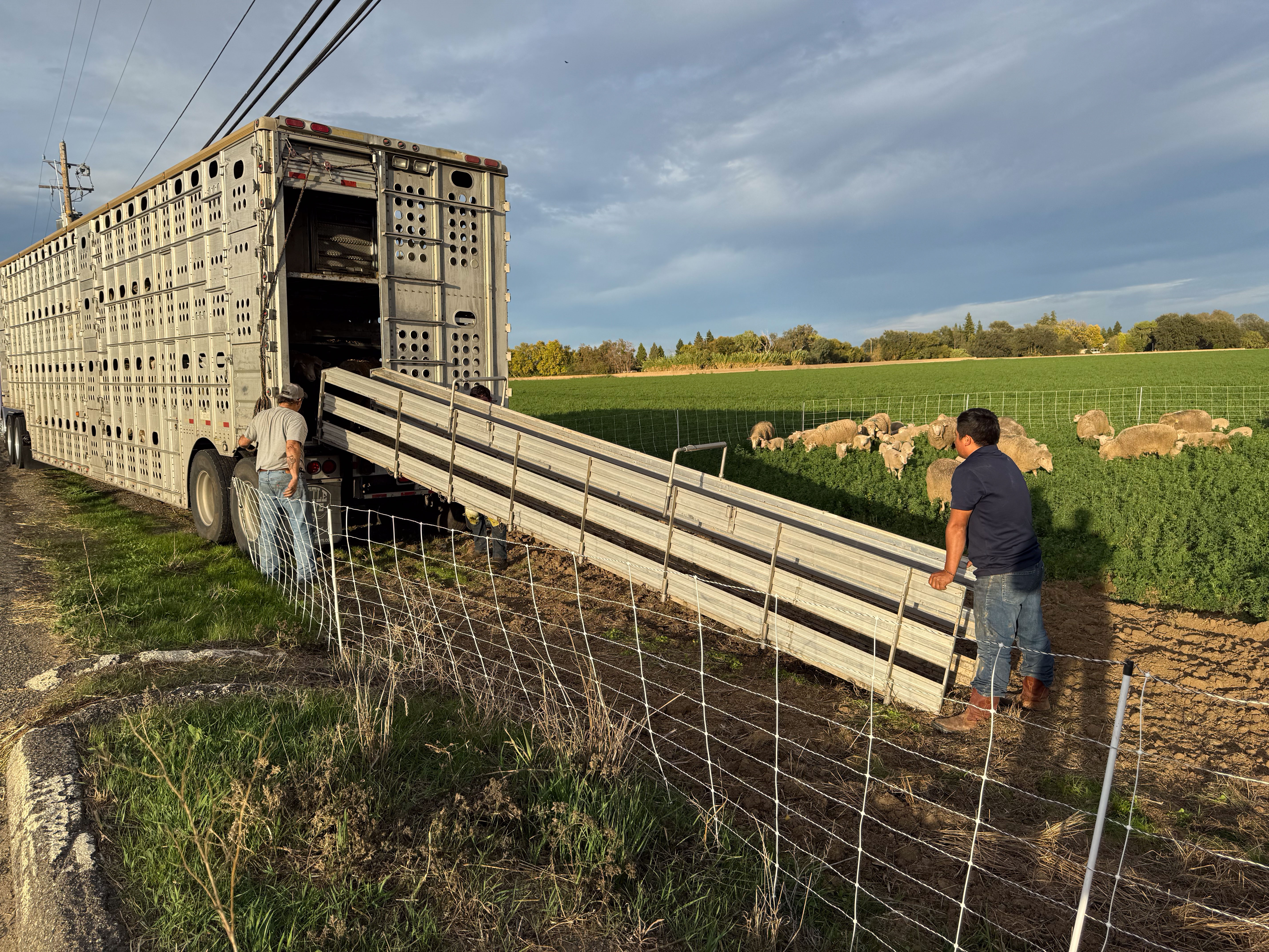
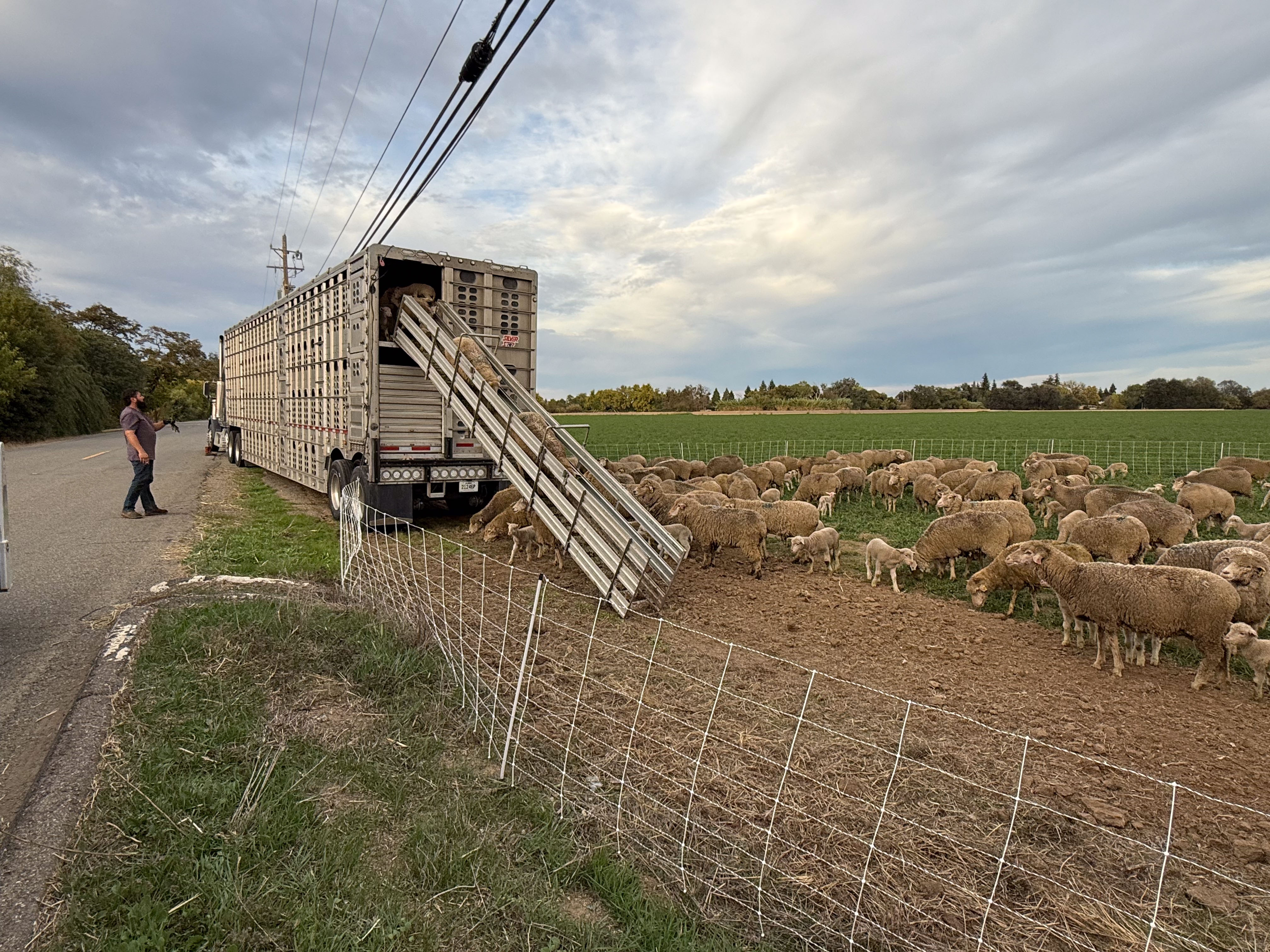
I opened the fence to let them into the next paddock. I have video and I just spent time on iMovie after not using it for a long time. Let’s see if I can share this on YouTube. Here is the link.

Back to regular blogging. More happy sheep.
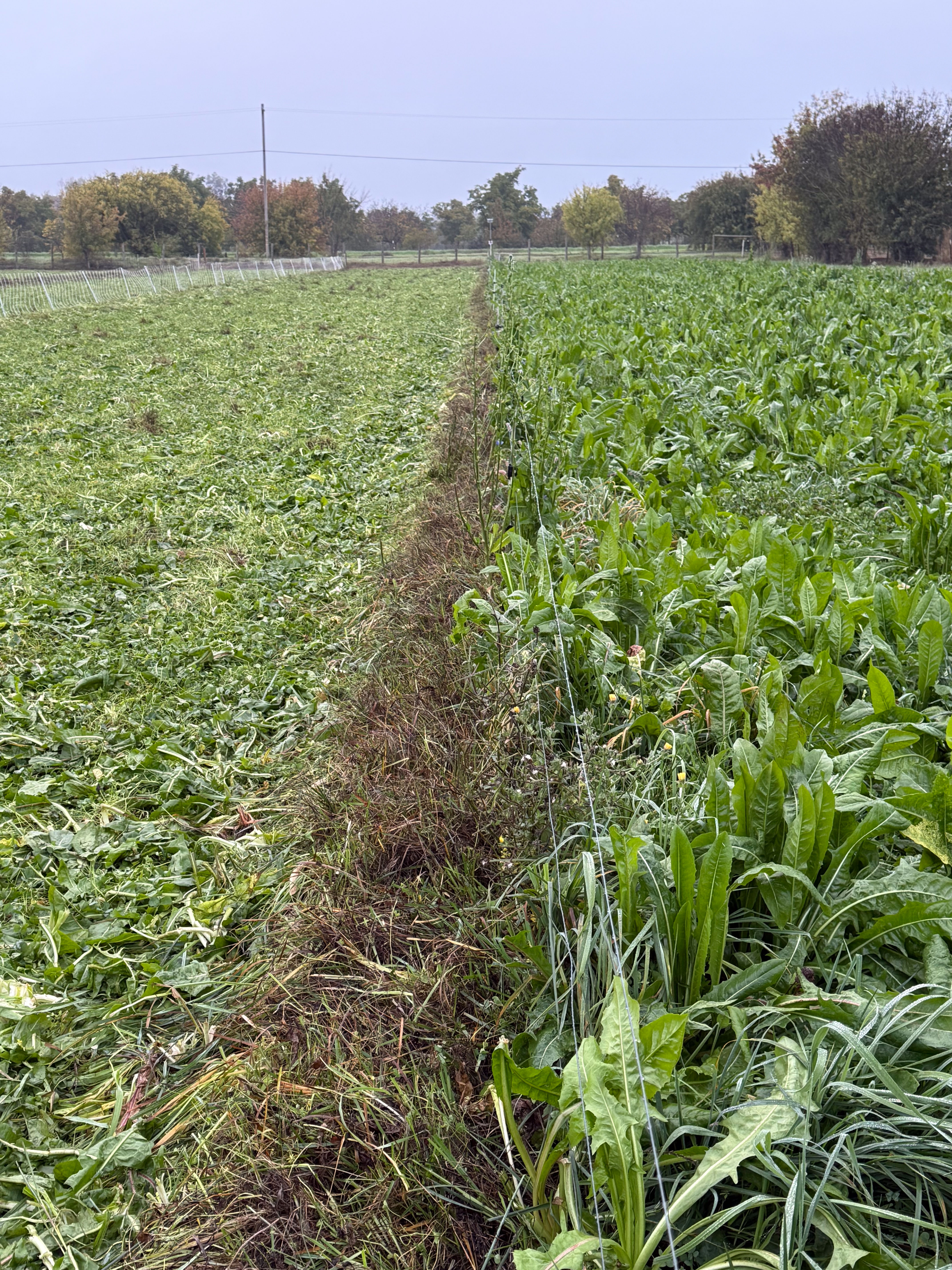
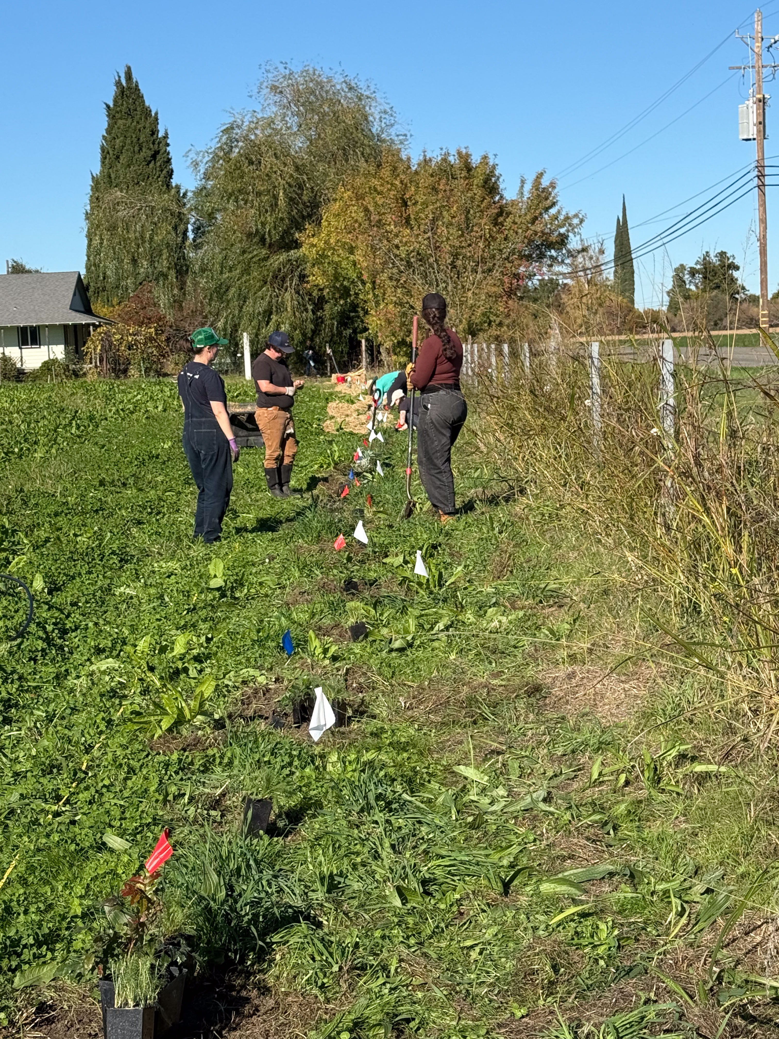
This view is interesting to me because this is the area where ryegrass completely overwhelmed the clover last spring. This post is one of several I wrote about that situation. If you pursue the Grazing posts you’ll see the whole story. This is good feed here, but it is patchy, more so than in the rest of the paddocks.
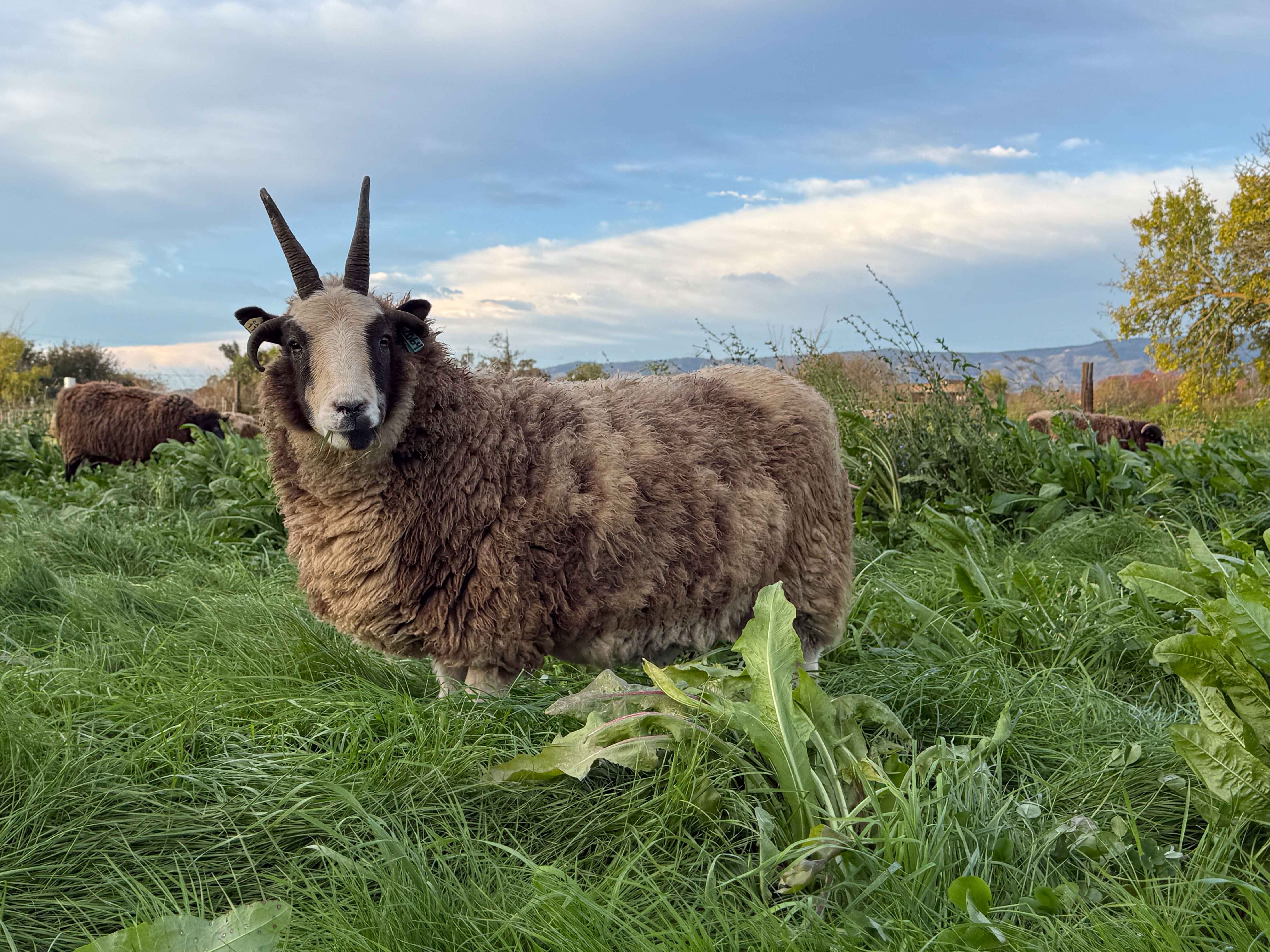
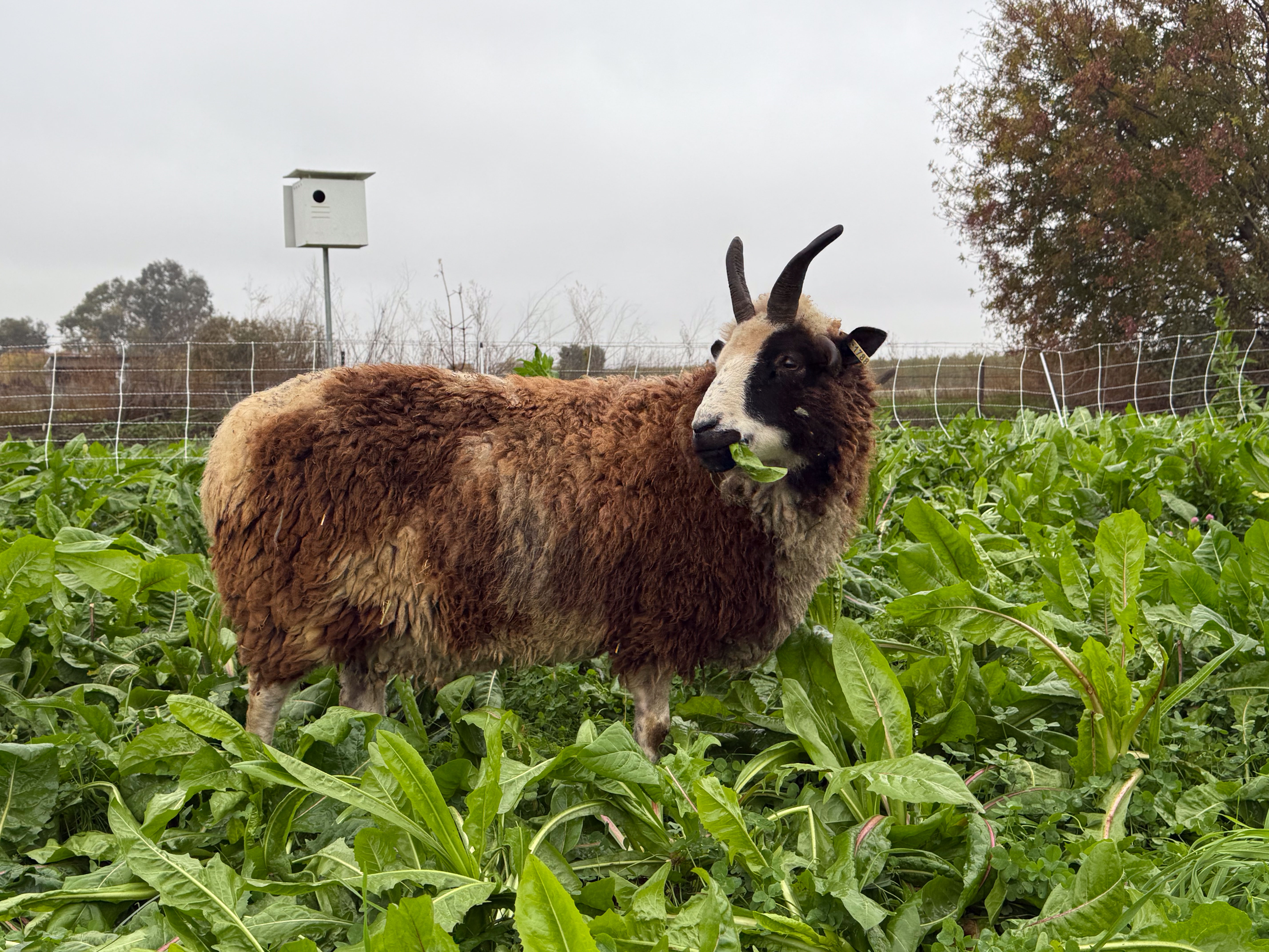
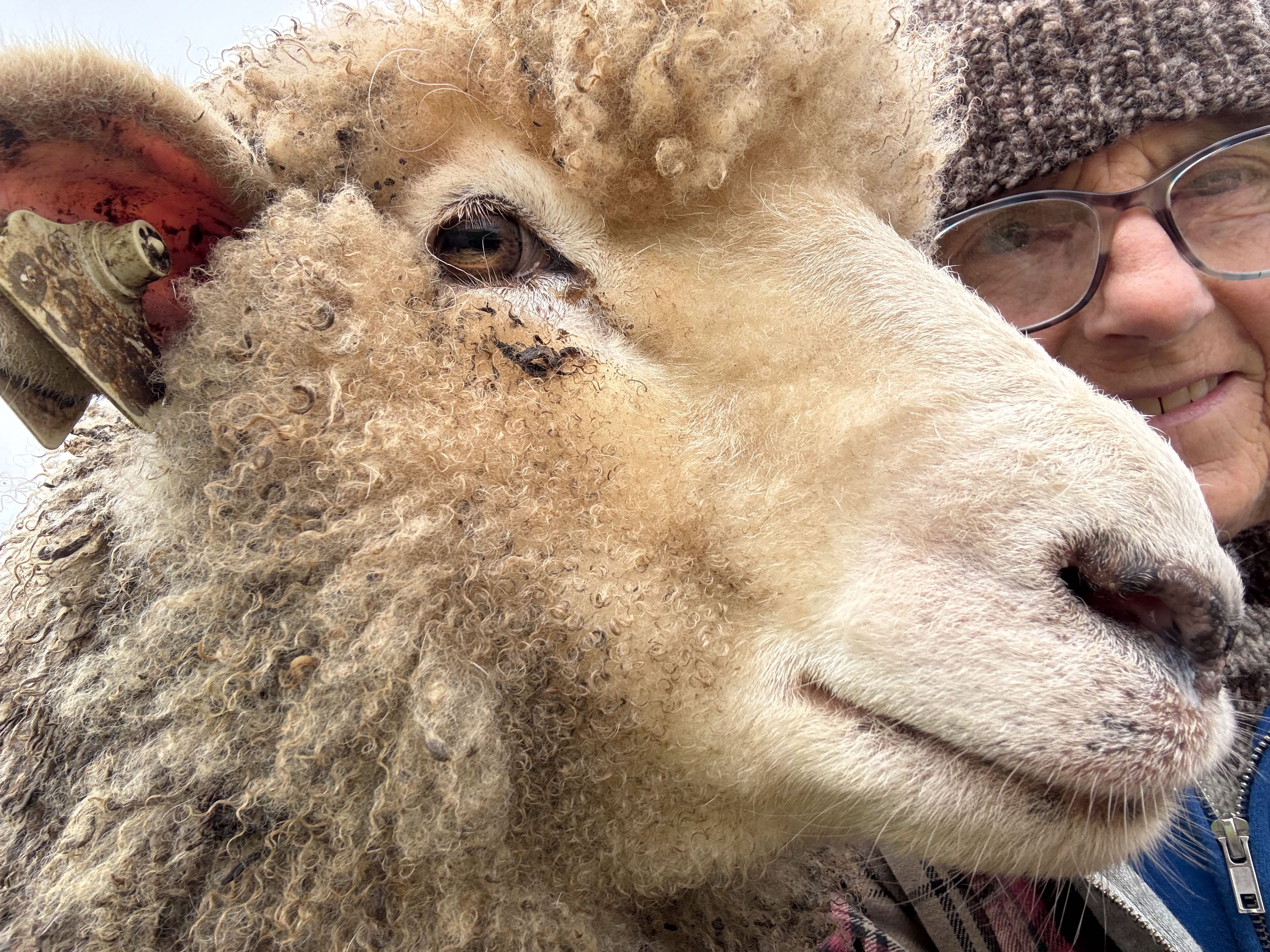
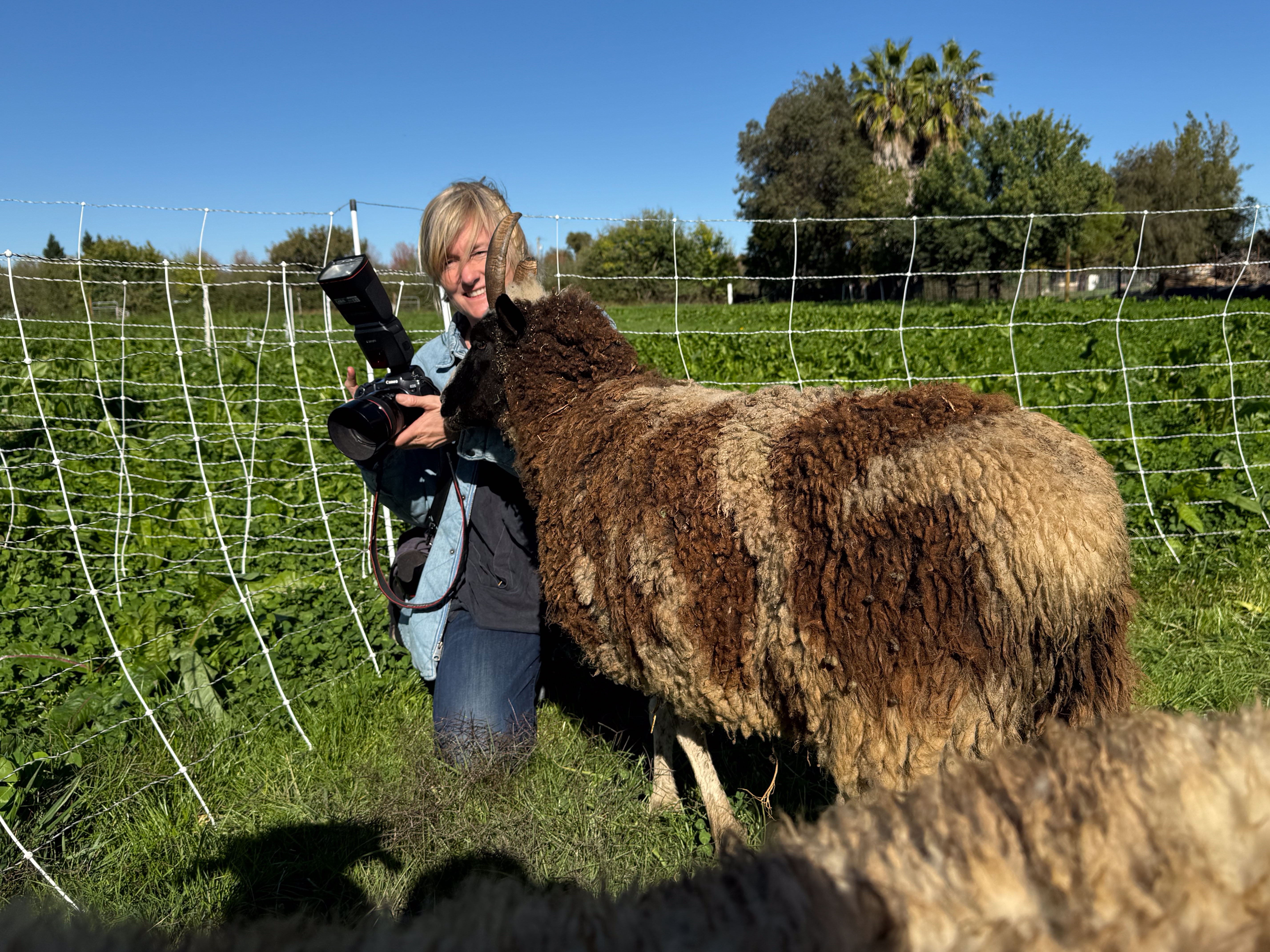
This ewe, Meridian Pecan, isn’t bothered by any of those details. She’s happy to have fresh green feed.