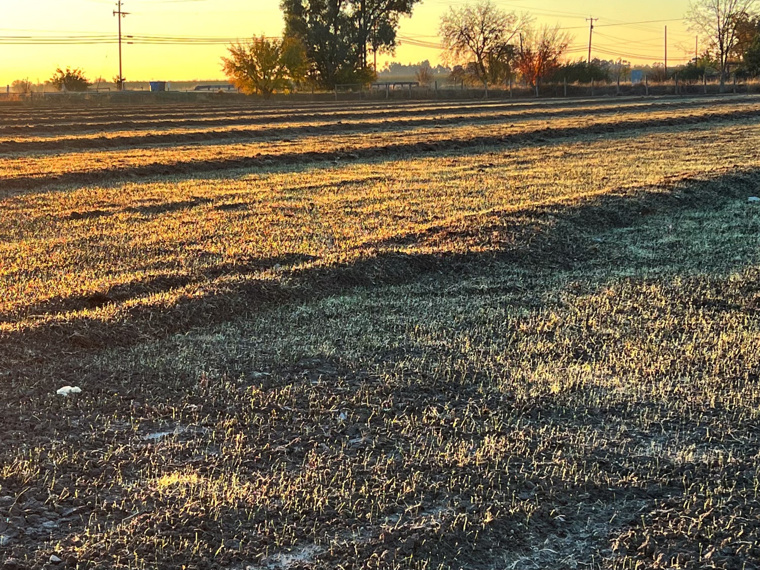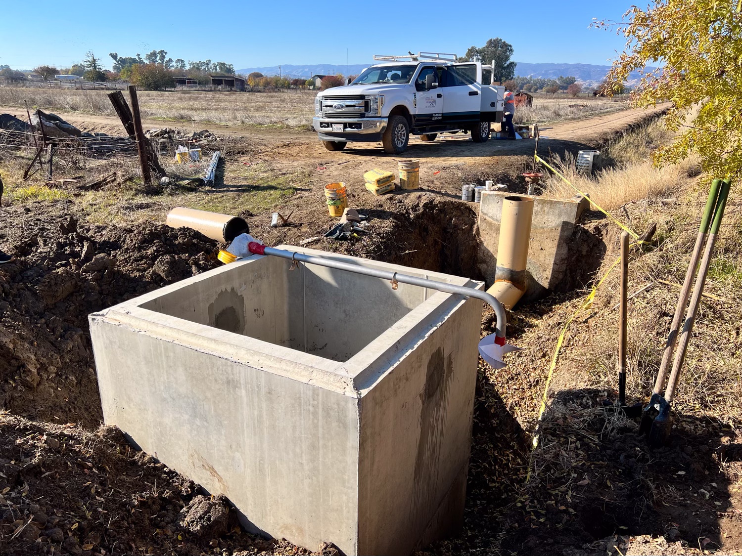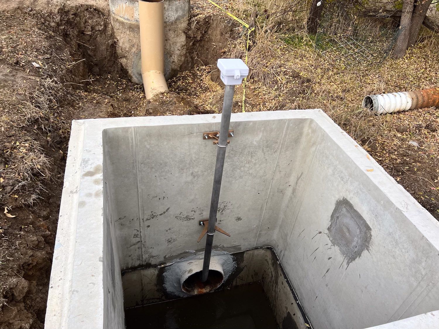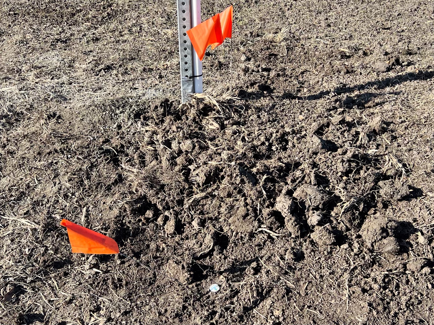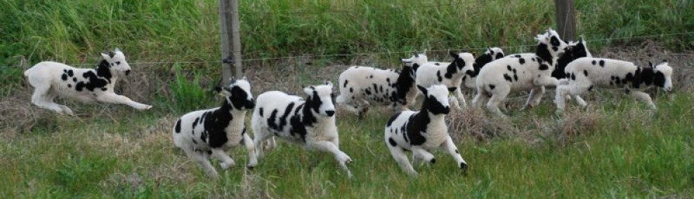
In the Sacramento Valley it rains in the winter (hopefully) and is dry in the summer. Without irrigation the landscape would be brown. So irrigation is a necessary task throughout the summer. March was so dry this year that the irrigation district filled the canals and started the season earlier than usual. We irrigated March 20. There was some rain in April, but at this point in mid-May we were overdue for getting water on the field.
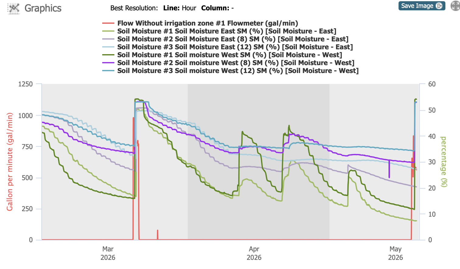
Part of the pasture renovation project (thanks to NRCS–search for Pasture Renovation here to see all the posts) was installation of two soil moisture sensors. This chart indicates measurements at 3 depths on a sensor in the south west (in bold colors) and one towards the east (lighter colors). They indicate soil moisture levels at 4″ (green), 8″ (purple) and 12″ (blue). The red line indicates flow through the irrigation system. All soil moisture levels were high after February precipitation, but you can see how the 4″ content drops fairly quickly and then responds to rain events. By this time in May it was very low and the 8″ readings were getting low as well.
The goal is to measure soil moisture in the root zone and use that to plan irrigation. We’re still learning to use it appropriately. If we irrigate too frequently we run the risk of running out of our water allotment by the end of the season, and who knows how long the dry season will last.
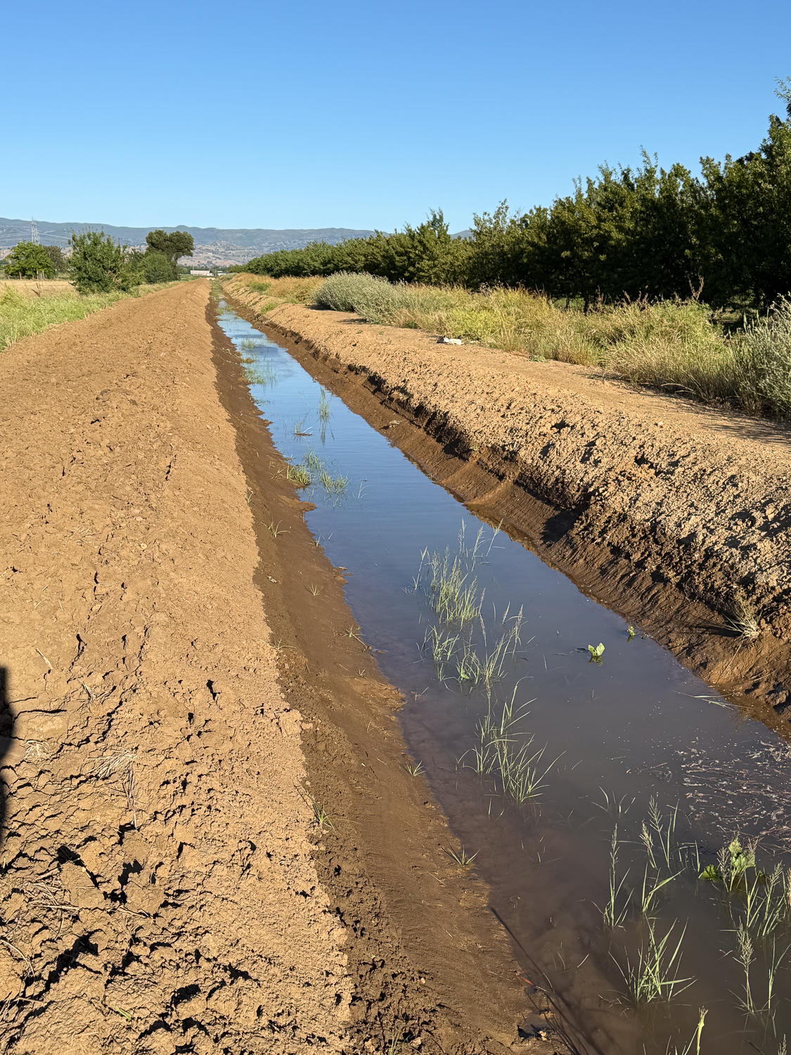
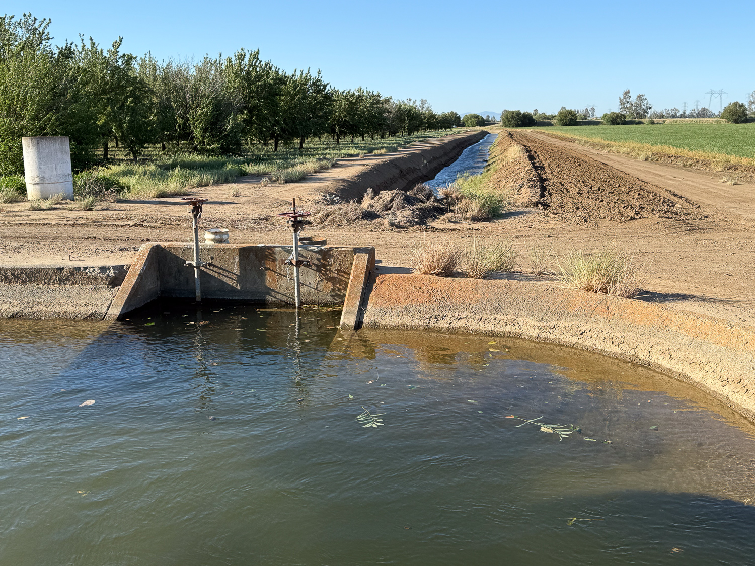
This photo is the view looking west from just beyond the corner of our property. The water in the canal is leftover discharge from irrigation further up.
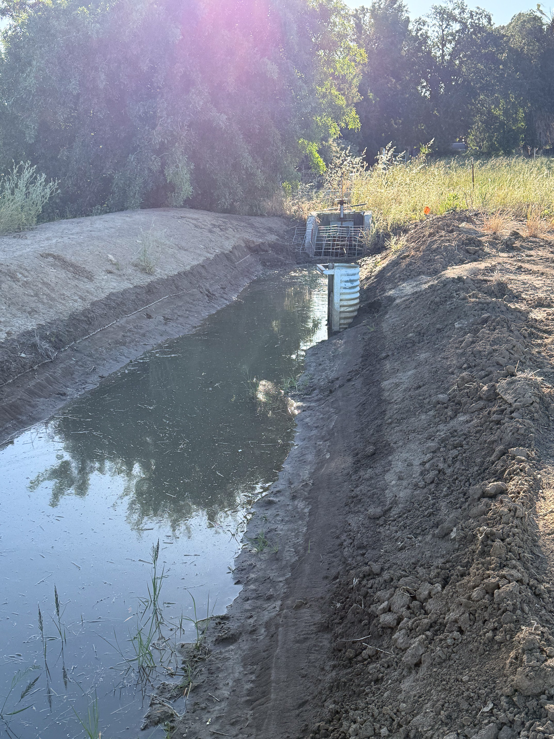
Turning around, this is where the water enters our property. The half pipe on the right is an outlet for the discharge water so that it runs under the dirt road and into canal that goes south along the west edge of our pasture. When we irrigate we block that pipe off with boards to keep the water flowing west.
I walked up that road to the west and then turned north to get to this point where the water is released from a bigger canal. The water goes south until it gets to a bend…
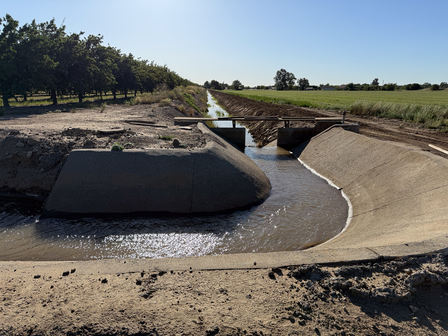
…where the canal turns east. This canal is mostly dirt, but the corners are concrete.
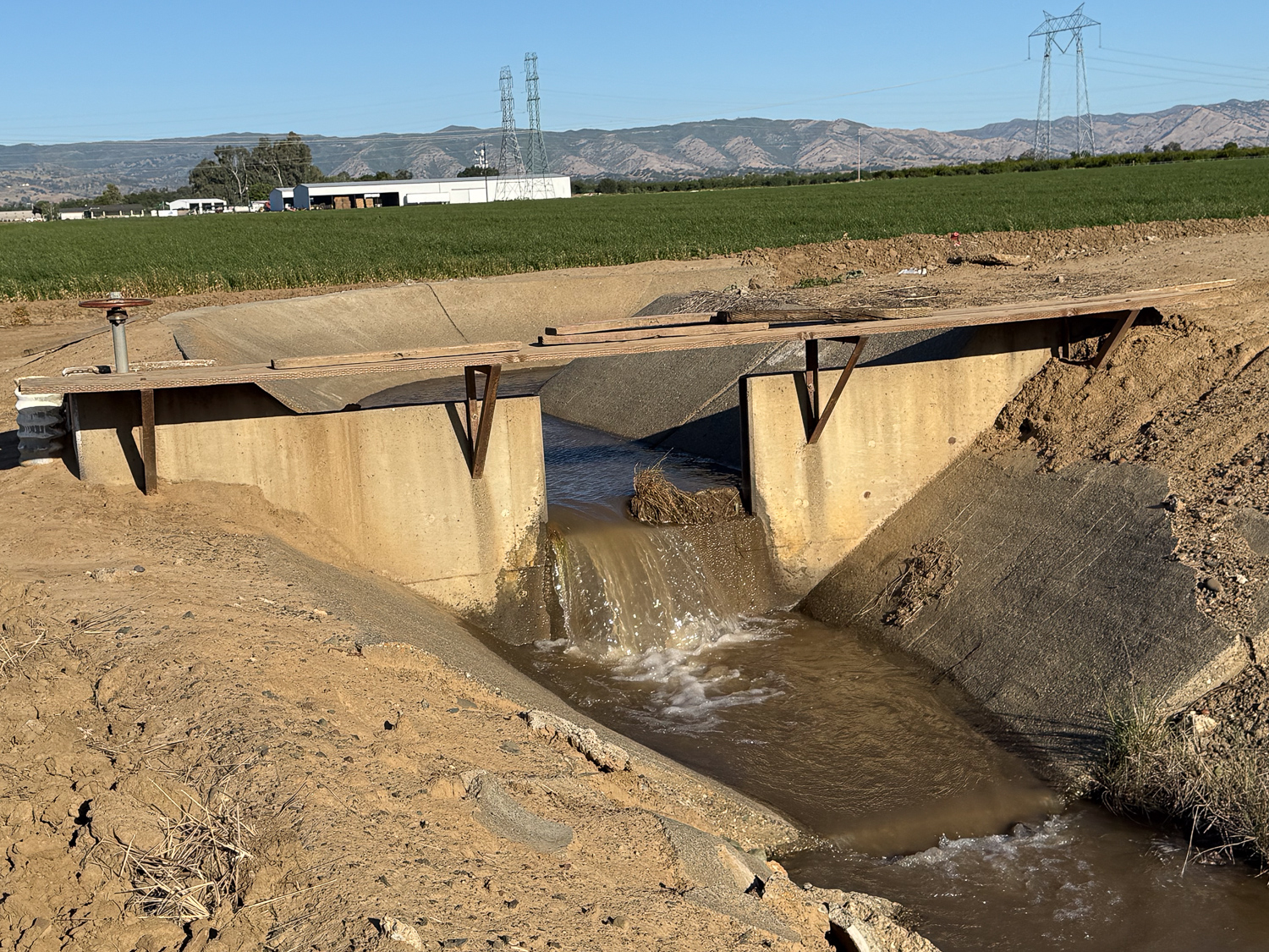
This is the other view of that canal
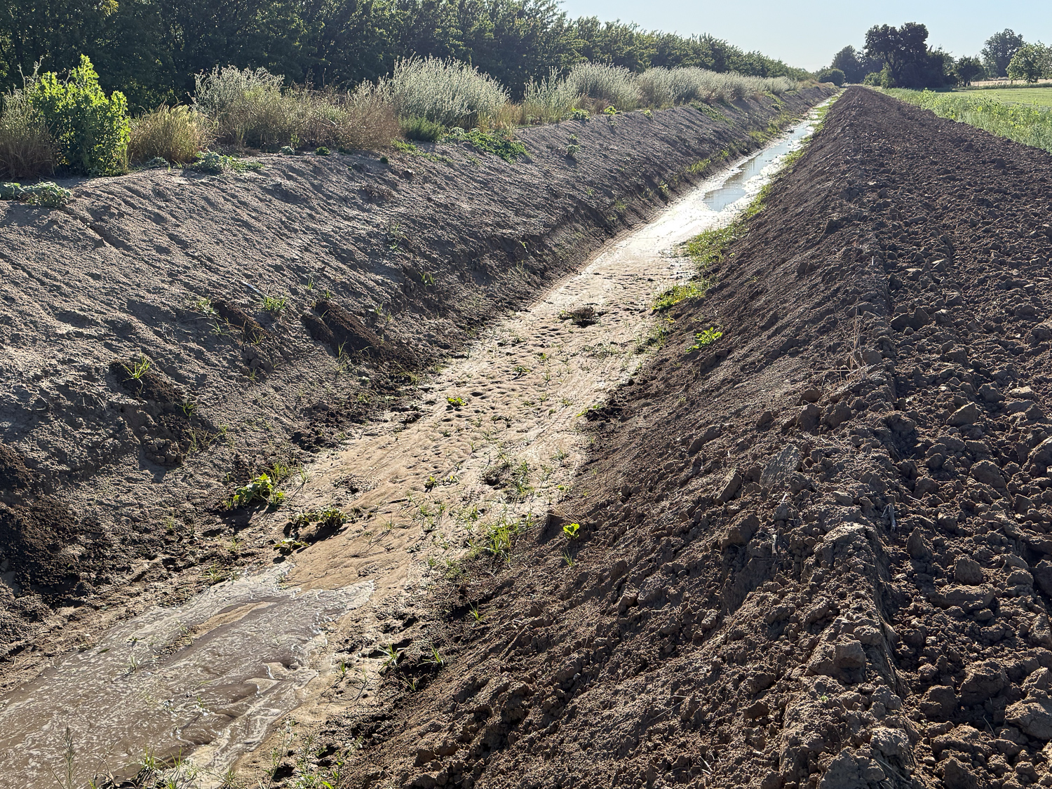
Here is the water I asked for flowing down the canal (lower left) where it will meet up with the water that was already there but not flowing into our field.
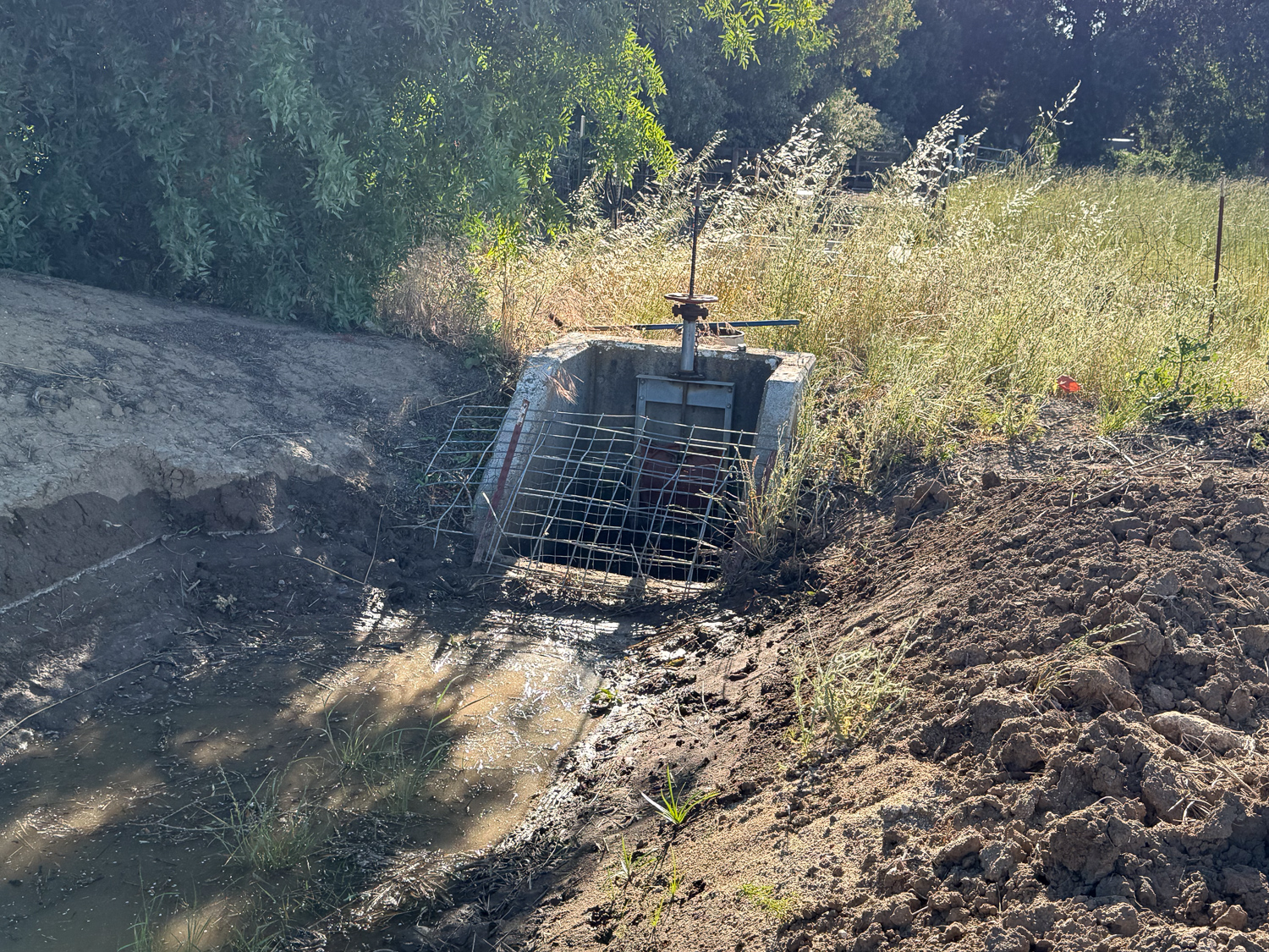
When the water gets here it will start to fill our pipeline.
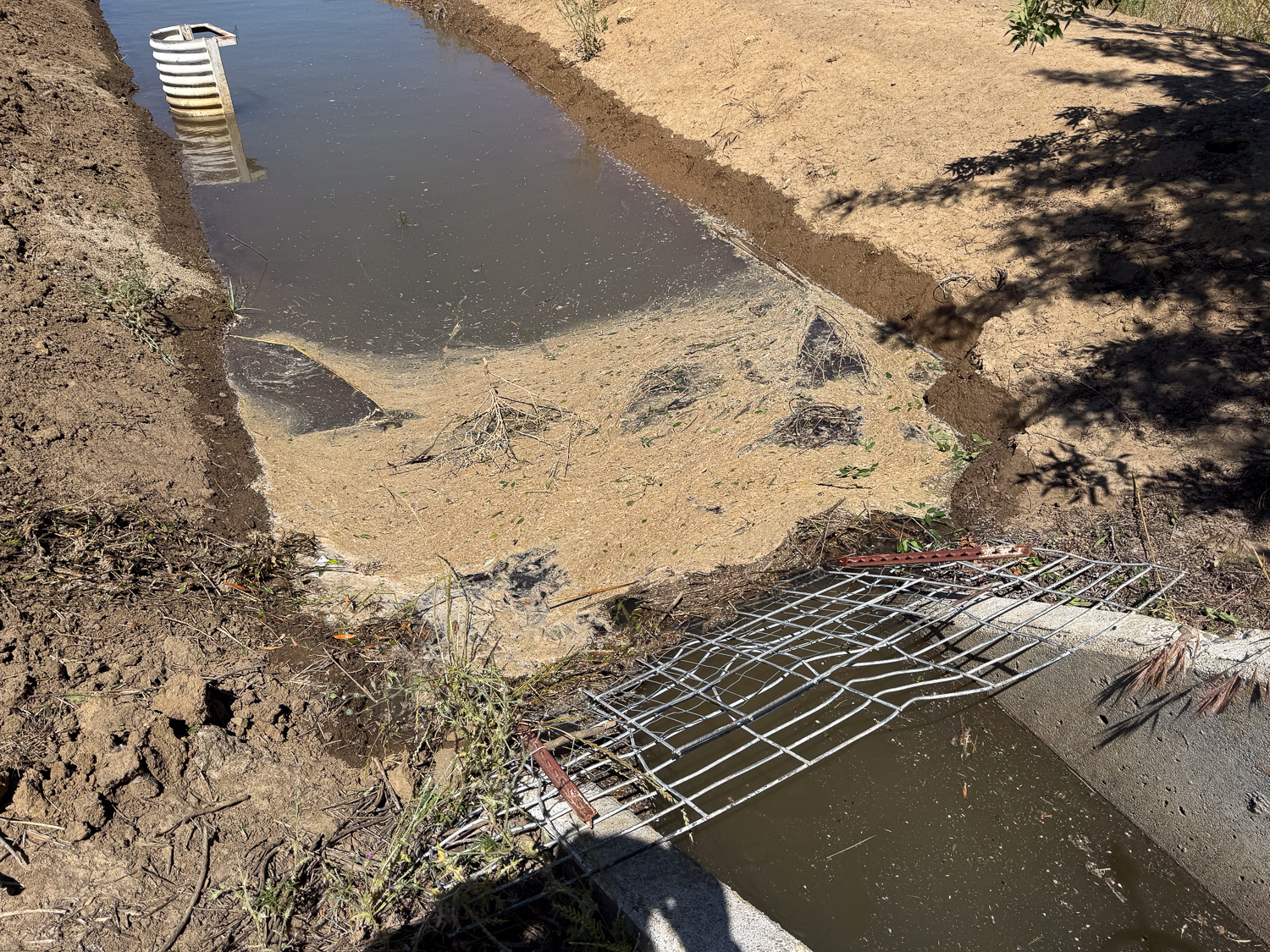
I came out a few times to clear debris away from the inlet. Before we put this screen up there were issues with larger weeds and branches impeding the flow into our system.
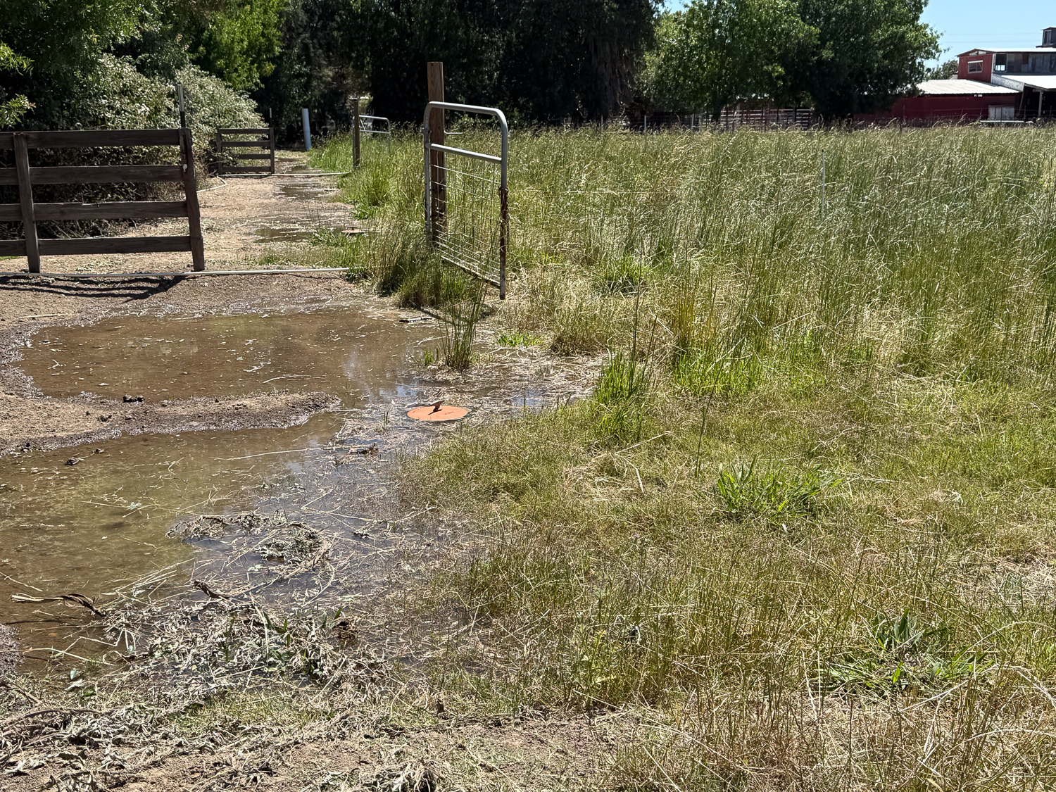
This shows the valves across the north pasture after the water started yesterday. I was out here many times yesterday to monitor how far the water had gone. It was much slower than the last time, probably because it is so dry and it takes more water to fully soak the soil. That March irrigation took only 24 hours for the whole place. We started yesterday about 8 a.m., and I didn’t finish this field until evening. I started the south pasture around 7 p.m. and went out to monitor it at 9 p.m., midnight, and 4 a.m. I already extended this as much as I could for today, but it won’t get everything irrigated.
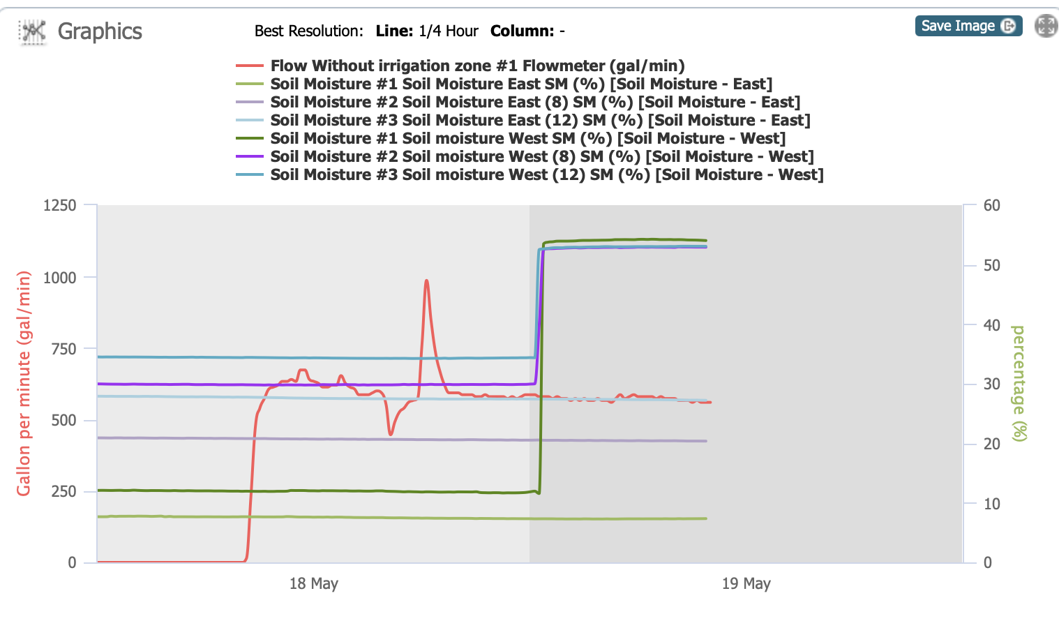
Here’s the graph now showing that the moisture sensor on the west has been activated, but not the east one so far. This feels like a FAIL. We’ll need to get that water flowing again, but you can see it’s not as simple as turning on a faucet.