Irrigating

In the Sacramento Valley it rains in the winter (hopefully) and is dry in the summer. Without irrigation the landscape would be brown. So irrigation is a necessary task throughout the summer. March was so dry this year that the irrigation district filled the canals and started the season earlier than usual. We irrigated March 20. There was some rain in April, but at this point in mid-May we were overdue for getting water on the field.
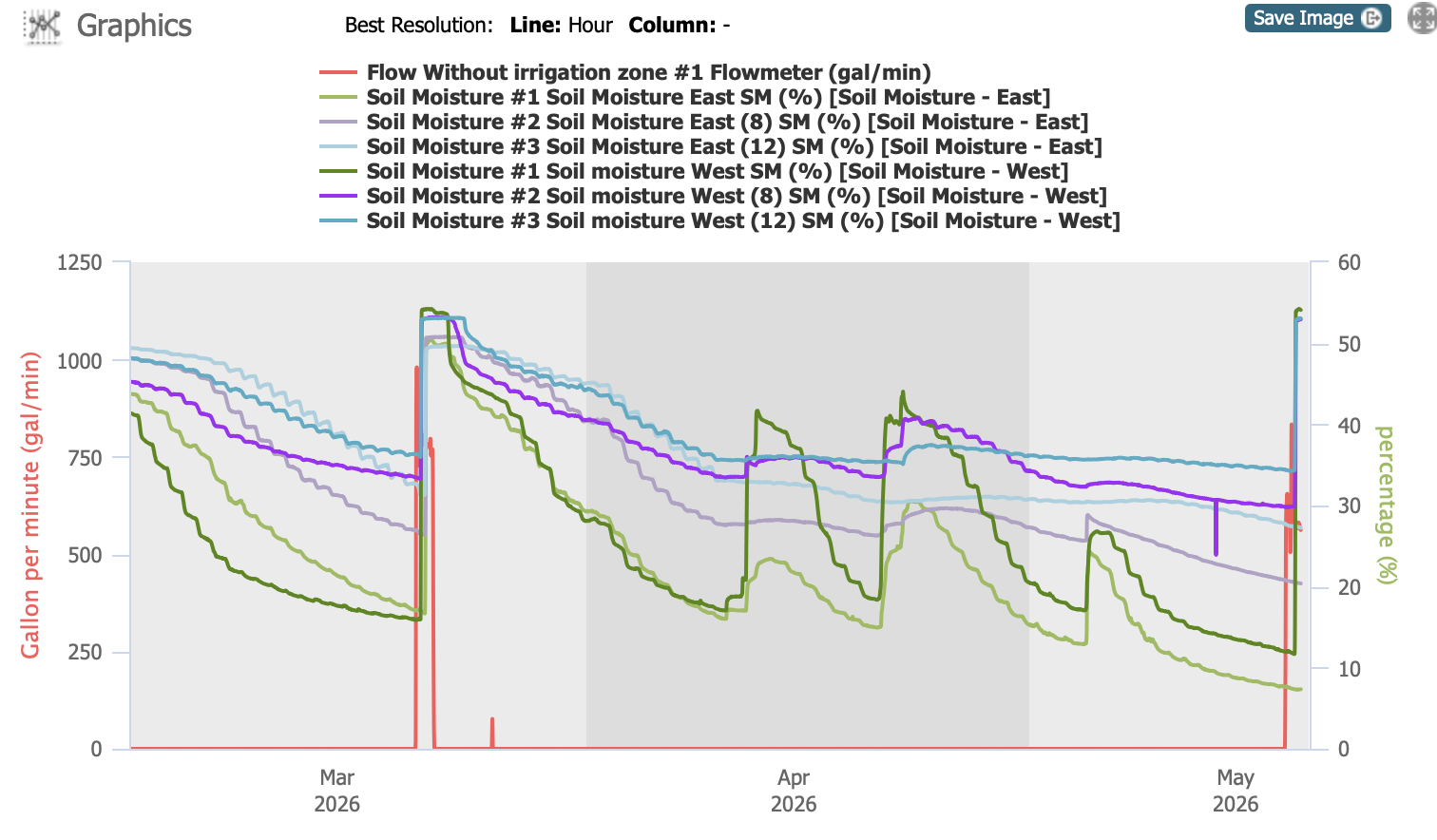
Graph that shows water levels in the pasture.

Part of the pasture renovation project (thanks to NRCS–search for Pasture Renovation here to see all the posts) was installation of two soil moisture sensors. This chart indicates measurements at 3 depths on a sensor in the south west (in bold colors) and one towards the east (lighter colors). They indicate soil moisture levels at 4″ (green), 8″ (purple) and 12″ (blue). The red line indicates flow through the irrigation system. All soil moisture levels were high after February precipitation, but you can see how the 4″ content drops fairly quickly and then responds to rain events. By this time in May it was very low and the 8″ readings were getting low as well.

The goal is to measure soil moisture in the root zone and use that to plan irrigation. We’re still learning to use it appropriately. If we irrigate too frequently we run the risk of running out of our water allotment by the end of the season, and who knows how long the dry season will last.
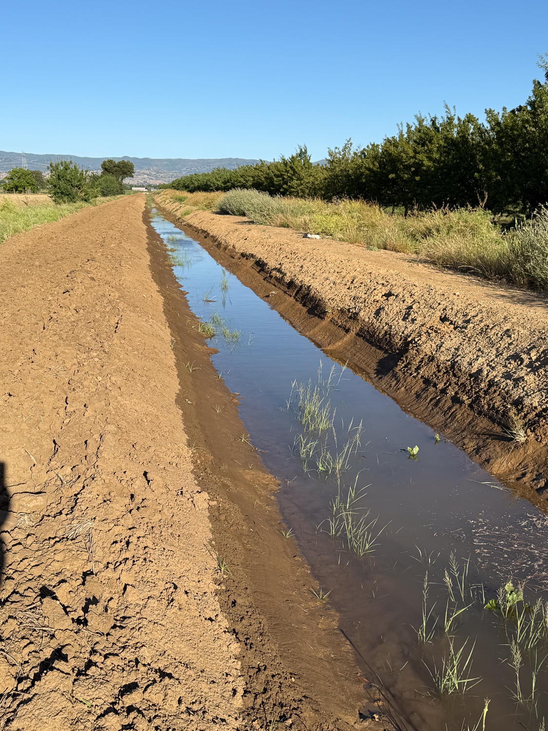
Irrigation ditch with trees on the right and dirt on the left.

This photo is the view looking west from just beyond the corner of our property. The water in the canal is leftover discharge from irrigation further up.
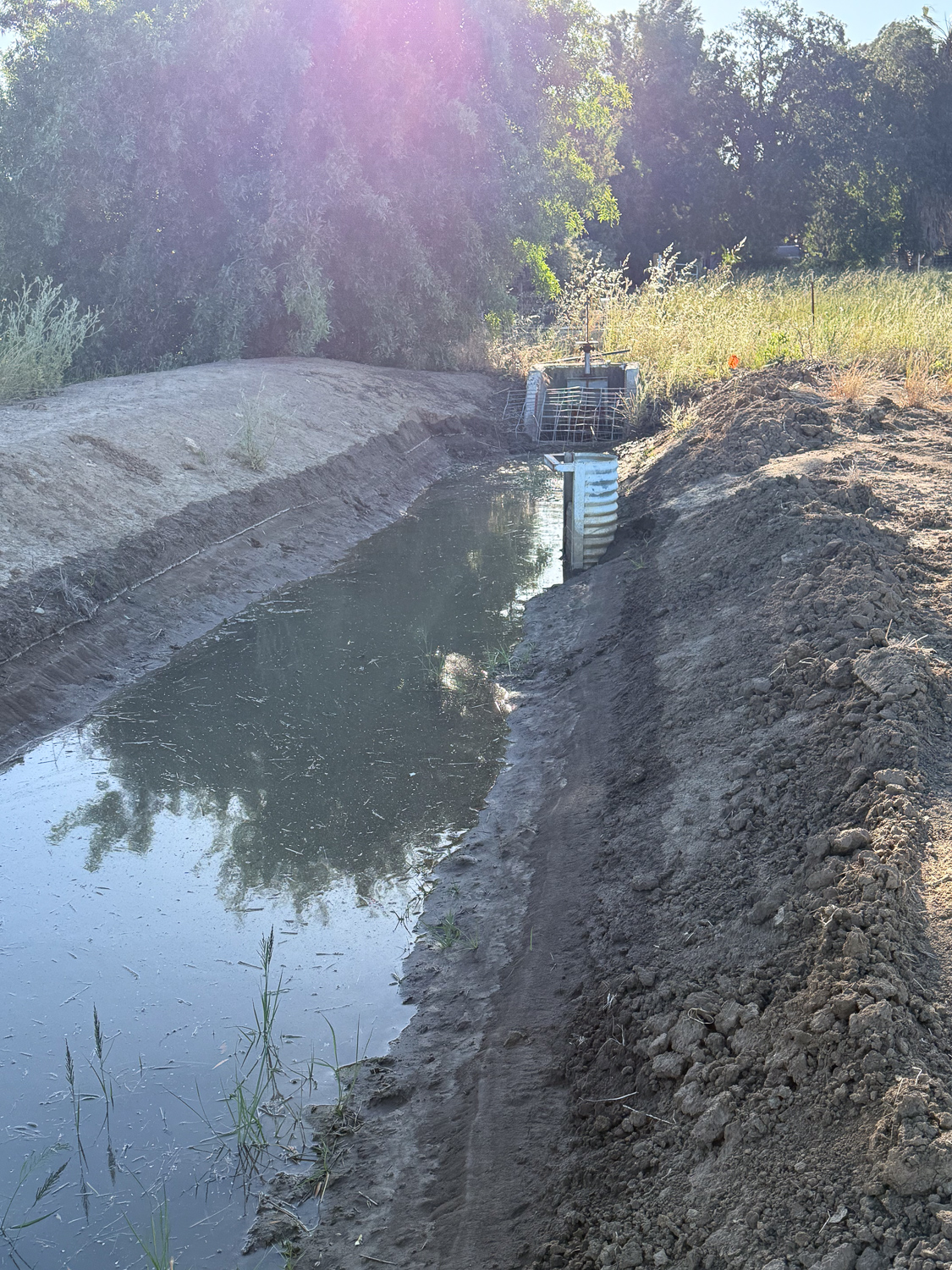
Irrigation ditch with some and trees and grass at the end.

Turning around, this is where the water enters our property. The half pipe on the right is an outlet for the discharge water so that it runs under the dirt road and into canal that goes south along the west edge of our pasture. When we irrigate we block that pipe off with boards to keep the water flowing west.
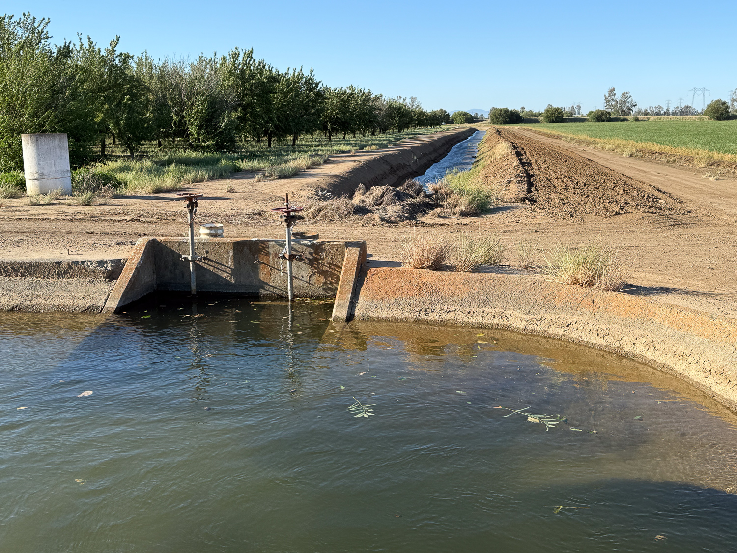
Cement-lined Irrigation canal.

I walked up that road to the west and then turned north to get to this point where the water is released from a bigger canal. The water goes south until it gets to a bend…
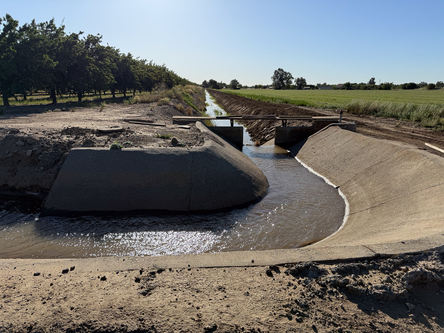
Cement-lined irrigation canal with water.

…where the canal turns east. This canal is mostly dirt, but the corners are concrete.
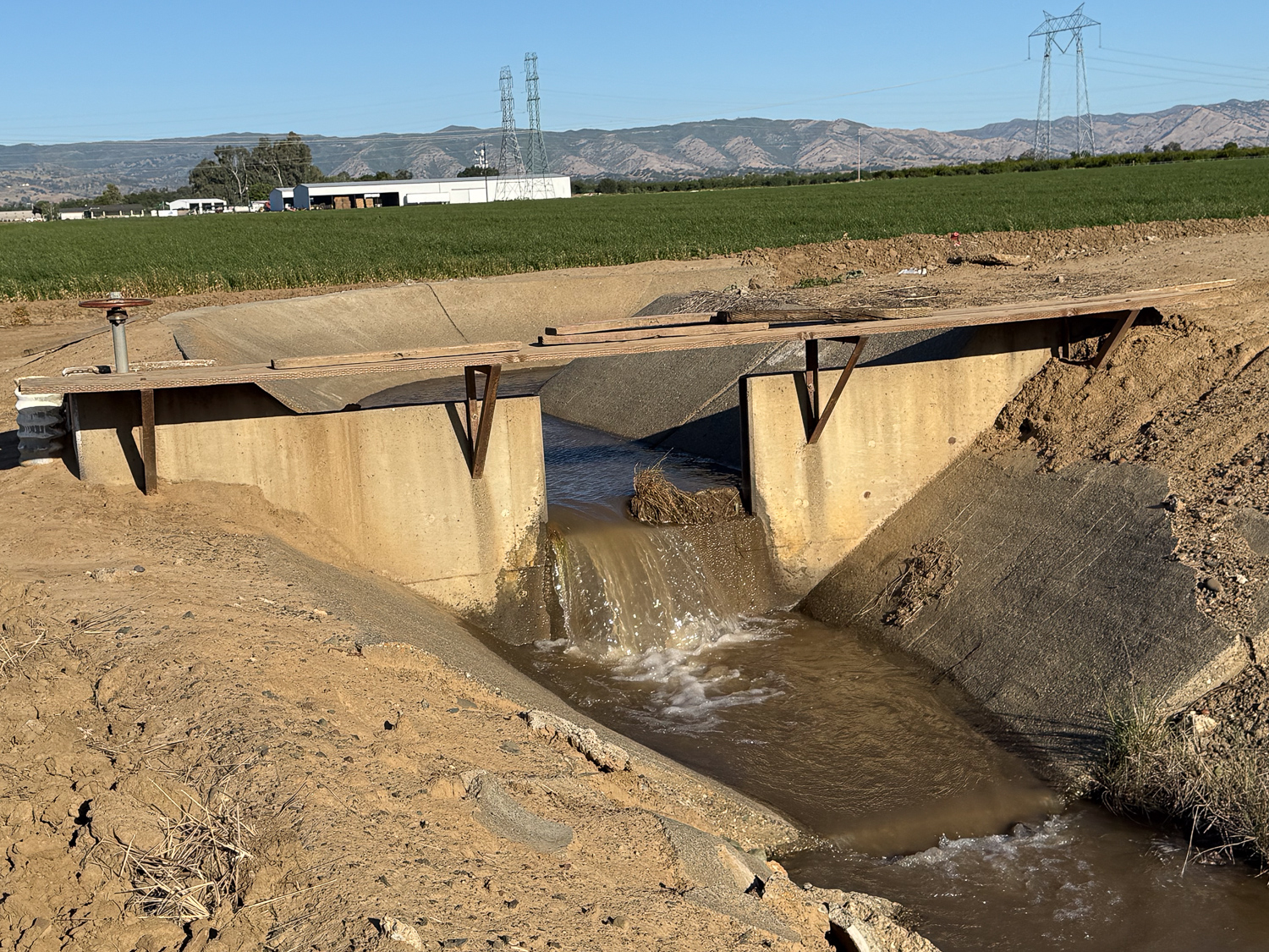
This is the other view of that canal
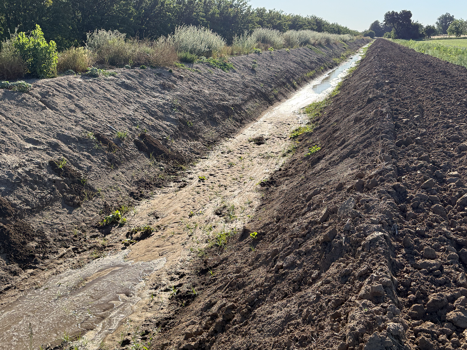
Dirt irrigation ditch with water beginning to flow.

Here is the water I asked for flowing down the canal (lower left) where it will meet up with the water that was already there but not flowing into our field.
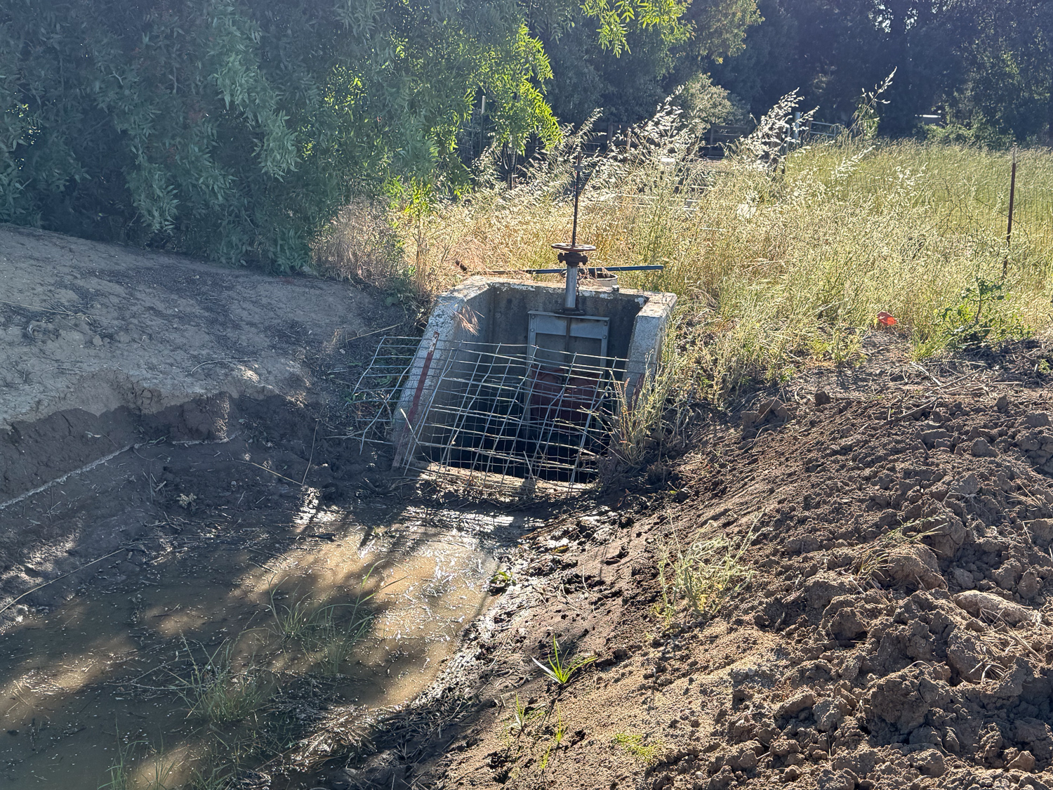
When the water gets here it will start to fill our pipeline.
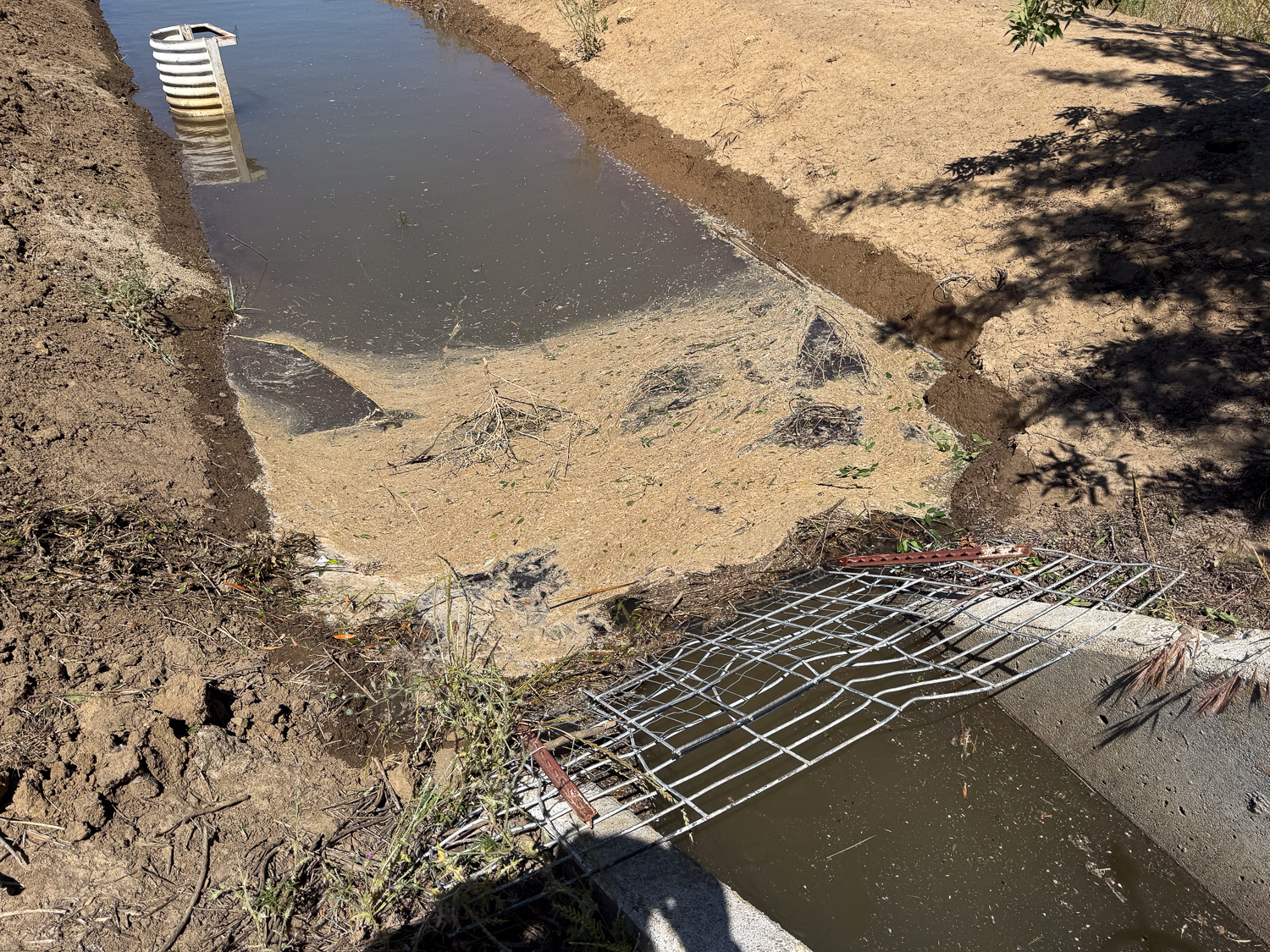
I came out a few times to clear debris away from the inlet. Before we put this screen up there were issues with larger weeds and branches impeding the flow into our system.
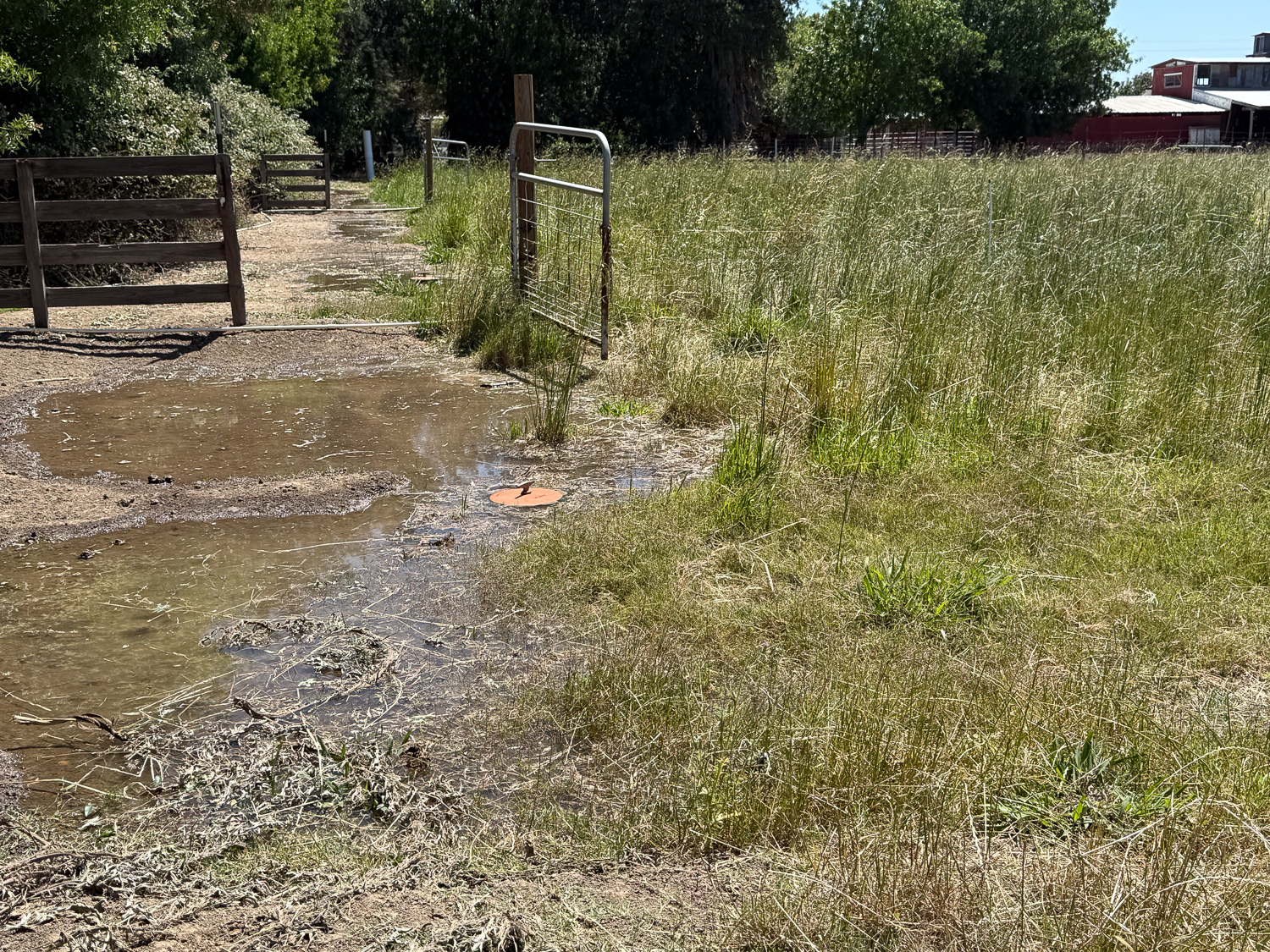
This shows the valves across the north pasture after the water started yesterday. I was out here many times yesterday to monitor how far the water had gone. It was much slower than the last time, probably because it is so dry and it takes more water to fully soak the soil. That March irrigation took only 24 hours for the whole place. We started yesterday about 8 a.m., and I didn’t finish this field until evening. I started the south pasture around 7 p.m. and went out to monitor it at 9 p.m., midnight, and 4 a.m. I already extended this as much as I could for today, but it won’t get everything irrigated.
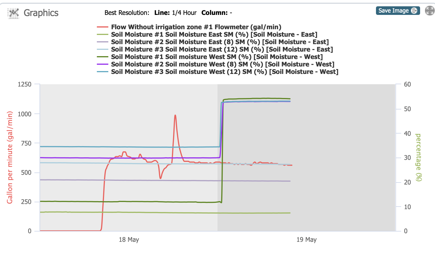
Here’s the graph now showing that the moisture sensor on the west has been activated, but not the east one so far. This feels like a FAIL. We’ll need to get that water flowing again, but you can see it’s not as simple as turning on a faucet.

Grazing and Irrigation 5 – April 29

I started this series of posts to explain the outcome of our major pasture and irrigation renovation in the fall (another series of searchable posts). The most recent of this series is here.

It was time to try out our new irrigation pipeline. I didn’t know what to expect, never having irrigated from a pipeline before. Dan, only 3 weeks after knee replacement surgery was not going to be the irrigator.

Where do we get our water? If you look at the fifth photo in this post you see the hills. Lake Berryessa is in those hills and that is the water source for the Solano Irrigation District. There is a low spot in the center of the skyline and that marks the place where Putah Creek flows from the Lake.

This photo is northwest of our property and this is the main canal from which we get our water. This view is southwest. When the valve is opened water runs down the next canal, seen below.

This view is due south. That water will be getting to our pasture after it turns a corner at the edge of the orchard.

Here is that corner. View is southeast.

Just past the corner looking due west. Our property is at the end of this canal.

This is the same location as the previous photo but showing the view to the west. That barn is the Hendrix Hay barn that you see from our property.

Walking along the road before the water is visible in the ditch. That is our barn that you see in the photo.

The same ditch but looking west from the corner of our property. That opening on the left is where overflow from other properties or storms can exit this ditch and not flow into our property. When we irrigate lengths of 2 x 6 boards are slid into a channel to prevent most of the water from flowing out into that ditch.

The view as the water is getting to our place. The red handle opens the gate to let water into our property.

When this gate is open the water flows into that concrete box where there is a flow meter and then out into the pipeline. The concrete box is 8 feet deep and 4 feet square. See some of the details in this post.

Once water fills the pipeline we start opening valves.

It will take me awhile to learn how much to open each valve, how many to have open at one time and how long to leave them open. We’re irrigating again tomorrow (a month after the irrigation in this post) and I’ll experiment again. Do you remember the old way of irrigating? I just searched my posts for “irrigation” and found this one from 2010. Wow! It shows the same corner with the old standpipe, but what is amazing to me is that north fenceline. Where are the blackberries?

Who’ll Stop the Rain?

Can you tell that I just watched a Creedence Clearwater Revival documentary (and I’m of an age to have that phrase pop into my mind)? Did you know that the CCR members got together in junior high?

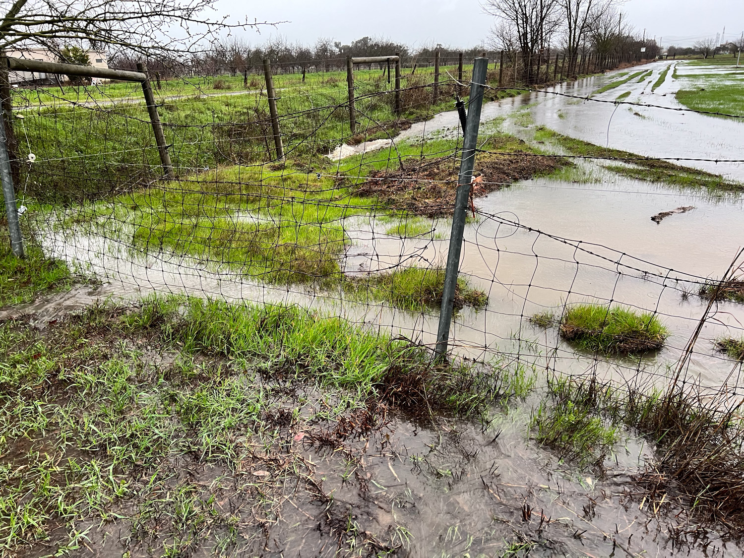
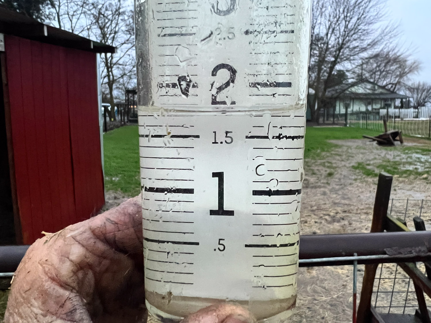
But I digress. This was to be a post that follows up on the Pasture and Irrigation Renovation posts because it’s about the pasture….and rain. After NO rain in January the first few days of February were wet. We had almost 5″, with close to 2″ in one day. That doesn’t sound like a lot to people in many parts of the country but it’s a lot for our flat property. That is 1/5 of our annual 24″ in five days.

This was before the last inch of rain fell. There was a break in the rain and I walked to the south end of the property. That post with the orange flags holds one of the soil moisture sensor I mentioned in the last post.

This is the other sensor. We are not happy about the lines in the field that have become ditches. We needed to disc and seed the fields before the heavy rain in November, which was finished hours before that storm (blog post). However the irrigation pipeline work was not completely finished. That involved more traffic back and forth in the field and we have truck tracks to deal with.

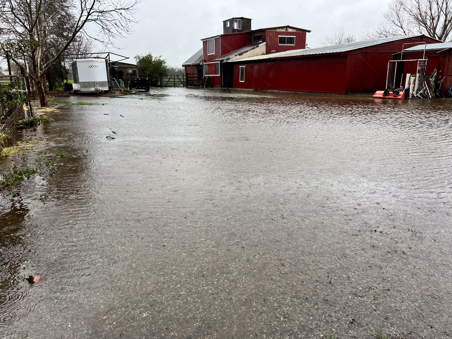
Back to the barn. For those of you who have been here, you know that this is where we walk to the barn from the house. It doesn’t take much rain (well, 2″ on top of 3″ the previous days) to look like this. Thankfully our barn stays dry inside…so far.

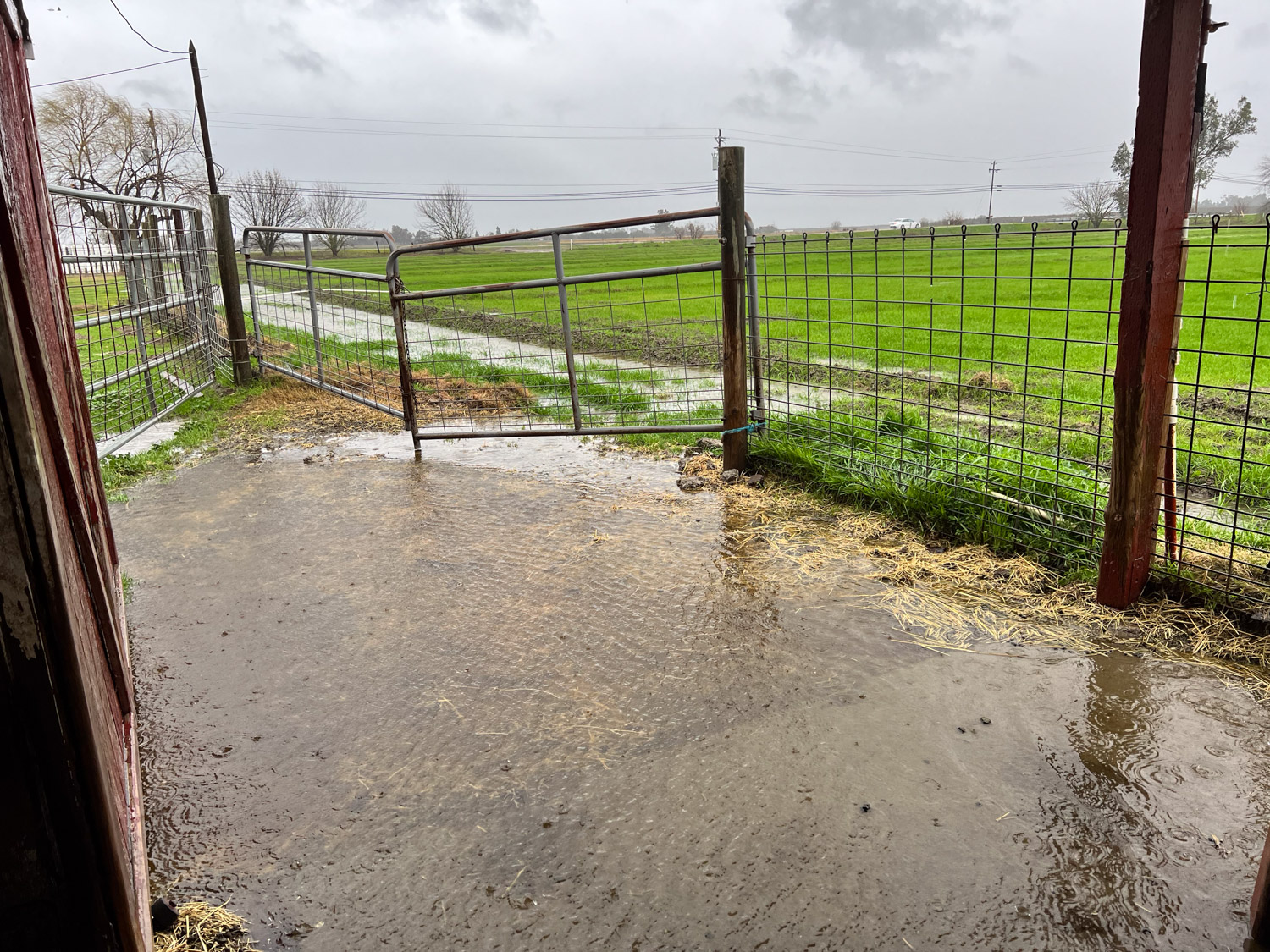
Looking south from the barn door. Normally I’d be digging a ditch to drain the water from here to the irrigation ditch. But we don’t have an irrigation ditch anymore. We have a pipeline which will hopefully make life so much easier and more efficient in the summer.

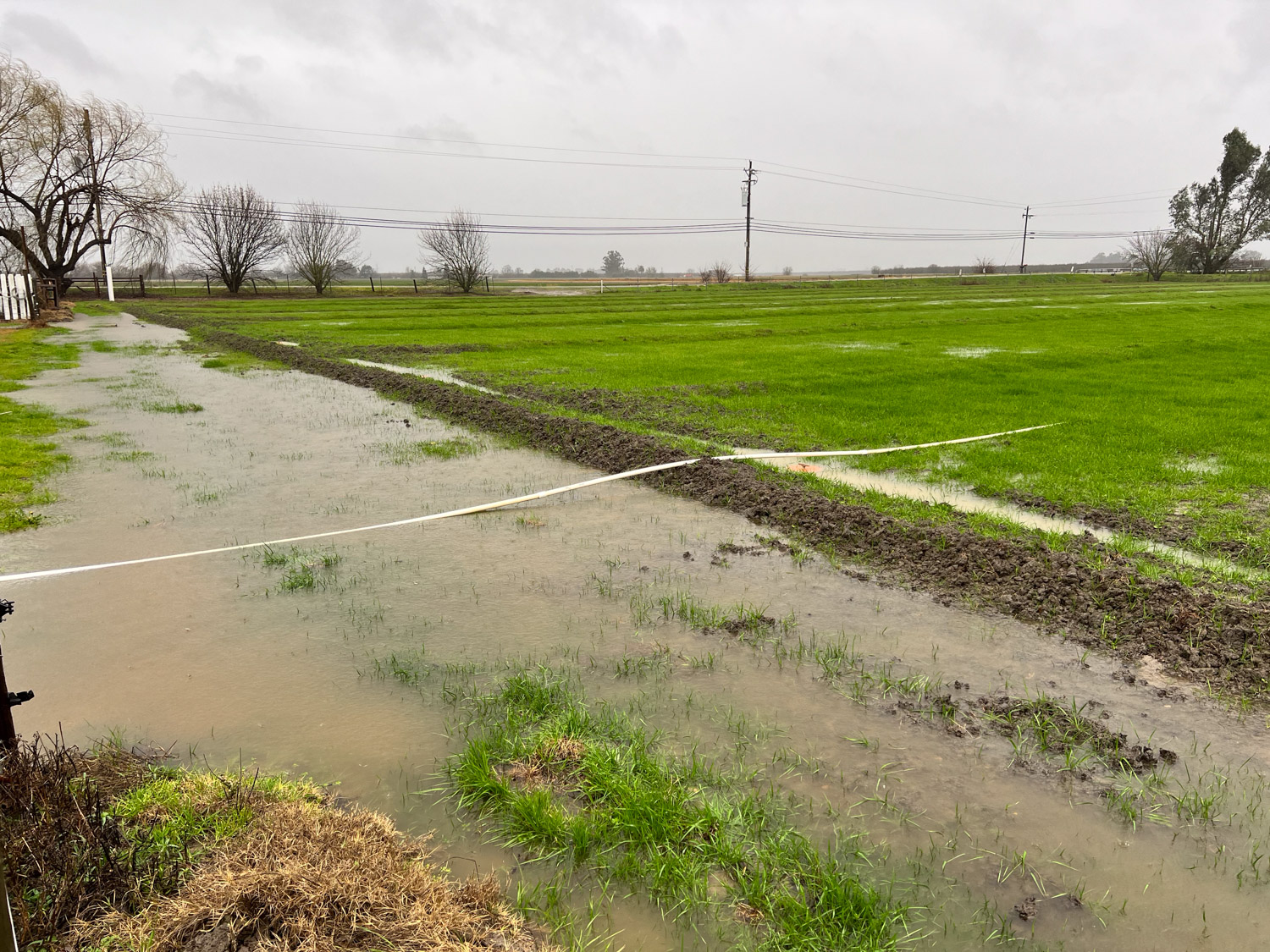
What looks like a ditch in the foreground is where the old ditch was. Now there is a buried pipeline on the other side of that row of dirt. All of this is still settling so we don’t know what it will look like eventually. The water drains off our property from the southeast corner (near the tree in the top right corner of the photo). Dan set up a pump to take the water from the near the barn through an old pipe and over that row of dirt into the field. It seemed to work OK.

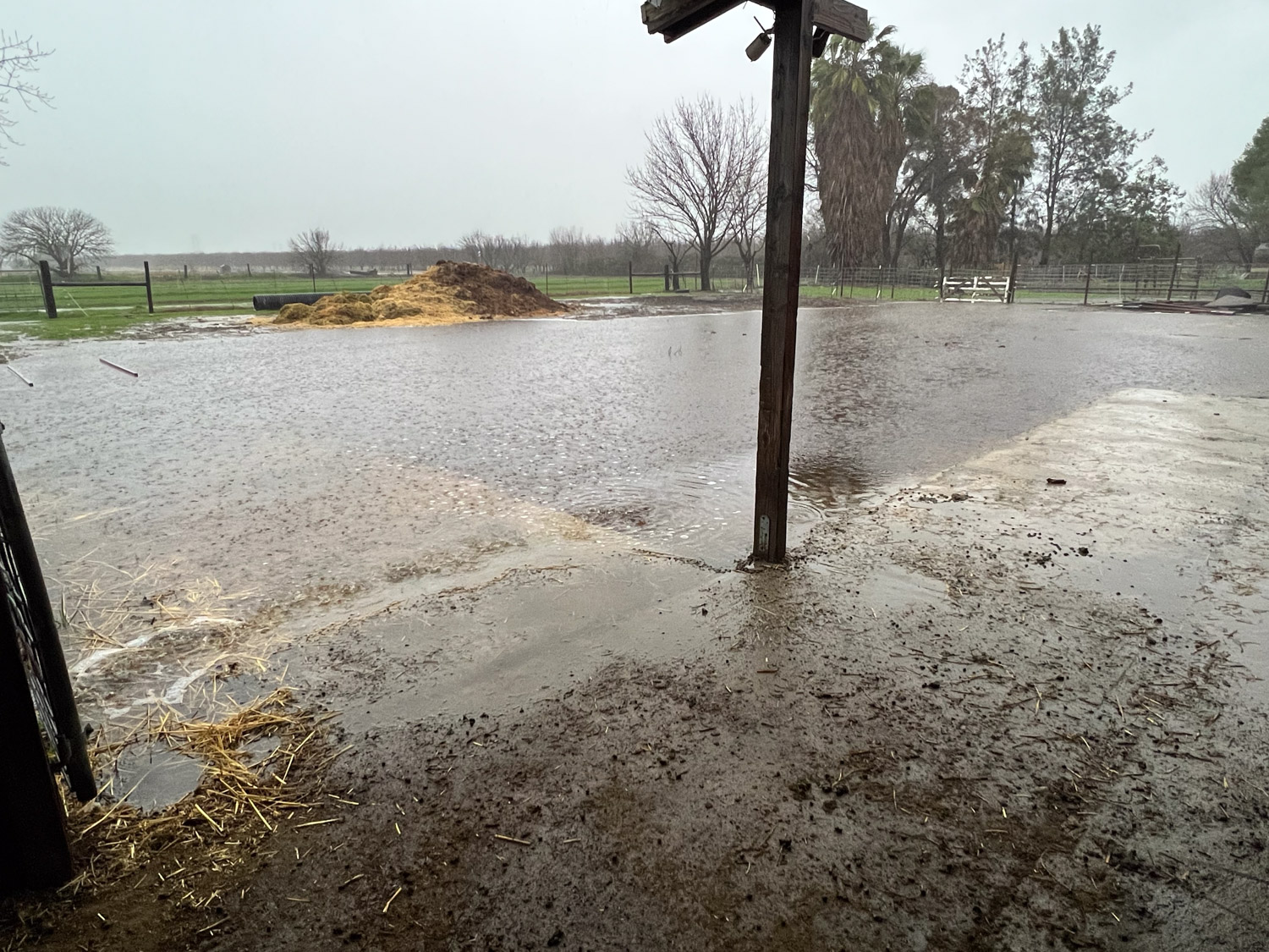
This is the view behind the barn.

Later in the afternoon I walked back to the southeast corner and brought a shovel. Like I’m going to drain this with a shovel. There is a ditch that is between the fence and the road with a culvert that takes water into the canal, and water was starting to flow under the fence here. The problem to deal with eventually is that the water flowing along the south fence line erodes the soil there as it goes under that fence into another culvert, and eventually those posts will go.

Wednesday’s total.

Yesterday was dry and sunny. Today it started raining again and that’s why the title of this post came to me.