After a fabulous time at MDSW the fun wasn’t over for three of us.
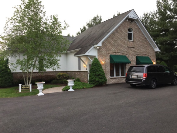
This is the house where we’d stayed for the last 3 nights.
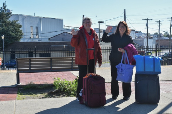
We left Dona and Mary at the bus station in Frederick where they would take a shuttle to the airport, and Chris, Kathleen, and I drove on to continue the adventure.
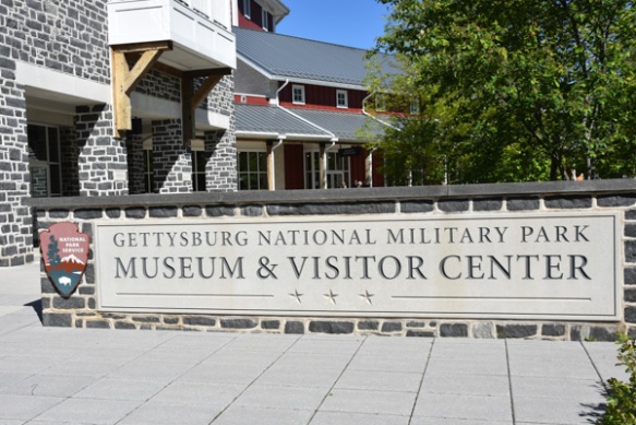
Today’s plan was to see Gettysburg National Military Park.
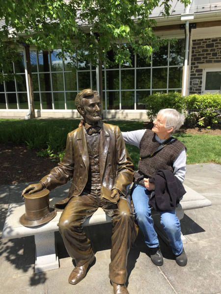
A chat with Abe outside the Visitor Center.
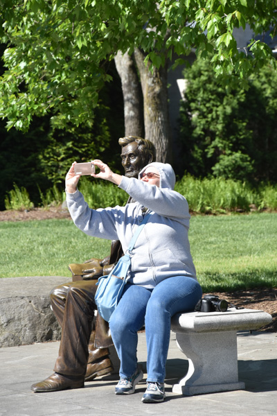
Chris took a selfie with him.
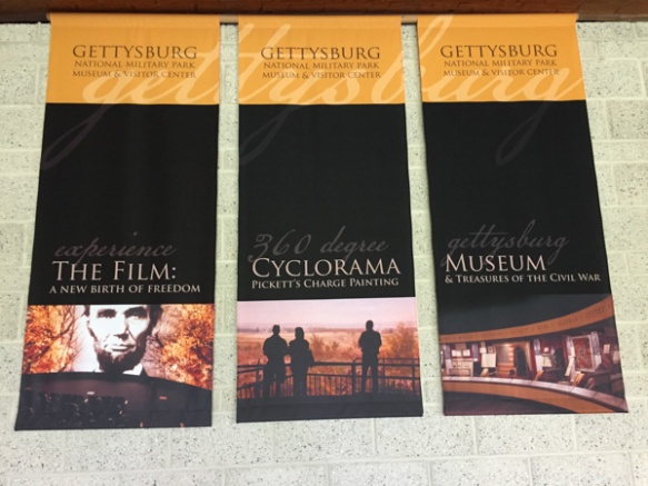
We spent a short time in the museum before entering the theater at our ticketed time for the presentation of a film about Gettysburg. This was a powerful film narrated by Morgan Freeman.
I must say here that I continue to be impressed with the modern visitor centers in our National Parks and Monuments. The presentation of history, natural history, collections of artifacts, etc is superb. If you take the time to absorb all that is presented there is a lot to learn.
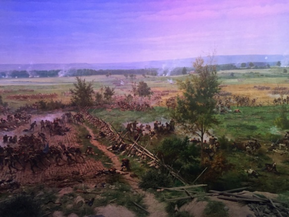
After the film we were ushered into a circular room to see the Cyclorama. . It is a painting depicting Pickett’s Charge that was completed in 1884 and is 42 feet by 377 feet! The overhead lights go dim and you watch the sky lighten as dawn comes. Then you hear the story while different portions of the painting are illuminated, changing as the day (July 3, 1863) goes on and ends in carnage.
Here’s a refresher for those of you who remember as few details of U.S. history as I do.
The Civil War began in 1861 and the Battle of Gettysburg, fought from July 1-3, 1863, is considered the most important engagement. Troops commanded by General Robert E. Lee battled the Union Army, led by General George G. Meade. The two armies were on parallel ridges about a mile apart and on July 3 12,000 Confederate soldiers were sent across the open fields in an attack known as Pickett’s Charge. Over 5000 soldiers were killed within an hour and Lee retreated towards Virginia. This marked a turning point in the war and was (I think) the northernmost point reached by the Confederate Army.
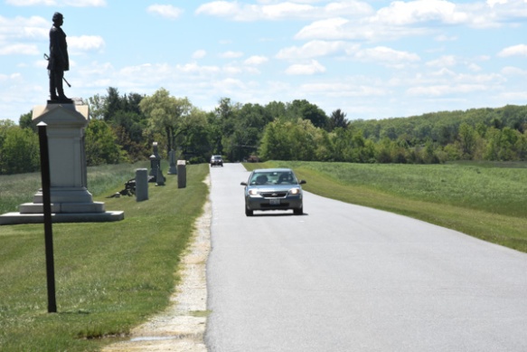
The Park encompasses the land upon which the battle was fought, located around the town of Gettysburg and there are signs that point out all the critical places that armies occupied and where battles were fought. There is a 24-mile Self-guiding Auto Tour with opportunities to stop all along the way.
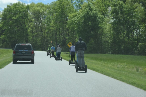
You don’t have to have an Auto to take the Auto Tour.
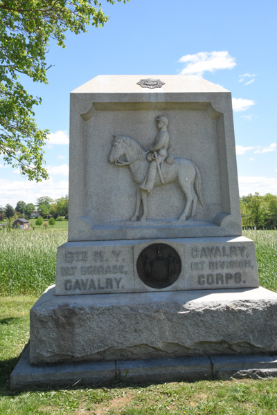
At first i took photos of all the statues we came across but I soon learned that there are over 1300 monuments and statues in the Park. Each regiment has their own and there are many markers that explain the significance of some of the sites.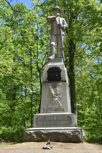
We looked specifically for this one because Chris has an ancestor who was represented here.
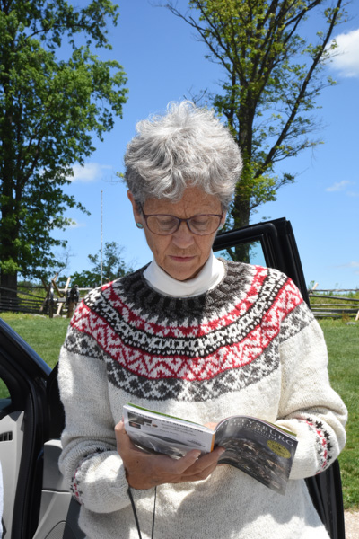
We had bought an audio guide to be downloaded on a phone and listened to while we drove through the area. We couldn’t make it work and Kathleen did a great job of narrating the tour using the accompanying book. Kathleen is wearing her MDSW awarding-winning handspun Jacob sweater that I mentioned in one of the previous posts.
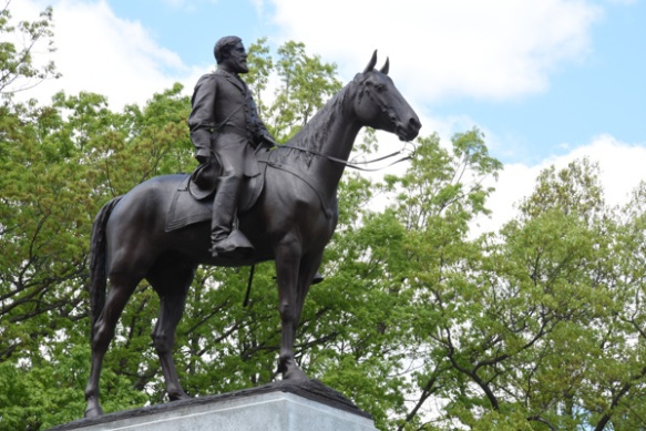 This is the Virginia Memorial, including a statue of Robert E. Lee, at one of our first stops. I love horse statues.
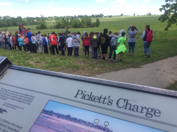 At this site we saw a couple of groups of school kids having a lesson in Civil War history. We listened awhile to the guide who explained things that I never thought about (importance of flags and drummers as a way to signal, for instance) and then had the kids line up in formation and “right face, left face, etc” It was cute to see most of them turn together but there were always a few that went the opposite way. Watching them reminded me of when my oldest son was in middle school and his history teacher, who was a film buff in addition to teaching history, led the kids in making a film of Pickett’s Charge. The kids were dressed in home-made or scrounged clothing to look the part and carrying home-made weapons (that wooden rifle is still around here somewhere I think). The school band participated as well as some of the kids who owned horses. They played out the event and made the film out in a field owned by a local farmer. I took a photo of these kids to send Matt as a fun reminder about that, but it became less “cute” and more sobering the more we read and the more we delved into the history of what actually happened here.
 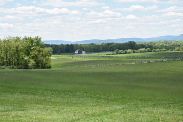 This is a view from where the kids are standing and where the Confederate troops were positioned on Seminary Ridge. Union troops were across the valley on Cemetery Ridge. This is part of a Valley that extends a couple of miles and there are significant points to the Battle of Gettysburg throughout. It is incongruous in this beauty to think of thousands of dead and dying men. And no one ever says anything about the dead and wounded horses. Add that in to the scene.
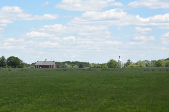 In this idyllic view you can see the Pennsylvania Memorial across the field and to the right. There are places along the route where you read (in the guidebook) about what the aftermath of a battle looks like–the biology of death–blood, flies, bloated bodies, etc. I think that people need to hear that–does it help if we (they) are given mental pictures to try and internalize the horror of war? If kids hear that? What it really looks like? In person? Does it sink in at all what it means to kill another person? To be a bully in the most final sense? This kind of atrocity is being played out in other parts of the world now. Do kids realize how lucky we are to live here? How about us adults too?
Traveling through history in such a vivid, visual way brings this out in me I guess. It seems that most historical events have to do with someone winning, someone losing, someone conquering. Kind of like the newspaper. There isn’t much to say about normal people just living their lives. Off the soapbox now.
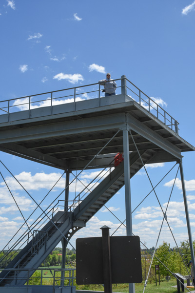
There were observation towers at a few places that allowed us to get an overview of the whole area and visualize the events that played out.
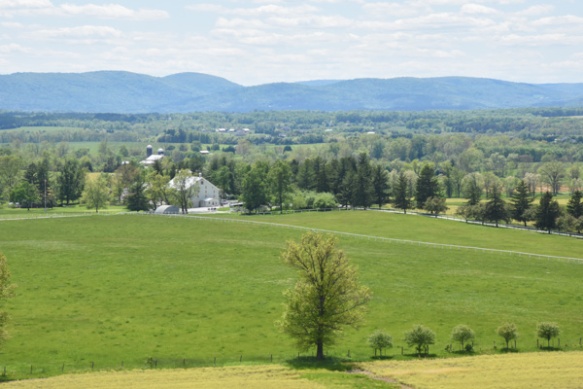 This is a view from the tower that includes, in the foreground, the Eisenhower National Historic Site, the home and farm of Eisenhower that he bought in 1950. We ran out of time to visit that.
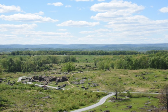 This view is from Little Round Top, a point controlled by Union soldiers. The rock formation below is known as Devil’s Den and the foreground is Slaughter Pen. There was fierce fighting as Confederate soldiers in a line a mile long approached from the far ridge and the Union soldiers tried to defend it. That description is too simplistic; there is detailed documentation about each battle site and each battle.
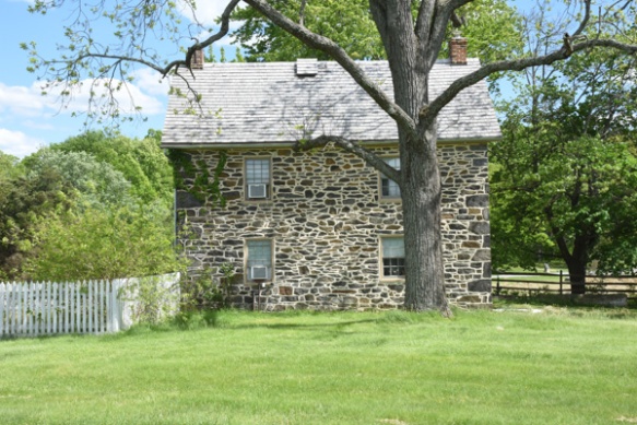 I don’t remember details of this house but it is along the tour route.
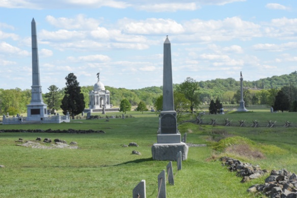 Near the end of the tour we were at what is known as the High Water Mark, the farthest point reached by Confederate soldiers during the Battle of Gettysburg.
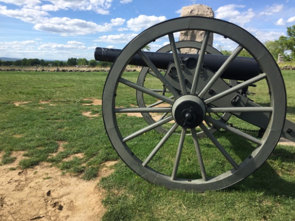 From the Park brochure: “July 3…Some 12,000 Confederates advanced across open fields toward the Federal center in an attack known as ‘Pickett’s Charge’. The attack failed and cost Lee over 5,000 soldiers in one hour. The Battle of Gettysburg was over.”
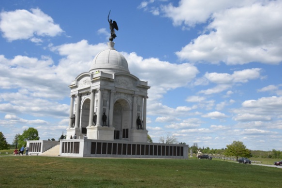 Completed in 1914, the Pennsylvania Memorial is the largest State Memorial in the Park and is near the High Water Mark.
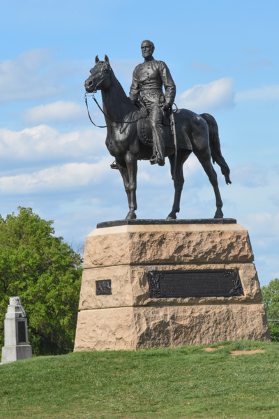
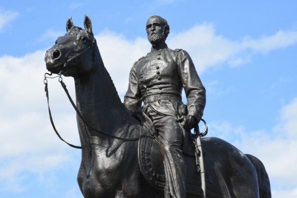
Union General Meade’s statue is nearby.
 The auto tour was almost over. Instead of the 2-1/2 to 3 hours described in the brochure I think we were there for about 5 hours.
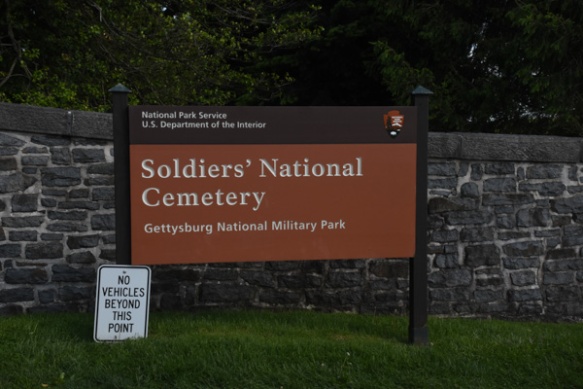 The tour ended at the Soldier’s National Cemetery, created after the battle, and where 3500 Union soldiers were later buried. Remains of 3,320 Confederate soldiers were removed from the battlefield to cemeteries in the South. Veterans from 1898 War with Spain to the Vietnam War are also buried here.
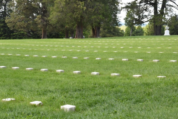
Graves of unidentified Civil War soldiers.
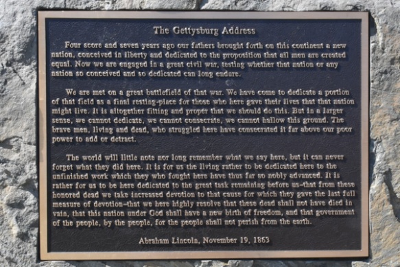
This cemetery is also the site where Lincoln gave his famous speech, taking two minutes to speak these profound words, following a 2-hour speech by Edward Everett, a well-known politician and orator from Massachusetts.
Whew! This was a sobering day. It was also very windy and tiring and we were ready to find a hot dinner and warm bed.
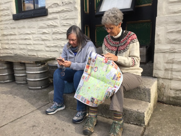
Dinner first. We tried one place that looked good but there was a 45 minute wait. Chris and Kathleen found another and we eventually had hot showers and warm beds.
Next post: Ft. McHenry and Harriet Tubman’s Underground Railroad.












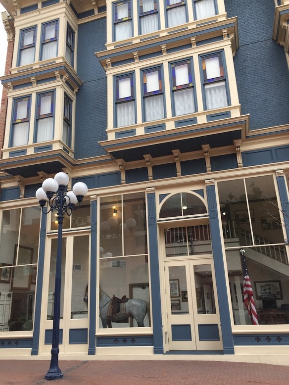 This is the beautiful Horton Grand Hotel…
 …and this is Sunshine, a paper-mache horse who stands in the lobby. He came from the saddle shop that was on the ground floor of the neighboring less formal hotel. The hotels were built in the mid 1800’s but the saddle shop originated in 1912. Wickipedia says: “Both hotels were scheduled for demolition in the 1970s when the City of San Diego purchased them to build the Horton Plaza shopping center on the site. The hotels were dismantled brick by brick, with each brick numbered, catalogued, and stored. In 1986 the hotels were rebuilt into an entirely new hotel at the present location at Fourth Street and Island Avenue.”
 Our room was lovely.
 What fun to decorate a hotel like this. The furniture was all old so I assume it was found at estate sales and flea markets. We even had a fireplace (gas so no wool hauling).
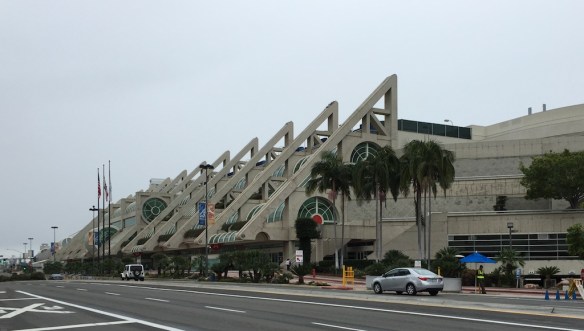 We spent a lot of our time at the San Diego Convention Center.
 Here is a message to be read on the way there. This quote in context of time and author if quite serious. In my world the last sentence has particular meaning and is serious enough in my life, if not with as profound a meaning.
  Fun view while going up the escalator in the Convention Center.
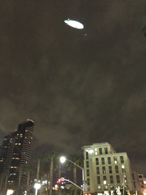 Leaving the hotel at night. This is the Gas Lamp District, kind of like Old Sac is for Sacramento.
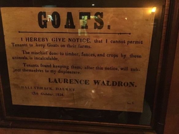 We ate one night at The Field, an Irish pub, while listening to Irish music and dancers. This sign caught my notice.
 But first I found some new equipment. These are prototypes of cool little sample looms designed by author and teacher, Liz Gipson. The unique thing about these looms is that they will be produced in 8, 10, and 12 epi versions, enabling quick sampling of yarns at those setts (and at 4, 5, and 6 epi). There are a few other gadgets I am purchasing here as well.
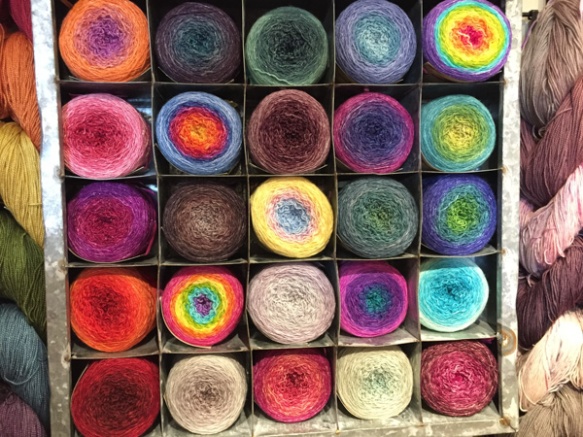
 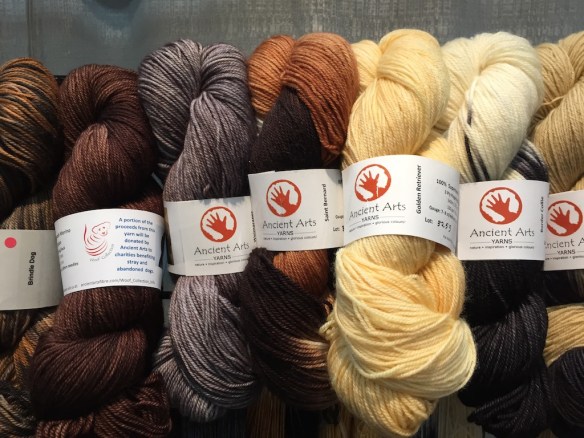 This is the Meow and Woof collection from Ancient Arts Yarns. Each yarn has a photo of the cat or dog that inspired the color. I strayed from my “buy American” plan because I was so enamored with these. They were spun in Italy and are sold by a Canadian company and a percentage of sales goes to dog and cat rescue groups. I have wove a scarf out of the calico cat yarn–that is another post.
 I already
  The Fiber Seed will be a new yarn for me. They have some wonderful gradient yarns put together in kits. I’ll get those as well as some of the solids and variegated yarns.
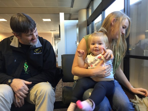 …and met up with Katie, Kurtis, and Kirby who flew in from Austin. We all boarded the next plane for an almost 7 hour flight to Kona, which is where my father-in-law lives. I have been there only one other time.
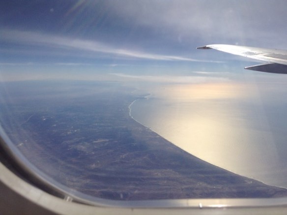 Leaving the California coast. I have this naive feeling that if the plane had to go down it would be better to be over land because you could find an airport or highway or somewhere to land.
 There is an awful lot of water before you get to Hawaii.
 But what an amazing site!
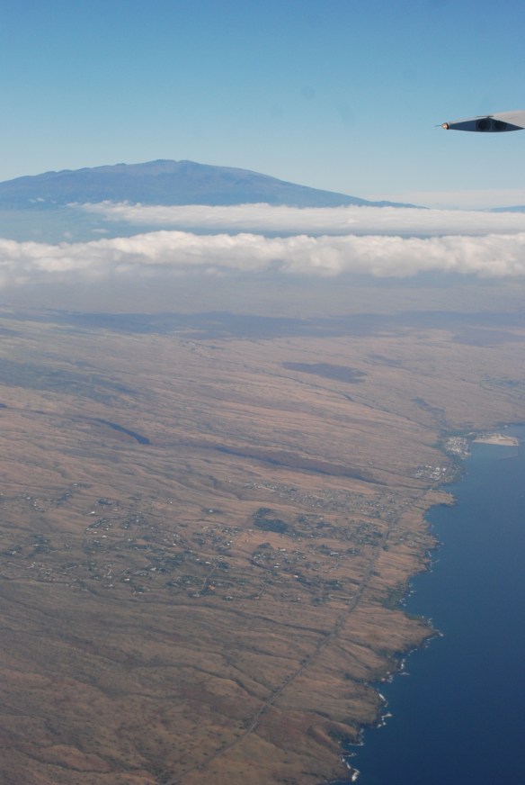 The contrast between the wet side and the dry side is amazing from the air.
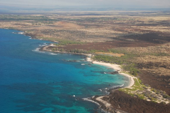 The airport is in Kona on the dry side. That is also where my father-in-law lives. Love those colors in the ocean.
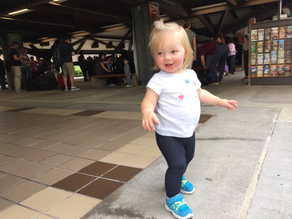 Unleashing a 16-month old after being constrained for so many hours.
 She found this grate fascinating. Hmmm. I don’t think she had to travel 3000 miles to find one of those.
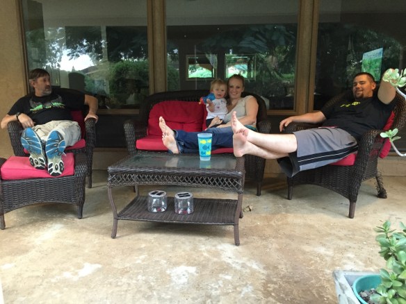 Relaxing at the house that we rented. The rest of the family will show up over the next couple of days.


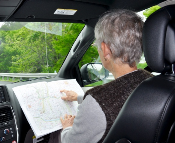
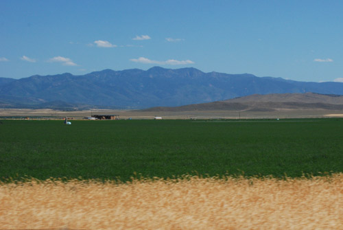
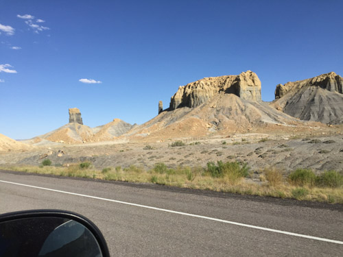
 We were entertained by following our map books. We started out with California and Nevada. I think we picked up Idaho somewhere on the way. Later we found Montana and Wyoming in a used bookstore in Jackson, WY. Eventually we found Oregon in a bookstore in Pendleton. We found these books to be a way to keep the travel interesting even in the broad stretches of “nothing” in the high desert landscapes. There are always geological formations, land features, mines or mountain-tops with names and the books offer much more detail as far as land ownership and dirt roads than regular road maps. The books came in particularly useful when we wanted to camp along the way and find roads into Forest Service land. (Yes, I also have an iPhone and I use it, but there is not always service and sometimes it’s just easier to see the whole thing on one page.)


