It’s been almost a month since we embarked on this trip so I guess I’ve had extended enjoyment while organizing photos and thinking about the blog posts. I don’t know how many people really read my posts, but there have been some who have asked “what about the ponies?”
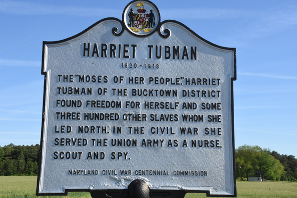
Day 6 was spent learning about Fort McHenry and exploring Harriet Tubman Underground Railroad. We spent a comfortable night at our AirB&B in Berlin and got on the road in time to get to the Assateague Island National Seashore… 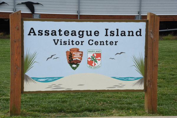
…when the Visitor Center opened. The area is managed jointly by the National Park Service and Maryland Park Service.

Assateague Island is a barrier island that is 37 miles long and separated from the mainland by Chincoteague Bay and Sinepuxent Bay. The northern two thirds is in Maryland and the southern one third is part of Virginia. If you were a horse-crazy girl once then what you know about these islands is that there are wild ponies living there, made famous by Marguerite Henry’s book, Misty of Chincoteague. We had come to find the ponies.
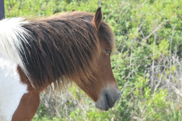
Only part of the island is accessible on a paved road that connects campgrounds and trails. We hadn’t gone far when we found them. Ponies!
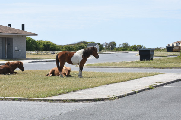
Just pretend that you don’t know that they were in a parking lot near the bathrooms. Signs everywhere warn people to leave the ponies alone and don’t offer food. It’s the same kind of warnings that you read in Yellowstone about not feeding bears and packing food away. People are kicked and bitten by ponies and the ponies are hit by cars when they get used to people offering food.
These ponies didn’t seem to be going anywhere soon…
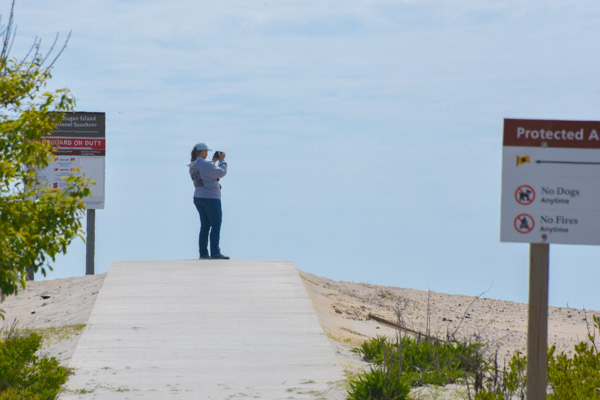
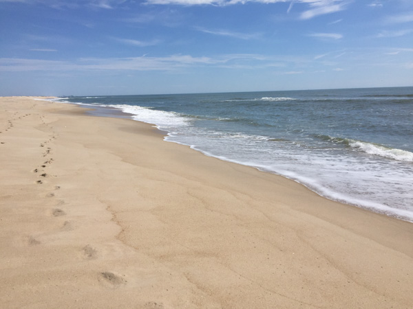
…so we walked to the beach.
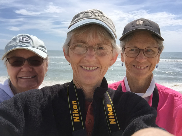
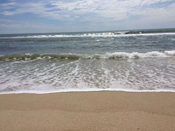
We had made it to the Atlantic.
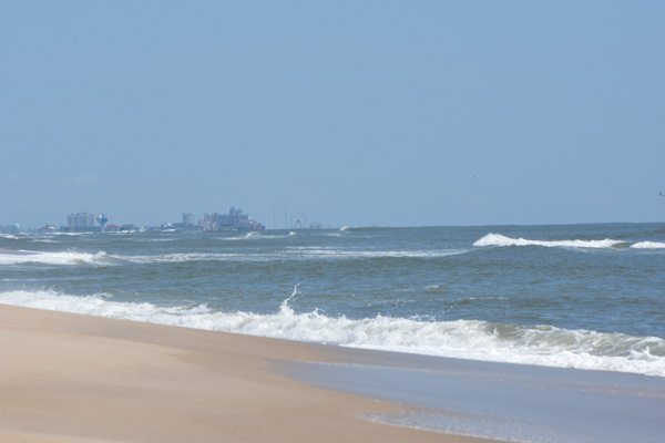
That is Ocean City, about 10 miles north. Can you see the ferris wheel and the amusement park in the middle of the photo? What a contrast when looking from the National Seashore.
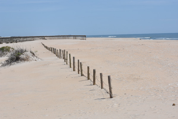
The barrier islands are “among the most dynamic landforms on earth”. There is constant change. Assateague Island is moving west, at an accelerated rate after jetties were constructed near Ocean City in the 1930s. At one time Assateague Island was to be developed, and in the 1950s a 15-mile road was created on the Maryland side of the island. A hurricane in 1962 wiped out structures and covered the road, and legislation in 1965 created the National Seashore.
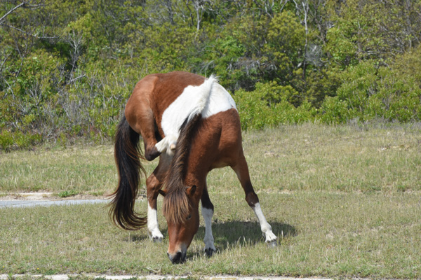
The ponies are most likely descendants of horses that were brought to the island 300 years ago by farmers who took advantage of the natural “corral” made of water. Farmers were required to pay taxes on their livestock and by turning them loose on the island, they could avoid the tax. I usually try to be scientifically accurate about what I write, but there is some artistic license here. The documentation from the Park Service says that genetically these are HORSES, not PONIES. The small stature is a result of years of adaptation to a diet of abundant, but nutrient-poor salt-marsh grasses.

Sorry. I will continue to call them ponies while I’m talking about our visit. They are used to paparazzi. We were lucky to be visiting in the off-season and on a weekday. There were very few people around. It would have been a very different scene if the parking lots and roads were full.

The ponies wandered off and we drove on to find more.
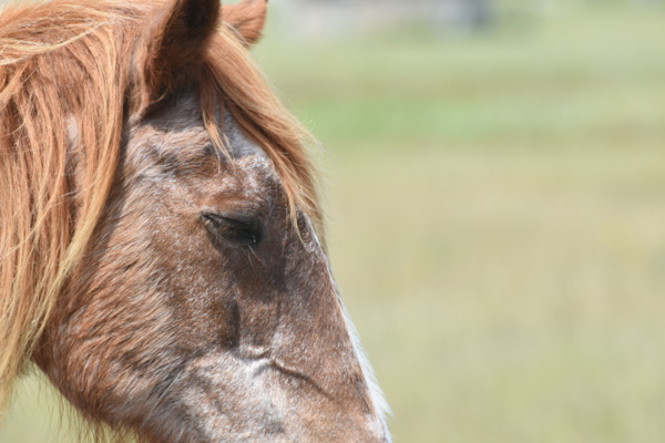
This looked like a very old pony at an empty campground. The Maryland ponies are managed as wildlife are. From the brochure, “While action may be taken to end the suffering of a gravely ill, seriously injured, or dying horse, no measure are taken to prolong the lives of Maryland’s wild horses. As with other species of Assateague wildlife, horses that are sick or weak do not survive.” The population is controlled using a non-hormonal, non-invasive vaccine, administered by a dart, to prevent pregnancy. With this method the birth rate has been lowered to fewer than ten foals each year which maintains the population at under 125 horses.
A fence that separates the Maryland and Virginia herds. The Virginia herd is privately owned and produces 60-90 foals each year. The foals are sold at auction after the annual swim from Assateague Island to Chincoteague Island and the proceeds go to veterinary care, the fire department, and various charities. There are week-long festivities around this event and you can see videos at this link.
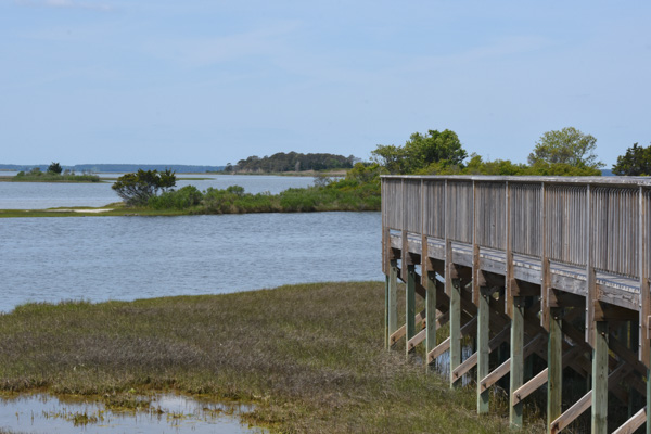
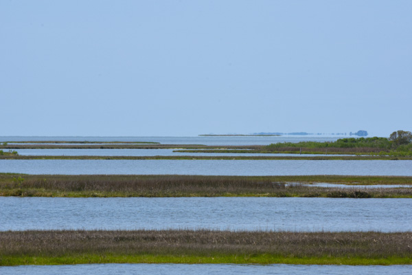
There are three nature walk trails through the marsh, the forest, and the dunes. We started with the marsh trail.
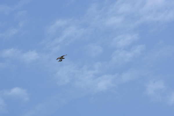
We spotted this osprey that had caught a fish.
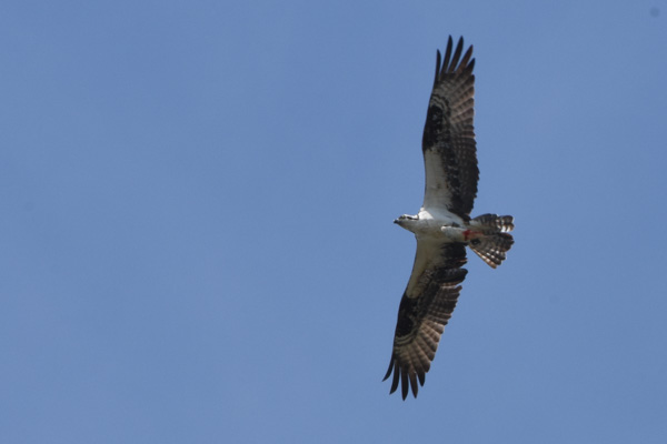
We watched for quite awhile while it circled, still carrying it’s fish.
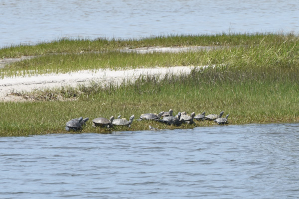
Diamondback terrapins.
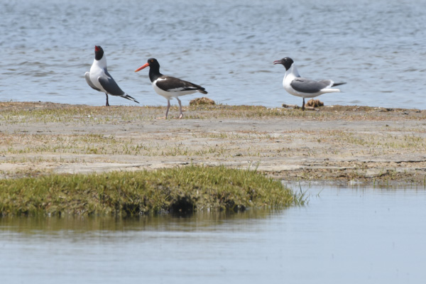
Two laughing gulls and an American oystercatcher…
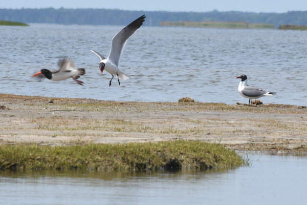
…who was not welcome.
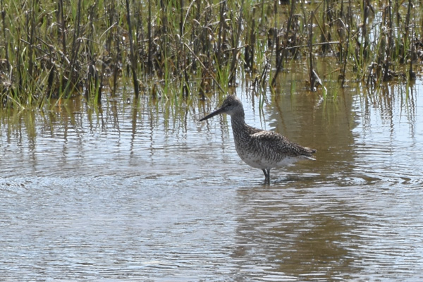
Short-billed dowitcher.
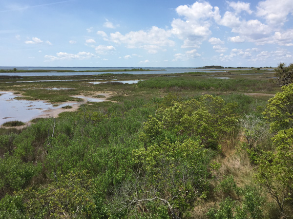
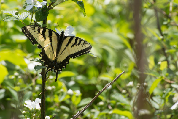
We drove down another road…
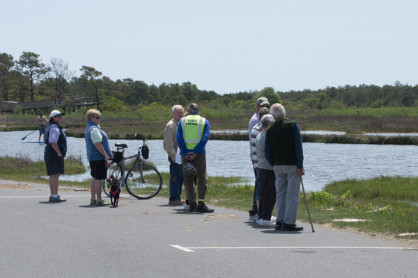
…where we saw a group of people gathered. From my Yellowstone experience (people stopping in the road when wildlife is spotted), I figured that that meant Ponies!
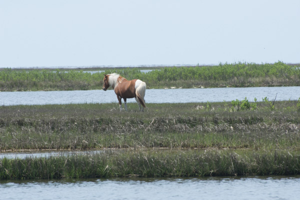
This group was a little more picturesque, being “in the wild” instead of “in the parking lot”.
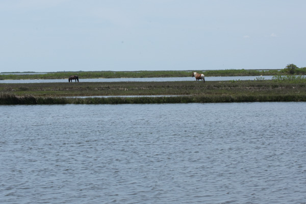
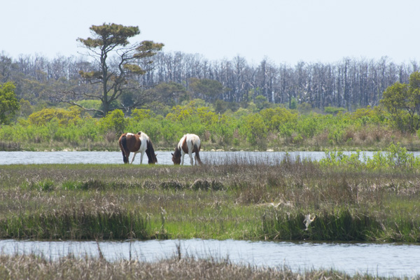

There was a Pony Patrol volunteer with that group of people answering questions and making sure that ponies aren’t harassed.
We drove to the next trail–the forest nature trail.
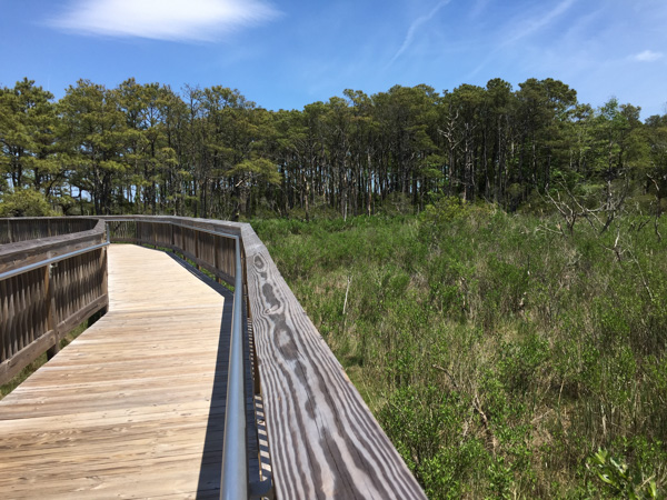
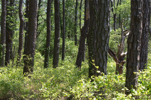
Loblolly pines are the dominate forest species.
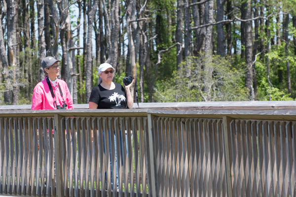
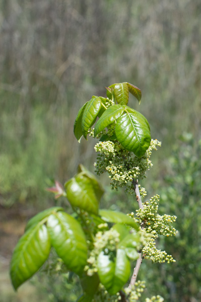
Poison ivy.
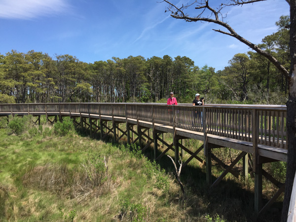

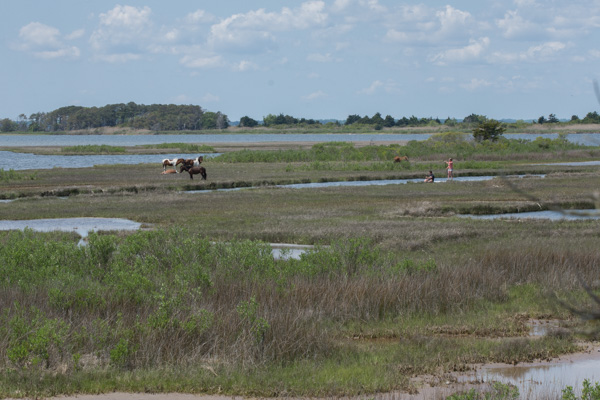
At the end of that trail we saw the same group of ponies, but from a different view. Notice the paddle-boarders in the marsh. What a great way to see the marsh and the ponies.
One more interesting pony fact: “The Assateague horses drink over twice the amount of water that domesticated horses will due to their salty food supply. All that drinking combined with a high salt diet contributes to their bloated appearance.”
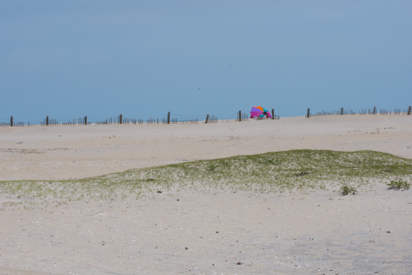
We drove to the Dune Nature Trail.
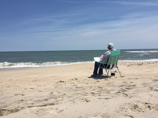
Chris needed some beach time so Kathleen and I walked the trail while Chris enjoyed the beach, albeit a bit cold and windy.
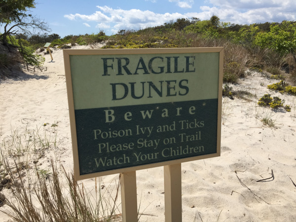
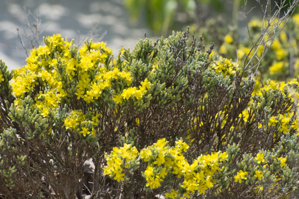
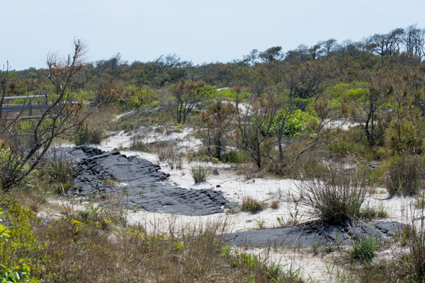
Remember the road that I said was built in the 1950s? Part of it is still visible.

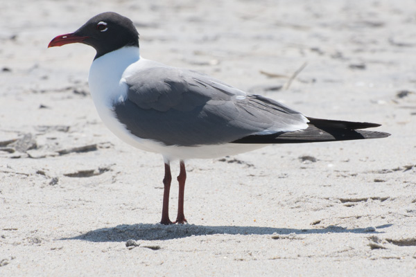
As we left the park we were faced with that age-old question.
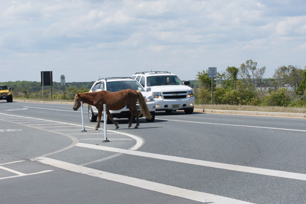
“Why does the pony cross the road?”
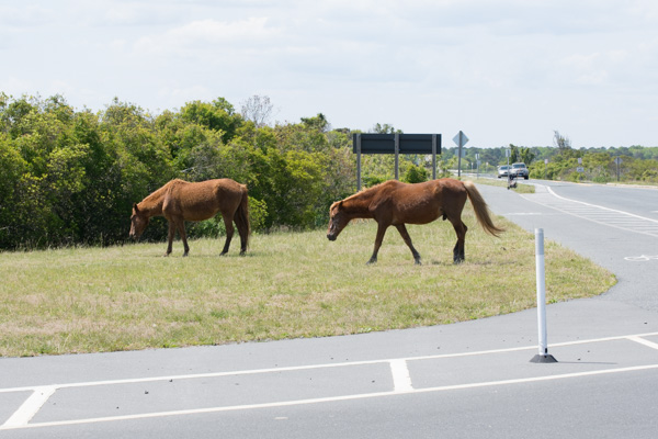
Because the grass is greener?
This was another full day (and a very full blog post) but there is more Maryland scenery. That will be another post.
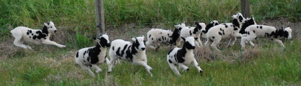

















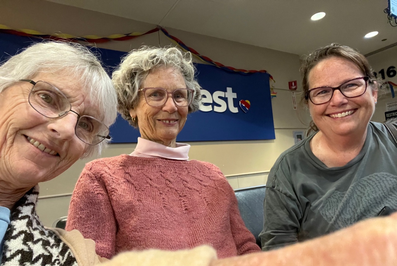
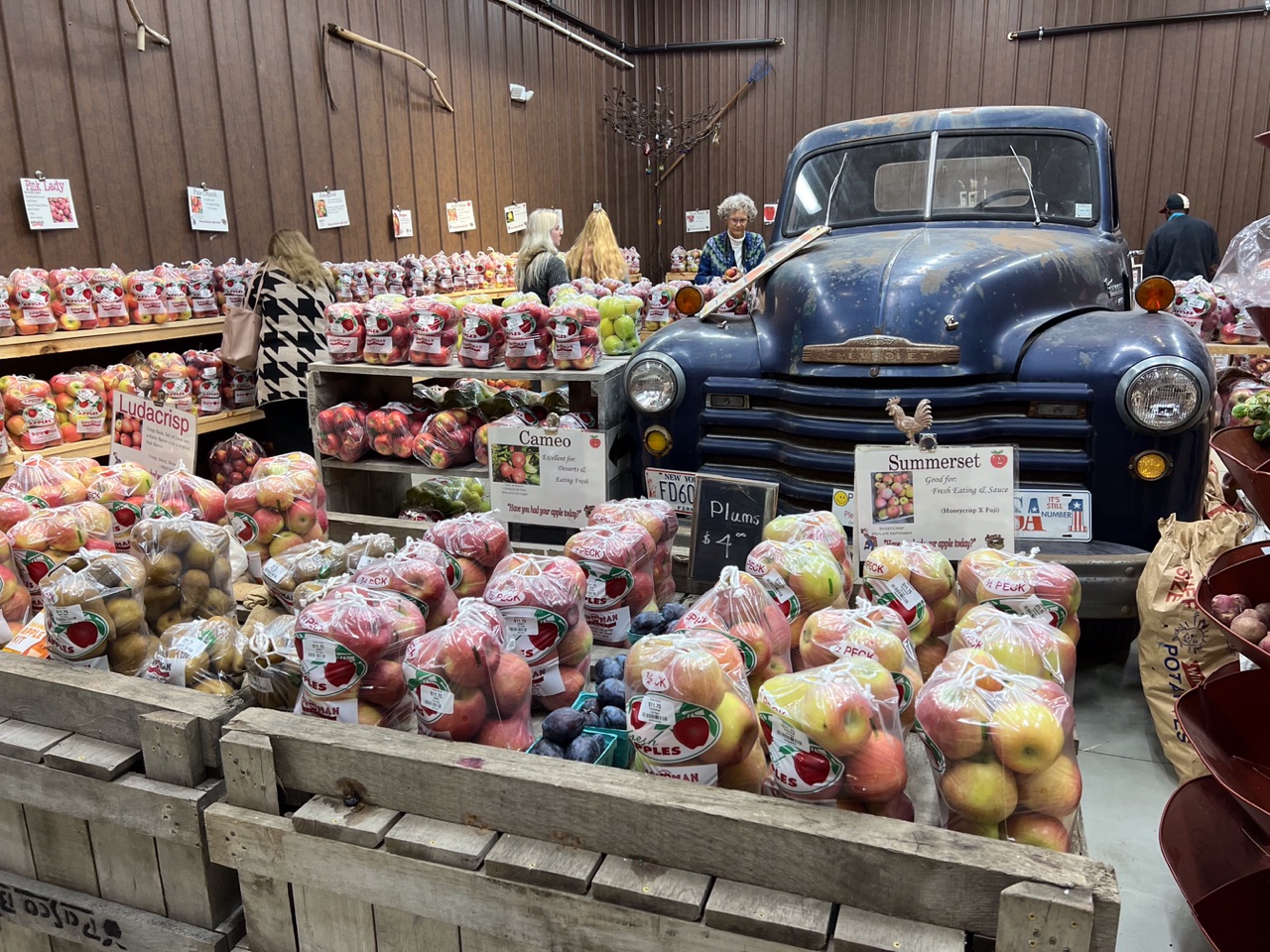
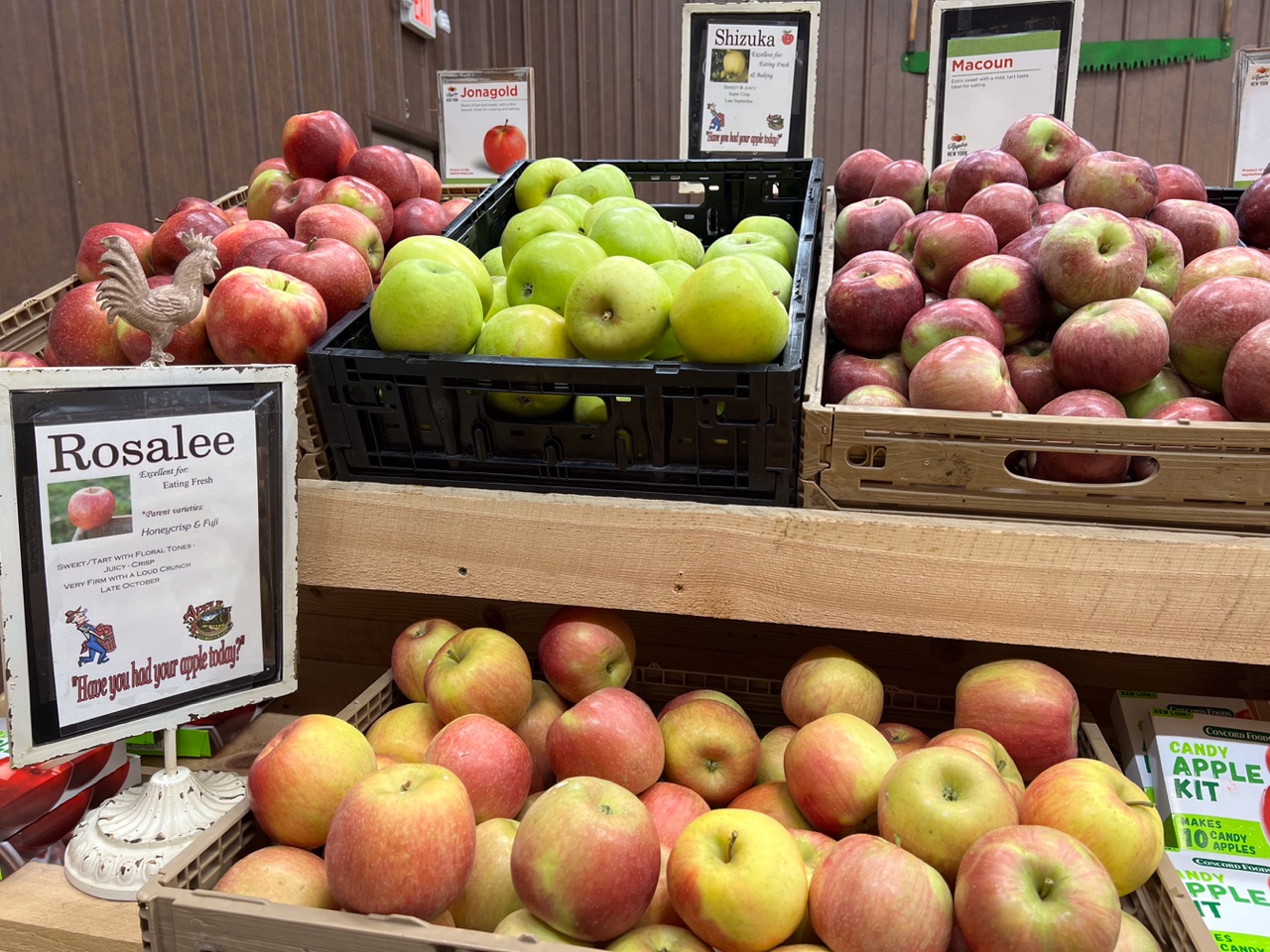

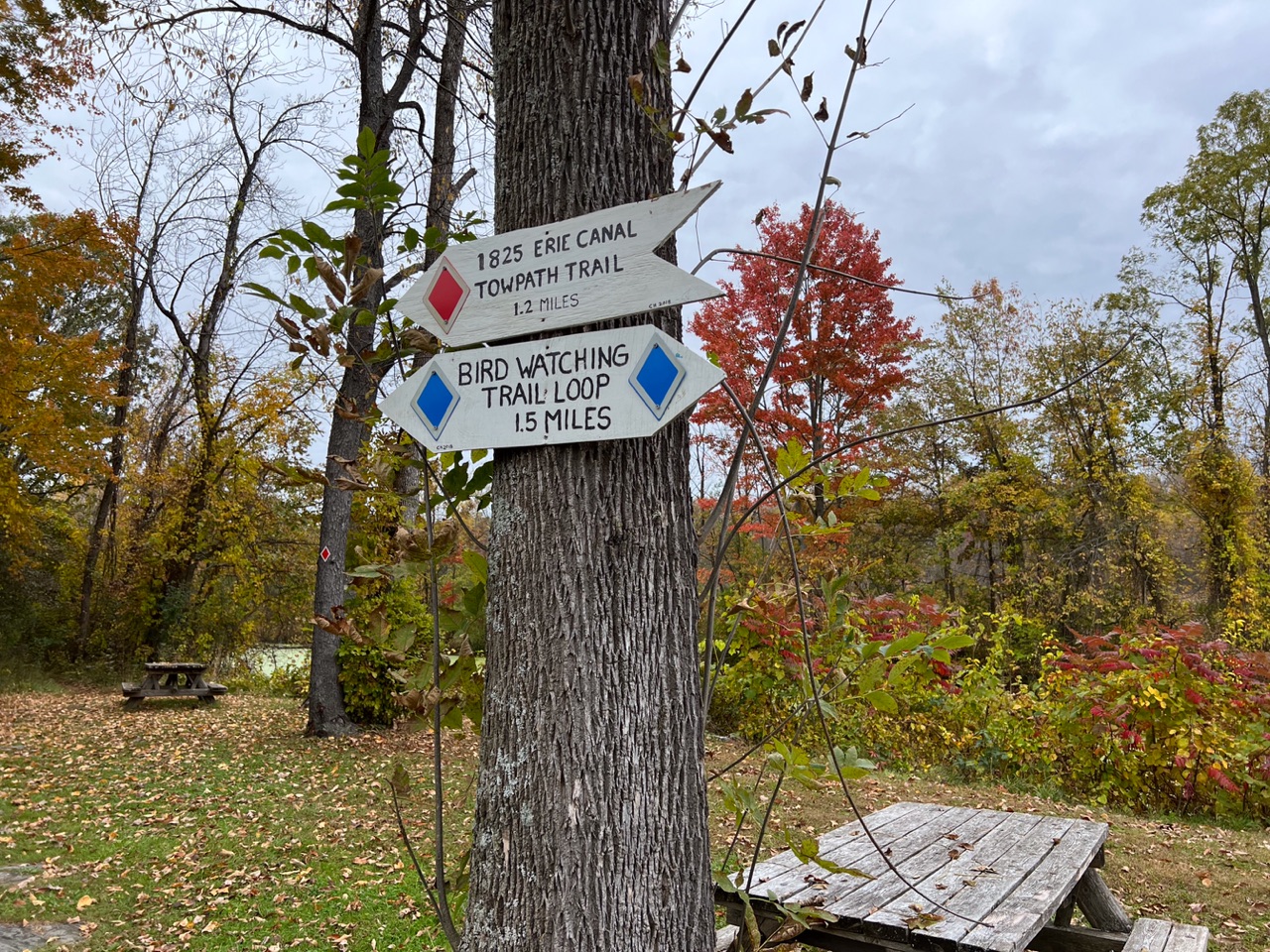






 I got them situated near the other Jacob sheep and hung my newly made sign (that includes my location). I delivered my entries in the fiber and photo contests (a whole suitcase full–it’s a good thing that Southwest allows two free bags). Then I went exploring.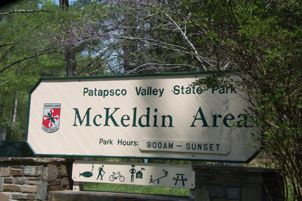
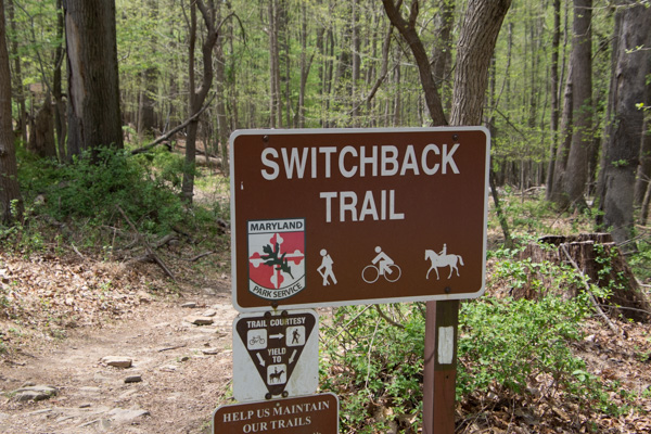
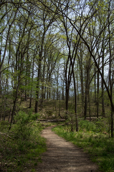 This was a pretty area. It was “mixed use” including developed playground and lawn areas, but I stuck to the trails. I was not dressed for the weather. According to the news it was 90 degrees on this day and we haven’t been that hot at home yet. Too bad I hadn’t brought shorts…although the ticks that I found later made me think that maybe jeans were better anyway.
 Dogwood. That’s one flower that I knew.


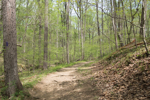 More of the trail.
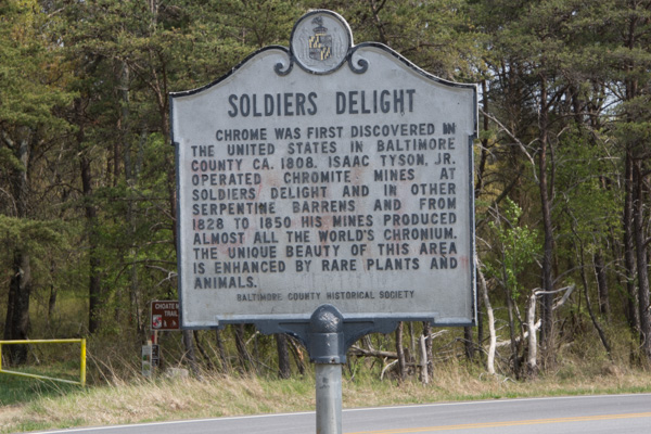 No one knows for sure why this place is called Soldiers Delight but the purpose for preserving it is the unique geology and ecosystem.
 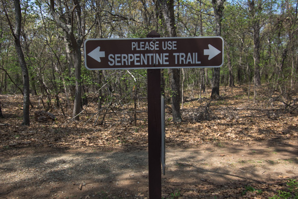 From Wikipedia: “The site is designated both a Maryland Wildland (1,526 acres) and a Natural Environmental Area(1,900 acres) … The site’s protected status is due to the presence of serpentine soil and over 39 rare, threatened, or endangered plant species along with rare insects, rocks and minerals.”
 “Weathered serpentinite is dissolved rock, transformed into thin, sand and clay poor soil which is easily eroded. This creates a land surface which is stony, unfertile and sparsely vegetated and is the reason that the term “serpentine barren” is used to describe these areas.
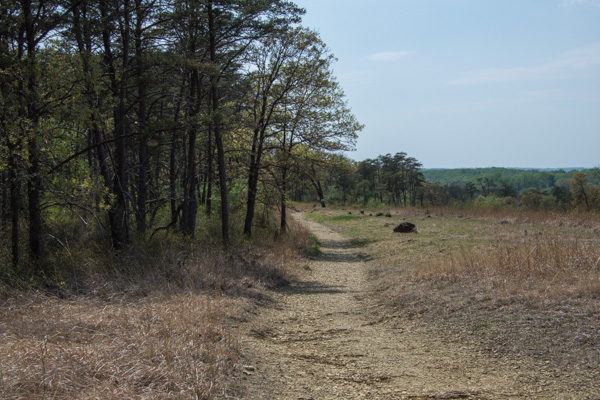 Signs explained that “the serpentine grasslands and oak savanna systems are now imperiled due mainly to the lack of American Indian and lightning fires which are critical to this fire-dependent ecosystem…The oak savanna ecosystem is one of the rarest communities in Maryland.” Over 90% of the less than 1000 remaining acres lies within Soldier’s Delight NEA.


 Praire warbler.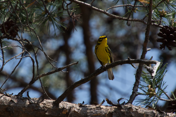
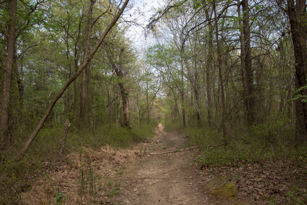 I hiked the 2-1/2 mile trail around the grassland area and came back up to the main road. I decided to take another trail that went to the chromite mines. Half way through this one I started to think that maybe I should have brought water…and food. I realized how hungry and thirsty I was. It was already about 3:30. Did I say that it was very hot? I started to have visions of having to be rescued. Or not–how would anyone know where I was? I also found a tick on my hand. Then I started to feel like there must be ticks everywhere. Forget those mind games. I was still enjoying the new landscapes.
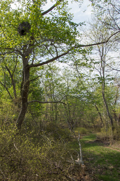 I happened to look up and saw this.
 Here is a closer view.
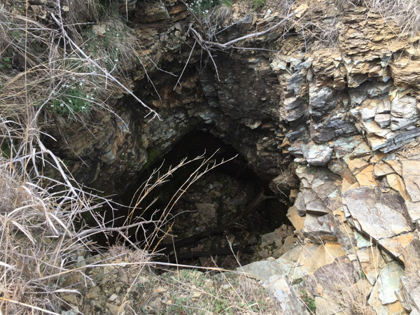 Along the way I found the Choate mine that operated from 1818 to 1888 and for a brief period during WWI. I had expected something bigger when I read the sign pointing to a pit mine (picture the massive mines I’ve seen in the west). It’s hard to imagine that it was a few holes like this produced the world’s supply of chromium.
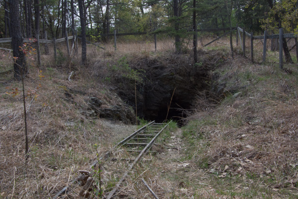 This is one of the other mines. I did make it back to civilization without mishap (and only one other tick).
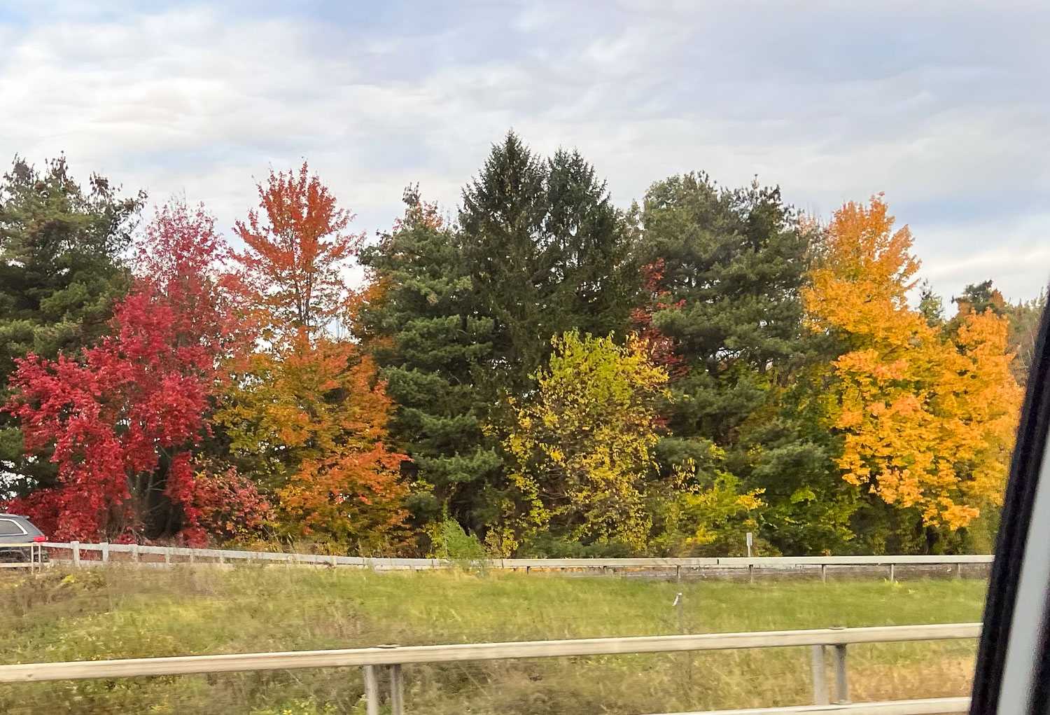
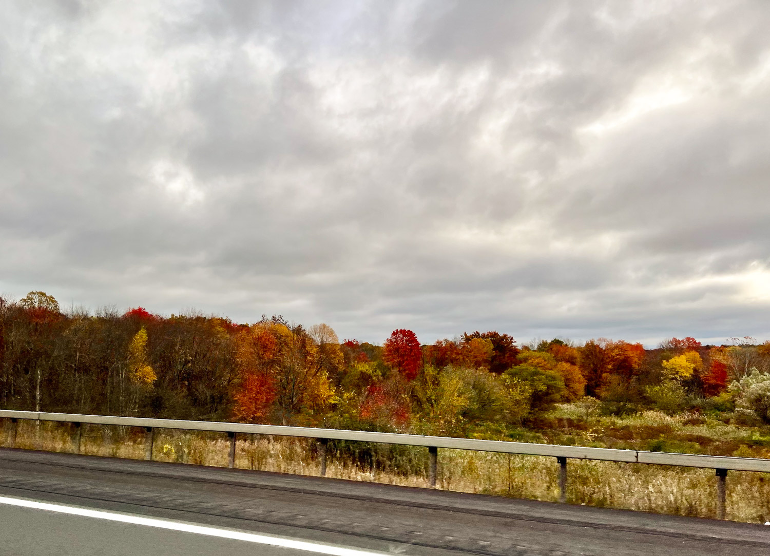
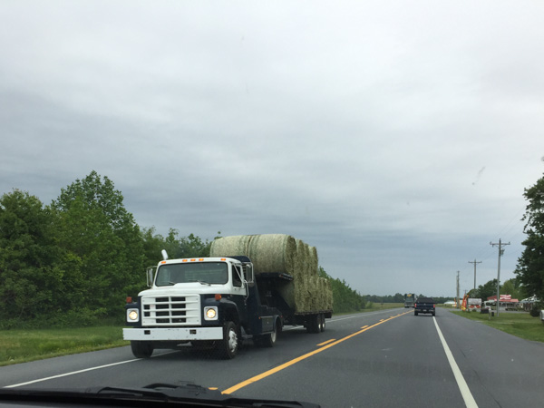
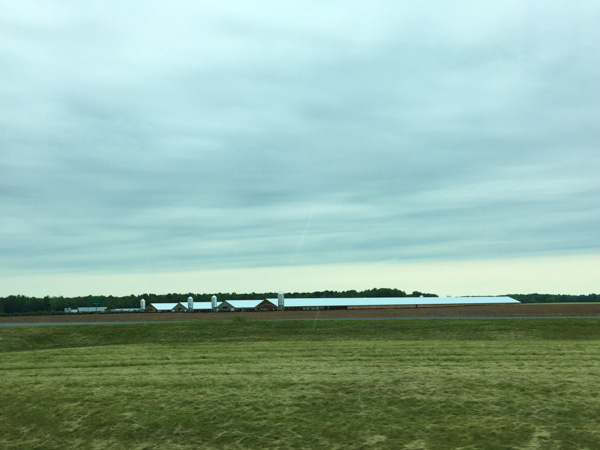
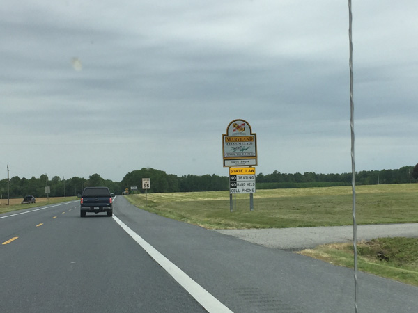
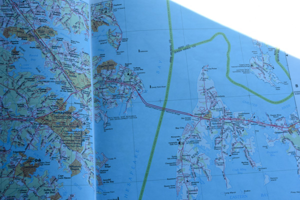
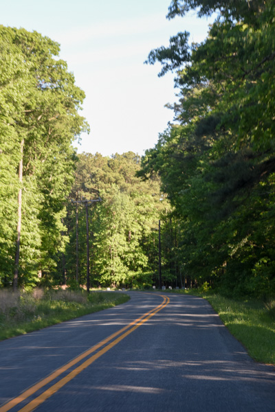
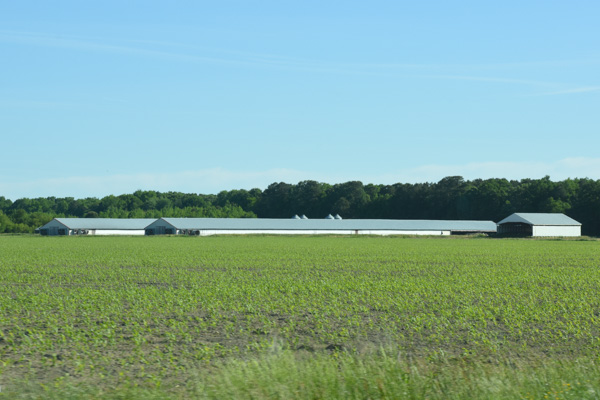
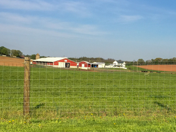 I didn’t want to take the main highways because I love seeing the farm country.
 I pulled over in a couple of places just long enough to get photos with my phone.
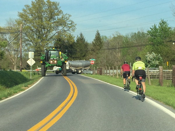 You can’t tell from this photos but that tractor is big enough that the car I’m driving could have almost gone right under it. I don’t know what crop that is for.
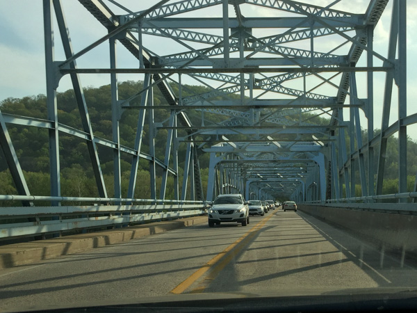 Crossing the Potomac River. I crossed a couple of times before I found the parking area for the National Historical Park at a place called Point of Rocks. (Actually I parked elsewhere and finally found this when I started walking toward the river.)
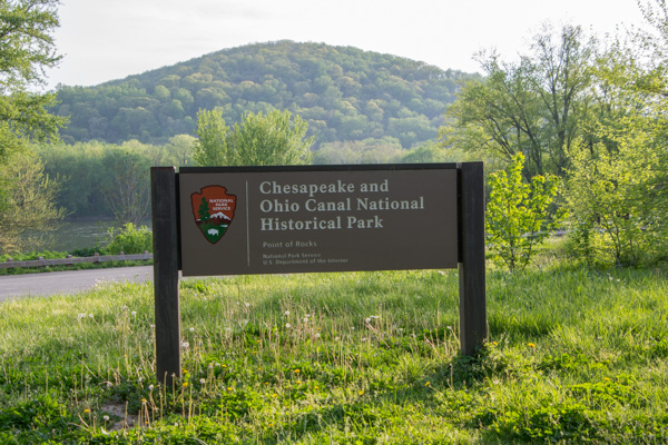 The C & O Canal follows the Potomac River for 184 miles and was used for about 100 years as a way of transporting lumber, coal, and agricultural products.
 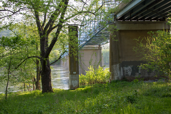 The bridge from below.
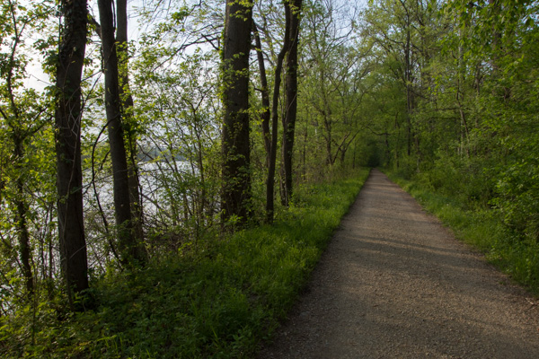 I walked along the towpath for an hour or so.
 Here is a tree I haven’t seen before. Flowers on the pawpaw tree.
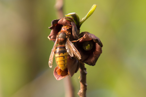 I don’t know what kind of insect this is but it is a big one.
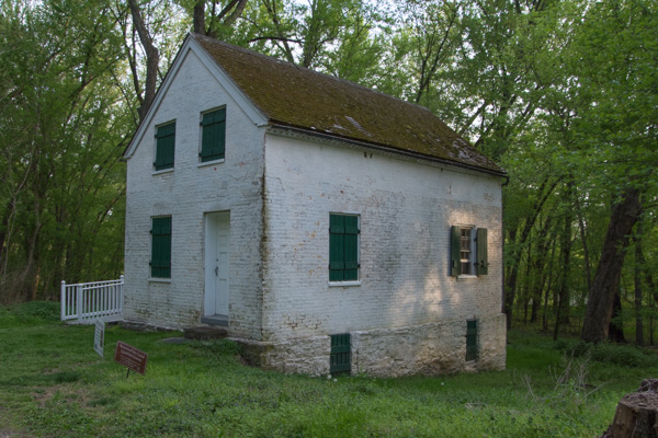 There are some lock houses still standing along the canal. These were houses provided to the locktenders who would be available to operate that lock 24 hours a day. This house, built in 1837, has been fixed up and is available for rent.
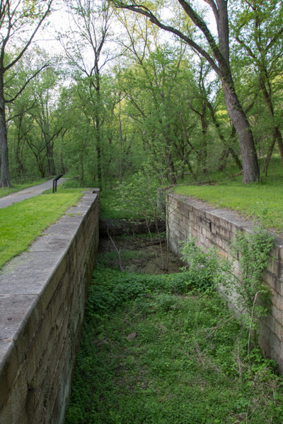 A view of the lock.
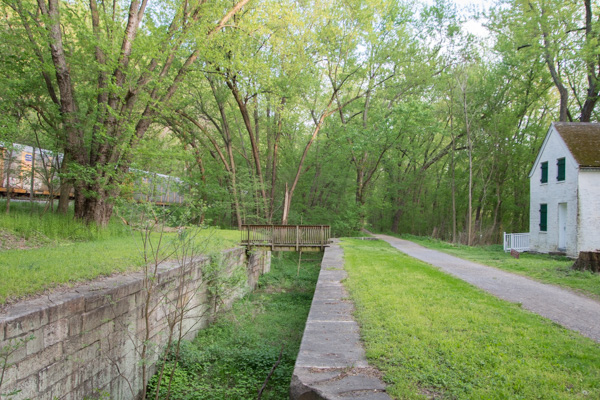 This photos shows the scale and proximity of the house, the canal and the railroad. Point of Rocks is famous because it is where the battle for the transportation rights played out. The mountain on one side and the river on the other left a narrow strip of land. “Both the C&O and B&O [railroad] fought in court for primary access to this “point of rocks.” The C&O won but the two companies compromised, sharing the narrow passage from here to Harpers Ferry.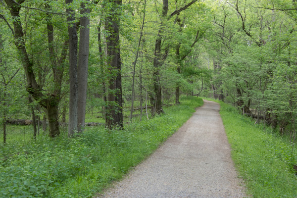






















 Meridian Jacobs' Blog