In the last post did I say how cold it was when we went to bed the first night in Yellowstone? The cold plus the bison in the campground make me wish that I didn’t have that middle-of-the-night call of nature. However, maybe that’s a good thing because it was starting to rain and I shut the tailgate and the camper window. When everything is shut up it is warmer inside, but it is also stuffy and the windows get wet with condensation. There are trade-offs and stuffiness is probably better than feet in a wet sleeping bag especially when the temperature dips into the 20’s. The green truck is too old to show the temp but that’s what my iPhone said when I asked. So instead of rain we had snow during the night. Not a lot, but nevertheless, snow. Once again we didn’t linger over our breakfast of instant oatmeal but got in the truck and turned the heater on.
I chose way too many photos for this day’s blog and I should cut some out, but I probably won’t. I like blogs that are mostly photos…
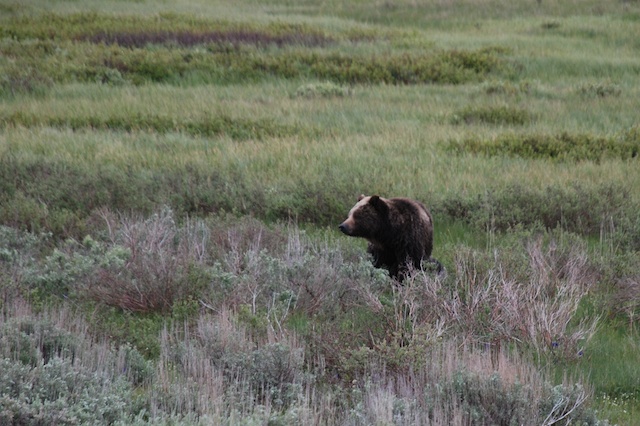
Our plan for this day was to drive the northern loop starting with Mammoth Hot Springs and ending with the Grand Canyon of the Yellowstone. Not far from the campground we saw our first grizzly bears – from the safety of our truck. (Even though I have been told by blog readers that the bear we saw in Grand Teton was a grizzly bear and not a black bear we thought it was a black bear at the time and I prefer to think that we were hiking with black bears, not grizzlies.) The one on the left was eating a carcass of something and was wearing a collar. They were being watched by a park biologist. I wonder if the park personnel always keep track of bears that are collared and monitor them when they show up near a road? One thing that we learned quickly is that being a Park Ranger in Yellowstone means Wildlife Traffic Patrol. Do you know an easy way to spot wildlife?
 Just look for parked cars and people walking along the road.
 It didn’t take long to find more bison…
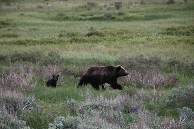
 …and more bears. This one wasn’t alone.
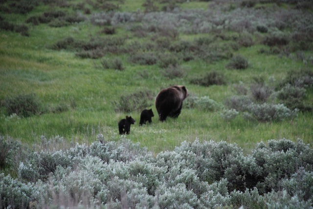
 I know, the sagebrush is more in focus than the bears, but that may be my last grizzly bear photo.
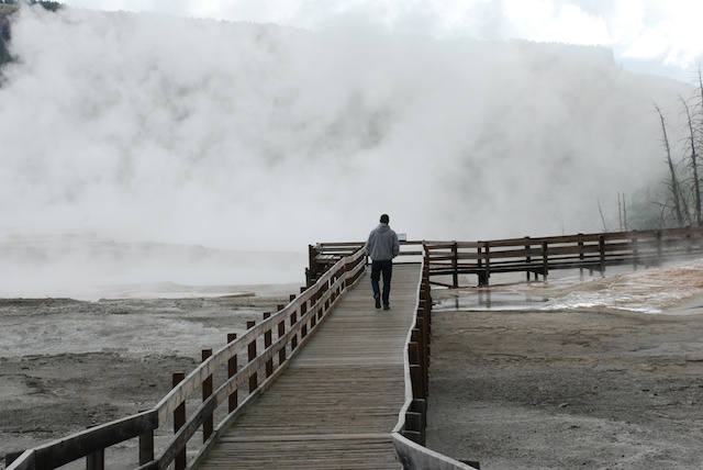
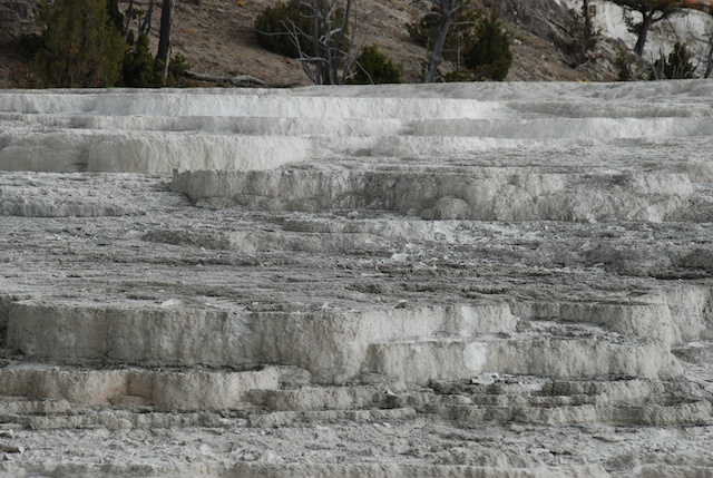
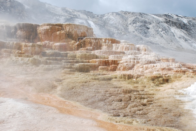
It was still early and when we got to Mammoth Hot Springs Terraces the weather was not looking good. It was cold and windy and during our walk along the boardwalk trails it started snowing. But the changing conditions only made the views more dramatic.


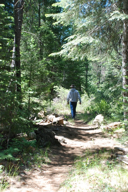
 We didn’t hike any long trails on this day but there were many shorter hikes.
 There were people stopped on the road watching a black bear when we got out of the truck to take a half mile trail to see Wraith Falls. Dan was trying to decide if the bear was still entertaining people on the road or had retreated in our direction. Note bear spray with orange cap in the backpack pocket.
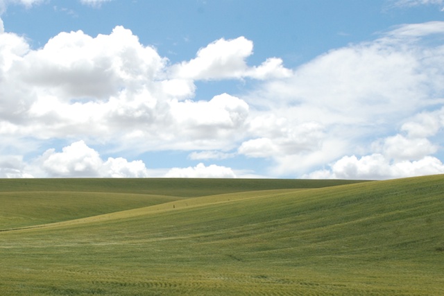
There are several one-way roads that you can use to get off the main road.  Blacktail Plateau Drive is one of them and the scenery is majestic.
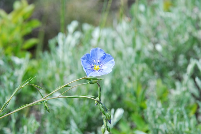
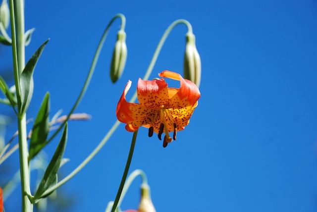
 To my surprise Dan asked if I wanted to stop and take flower photos. I am usually teased about this habit. This one is wild flax.
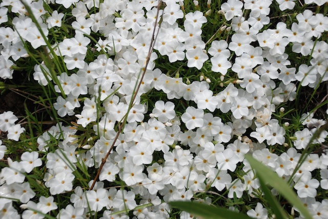
 Phlox.

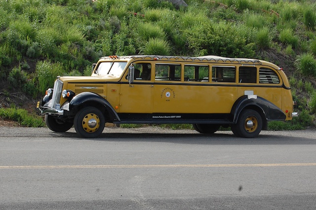
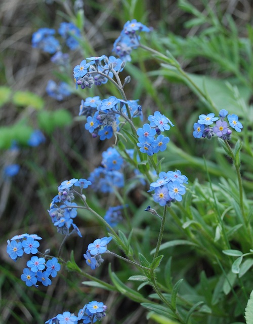
I wish I knew what this flower is. From a distance it looks like single blue flowers. It’s only when you get up close that you see that it is lots of little tiny flowers. We stopped at another waterfall trailhead and Dan took this photo of a 1936 touring van that he had just read about. These were canvas topped vehicles used in many of the national parks. They seated 14 people and in cold weather (at least in the northern parks) they provided Pendleton wool blankets for the passengers. At least some of the vehicles were used into the 1990’s when they were just too old to keep running. The Park Service replaced the old vehicles with modern Dodge vans but the visitors wanted the old touring vans. So they are on the road again but Ford kept just the top part and replaced the chassis (and all the important things like brakes) with new parts.
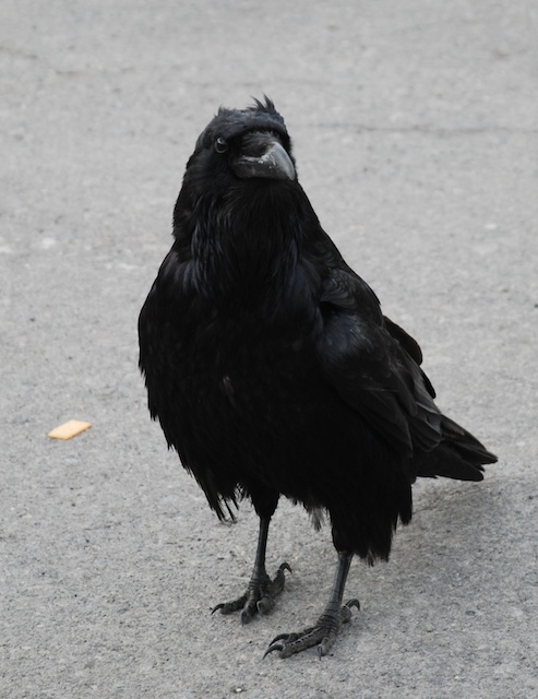
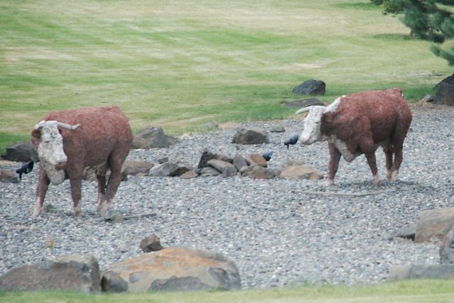
Speaking of vehicles it seemed as though each of the parking lots at the main attractions had it’s own sentry. This one was eating crackers.
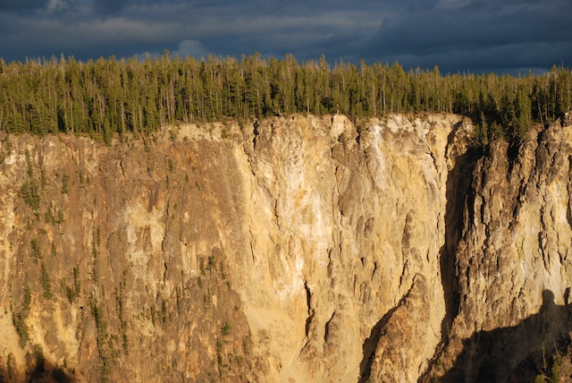
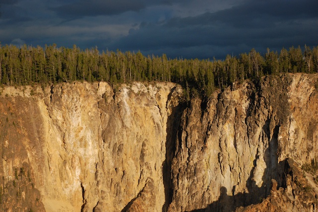
It was getting late in the day by the time we got to the Grand Canyon of the Yellowstone. There are several access points and trails on both the north and south sides. We knew that we didn’t have time to hike all the trails, but we went to all the overlooks and walked a few of the trails.  We took Uncle Tom’s trail to a viewing spot of the Lower Falls. Writing this blog I’m in a tank top and shorts with the fan on and it’s hard to remember that just 10 days ago I was bundled in two layers of wool, my Carhartt jacket, wool hat, and gloves.
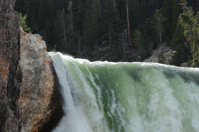
  Originally this trail had over 500 steps and rope ladders. Now it has only 328 steps and no ladders.
  The trail no longer takes you all the way to the bottom but you still hear and feel the power of the water cascading over the rocks. I love the green color of the water here.
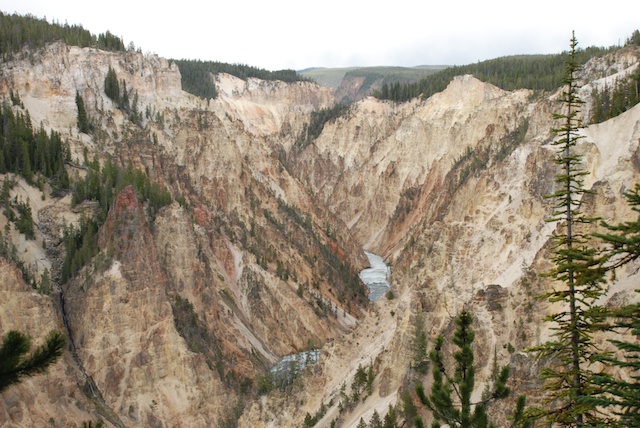
 This is a scene of the canyon and the river taken from another viewing area. Simply majestic.
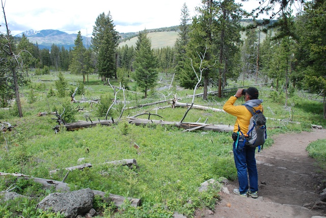
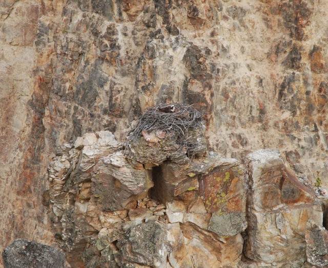
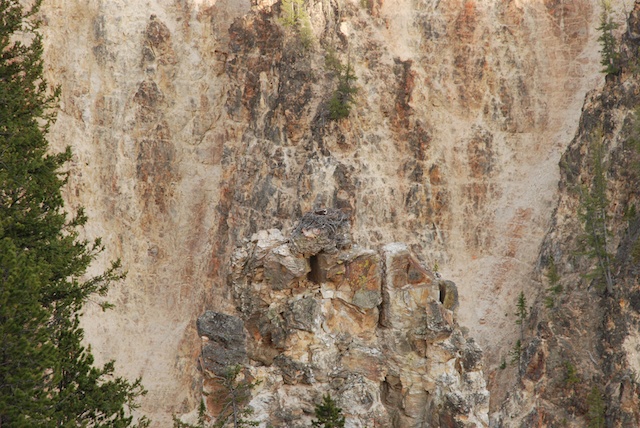
 I don’t think that I would have spotted this osprey nest except that some other people were looking with binoculars.
 See what I mean? The top photo is a close-up of this one.
 Another beautiful evening. Again we got back to camp at dusk, ate a couple of cans of beans and went to bed.
Next post: On the road to Oregon

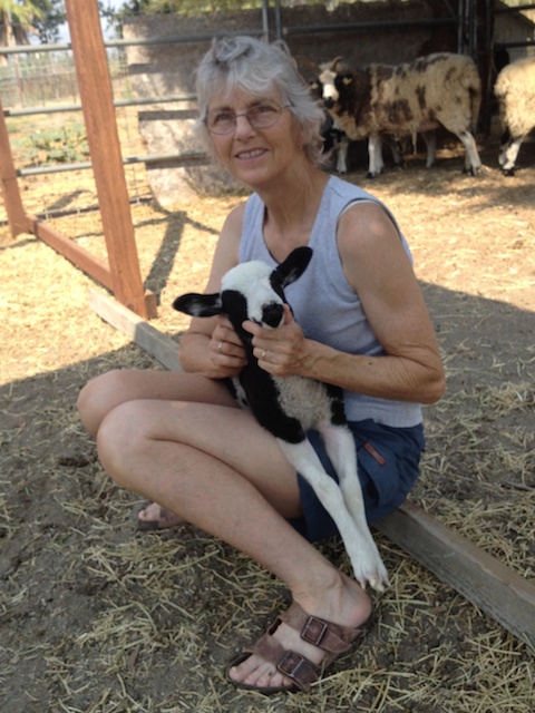
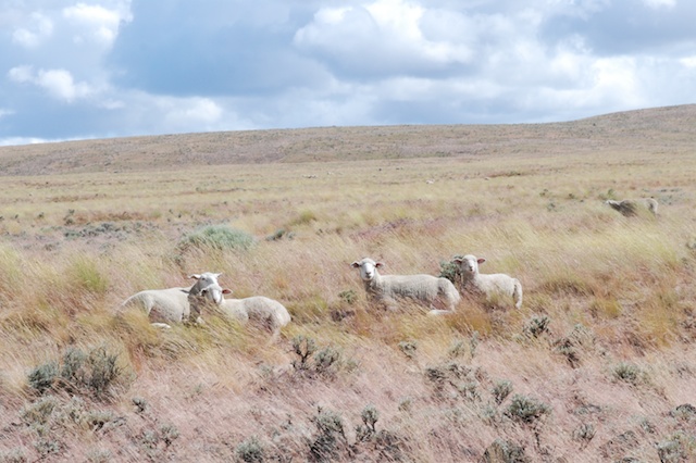
 Here are some sheep who posed for portraits (and, for those of you who care, some ancestry info).
 Yearling, Sophia (Kenleigh’s Matrix x Meridian Jazz)
 Yearling, Cascade (Meridian Miller x Meridian Sierra)
 Yearling, Mae (Meridian Miller x Meridian Mary). She must have been looking in the mirror when she wrote the number on her tag?
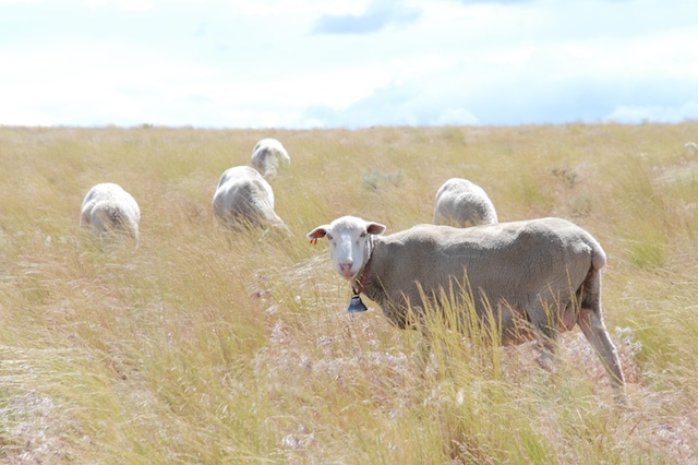
 5-month old BFL cross who I am keeping. No name yet. (Faulkner x Dazzle)
 5-month old lamb who may stay here. (Meridian Miller x Meridian Vicki)
 5-month old lamb who I want to keep (Meridian Hendrix x Meridian Alison)
  Someone is hiding behind the dallisgrass.
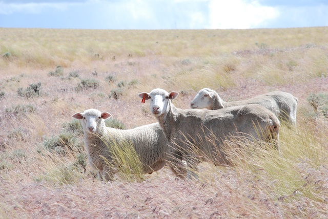
 This is two year old Onyx, a BFL cross.
  This is one of the newest members of the flock. (Meridian Miller x Meridian Donna.) Six lambs were born in July at the State Fair.
 This is her brother.
 This is a gorgeous lilac ram lamb (Meridian Alex x Meridian Phyllis), just what I’ve been waiting for….except those horns on his right are growing together and his horn set will be horribly asymmetrical. He won’t be registrable.
 Out to the pasture. “Mom!”
 “MOM !!!”
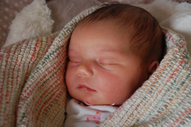
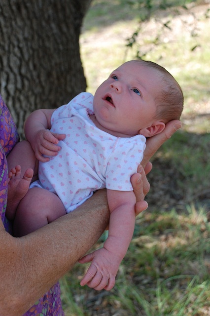
 I won’t share my family’s personal moments and info here, but surely I can share a few photos of my granddaughter…and I know that there will be more from here on out.
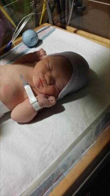


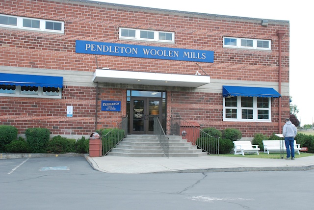
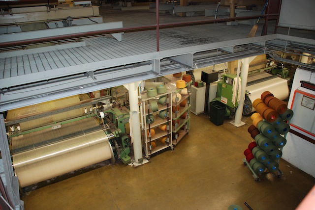
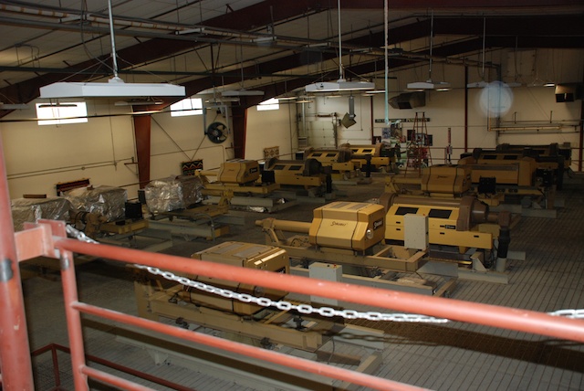
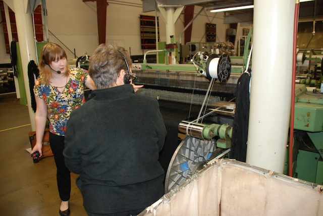
 There were about a dozen people there for the tour even at 9 a.m. on a Monday morning. It was interesting to see the workings of the mill but now I have a lot of unanswered questions. We all wore headsets so that we could hear the tour guide over noise of the mill machinery but that meant that there was no opportunity to ask questions while we were walking. And the tour was fast. I would have liked to stop and watch what was going on with each loom. Now that I’m looking at my photos I realize that I have even more questions about what I was seeing. I guess I’ll just have to go back!
 The Mill uses Rambouillet wool from Oregon and surrounding states and Merino wool from New Zealand and Australia. The wool is scoured in Texas and then comes to Oregon for spinning and weaving. The carding and spinning equipment was on the second floor. That room was quite humid. The guide told us that high humidity lessons the quantity of airborne particles so employees don’t have to wear dust masks. Now I wonder if that is the main reason for the humidity or if it makes carding and spinning more efficient (or both). The photo above shows the carding equipment operating behind plexiglass.
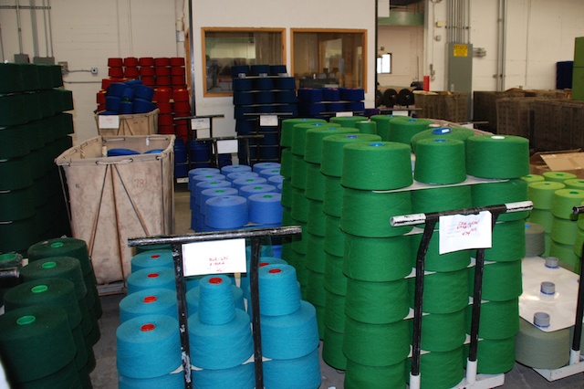


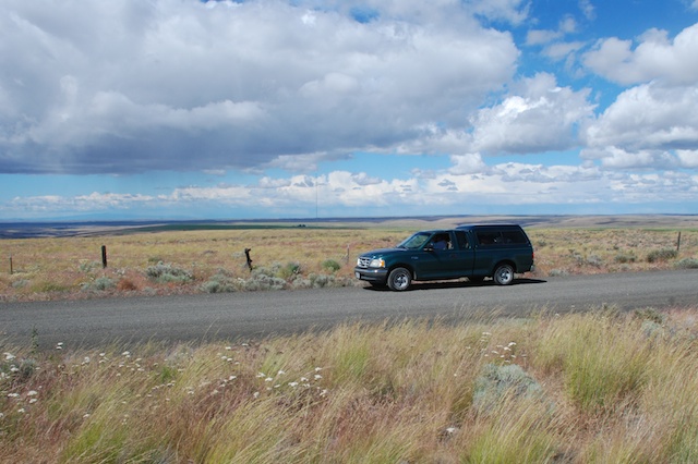
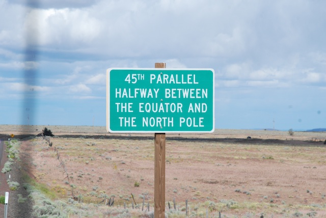
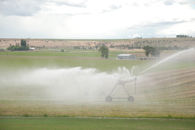
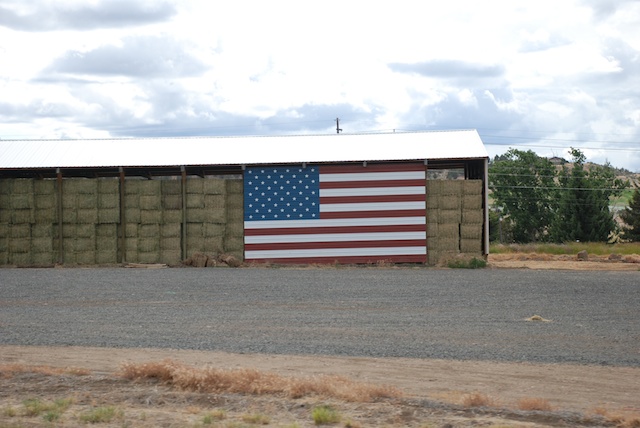
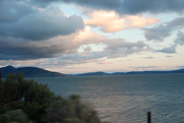
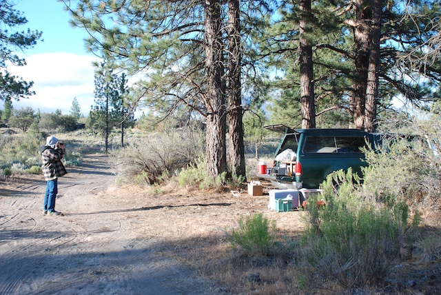
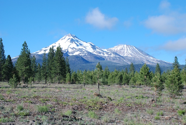
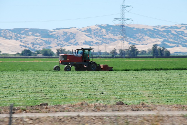
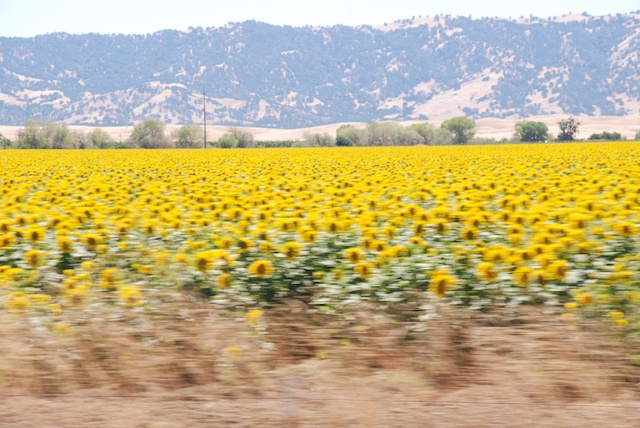
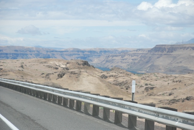
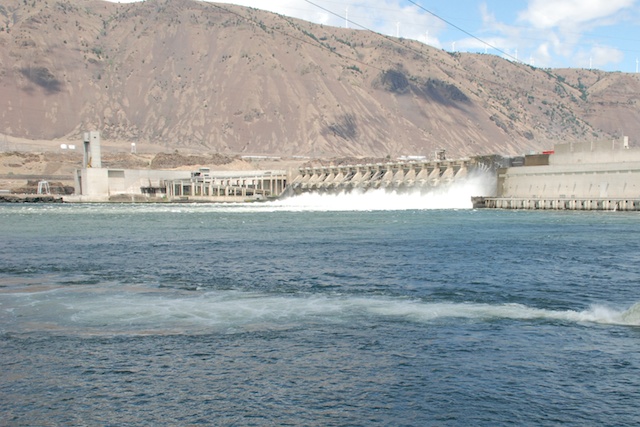
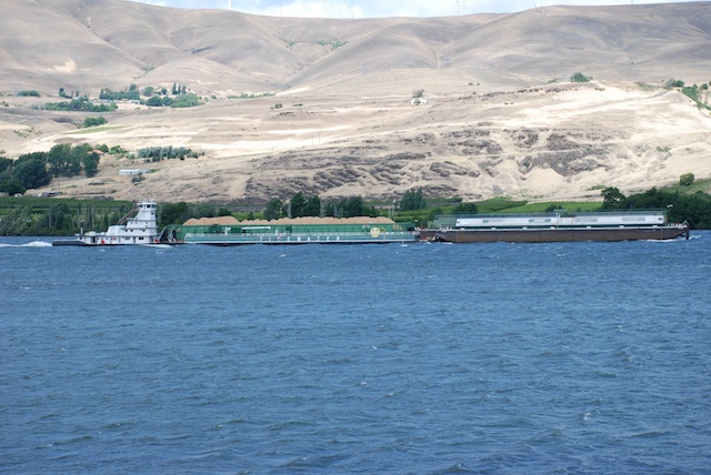
 We were entertained by following our map books. We started out with California and Nevada. I think we picked up Idaho somewhere on the way. Later we found Montana and Wyoming in a used bookstore in Jackson, WY. Eventually we found Oregon in a bookstore in Pendleton. We found these books to be a way to keep the travel interesting even in the broad stretches of “nothing” in the high desert landscapes. There are always geological formations, land features, mines or mountain-tops with names and the books offer much more detail as far as land ownership and dirt roads than regular road maps. The books came in particularly useful when we wanted to camp along the way and find roads into Forest Service land. (Yes, I also have an iPhone and I use it, but there is not always service and sometimes it’s just easier to see the whole thing on one page.)