Farm Club Summer Retreat 2026…including some digressions that could be their own blog posts…

Every year since 2011 (except for a couple of COVID years) Farm Club members have gathered in San Francisco for a getaway. In January 2026 we gathered for Retreat #13 and we enjoyed it so much we talked about planning another retreat for the summer. So I guess this is Retreat #14 or Summer Retreat#1. There were twelve participants this time and prior to gathering we sorted into carpools groups depending on geography. Four of us in the I-80 corridor group (Sacramento to Fairfield) drove west to enter San Francisco across the Golden Gate. We made a couple of stops on the way. An unplanned spur-of-the-moment stop was at Dharma Trading Company in San Rafael, a wonderful resource for all dyeing projects.
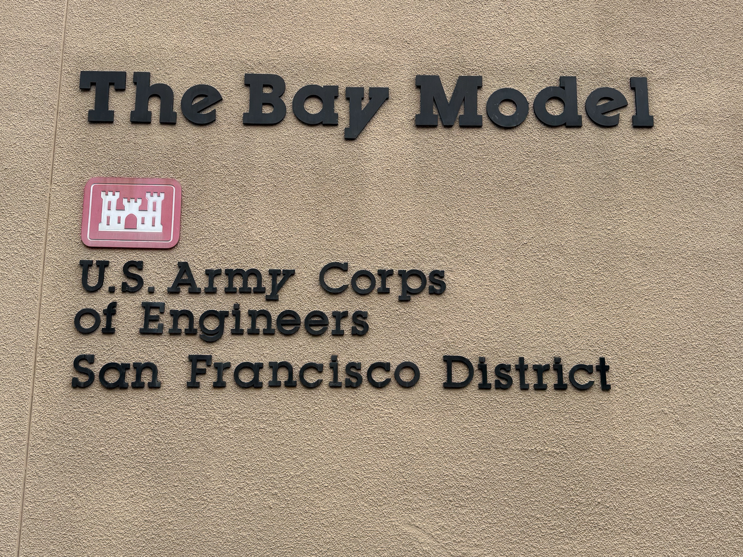
Lettering on wall, "The Bay Model, U.S. Army Corps of Engineers"

The next stop was The Bay Model, a place I had read about recently and wanted to see. It is just what the sign says, a model of the San Francisco Bay. I think I may have been here a long time ago but had very little memory of it, and there is much more to it now, at least from a visitor point of view. The original function was as a research tool to examine tidal movement before there was computer simulation. After 2000 the focus shifted to education and the facility has developed into a fascinating educational tool, demonstrating the tidal movements of the Bay and Delta.
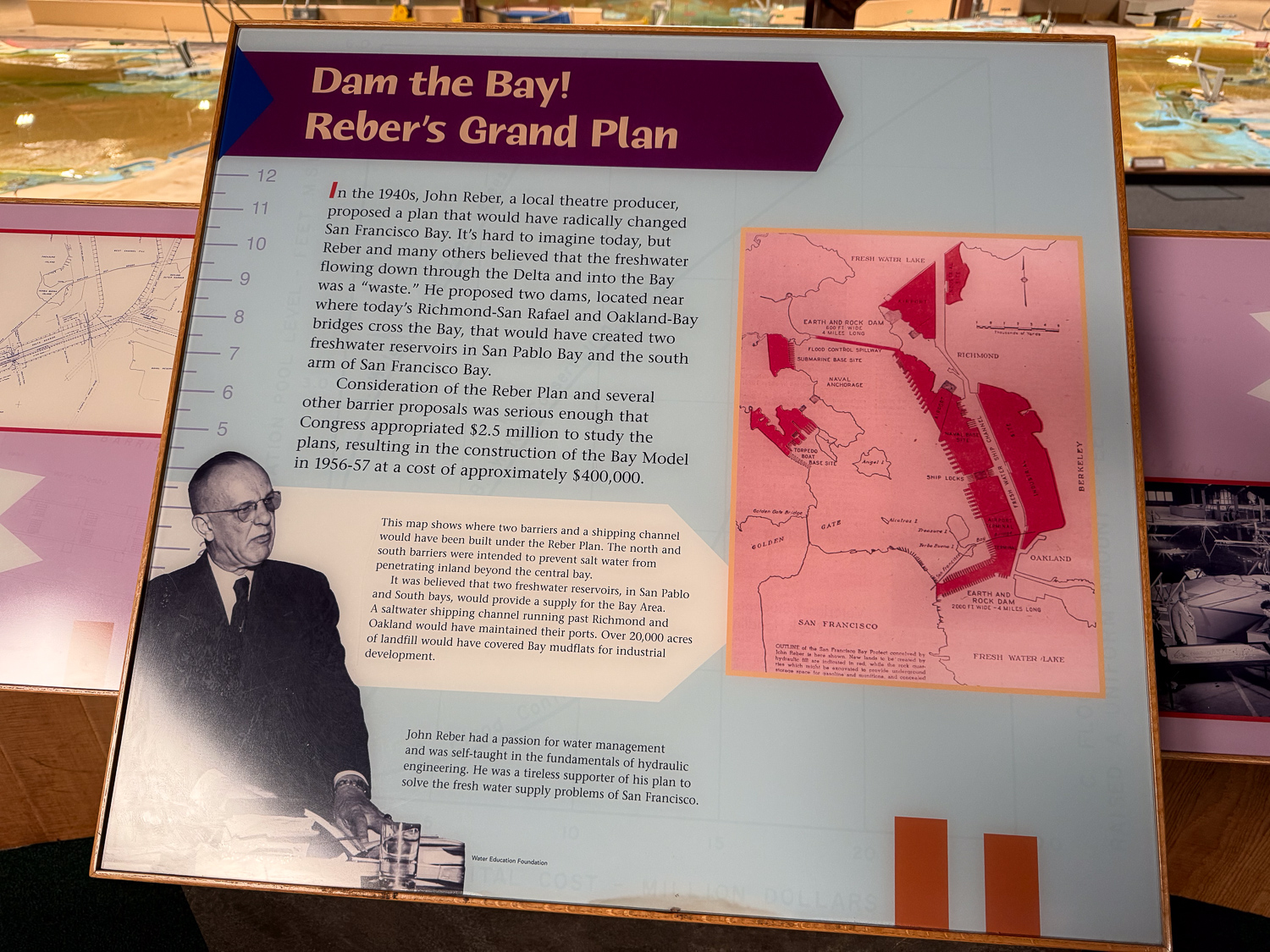
The background story is amazing (in a horrifying way) to me. There was a proposal in the 1940’s to build two dams where the Sacramento and San Joaquin Rivers enter San Francisco Bay to create freshwater reservoirs and to cover mudflats for industrial development. The idea was taken seriously enough that this model of the Bay from the ocean to Suisun was constructed in 1956-57. The Sacramento-San Joaquin delta portion was added in the late 1960’s. The model is the size of two football fields and is in a three-acre building that was part of a shipbuilding facility during World Was II. The model reproduces the tides of the Bay (about 24 hours) every 15 minutes.

We had less than an hour to visit before the facility closed. In that short time I gained perspective that I had not learned in all the years I’ve lived in northern California. The first was the idea I described above, and the reason this model was constructed.
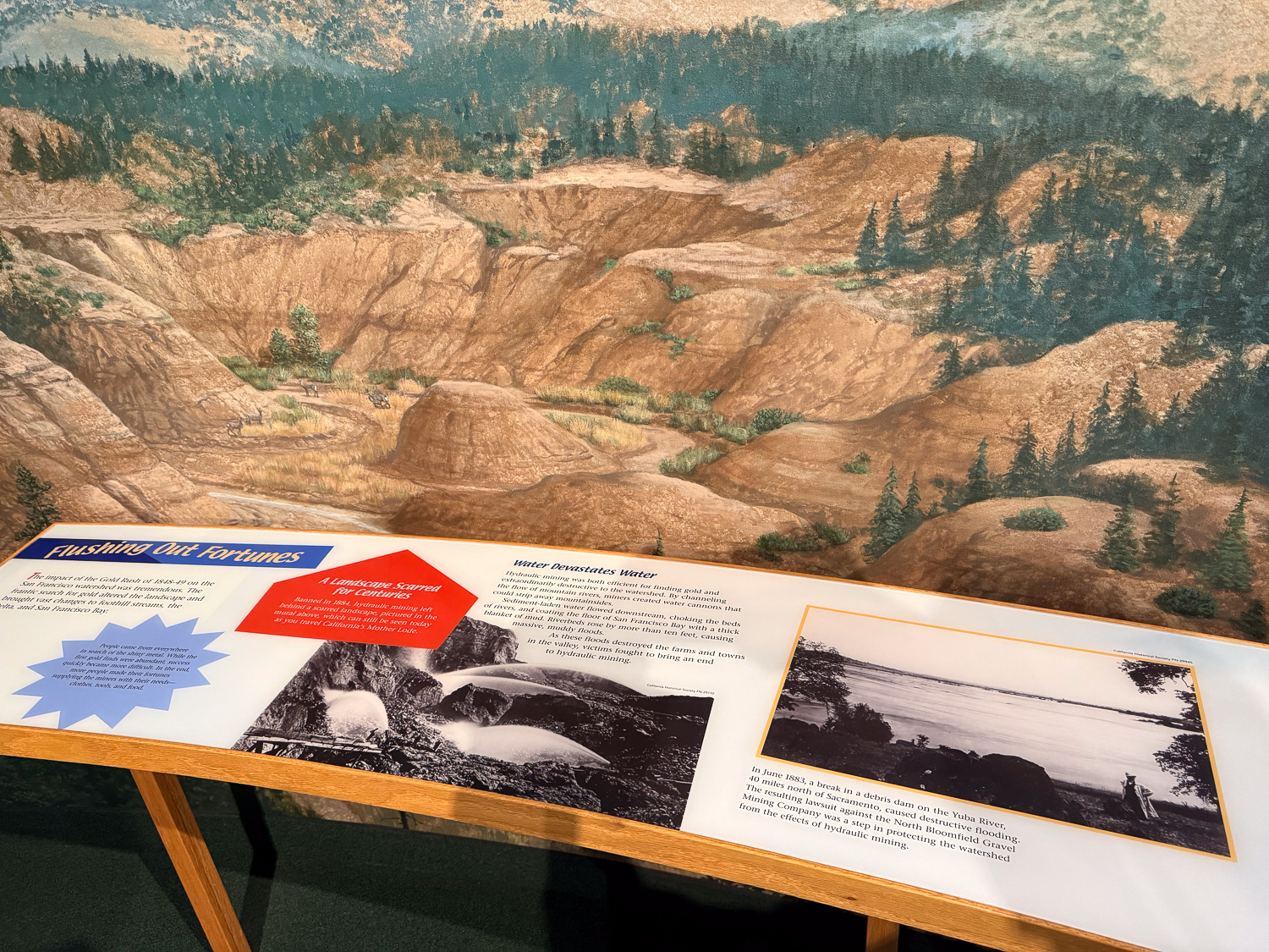
The second is part of a well-known episode of California history. There is a mural as you enter the exhibit that portrays the destruction caused by the California Gold Rush of 1848-49. From the sign: “Hydraulic mining was both efficient for finding gold and extraordinarily destructive to the watershed…Sediment laden water flowed downstream, choking the beds of rivers and coating the floor of San Francisco Bay with a thick blanket of mud.” We all learn about the Gold Rush in school, and I have seen the still-remaining evidence of this in the foothill landscape but I hadn’t thought of the impact downstream all the way to San Francisco.

I can’t help but relate these events to the current proposals we face in Solano County and on the federal level that are led by greedy, money/power-driven people that will destroy the environment…but now I really digress. This is supposed to be about the Farm club weekend.
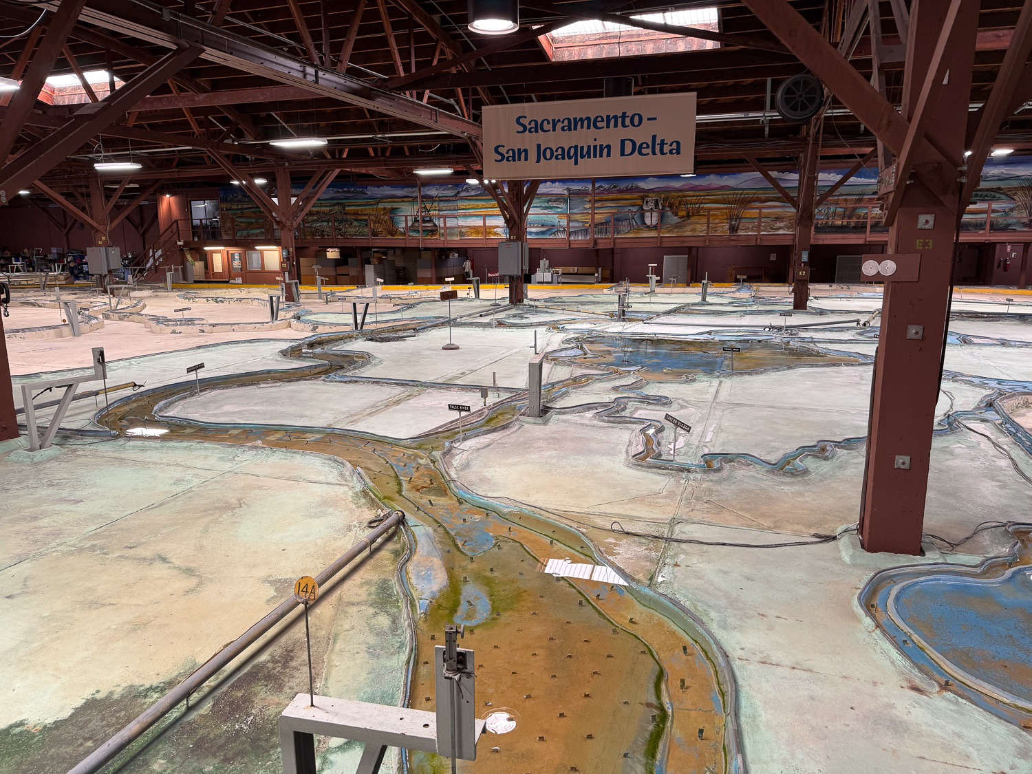
One last photo of just one part of the Bay Model. It was close to closing time and the water flow had been turned off. I want to go back and take more time to fully appreciate this incredible exhibit.
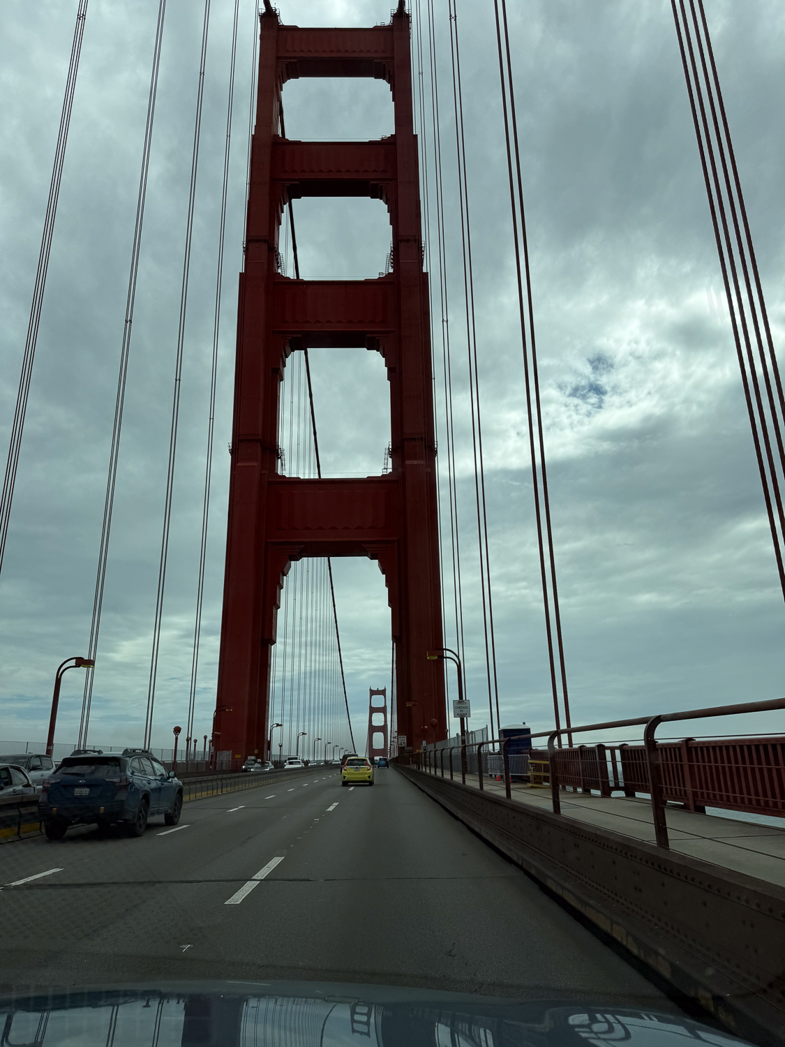
Crossing the Golden Gate to enter San Francisco. Learn more about our destination, the NDGW Home, in the link at the beginning of this post.
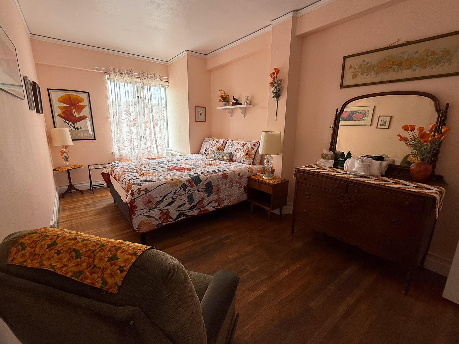
Bedroom with wood floor and poppy themed decor.

This is the room I was assigned. It has a California Poppy theme. As usual we spent the evening in the parlor spinning or knitting or working on other fiber crafts.
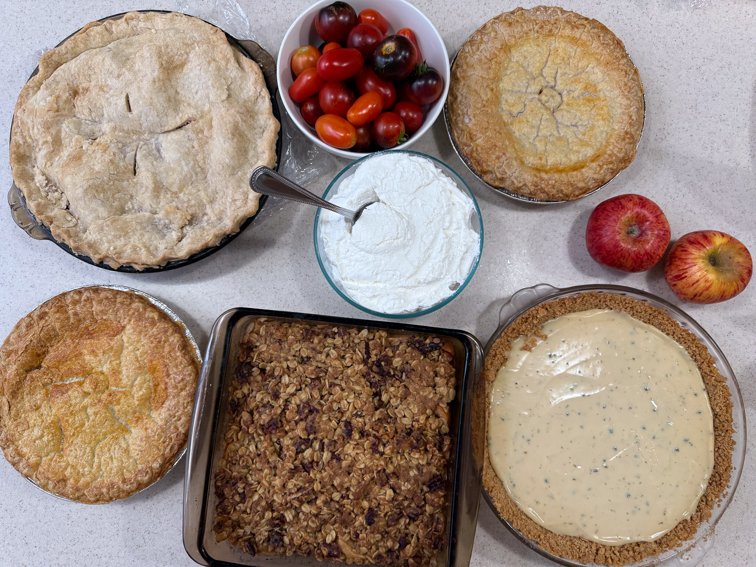
Four pies, an apple crisp, bowl of whipped cream, and tomatoes.

Our traditional breakfast is pie and there was no shortage this time. Pies include peach, berry, and key lime, and an apple crisp. I included freshly picked tomatoes along with a peach pie.
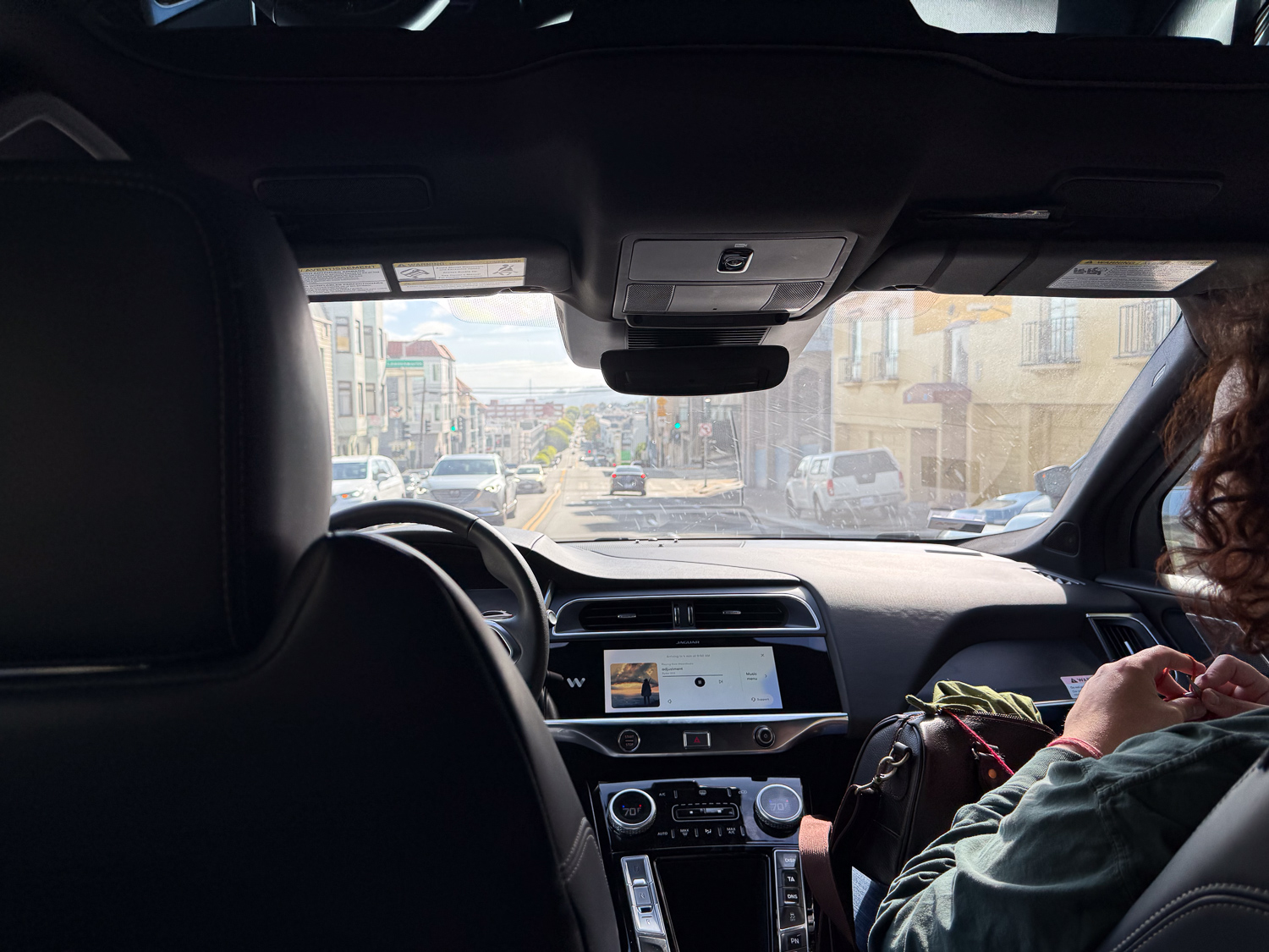
After breakfast six of us made our way to Alcatraz. The significance of this photo is that there is no one in the driver’s seat. This is Waymo! That’s a new experience.
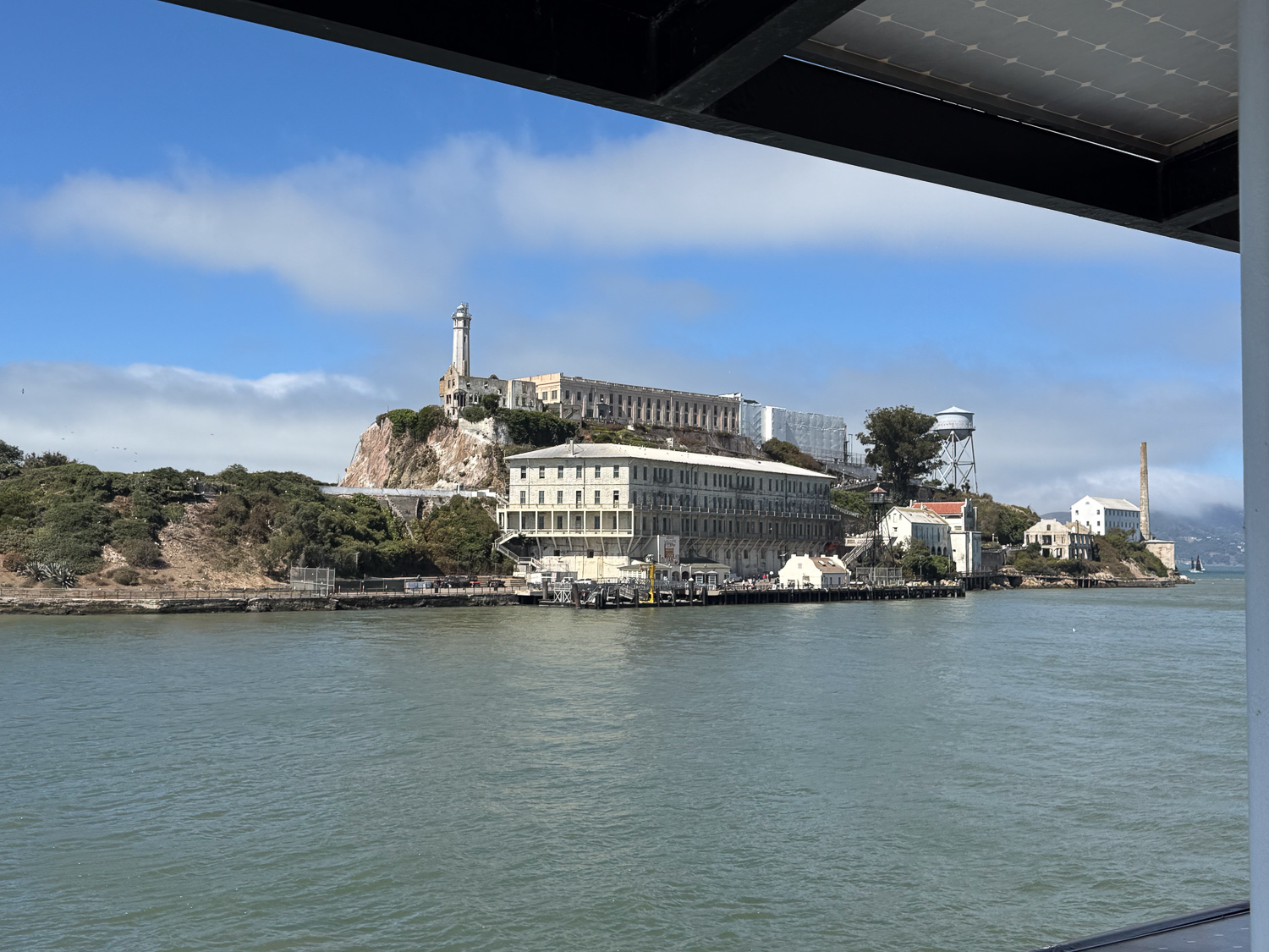
View of Alcatraz Island from the water.

We took the ferry to the island.

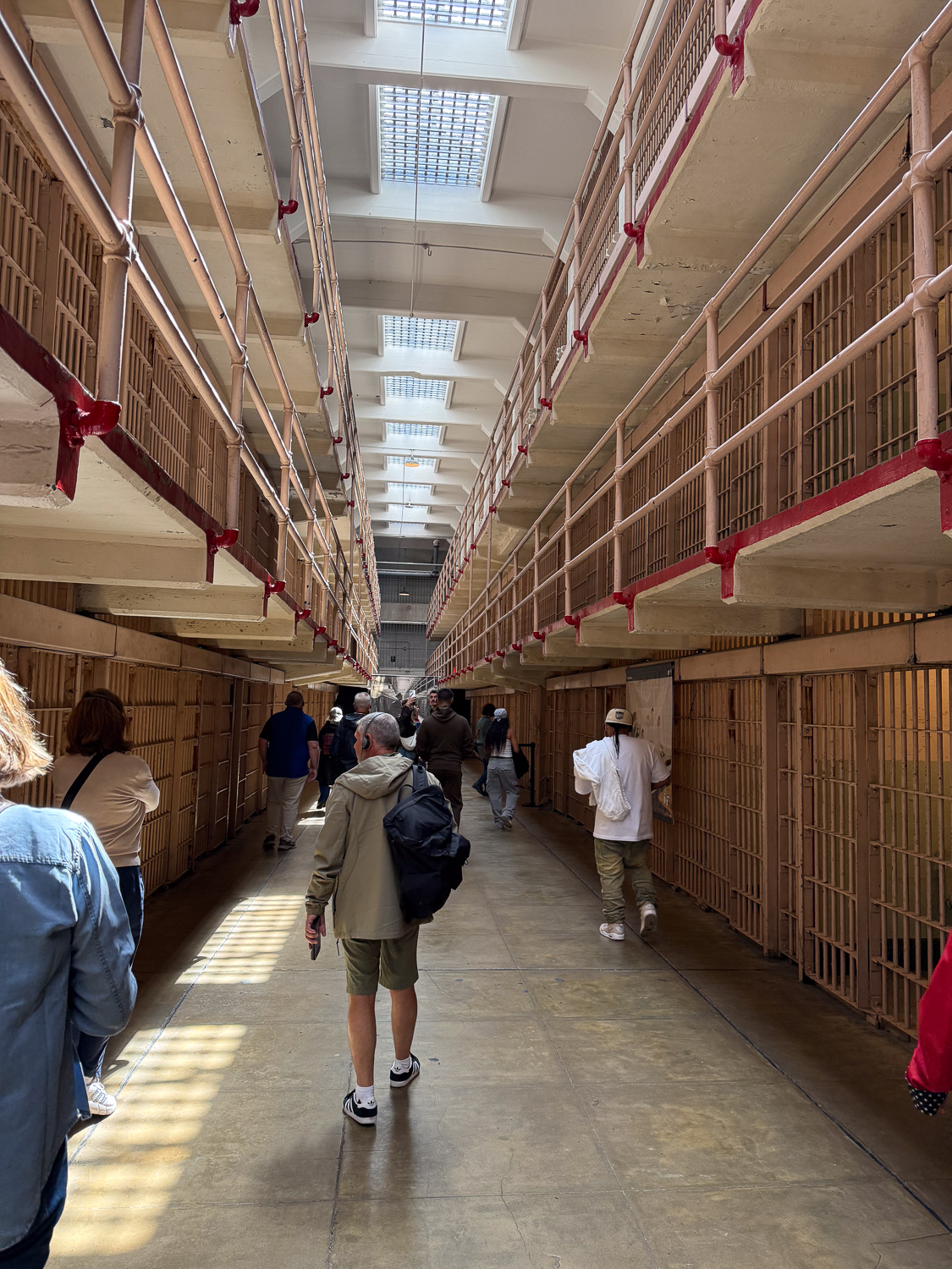
Inside Alcatraz cell block, view of cells on two levels.

We first took the self-paced audio tour of the Cellhouse and then explored the rest of the island and other exhibits for a few hours. Alcatraz has a history prior to the relatively short era of being a federal maximum security prison. It was probably visited by Native Americans long ago, but in the 1850’s it became a fort and a military prison. It was transferred to the Department of Justice in 1934 and operated as a federal prison until 1963. I could digress again about Things I Should Have Known. There are thought provoking exhibits about the U.S. Rate of Incarceration (the highest in the world, by far), the Termination Policy and the Relocation Act of the 1950’s that removed Native American people from the remaining tribal lands, the Native American 19-month occupation of Alcatraz beginning in 1969-72, and more. We wondered how long these exhibits will be allowed to be in place if anyone in D.C. learns about them. This is California, so are we safe? I have digressed again.
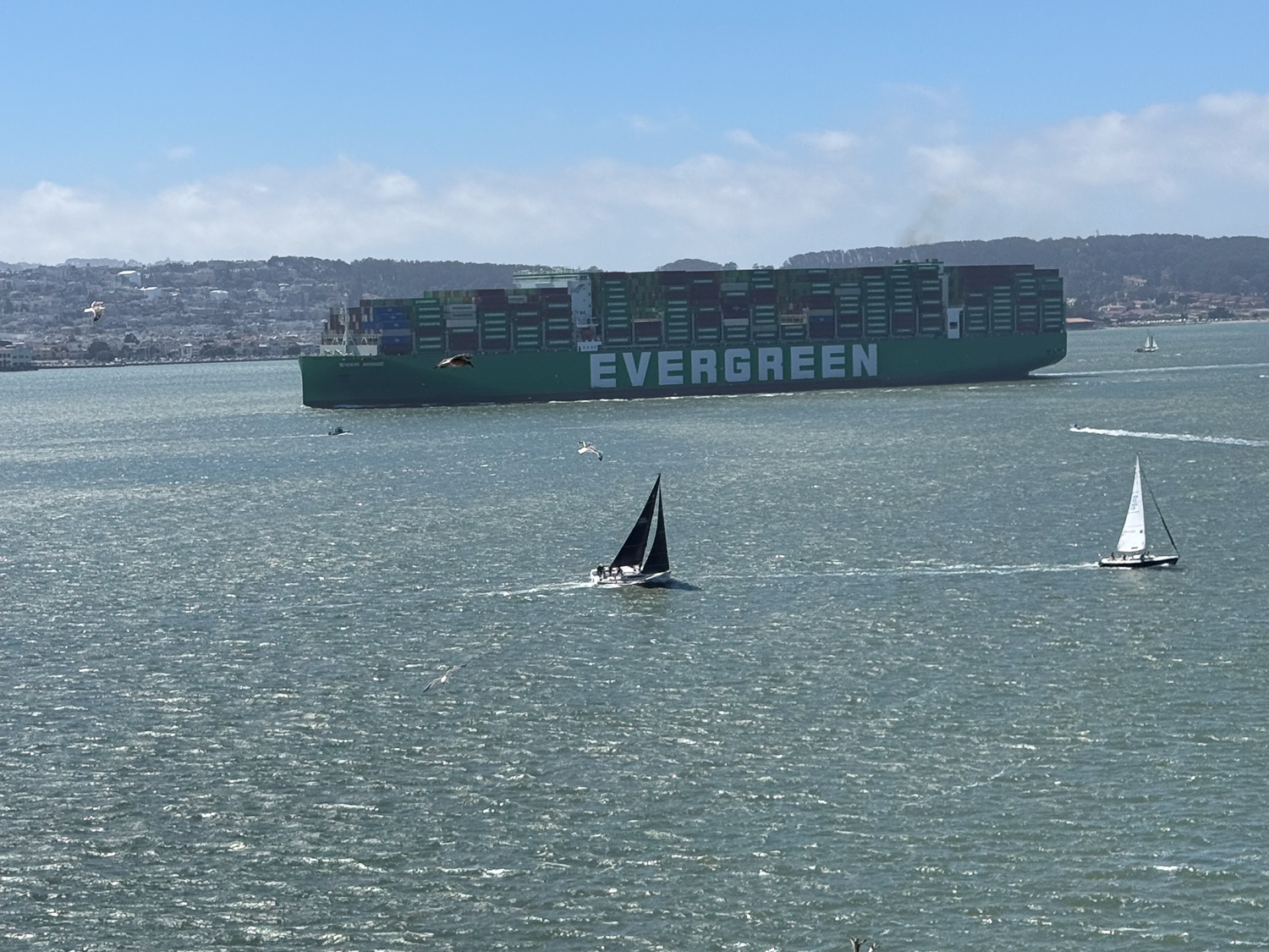
Large container ship, labeled Evergreen, in the bay with sailboats in the foreground and San Francisco hills in background.

We spent time exploring other accessible parts of the island and caught this view of a container ship heading to Oakland, where we saw it docked on our way home the next day.
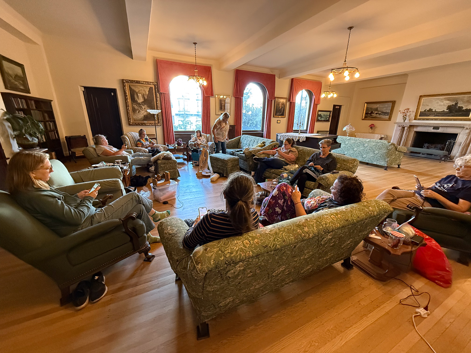
People seated on couches and chairs arranged in a circle in large room with wooden floor and arched windows.

After our Alcatraz tour we Waymo’d (is that a verb?) to Haight Street for a shopping experience and then walked back to the Home where we spent the rest of the day. We had moved furniture to expand our circle. Everyone is on their phones in this photo because we were ordering dinner, after figuring out how to make a group order with DoorDash.
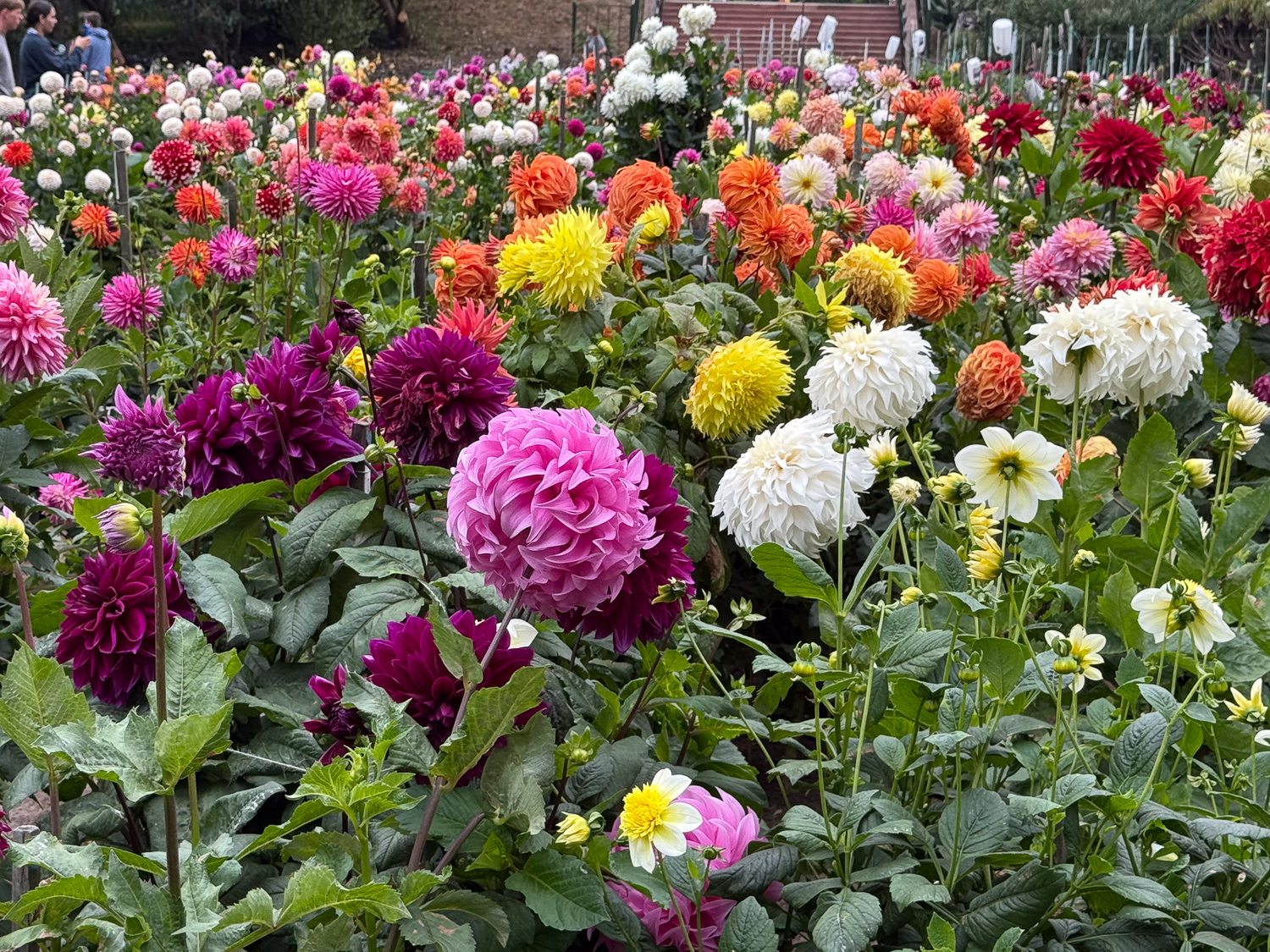
Colorful dahlia flowers of all sizes.

Sunday morning some of us walked about a mile to Golden Gate Park to see the dahlia garden. There are enough photos to have another blog post that could be used as color inspiration for weaving projects!
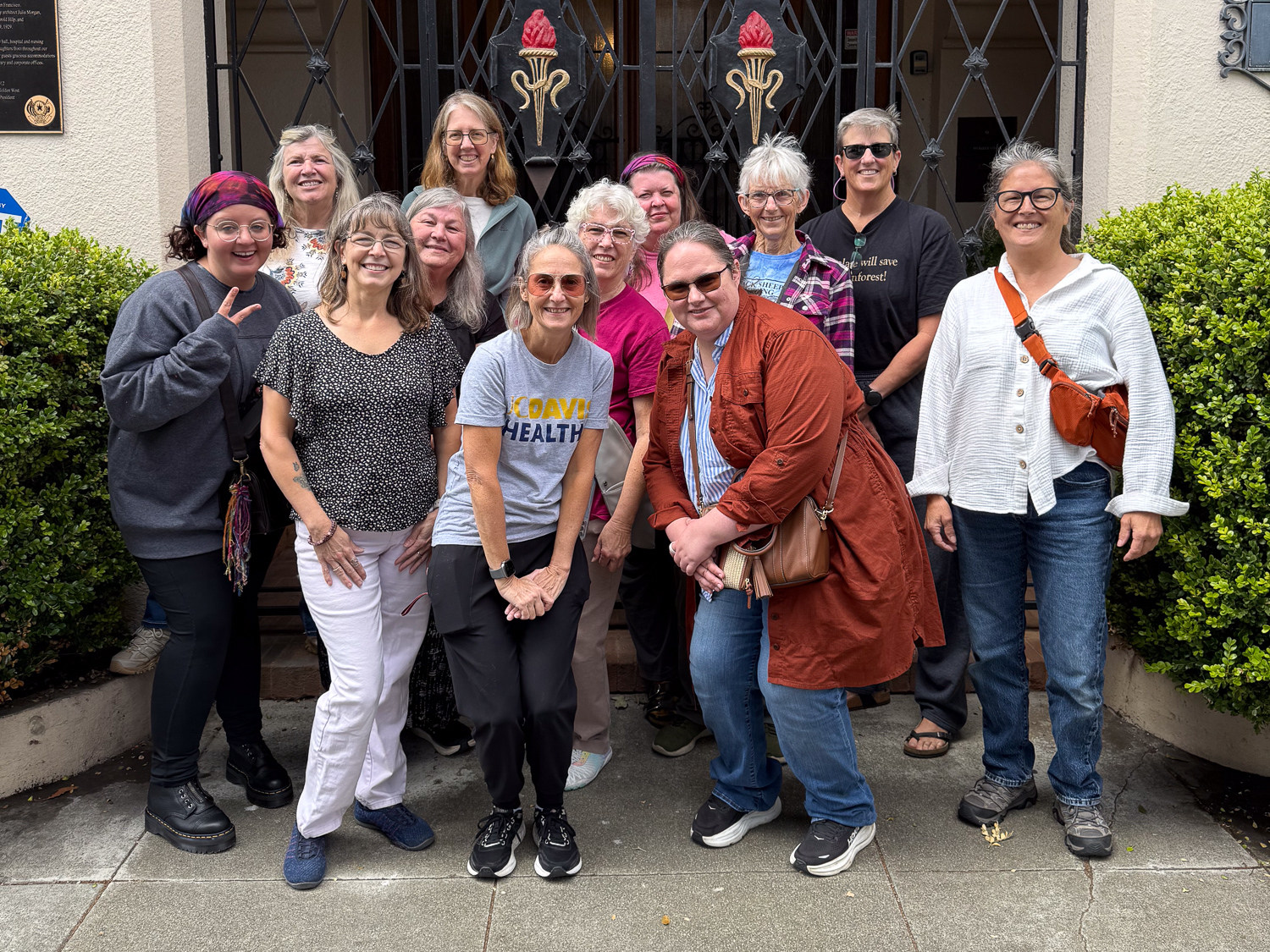
Group photo of twelve women outside gated entrance.

The weekend was over too soon, but the group discussion helped me to pinpoint a potential breeding date, which sets us up for lambing and shearing dates, and for the next retreat in January or February.

New Year’s Day 2025

I planned to go on a hike today, but that was mid-day. Feeding sheep is first.

Sunrise viewed from the barn. After chores I drove to the newly opened 1500 acre Patwino Worrtla Kodak Dihii open space park managed by Solano Land Trust, outside Fairfield and only about 25 minutes from home. I had never been to this park but had read about the progress made on opening it for the public.

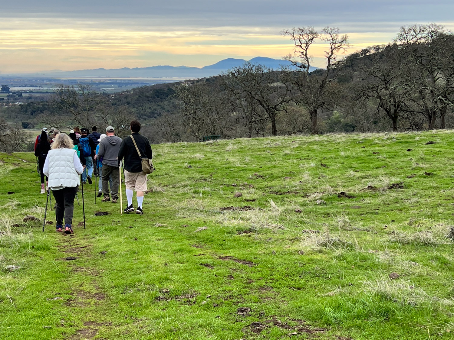
The park is usually open Friday through Monday, but there was a special New Year’s Day docent-led hike. There is good signage throughout the property so you can always figure out what trail you are on. We started at the Welcome Plaza at the bottom of this map. We saw the east half of the property, making it to the loop at the northeast and then back down the Bay Area Ridge Trail. That was just under six miles total.

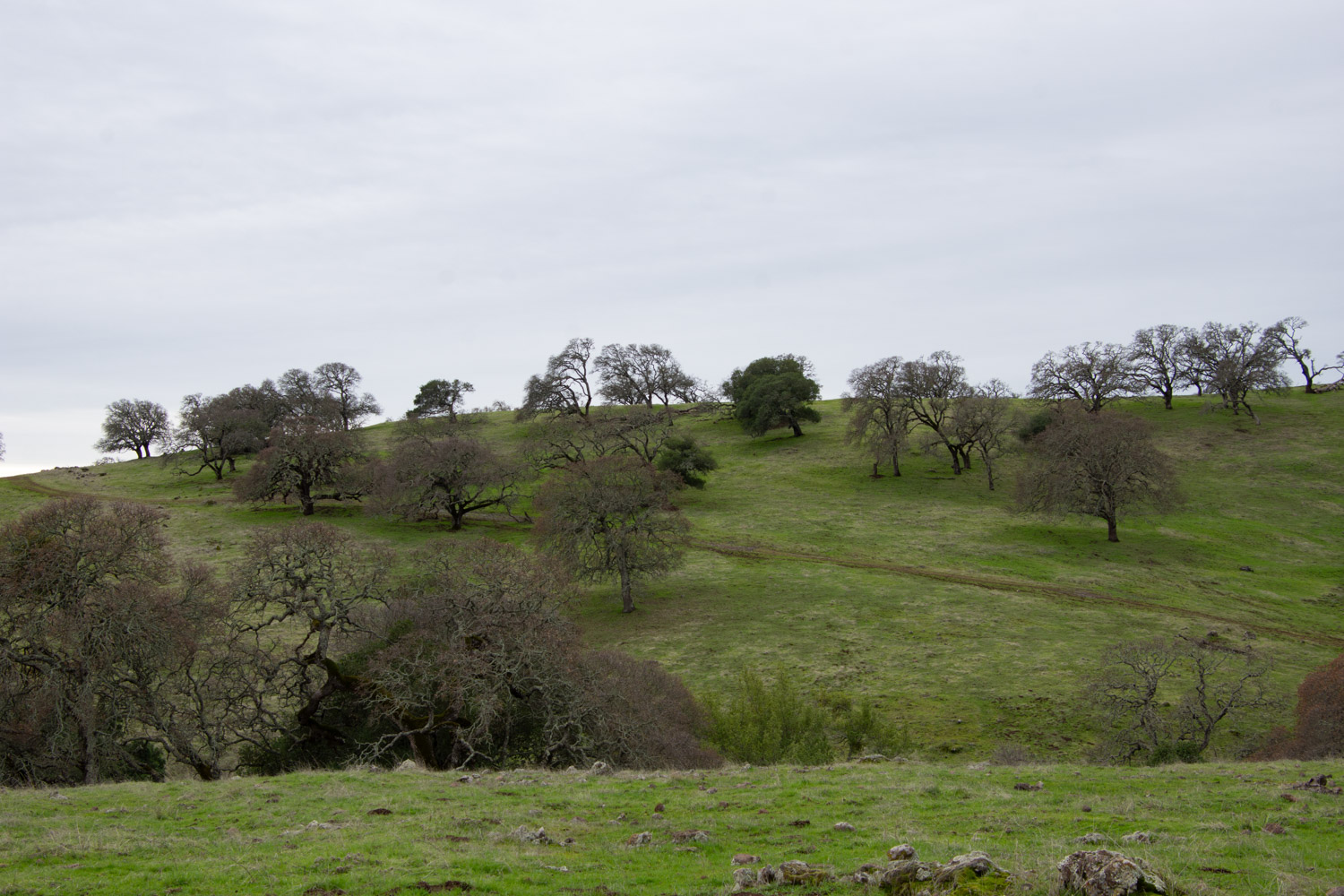
This is oak woodland. The blue oaks are deciduous so they are bare now. The recent rains have brought the landscape to life with green grass.

That is Mt. Diablo in the distance. That’s the mountain that features in many of my Across the Road photos because those are taken from the property just across Meridian Road where we live. Wikipedia says, “The Mount Diablo Meridian, established in 1851, is a principal meridian extending north and south from its initial point atop Mount Diablo in California at W 121° 54.845. Established under the U.S. Public Land Survey System, it is used to describe lands in most of northern California and all of Nevada.” DavisWiki says “Meridian Road is a north-south road, roughly located between Dixon and Vacaville. The Meridian refers to its location on the principal meridian for NorCal for the US Public Land Survey. If you were to travel due south from the road, you’d hit the peak of Mt. Diablo, a prominent geological landmark.”

The wind turbines along Hwy. 12 on the way to Rio Vista feature in the view to the southeast.

There are live oaks interspersed with the deciduous blue oaks.

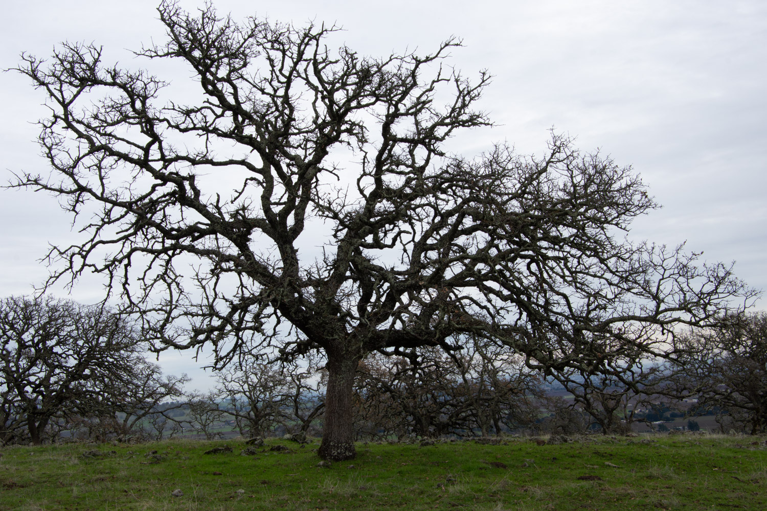
These blue oaks are magnificent with and without leaves.

Another view that includes Mt. Diablo. Hopefully I’ll go hiking there one of these days. I was there in 2020 and this is the blog post (on my website) about that.

I will definitely be back here in the spring for wildflowers.

A Birthday Hike

My birthday was last weekend and I wanted to go hiking. I thought about Mt. Diablo or Pt. Reyes or Mt. Tamalpais, all places that I’d like to explore, but the thought of Bay Area traffic discouraged me. Then I realized that I could take advantage of some open space that is closer to home.

Lynch Canyon is in Solano County just north of the freeway between Fairfield and Vallejo. In the 1980’s the property was purchased by a company who proposed a landfill. Thankfully that was rejected by Solano County voters and the land is now owned by Solano Land Trust.

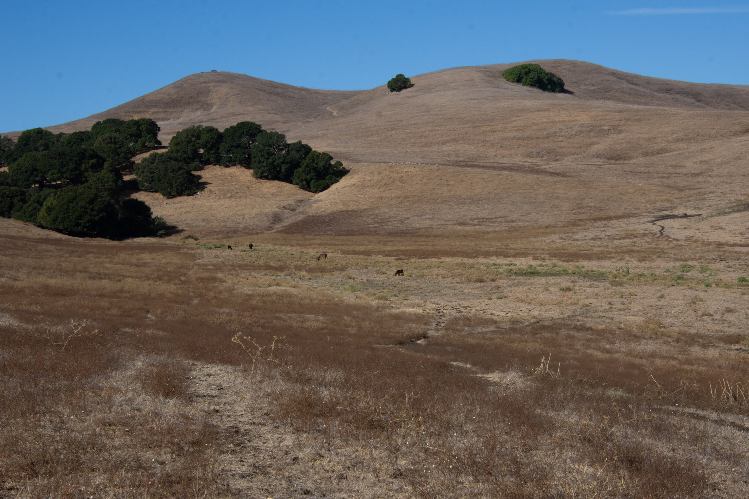
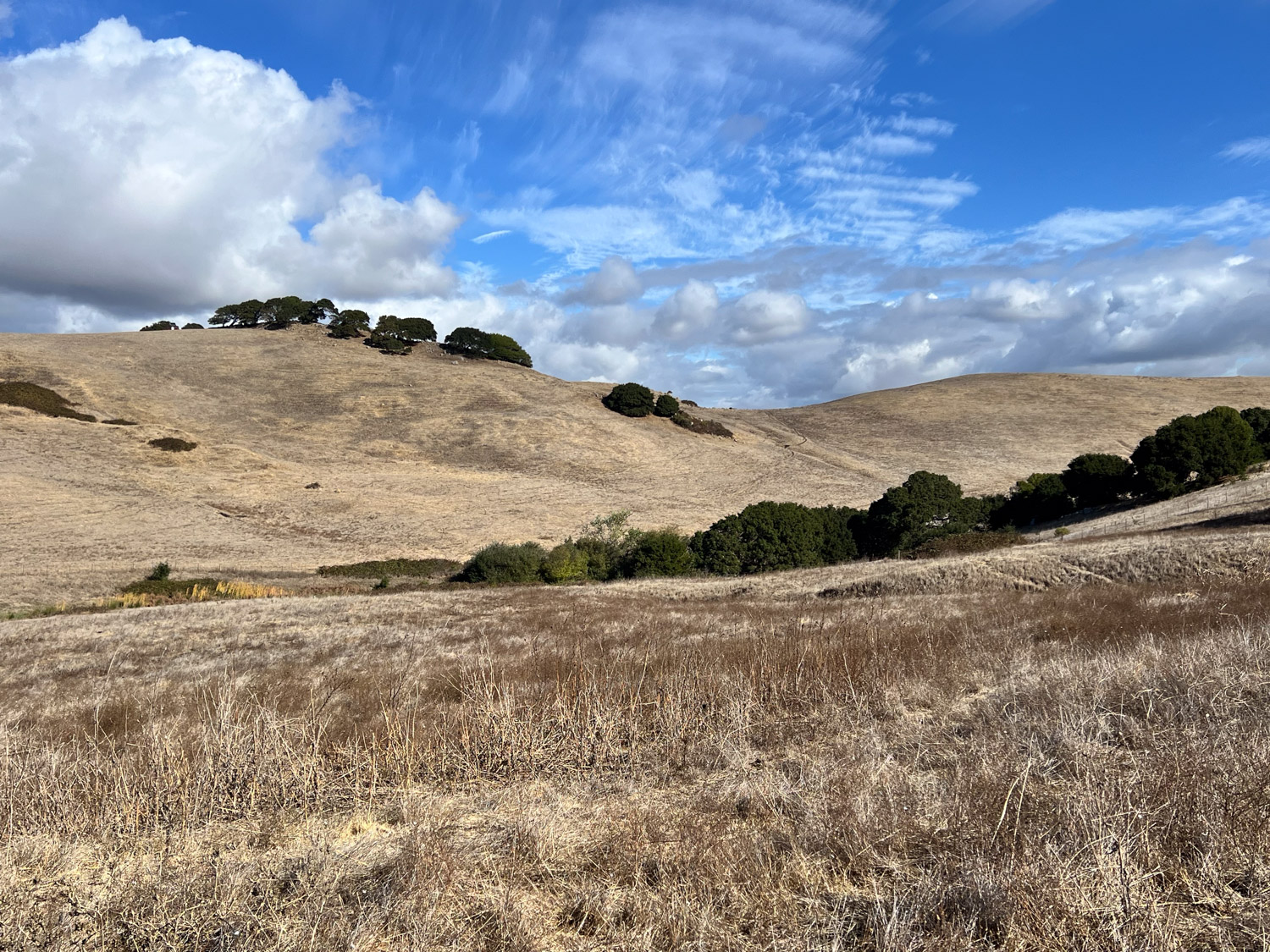
The land is rolling hills dotted with oak trees. We had the first real rain of the season the previous evening so this may start to green up soon. On the morning of our hike the vegetation was all dry.
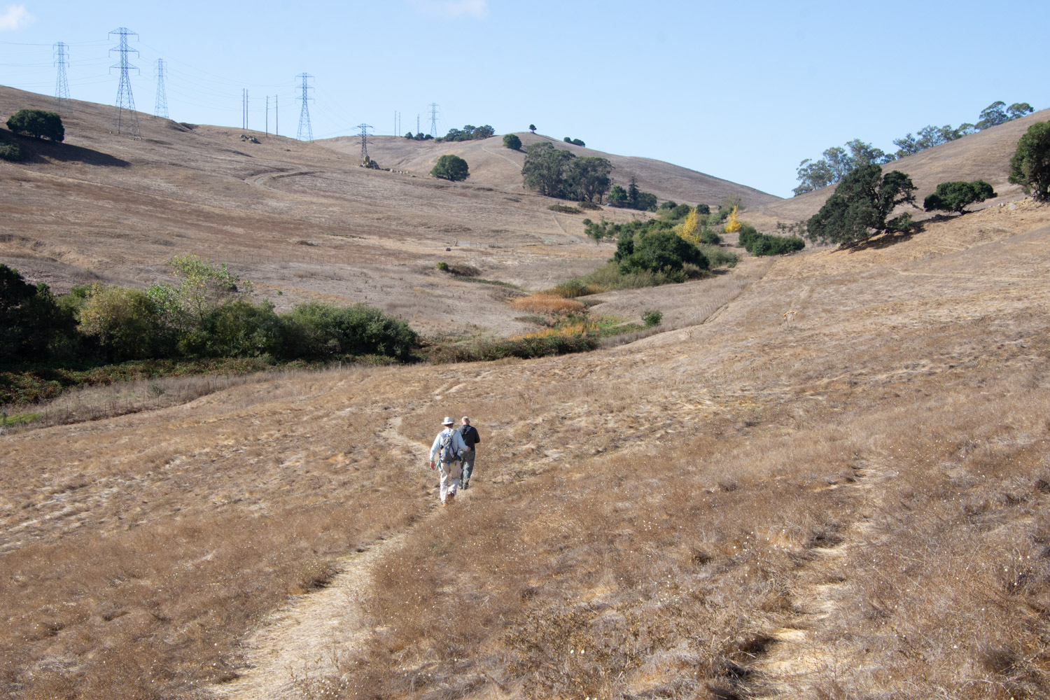
The trail we chose headed generally west. I wanted to get to the top of the hills for the view.

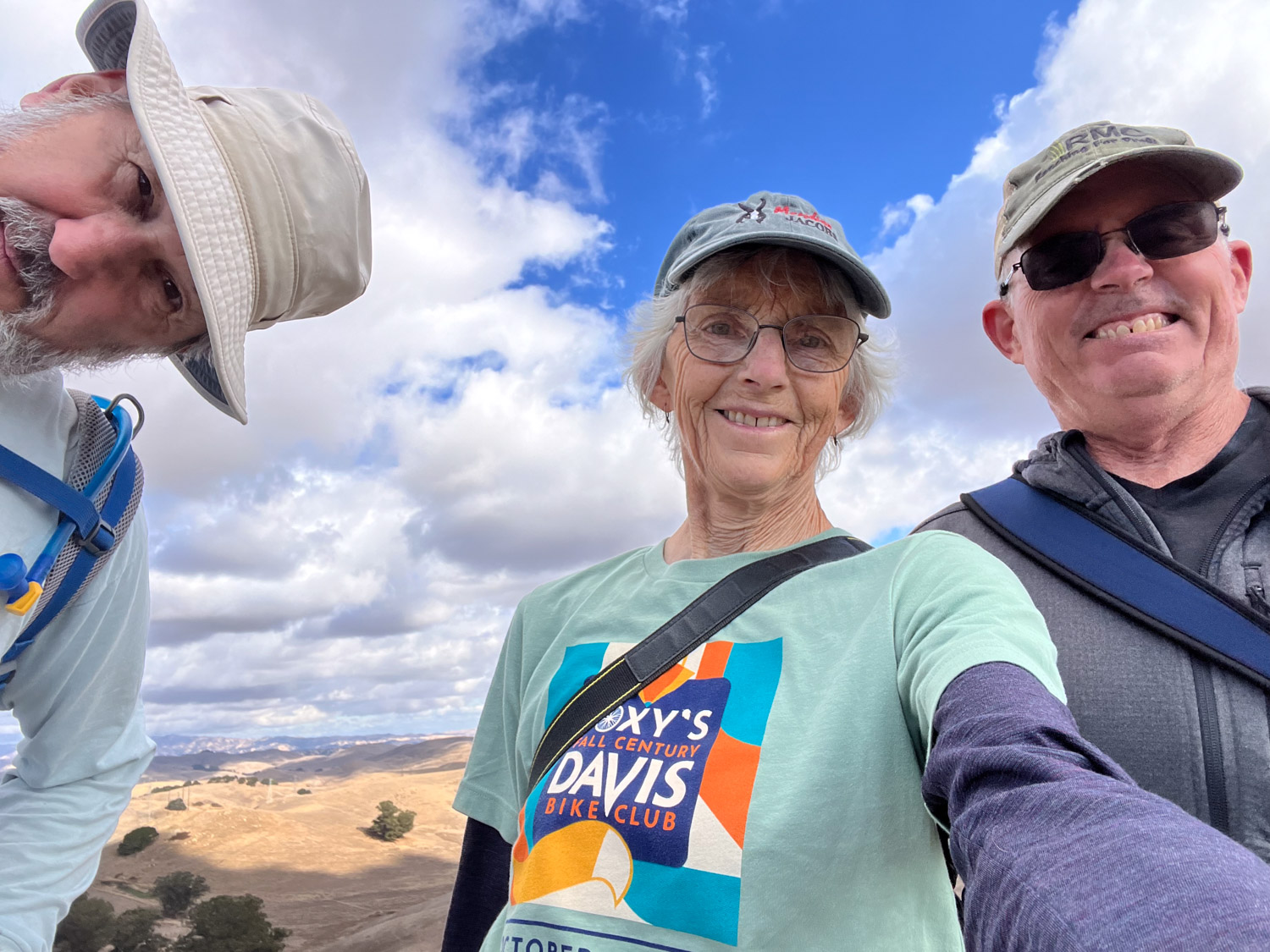
My brother, Dave, was with us.

This area could be stunning when there are spring wildflowers. The only plant flowering now was tarweed.

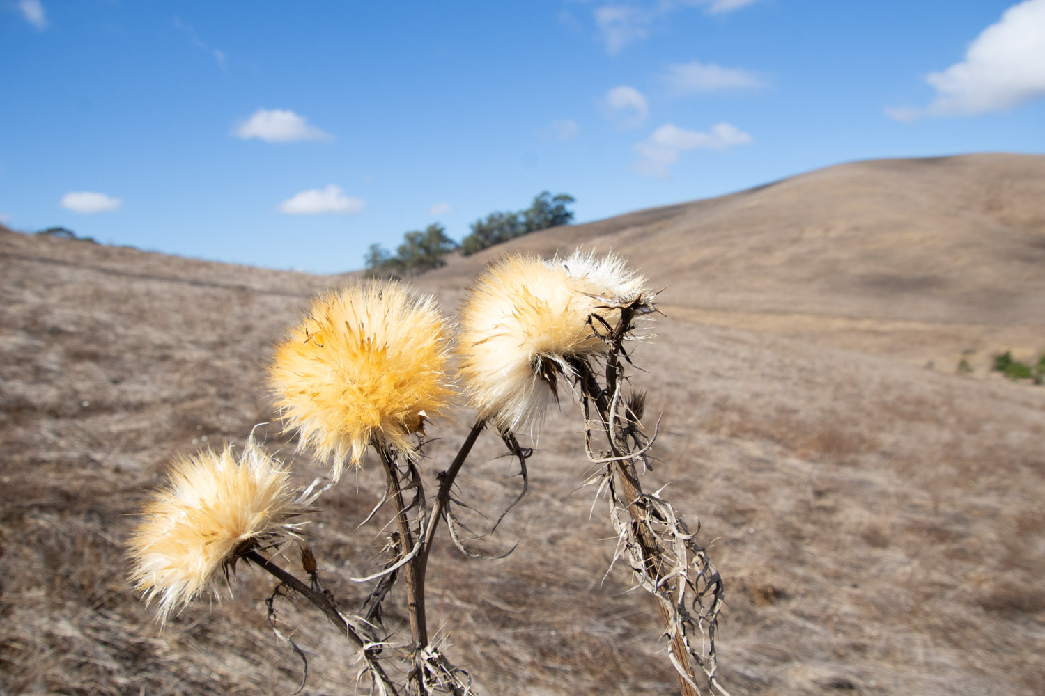
The thistles were an interesting contrast.

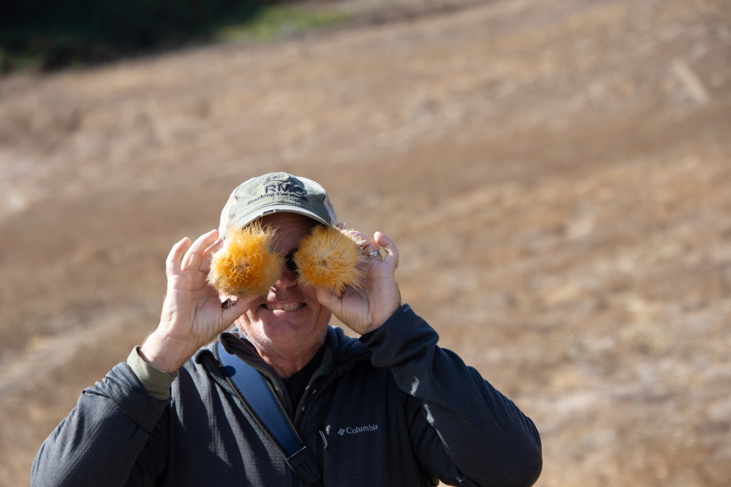
That’s my brother.

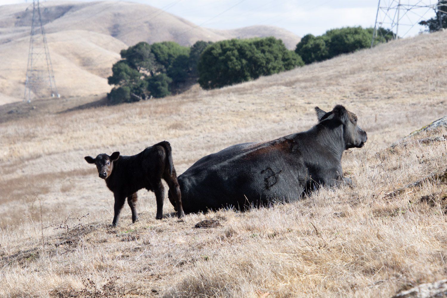
Cattle graze these hills right now.

This was a beautiful day for a hike.

Once we got on top of the hills we had views all around. This is looking southeast over American Canyon and the marsh land where the Napa River ends at San Pablo Bay. If I turned around I could see the windmills along Hwy. 12 to the east.
We could see Mt. Diablo to the south.

An easy 6-mile hike was a good way to spend my birthday.

When I got home I walked Across the Road with Ginny. Do you recognize that mountain in the distance? That’s Mt. Diablo at a little different angle than the phioto from Lynch Canyon.

Road Trip 2024 – Day 1 & 2

Finally…another Road Trip. The last real trip Dan and I made was in 2019. Yes, we drove to Estes Park last year, but it’s not the same when you have a trailer full of sheep and can’t stop to play along the way. This trip was planned to coincide with the opening night of an art show in Trinidad, Colorado, but I’ll get to that in a later post.

I drove my granddaughter to the airport Tuesday morning (July 30), and we were finally packed and ready to go by about 5:30 that evening. How do we get away when there are all these sheep to take care of? Thanks go to Farm Club members who were able to spend two to three days each to take care of sheep, the garden, and of course, Ginny.

We have our phones, but I sure like to follow along with real maps. We can find a lot of interesting details along the way, figure out USFS lands where we can camp, and get a broader overview of an area. Then I use my phone to look up odd place names and read background info as we travel.

Some of my photos will be “drive-by” where there are plenty of windshield splotches visible. I haven’t been in the higher Sierras lately. I don’t think I’d seen this devastation from some of the fires over the last couple years. I think this was from the 2021 Caldor Fire that burned in the El Dorado National Forest and beyond. There were miles of devestation.

We drove east on Hwy. 50 and turned south towards Markleeville and then Hwy 395 on the east side of the Sierras. It was dark by the time we were near Mono Lake where we decided to spend the night. We got gas ($6+/gallon) as the last station was closing in the nearest town. Then we found a place to park the truck and camp.

This photo is from the next morning. Our style of camping is to bed down on the platform Dan made in the back of the truck. I sleep on a foam pad and a sheepskin and am almost as comfortable as in a real bed.

It’s hard to imagine that this was once part of the lake. The sign in the next photo says that in 1994 the State Water Resources Control Board set a target level of 6392′ which is 25′ below the lake level in 1941.That decision decreased diversions by Los Angeles from four Mono Lake tributaries.

I don’t know how much progress has been made but there is still a long way to go, The mandated level of the lake will be at the base of these signs

We walked down the board walk to the lake edge.

From The Geology and History of Mono Lake: “Along the southern shoreline of Mono Lake, large tufa towers or pinnacles rise above the water’s surface. These iconic pillars, comprised of precipitated calcium carbonate, formed over thousands of years by the interaction of freshwater springs and the highly alkaline waters of Mono Lake.” This website also says that when the water diversions were stopped in 1994 the lake was at about half the water volume and twice the salinity of what it was before the water diversions began.

Mono Lake
Mono Lake

After exploring a bit of the lake edge we got on the road. We planned to camp at Great Basin National Park, on the eastern edge of Nevada, Wednesday night.

We have always wondered about the Clown Motel which we discovered on a trip through Tonapah when we made a decision to NOT stay there and try another. It is even more clown-themed now than I remember it from before. I just looked it up and found that in 2019 it was purchased by someone who embraced that theme and has modernized the motel. I read more and found that there is a history to the clown theme. You can see that here if it intrigues you.

We made it to Great Basin National Park by about 5 p.m.

I needed to get out of the truck and get some exercise. After we chose a campsite I followed a trail along the nearby stream about a mile and a half. We didn’t see any warnings about bears, but I started thinking about them and wondered if hiking by myself near dusk was a good idea, especially with the recent fatality in CA by a mountain lion. The only bear encounters we have had were at Grand Tetons and Yellowstone, but maybe it’s the older I get the more I know that sometimes things go wrong. I decided to turn around. I still enjoyed the beautiful scenery.

This was our camping spot.

Farm Club Retreat in San Francisco – 2024 – Part 2

Here is the Part 1 blog post. I just realized that I got the timeline wrong. That restaurant dinner was on Friday night. The library visit was Saturday. We ordered dinner to be delivered from Kung Food on Saturday and had enough left over that some people had it for lunch the next day as well as taking some home.

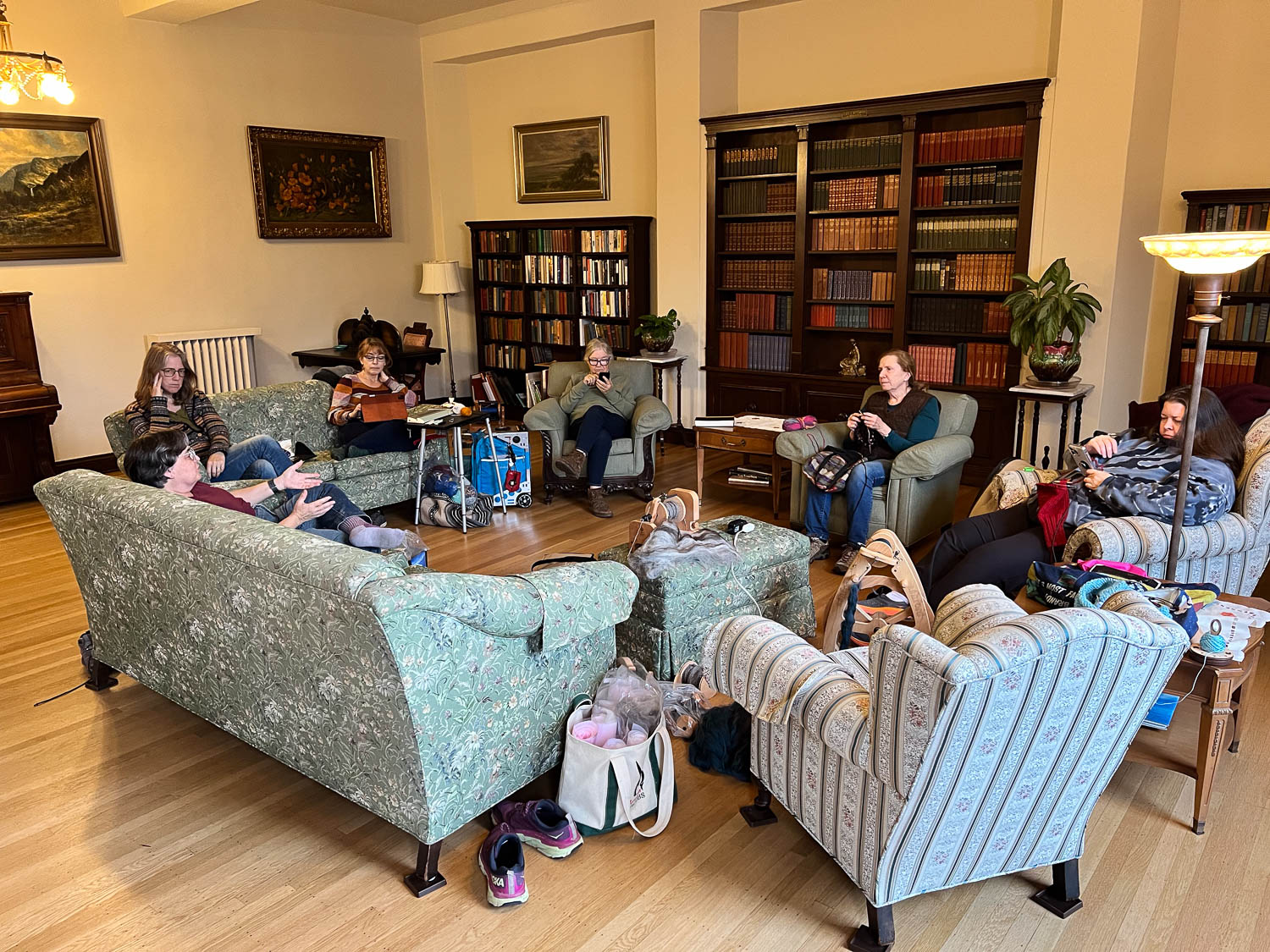
Both evenings and during other parts of the day we arranged ourselves in the parlor and working on projects. The parlor is the room that we were surprised and dismayed last year to find out there had been severe water damage and it was closed for repair. The floors and ceiling had major repair work. The difference this year is that there is no carpet and some of us commented on the different feel to the room. It is still a lovely place to hang out. We were able to leave our “toys” there the whole weekend and come back to them when we felt like it. That empty end of the green couch is where I set up shop. I wove two rigid heddle scarves and spun on the e-spinner.

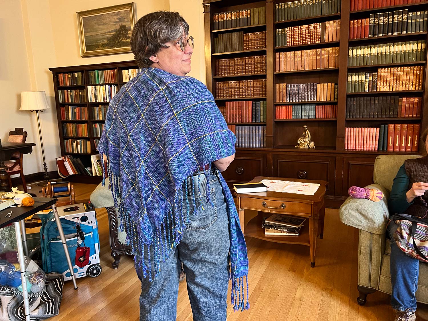
Some people knitted, some spun, and some just relaxed. Deborah used the time to finish the fringe on a v-shawl that she (and I) wove in one of my classes last year.

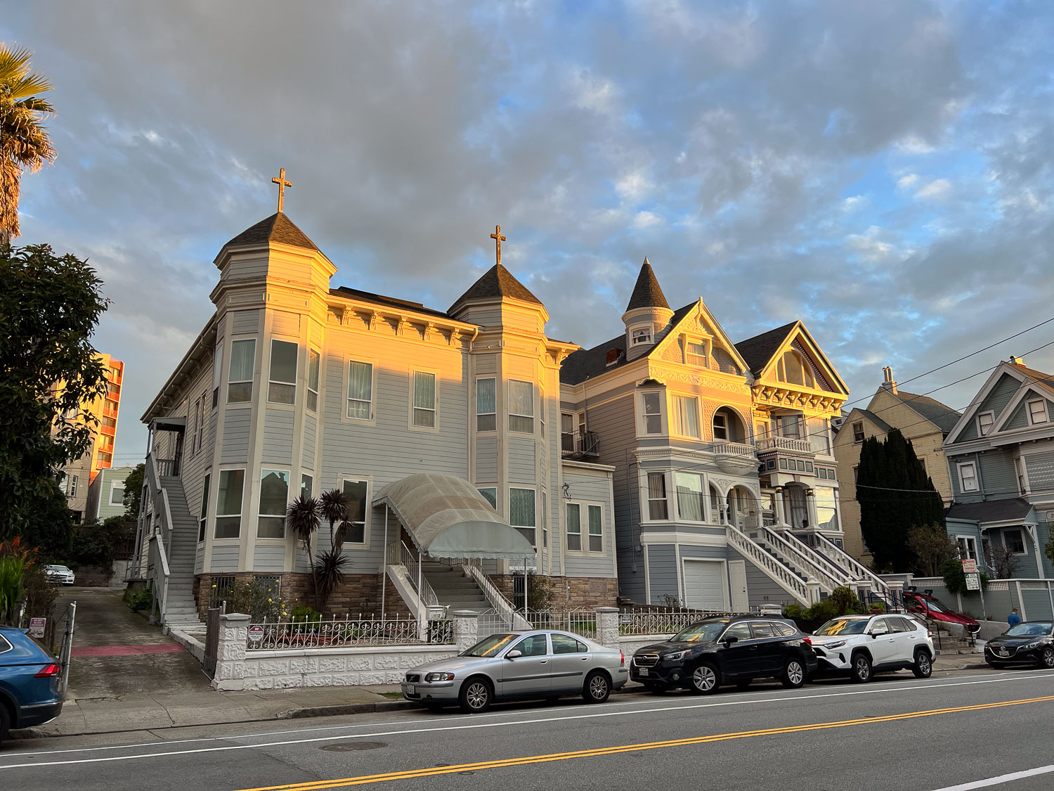
Sunday morning I decided that after all that food and a lot of sitting I’d better go for a walk. I love seeing these old houses. (One here serves as a church.)

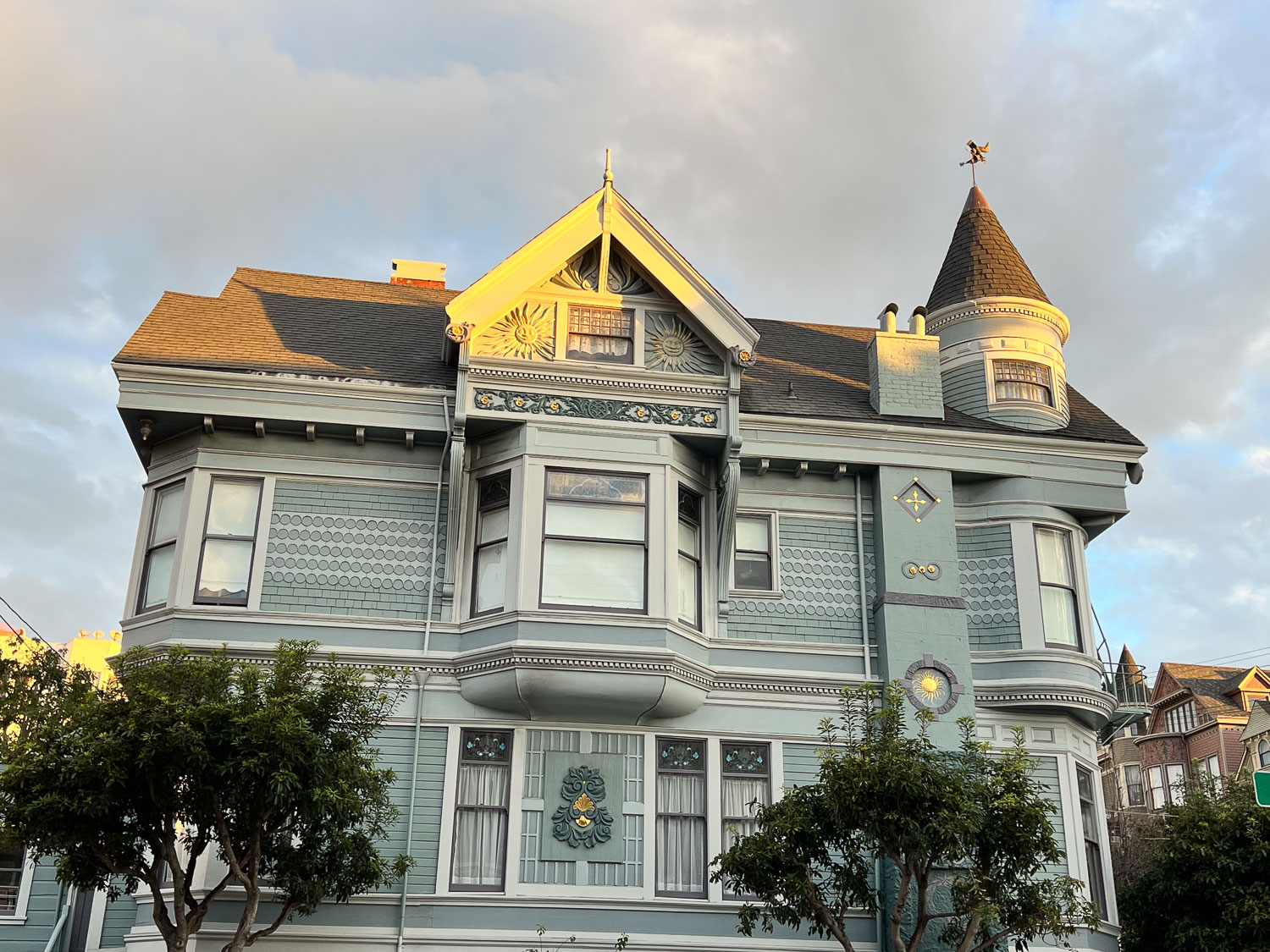
Some of the houses are maintained remarkably well, but I noticed some as I got farther from this neighborhood that need work. I can’t imagine how much it costs to keep up the paint job and the window repairs on these houses.

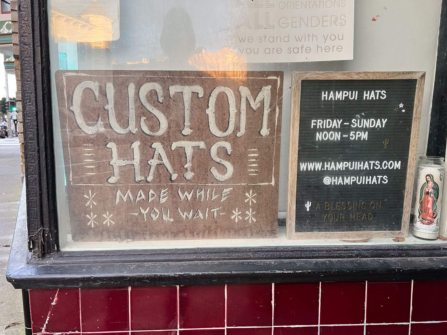
I took this photo a couple of blocks from the Home. Now I wish that I had investigated at the time and we had gone back. I assumed that “made while you wait” would mean that someone has a circular knitting machine and they crank out acrylic beanies. NOPE! I have looked at the website, www.hampuihats.com, and these are felt hats, among others. The website is impressive and the process is interesting. I encourage you to look at it.

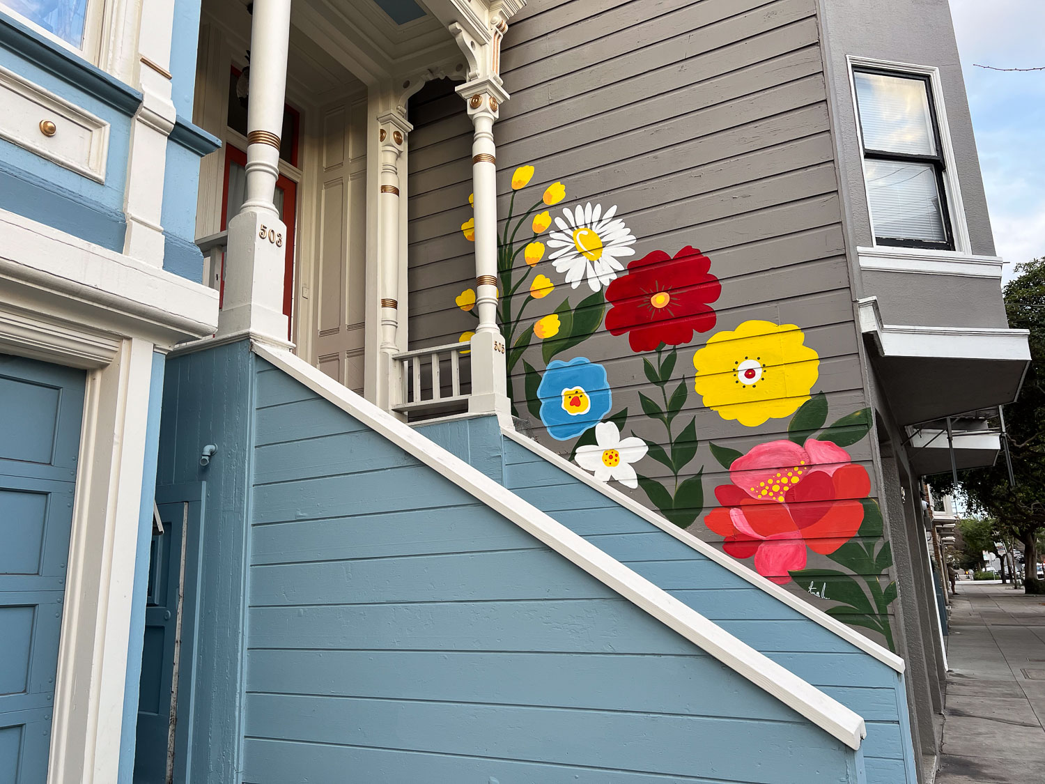
A different kind of home decoration, still beautiful.

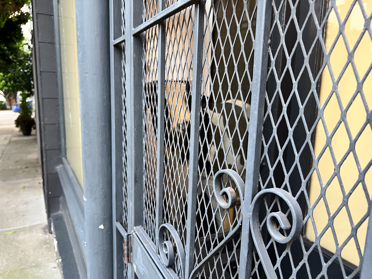
I wasn’t able to get much of a photo here because of the angle. There is a cow in there (not real, but a good size). You can see the face between two of the bars in the cetner and the body between another two.

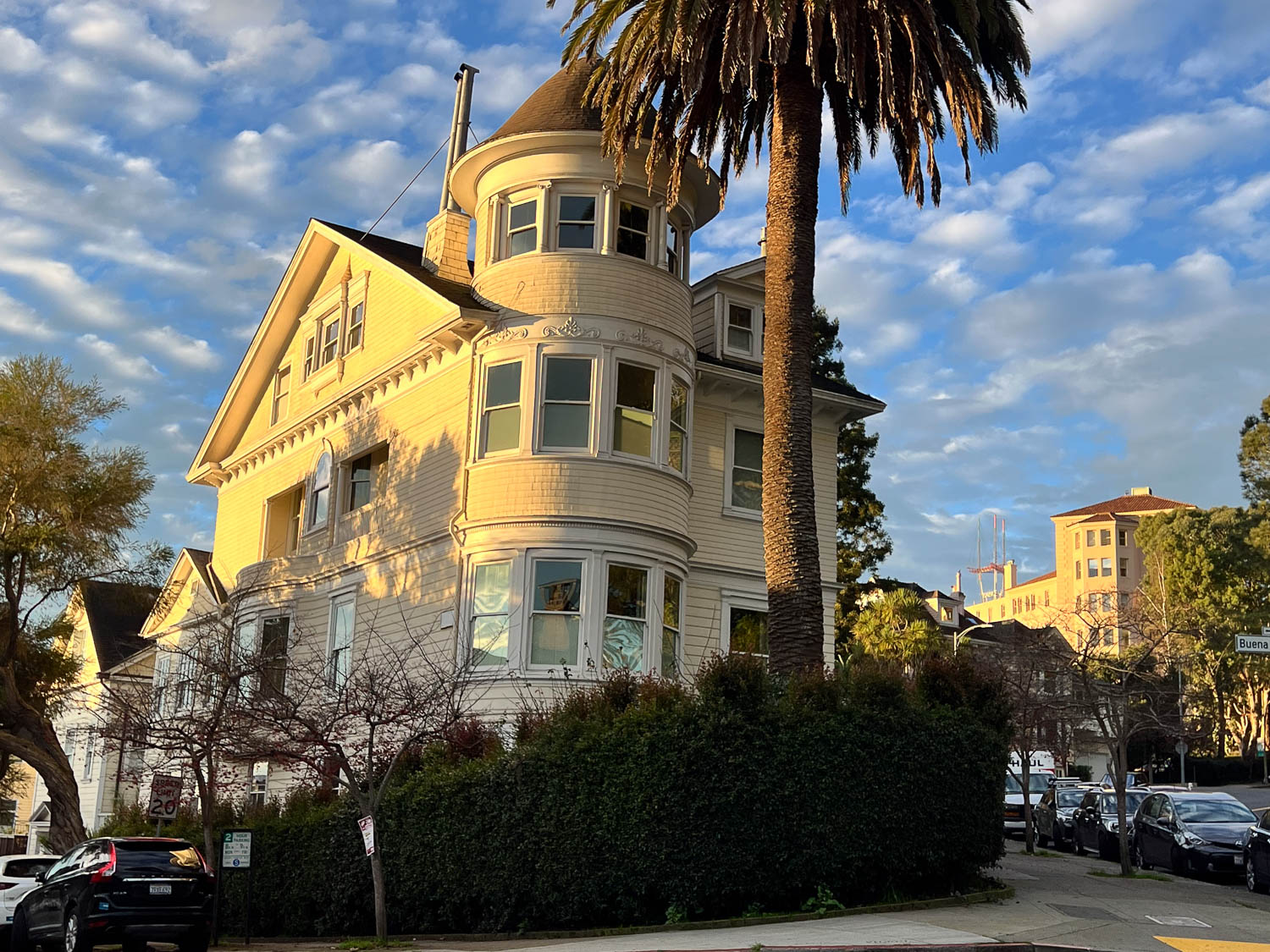
Isn’t this a wonderful house?

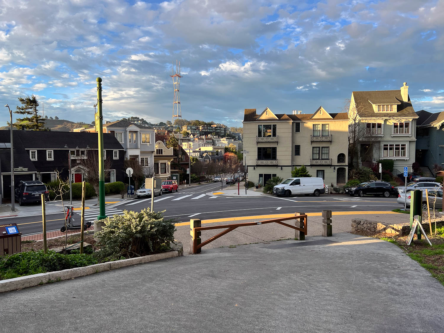
Buena Vista Park is across the street from that last house. I walked into the park and up and down paths through and around it. I came out with this view. Now that I’m looking at a map I see I was at the south side. I saw Sutro Tower and thought that it didn’t seem that far and I may as well head that way.

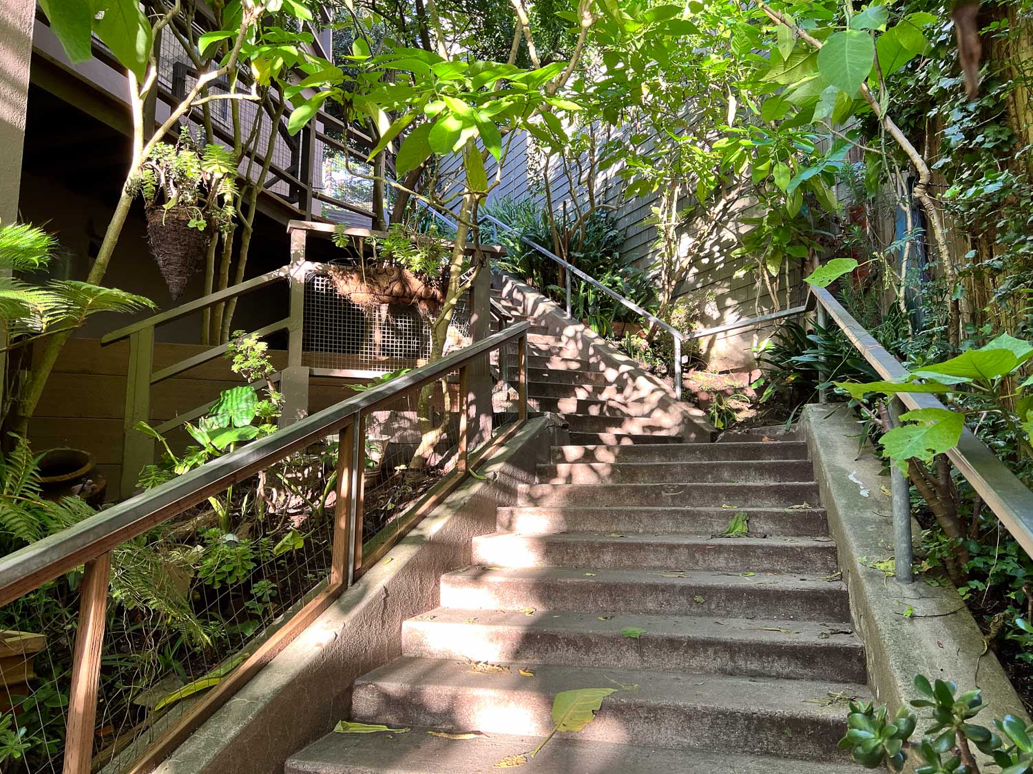
I walked along streets going in the general direction. Every so often you see a stairway that cuts between properties and takes you from one street to another.

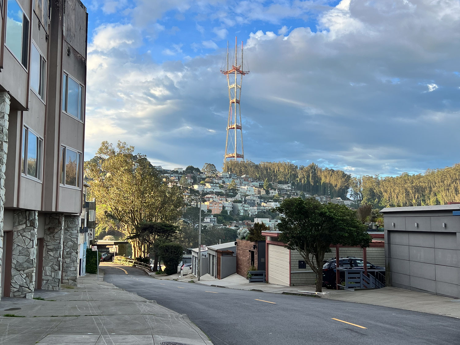
I found another small park at the top of one hill and looked beyond it to Sutro Tower. Hmmm. Not as close as I thought. I knew I could still walk there but maybe I shouldn’t spend the time. I turned around and went back taking a different route through Buena Vista Park.

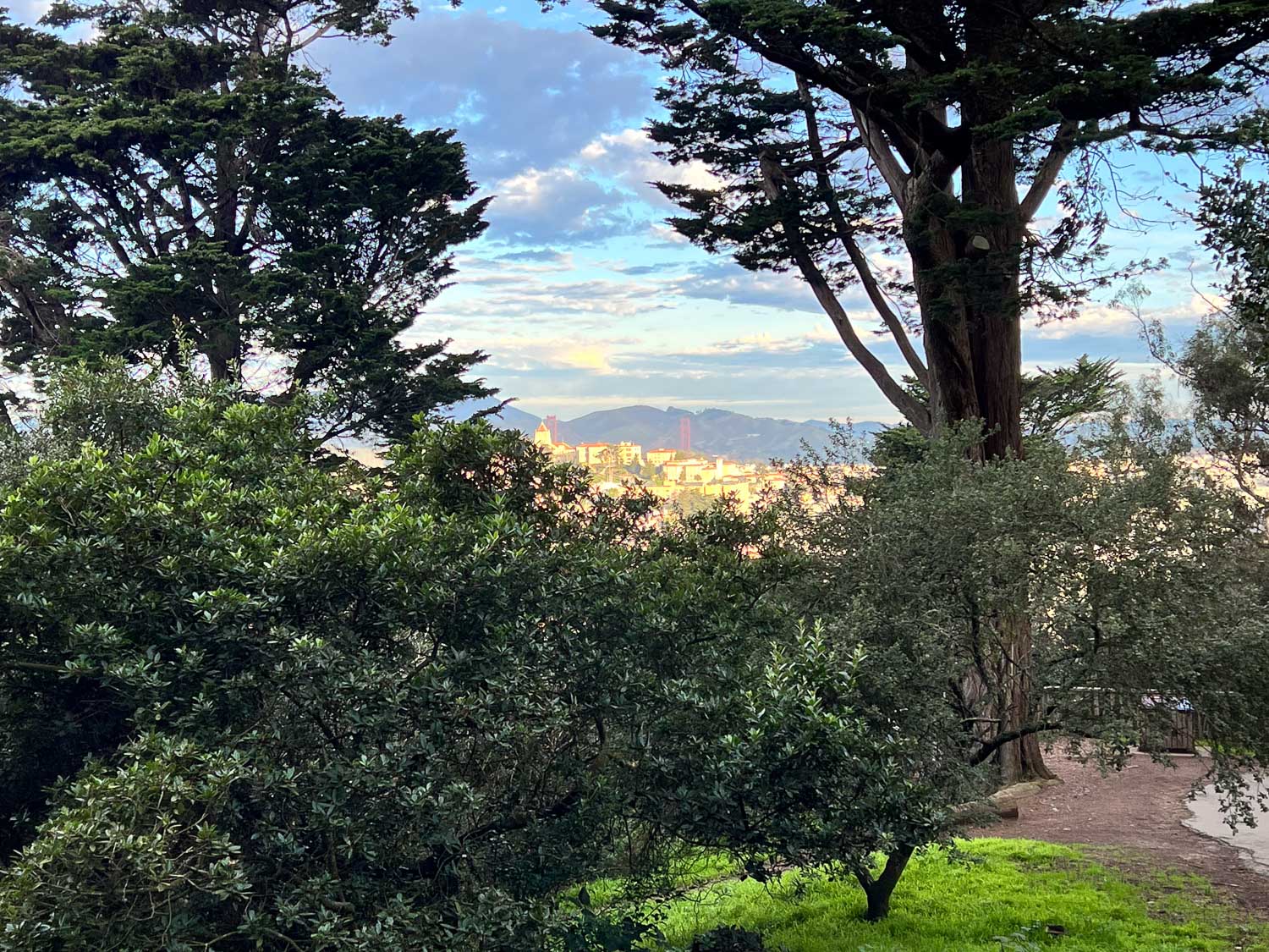
From there I looked to the north and saw the Golden Gate. You can see the towers just below those distant hills.

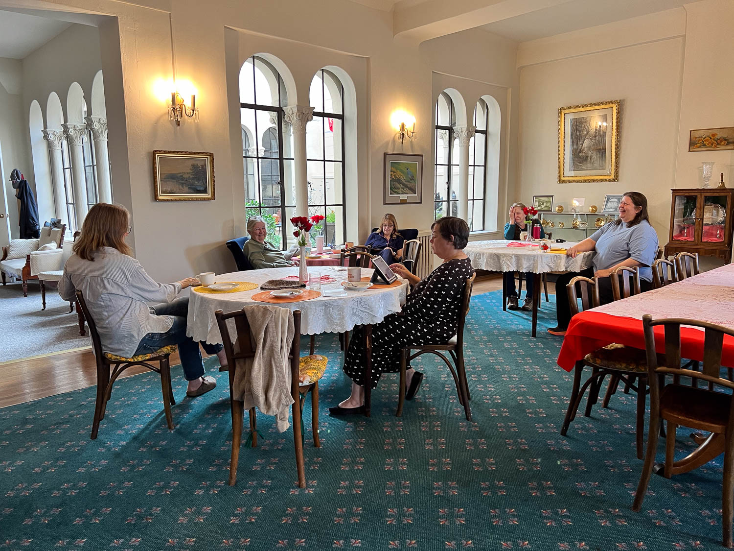
I got back to the Home and many of our group had gathered in the dining room. We finished off yesterday’s pies and spent more time in the parlor visiting and spinning before we headed home about noon.

What will next year bring? If the weather is good I plan to walk to Sutro Tower and maybe through some of the other parks in the city.