A Birthday Hike – Mt. Diablo

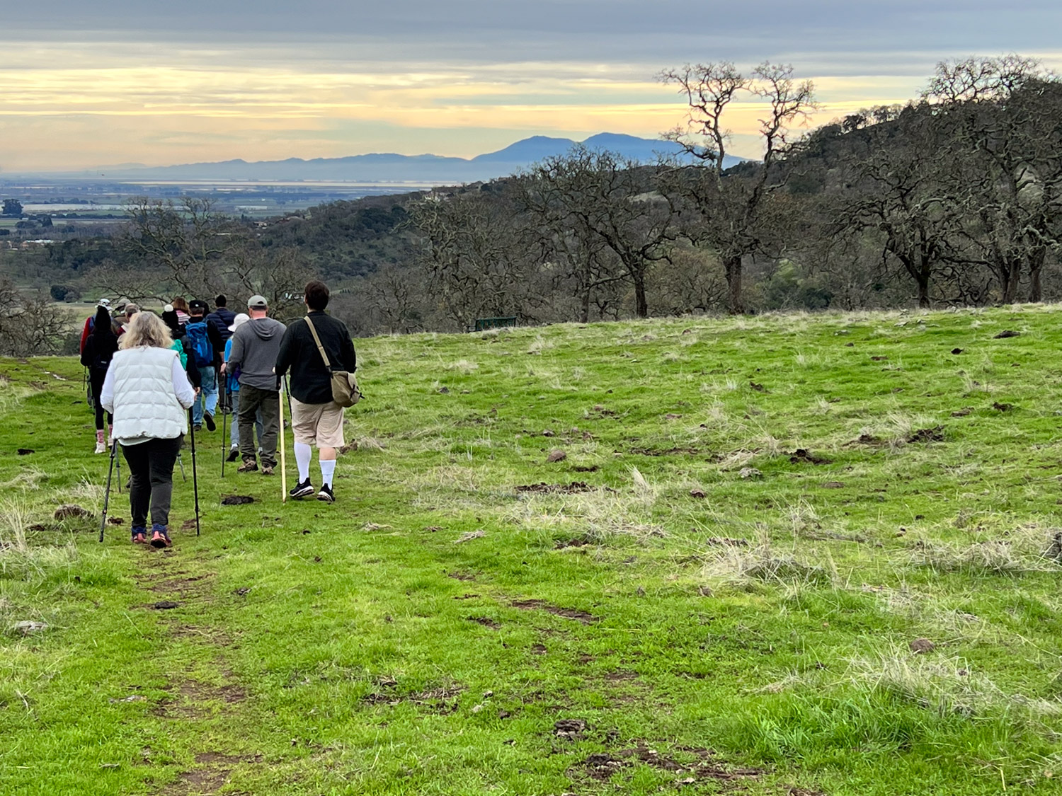
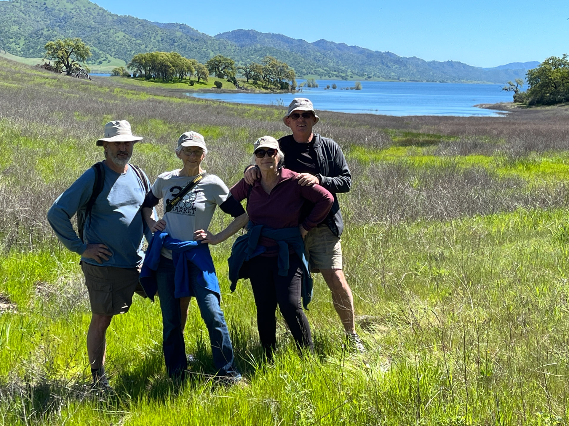
I always see Mt. Diablo when I walk Across the Road (unless there is too much haze or fog). I feel a sort of weird connection to it because of the road we live on, which prompted the name of our farm, Meridian Jacobs. I wanted to DO something on my birthday and fortunately the weather was perfect for a hike. We picked up my brother on the way and arrived at Mt. Diablo State Park a little after 8 a.m.

Wikipedia says: “The Mount Diablo Meridian, established in 1851, is a principal meridian extending north and south from its initial point atop Mount Diablo in California.”

I took a lot of photos but I have to narrow it down for a blog post. There are probably more in this post than there should be. It’s hard to portray the true essence of the hike in my photos.

Sign at Mt. Diablo State Park with mileage to various points.

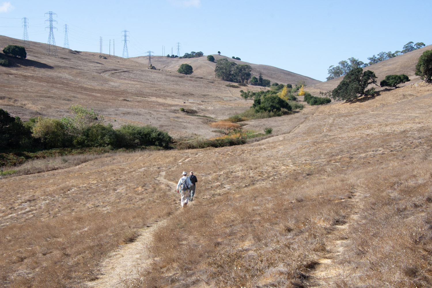
I wanted to get to the summit. Not long after we started we spoke to someone who said the direction we were headed was very steep and suggested a different route.

Two people hiking a trail through oak woodland.

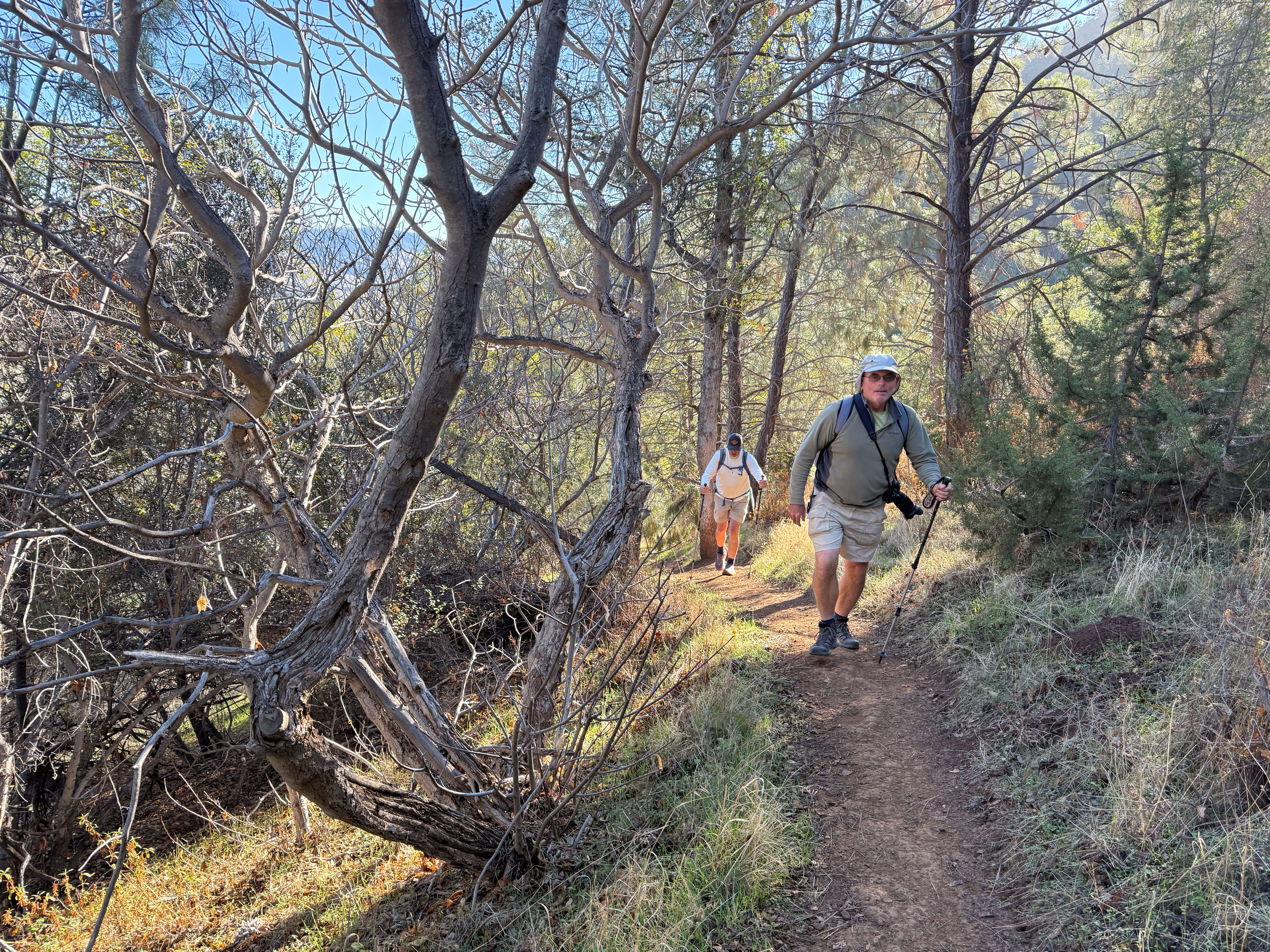
We had a map that showed all the trails and decided to start on a different one than what we’d planned.

Two hikers looking at a sign post and a map.

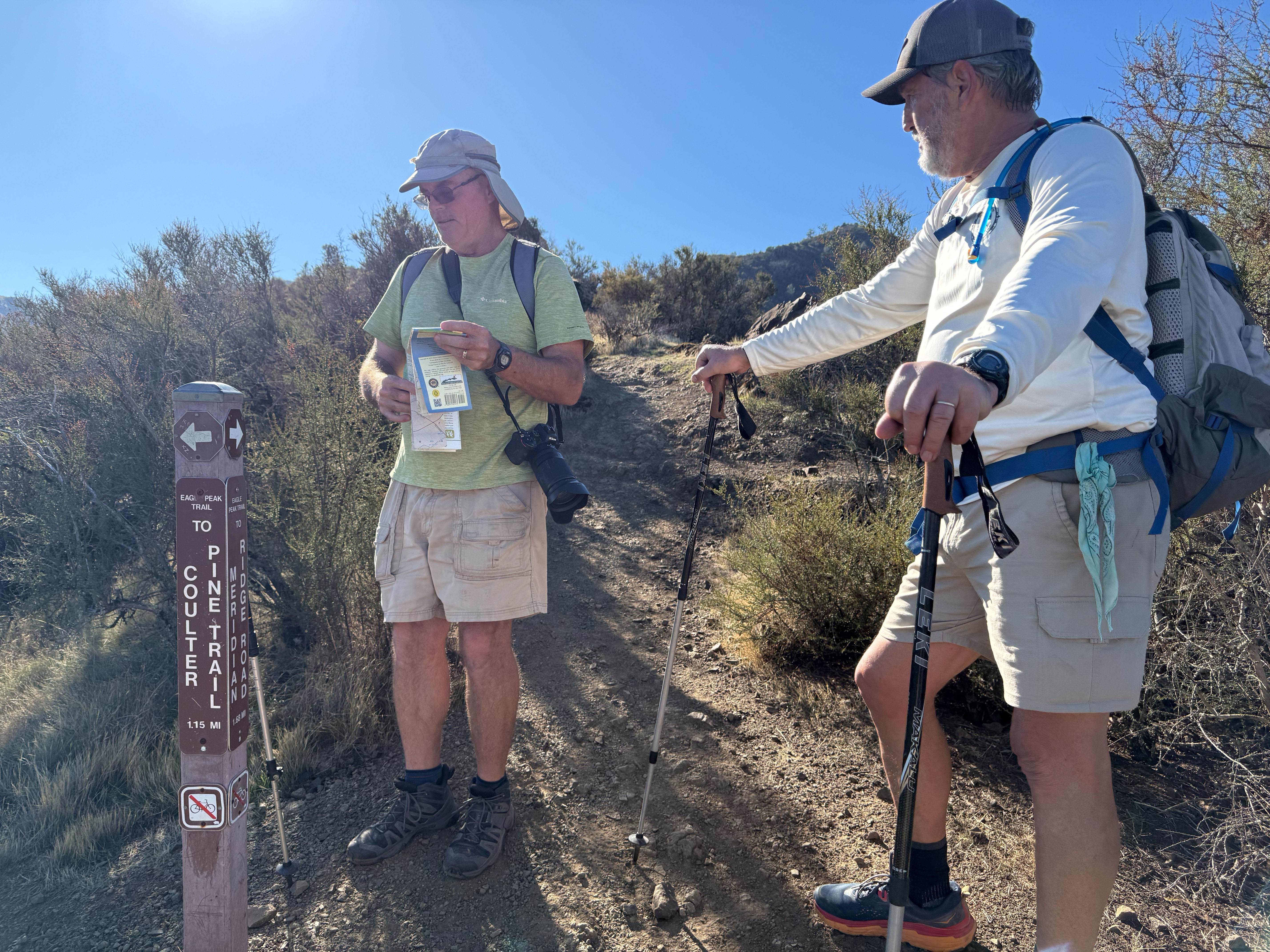
Double checking the location.

Two hikers pointing to the map.

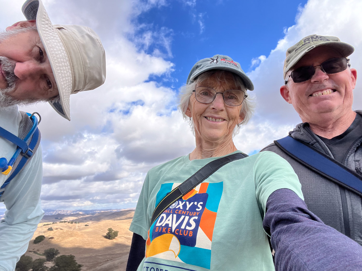
We’re still smiling!

Hiker sitting on a ridge top near a sign for Eagle Peak.

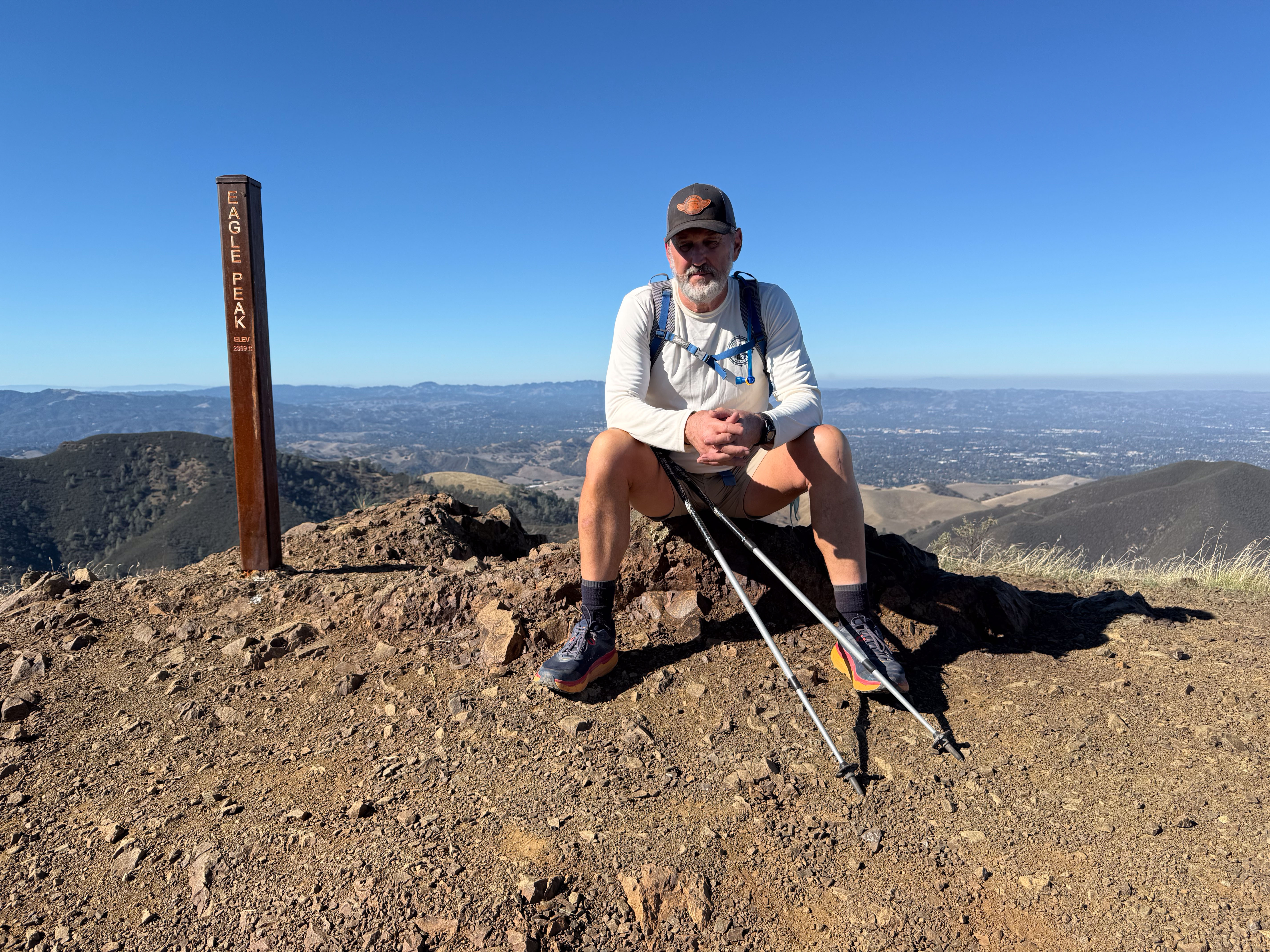
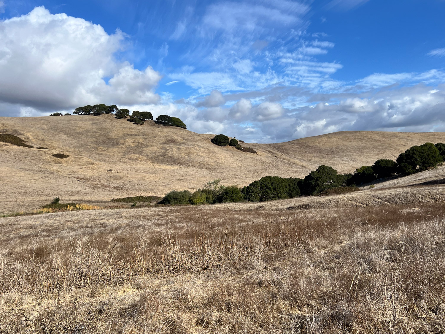
One of several peaks on the way to our goal. The sign say elevation 2369. I thought about adding a 1 in front of the 2. That’s sort of how it felt since we live in the flatland and lately all the walking has been flat. This was about 10:30.

Distant view across wooded hills with an arrow pointing to a building at the crest of the mountain.

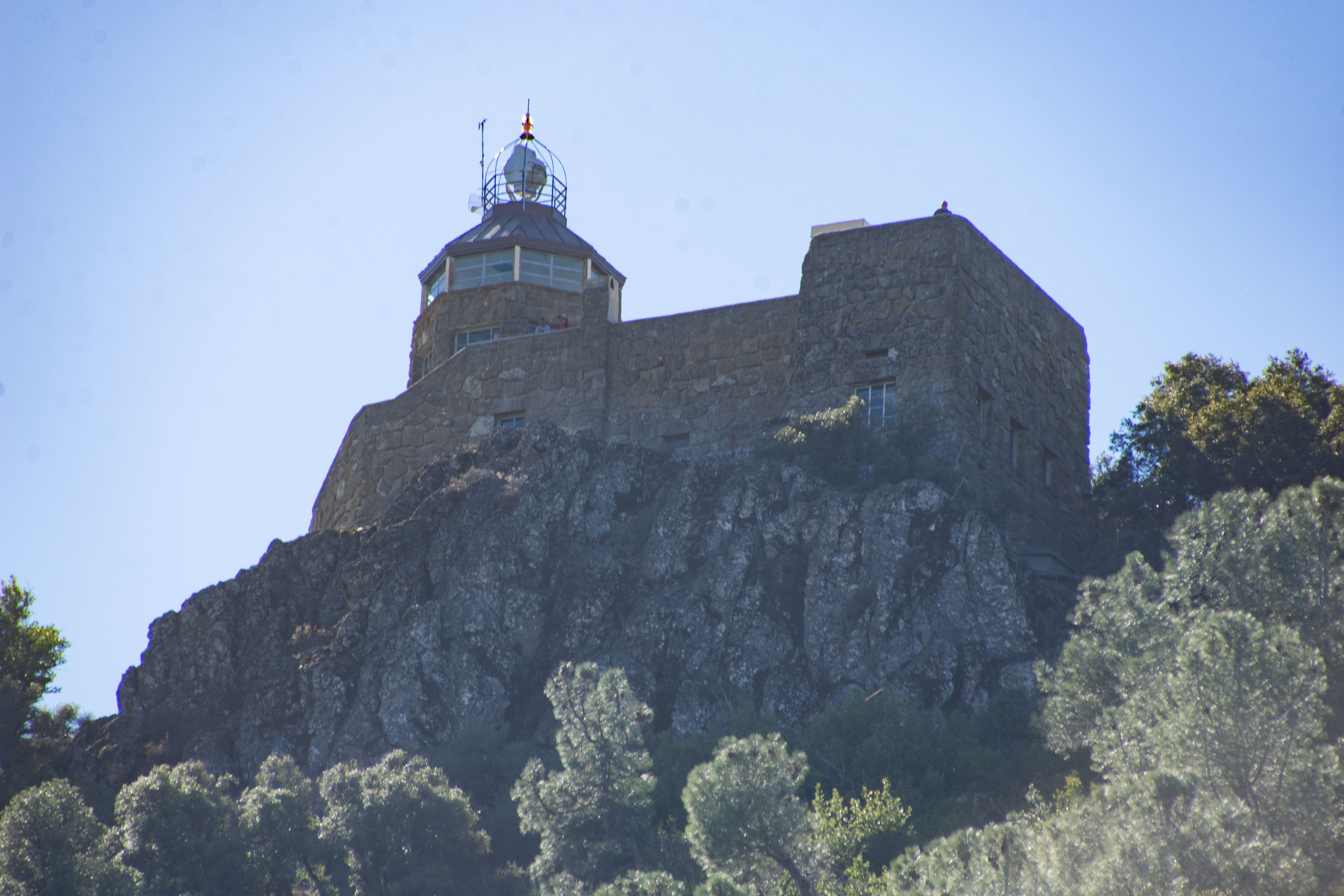
I took this photo around noon. That point on the mountain is our goal and Dave thought that we should get there by 1 p.m. to make sure we had plenty of time to get back before dark.

Structure at the top of Mt. Diablo. Concrete building looks like a castle.

This is where that arrow points.

Pipestem Clematis

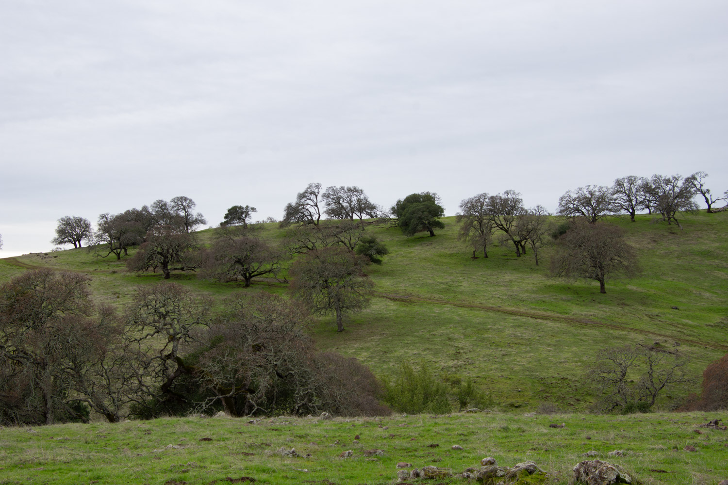
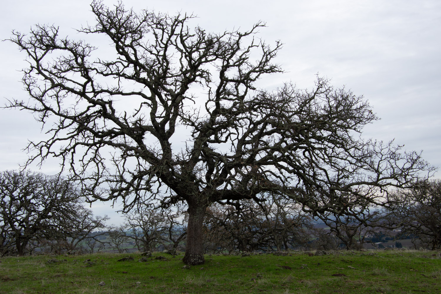
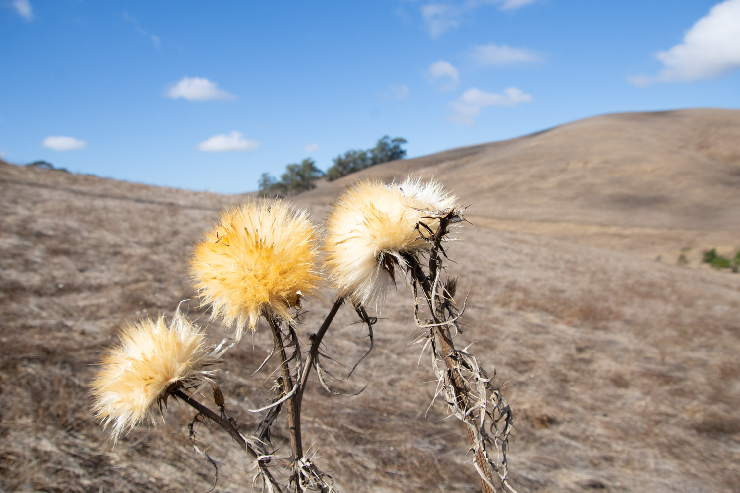
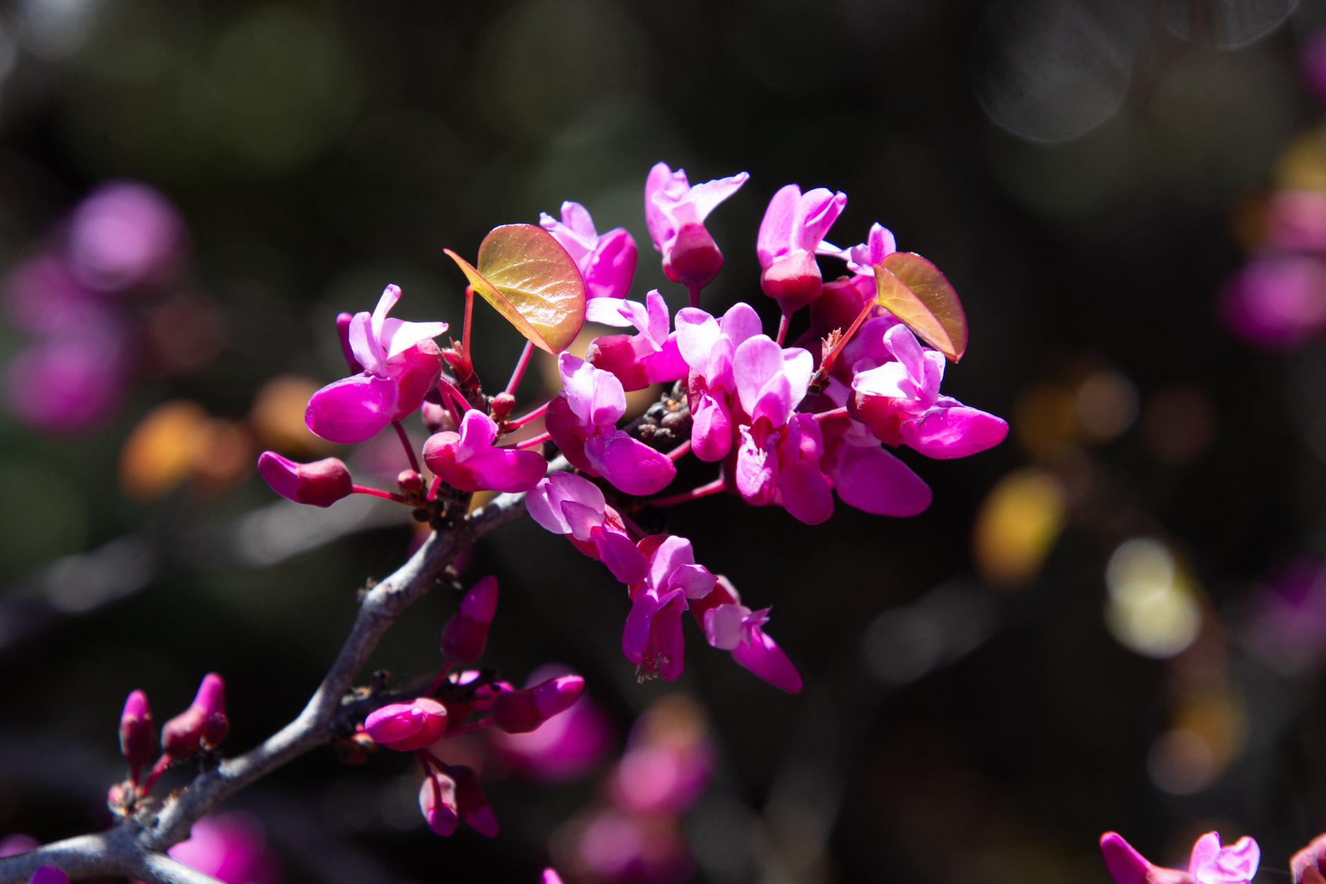
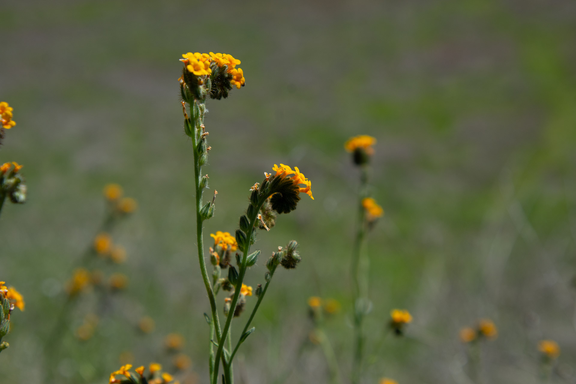
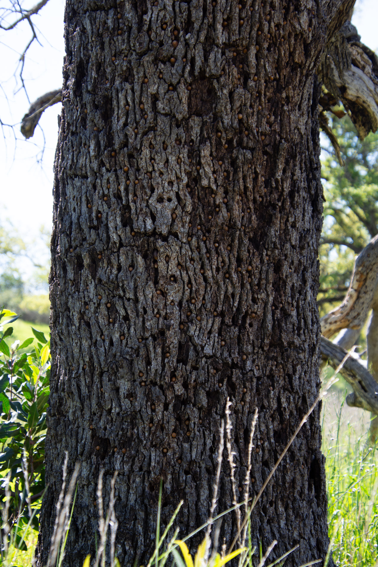
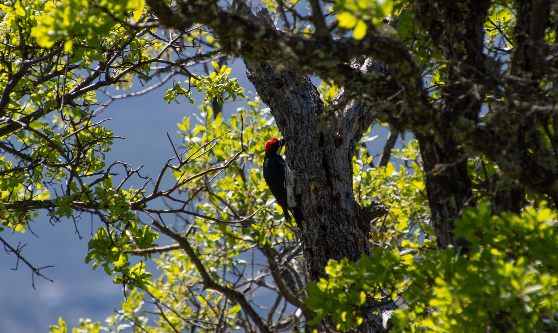
Not many flowers yet, but things are greening up and showing promise of a beautiful spring. We did see a lot of this vine that I recognize from other oak-woodland hikes.

There was a point where we had a choice to take a one-mile “short-cut” to the top (steep, we were warned by someone coming down) or another two miles with ups and downs. We split up here. Dan took a different route that Dave and I would follow later back down the mountain. Dave and I went to the top.

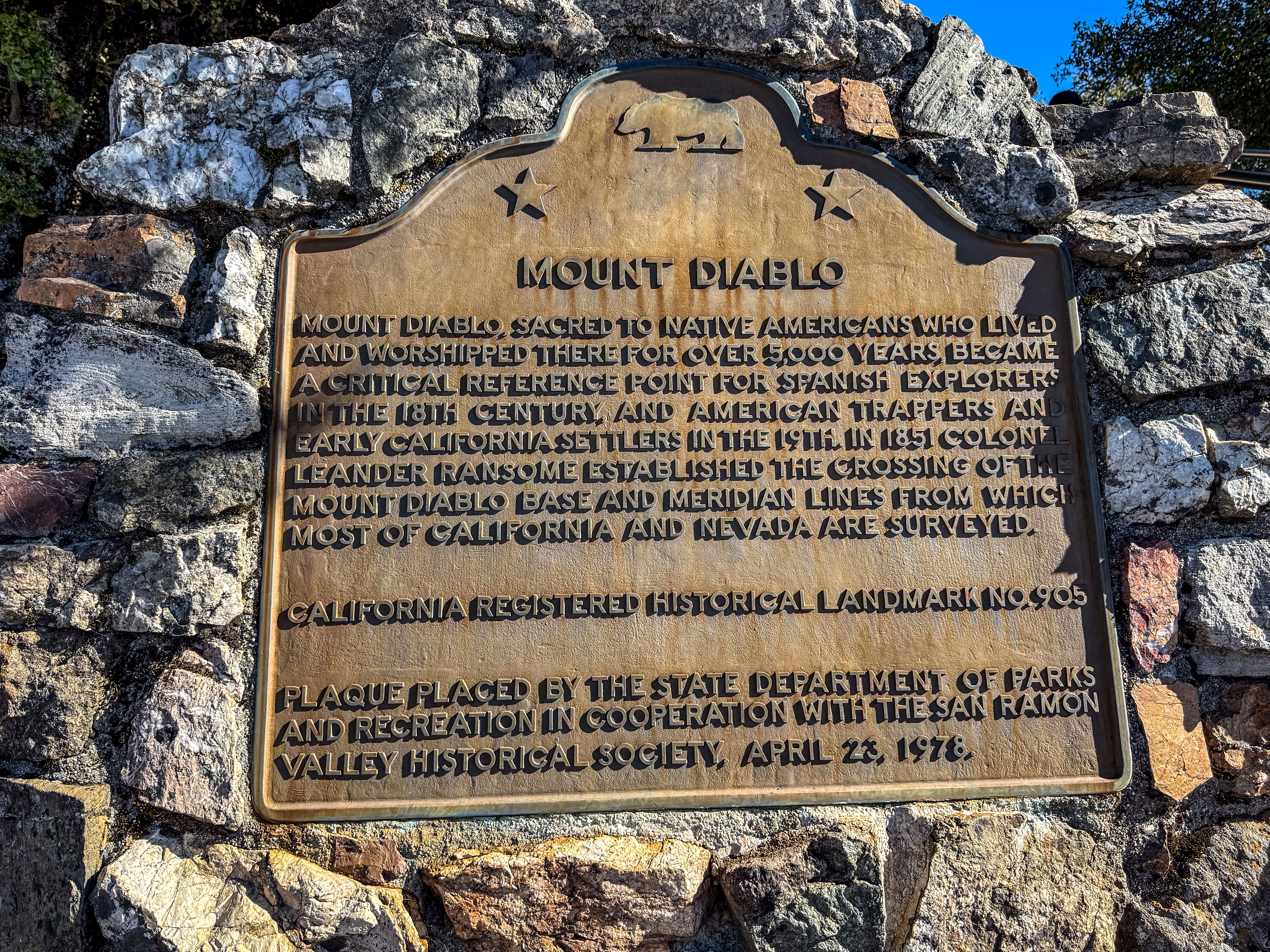
Since you may not be able to read the sign I’ll repeat it here: “Mount Diablo, sacred to Native Americans who lived and worshipped there for over 5000 years, became a critical reference point for Spanish explorers in the 18th century, and American trappers and early California settlers in the 19th. In 1851 Colonel Leander Ransome established the crossing of the Mount Diablo base and meridian lines from which most of California and Nevada are surveyed.”

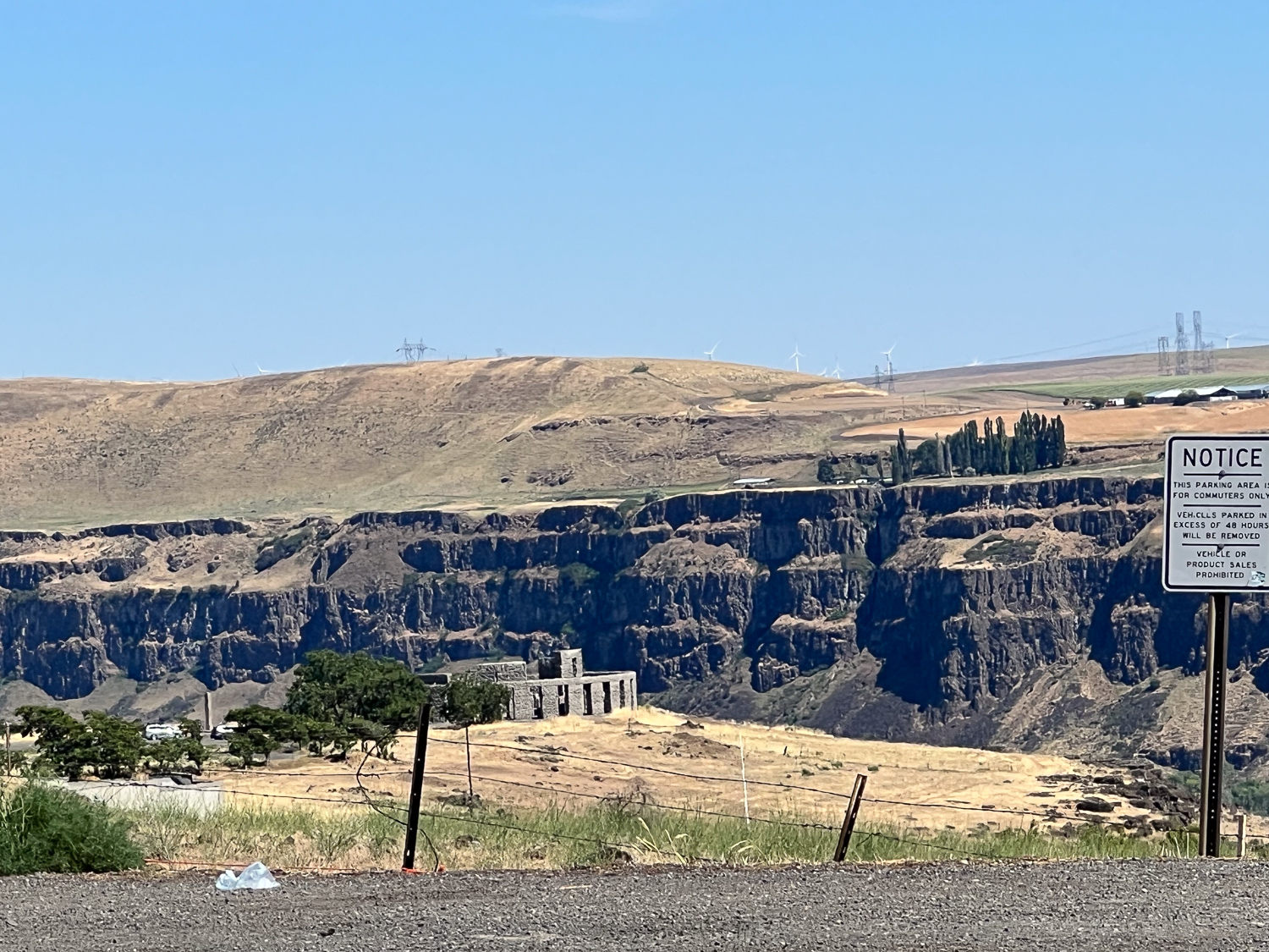
In the days before electronic navigation the light on top of the rotunda (once on a 75-foot tower) served as a crucial route-finding aid. It was turned off after the attack on Pearl Harbor amid fears that it could guide the enemy to an attack on the mainland. It is now dark except when it is lit on December 7 as a memorial to those who died at Pearl Harbor.

This is inside the rotunda.

View north-northwest.

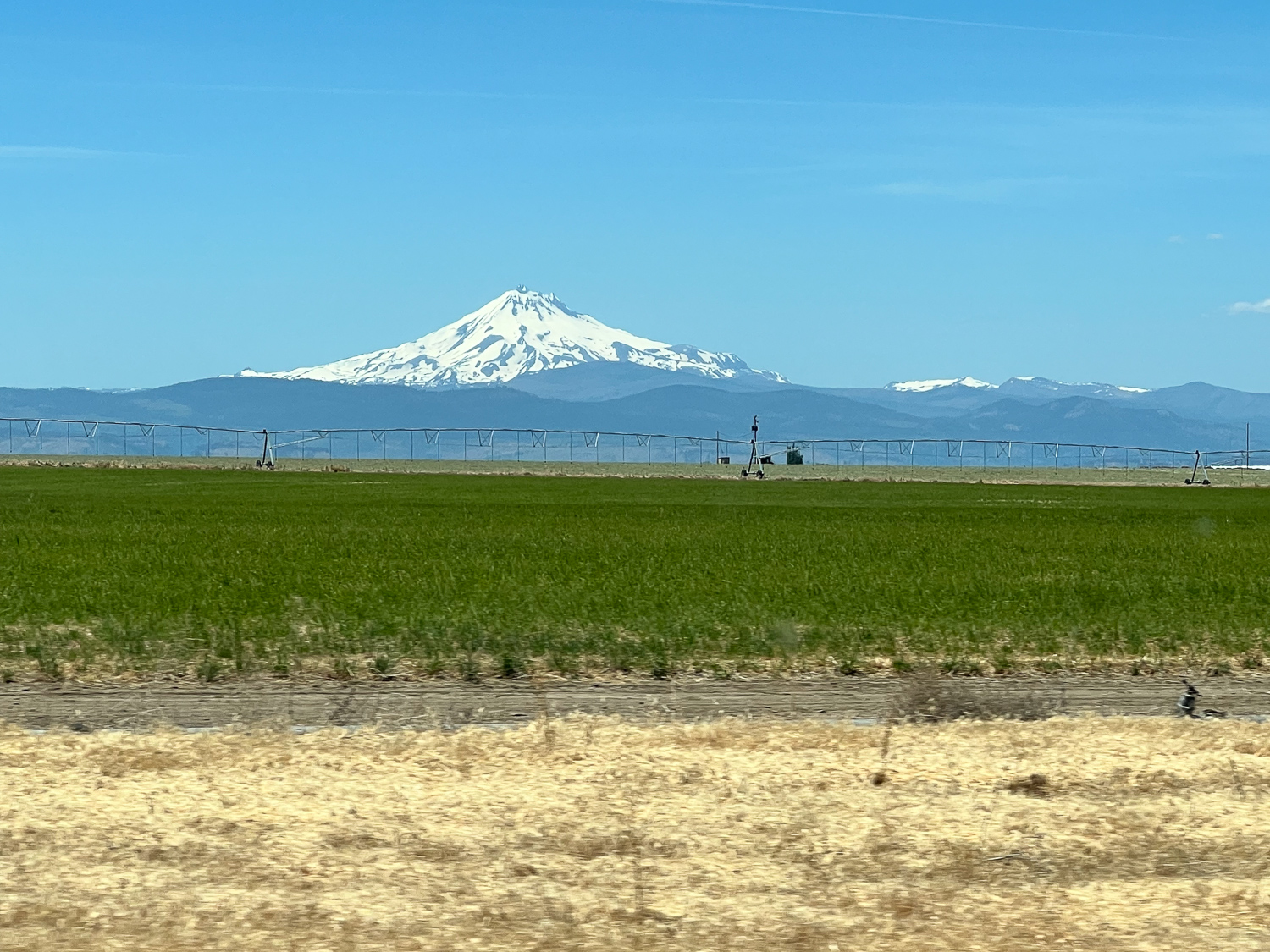
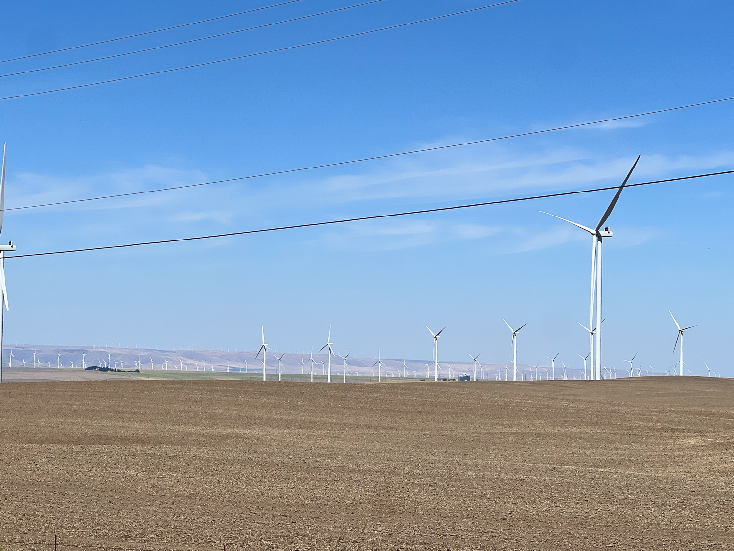
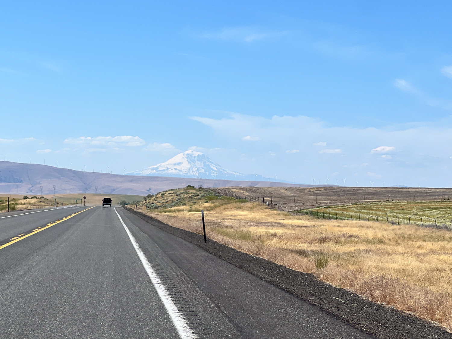
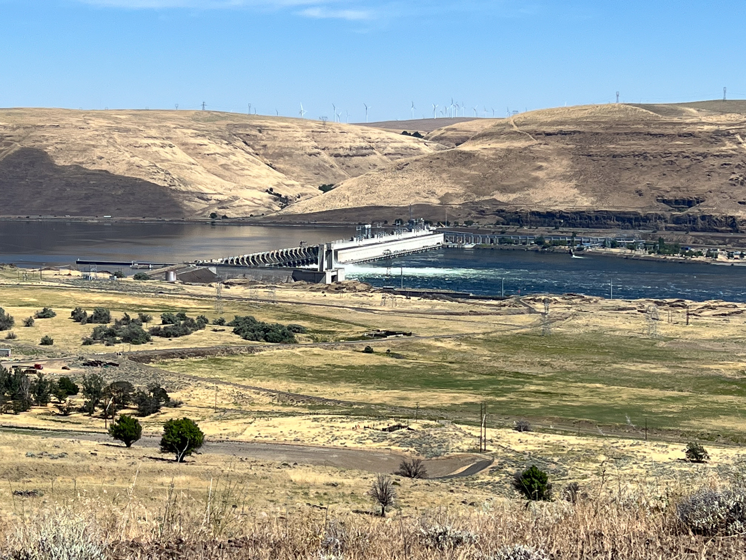
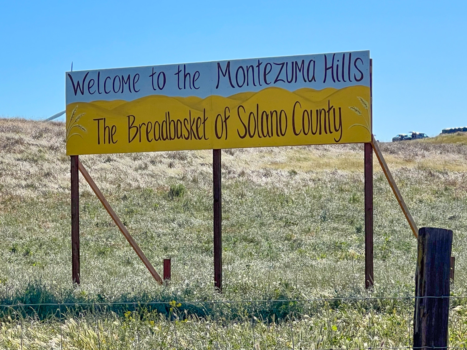
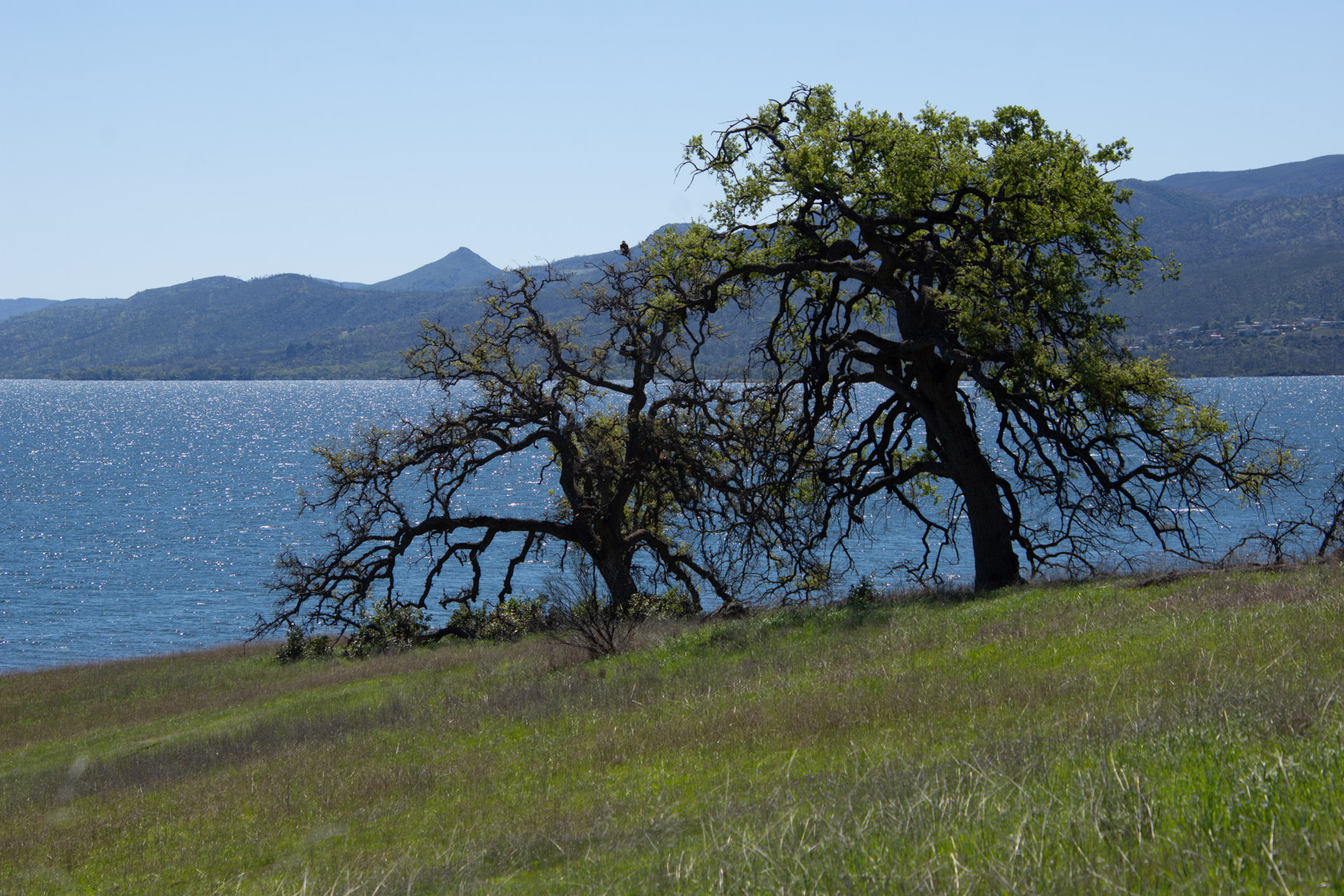
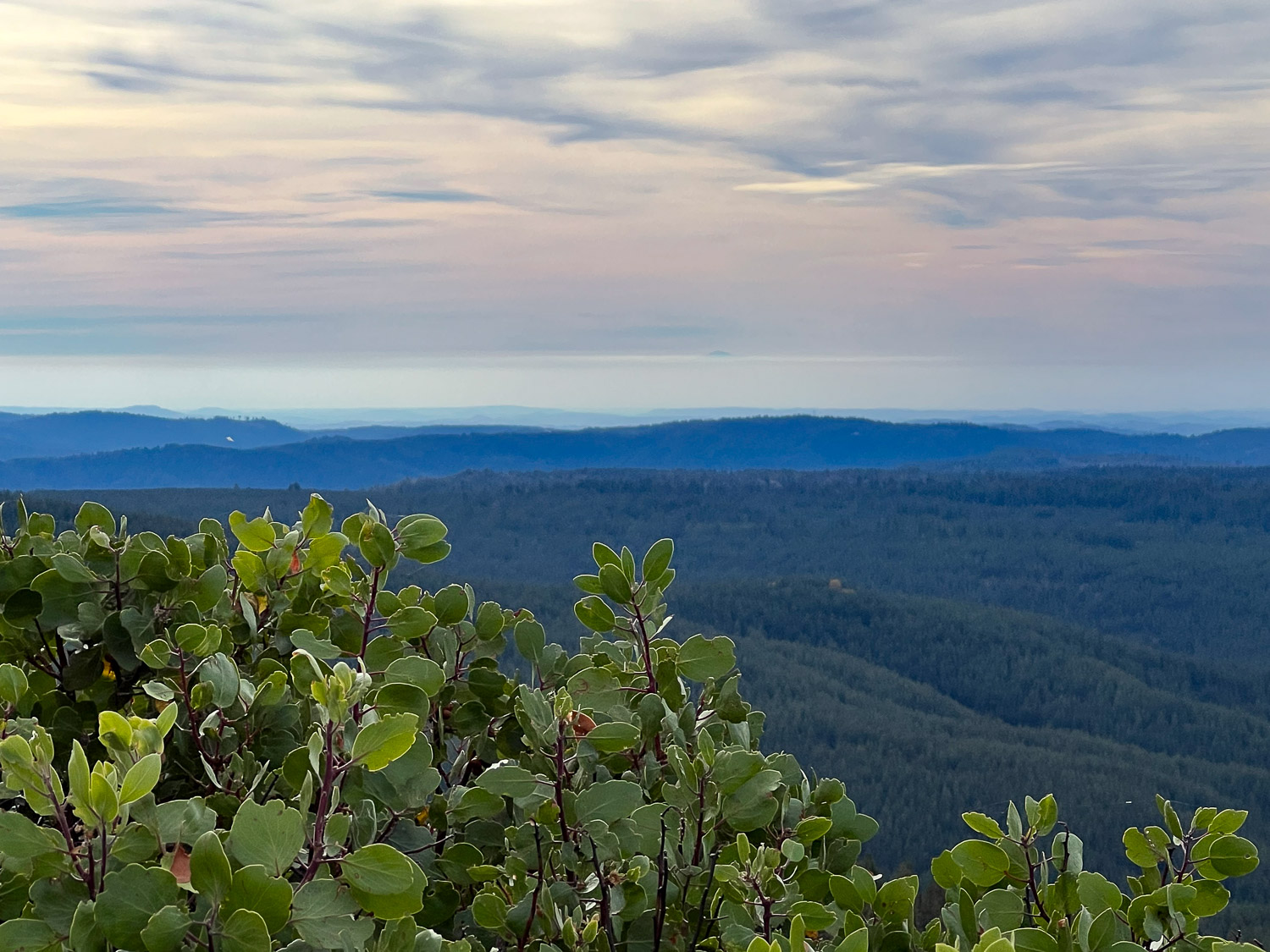
View to the north. If I can see this mountain from where I live it seems as though I should be able to see my house from the mountain. I guess not. It’s out there somewhere. You can make out the windmills that are south east of our farm and we think what you can barely see left of center under the horizon is Travis AFB.

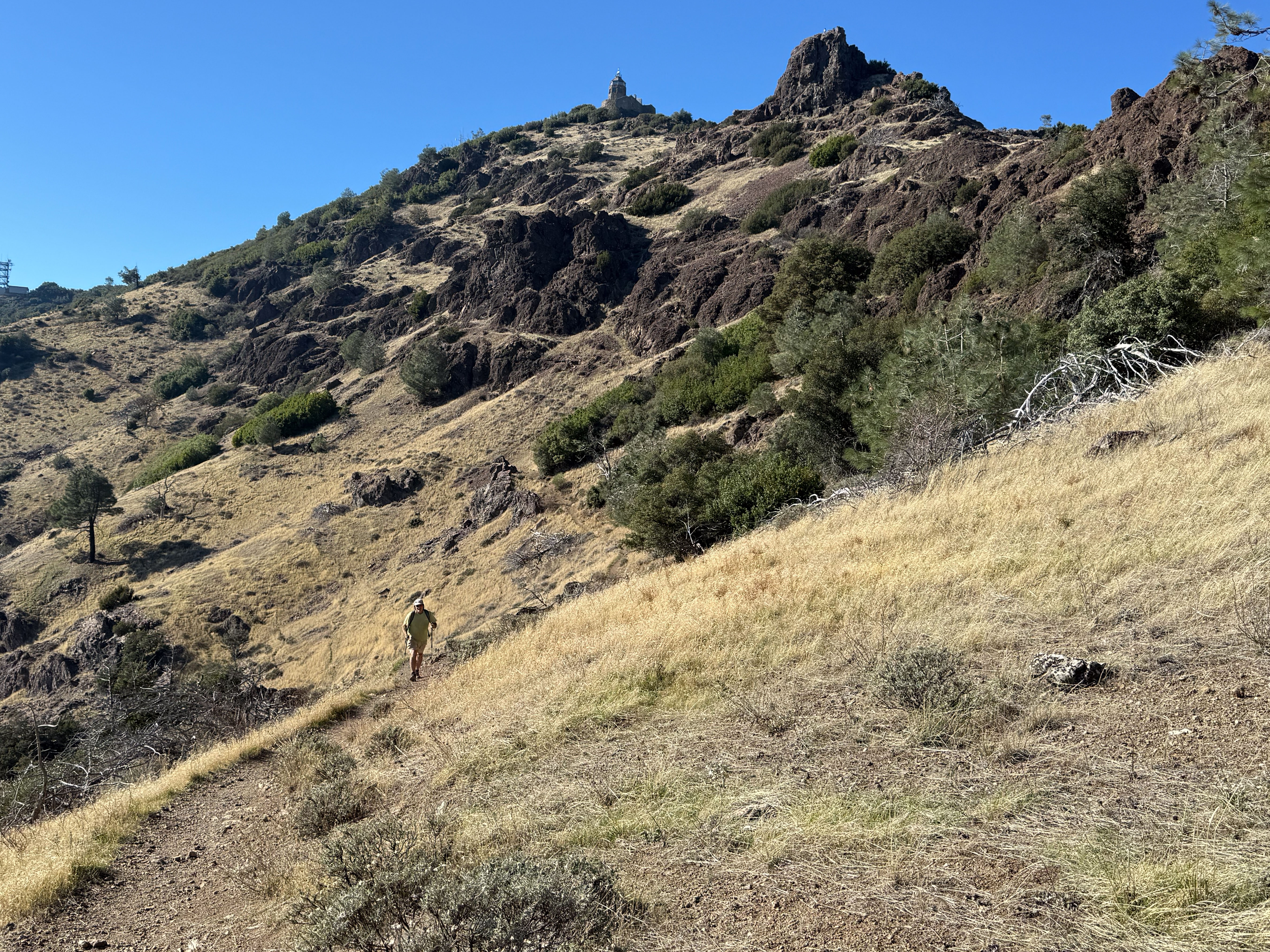
This is the view of the rotunda on our way down the mountain.

View to the east.

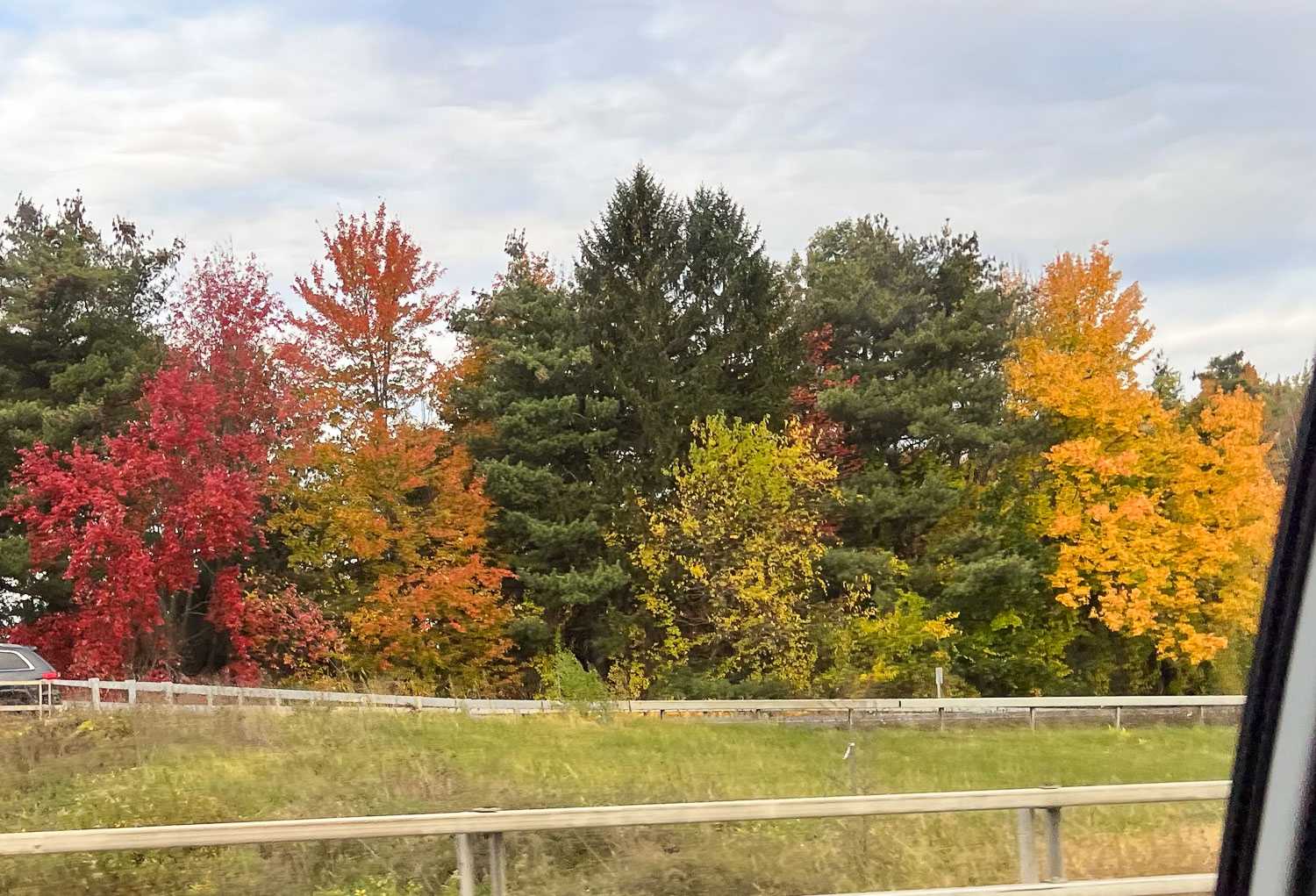
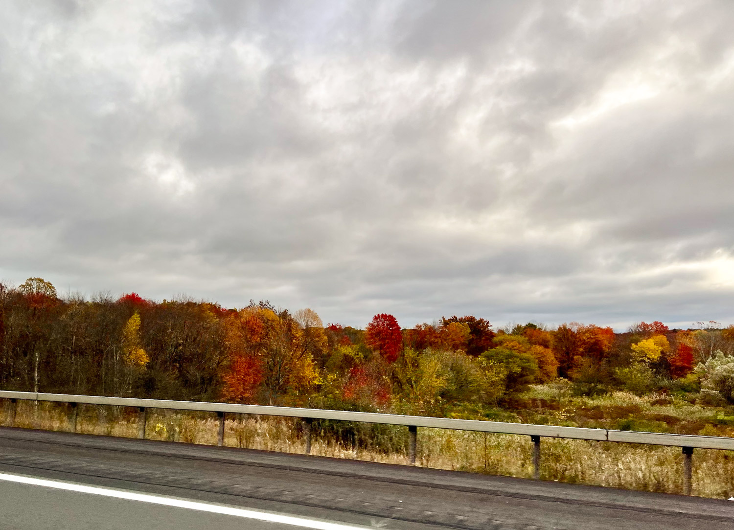
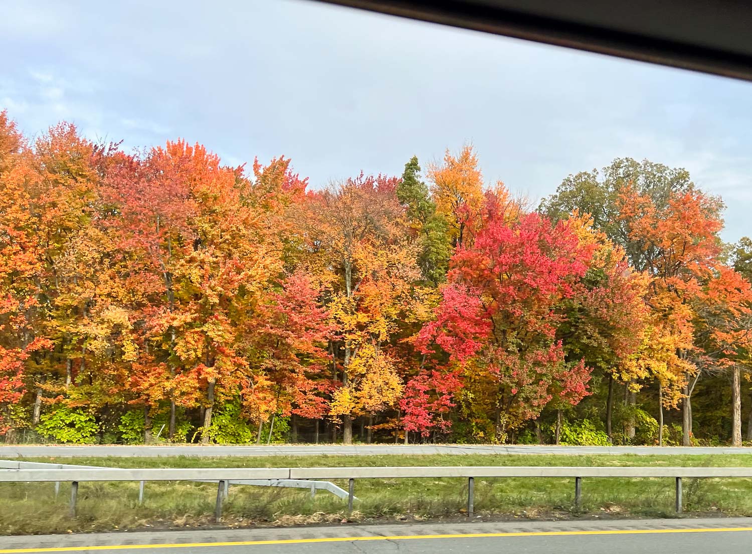
We saw a little bit of fall color. I took few photos on the hike back down. It was the most challenging part of the day. We followed a dirt road that is used to access communication towers on another mountain top. Downhill and a road. Sounds easy, right? It was so steep in parts that if I hadn’t had a walking stick to brace against I would have been slipping the whole time on those parts. Even with the stick it seemed treacherous. I hadn’t thought to bring walking sticks, but Dan and Dave had. On the way down Dan had left one of his with me. Once I started hiking this road I realized that his trip would have been extra challenging with his new knee joint and using only one stick.

We got back to the car before dark.

I had turned on my Map My Walk app before starting (blue dot). Somehow it turned off not long after we started and only started up again when we were sitting on the top eating lunch. So these stats are only half of the hike. We think our hike was 13 to14 miles. A good day.

New Year’s Day 2025

I planned to go on a hike today, but that was mid-day. Feeding sheep is first.

Sunrise viewed from the barn. After chores I drove to the newly opened 1500 acre Patwino Worrtla Kodak Dihii open space park managed by Solano Land Trust, outside Fairfield and only about 25 minutes from home. I had never been to this park but had read about the progress made on opening it for the public.

The park is usually open Friday through Monday, but there was a special New Year’s Day docent-led hike. There is good signage throughout the property so you can always figure out what trail you are on. We started at the Welcome Plaza at the bottom of this map. We saw the east half of the property, making it to the loop at the northeast and then back down the Bay Area Ridge Trail. That was just under six miles total.

This is oak woodland. The blue oaks are deciduous so they are bare now. The recent rains have brought the landscape to life with green grass.

That is Mt. Diablo in the distance. That’s the mountain that features in many of my Across the Road photos because those are taken from the property just across Meridian Road where we live. Wikipedia says, “The Mount Diablo Meridian, established in 1851, is a principal meridian extending north and south from its initial point atop Mount Diablo in California at W 121° 54.845. Established under the U.S. Public Land Survey System, it is used to describe lands in most of northern California and all of Nevada.” DavisWiki says “Meridian Road is a north-south road, roughly located between Dixon and Vacaville. The Meridian refers to its location on the principal meridian for NorCal for the US Public Land Survey. If you were to travel due south from the road, you’d hit the peak of Mt. Diablo, a prominent geological landmark.”

The wind turbines along Hwy. 12 on the way to Rio Vista feature in the view to the southeast.

There are live oaks interspersed with the deciduous blue oaks.

These blue oaks are magnificent with and without leaves.

Another view that includes Mt. Diablo. Hopefully I’ll go hiking there one of these days. I was there in 2020 and this is the blog post (on my website) about that.

I will definitely be back here in the spring for wildflowers.

November Adventure – Joshua Tree NP on Day 2

I’m interrupting the Pasture and Irrigation Renovation posts (#9 of that series) of the last few weeks because we had an adventure before the project was completed.

Two Road and Recreation Atlas books on my lap. One says Arizona and one says California.

Chris was to compete in the Tempe (AZ) Ironman on Sunday. Dan had gone to Idaho for a visit and to pick up Chris’ bicycle so he wouldn’t have to ship it. We left November 14 (Thursday) with the plan to camp part way and get to Tempe mid-day on Friday.

Sign that says Entering Joshua Tree National Park with blue sky behind.

I took this photo when leaving the park on Friday, because by the time we got to Joshua Tree NP it was dark and I did not take a photo at the west entrance. I did not take any photos that evening. We set up the tent and ate bagels and cheese for dinner. This trip was not intended to be a real camping trip. We just needed a place to stay on the way to Arizona and it seemed that it would be fun to have short National Park experience. When we got there we realized that we hadn’t even brought any water, other than the water bottles we’d already emptied. I have learned that I am not a winter camper. The last (and maybe only other) time I have camped in the winter was at Big Bend National Park in 2017. I know that because I just looked for the blog post and found it. I have the same sentiment now that I did then–you get to a campsite in the dark and it’s not bedtime but you have to get in a sleeping bag to be warm.

Brown tent in campsite with rocks behind. Sunrise glowing in the background.

I think we got in sleeping bags about 6 p.m. I read awhile and eventually fell asleep. I woke up at midnight and the wind was howling and the rain fly was slapping the tent. Dan told me the next day that he wondered if he left the tent in the middle of the night if it would blow away with me in it! I read until I finished a book about 3 a.m. and then slept. I woke up early and thought I’d be better off moving than lying in the sleeping bag for longer. I thought I might find some sun since it was starting to come up.

I found a marked trail not too far from the campground.

I didn’t see any bighorns, but I liked the sign.

Dawn in the desert.

Bird nest surrounded by cactus spines.

This seems like a prickly place for a bird nest, but maybe it’s protected that way.

Remnants of adobe house. It's just parts of walls standing now.

We were staying at the Ryan campground, named for the Ryan family who settled this area in 1896. It’s hard to imagine that 60 people lived here and worked in at the ranch and mine until 1908. This is one of the buildings built of adobe bricks. There are other remnants of the ranch as well.

Desert landscape with mountain in the background.

You can see this structure centered the right of this photo. Those two large rock features are part of the campground and our tent was behind the one on the right.

Old windmill blades on the desert sand with dry grass in the middle. Mountains with sunlight in the distance.

Part of a toppled windmill. At this time the sun had reached the hills across the valley but there was not sun where I was.

Trail through desert with sunrise behind the hills.

I continued my walk until sun appeared over the hill and from behind clouds and I could stand in a sunny spot for awhile.

Tent and picnic table with ice chest and food box.

The tent was still in the shade when I got back. Dan had emerged, but maybe you can tell that he was cold. We didn’t linger there, but packed up and headed for Arizona. We did spend some time in the park, stopping to read signs and take in the sights.

Landscape with rocky points in the foreground and the Coachella Valley below.

This is a view over the Coachella Valley with Santa Rosa Mountains in the background and the San Andreas fault at the eastern edge of the valley.

Cholla cactus in the foreground, hills and blue sky in the background.

We stopped at the “Cholla Garden”, a location along the road filled with cholla cactus.

Close up of cholla cactus, spiny with remnants of yellow flowers.
Dan walking on trail with cholla cactus filling the landscape.

This is a fascinating landscape, and I’m glad it’s preserved by the National Park system.

Sign explaining differenced in Mojave and Colorado deserts.

Another sign tells that Joshua Trees live only in the Mojave Desert and that is in the northern section of the Park. The Mojave and Colorado Deserts overlap in the park and the vegetation in each is different.

A Birthday Hike

My birthday was last weekend and I wanted to go hiking. I thought about Mt. Diablo or Pt. Reyes or Mt. Tamalpais, all places that I’d like to explore, but the thought of Bay Area traffic discouraged me. Then I realized that I could take advantage of some open space that is closer to home.

Lynch Canyon is in Solano County just north of the freeway between Fairfield and Vallejo. In the 1980’s the property was purchased by a company who proposed a landfill. Thankfully that was rejected by Solano County voters and the land is now owned by Solano Land Trust.

The land is rolling hills dotted with oak trees. We had the first real rain of the season the previous evening so this may start to green up soon. On the morning of our hike the vegetation was all dry.

The trail we chose headed generally west. I wanted to get to the top of the hills for the view.

My brother, Dave, was with us.

This area could be stunning when there are spring wildflowers. The only plant flowering now was tarweed.

The thistles were an interesting contrast.

That’s my brother.

Cattle graze these hills right now.

This was a beautiful day for a hike.

Once we got on top of the hills we had views all around. This is looking southeast over American Canyon and the marsh land where the Napa River ends at San Pablo Bay. If I turned around I could see the windmills along Hwy. 12 to the east.

We could see Mt. Diablo to the south.

An easy 6-mile hike was a good way to spend my birthday.

When I got home I walked Across the Road with Ginny. Do you recognize that mountain in the distance? That’s Mt. Diablo at a little different angle than the phioto from Lynch Canyon.

Road Trip 2024 – Day 1 & 2

Finally…another Road Trip. The last real trip Dan and I made was in 2019. Yes, we drove to Estes Park last year, but it’s not the same when you have a trailer full of sheep and can’t stop to play along the way. This trip was planned to coincide with the opening night of an art show in Trinidad, Colorado, but I’ll get to that in a later post.

I drove my granddaughter to the airport Tuesday morning (July 30), and we were finally packed and ready to go by about 5:30 that evening. How do we get away when there are all these sheep to take care of? Thanks go to Farm Club members who were able to spend two to three days each to take care of sheep, the garden, and of course, Ginny.

We have our phones, but I sure like to follow along with real maps. We can find a lot of interesting details along the way, figure out USFS lands where we can camp, and get a broader overview of an area. Then I use my phone to look up odd place names and read background info as we travel.

Some of my photos will be “drive-by” where there are plenty of windshield splotches visible. I haven’t been in the higher Sierras lately. I don’t think I’d seen this devastation from some of the fires over the last couple years. I think this was from the 2021 Caldor Fire that burned in the El Dorado National Forest and beyond. There were miles of devestation.

We drove east on Hwy. 50 and turned south towards Markleeville and then Hwy 395 on the east side of the Sierras. It was dark by the time we were near Mono Lake where we decided to spend the night. We got gas ($6+/gallon) as the last station was closing in the nearest town. Then we found a place to park the truck and camp.

This photo is from the next morning. Our style of camping is to bed down on the platform Dan made in the back of the truck. I sleep on a foam pad and a sheepskin and am almost as comfortable as in a real bed.

It’s hard to imagine that this was once part of the lake. The sign in the next photo says that in 1994 the State Water Resources Control Board set a target level of 6392′ which is 25′ below the lake level in 1941.That decision decreased diversions by Los Angeles from four Mono Lake tributaries.

I don’t know how much progress has been made but there is still a long way to go, The mandated level of the lake will be at the base of these signs

We walked down the board walk to the lake edge.

From The Geology and History of Mono Lake: “Along the southern shoreline of Mono Lake, large tufa towers or pinnacles rise above the water’s surface. These iconic pillars, comprised of precipitated calcium carbonate, formed over thousands of years by the interaction of freshwater springs and the highly alkaline waters of Mono Lake.” This website also says that when the water diversions were stopped in 1994 the lake was at about half the water volume and twice the salinity of what it was before the water diversions began.

Mono Lake
Mono Lake

After exploring a bit of the lake edge we got on the road. We planned to camp at Great Basin National Park, on the eastern edge of Nevada, Wednesday night.

We have always wondered about the Clown Motel which we discovered on a trip through Tonapah when we made a decision to NOT stay there and try another. It is even more clown-themed now than I remember it from before. I just looked it up and found that in 2019 it was purchased by someone who embraced that theme and has modernized the motel. I read more and found that there is a history to the clown theme. You can see that here if it intrigues you.

We made it to Great Basin National Park by about 5 p.m.

I needed to get out of the truck and get some exercise. After we chose a campsite I followed a trail along the nearby stream about a mile and a half. We didn’t see any warnings about bears, but I started thinking about them and wondered if hiking by myself near dusk was a good idea, especially with the recent fatality in CA by a mountain lion. The only bear encounters we have had were at Grand Tetons and Yellowstone, but maybe it’s the older I get the more I know that sometimes things go wrong. I decided to turn around. I still enjoyed the beautiful scenery.

This was our camping spot.

Ironman 70.3 at Coeur d’Alene Idaho – Day 1

I think we’ve made it to all the Ironman events for Chris and Matt. When I search the blog I used from 2019 through early 2023 I found 11 posts about our Ironman experiences. The earlier WordPress blog (which is what I’m using now) had Chris’ first Ironman in 2013 and the second one in 2016. Do you see the purpose of these blog posts? Like I’ve said before, they replace the old scrapbooks. And now, to have the best of both worlds, Matt has made real books out of many of them (see this post).

Chris had to fit this Ironman in before fire season. Chris and Meryl live in Boise and Chris works out of McCall, so it seemed that Coeur d’Alene was doable. For us it was a 13 hour drive. This post is all about the drive on the first day.

Idaho map book on dashboard of card.

We left at 5:45 a.m. on Friday, only 45 minutes behind schedule. The event was on Sunday so this would give us a day to check out the course, check in the bike, and visit with Chris and Meryl.

It was good to see that Shasta Lake is full.

I always look forward to seeing Mt. Shasta.

We veered off I-5 at Weed to take Hwy. 97 into Oregon. I interned for a summer in the mid 1970’s (or was it two?) in Siskiyou County for the USFS. This is the station where I reported and I lived in a tent at a campground about 10 (?) miles away. I have forgotten a lot of details. I wouldn’t mind going back there to see it, but this wasn’t the trip for getting side-tracked. There were lots of memories driving through this area though.

Once in Oregon we were struck by the mountain peaks rising so far above everything else. I’m used to our area where you see a whole range of mountains when the sky is clear enough. Here it’s interesting to see individual mountains that rise above all the rest. This one is Mt. Jefferson (I think), 10,502′ at the peak.

I have lots of landscape photos but I can’t put them all here. I don’t know if I’ve driven this stretch through Oregon. The main feature along this part of the route was the grassland. In fact over 173,000 acres are designated Crooked River National Grassland

I’m skipping ahead. We’re still in Oregon but with a view of Mt. Adams in Washington.

This is crossing the Columbia River at Biggs Junction, entering Washington.

This is the view from the north side of the Columbia River.

There is an interesting structure on the north bank of the river. This is known as Stonehenge and it was constructed in 1918 to memorialize the men who fought in WWI. See the whole story here.

John Day Dam is not far from where we crossed the river. Construction started in 1958 and it was first used in 1971. I am fascinated by the lock structure that lifts a maximum of 113 feet, seen on the left in this photo.

View crossing the river at Kennewick.

Knowing that Dan would want to do most of the driving, I brought a ridiculous amount of projects and unread magazines with me. I spent the first few hours working on the article I’m writing for Handwoven that was due soon. Once we got into the Northern California mountains and then through Oregon and Washington I wanted to see the scenery. I didn’t get anything out until the last bit when I pulled out this inkle loom to thread it.

It was still daylight when we got to our motel. We met up with Chris and Meryl briefly but everyone needed to get some sleep. To be continued.

Sheepdog Trial at McCormack Ranch

Sheepdog trials have been held off and on in the area of the Montezuma Hills in Solano County since the 1930’s. They have been a more regular occurrence at the McCormack Ranch since 2013, but the Covid pandemic disrupted the event. This was an important year for the Sheepdog Trial return because of the threat to Solano County from a group of wealthy investors whose plan to build a city in this area have disrupted many lives here. I encourage you to visit the websites for Solano Together and Solano Rural Defense to learn more.

This text is from the Solano Together website: “California Forever” is a sprawl development project proposed for eastern Solano County by a group of billionaire Silicon Valley investors known as “Flannery Associates.” Since 2017, the group has acquired 62,000 acres of agricultural land between Fairfield, Rio Vista, and beyond—an area larger than both Fairfield and Vallejo combined—for over $900 million. Since the purchase of the land, concerned Solano County residents have accused Flannery of deploying secretive tactics by keeping their identity elusive and misleading the public, government officials, and landowners about their intentions. Later, Flannery launched a half a billion dollar litigation process against local farmers and ranchers who refused to sell to them, accusing them of antitrust behavior.”

The screenshots are from Solano Rural Defense:

I got carried away there. This post is supposed to share photos of the weekend. Our small but dedicated group called Fiber Farms and Friends planned to be there and work with the Solano Together coalition to attract attention and discuss the issues. There are no photos from Saturday. Although we tried to attend the event to educate the public and promote the cause, a major storm disrupted the event for the public. The dogs still competed, but it was far too wet and windy for most spectators and for those of us trying to set up displays. We started with the canopy up and weighted with sandbags in 5-gallon buckets, but we had to take it down when the wind started to take it apart.

Sunday was gorgeous.

This is the sign that marks one of the turns I took to get to the ranch. I don’t remember the numbers, but the thousands of acres of wheat harvested here each year result in well over a million loaves of bread. The wheat is farmed without irrigation and relies on rainfall. That is what “dryland farming” is all about and we resent that the Flannery group talks about this area being of low value.

We set up a canopy next to RioVision, an organization created to “build, revitalize, energize and beautify the Rio Vista community”, the closest town to this area. The Solano Together representative, a member of one of the multi-generational family farms here, set up the sign at the corner of our area.

It’s hard to see, but there is a group of sheep penned near the top of the hill and there are 4 sheep with a dog and a person just below. They are waiting for the next competitor.

The handler of the competition dog stays near the white post while the dog is sent up the hill to gather the sheep. The dog must take the sheep through a series of panels and demonstrate “the shed” and “single”–that the dog can split the group or separate a sheep when necessary. Then the dog puts the sheep in the pen. There is a time limit for this activity and there is a judge who determines points for each component.

Many dogs were waiting in their vehicles, but there is a group here who are attentively watching the action.

Most of the time while the dogs were working we were spinning (Beth and Carol) or weaving (me). These activities always draw attention and we spent a lot of time explaining the processes while then explaining that we were here to support the Solano Together cause.

That’s the Solano Together corner of our canopy. That was all that was needed because the main point is to talk to people.

I set up this display next to my small loom. I remembered that I had some signs left from when I did a show at The Artery several years ago. This was a good time to bring them out. I also found that I had a little yarn left from the Anderson Ranch shearing (see blog post from 2014). I wove shawls, one of which I will donate to the cause to be a visual prop of what this land is about and to sell or raffle for fund raising. The scarf I was weaving is also from Anderson Ranch wool.

During the lunch break these musicians played. I wish I could remember their names. They were here on Saturday also. Can you image trying to do this with the rain wildly blowing through? None of us could function out there and had to give up then. On Sunday I was talking to people and couldn’t pay attention most of the time, but I realized I was singing along to “This Land is My Land” and then the words would change. These musicians have adapted the words of many familiar songs to the local land.

This was a wonderful way to showcase what is at risk for many farmers personally and for Solano County and California in general. Notice that mountain way in the distance.

This is of where we were stationed, just to the right of the last photo.

After I got home, I walked Across the road, my regular route. One thing to point out is that this is not dryland farming. Irrigation water is used most other areas of the county. This field I planted to a new crop of alfalfa. It was tomatoes last year and sunflowers before that. That mountain in the distance is Mt. Diablo, the same one I pointed out in the previous photos. I’m looking at it due south. It was to our west at the McCormack Ranch.

Springtime Hike

On Monday we went on a hike with my brother and sister-in-law. I think it was actually a walk because the trail followed the edge of the lake fairly closely. Doesn’t a hike involved dramatic changes in elevation or at least some level of difficulty? Regardless, it was a beautiful day while the annual growth is still green and not all the trees have fully leafed out. (Is that a word?)

We drove to the north end of Lake Berryessa and stopped at the trail head.

My brother has been here several times and expects to find ospreys and eagles. We saw ospreys in the air on the way here and found another not long after starting on the trail.

This is a view of the landscape and the lake. There is an osprey in this photo also, but you have to look hard to see it.

Here is the osprey, right in the middle of that other photo. Notice there are two here. One is below the nest.

Another view across the lake. What a beautiful site for a ranch headquarters.

I have always taken more photos of plants than birds. Plants sit still longer and I can get closer.

Here is a magnificent oak tree.

The oak woodland landscape.

We noticed several trees with holes in the bark. Can you tell what is in the holes?

The holes are filled with acorns.

The acorn woodpecker is responsible for this. Wikipedia has this to say about this behavior: Acorns are stored in small holes drilled especially for this purpose in “granaries” or “storage trees”—usually snags, dead branches, utility poles, or wooden buildings. Storage holes—always in dead tissue such as bark or dead limbs—are used year after year, and granaries can consist of thousands of holes, each of which may be filled by an acorn in the autumn.

This turkey vulture wasn’t about to leave his meal, although three others did fly off as we walked by.

Can you spot the bird here?

This one is a bald eagle.

We walked about as far as La Pointe (on the map at the top) and turned around because we all had visitors coming for dinner. On the way back we saw the same osprey pair.

This is Dan, me, Kathy, and Dave thoroughly enjoying the day.

A Birthday Hike

M birthday was last week and I spent the day with my son exploring some of the El Dorado National Forest.

Matt drove and I wasn’t looking at a map so all I know is that we headed up Ice House Road and went beyond some of the other areas we have hiked in the past. The first stop was to look at the Van Vleck Bunkhouse, built in 1957, and now rented by recreational users from the Forest Service.

I had no idea that the Forest Service was in the vacation rental business. This might be a fun place to stay with a group of people. It sleeps six, has propane for cooking, but no electricity, and has running water during the summer.

This is the meadow south of the bunkhouse with Desolation Wilderness in the background.

Matt didn’t care that there was no water. He tried out the bathtub at the edge of the meadow.

This is more of what was the meadow. Matt said that several years ago they did a prescribed burn here to maintain the meadow, but trees are encroaching again.

After leaving the meadow we drove further and then followed GPS coordinates to find the site of a plane crash in 1941. The info at that link tells of the air force pilot and crew that were flying a B-17, known as the Flying Fortress, from Salt Lake City to Sacramento. Due to weather and mechanical issues it went down on November 2, 1941. The pilot had ordered the passengers to put on parachutes. They all made it out but the pilot did not and two days later the crash site was discovered. We were here exactly 83 years later.

There is a trail of sorts to the site, but you’d still have to know where you’re going to find it.

The wing stretches off to the right. The other wing is at a different location.

This is what the remaining wing looks like.

Matt had the coordinates of other parts including the wing, and we walked farther to find the site, but didn’t see it before we turned back.

As we walked back down the trail I turned and could see the plane from an angle where I hadn’t noticed it before.

There were several downed trees in the area. I was surprised to see so many down with the roots pulled out of the ground. I suppose the severe storms last winter were to blame. The root structure of this one is massive.

Check out the size of this tree.

This was my view.

There were some big mushrooms too. You can’t tell from the photo but that one is bigger than my hand.

We drove back towards Matt’s house, but first turned up the road to Big Hill, the heliport where Matt used to work. This is the view of where we had been earlier with Desolation in the background.

View to the west. I wish I could make an arrow on this photo. I’d point it to the mountain top that is Mt. Diablo, the mountain that I see due south when I walk Across the Road at my house. There is a strip of white above the mountains, below the blue-turning-pink part. Do you see a small dark bump just above that white strip, just to the right of center? That is the tip of Mt. Diablo. I think it’s interesting to see it from a totally different vantage point.

New York Adventure – Day 6

If you read the first post in this series you know that I started Day 1 with our first full day here. There was a travel day before that one, as is Day 6. So this would really be our seventh day away from home…just maintaining some level of accuracy.

We took a group photo before we all left. The California contingent are the four of us on the left. Adrianne, on the right, stayed with us. We first met her in Maryland several years ago and have stayed in touch. She drove here from Ohio. Some of the best time on this trip was spent hanging out together in the living room and at the kitchen table.

Fall color on the way to the airport.

Our travel days were easy and without incident. they were just long.

Somewhere over the mid-west.

The Rockies.

Over Salt Lake, but it’s mostly under the plane.

More of the salt flats. Some of you fly all the time and you are used to seeing this. I don’t see this often and I like getting this perspective

Lake Tahoe and the Sierras. That means we’re almost home.

When we see the fields of the Central Valley it means we are home. Aren’t those beautiful patterns?

Those hills just under the sunset are “my hills”. Our farm is in the valley just east of the lower hills.