On Monday we went on a hike with my brother and sister-in-law. I think it was actually a walk because the trail followed the edge of the lake fairly closely. Doesn’t a hike involved dramatic changes in elevation or at least some level of difficulty? Regardless, it was a beautiful day while the annual growth is still green and not all the trees have fully leafed out. (Is that a word?)
We drove to the north end of Lake Berryessa and stopped at the trail head.
My brother has been here several times and expects to find ospreys and eagles. We saw ospreys in the air on the way here and found another not long after starting on the trail.
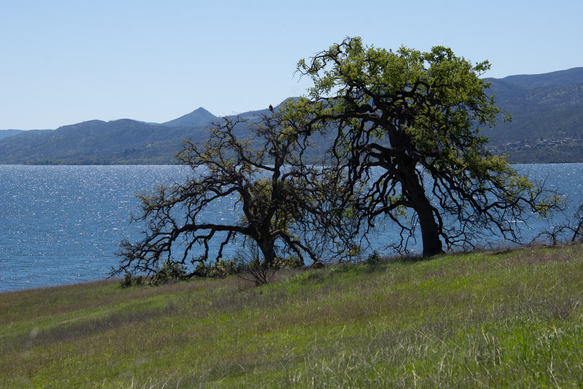
This is a view of the landscape and the lake. There is an osprey in this photo also, but you have to look hard to see it.
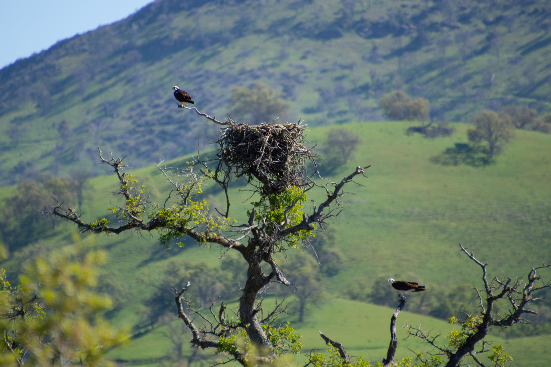
Here is the osprey, right in the middle of that other photo. Notice there are two here. One is below the nest.
Another view across the lake. What a beautiful site for a ranch headquarters.
I have always taken more photos of plants than birds. Plants sit still longer and I can get closer.
Here is a magnificent oak tree.
The oak woodland landscape.
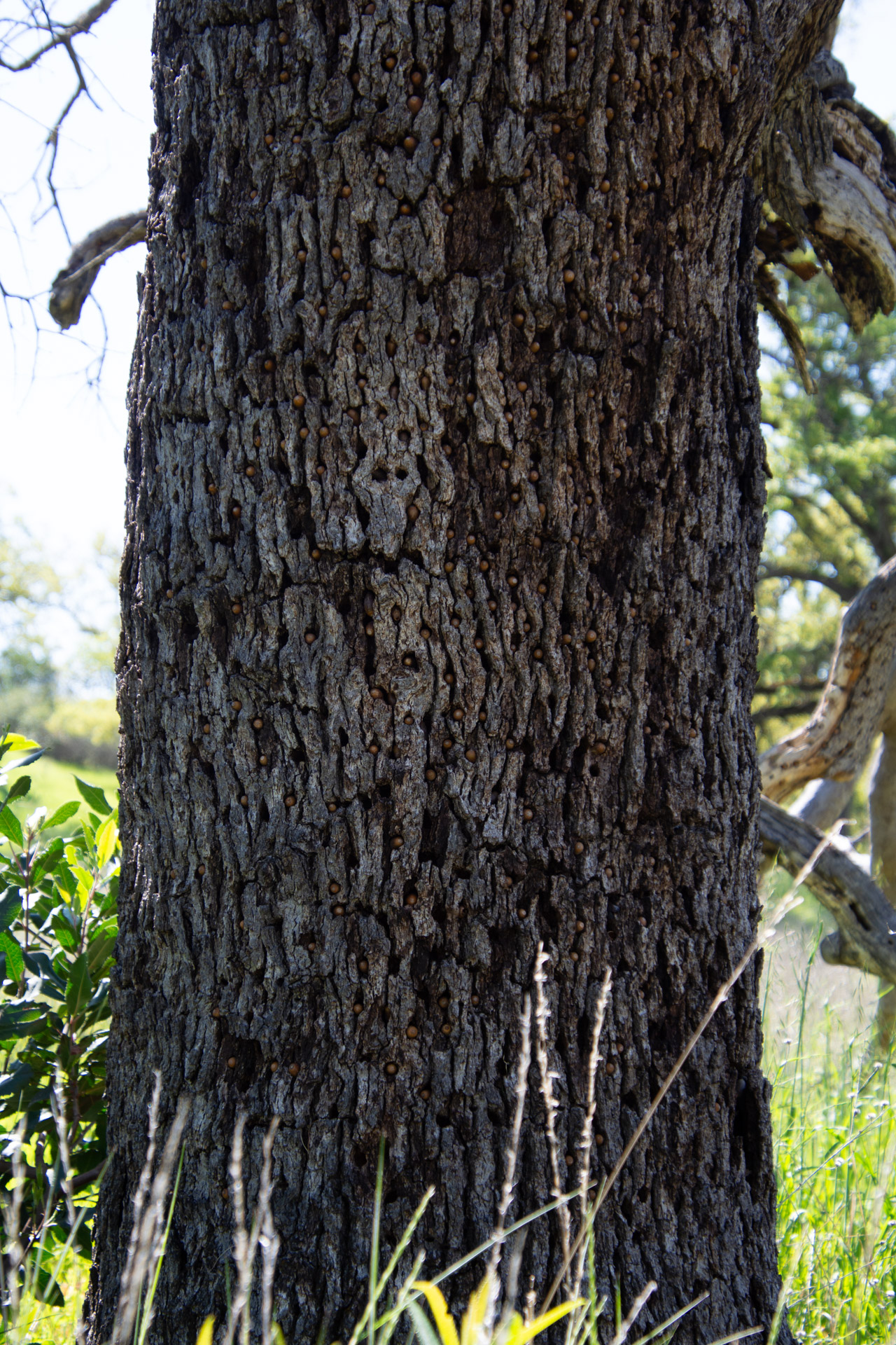
We noticed several trees with holes in the bark. Can you tell what is in the holes?
The holes are filled with acorns.
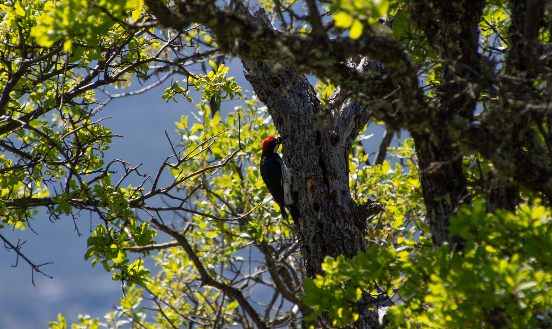
The acorn woodpecker is responsible for this. Wikipedia has this to say about this behavior: Acorns are stored in small holes drilled especially for this purpose in “granaries” or “storage trees”—usually snags, dead branches, utility poles, or wooden buildings. Storage holes—always in dead tissue such as bark or dead limbs—are used year after year, and granaries can consist of thousands of holes, each of which may be filled by an acorn in the autumn.
This turkey vulture wasn’t about to leave his meal, although three others did fly off as we walked by.
Can you spot the bird here?
This one is a bald eagle.
We walked about as far as La Pointe (on the map at the top) and turned around because we all had visitors coming for dinner. On the way back we saw the same osprey pair.
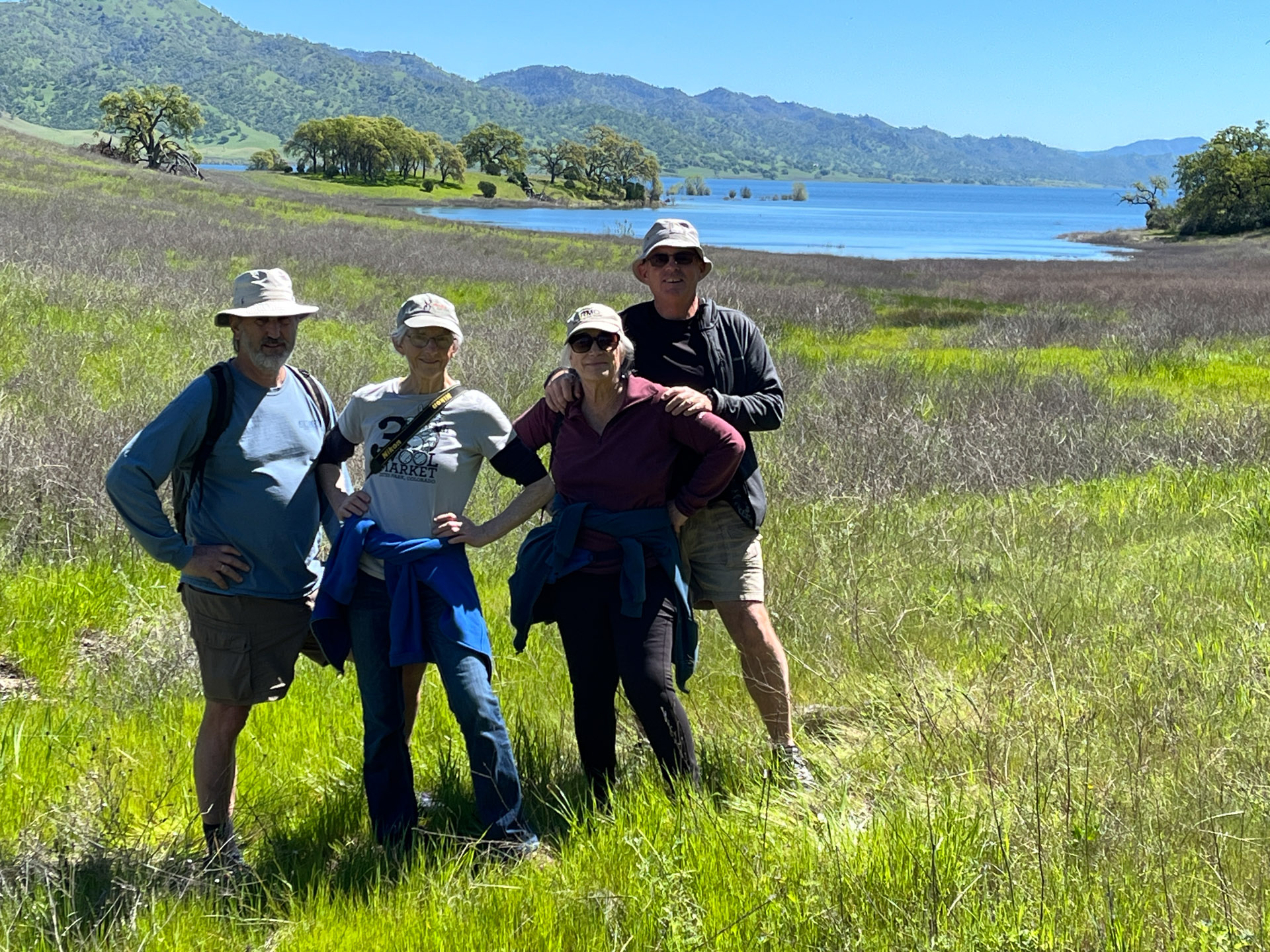
This is Dan, me, Kathy, and Dave thoroughly enjoying the day.
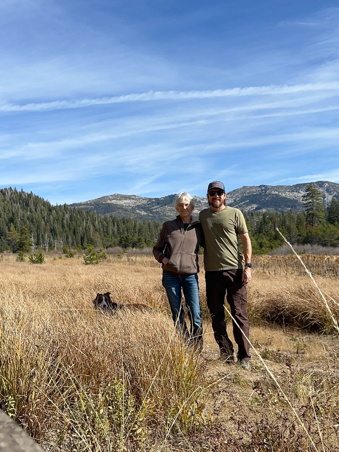
M birthday was last week and I spent the day with my son exploring some of the El Dorado National Forest.
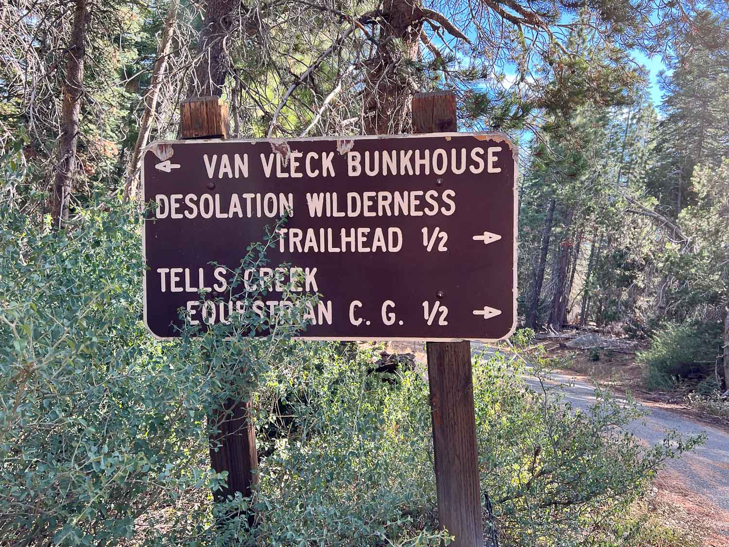
Matt drove and I wasn’t looking at a map so all I know is that we headed up Ice House Road and went beyond some of the other areas we have hiked in the past. The first stop was to look at the Van Vleck Bunkhouse, built in 1957, and now rented by recreational users from the Forest Service.
I had no idea that the Forest Service was in the vacation rental business. This might be a fun place to stay with a group of people. It sleeps six, has propane for cooking, but no electricity, and has running water during the summer.
This is the meadow south of the bunkhouse with Desolation Wilderness in the background.
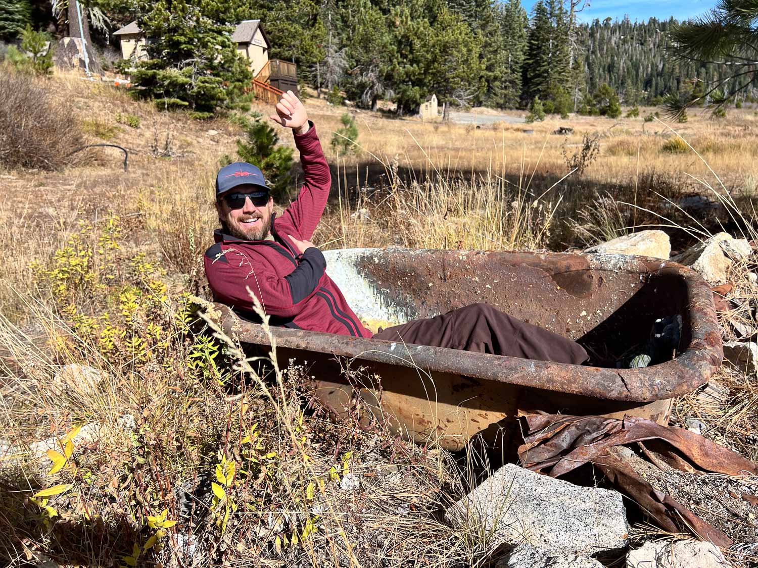
Matt didn’t care that there was no water. He tried out the bathtub at the edge of the meadow.
This is more of what was the meadow. Matt said that several years ago they did a prescribed burn here to maintain the meadow, but trees are encroaching again.
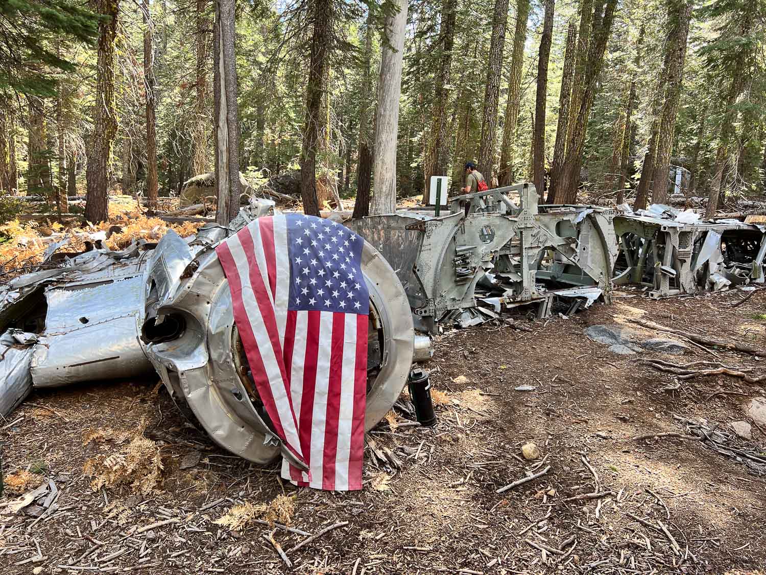
After leaving the meadow we drove further and then followed GPS coordinates to find the site of a plane crash in 1941. The info at that link tells of the air force pilot and crew that were flying a B-17, known as the Flying Fortress, from Salt Lake City to Sacramento. Due to weather and mechanical issues it went down on November 2, 1941. The pilot had ordered the passengers to put on parachutes. They all made it out but the pilot did not and two days later the crash site was discovered. We were here exactly 83 years later.
There is a trail of sorts to the site, but you’d still have to know where you’re going to find it.
The wing stretches off to the right. The other wing is at a different location.
This is what the remaining wing looks like.
Matt had the coordinates of other parts including the wing, and we walked farther to find the site, but didn’t see it before we turned back.
As we walked back down the trail I turned and could see the plane from an angle where I hadn’t noticed it before.
There were several downed trees in the area. I was surprised to see so many down with the roots pulled out of the ground. I suppose the severe storms last winter were to blame. The root structure of this one is massive.
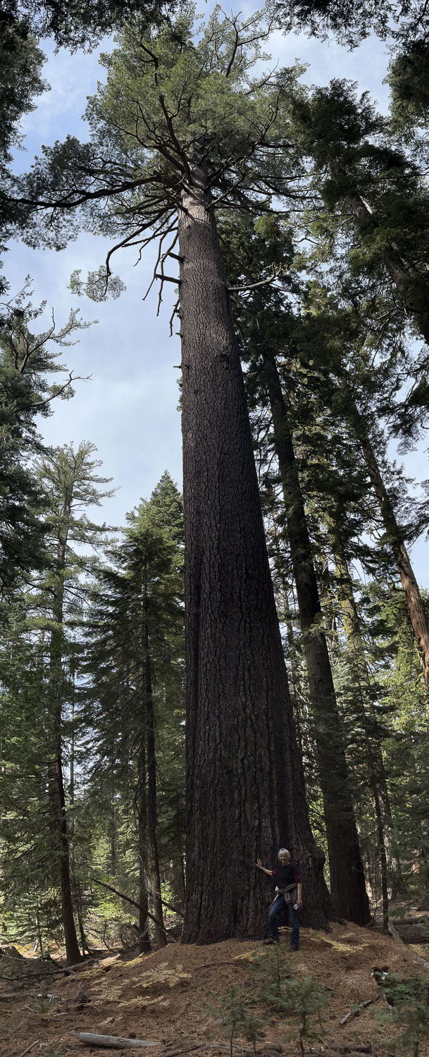
Check out the size of this tree.
This was my view.
There were some big mushrooms too. You can’t tell from the photo but that one is bigger than my hand.
We drove back towards Matt’s house, but first turned up the road to Big Hill, the heliport where Matt used to work. This is the view of where we had been earlier with Desolation in the background.
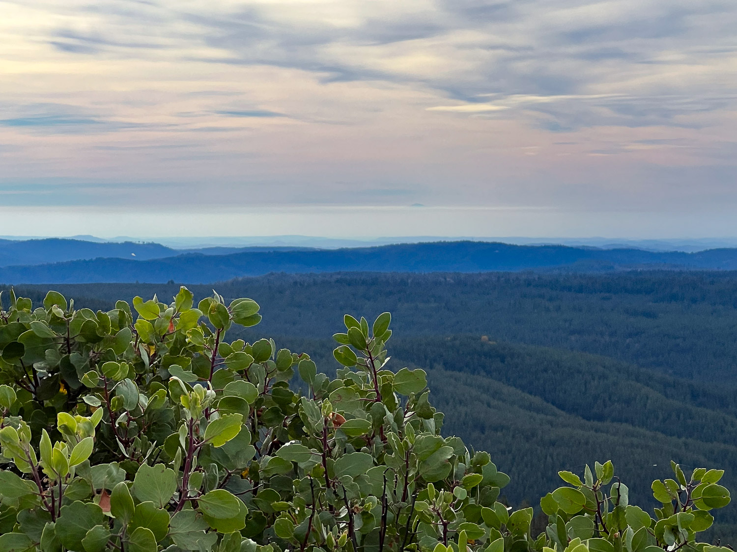
View to the west. I wish I could make an arrow on this photo. I’d point it to the mountain top that is Mt. Diablo, the mountain that I see due south when I walk Across the Road at my house. There is a strip of white above the mountains, below the blue-turning-pink part. Do you see a small dark bump just above that white strip, just to the right of center? That is the tip of Mt. Diablo. I think it’s interesting to see it from a totally different vantage point.
If you read the first post in this series you know that I started Day 1 with our first full day here. There was a travel day before that one, as is Day 6. So this would really be our seventh day away from home…just maintaining some level of accuracy.
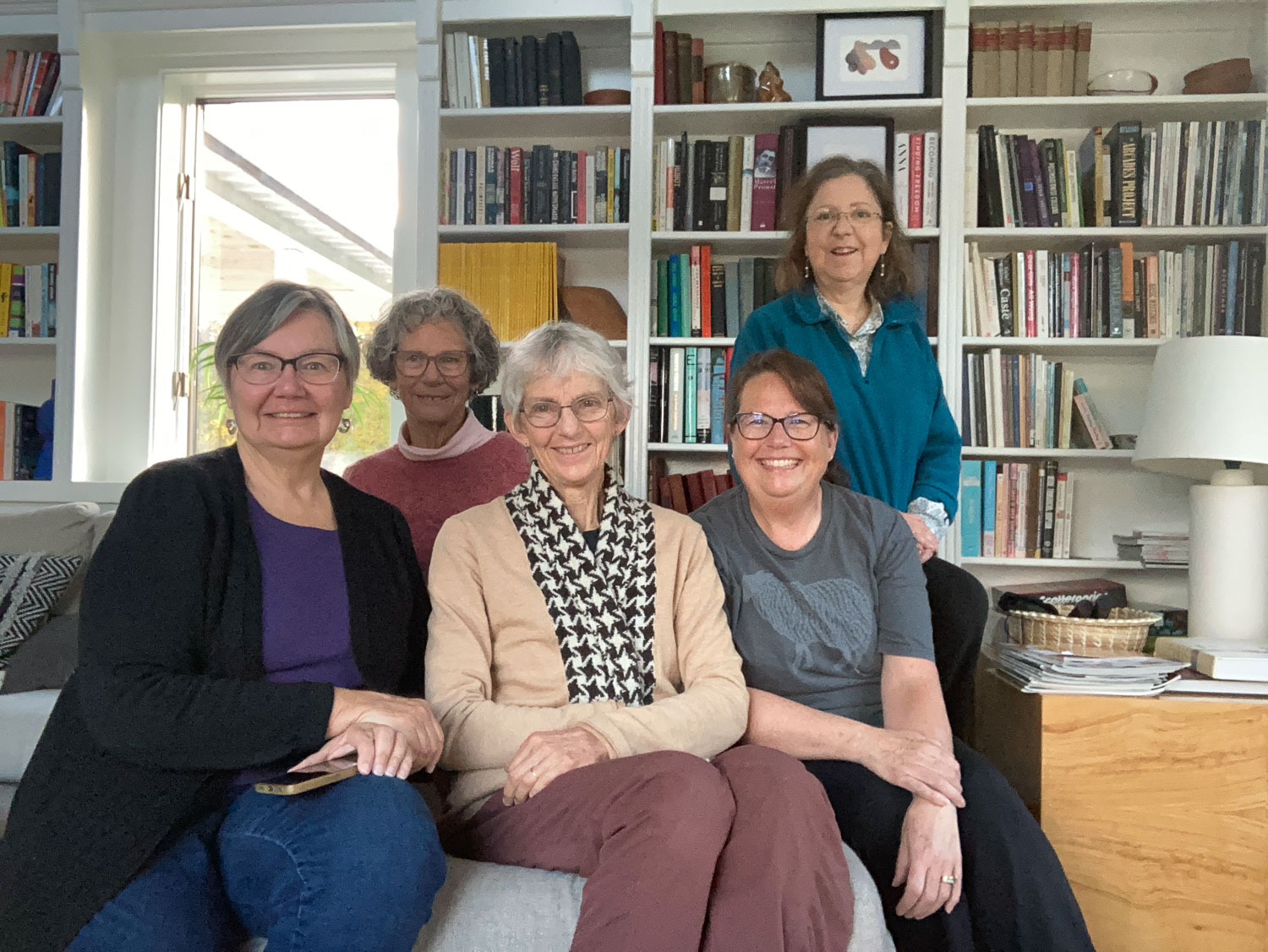
We took a group photo before we all left. The California contingent are the four of us on the left. Adrianne, on the right, stayed with us. We first met her in Maryland several years ago and have stayed in touch. She drove here from Ohio. Some of the best time on this trip was spent hanging out together in the living room and at the kitchen table.
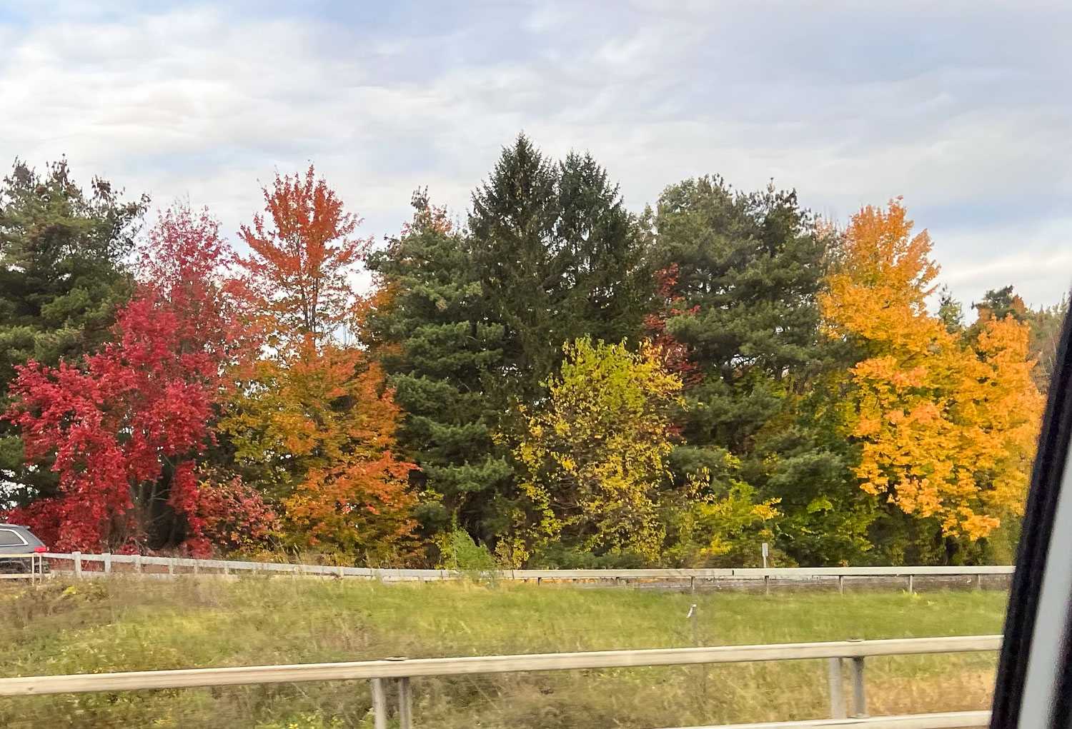
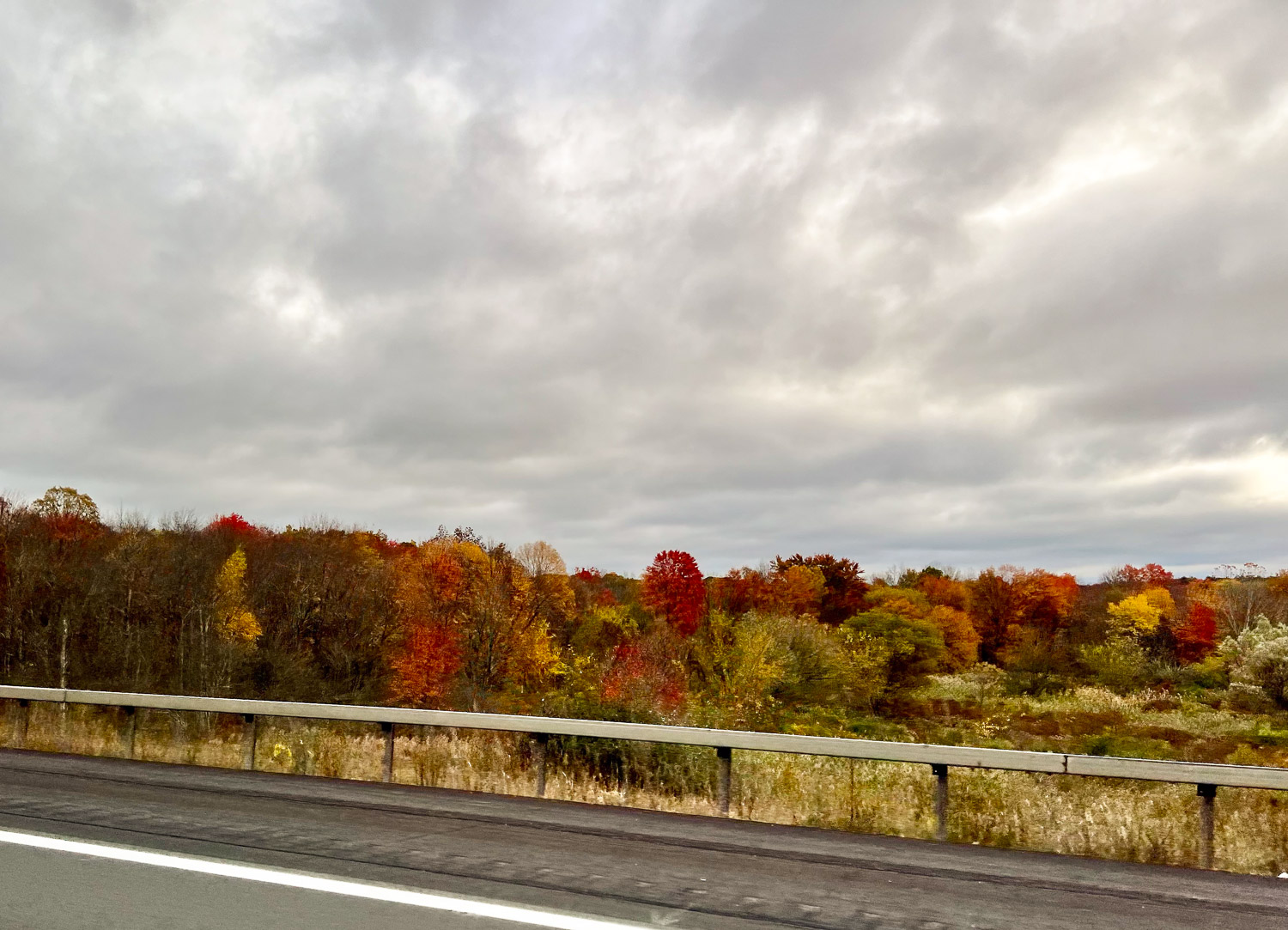
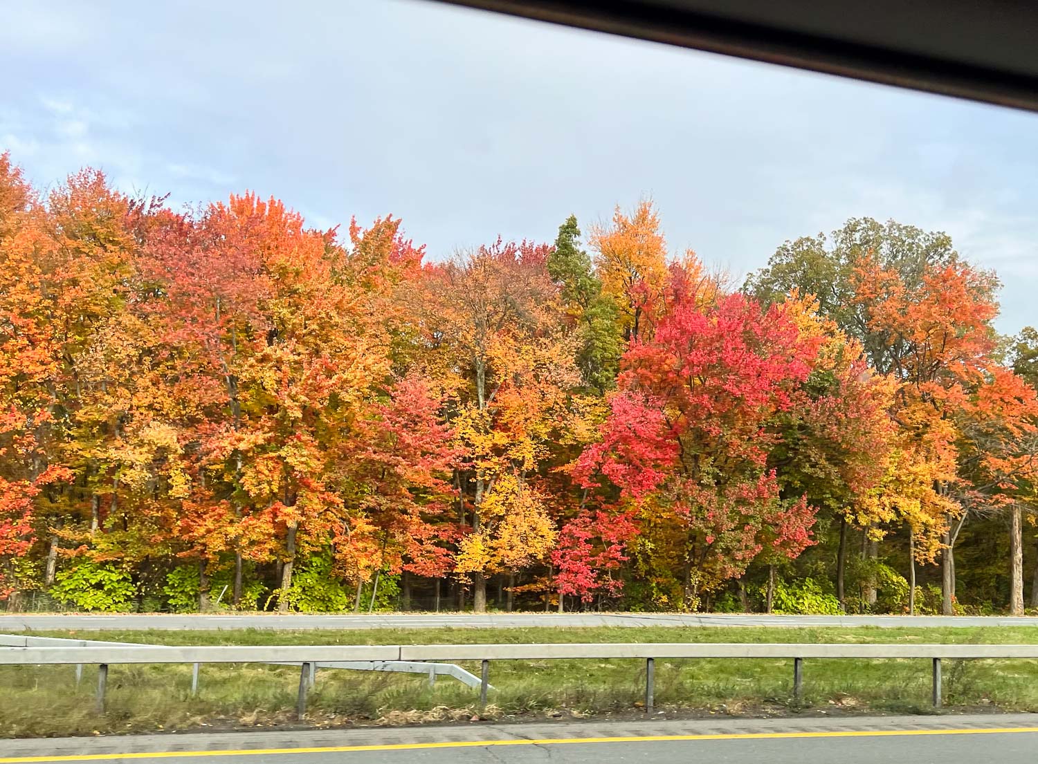
Fall color on the way to the airport.
Our travel days were easy and without incident. they were just long.
Somewhere over the mid-west.
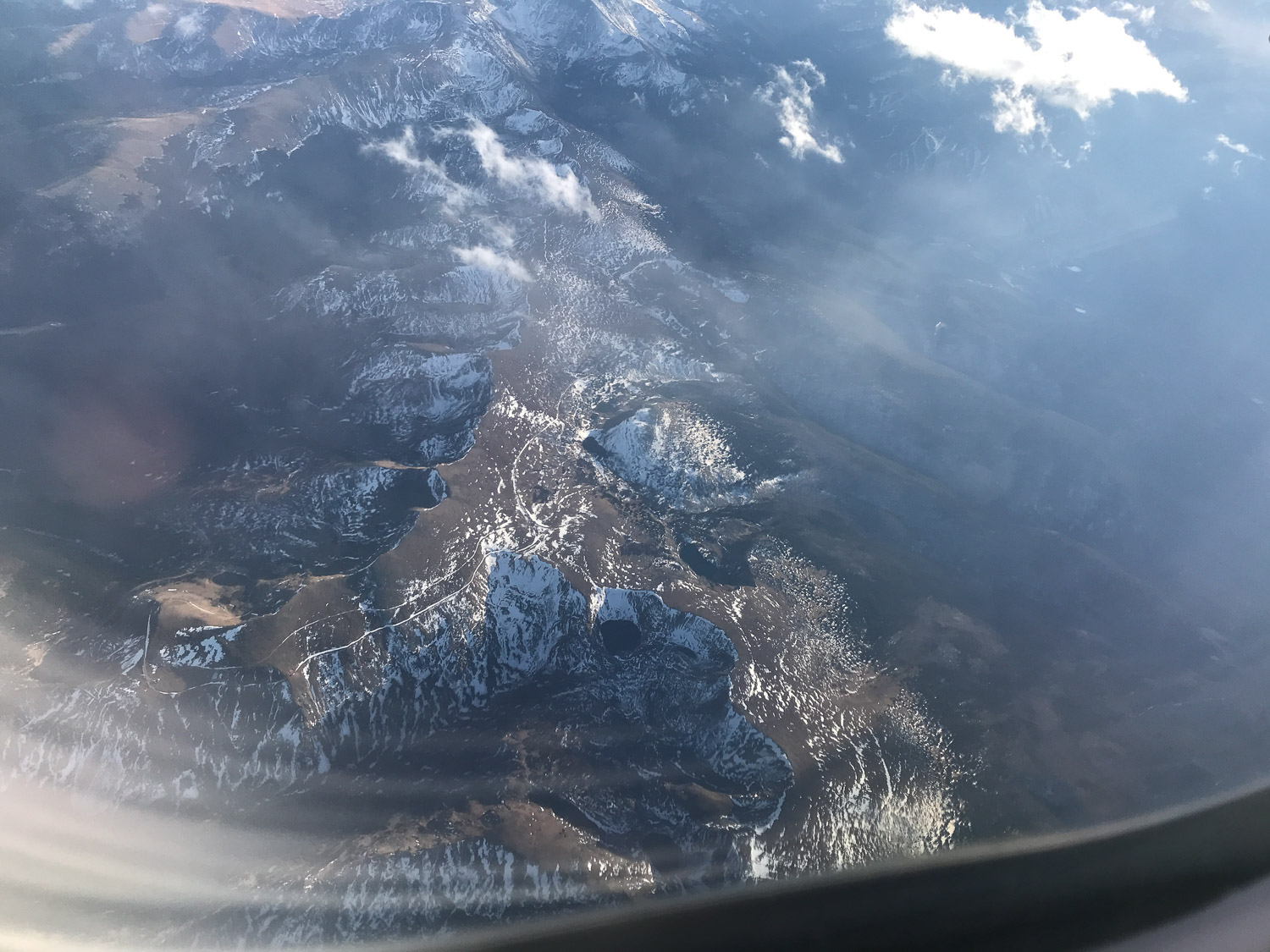
The Rockies.
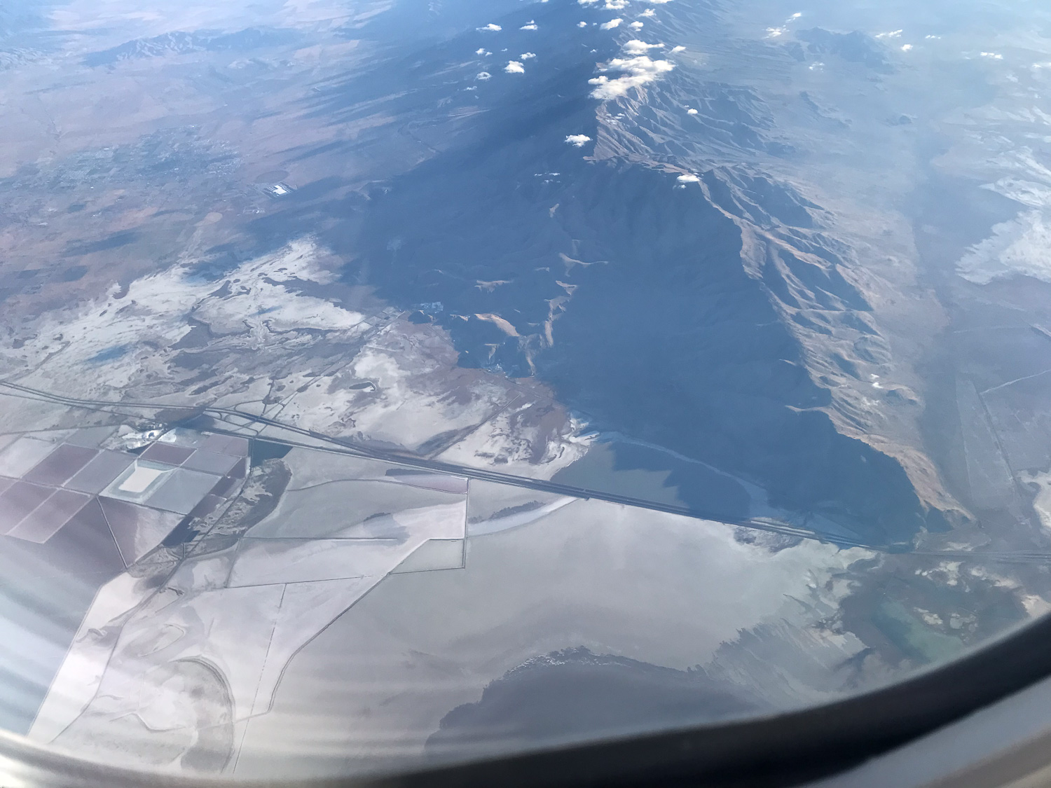
Over Salt Lake, but it’s mostly under the plane.
More of the salt flats. Some of you fly all the time and you are used to seeing this. I don’t see this often and I like getting this perspective
Lake Tahoe and the Sierras. That means we’re almost home.
When we see the fields of the Central Valley it means we are home. Aren’t those beautiful patterns?
Those hills just under the sunset are “my hills”. Our farm is in the valley just east of the lower hills.
How much time and energy do you spend making decision? Sometimes it seems overwhelming and it’s often about something trivial.
I’m helping with a new website. I’m not really helping, but being a guinea pig about how it all works for a non-tech person to enter things and helping to find glitches and things that are confusing. Is that a beta-tester? Or do you have to know more to have that title?
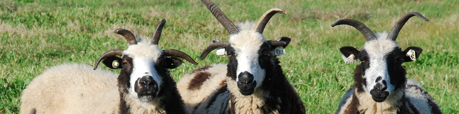
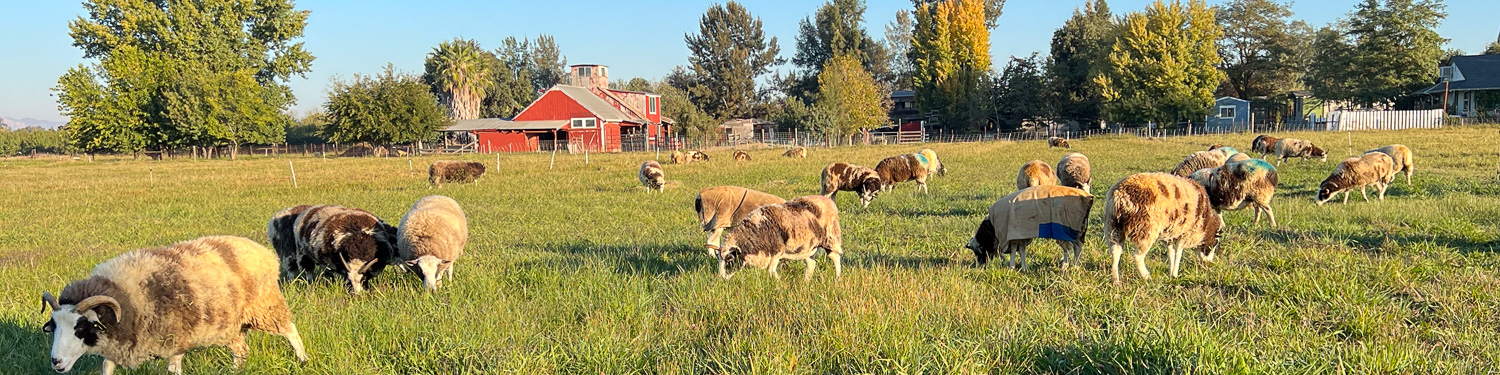
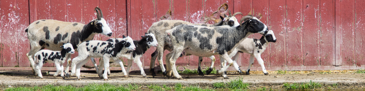
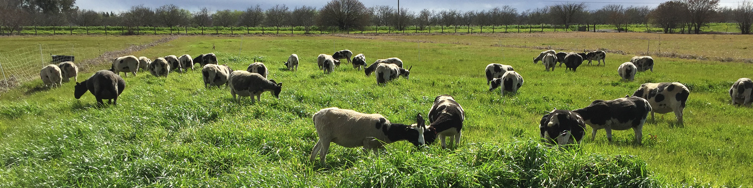
There is a place that asks for a banner across the part that will have Meridian Jacobs info. How to decide what photo? Sheep? Weaving? Yarn? The point of the website is to sell things. How do I choose one? The photo needs to fit the banner space. The software will supposedly take the appropriate size piece out of whatever photo you send, but I thought I should start with something the right size. I started with these below. Some were just experimental to see how they would fit the space.
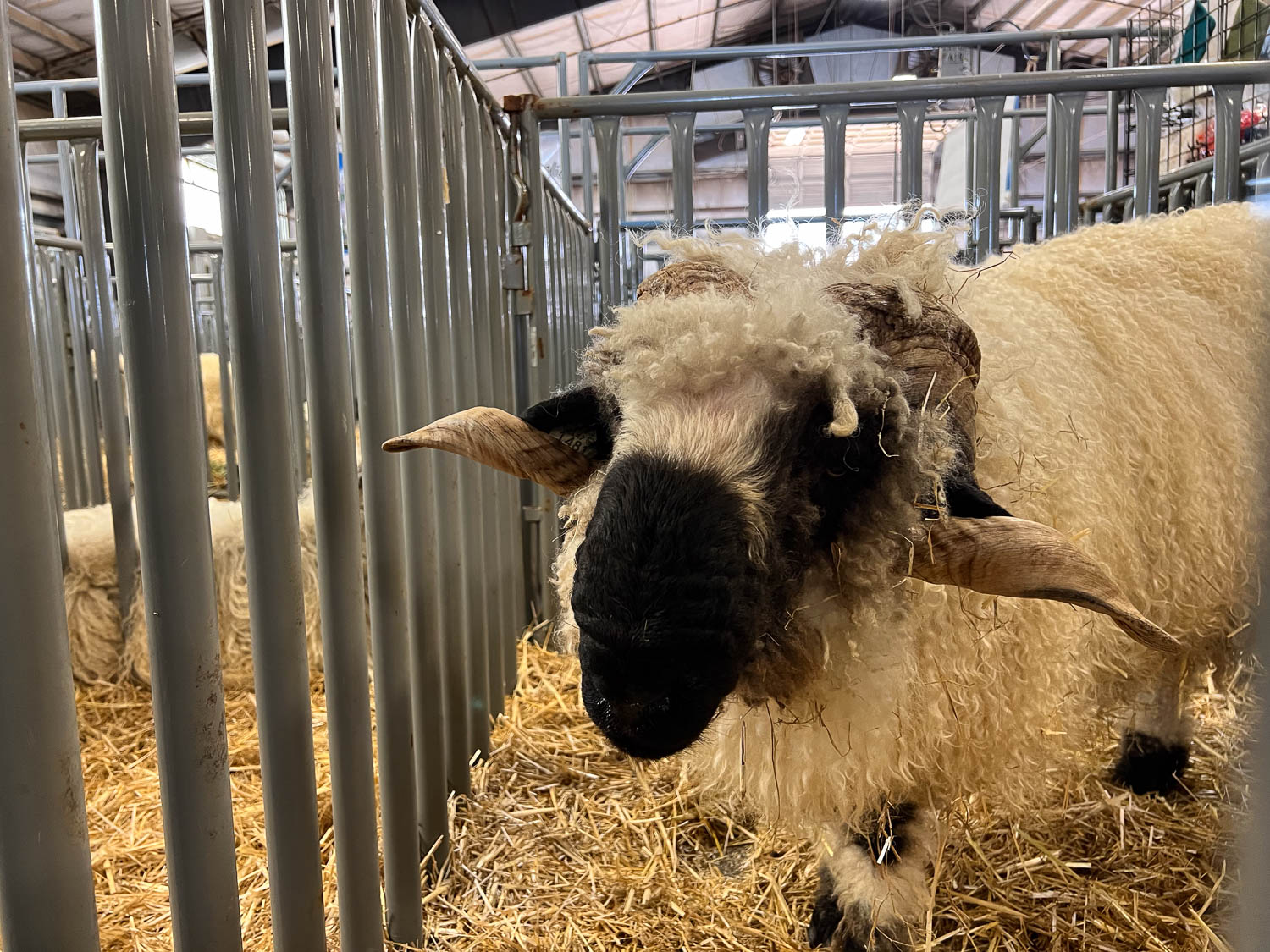
A sheep photo? This is an older photo but I suppose that doesn’t matter as long as the quality of the photo is good enough.
I wanted to try something with more sheep and a background. This is not a good background.
This photo looks a bit washed out–maybe I can adjust that but at this point I was looking for any photo that fit the sheep into the landscape with a bit of horizon.
What about yarn or weaving? I’d sure like to sell blankets. Version 1.
Version 2.
Version 3.
I have a series of these photos that I have always liked.
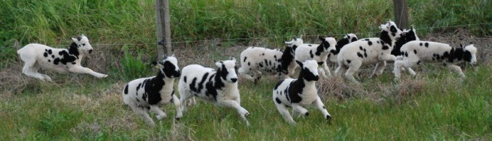
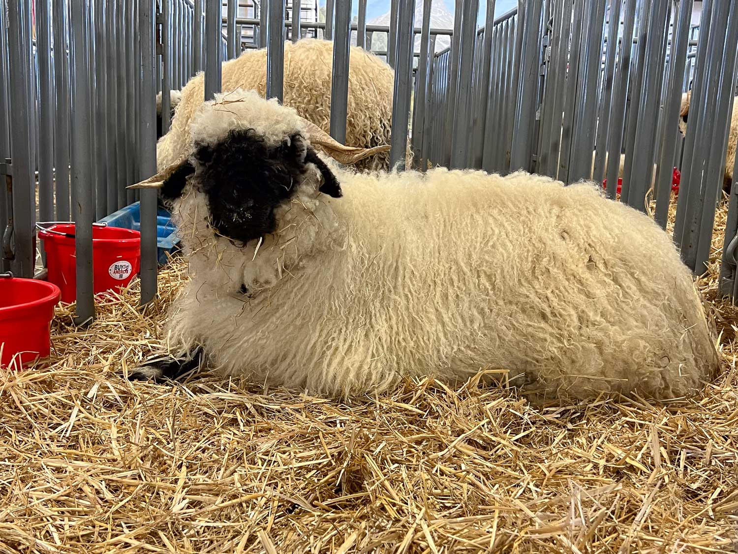
I have used this photo (full size) a lot because it shows the difference between black and white sheep and lilac sheep. Townes, the lilac on the right, got the tips of the top horns caught in a fence two days ago and I found him dead.
Back to landscape photos. Here is one with a horizon and a lot of sheep and lush grass. The sheep are pregnant and recently shorn.
I walked across the road this morning and had just changed the fences so the sheep have this field near the road. That’s the view I was after. It is a narrow band but it shows sheep and the horizon. I like that this one shows our position in the Sacramento Valley. That notch you see in the hills is where the road goes to Lake Berryessa. Its a landmark for me.
This is a little different cropping of this morning’s photo.
A closer up view makes the sheep and the barn more prominent and removes the white fence on the right but cuts off the trees and my notch on the hills.
Back to yarn. This is what I did the last few days. Indigo on the left and Cosmos and Dahlia on the right.
But maybe I need black and white.
No decision made yet. Any suggestions are welcome…
We decided to take Kirby to the beach and check out some of the Golden Gate National Recreation Area. There is so much to see and it is so close to home, but I have never taken time to explore it.
We had some good advice from a friend who works in San Francisco and started at Ocean Beach.
After the 105+ days we’ve had at home, the overcast windy beach was a welcome change.
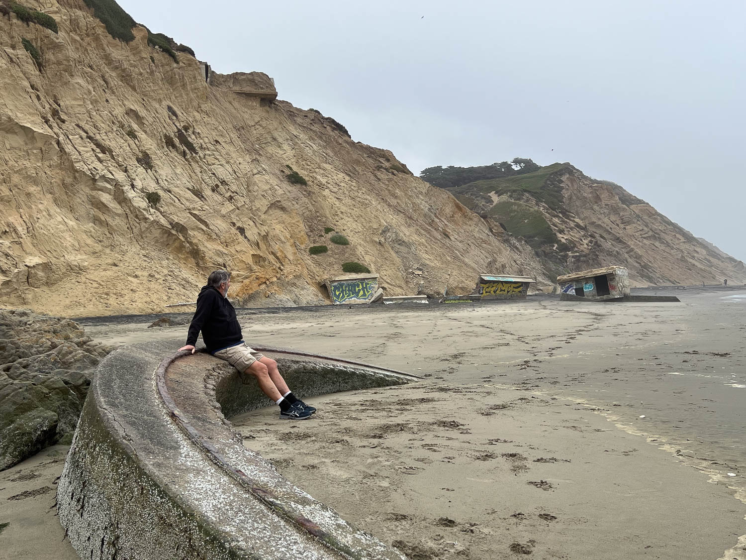
We chose the beach at Fort Funston for our second stopping point. Dan and Kirby are sitting on an old gun mount.
I was surprised at the old military structures that have fallen from eroded cliffs and are left in place. Usually I expect to see signs–either informational and educational signs (because this is part of the National Recreation Area) or warnings. But there is none of that–just remnants of what used to be there.
The hike up from the beach.
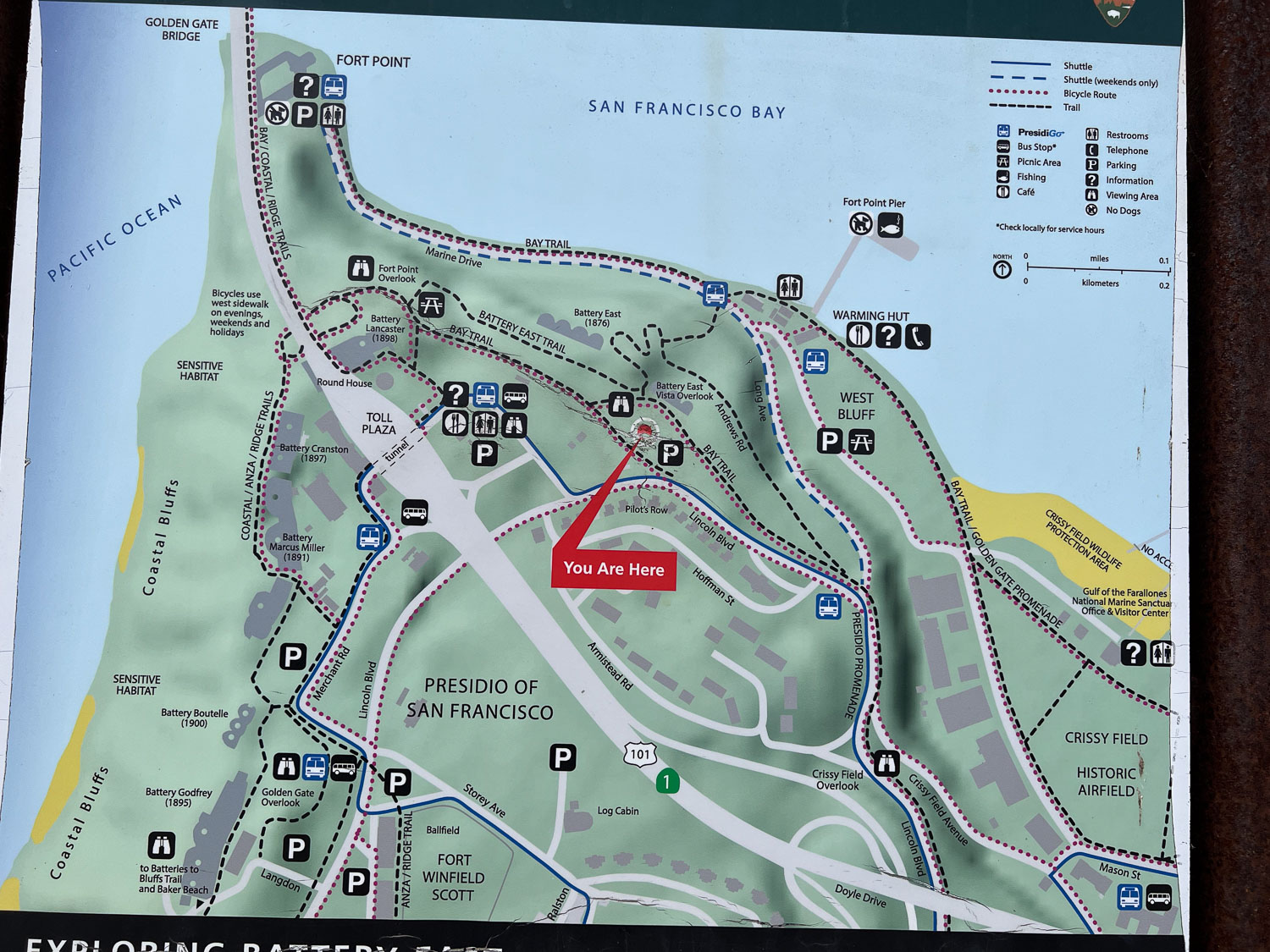
After a couple of hours at the beaches we drove to a parking lot between the Golden Gate entrance and Fort Point. We followed the trail that took us down to the Bay and to Fort Point.
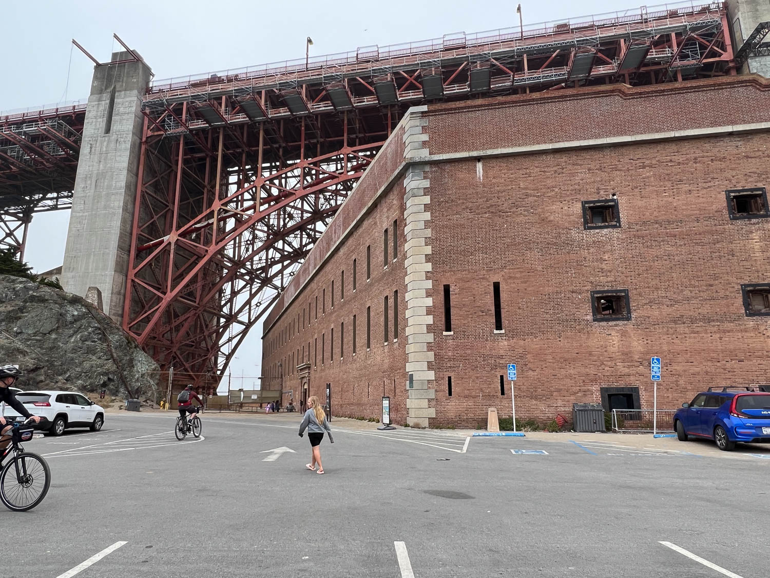
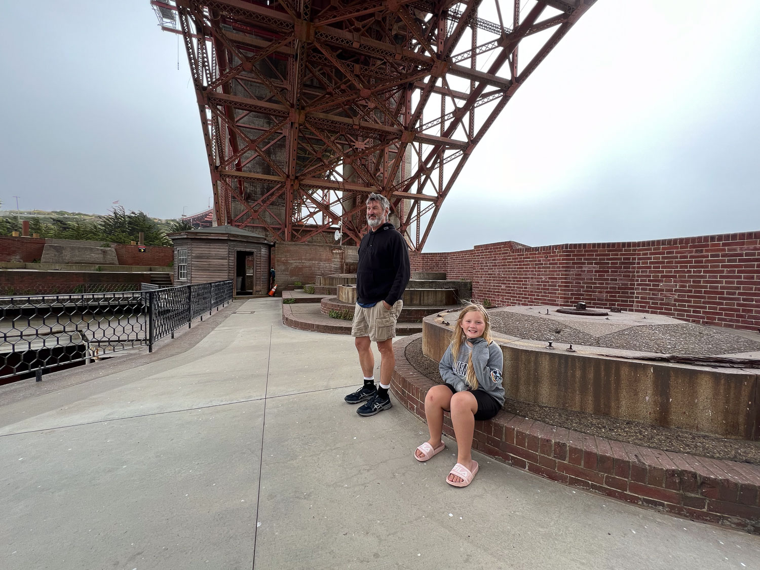
The Fort itself is just under the bridge, but of course there was no bridge there when it was built in the 1850s.
That’s a huge cargo ship sailing to the Pacific.
I am fascinated by the history here and amazed that I’ve lived most of my life nearby (and was born in SF) and knew nothing about any of this.
According to the info on the NPS site a special arch was designed so that the bridge could be built without destroying Fort Point.
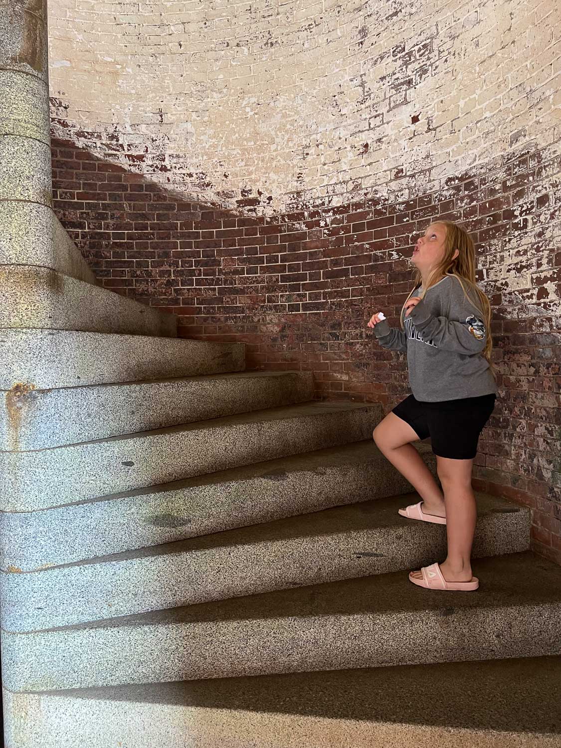
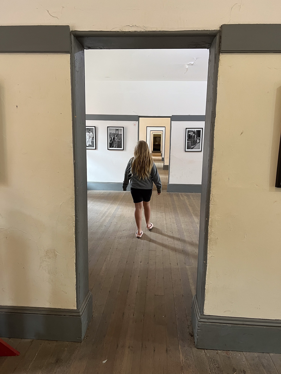
We climbed the spiral staircase to access the second and third floors.
Some of the rooms are open with historical displays.
The spiral staircase goes all the way to the top of the fort. It interesting to be right under the Golden Gate Bridge. It was also extremely windy and cold. (I thought about how we looked as grandparents supervising a child wearing shorts and flipflops.)
There was originally a lighthouse in use, but after the bridge was built it was no longer necessary.
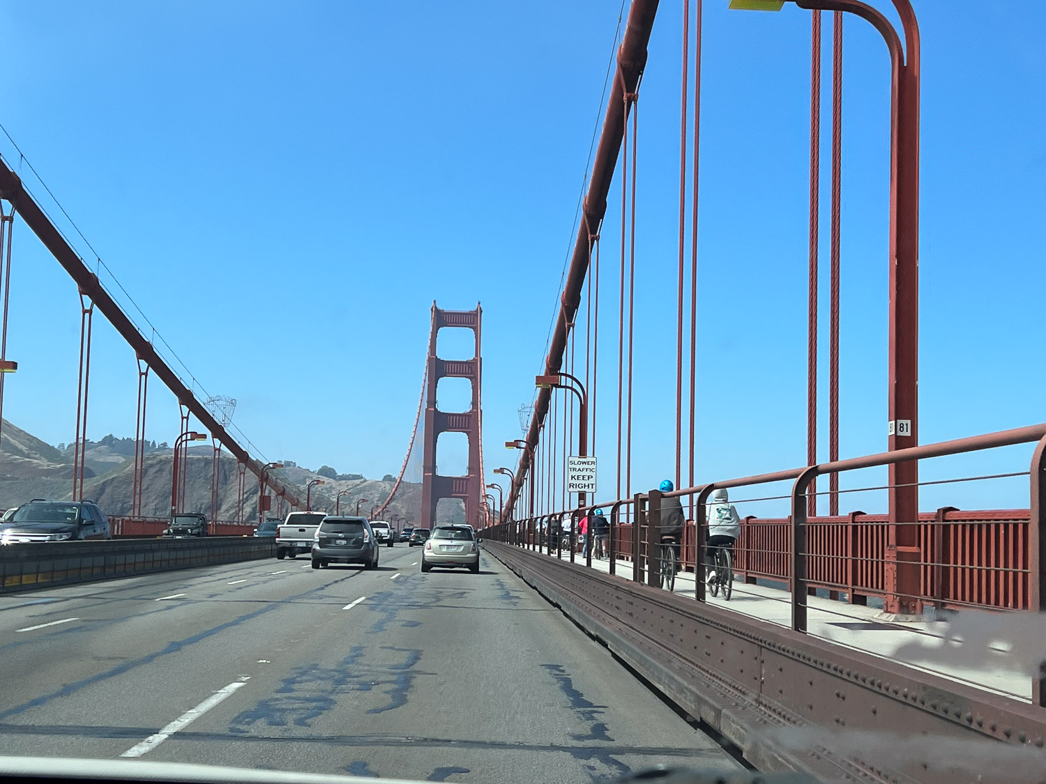
View of the bridge on the way home. This was the first time since we’d been in San Francisco that the towers weren’t shrouded in fog.
Three of us traveled together to Black Sheep Gathering in Albany, Oregon. My friend, Vicki, used her truck to pull my trailer with my 10 sheep. She brought fleeces to show and sell. Another friend, Doris rode with us. We left about 7 a.m. on Thursday.
I don’t remember the last time that I saw Shasta Lake full.
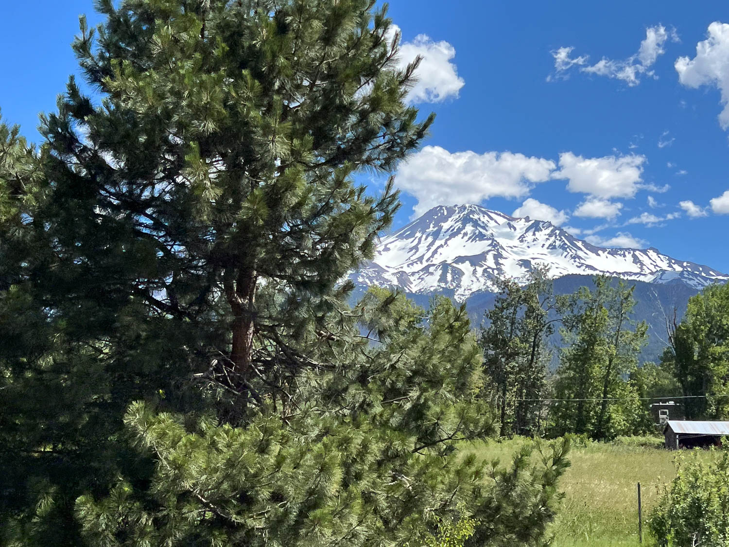
Glimpse of Mt. Shasta.
Another view of Mt. Shasta.
Two of the sheep I brought were already sold so we did a parking lot transfer of those and then settled the rest of the sheep in the barn by late in the day.
Vicki slept in her camper, but Doris and I set up tents for the weekend. This became a gathering spot for some of our California and Oregon friends.
I took photos of a few of the less common breeds. These are Horned Dorset, a sheep with spots that can make them look like Jacob sheep to people who don’t see the more subtle differences. The horns have a quite different look than my sheep with two horns.
I started writing this blog in 2008, but when I started my SquareSpace website (www.meridianjacobs.com) in 2019 I switched to writing my blog there. It bothers me that if (when) I stop using the website for business someday and, therefore stop paying for it, I’ll lose all my blog posts. My blog is like my scrapbook and I like to look back at things every so often. Besides, I liked the way that I could find previous posts when I wanted to here. It’s never worked as well on the other site. I hope I can set this up the way I remember from the old days. Hmmm. 2019 was the “old days”, the “before” days. Before the major injury I had and before the pandemic. Things seem different now. Rusty’s blog is still here too although he didn’t write anything after mid- 2019.
Another thought is that the website blog should be business and this one is more the rest of life. However, in my life business and everything else are completely intertwined. Is it realistic to think I can keep up with two blogs? That’s doubtful. So this is a trial to see if I like this and how best to do it.
About two weeks ago we drove to Ukiah to deliver wool to the mill. Knowing this was the best time for wildflowers we planned to find a place to hike on the way back.
Here we are overlapping business and pleasure already. The trip was to deliver wool and I decided to bring my Ashford e-spinner to make use of time while on the road. It works great this way, although it would have been handy to have it on a box instead of the floor.
We stopped at a place where Dan remembered seeing a trailhead. Don’t confuse this Lynch Canyon with the one in Solano County. We were in Colusa County. There is nothing here except a place to park and this map, which has seen better days.
The trail is a dirt road and you can see that its going to be very hot once summer is here.
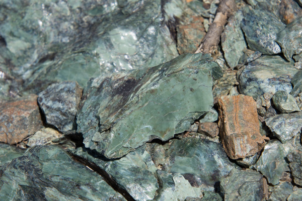
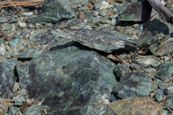
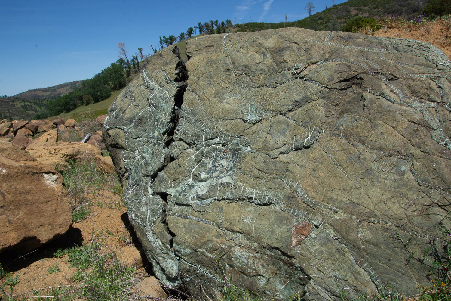
The first part of the hike is across the side of the hills where it looks as though maybe rock had been removed when making the highway. It looks as though the terrain was disturbed years ago. Along side the dirt road we were walking on were these boulders of serpentine.
I am fascinated by this rock and by the photo. Doesn’t it look as though that brown part in the center is something dropping in front of the boulder? Or is that just me seeing it that way? That is part of the rock.
I am disappointed that I don’t know all the plant ID the way I think I used to. However I don’t remember ever seeing this grass. It is quite different than the usual species we see.
I can identify an oak tree, however, even if I’m never sure of which oak it is.
About a mile or so away from the main road we found this building. There are old tables and chairs and evidence of electric lights. There is also a menu on the wall for “Roadkill Cafe” and it includes things like Chunk of Skunk and Awesome Possum. This is obviously a more modern addition and you can find downloads of various versions on-line. I looked because I was trying to find out some history of this building. The best I could find is the description of a hunters’ cabin at this location. It would have taken quite a bit of effort to get this building here and also power it (a generator for lights?). Or maybe it was brought here without the plan of ever having power to it again. So it remains a mystery to me.
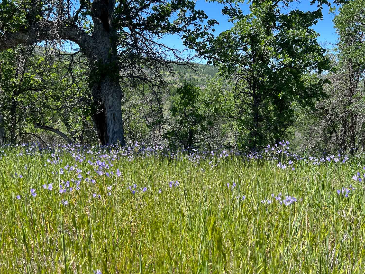
I was intrigued by these flowers, thinking that I recognized them and that they don’t get any more showy than this. Later I found one that had finished it’s blooming but I don’t have a photo. When it pops open it looks like a white papery dandelion. I have photos of that in one of the next blog posts I’ll write here from when I went to Jepson Prairie. It is called Blow Wives.
After a stream crossing past the cabin we found several trails going in different directions. We chose this one.
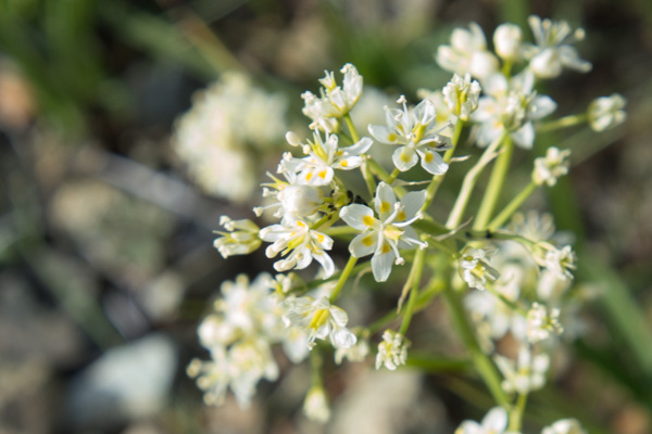
This flower is Ithuriel’s Spear, a native perennial.
In quantity, they were quite showy.
We didn’t reach the end of the trail. We kept going a little farther to see over the ridge, but there was never a ridge top to look over, just more hills and trees. Without a map we decided that we’d probably gone far enough.
As we turned around and came back down the trail we did have a great view of where we’d been. You can see the dirt road through the grassy area at the base of the ridge on the left.
Buttercups I think.
A view of the Road Kill Cafe from the other direction.
Just beyond that point it looks as though the creek used to be dammed. This is quite a sizeable dam. It’s obviously not being used now but it makes me wonder again about the history here.
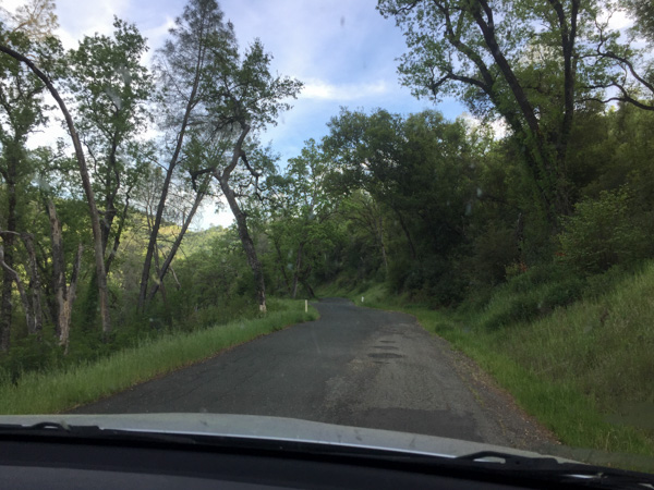
View from the car on the way home.
So I hope that I can format this blog the way I remember it from before. Then I’ll have to decide where I want to live…at Squarespace or here at WordPress… or both?
Our deadlines of the summer were over. We finished (almost) our kitchen renovation. The house was clean (at least the part we had been working on). I had delivered sheep to the butcher and had people lined up for chores. I set up the pasture fences to make managing the ewes as easy as possible. I even made a barricade so that the ewes wouldn’t be near the rams because I didn’t want to risk the rams bashing the fence and each other.
We packed as if we were going on safari. We hadn’t been out of shorts and t-shirts for months and now we were going to the North where it is said to be Cold and Wet. Better grab another pair of pants, another sweatshirt, rain-pants. Oh, you’re bringing two pillows? Then I’ll bring two pillows…and a yoga mat and my sheepskin for under my sleeping bag.
We got away on Tuesday, September 11 at 10 a.m., only about an hour behind schedule. Here we go!All of these photos are “drive-by”, taken with my camera or my phone while in a moving car. They are hazy and the sky is ugly. But that’s how it looked as we drove up the valley. We have been living for most of the summer with smoke-filled skies. Now we were smelling smoke too. This is Shasta Lake and it is evident how low the water level is. A reservoir can be an ugly place when the water is low (in my opinion). We began to see signs of the Carr Fire which had caused the closure of I-5 in both directions for 5 or 6 days just the week before we left.One of my son’s manages a USFS helicopter and his crew was on this fire, but that wasn’t the his helicopter. The fire had burned right up to the road and had actually burned vehicles that couldn’t get away in time.
Trees that are near the highway are being removed for miles.And it’s not over yet!There were active smokes along several miles. My two sons and a daughter-in-law all fight wildland forest fires. This is a scary year.As we drove further north the skies cleared and the forest again hugged the sides of the freeway.This isn’t a great photo, but I am usually driving when I see this dragon.There is a metal cow and calf a few miles back that missed. But I got at least one photo of the dragon.Heading to the Shasta Valley in northern California.Somewhere in Oregon. It seems like a long time since we’ve had rain here.
It was dusk as we got to our destination for the night in northern Oregon. More about that in the next post.
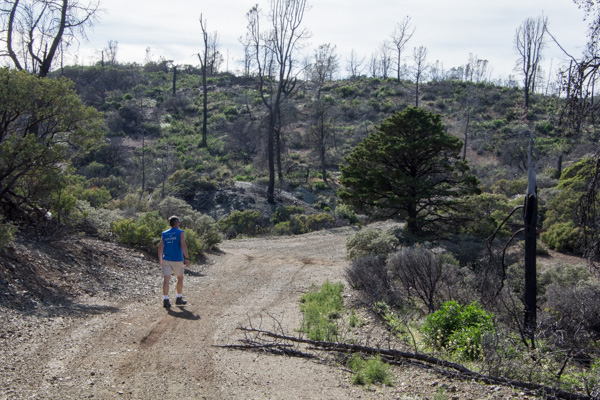
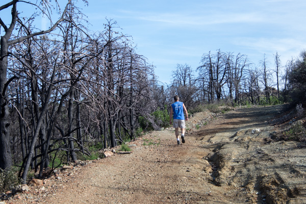
Stebbins Cold Canyon Reserve is managed by the University of California. The website says: “The UC Davis Stebbins Cold Canyon Reserve is set in a steep inland canyon of the California Coast Range. Extreme topography gives the reserve a mix of habitats, high species diversity, and beautiful views. An intense wildfire burned the entire reserve in summer of 2015; University of California researchers are studying the recovery in the area.”
The canyon is only about 25 minutes away and we try to go hiking there a couple times a year. Here are photos of a hike there during the spring when everything is green. This time of year it is dry and hot. In fact whoever is in charge is doing their best to warn us away from this hike.Falling trees, high heat, fires, snakes, poison oak, ticks, mountain lions, high water (that would be a different season). Maybe we should just go back home to the couch. After the 2015 fire the area was rebuilt to accommodate needed parking. Now we park below the Reserve instead of on the side of the road and walk under the road through these huge culverts. This is also where storm water will go in the winter. What’s with the graffiti? I am not a fan.Leaving the culvert.We headed out on the Blue Ridge trail, a five mile round trip. This is three years after the fire. That bush on the right is a CA Bay Laurel growing from the base of the burned tree (it can take on the form of a bush or tree).
Our first hazard, poison oak.Maybe the next time I go hiking here I’ll count the steps. The trail starts in the canyon and eventually you have to get to the top of the ridge. There may be a million stairs–at least it seems that way when you are half way up. Taking scenic photos is a good excuse to stop. This is a panorama looking southeast. Our trail continued to the ridgeline. This is the bluest sky that I’ve seen since the fires started in June. We’re up above the smoke and haze here.
View to the east. That little line on the ridge is our trail.
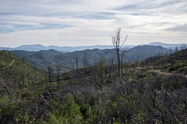
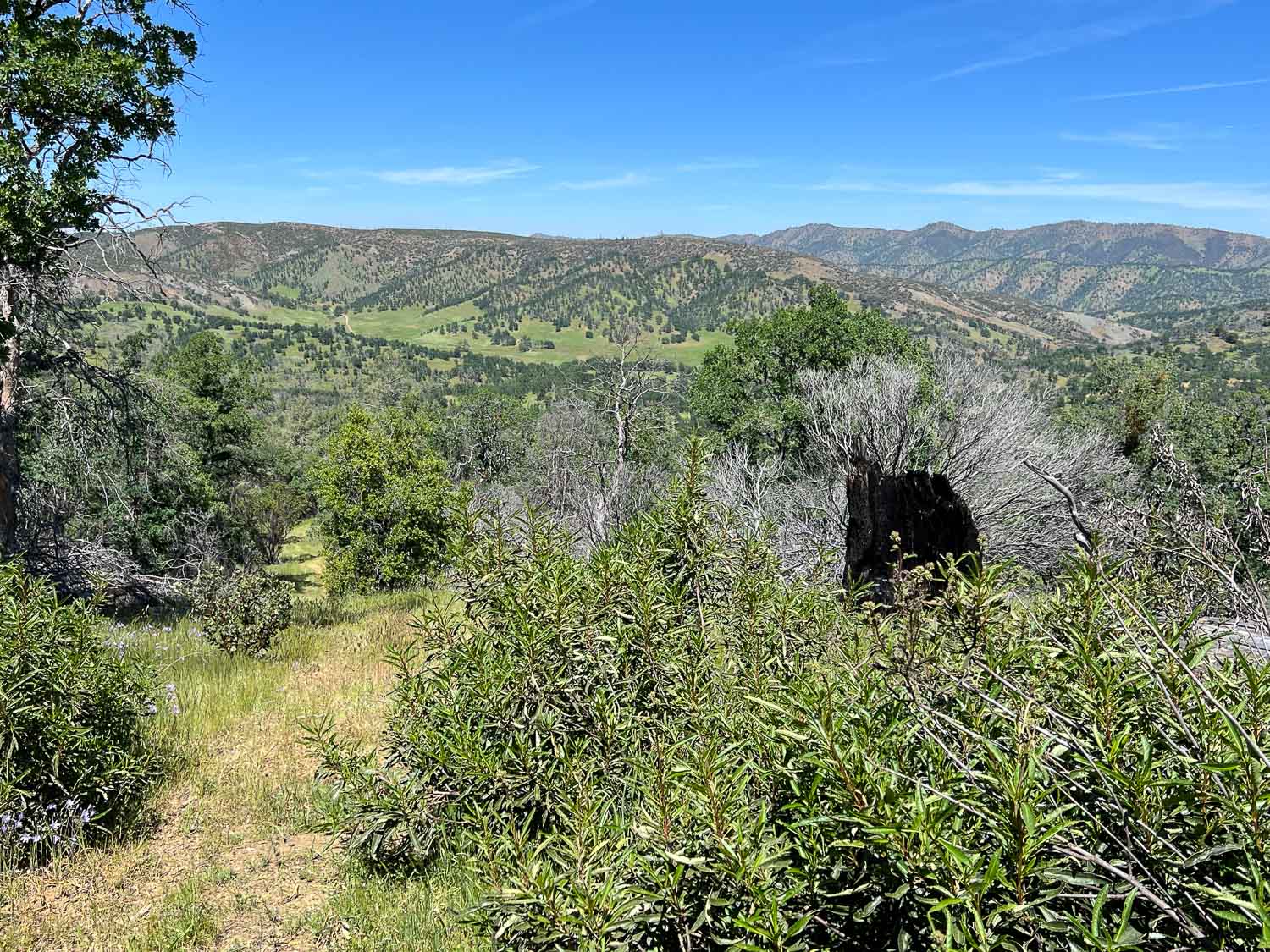
From the top you can look down to Lake Berryessa. Except for the foreground most of the land was burned this summer.
More of the trail. Keep walking.California Cudweed.Toyon berries.Burned oak.Fall colors (more poison oak).
We have traveled days to see some of our spectacular National Parks and Monuments, but there are some nearby that don’t need as much planning to get to.
Now that Dan is retired he has more lots of flexibility and my schedule is the one that we have to work around. Last Tuesday was open. We wanted to see some of the spring wildflowers before they were gone for this year. We drove to one of the nation’s newest National Monuments. Berryessa Snow Mountain NM was designated in 2015 (and was on DT’s list to cut, but fortunately was spared). This is over 330,000 acres of mostly chaparral and spans a long corridor from Lake Berryessa into the Mendocino National Forest in the mountains west of Willows.
We first planned to drive up Bear Valley just east of the monument, where we’d heard the wildflower show is spectacular, and then find a hiking trail at the northern end. Then Dan suggested we drive north on one of the roads through the monument and come back on Bear Valley Road. So we turned north on an unpaved road, driving toward Indian Valley Reservoir.
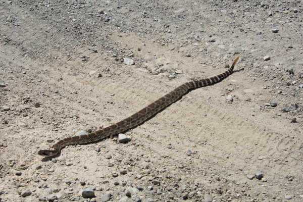
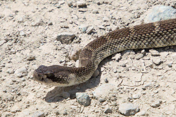
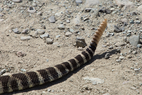
Wildlife!
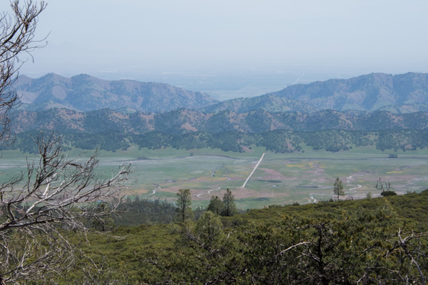
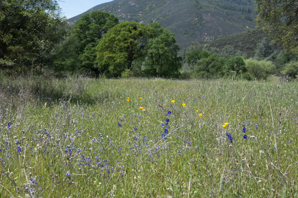
I stayed in the car to photograph this one. After all, he (she?) was conveniently right in the middle of the road. We got several miles in on a ridge line and got out to take in the scenery. The day was sunny, but the haze to the east was typical of summer in the Central Valley. We could just make out the Sutter Buttes in the valley but you can’t see them in this photo. This is looking down on the road that we were going to take that goes through Bear Valley. Most of that color is displays of wildflowers. Looking to the west it was hazy/cloudy. This is Indian Valley Reservoir. The place where we stopped was strikingly green. From the Davis Enterprise: “Serpentine, scientifically called “serpentinite,” is a rock formed by combining water with rock that originally was part of the Earth’s mantle, the layer beneath the Earth’s crust. Soils formed from serpentinite rocks lack certain elements required by most plants.”
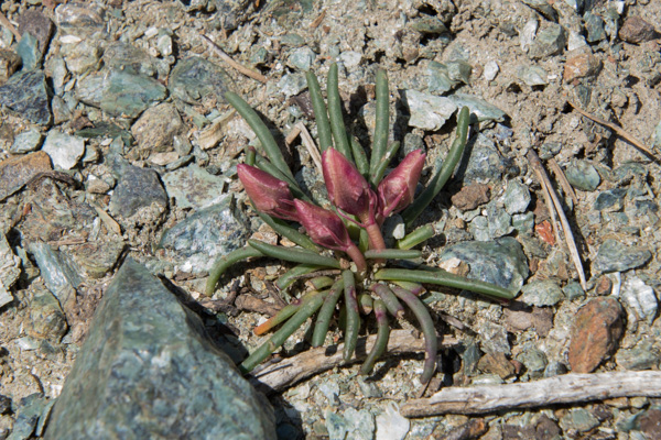
There are a number of plants that grow only in this ecosystem. I haven’t identified this one that hasn’t yet opened its flowers. **Now ID’d by friends as Bitter Root, Lewisa rediviva”.
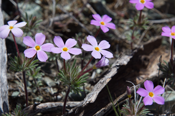
Here is another. **This one just ID’d as True Baby Stars, Leptosiphon bicolor.
We continued to drive, getting out here and there to take in the scenery.
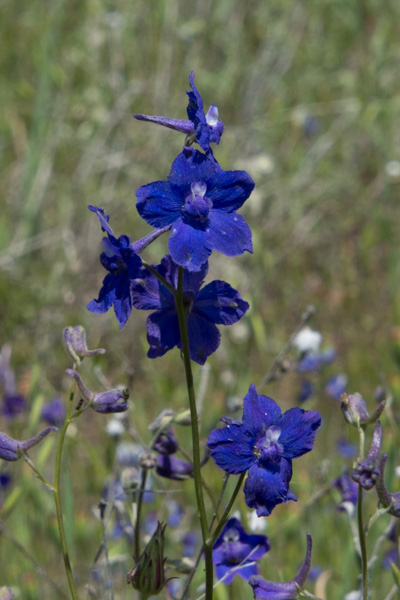
Delphinium.
We did a lot of driving on the rocky somewhat rutted roads. Somehow we missed the road we were looking for to take us to the trails at the north end of the valley. We came to a fork and made the decision to head north. We drove probably a mile on an even more rutted, slower road and then came to a creek crossing with a drop off that I was sure my RAV-4 couldn’t make–at least not without knocking off the bumper. And if we found an even worse spot further up I don’t think we could have come back up that ledge. So we turned around there and took the better maintained gravel road that ended at Clear Lake. We’d left our house around 9:00 and it was around 4:00 by this time. We hadn’t put in that many miles, but lots of hours in the car.
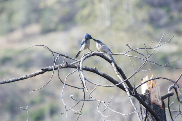
There was one more trail in the direction home. We stopped at the Knoxville Staging Area which we found out is a staging area for ORVs, and walked for about an hour. This area was ravaged by one of the wildfires a couple of years ago. As we walked back towards the car I first heard and then saw this scrub jay.
It seems that he was hungry. It was getting late in the afternoon when we left this area and headed south towards Lake Berryessa. We didn’t get out here and I didn’t take many photos but this was one of the most beautiful places of the day. The road passes the site of the Homestake Mine.
From the Napa Valley Register : “The history books have it all wrong. For Napa County, the Gold Rush wasn’t in 1849. It happened less than 30 years ago in a remote corner of the county ruled by jackrabbits. From 1985 to 2002, Homestake Mining Co. extracted $1 billion worth of gold from the desolate landscape above Lake Berryessa. For a time, the McLaughlin Mine was the biggest producer in California and one of the largest in the world.”
This area is now the Knoxville Wildlife Area owned by the CA Department of Fish and Game. The road follows the creek and the hills are covered with green grass and oak trees. I was in awe of the beauty at this time of year. I still love the hillsides in the summer, but I guess it’s been a long time since I’ve been out in the California hills in the springtime when it is so green.
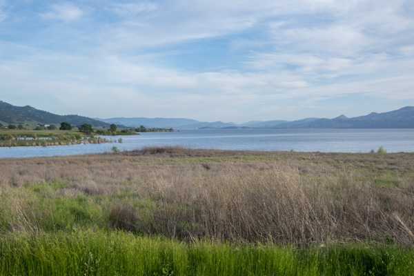
The road took us to the northern end of Lake Berryessa. I’m not a big fan of reservoirs but this time of year with everything so green it looked like a natural lake.
Most of the day was spent driving but what a splendid exposure to a little known region right in my backyard. Next time we’ll hit the Bear Valley Road first and then get to those hiking trails.









































 Here we go!
 All of these photos are “drive-by”, taken with my camera or my phone while in a moving car. They are hazy and the sky is ugly. But that’s how it looked as we drove up the valley. We have been living for most of the summer with smoke-filled skies. Now we were smelling smoke too. This is Shasta Lake and it is evident how low the water level is. A reservoir can be an ugly place when the water is low (in my opinion).
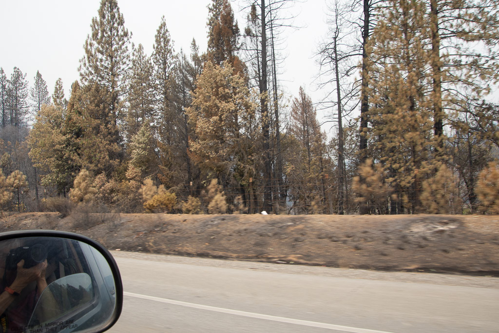 We began to see signs of the Carr Fire which had caused the closure of I-5 in both directions for 5 or 6 days just the week before we left.
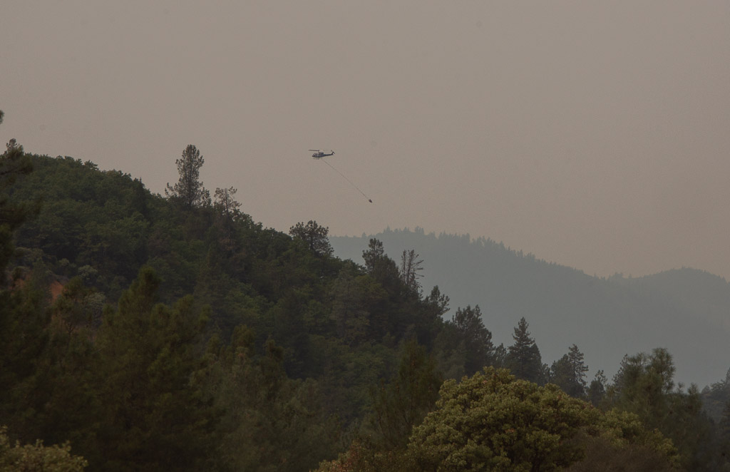 One of my son’s manages a USFS helicopter and his crew was on this fire, but that wasn’t the his helicopter.
 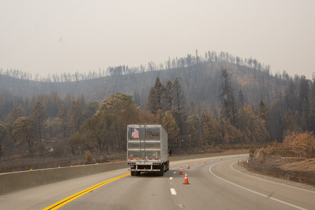 The fire had burned right up to the road and had actually burned vehicles that couldn’t get away in time.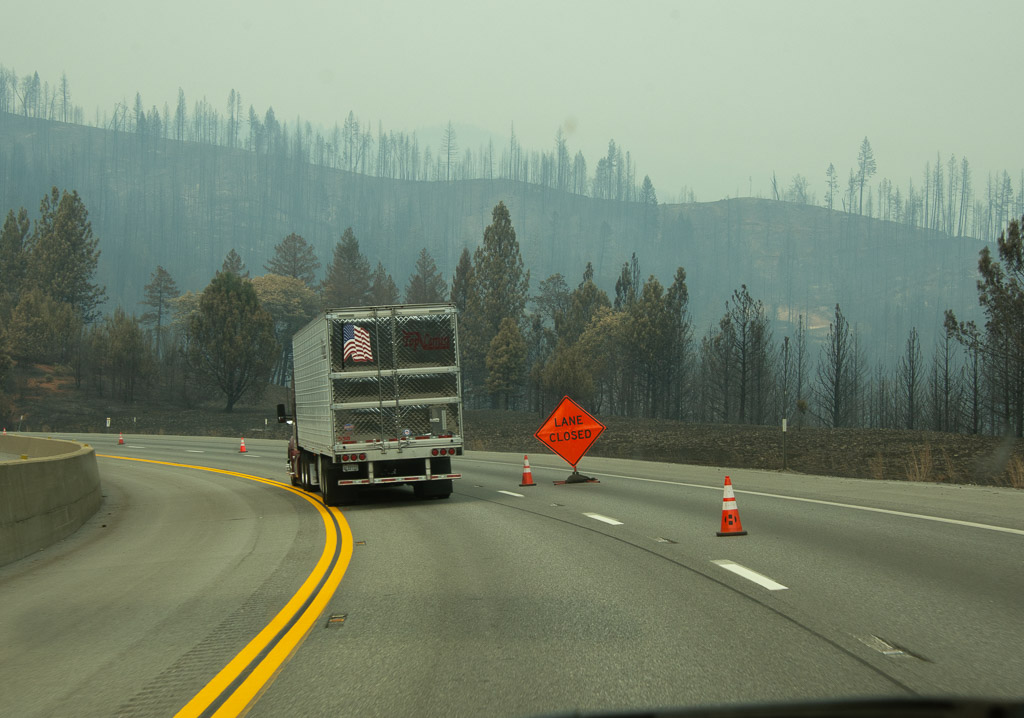

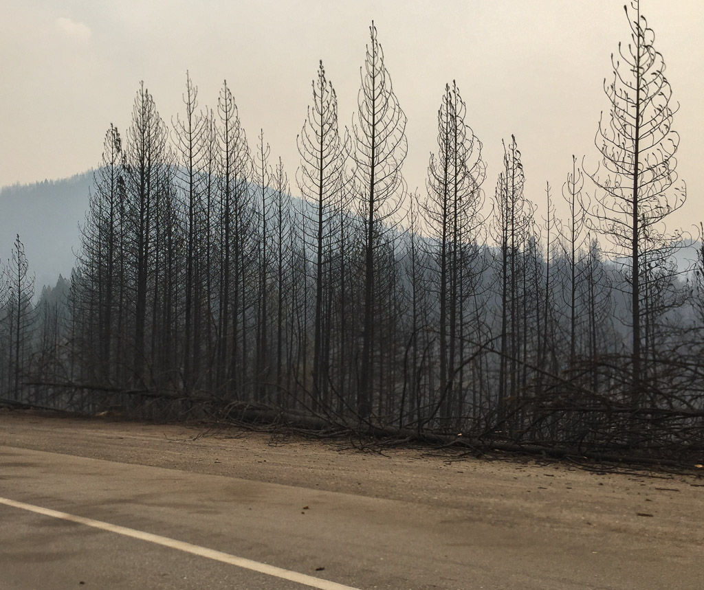
 Trees that are near the highway are being removed for miles.
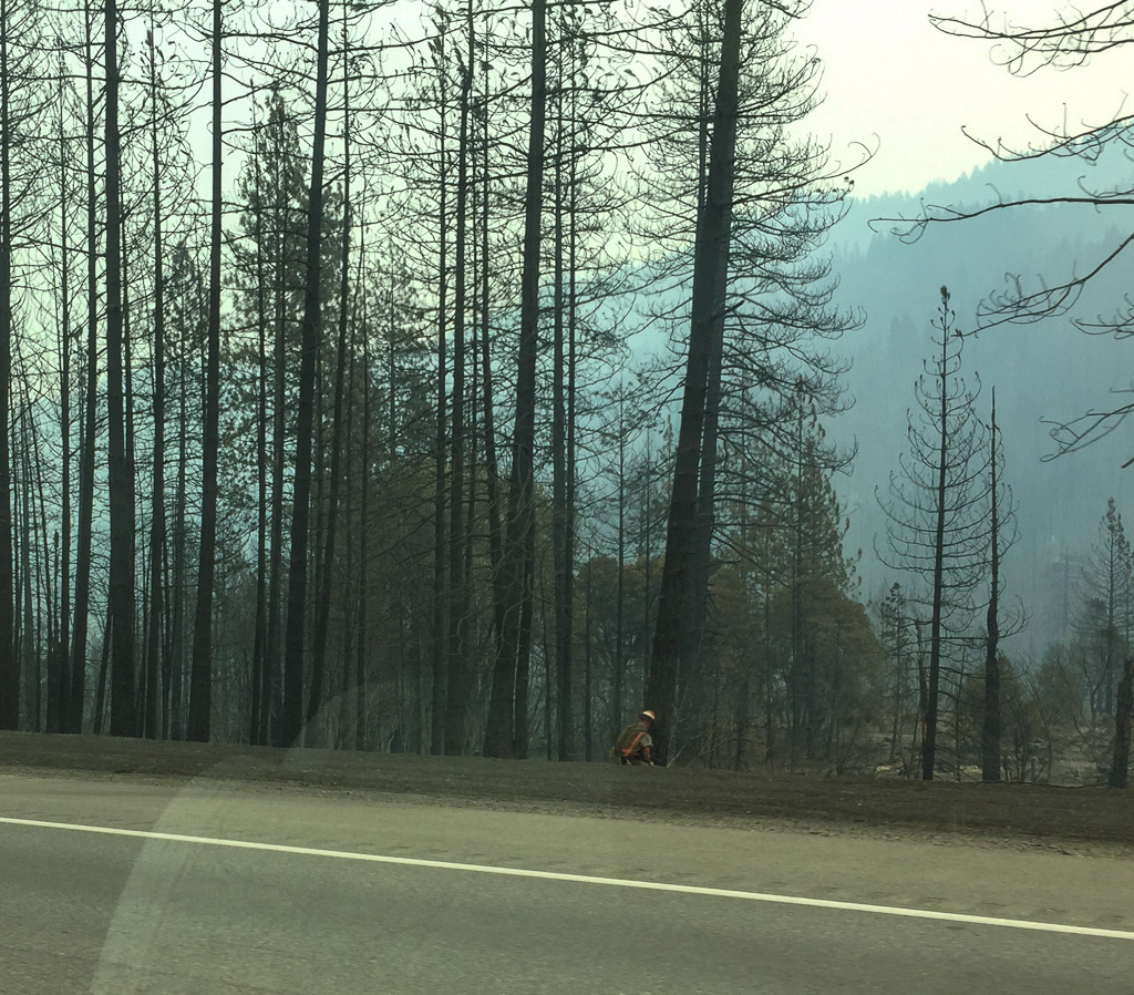 And it’s not over yet!
 There were active smokes along several miles.
 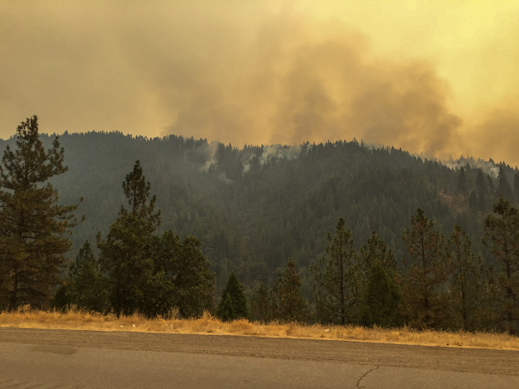 My two sons and a daughter-in-law all fight wildland forest fires. This is a scary year.
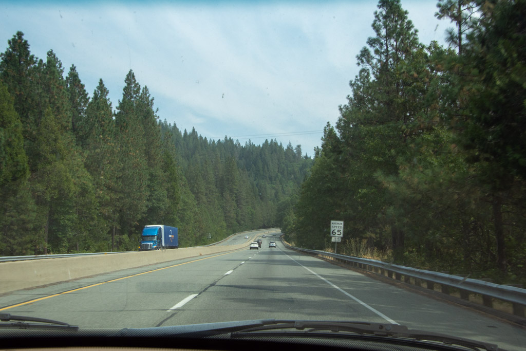 As we drove further north the skies cleared and the forest again hugged the sides of the freeway.
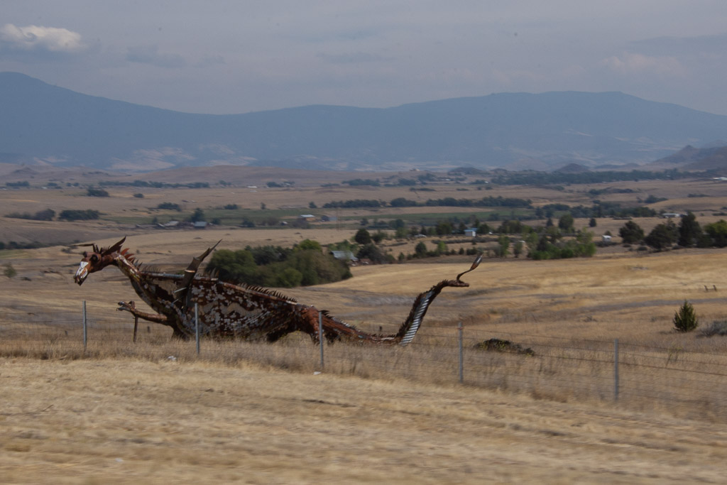 This isn’t a great photo, but I am usually driving when I see this dragon.There is a metal cow and calf a few miles back that missed. But I got at least one photo of the dragon.
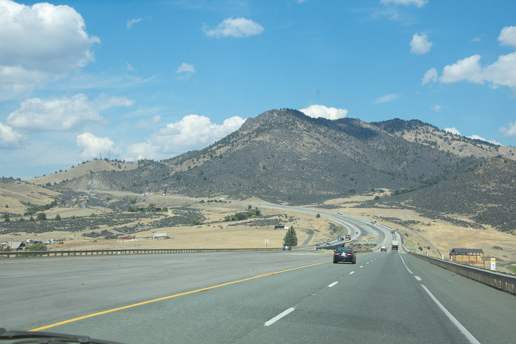 Heading to the Shasta Valley in northern California.
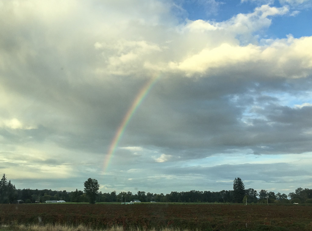 Somewhere in Oregon. It seems like a long time since we’ve had rain here.
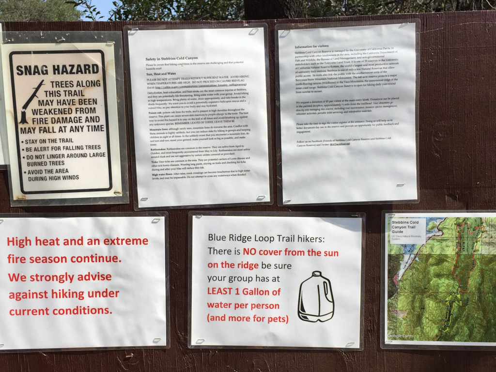 Falling trees, high heat, fires, snakes, poison oak, ticks, mountain lions, high water (that would be a different season). Maybe we should just go back home to the couch.
 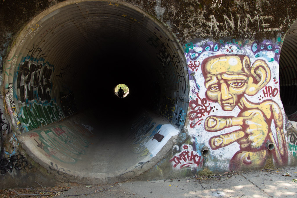 After the 2015 fire the area was rebuilt to accommodate needed parking. Now we park below the Reserve instead of on the side of the road and walk under the road through these huge culverts. This is also where storm water will go in the winter. What’s with the graffiti? I am not a fan.
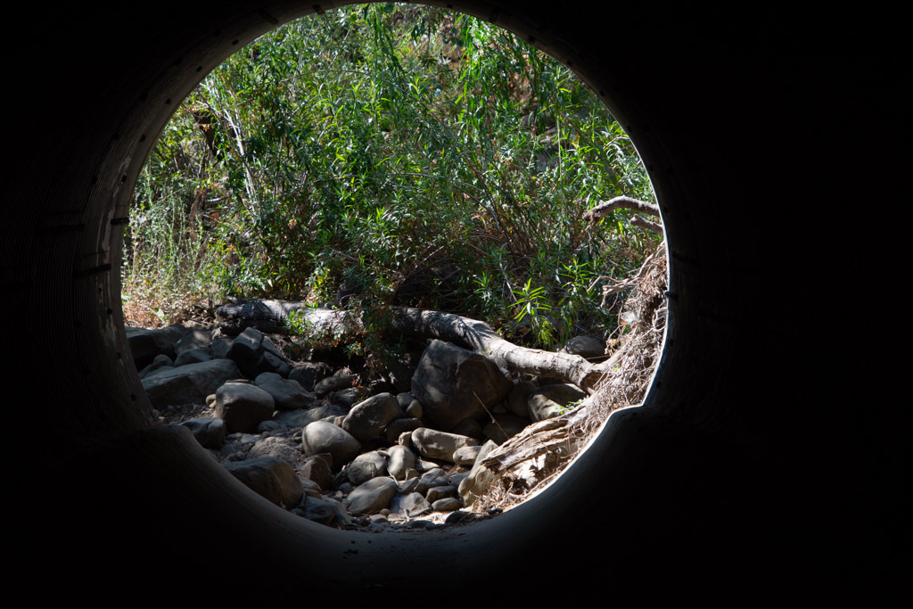 Leaving the culvert.
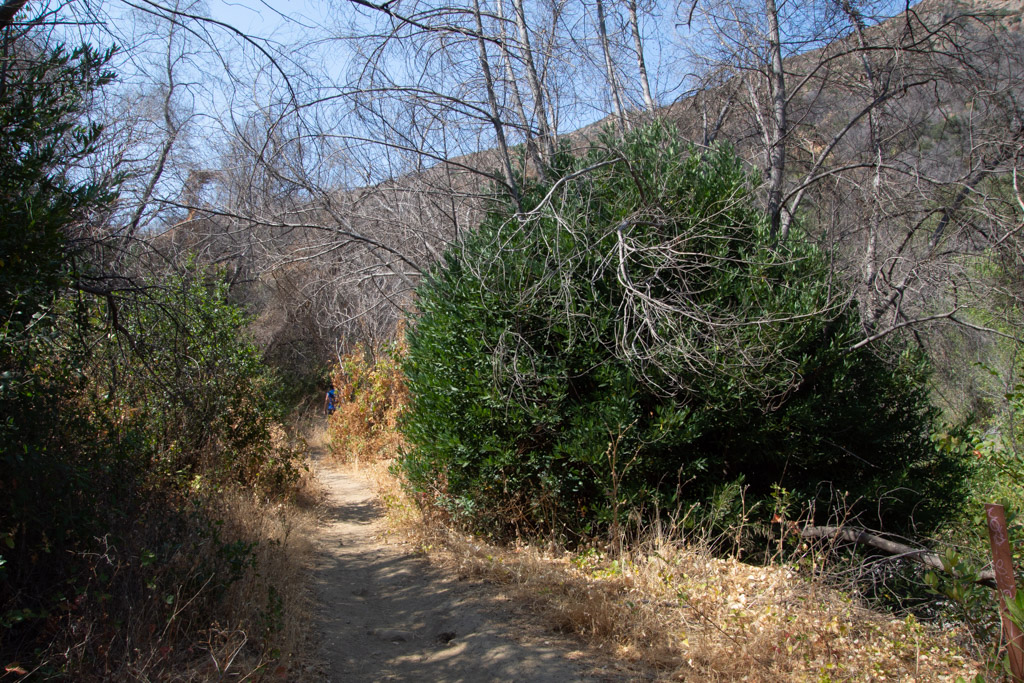 We headed out on the Blue Ridge trail, a five mile round trip. This is three years after the fire. That bush on the right is a CA Bay Laurel growing from the base of the burned tree (it can take on the form of a bush or tree).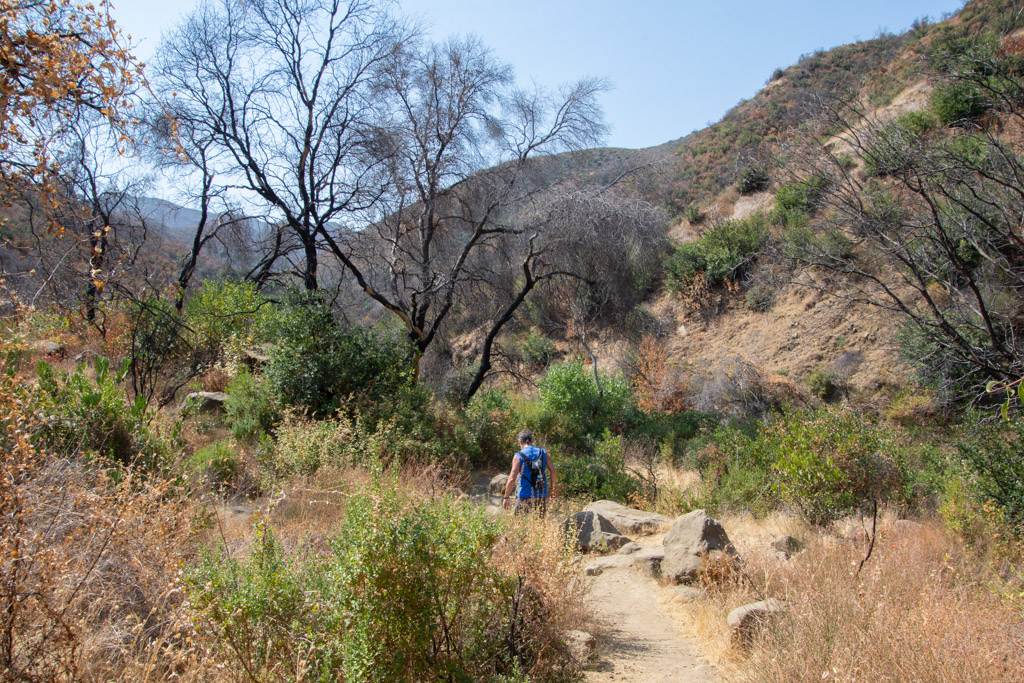
 Our first hazard, poison oak.
 Maybe the next time I go hiking here I’ll count the steps. The trail starts in the canyon and eventually you have to get to the top of the ridge. There may be a million stairs–at least it seems that way when you are half way up.
  Taking scenic photos is a good excuse to stop. This is a panorama looking southeast.
 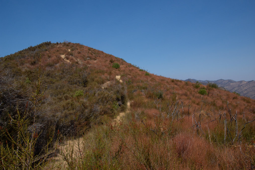 Our trail continued to the ridgeline. This is the bluest sky that I’ve seen since the fires started in June. We’re up above the smoke and haze here.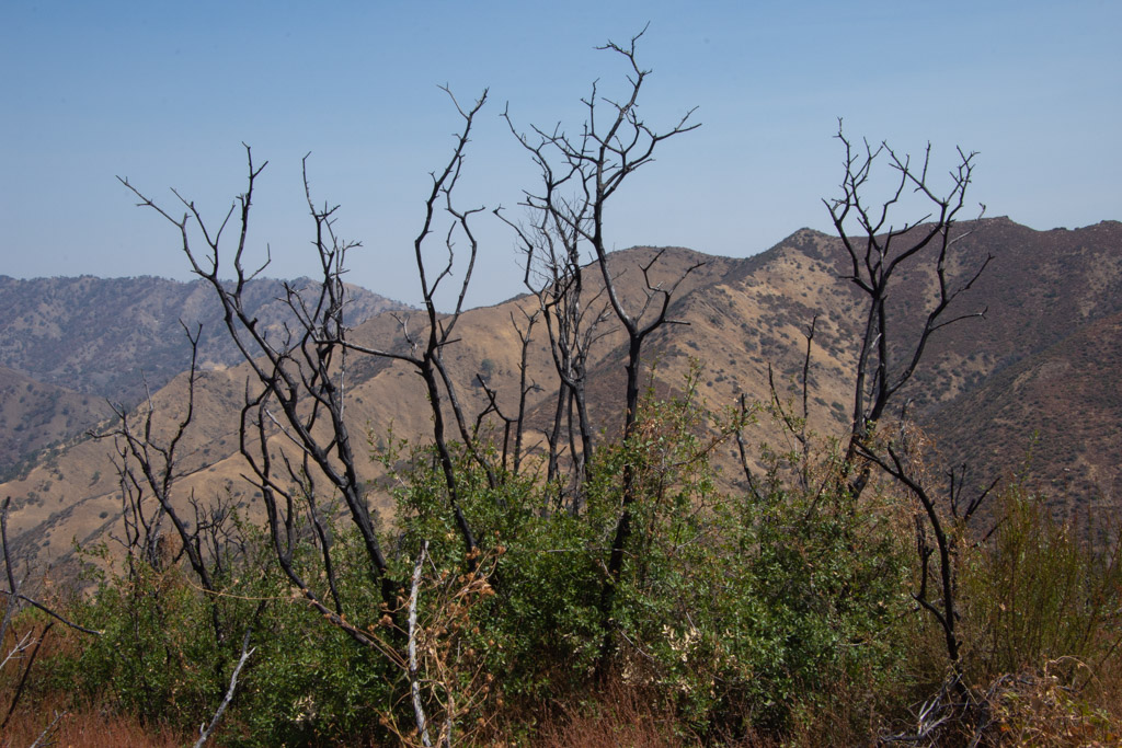
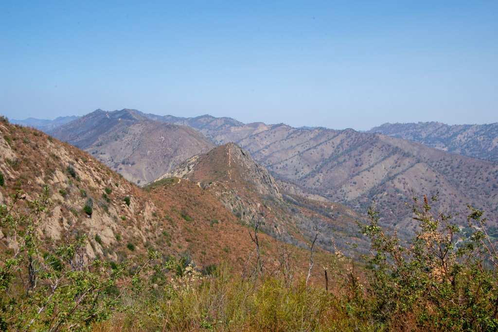 View to the east. That little line on the ridge is our trail.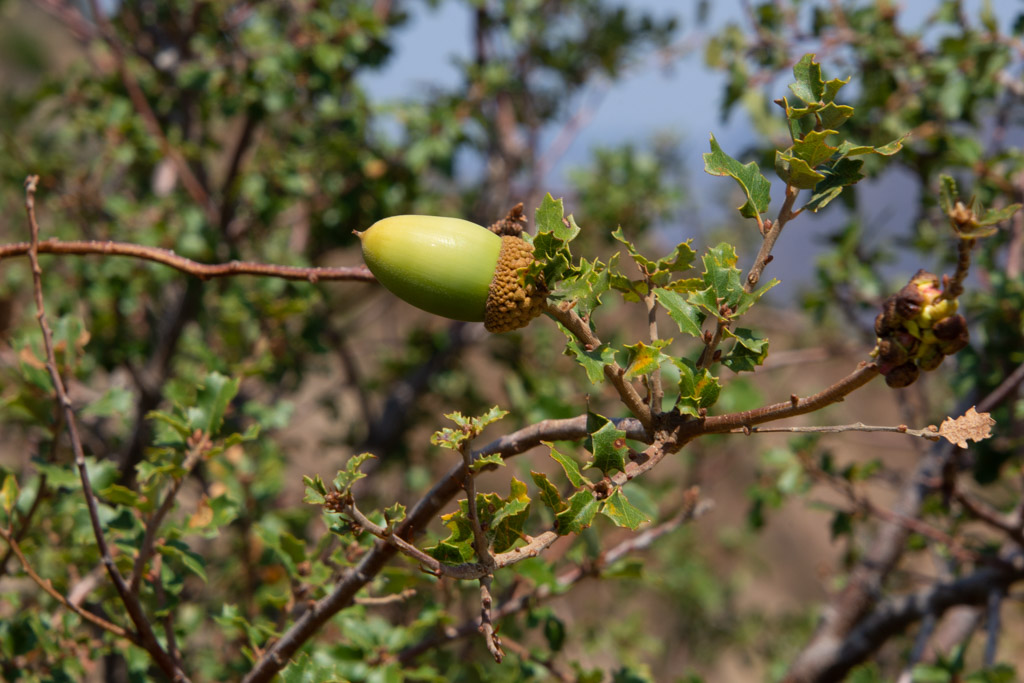

 From the top you can look down to Lake Berryessa. Except for the foreground most of the land was burned this summer.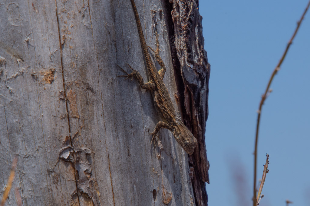
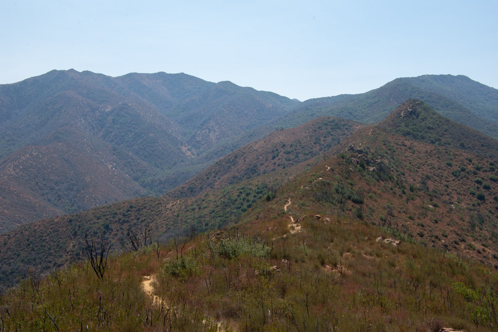 More of the trail. Keep walking.
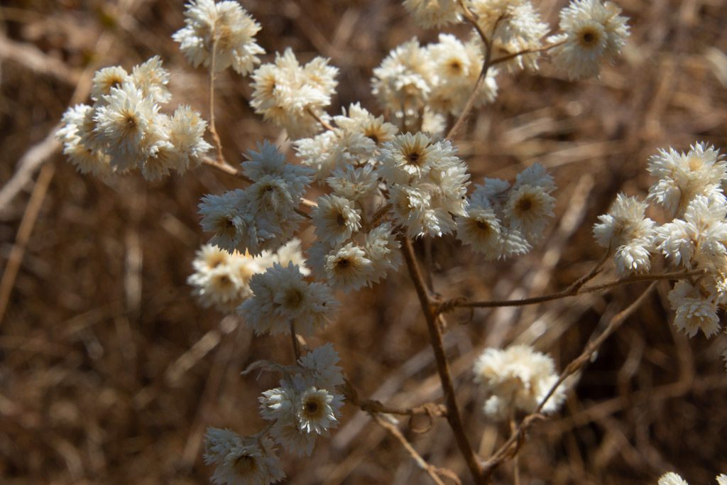 California Cudweed.
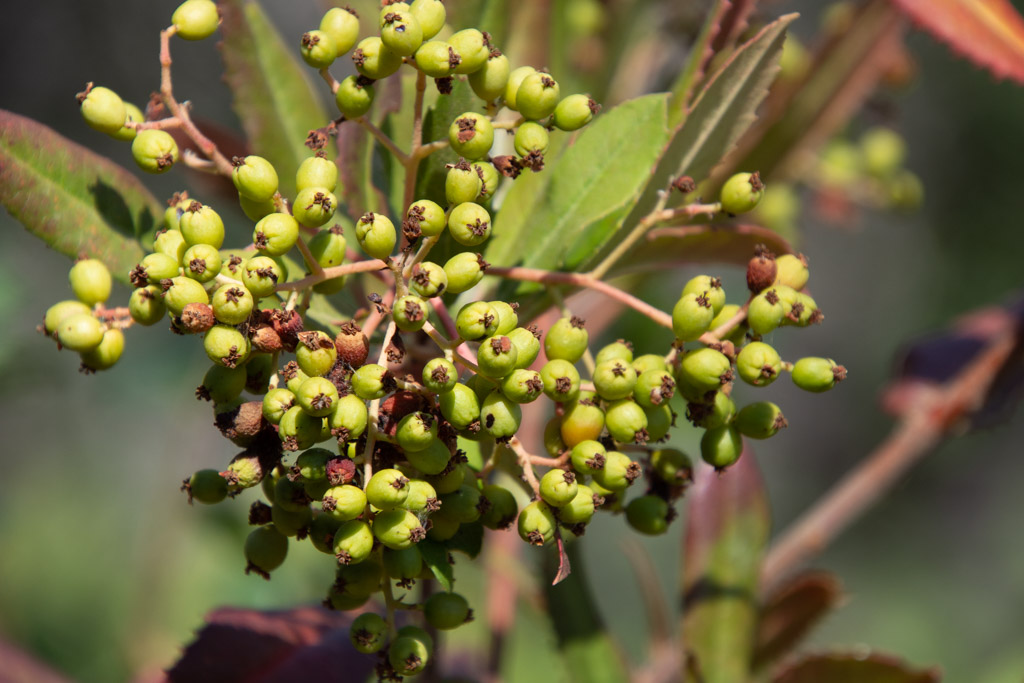 Toyon berries.
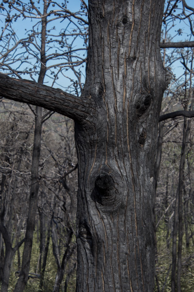
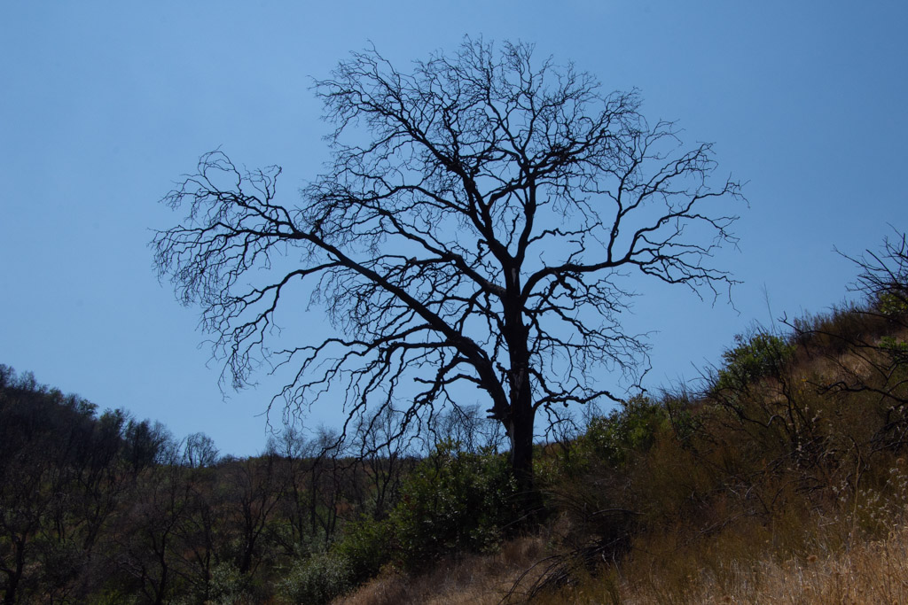 Burned oak.
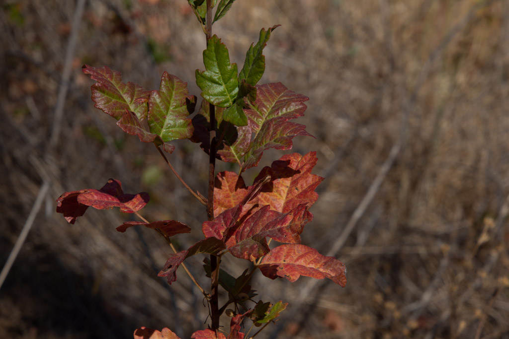 Fall colors (more poison oak).