On Monday we went on a hike with my brother and sister-in-law. I think it was actually a walk because the trail followed the edge of the lake fairly closely. Doesn’t a hike involved dramatic changes in elevation or at least some level of difficulty? Regardless, it was a beautiful day while the annual growth is still green and not all the trees have fully leafed out. (Is that a word?)
We drove to the north end of Lake Berryessa and stopped at the trail head.
My brother has been here several times and expects to find ospreys and eagles. We saw ospreys in the air on the way here and found another not long after starting on the trail.
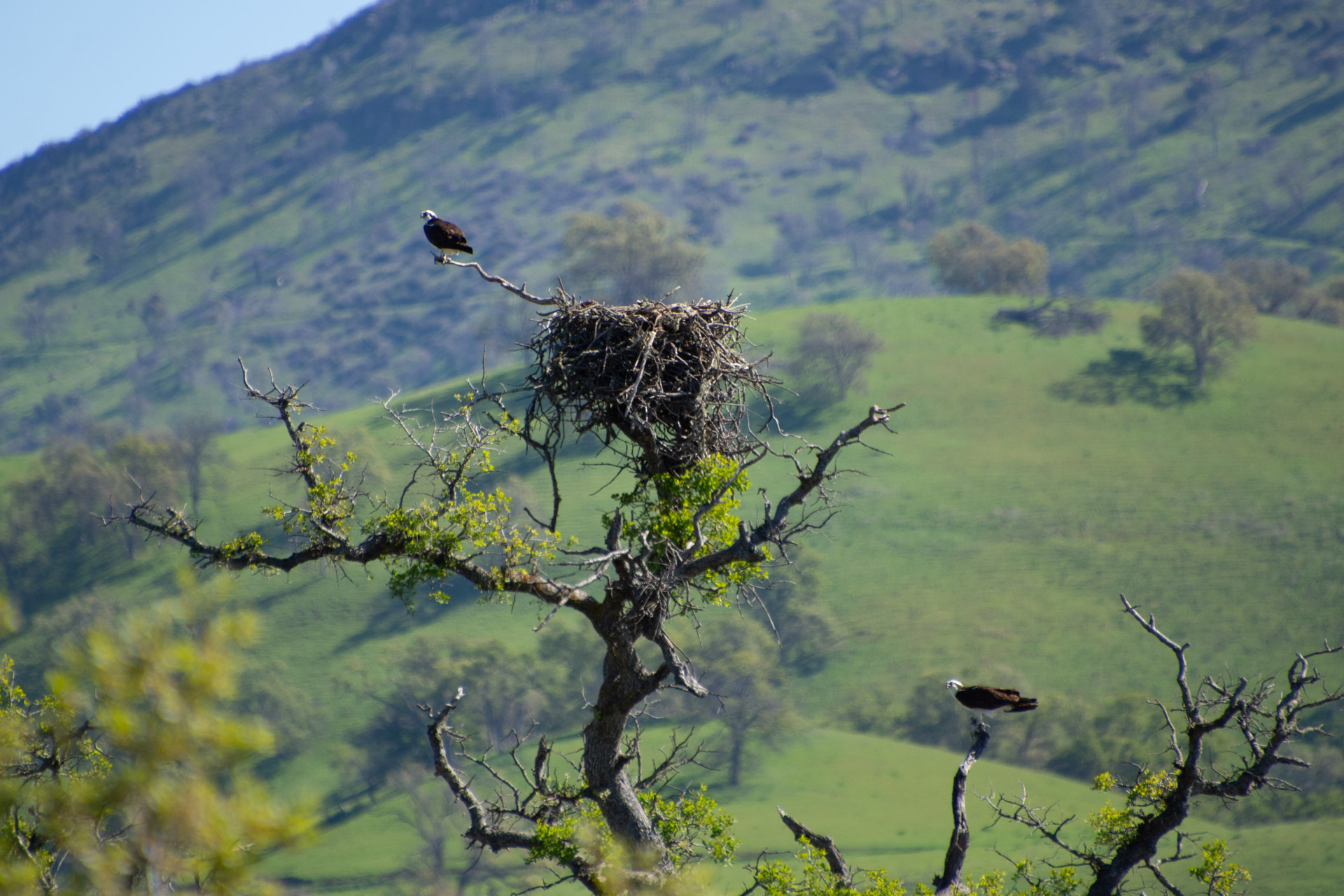
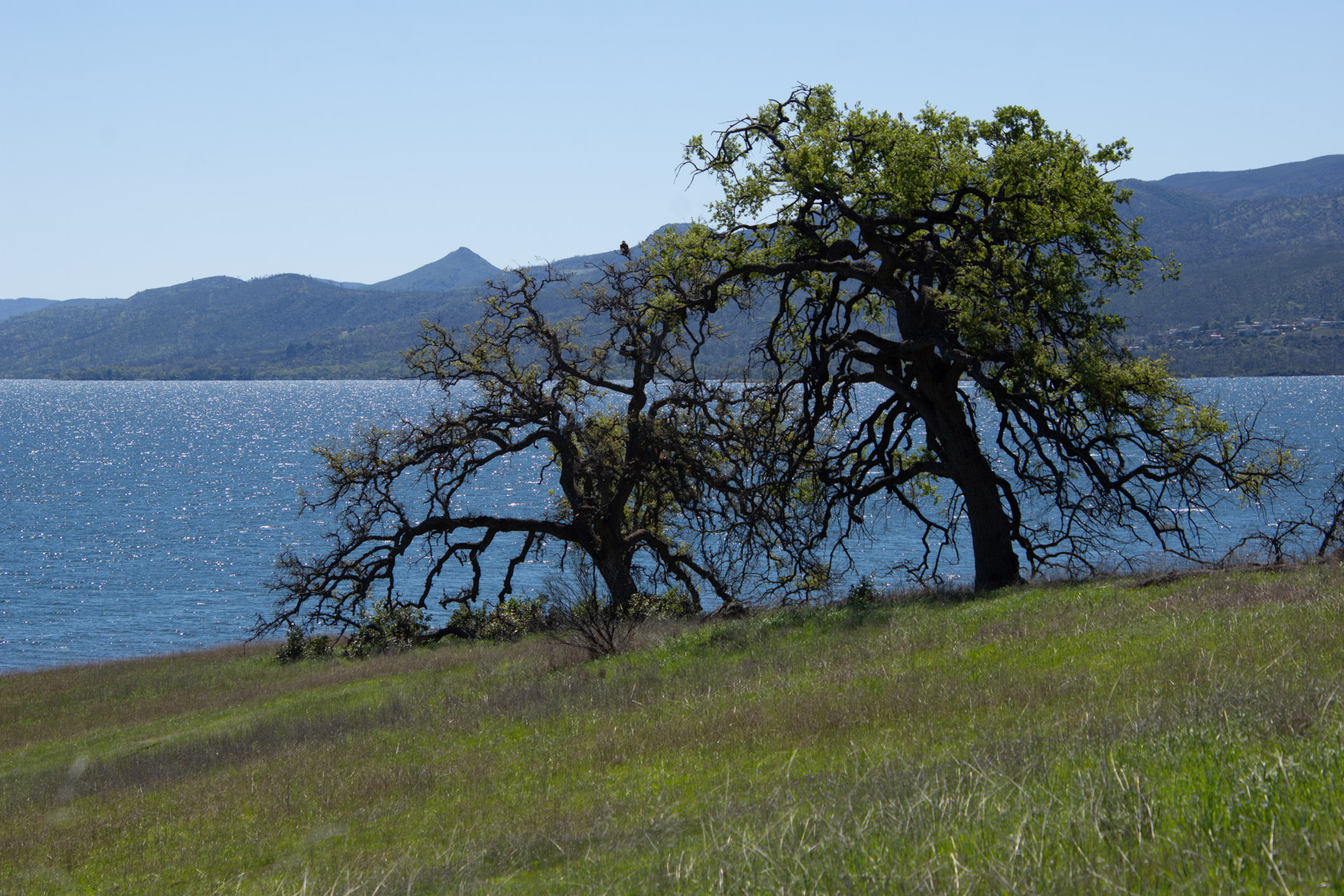
This is a view of the landscape and the lake. There is an osprey in this photo also, but you have to look hard to see it.
Here is the osprey, right in the middle of that other photo. Notice there are two here. One is below the nest.
Another view across the lake. What a beautiful site for a ranch headquarters.
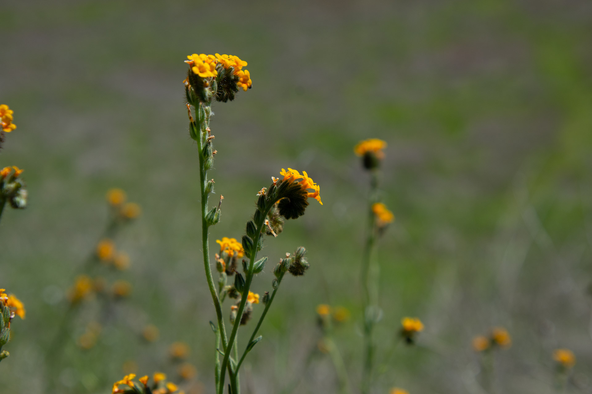
I have always taken more photos of plants than birds. Plants sit still longer and I can get closer.
Here is a magnificent oak tree.
The oak woodland landscape.
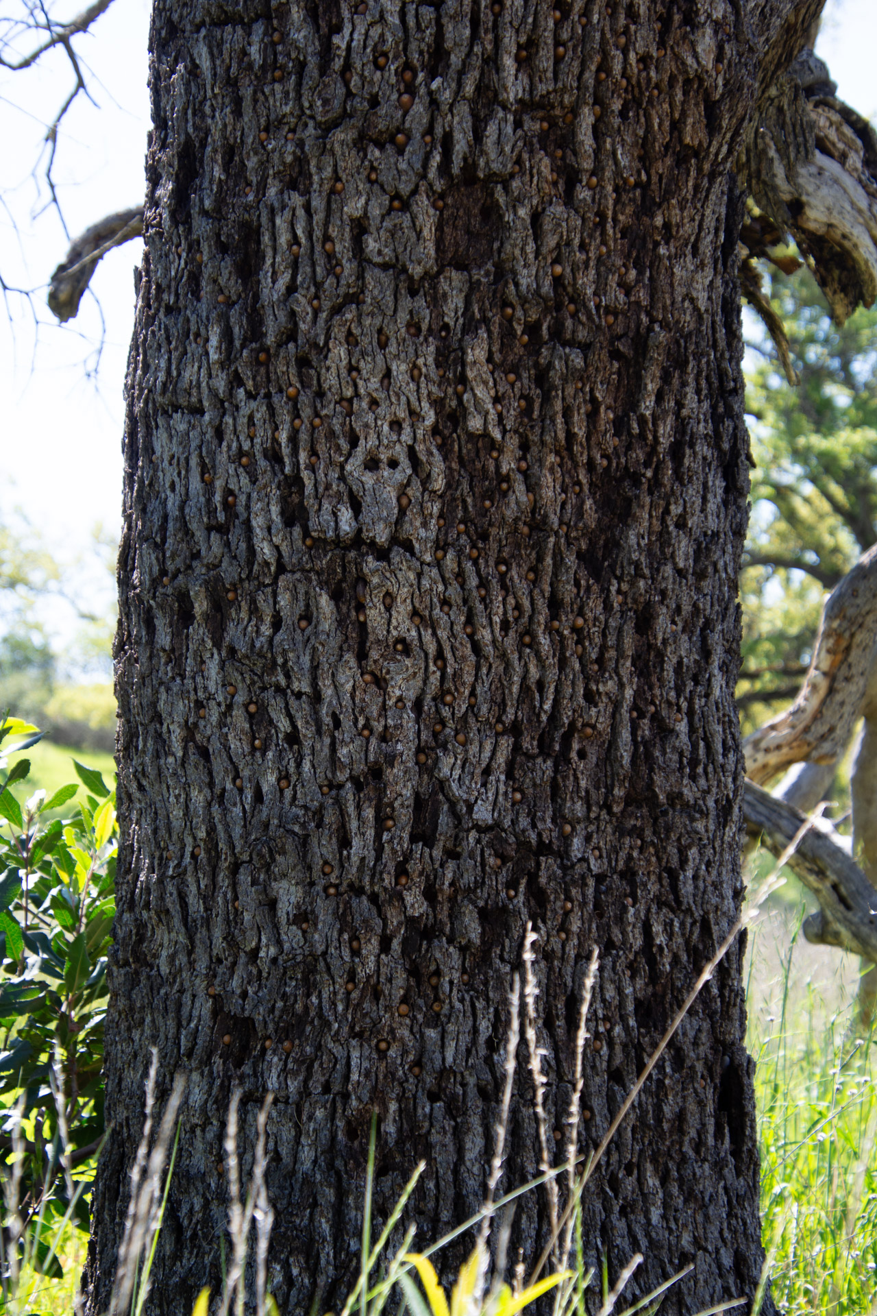
We noticed several trees with holes in the bark. Can you tell what is in the holes?
The holes are filled with acorns.
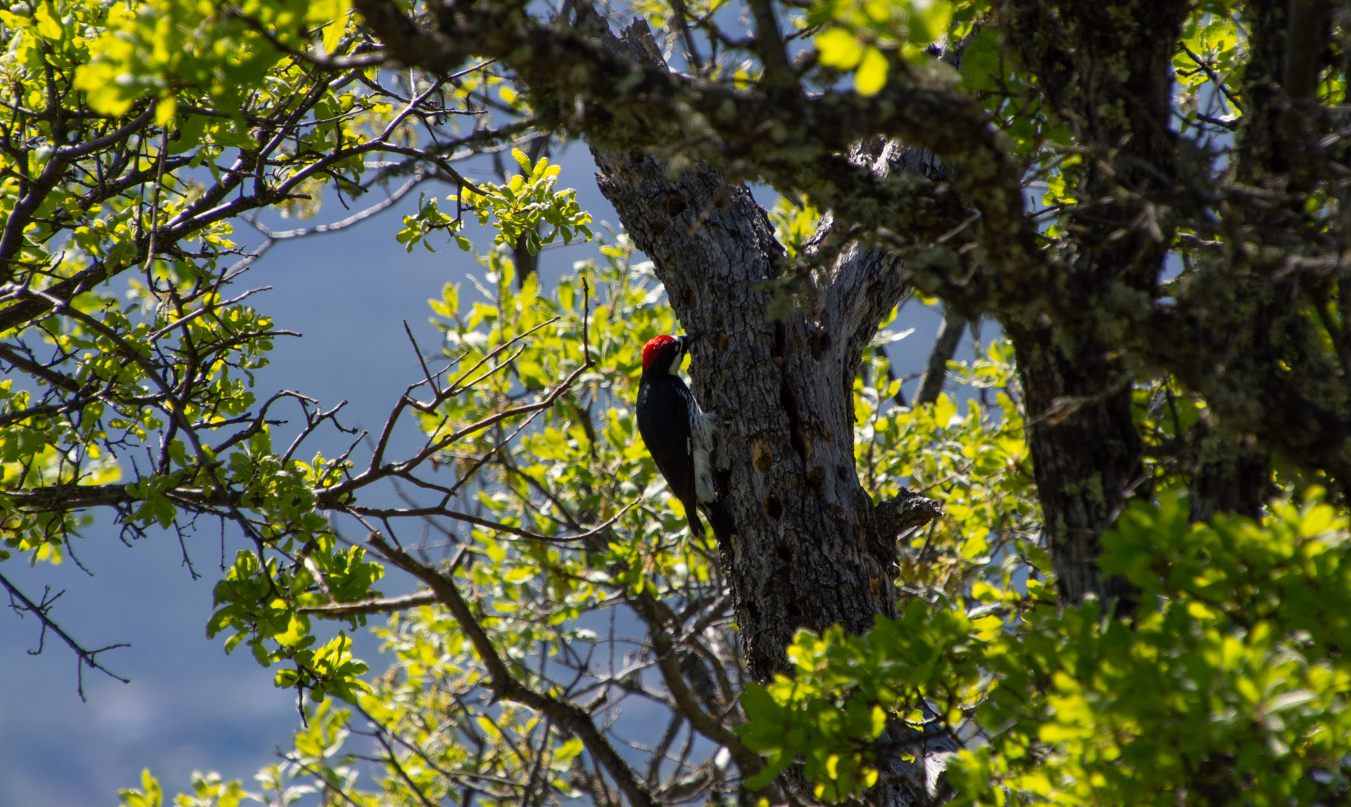
The acorn woodpecker is responsible for this. Wikipedia has this to say about this behavior: Acorns are stored in small holes drilled especially for this purpose in “granaries” or “storage trees”—usually snags, dead branches, utility poles, or wooden buildings. Storage holes—always in dead tissue such as bark or dead limbs—are used year after year, and granaries can consist of thousands of holes, each of which may be filled by an acorn in the autumn.
This turkey vulture wasn’t about to leave his meal, although three others did fly off as we walked by.
Can you spot the bird here?
This one is a bald eagle.
We walked about as far as La Pointe (on the map at the top) and turned around because we all had visitors coming for dinner. On the way back we saw the same osprey pair.
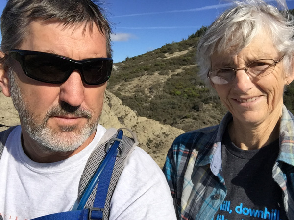
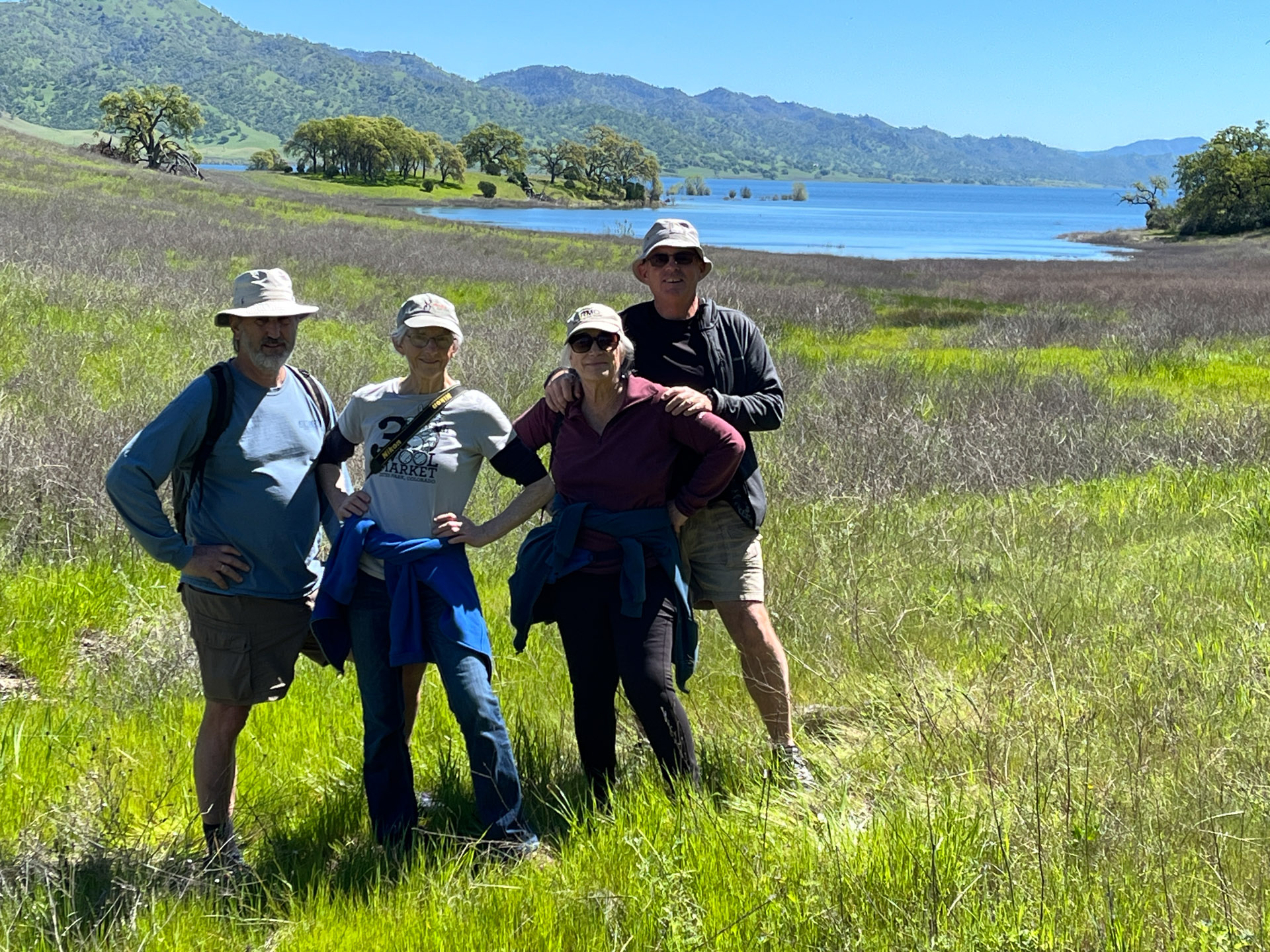
This is Dan, me, Kathy, and Dave thoroughly enjoying the day.
Here is the Part 1 blog post. I just realized that I got the timeline wrong. That restaurant dinner was on Friday night. The library visit was Saturday. We ordered dinner to be delivered from Kung Food on Saturday and had enough left over that some people had it for lunch the next day as well as taking some home.
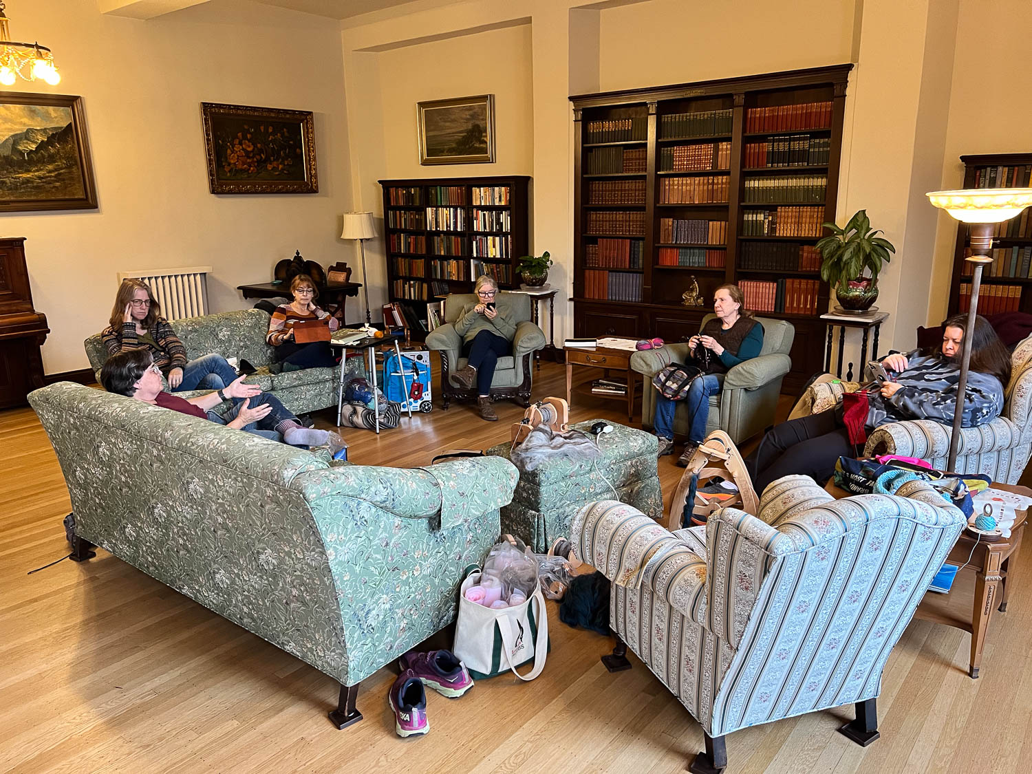
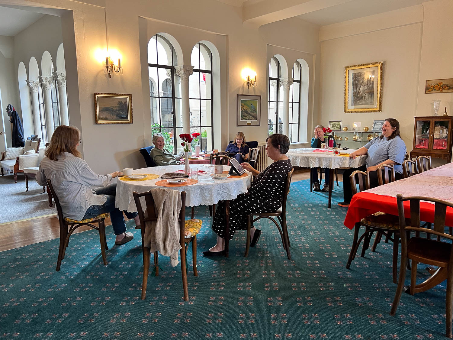
Both evenings and during other parts of the day we arranged ourselves in the parlor and working on projects. The parlor is the room that we were surprised and dismayed last year to find out there had been severe water damage and it was closed for repair. The floors and ceiling had major repair work. The difference this year is that there is no carpet and some of us commented on the different feel to the room. It is still a lovely place to hang out. We were able to leave our “toys” there the whole weekend and come back to them when we felt like it. That empty end of the green couch is where I set up shop. I wove two rigid heddle scarves and spun on the e-spinner.
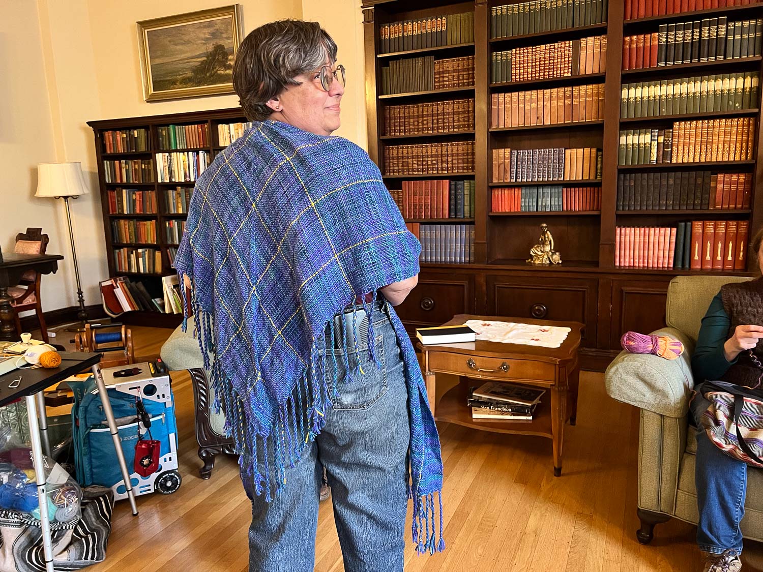
Some people knitted, some spun, and some just relaxed. Deborah used the time to finish the fringe on a v-shawl that she (and I) wove in one of my classes last year.
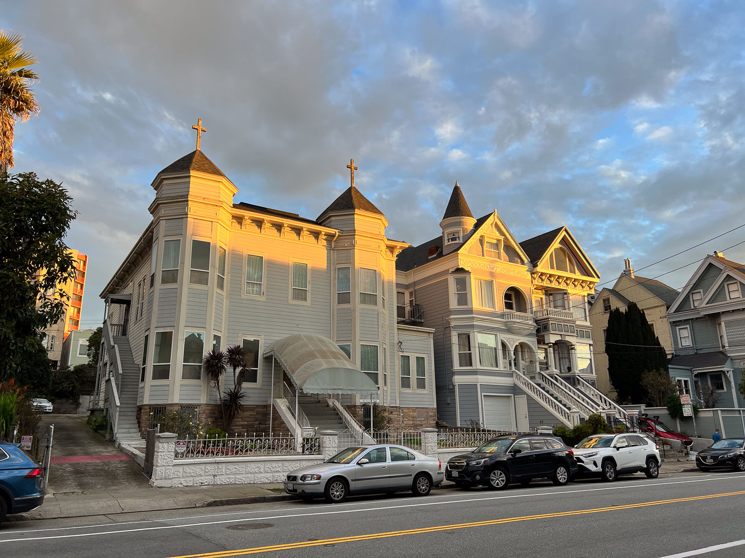
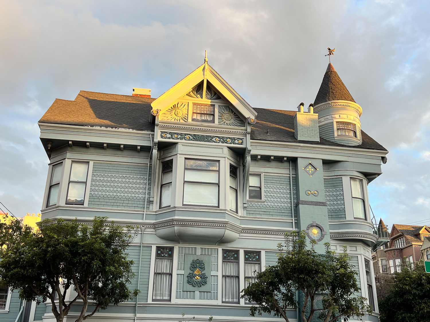
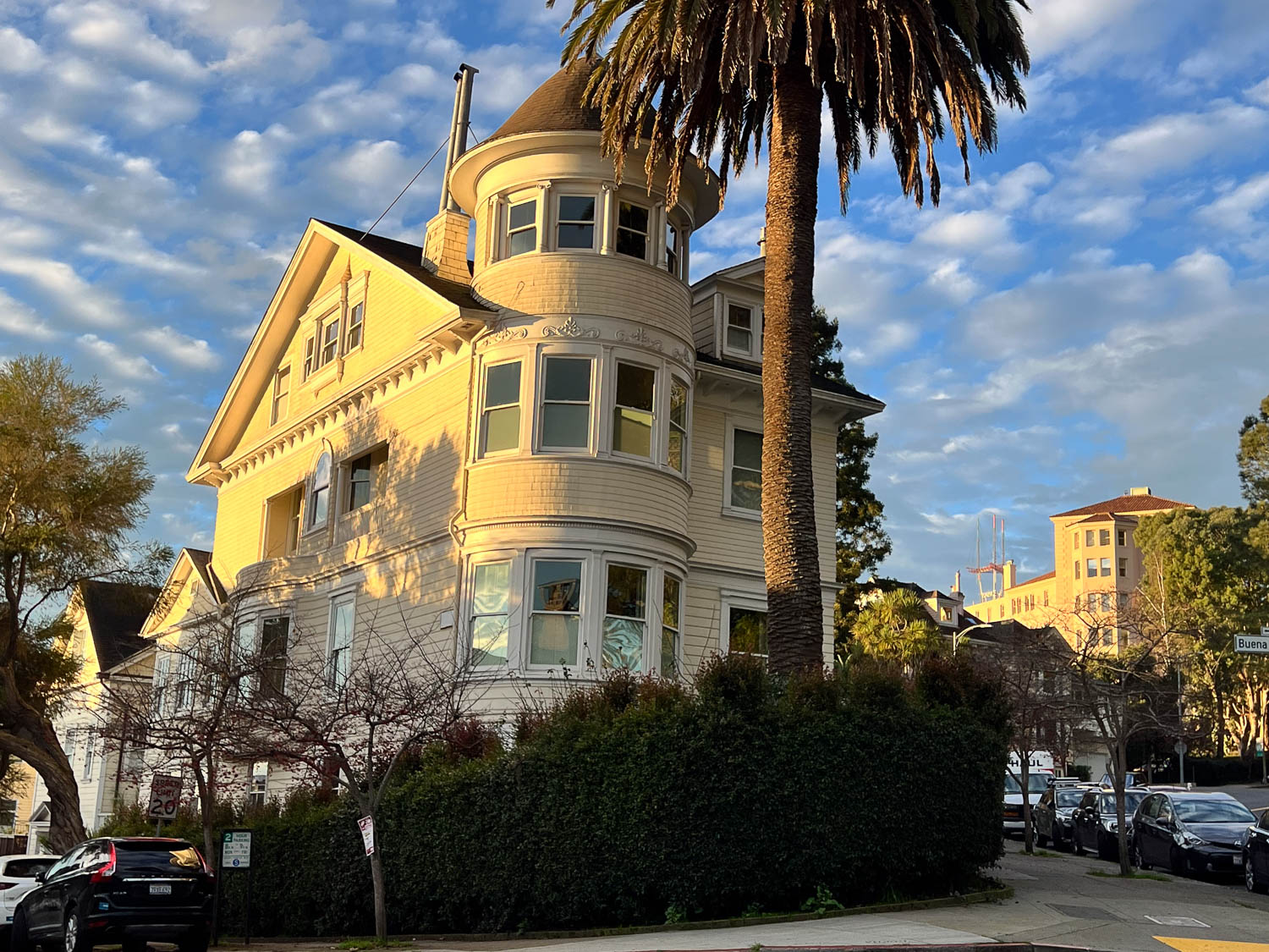
Sunday morning I decided that after all that food and a lot of sitting I’d better go for a walk. I love seeing these old houses. (One here serves as a church.)
Some of the houses are maintained remarkably well, but I noticed some as I got farther from this neighborhood that need work. I can’t imagine how much it costs to keep up the paint job and the window repairs on these houses.
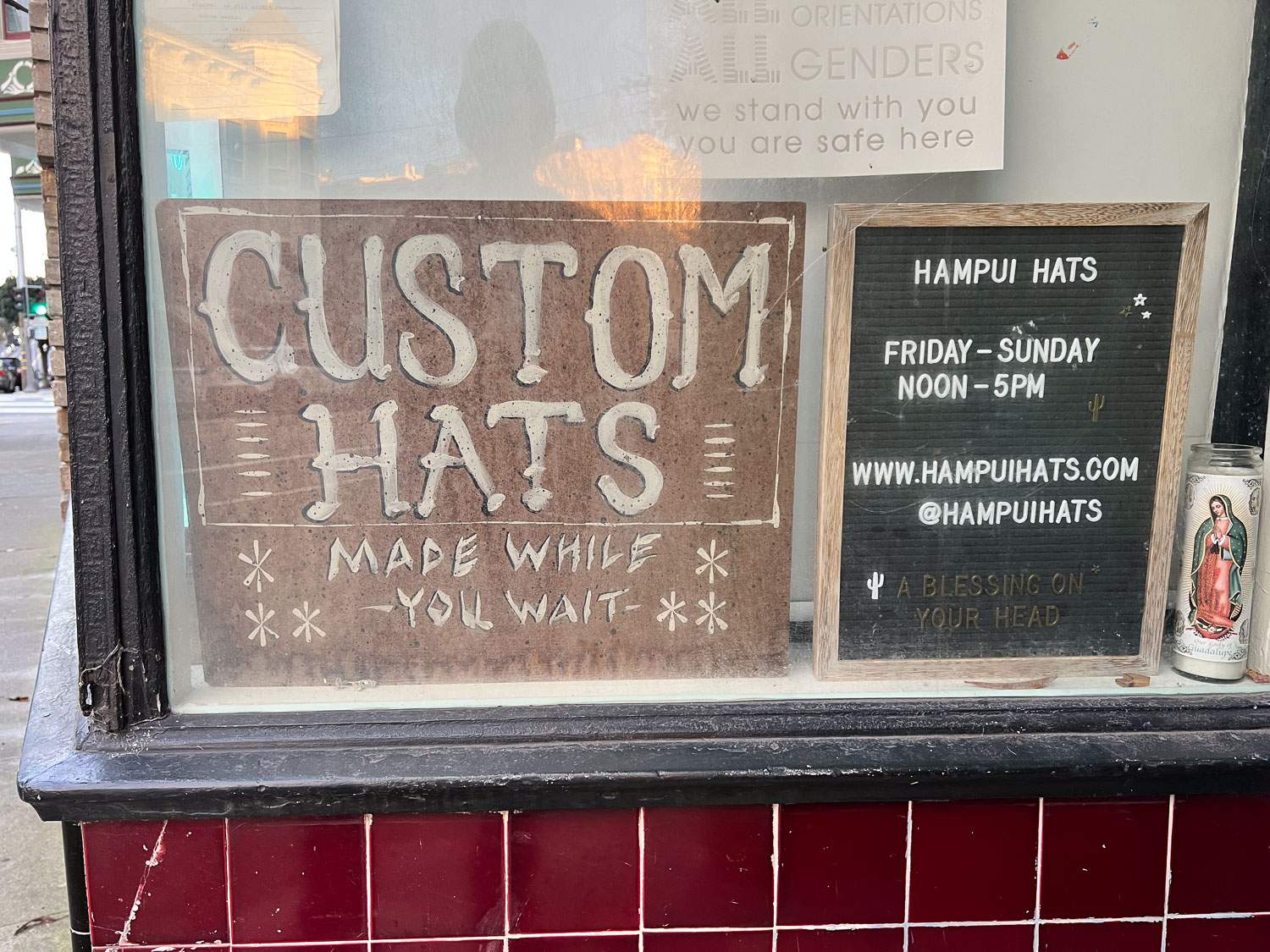
I took this photo a couple of blocks from the Home. Now I wish that I had investigated at the time and we had gone back. I assumed that “made while you wait” would mean that someone has a circular knitting machine and they crank out acrylic beanies. NOPE! I have looked at the website, www.hampuihats.com, and these are felt hats, among others. The website is impressive and the process is interesting. I encourage you to look at it.
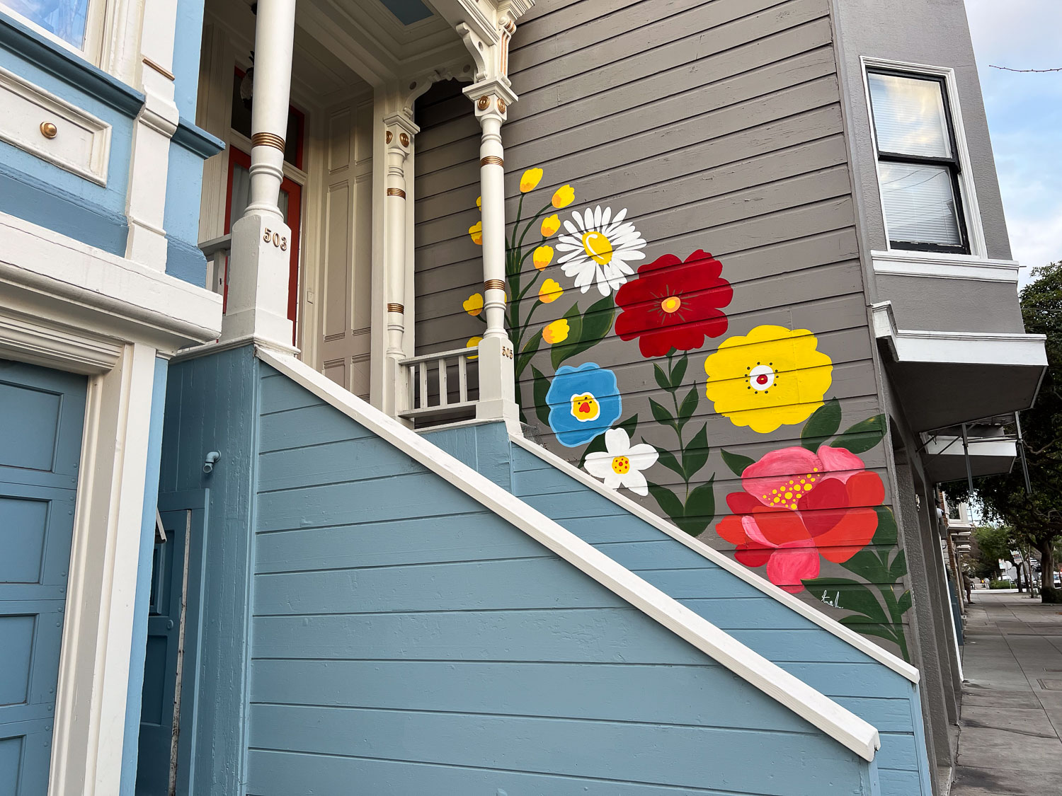
A different kind of home decoration, still beautiful.
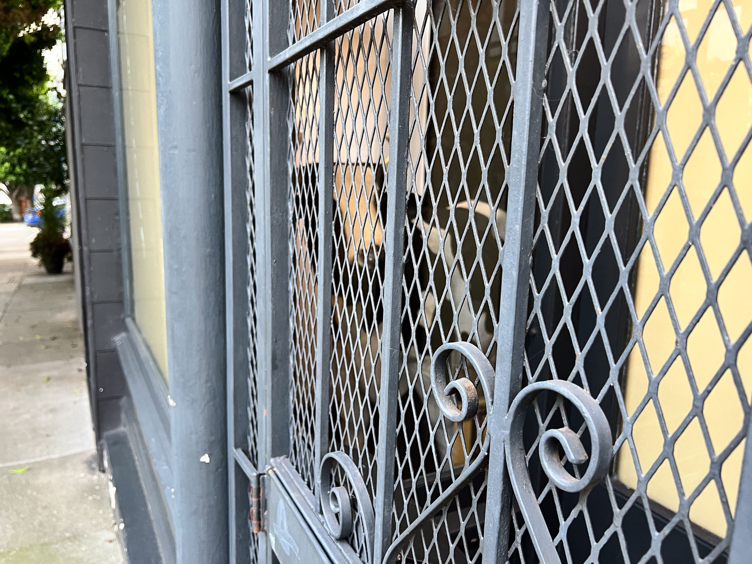
I wasn’t able to get much of a photo here because of the angle. There is a cow in there (not real, but a good size). You can see the face between two of the bars in the cetner and the body between another two.
Isn’t this a wonderful house?
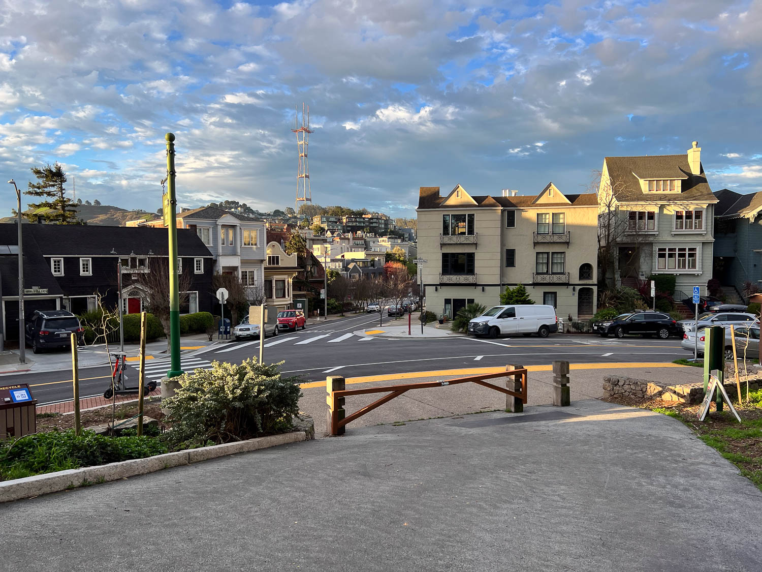
Buena Vista Park is across the street from that last house. I walked into the park and up and down paths through and around it. I came out with this view. Now that I’m looking at a map I see I was at the south side. I saw Sutro Tower and thought that it didn’t seem that far and I may as well head that way.
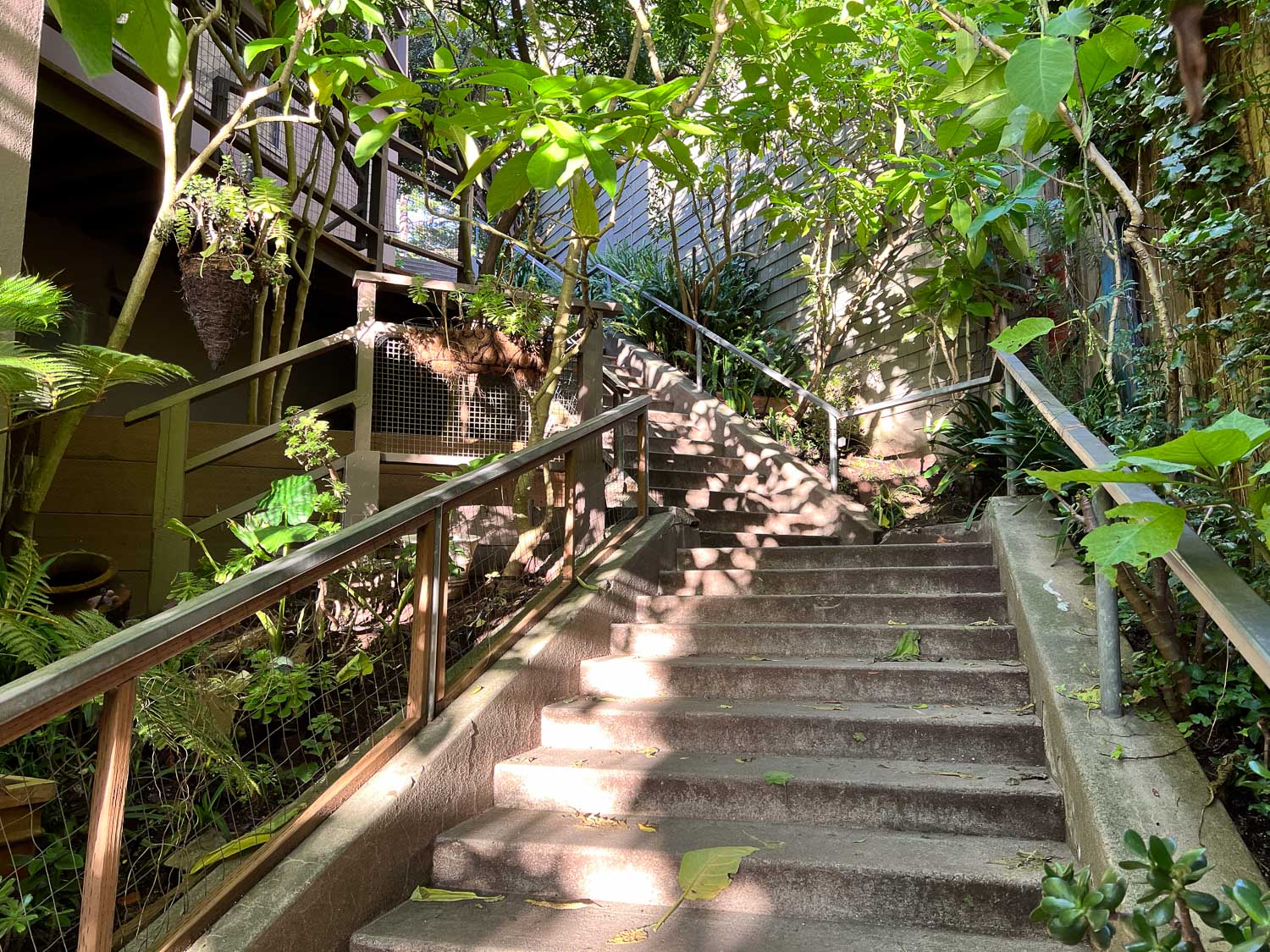
I walked along streets going in the general direction. Every so often you see a stairway that cuts between properties and takes you from one street to another.
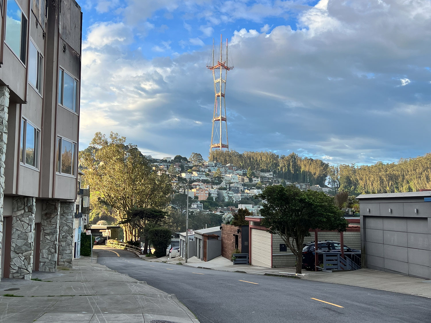
I found another small park at the top of one hill and looked beyond it to Sutro Tower. Hmmm. Not as close as I thought. I knew I could still walk there but maybe I shouldn’t spend the time. I turned around and went back taking a different route through Buena Vista Park.
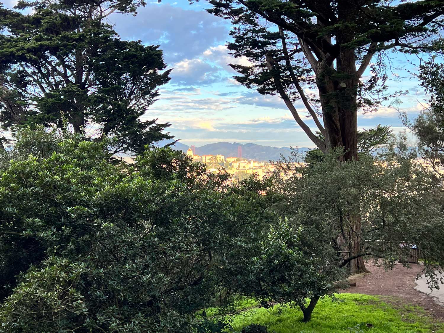
From there I looked to the north and saw the Golden Gate. You can see the towers just below those distant hills.
I got back to the Home and many of our group had gathered in the dining room. We finished off yesterday’s pies and spent more time in the parlor visiting and spinning before we headed home about noon.
What will next year bring? If the weather is good I plan to walk to Sutro Tower and maybe through some of the other parks in the city.
M birthday was last week and I spent the day with my son exploring some of the El Dorado National Forest.
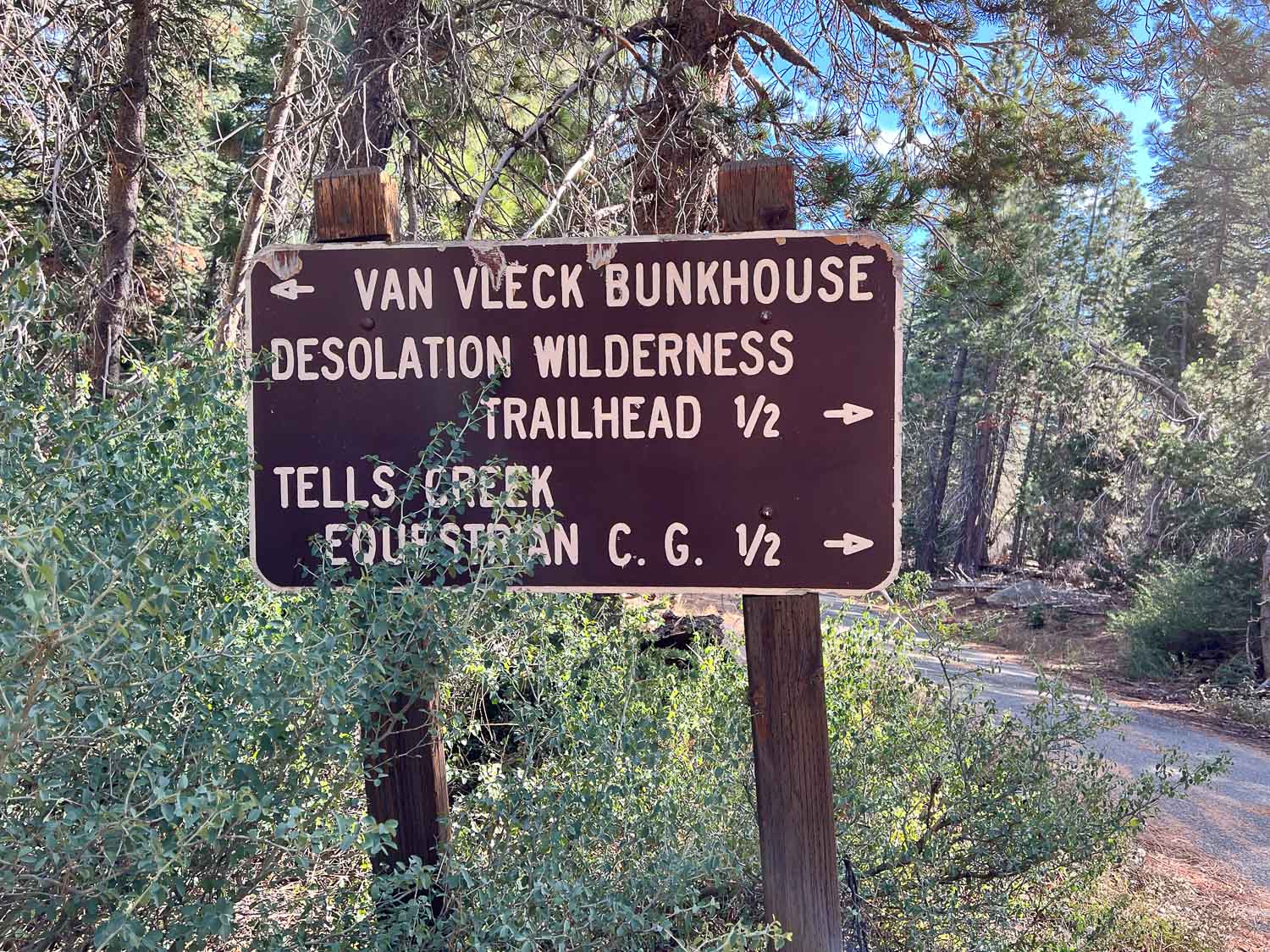
Matt drove and I wasn’t looking at a map so all I know is that we headed up Ice House Road and went beyond some of the other areas we have hiked in the past. The first stop was to look at the Van Vleck Bunkhouse, built in 1957, and now rented by recreational users from the Forest Service.
I had no idea that the Forest Service was in the vacation rental business. This might be a fun place to stay with a group of people. It sleeps six, has propane for cooking, but no electricity, and has running water during the summer.
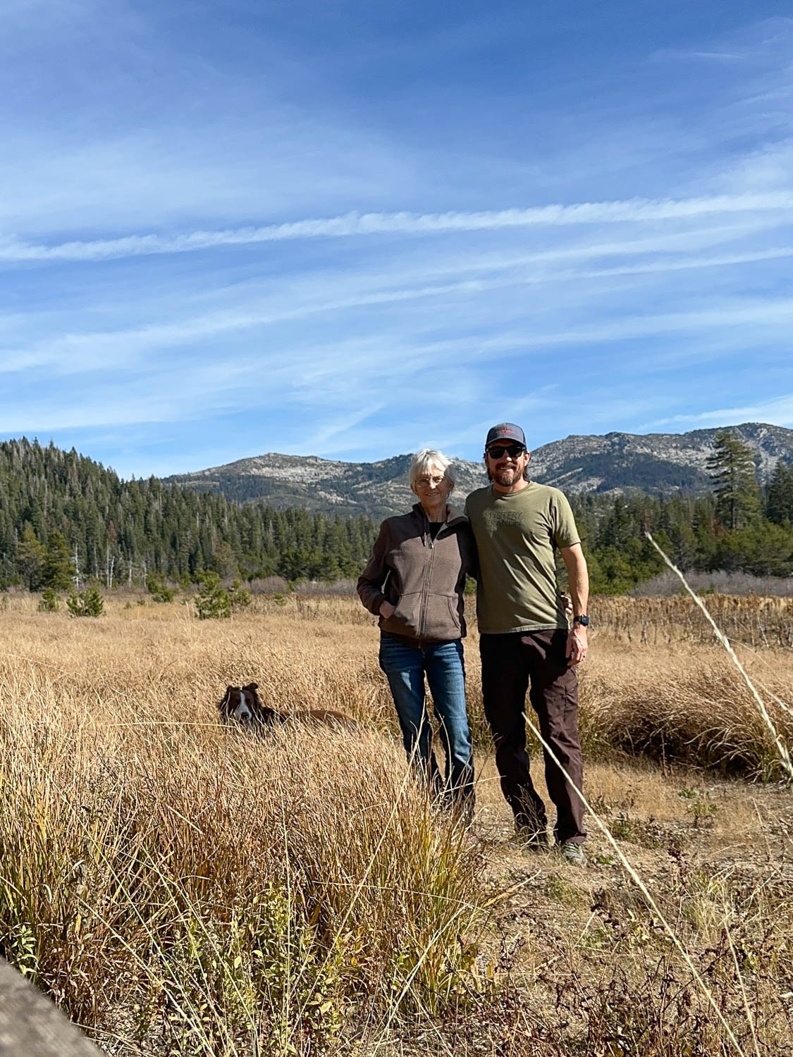
This is the meadow south of the bunkhouse with Desolation Wilderness in the background.
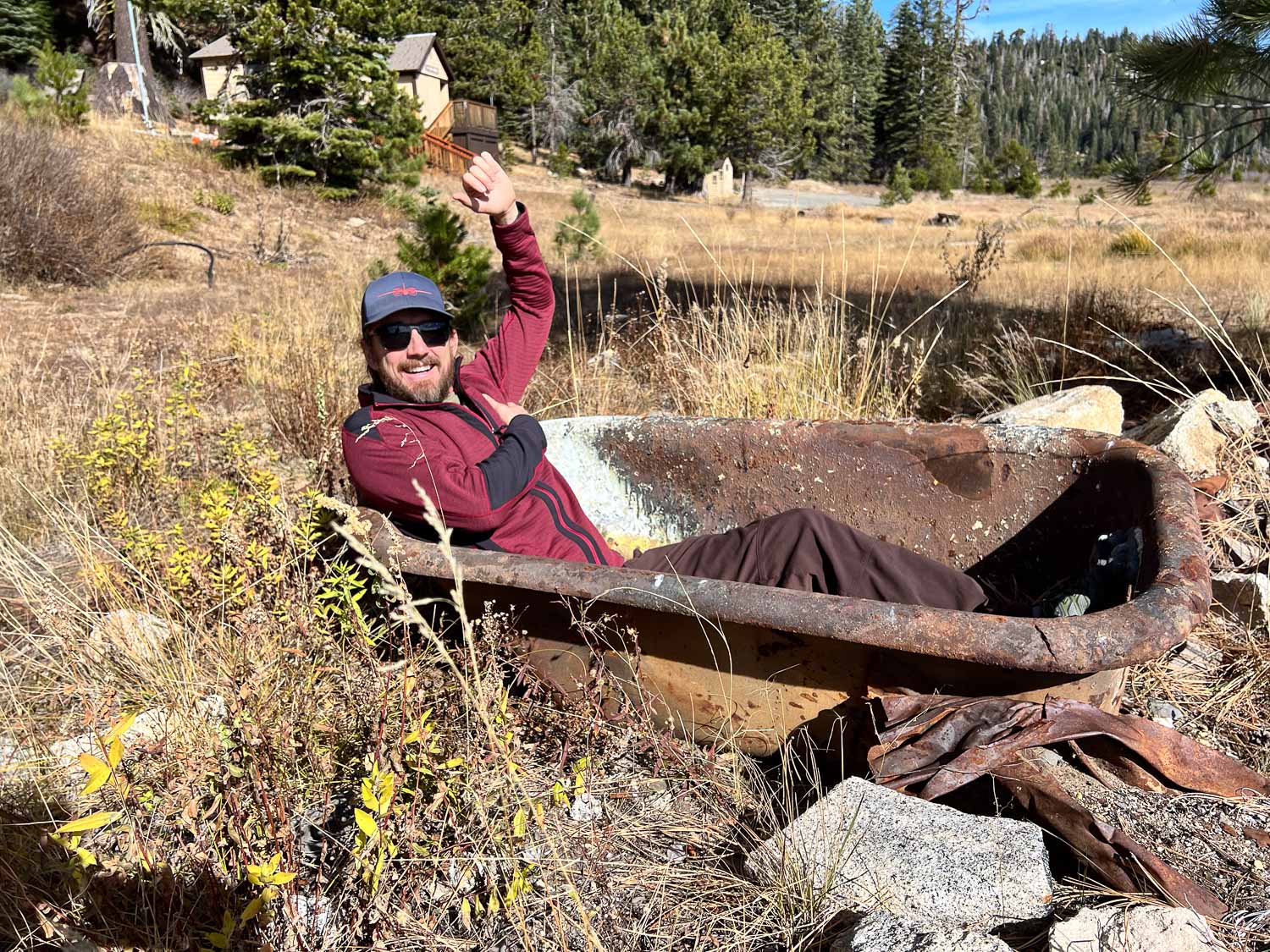
Matt didn’t care that there was no water. He tried out the bathtub at the edge of the meadow.
This is more of what was the meadow. Matt said that several years ago they did a prescribed burn here to maintain the meadow, but trees are encroaching again.
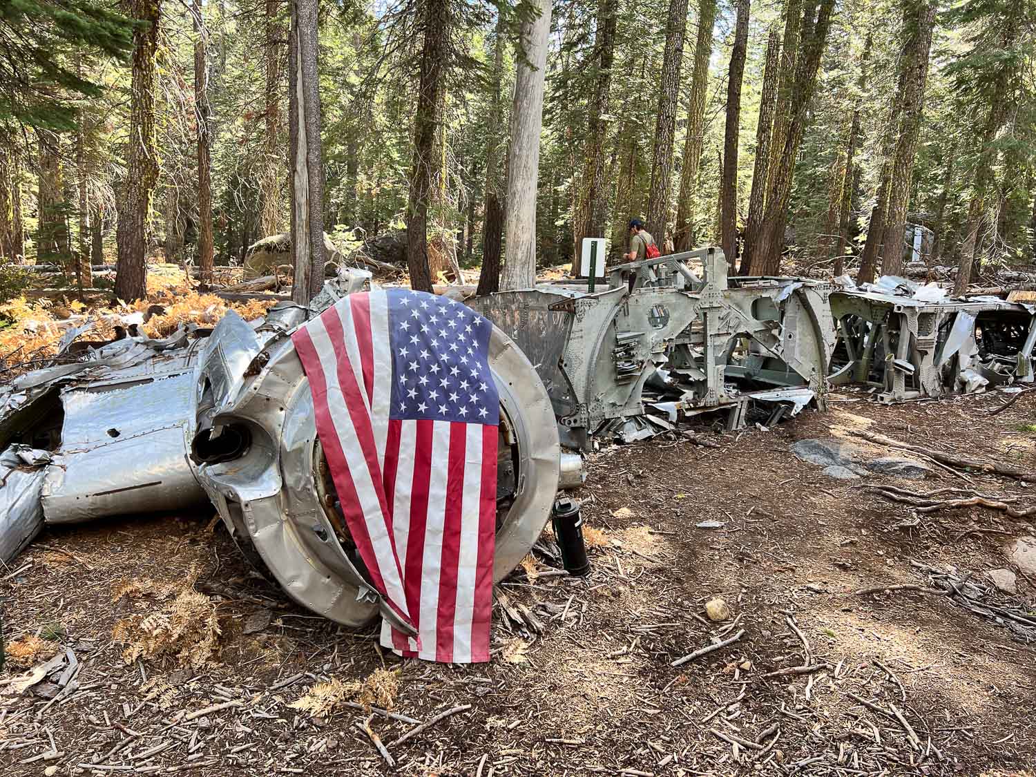
After leaving the meadow we drove further and then followed GPS coordinates to find the site of a plane crash in 1941. The info at that link tells of the air force pilot and crew that were flying a B-17, known as the Flying Fortress, from Salt Lake City to Sacramento. Due to weather and mechanical issues it went down on November 2, 1941. The pilot had ordered the passengers to put on parachutes. They all made it out but the pilot did not and two days later the crash site was discovered. We were here exactly 83 years later.
There is a trail of sorts to the site, but you’d still have to know where you’re going to find it.
The wing stretches off to the right. The other wing is at a different location.
This is what the remaining wing looks like.
Matt had the coordinates of other parts including the wing, and we walked farther to find the site, but didn’t see it before we turned back.
As we walked back down the trail I turned and could see the plane from an angle where I hadn’t noticed it before.
There were several downed trees in the area. I was surprised to see so many down with the roots pulled out of the ground. I suppose the severe storms last winter were to blame. The root structure of this one is massive.
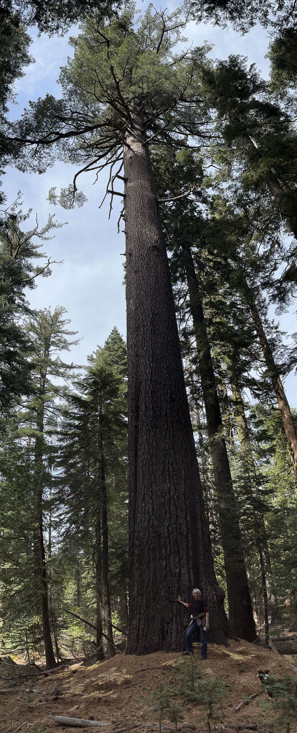
Check out the size of this tree.
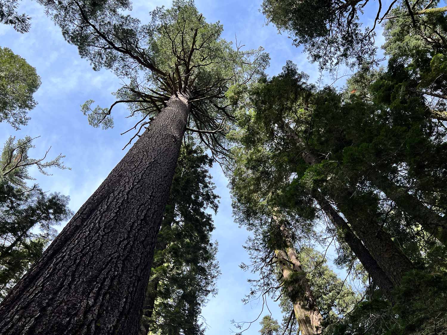
This was my view.
There were some big mushrooms too. You can’t tell from the photo but that one is bigger than my hand.
We drove back towards Matt’s house, but first turned up the road to Big Hill, the heliport where Matt used to work. This is the view of where we had been earlier with Desolation in the background.
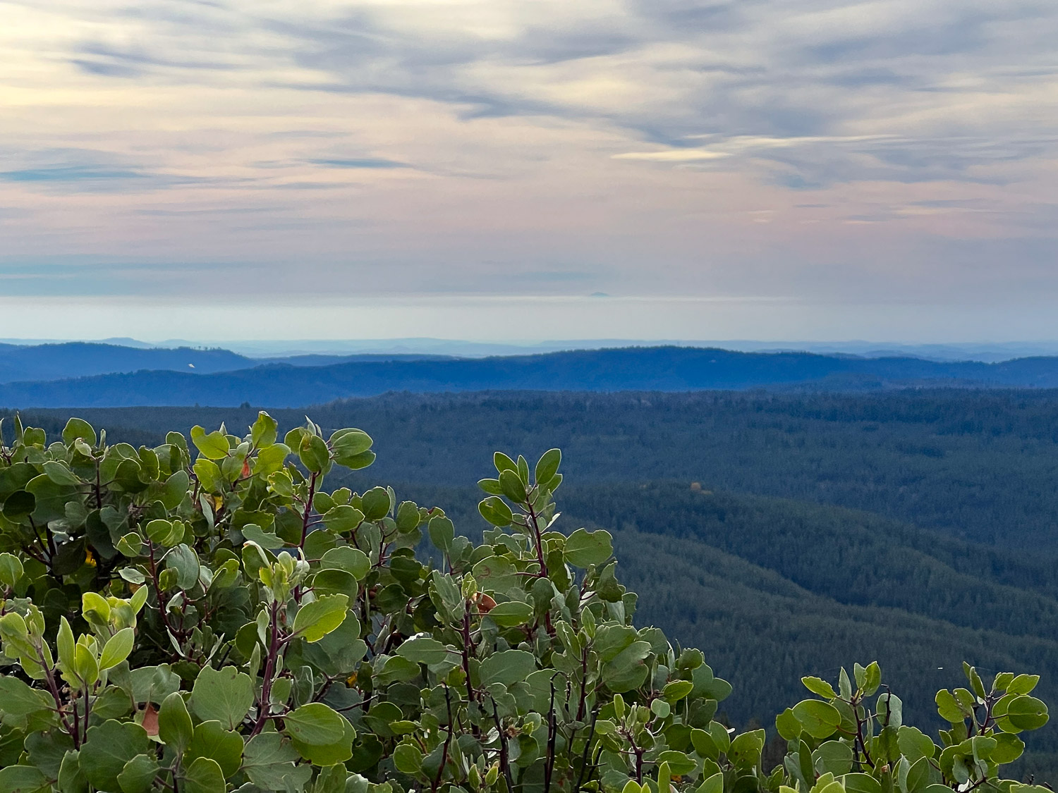
View to the west. I wish I could make an arrow on this photo. I’d point it to the mountain top that is Mt. Diablo, the mountain that I see due south when I walk Across the Road at my house. There is a strip of white above the mountains, below the blue-turning-pink part. Do you see a small dark bump just above that white strip, just to the right of center? That is the tip of Mt. Diablo. I think it’s interesting to see it from a totally different vantage point.
I started writing this blog in 2008, but when I started my SquareSpace website (www.meridianjacobs.com) in 2019 I switched to writing my blog there. It bothers me that if (when) I stop using the website for business someday and, therefore stop paying for it, I’ll lose all my blog posts. My blog is like my scrapbook and I like to look back at things every so often. Besides, I liked the way that I could find previous posts when I wanted to here. It’s never worked as well on the other site. I hope I can set this up the way I remember from the old days. Hmmm. 2019 was the “old days”, the “before” days. Before the major injury I had and before the pandemic. Things seem different now. Rusty’s blog is still here too although he didn’t write anything after mid- 2019.
Another thought is that the website blog should be business and this one is more the rest of life. However, in my life business and everything else are completely intertwined. Is it realistic to think I can keep up with two blogs? That’s doubtful. So this is a trial to see if I like this and how best to do it.
About two weeks ago we drove to Ukiah to deliver wool to the mill. Knowing this was the best time for wildflowers we planned to find a place to hike on the way back.
Here we are overlapping business and pleasure already. The trip was to deliver wool and I decided to bring my Ashford e-spinner to make use of time while on the road. It works great this way, although it would have been handy to have it on a box instead of the floor.
We stopped at a place where Dan remembered seeing a trailhead. Don’t confuse this Lynch Canyon with the one in Solano County. We were in Colusa County. There is nothing here except a place to park and this map, which has seen better days.
The trail is a dirt road and you can see that its going to be very hot once summer is here.
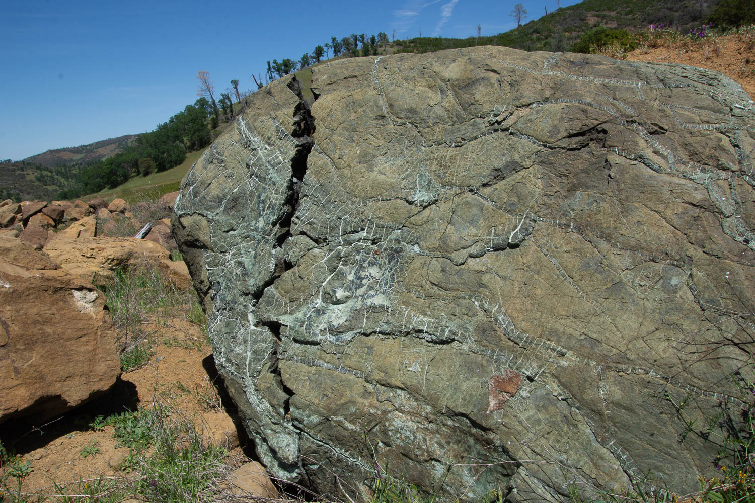
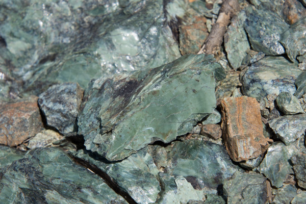
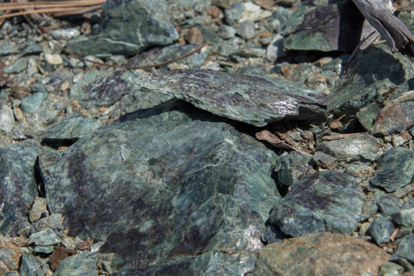
The first part of the hike is across the side of the hills where it looks as though maybe rock had been removed when making the highway. It looks as though the terrain was disturbed years ago. Along side the dirt road we were walking on were these boulders of serpentine.
I am fascinated by this rock and by the photo. Doesn’t it look as though that brown part in the center is something dropping in front of the boulder? Or is that just me seeing it that way? That is part of the rock.
I am disappointed that I don’t know all the plant ID the way I think I used to. However I don’t remember ever seeing this grass. It is quite different than the usual species we see.
I can identify an oak tree, however, even if I’m never sure of which oak it is.
About a mile or so away from the main road we found this building. There are old tables and chairs and evidence of electric lights. There is also a menu on the wall for “Roadkill Cafe” and it includes things like Chunk of Skunk and Awesome Possum. This is obviously a more modern addition and you can find downloads of various versions on-line. I looked because I was trying to find out some history of this building. The best I could find is the description of a hunters’ cabin at this location. It would have taken quite a bit of effort to get this building here and also power it (a generator for lights?). Or maybe it was brought here without the plan of ever having power to it again. So it remains a mystery to me.
I was intrigued by these flowers, thinking that I recognized them and that they don’t get any more showy than this. Later I found one that had finished it’s blooming but I don’t have a photo. When it pops open it looks like a white papery dandelion. I have photos of that in one of the next blog posts I’ll write here from when I went to Jepson Prairie. It is called Blow Wives.
After a stream crossing past the cabin we found several trails going in different directions. We chose this one.
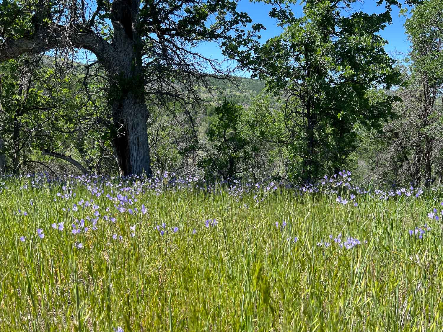
This flower is Ithuriel’s Spear, a native perennial.
In quantity, they were quite showy.
We didn’t reach the end of the trail. We kept going a little farther to see over the ridge, but there was never a ridge top to look over, just more hills and trees. Without a map we decided that we’d probably gone far enough.
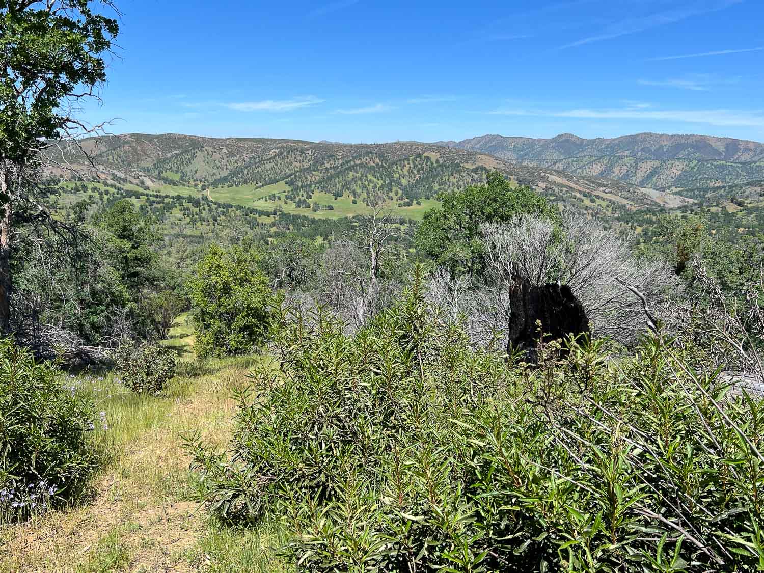
As we turned around and came back down the trail we did have a great view of where we’d been. You can see the dirt road through the grassy area at the base of the ridge on the left.
Buttercups I think.
A view of the Road Kill Cafe from the other direction.
Just beyond that point it looks as though the creek used to be dammed. This is quite a sizeable dam. It’s obviously not being used now but it makes me wonder again about the history here.
View from the car on the way home.
So I hope that I can format this blog the way I remember it from before. Then I’ll have to decide where I want to live…at Squarespace or here at WordPress… or both?
We certainly could have spent more time at Mt. St. Helens NVM (Day 2) or gone to see Mt. Rainier, or any number of other interesting places in Washington, but now we were on to our primary destination, Olympic National Park. We were concurrently following the Olympic Peninsula Waterfall Trail that Dan had read about.Our first waterfall on the trail, and before getting to the park, was Murhut Falls on the Duckabush River.I first wondered about the name of the river. You have to duck under bushes if you don’t have a ready made trail? No, in a side trip to Google I found that it is an Indian word meaning red face, referring to reddish bluffs in the area. As we found in all our wanderings in this area, the forest is dense, damp, and spectacular.A wildlife shot along the way. So far the only wildlife I was photographing was slow moving.About 3/4 mile up the trail we found the falls.The waterfall trail guide says that this one is 120 feet with another 35 feet below this point. Photos don’t do any of the forest scenery justice.Weather continued to be damp and misty but not much real rain.
You can certainly tell that this is a wet climate as opposed to most of the places we find ourselves hiking and camping.
We continued north with the Hood Canal on our right and heading towards the Strait of Juan de Fuca, the body of water that separates the U.S. from Canada. I had thought that we’d have time to visit some of the nearby islands, but that will also have to be another trip.
We stopped at the Visitor Center in Port Angeles to pick up a map, but didn’t spend much time there because we were anxious to get to the Park and figure out where we were going to spend the night. We found that the Heart O’ the Hills Campground had spaces so we parked in one and then went hiking.The forest was stunning. The trees were massive.Vegetation is dense.
There were lots of trees down throughout this part of the forest, but it doesn’t take long before ferns and herbaceous plants are growing on the downed trees and the forest covers them over.
This plant with huge (up to 15″) leaves was everywhere in the understory (see the three photos above). It is called Devils Club (Oplopanax horridus) and is endemic to dense, moist, old-growth forests of the Pacific Northwest. It has a long list of uses by Native Americans from medicinals to face paint and is covered with irritating spines.Dwarf Dogwood, Cornus candensis. I didn’t even try to identify fungi, but took photos because I like to share these with a friend who dyes with mushrooms.
We walked until we reached the creek and were undecided how far the trail continued. But it was getting to be dusk and we decided that we’d better turn back.This forest would be pretty dark when the sun was down.
I’ve lost track of our camping meals because they are not exactly gourmet food. On this trip much of the time it was dark by the time we got the camp-stove out and we just dumped a couple of cans of chili in a pan and put hard-boiled eggs and cheese on a salad mix from Safeway. Our sleeping accommodations in the camper shell are just as fancy. We sleep on top of a platform that Dan made so that you can pack all the stuff underneath.Fortunately it was warm enough with sleeping bag on top of my thick sheepskin. (Maybe it wasn’t that warm, seeing that I’m wearing my wool beanie and a sweatshirt.) Oh, I have a wool blanket with me too (handspun Jacob by the way). This is the view out from my sleeping bag.
Stebbins Cold Canyon Reserve is managed by the University of California. The website says: “The UC Davis Stebbins Cold Canyon Reserve is set in a steep inland canyon of the California Coast Range. Extreme topography gives the reserve a mix of habitats, high species diversity, and beautiful views. An intense wildfire burned the entire reserve in summer of 2015; University of California researchers are studying the recovery in the area.”
The canyon is only about 25 minutes away and we try to go hiking there a couple times a year. Here are photos of a hike there during the spring when everything is green. This time of year it is dry and hot. In fact whoever is in charge is doing their best to warn us away from this hike.Falling trees, high heat, fires, snakes, poison oak, ticks, mountain lions, high water (that would be a different season). Maybe we should just go back home to the couch. After the 2015 fire the area was rebuilt to accommodate needed parking. Now we park below the Reserve instead of on the side of the road and walk under the road through these huge culverts. This is also where storm water will go in the winter. What’s with the graffiti? I am not a fan.Leaving the culvert.We headed out on the Blue Ridge trail, a five mile round trip. This is three years after the fire. That bush on the right is a CA Bay Laurel growing from the base of the burned tree (it can take on the form of a bush or tree).
Our first hazard, poison oak.Maybe the next time I go hiking here I’ll count the steps. The trail starts in the canyon and eventually you have to get to the top of the ridge. There may be a million stairs–at least it seems that way when you are half way up. Taking scenic photos is a good excuse to stop. This is a panorama looking southeast. Our trail continued to the ridgeline. This is the bluest sky that I’ve seen since the fires started in June. We’re up above the smoke and haze here.
View to the east. That little line on the ridge is our trail.
From the top you can look down to Lake Berryessa. Except for the foreground most of the land was burned this summer.
More of the trail. Keep walking.California Cudweed.Toyon berries.Burned oak.Fall colors (more poison oak).
The second day of the trip began at the fairgrounds where I met up with Andy who had hauled my sheep from California.
I got them situated near the other Jacob sheep and hung my newly made sign (that includes my location). I delivered my entries in the fiber and photo contests (a whole suitcase full–it’s a good thing that Southwest allows two free bags). Then I went exploring.
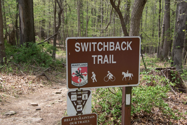
I was looking for somewhere that I could do some hiking and get a feel for the country. I found a destination on the map called Soldiers Delight Natural Environmental Area. It was about a half hour away. On the way there I saw a sign for Patapsco Valley State Park so I stopped there first.
This was a pretty area. It was “mixed use” including developed playground and lawn areas, but I stuck to the trails. I was not dressed for the weather. According to the news it was 90 degrees on this day and we haven’t been that hot at home yet. Too bad I hadn’t brought shorts…although the ticks that I found later made me think that maybe jeans were better anyway.
Dogwood. That’s one flower that I knew.
There were flowers (and a bird*) that I didn’t identify, but I’m not obsessing over that. *ID by a blog reader: Chipping Sparrow / ID by another reader: lower flowers look like Summer Snowflake, Leucojum aestivum, a naturalized species native to Europe. More of the trail.
After leaving that area I drove on to the original destination. No one knows for sure why this place is called Soldiers Delight but the purpose for preserving it is the unique geology and ecosystem. From Wikipedia: “The site is designated both a Maryland Wildland (1,526 acres) and a Natural Environmental Area(1,900 acres) … The site’s protected status is due to the presence of serpentine soil and over 39 rare, threatened, or endangered plant species along with rare insects, rocks and minerals.”“Weathered serpentinite is dissolved rock, transformed into thin, sand and clay poor soil which is easily eroded. This creates a land surface which is stony, unfertile and sparsely vegetated and is the reason that the term “serpentine barren” is used to describe these areas.
Signs explained that “the serpentine grasslands and oak savanna systems are now imperiled due mainly to the lack of American Indian and lightning fires which are critical to this fire-dependent ecosystem…The oak savanna ecosystem is one of the rarest communities in Maryland.” Over 90% of the less than 1000 remaining acres lies within Soldier’s Delight NEA.
The white flower is the endangered Serpentine Chickweed. I think the purple one is a Phlox species.
Blackjack oaks, post oaks, and black oaks are here. Praire warbler.
I hiked the 2-1/2 mile trail around the grassland area and came back up to the main road. I decided to take another trail that went to the chromite mines. Half way through this one I started to think that maybe I should have brought water…and food. I realized how hungry and thirsty I was. It was already about 3:30. Did I say that it was very hot? I started to have visions of having to be rescued. Or not–how would anyone know where I was? I also found a tick on my hand. Then I started to feel like there must be ticks everywhere. Forget those mind games. I was still enjoying the new landscapes. I happened to look up and saw this. Here is a closer view. Along the way I found the Choate mine that operated from 1818 to 1888 and for a brief period during WWI. I had expected something bigger when I read the sign pointing to a pit mine (picture the massive mines I’ve seen in the west). It’s hard to imagine that it was a few holes like this produced the world’s supply of chromium. This is one of the other mines. I did make it back to civilization without mishap (and only one other tick).
I got back to the fairgrounds in time to meet up with friends and go to dinner in Frederick. Stay tuned for the main event!
We have traveled days to see some of our spectacular National Parks and Monuments, but there are some nearby that don’t need as much planning to get to.
Now that Dan is retired he has more lots of flexibility and my schedule is the one that we have to work around. Last Tuesday was open. We wanted to see some of the spring wildflowers before they were gone for this year. We drove to one of the nation’s newest National Monuments. Berryessa Snow Mountain NM was designated in 2015 (and was on DT’s list to cut, but fortunately was spared). This is over 330,000 acres of mostly chaparral and spans a long corridor from Lake Berryessa into the Mendocino National Forest in the mountains west of Willows.
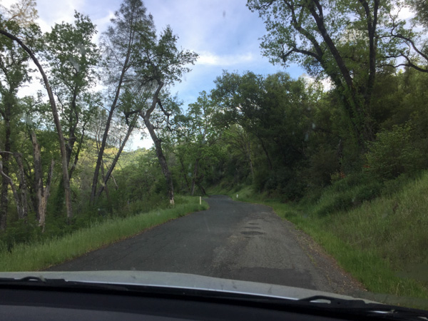
We first planned to drive up Bear Valley just east of the monument, where we’d heard the wildflower show is spectacular, and then find a hiking trail at the northern end. Then Dan suggested we drive north on one of the roads through the monument and come back on Bear Valley Road. So we turned north on an unpaved road, driving toward Indian Valley Reservoir.
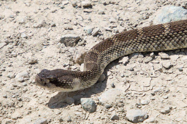
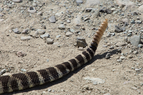
Wildlife!
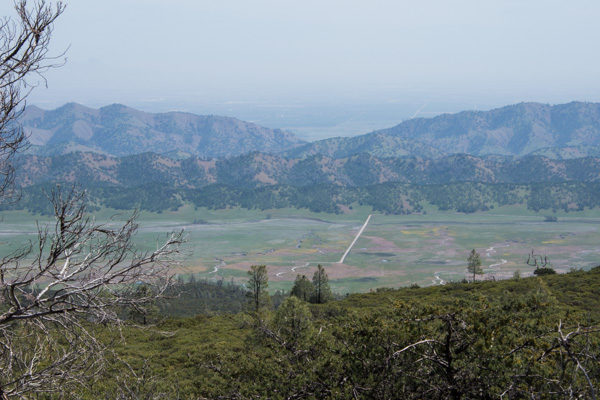
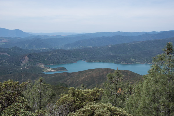
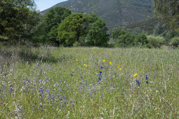
I stayed in the car to photograph this one. After all, he (she?) was conveniently right in the middle of the road. We got several miles in on a ridge line and got out to take in the scenery. The day was sunny, but the haze to the east was typical of summer in the Central Valley. We could just make out the Sutter Buttes in the valley but you can’t see them in this photo. This is looking down on the road that we were going to take that goes through Bear Valley. Most of that color is displays of wildflowers. Looking to the west it was hazy/cloudy. This is Indian Valley Reservoir. The place where we stopped was strikingly green. From the Davis Enterprise: “Serpentine, scientifically called “serpentinite,” is a rock formed by combining water with rock that originally was part of the Earth’s mantle, the layer beneath the Earth’s crust. Soils formed from serpentinite rocks lack certain elements required by most plants.”
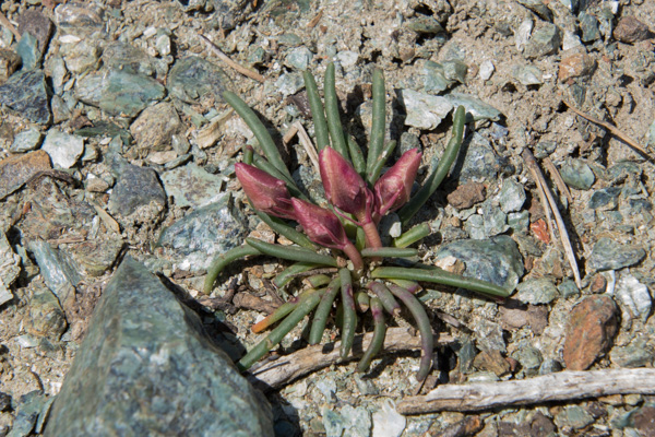
There are a number of plants that grow only in this ecosystem. I haven’t identified this one that hasn’t yet opened its flowers. **Now ID’d by friends as Bitter Root, Lewisa rediviva”.
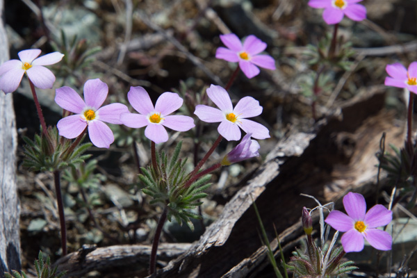
Here is another. **This one just ID’d as True Baby Stars, Leptosiphon bicolor.
We continued to drive, getting out here and there to take in the scenery.
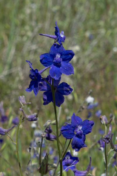
Delphinium.
We did a lot of driving on the rocky somewhat rutted roads. Somehow we missed the road we were looking for to take us to the trails at the north end of the valley. We came to a fork and made the decision to head north. We drove probably a mile on an even more rutted, slower road and then came to a creek crossing with a drop off that I was sure my RAV-4 couldn’t make–at least not without knocking off the bumper. And if we found an even worse spot further up I don’t think we could have come back up that ledge. So we turned around there and took the better maintained gravel road that ended at Clear Lake. We’d left our house around 9:00 and it was around 4:00 by this time. We hadn’t put in that many miles, but lots of hours in the car.
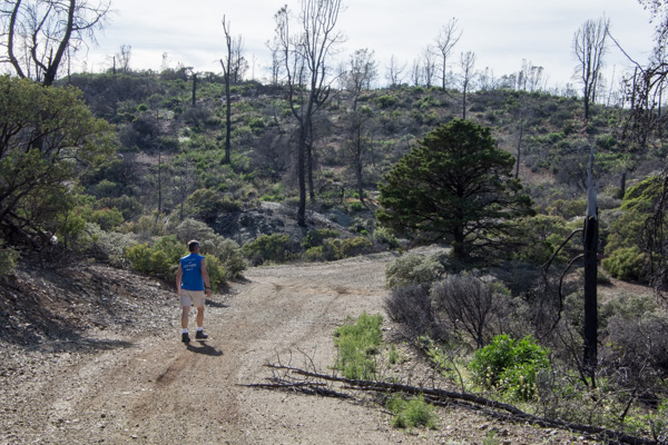
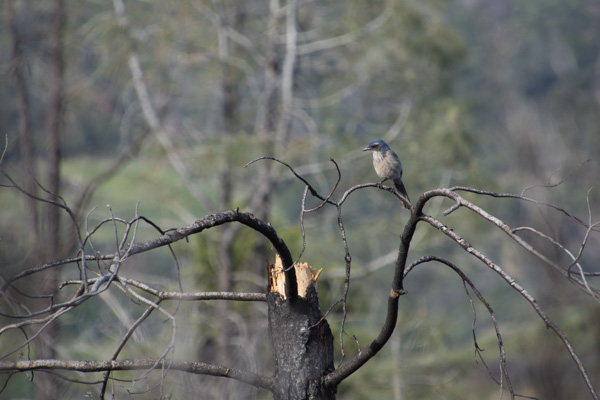
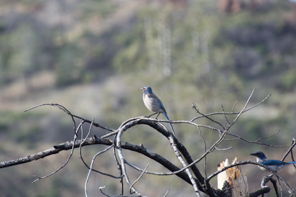
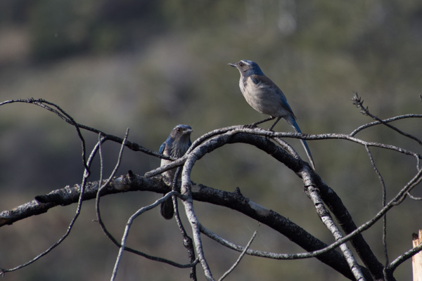
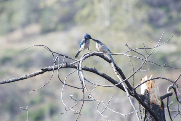
There was one more trail in the direction home. We stopped at the Knoxville Staging Area which we found out is a staging area for ORVs, and walked for about an hour. This area was ravaged by one of the wildfires a couple of years ago. As we walked back towards the car I first heard and then saw this scrub jay.
It seems that he was hungry. It was getting late in the afternoon when we left this area and headed south towards Lake Berryessa. We didn’t get out here and I didn’t take many photos but this was one of the most beautiful places of the day. The road passes the site of the Homestake Mine.
From the Napa Valley Register : “The history books have it all wrong. For Napa County, the Gold Rush wasn’t in 1849. It happened less than 30 years ago in a remote corner of the county ruled by jackrabbits. From 1985 to 2002, Homestake Mining Co. extracted $1 billion worth of gold from the desolate landscape above Lake Berryessa. For a time, the McLaughlin Mine was the biggest producer in California and one of the largest in the world.”
This area is now the Knoxville Wildlife Area owned by the CA Department of Fish and Game. The road follows the creek and the hills are covered with green grass and oak trees. I was in awe of the beauty at this time of year. I still love the hillsides in the summer, but I guess it’s been a long time since I’ve been out in the California hills in the springtime when it is so green.
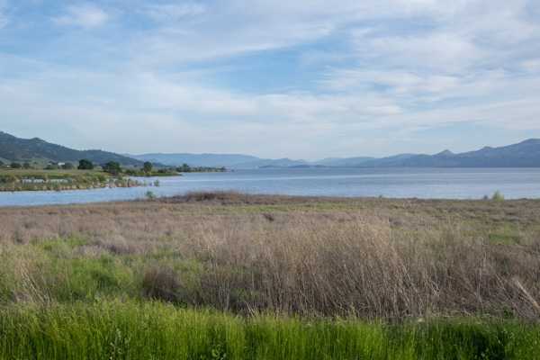
The road took us to the northern end of Lake Berryessa. I’m not a big fan of reservoirs but this time of year with everything so green it looked like a natural lake.
Most of the day was spent driving but what a splendid exposure to a little known region right in my backyard. Next time we’ll hit the Bear Valley Road first and then get to those hiking trails.
We left Big Bend NP (last post) about an hour before dusk without a real plan for where we’d stay that night. There were “campgrounds” outside of the park but those turned out to be RV parking lots. We figured that we would find something in Big Bend Ranch State Park, west of and adjacent to the National Park along the Rio Grande, and get in another day of hiking before Matt and I left the next morning from El Paso.
This is the area where we camped. I got up when I saw the sunrise to explore near the river. We had heard rapids but couldn’t see the river from the campground. After all the signs at the previous day’s stops I did start thinking about mountain lions as I walked along deer trails though those willows and brush to reach the river. So I made plenty of noise, but I also decided to move to higher ground where there was no cover. I was also glad when Matt showed up with the same idea (early morning photography) in mind.
Logs and rocks in the river were enough to create the sound of rapids that we heard from camp.
This is the view back to the camping area. That green speck in the middle is the truck.
We looked at the map to see where we might hike in this park and found Closed Canyon.
This is a canyon that leads to the Rio Grande.
Absolutely stunning! The photos don’t do it justice.
You can walk in about 7/10 of a mile before you can’t go farther.
If you’re a mountain goat you can try to go farther … or if you want to get wet.
Matt went around the bend and came back. The map shows that it is a relatively short way to the river.
You wouldn’t want to walk here in the flash flood season.
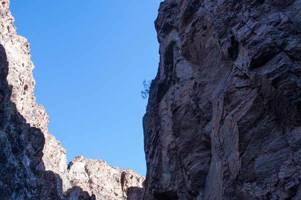
That slot in the shadow is the entrance to this incredible canyon.
On the road again.
The next stop was the HooDoos Trail.
Hoodoos refers to these eroded formations.
Matt showed me how to do photos with my camera that you can later turn into panoramas. This isn’t distorted like the pano shots on the phone.
More spikey things.
We left the park and were on our way to El Paso where we would spend the night and Matt and I would take an early flight home the next morning.
We entered the town of Marfa and Matt found on Trip Advisor that visitors could check out the dome of the city hall.
That was a good excuse to get out of the truck and stretch. This small West Texas town may be worth a second visit someday to investigate it’s art venues and to find out more about the Marfa Lights (google that).
Entering El Paso.
Flying over southern California where the fires were (are) still burning.
Dan and I spent a few nights in Napa last week. It was strange to stay overnight somewhere when we live so close, but the time-share stay was a retirement gift from his co-workers and it was a great opportunity for us to go do some of those things that are “in our own backyard” that we don’t take time to do otherwise.
The weather outlook for Tuesday was dry so we decided to find a place to hike. Many of the state and county parks in the area are closed due to the recent horrific fires. But we found a trail that was unaffected by the Tubbs Fire. We had breakfast in Calistoga and then drove up Hwy. 29 towards Mt. St. Helena.
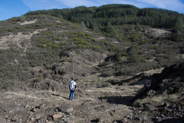
The Robert Louis Stevenson State Park to the north of the highway is closed but the Table Rock trail is south of the highway. The trail starts out in groves of oak, madrone, and bay trees. This area was damp from recent rain and the trees looked as though they were covered with green fur.
A new kind of fir fur tree? Making things larger than life through the lens.
As the trail descended the other side of the first ridge the vegetation seemed more typical of California chaparral. These are the seeds of the California Buckeye. The California buckeye is one of the first deciduous trees to leaf out in the spring, but it also goes dormant and loses it’s leaves in late summer. Although the “nuts” may seem similar to chestnuts, these are toxic.
The trail leads to the western end of a formation called the Palisades, volcanic rock that towers over the northern end of the Napa Valley. That is the town of Calistoga down below. We sat on the rocks known as Table Rock for quite awhile, soaking up the sun and watching birds and the beautiful sky. The fire missed this area, but not Mt. St. Helena in the background and the lower area along the highway. As we sat on the rocks Dan noticed a Cal Fire plane flying around Mt. St. Helena and then saw it drop something–we wonder of that is seed to help stabilize the burned landscape.
























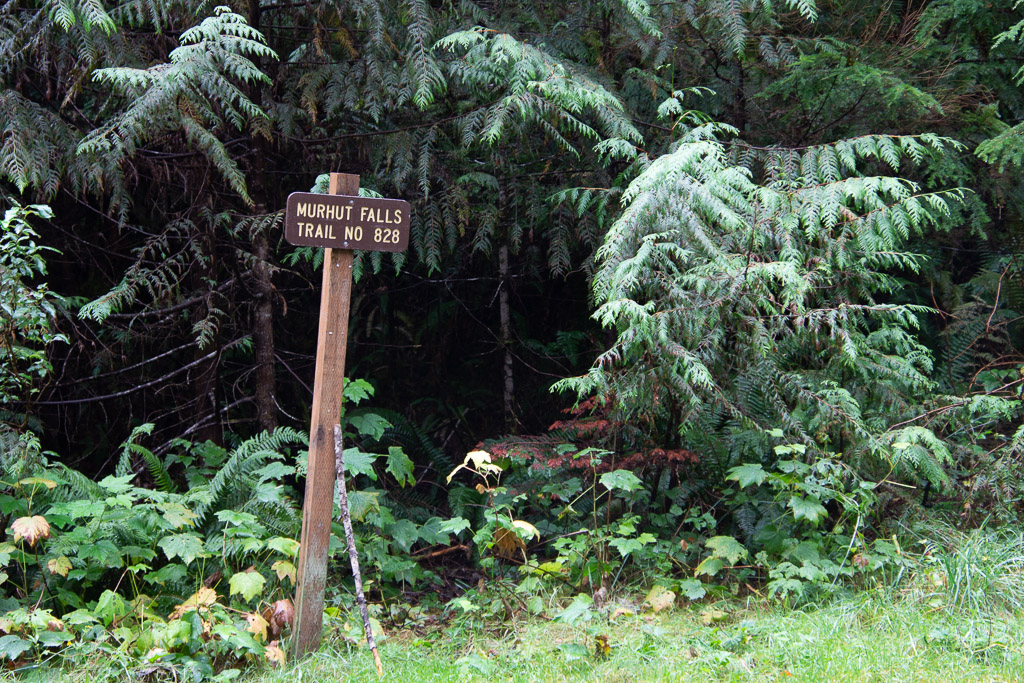 Our first waterfall on the trail, and before getting to the park, was Murhut Falls on the Duckabush River.
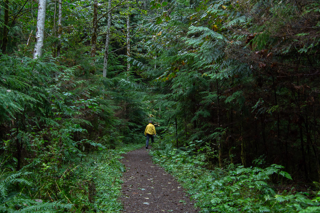 I first wondered about the name of the river. You have to duck under bushes if you don’t have a ready made trail? No, in a side trip to Google I found that it is an Indian word meaning red face, referring to reddish bluffs in the area.
 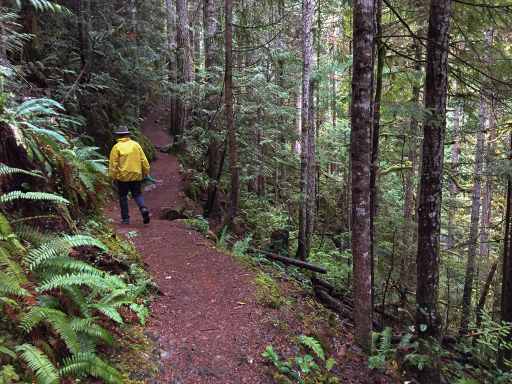 As we found in all our wanderings in this area, the forest is dense, damp, and spectacular.
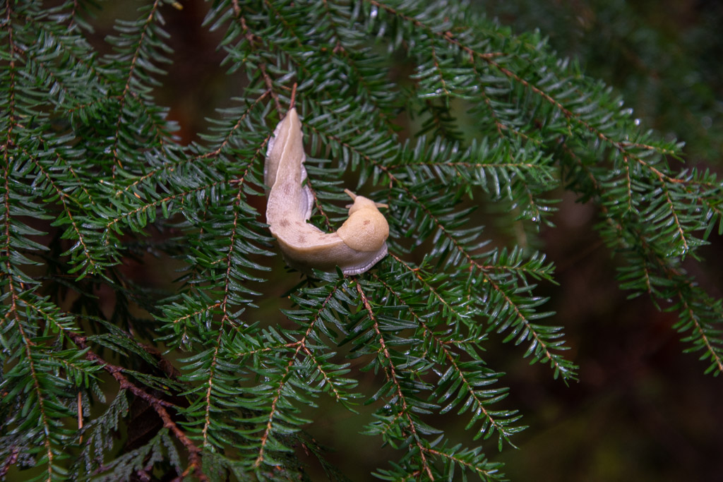 A wildlife shot along the way. So far the only wildlife I was photographing was slow moving.
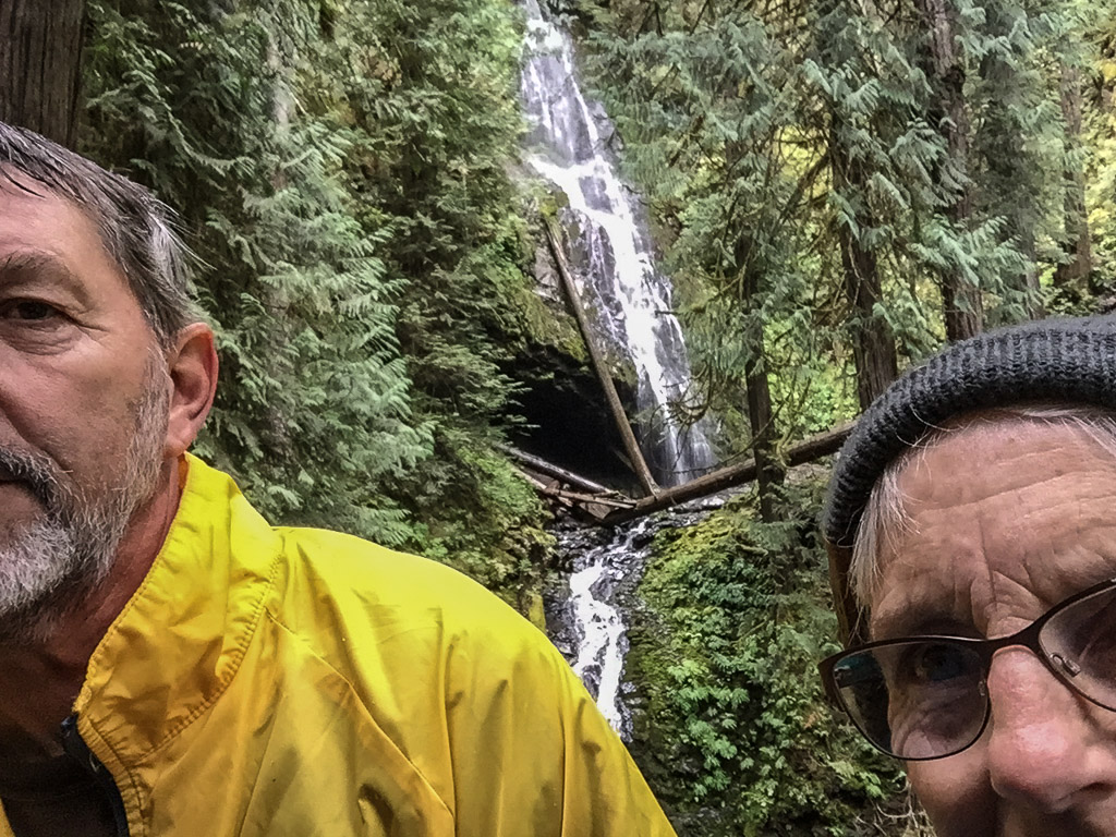 About 3/4 mile up the trail we found the falls.
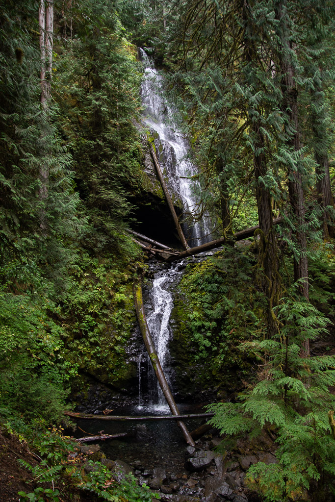 The waterfall trail guide says that this one is 120 feet with another 35 feet below this point. Photos don’t do any of the forest scenery justice.
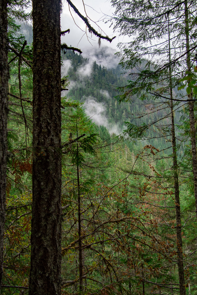 Weather continued to be damp and misty but not much real rain.
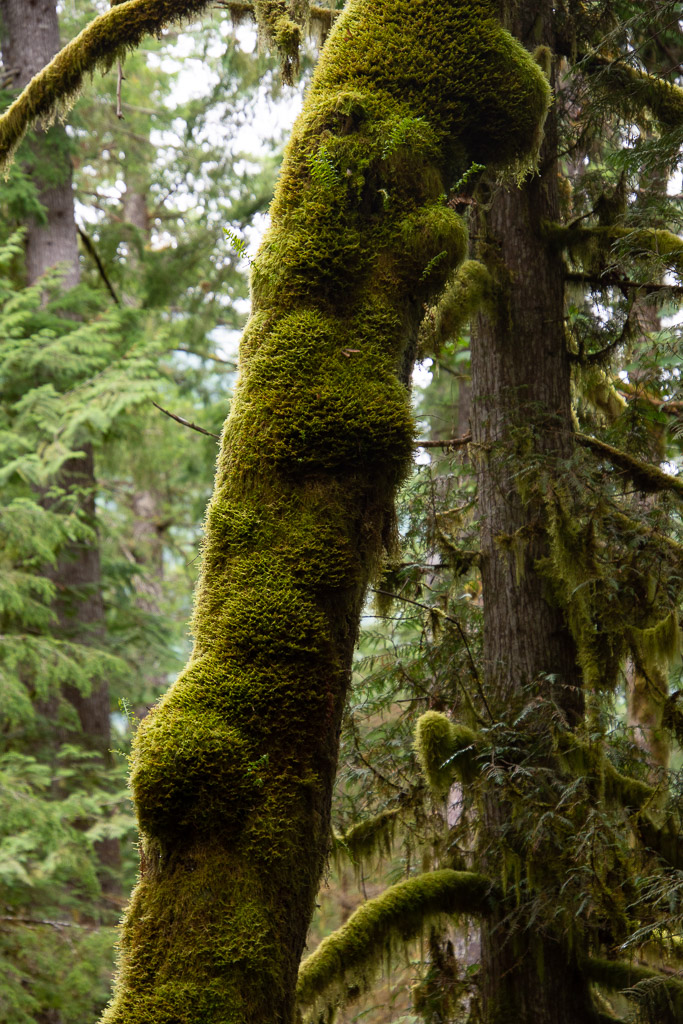 You can certainly tell that this is a wet climate as opposed to most of the places we find ourselves hiking and camping.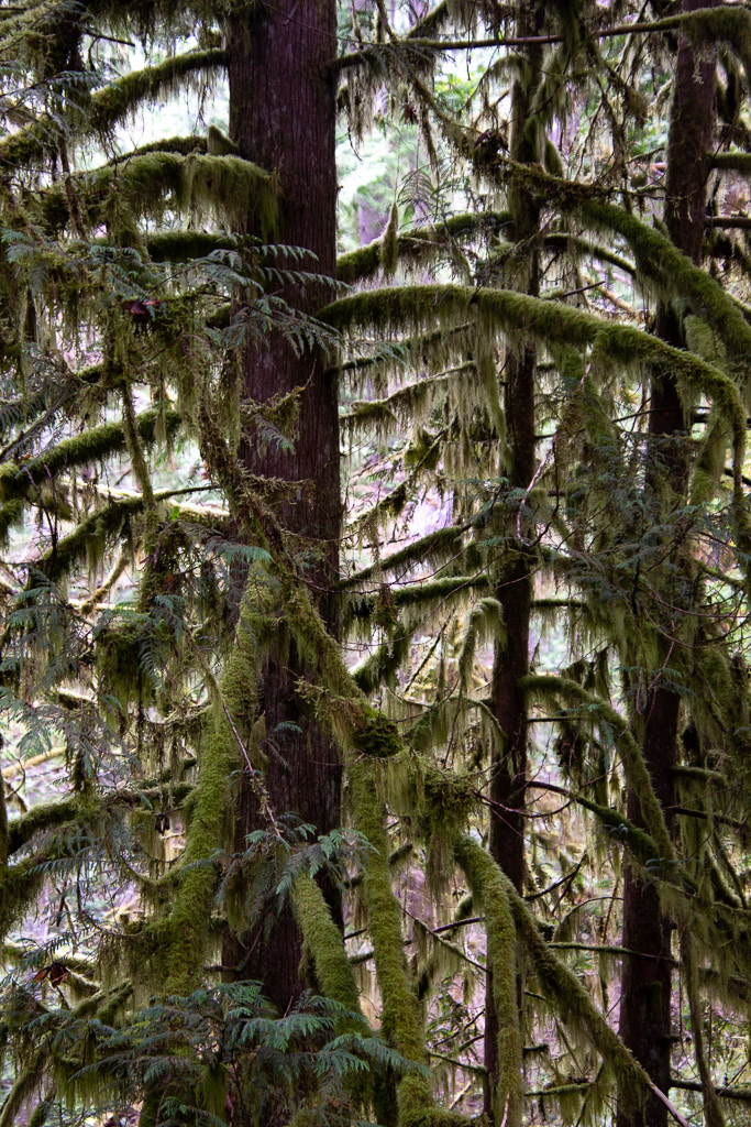
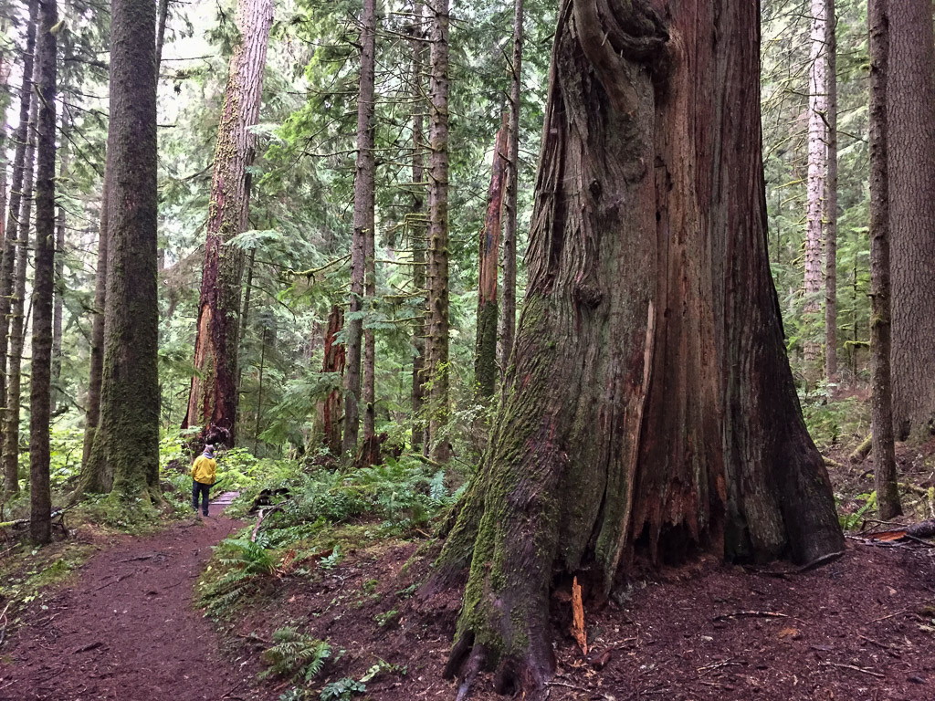 The forest was stunning. The trees were massive.
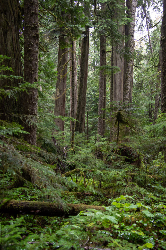 Vegetation is dense.
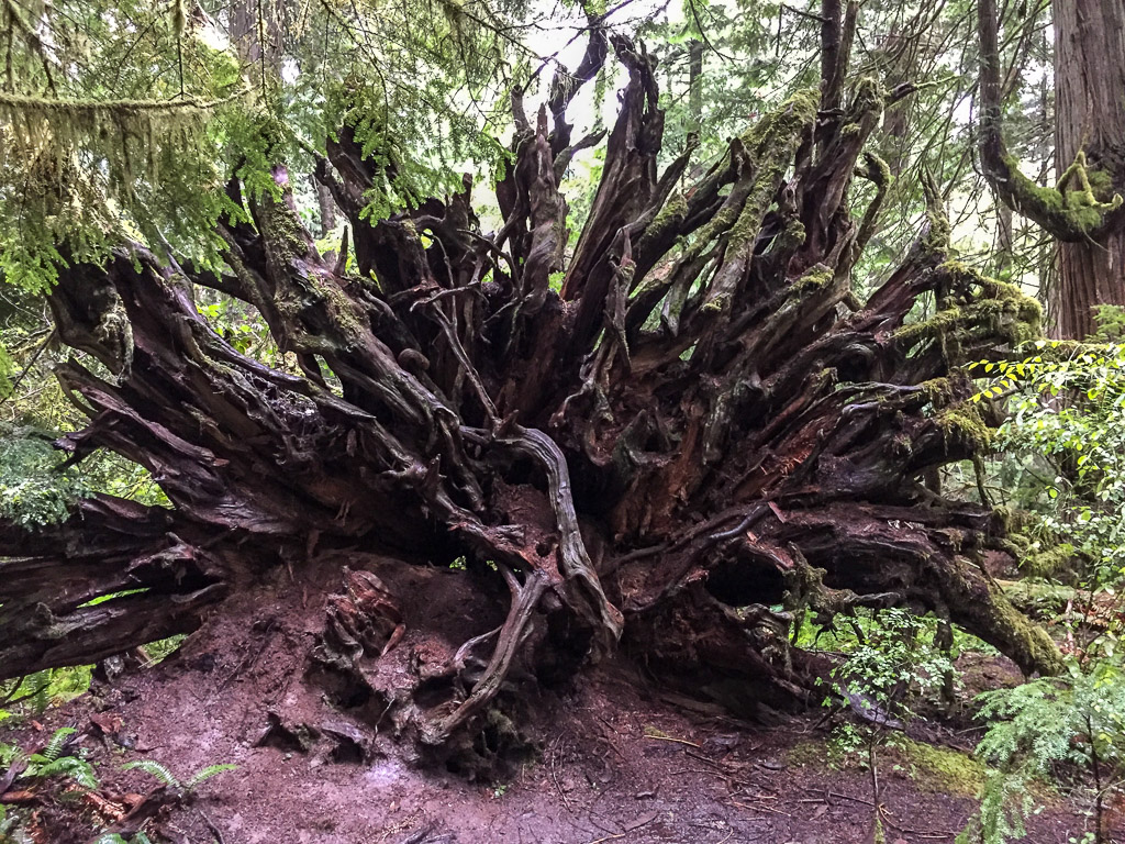 There were lots of trees down throughout this part of the forest, but it doesn’t take long before ferns and herbaceous plants are growing on the downed trees and the forest covers them over.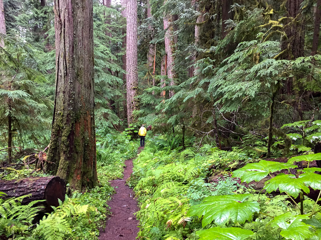
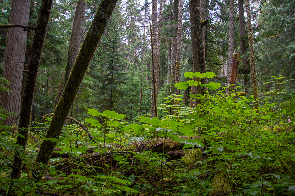
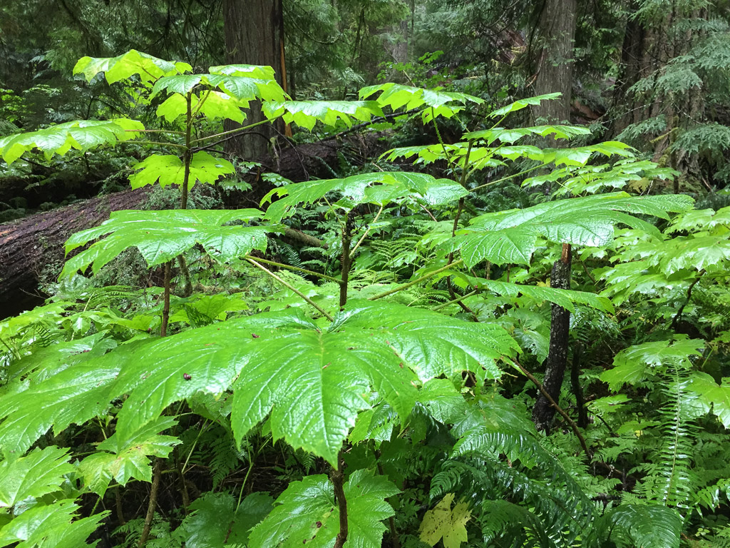 This plant with huge (up to 15″) leaves was everywhere in the understory (see the three photos above). It is called Devils Club (Oplopanax horridus) and is endemic to dense, moist, old-growth forests of the Pacific Northwest. It has a long list of uses by Native Americans from medicinals to face paint and is covered with irritating spines.
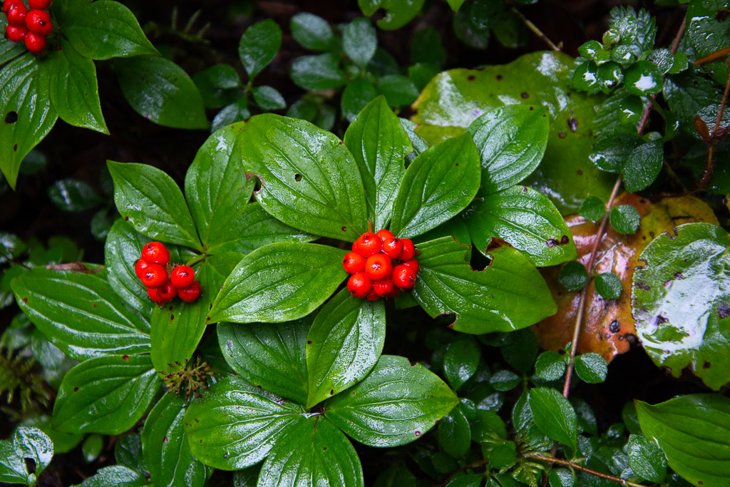 Dwarf Dogwood, Cornus candensis.
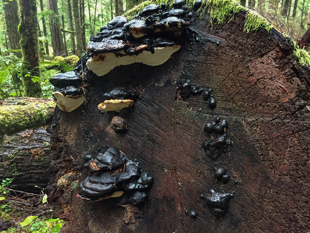 I didn’t even try to identify fungi, but took photos because I like to share these with a friend who dyes with mushrooms.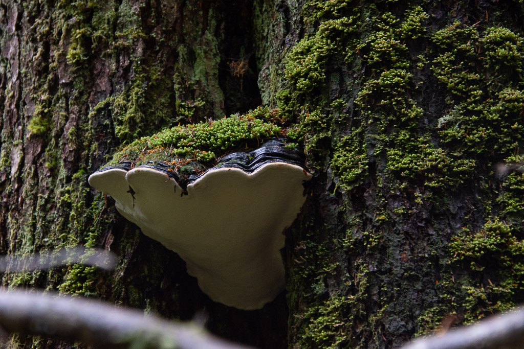
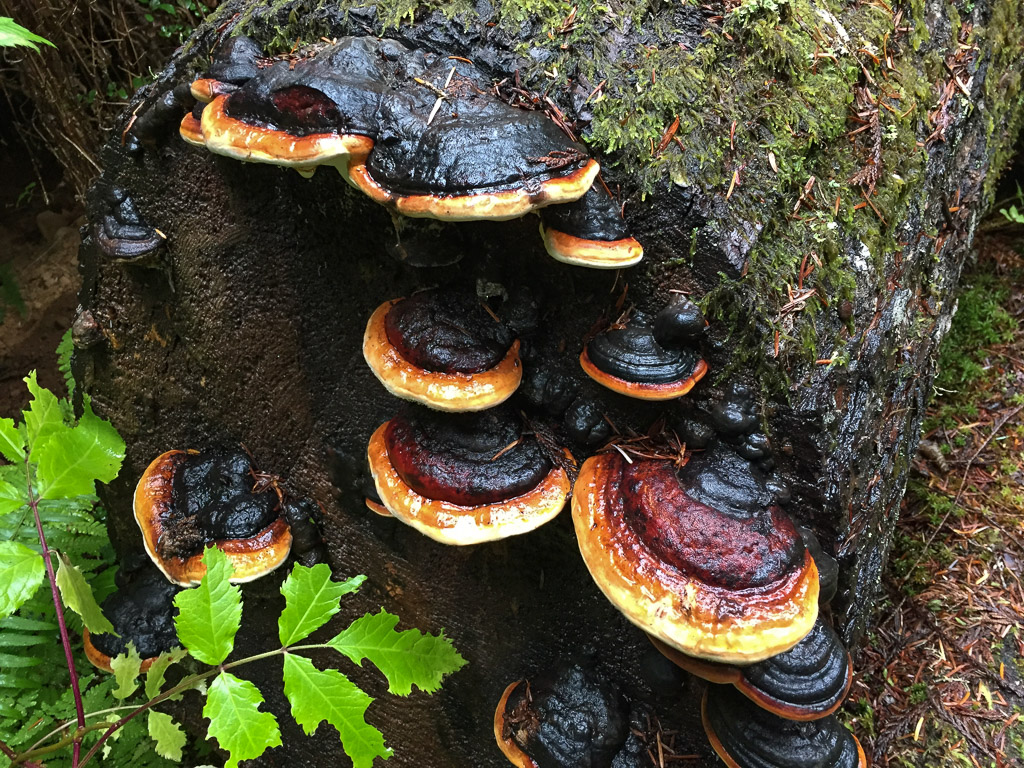
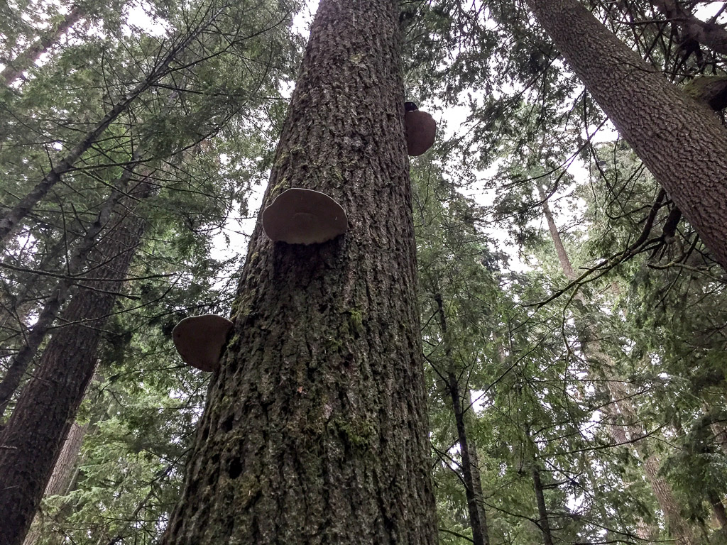
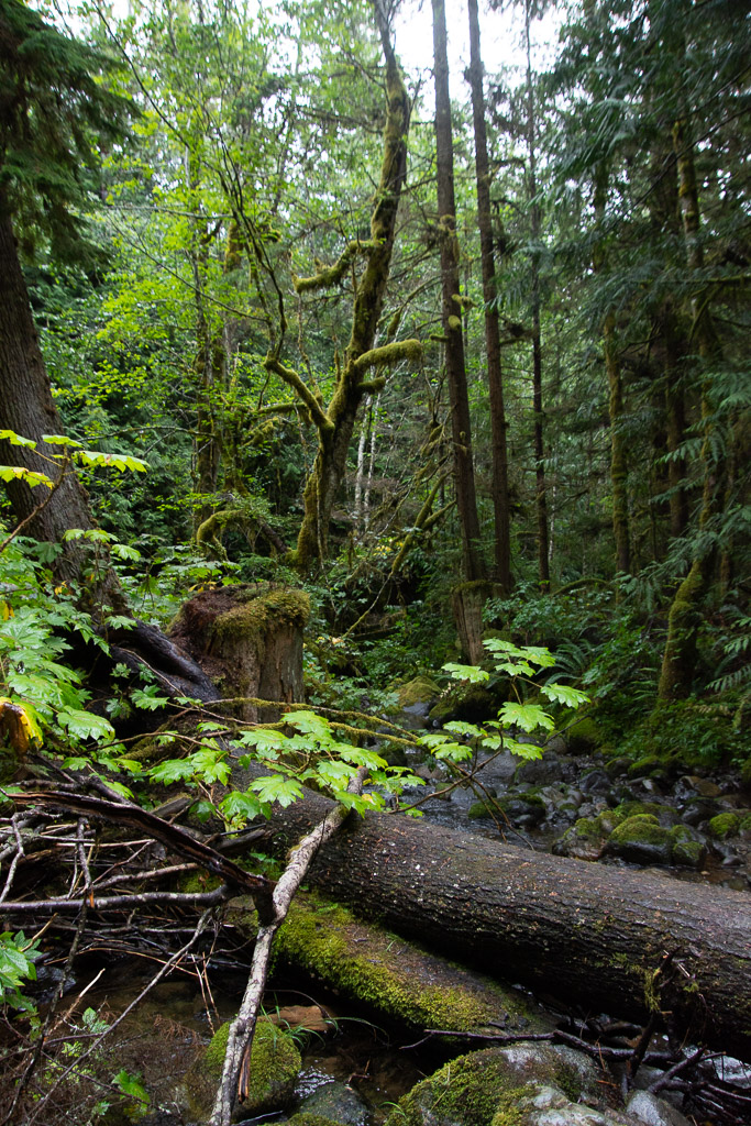 We walked until we reached the creek and were undecided how far the trail continued. But it was getting to be dusk and we decided that we’d better turn back.
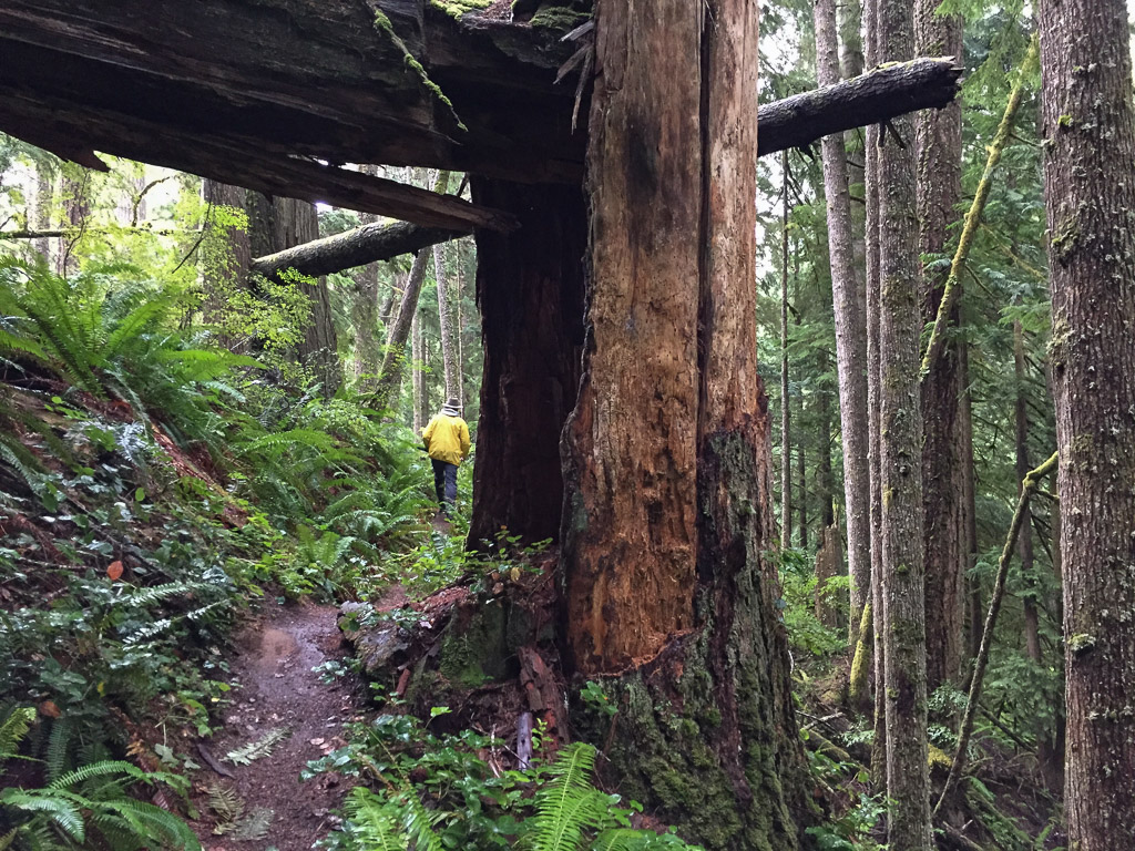 This forest would be pretty dark when the sun was down.
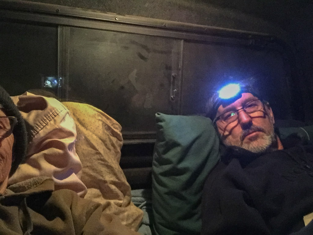 Fortunately it was warm enough with sleeping bag on top of my thick sheepskin. (Maybe it wasn’t that warm, seeing that I’m wearing my wool beanie and a sweatshirt.)
 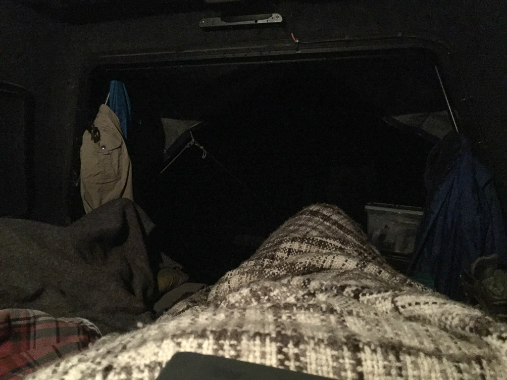 Oh, I have a wool blanket with me too (handspun Jacob by the way). This is the view out from my sleeping bag.
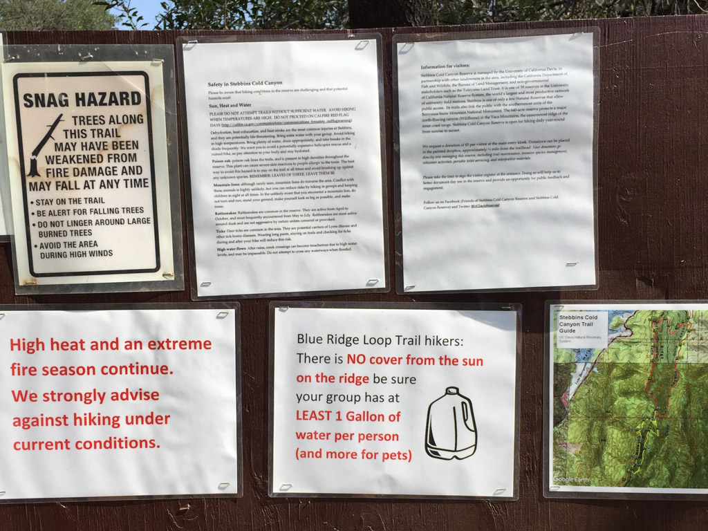 Falling trees, high heat, fires, snakes, poison oak, ticks, mountain lions, high water (that would be a different season). Maybe we should just go back home to the couch.
 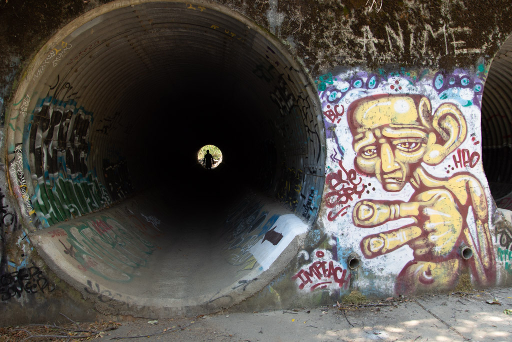 After the 2015 fire the area was rebuilt to accommodate needed parking. Now we park below the Reserve instead of on the side of the road and walk under the road through these huge culverts. This is also where storm water will go in the winter. What’s with the graffiti? I am not a fan.
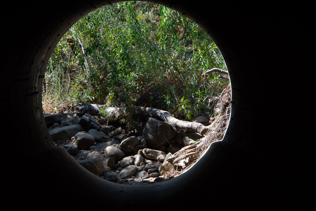 Leaving the culvert.
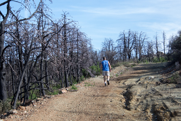
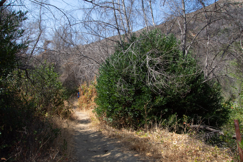 We headed out on the Blue Ridge trail, a five mile round trip. This is three years after the fire. That bush on the right is a CA Bay Laurel growing from the base of the burned tree (it can take on the form of a bush or tree).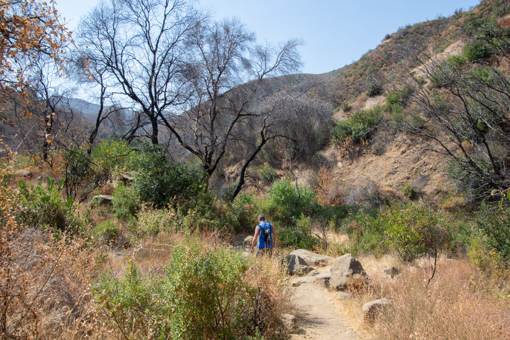
 Our first hazard, poison oak.
 Maybe the next time I go hiking here I’ll count the steps. The trail starts in the canyon and eventually you have to get to the top of the ridge. There may be a million stairs–at least it seems that way when you are half way up.
  Taking scenic photos is a good excuse to stop. This is a panorama looking southeast.
 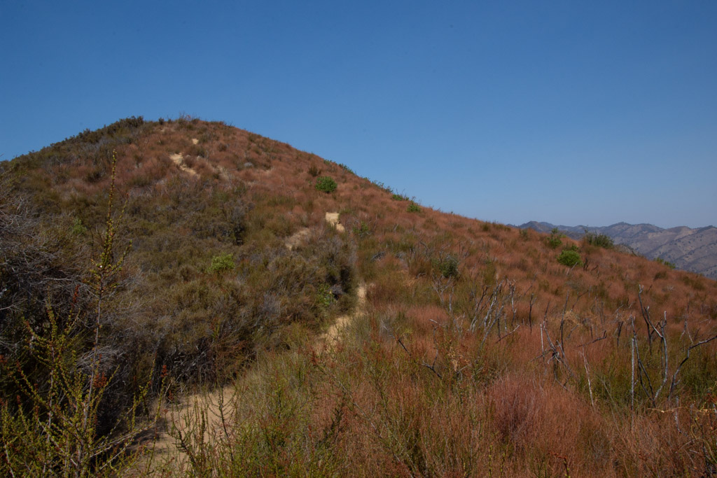 Our trail continued to the ridgeline. This is the bluest sky that I’ve seen since the fires started in June. We’re up above the smoke and haze here.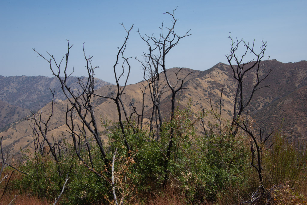
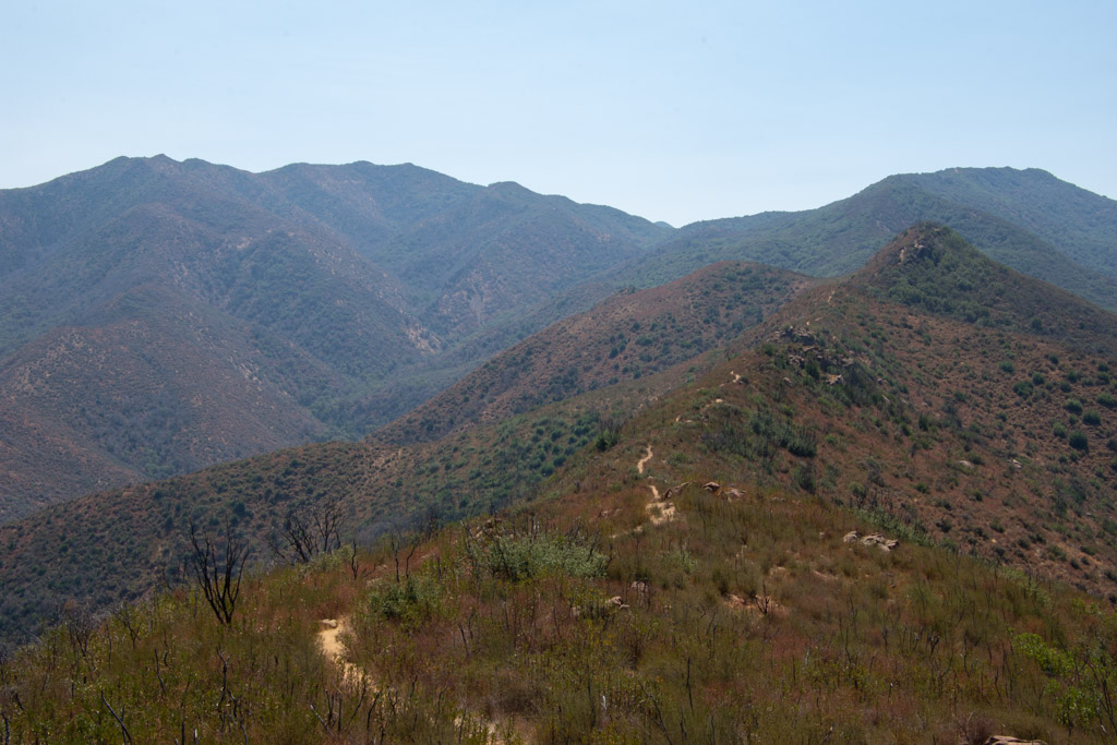
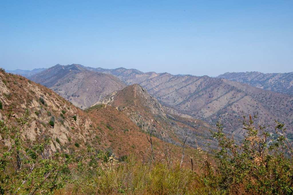 View to the east. That little line on the ridge is our trail.

 From the top you can look down to Lake Berryessa. Except for the foreground most of the land was burned this summer.
 More of the trail. Keep walking.
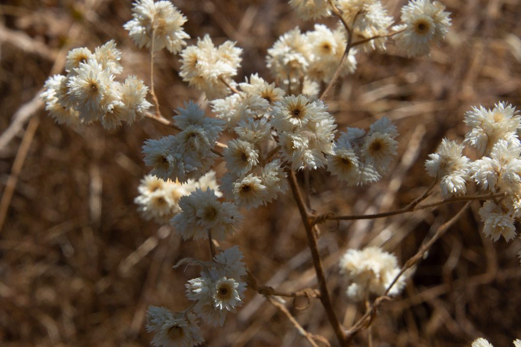 California Cudweed.
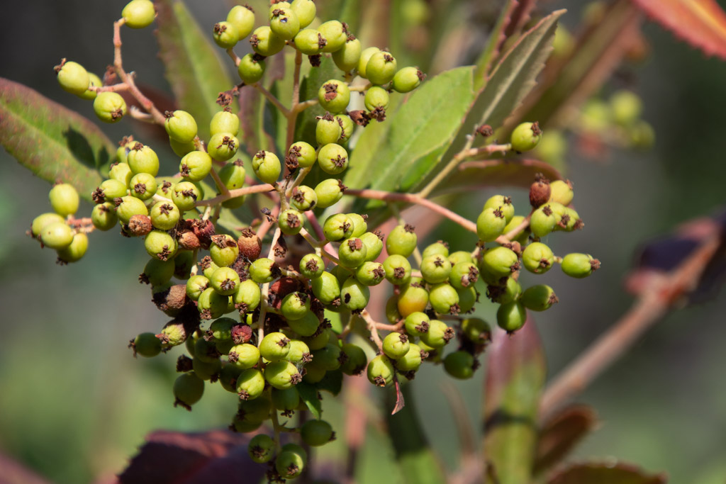 Toyon berries.
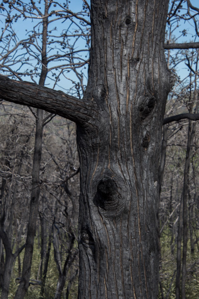
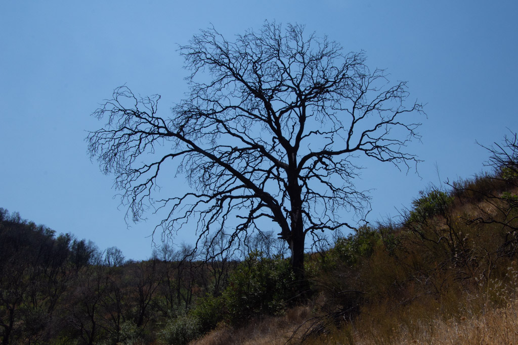 Burned oak.
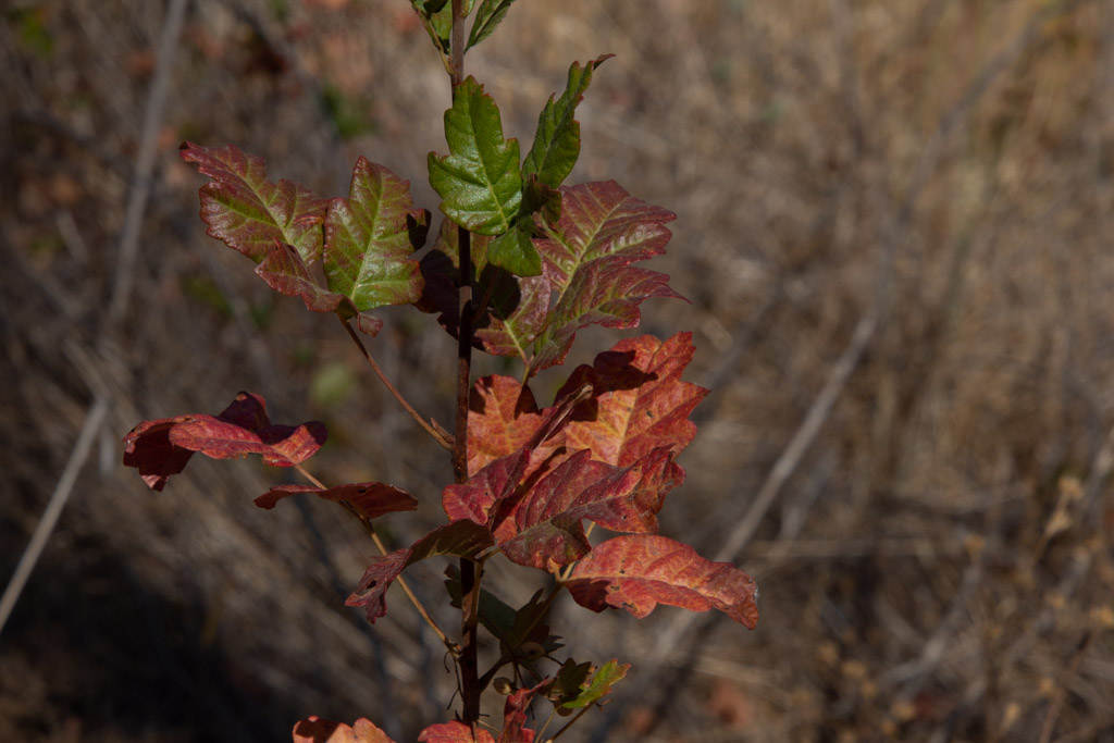 Fall colors (more poison oak).
 I got them situated near the other Jacob sheep and hung my newly made sign (that includes my location). I delivered my entries in the fiber and photo contests (a whole suitcase full–it’s a good thing that Southwest allows two free bags). Then I went exploring.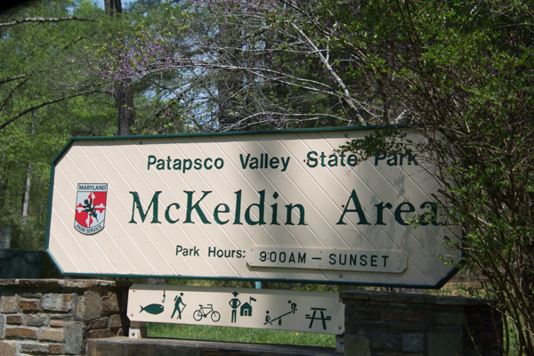
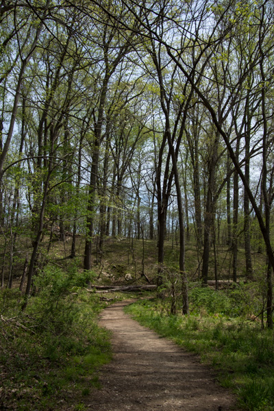 This was a pretty area. It was “mixed use” including developed playground and lawn areas, but I stuck to the trails. I was not dressed for the weather. According to the news it was 90 degrees on this day and we haven’t been that hot at home yet. Too bad I hadn’t brought shorts…although the ticks that I found later made me think that maybe jeans were better anyway.
 Dogwood. That’s one flower that I knew.


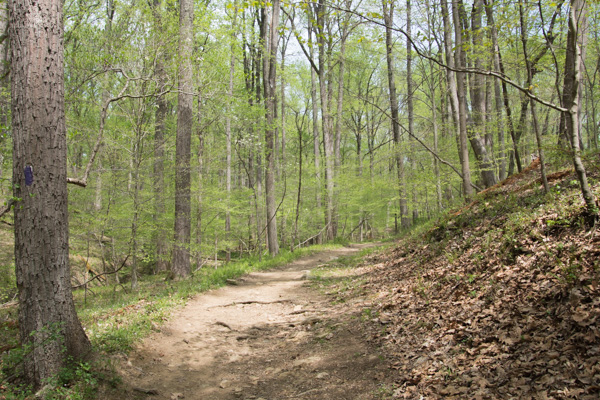 More of the trail.
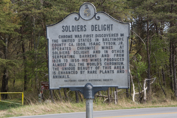 No one knows for sure why this place is called Soldiers Delight but the purpose for preserving it is the unique geology and ecosystem.
  From Wikipedia: “The site is designated both a Maryland Wildland (1,526 acres) and a Natural Environmental Area(1,900 acres) … The site’s protected status is due to the presence of serpentine soil and over 39 rare, threatened, or endangered plant species along with rare insects, rocks and minerals.”
 “Weathered serpentinite is dissolved rock, transformed into thin, sand and clay poor soil which is easily eroded. This creates a land surface which is stony, unfertile and sparsely vegetated and is the reason that the term “serpentine barren” is used to describe these areas.
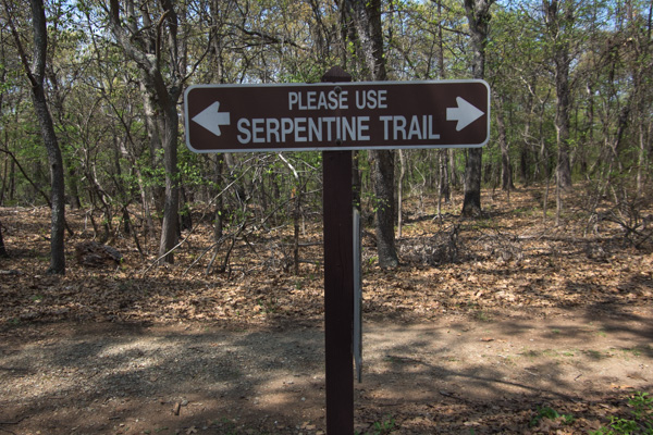
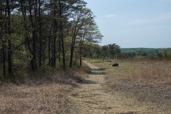 Signs explained that “the serpentine grasslands and oak savanna systems are now imperiled due mainly to the lack of American Indian and lightning fires which are critical to this fire-dependent ecosystem…The oak savanna ecosystem is one of the rarest communities in Maryland.” Over 90% of the less than 1000 remaining acres lies within Soldier’s Delight NEA.


 Praire warbler.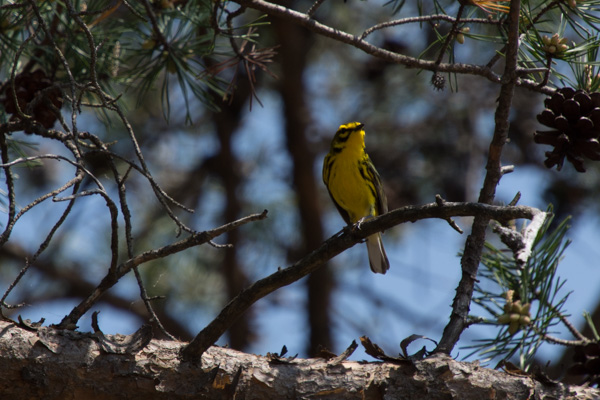
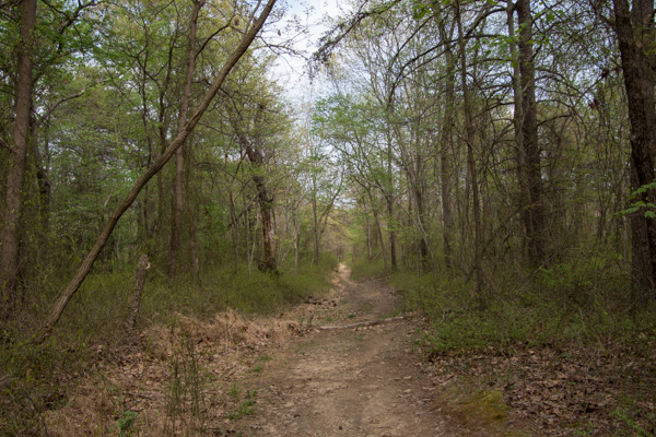 I hiked the 2-1/2 mile trail around the grassland area and came back up to the main road. I decided to take another trail that went to the chromite mines. Half way through this one I started to think that maybe I should have brought water…and food. I realized how hungry and thirsty I was. It was already about 3:30. Did I say that it was very hot? I started to have visions of having to be rescued. Or not–how would anyone know where I was? I also found a tick on my hand. Then I started to feel like there must be ticks everywhere. Forget those mind games. I was still enjoying the new landscapes.
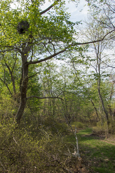 I happened to look up and saw this.
 Here is a closer view.
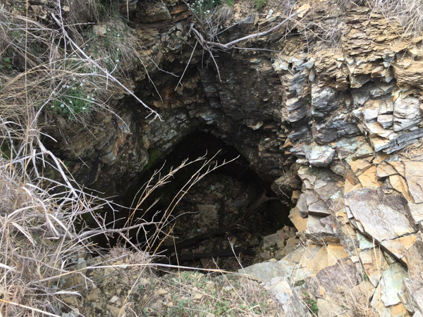 Along the way I found the Choate mine that operated from 1818 to 1888 and for a brief period during WWI. I had expected something bigger when I read the sign pointing to a pit mine (picture the massive mines I’ve seen in the west). It’s hard to imagine that it was a few holes like this produced the world’s supply of chromium.
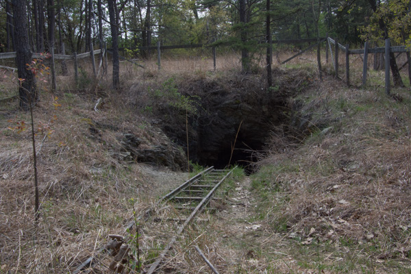 This is one of the other mines. I did make it back to civilization without mishap (and only one other tick).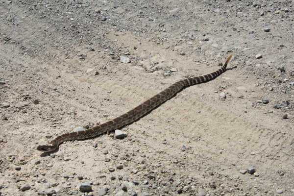
 This is the area where we camped. I got up when I saw the sunrise to explore near the river. We had heard rapids but couldn’t see the river from the campground.
  After all the signs at the previous day’s stops I did start thinking about mountain lions as I walked along deer trails though those willows and brush to reach the river. So I made plenty of noise, but I also decided to move to higher ground where there was no cover.
 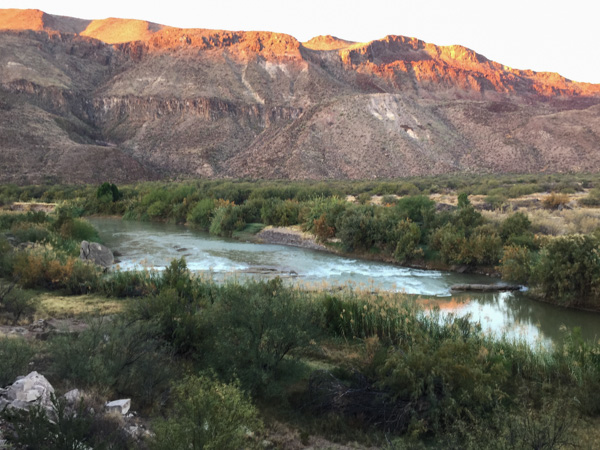 I was also glad when Matt showed up with the same idea (early morning photography) in mind.
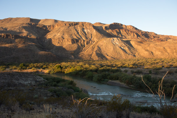 Logs and rocks in the river were enough to create the sound of rapids that we heard from camp.
 This is the view back to the camping area. That green speck in the middle is the truck.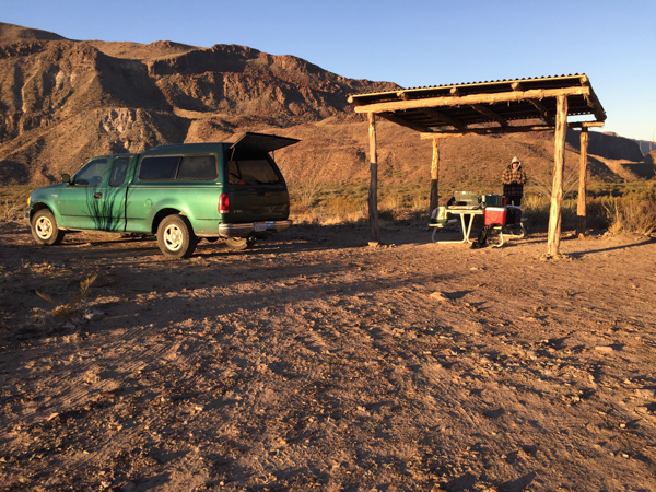

 We looked at the map to see where we might hike in this park and found Closed Canyon.
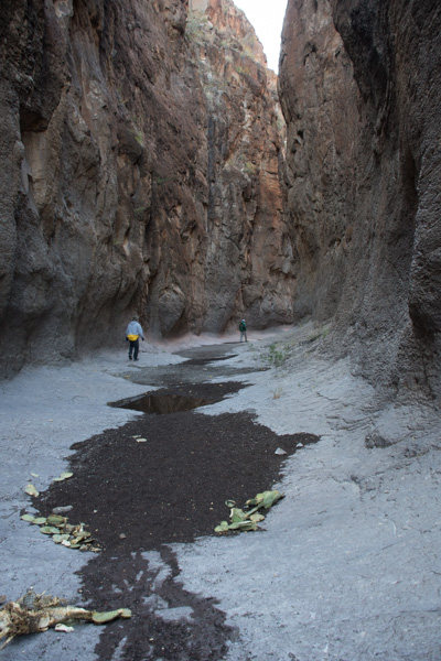 This is a canyon that leads to the Rio Grande.
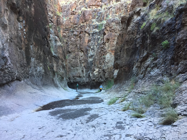 Absolutely stunning! The photos don’t do it justice.
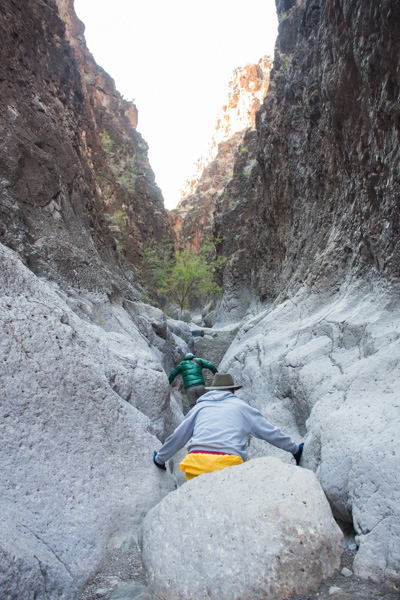 You can walk in about 7/10 of a mile before you can’t go farther.
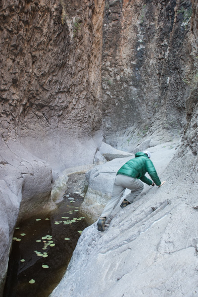 If you’re a mountain goat you can try to go farther … or if you want to get wet.
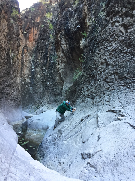 Matt went around the bend and came back. The map shows that it is a relatively short way to the river.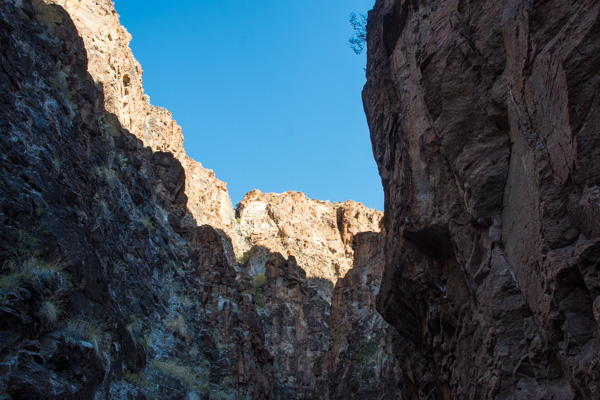
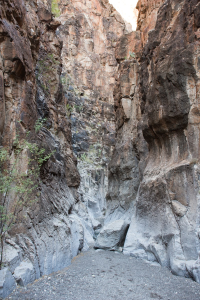 You wouldn’t want to walk here in the flash flood season.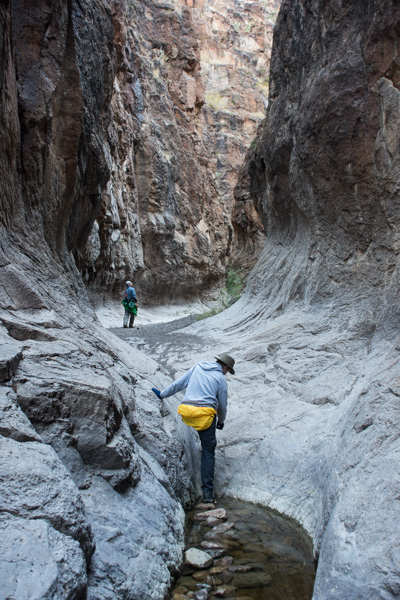
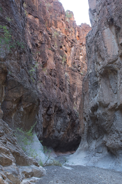
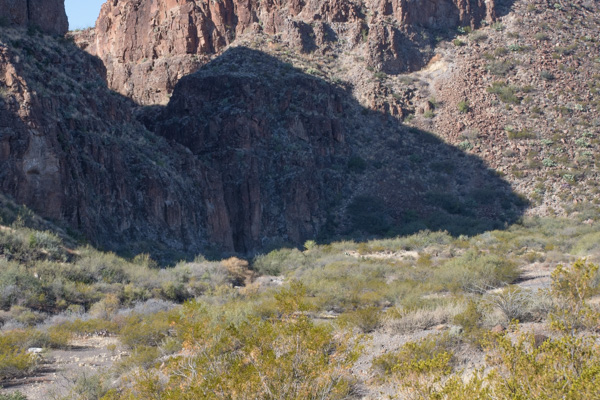 That slot in the shadow is the entrance to this incredible canyon.
 On the road again.
 The next stop was the HooDoos Trail.
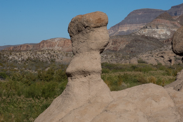 Hoodoos refers to these eroded formations.
 Matt showed me how to do photos with my camera that you can later turn into panoramas. This isn’t distorted like the pano shots on the phone.
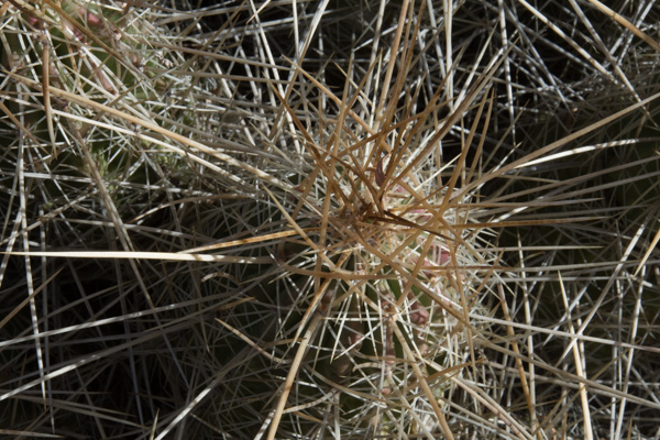 More spikey things.
 We left the park and were on our way to El Paso where we would spend the night and Matt and I would take an early flight home the next morning.
 We entered the town of Marfa and Matt found on Trip Advisor that visitors could check out the dome of the city hall.
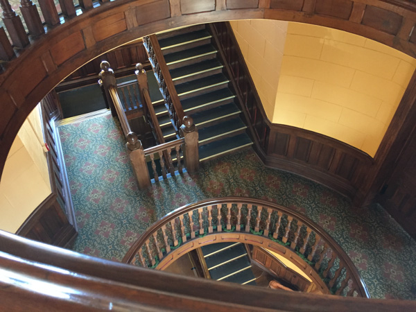 That was a good excuse to get out of the truck and stretch. This small West Texas town may be worth a second visit someday to investigate it’s art venues and to find out more about the Marfa Lights (google that).
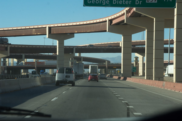 Entering El Paso.
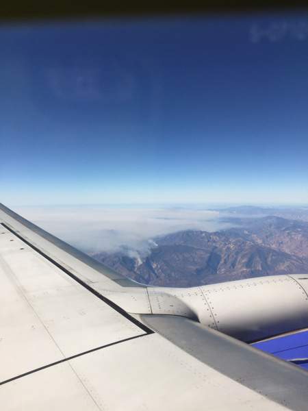 Flying over southern California where the fires were (are) still burning.
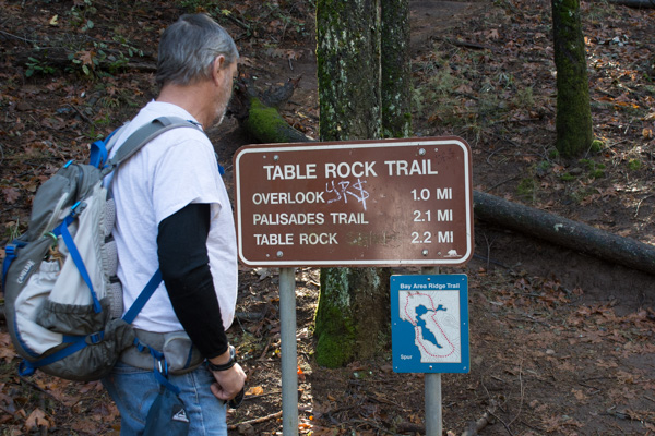 The Robert Louis Stevenson State Park to the north of the highway is closed but the Table Rock trail is south of the highway.
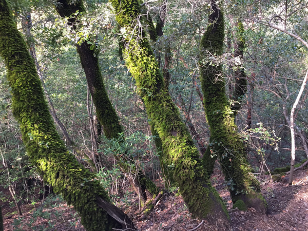 The trail starts out in groves of oak, madrone, and bay trees. This area was damp from recent rain and the trees looked as though they were covered with green fur.
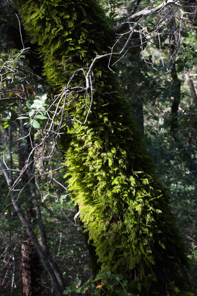 A new kind of
 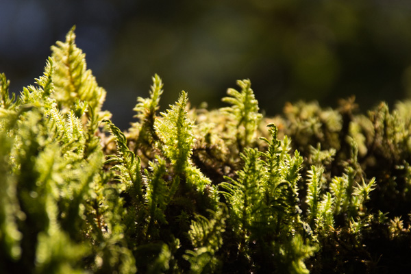 Making things larger than life through the lens.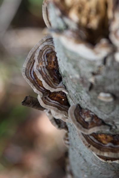
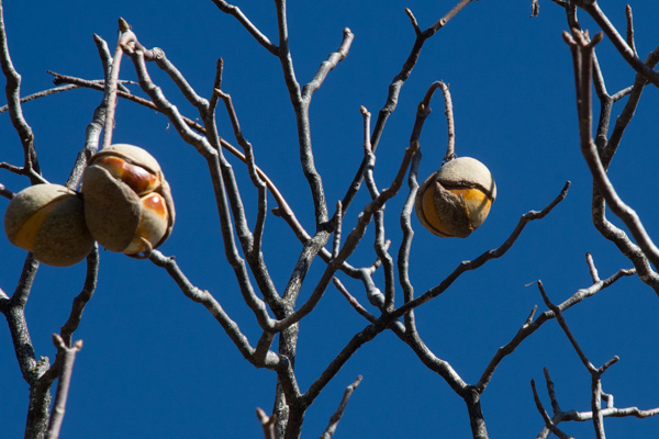 As the trail descended the other side of the first ridge the vegetation seemed more typical of California chaparral. These are the seeds of the California Buckeye.
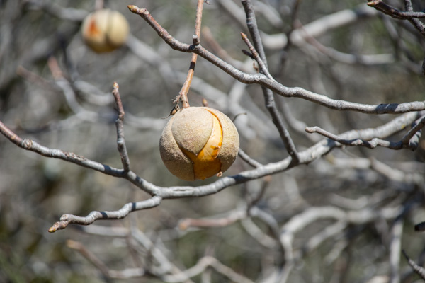 The California buckeye is one of the first deciduous trees to leaf out in the spring, but it also goes dormant and loses it’s leaves in late summer. Although the “nuts” may seem similar to chestnuts, these are toxic.
 The trail leads to the western end of a formation called the Palisades, volcanic rock that towers over the northern end of the Napa Valley.
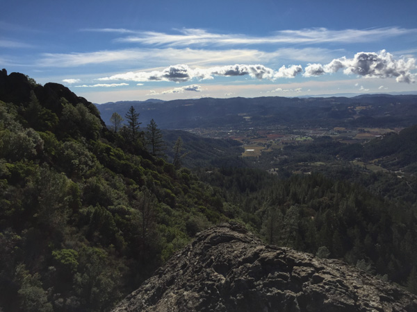 That is the town of Calistoga down below.
 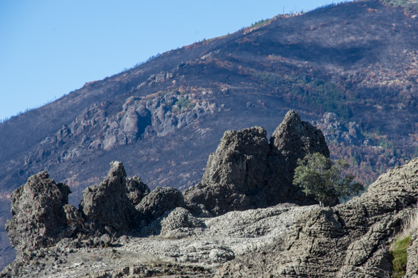 We sat on the rocks known as Table Rock for quite awhile, soaking up the sun and watching birds and the beautiful sky. The fire missed this area, but not Mt. St. Helena in the background and the lower area along the highway.
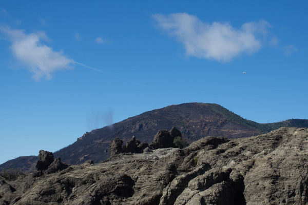 As we sat on the rocks Dan noticed a Cal Fire plane flying around Mt. St. Helena and then saw it drop something–we wonder of that is seed to help stabilize the burned landscape.