On Wednesday I flew to Michigan for the JSBA AGM. What? Jacob Sheep Breeders Annual General Meeting. It made sense to fly that far for a few reasons beyond getting to visit with other Jacob breeders whom I’ve met over the years. Dan’s sister lives in Kalamazoo, between the airport and the location of the meeting. She offered to pick me up at the airport and deliver me to the meeting. I could visit with her for a couple of days and not need to rent a car. In addition, because I use a Southwest credit card, the trip cost me only $11.20. Win!
Close to landing in Grand Rapids.
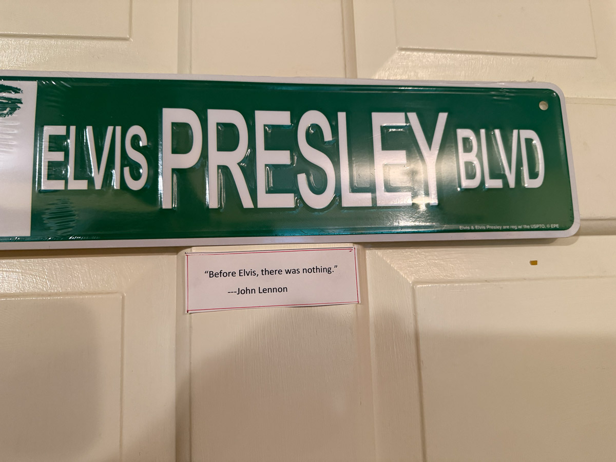
For years I’ve heard of the Elvis Museum created in the basement by my brother-in-law.
I finally got to see it.
I wish I could share the video that shows this in its full glory along with music. We spent the first evening watching footage of some of the Ed Sullivan shows that featured Elvis, and Michael filled in many details of Elvis’ life and impact on the music to come.
Michael has included quotes sprinkled in among the photos and other memorabilia.
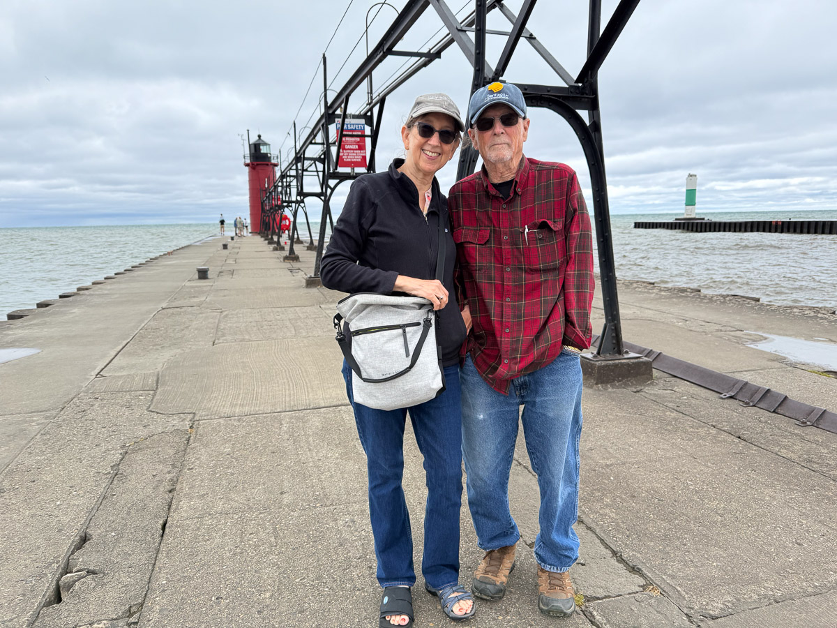
On Thursday we drove to Lake Michigan. I had looked at weather apps that showed 80’s to 90’s with high humidity. Not this Thursday at the lake! North wind and cold. Red flags on the north side of these piers signaled that people should stay away from the shore. Yellow flags on the south side indicated caution. This is Molly and Michael on the pier with the lighthouse in the background.
Molly and me on the pier. We didn’t walk all the way to the end because waves were splashing over the pier and we were COLD.
The town of South Haven is tourist focused, at least near the lake. Cold as it was, a stop at the ice cream parlor was called for. Molly had told me that the four seasons in Michigan are Fall, Winter, Spring, and RoadWork. So I got a kick out of this ice cream label. The ice cream was excellent. That was only the beginning of great food all weekend!
I left off in the last post with Chris starting the marathon, the third part of the Ironman that was two weeks ago.
This photo is about a half hour into the marathon.
This is a screenshot from my phone very nearly at the end of the whole thing, but I’m including it here to show the course and to show how spectators are able to track their athletes through the day on this app. The blue line in the river (which is truly more of a lake here because of a dam) is the swim course. The green line is the bike course and the red one is the run. It was complicated. The runners first went out and back on the red line that goes to the top of the photo. Then they cross the river and make the loop where it says 129, go down to the bridge at the bottom, run along the river, do that out and back part again and do this whole course three times. On the last one they turn where it says 123 and run to the finish. As spectators we try to position ourselves in strategic places to cheer them on.
This view shows the transition area where all the bikes are and where the athletes had lined up along the river before the start of the swim
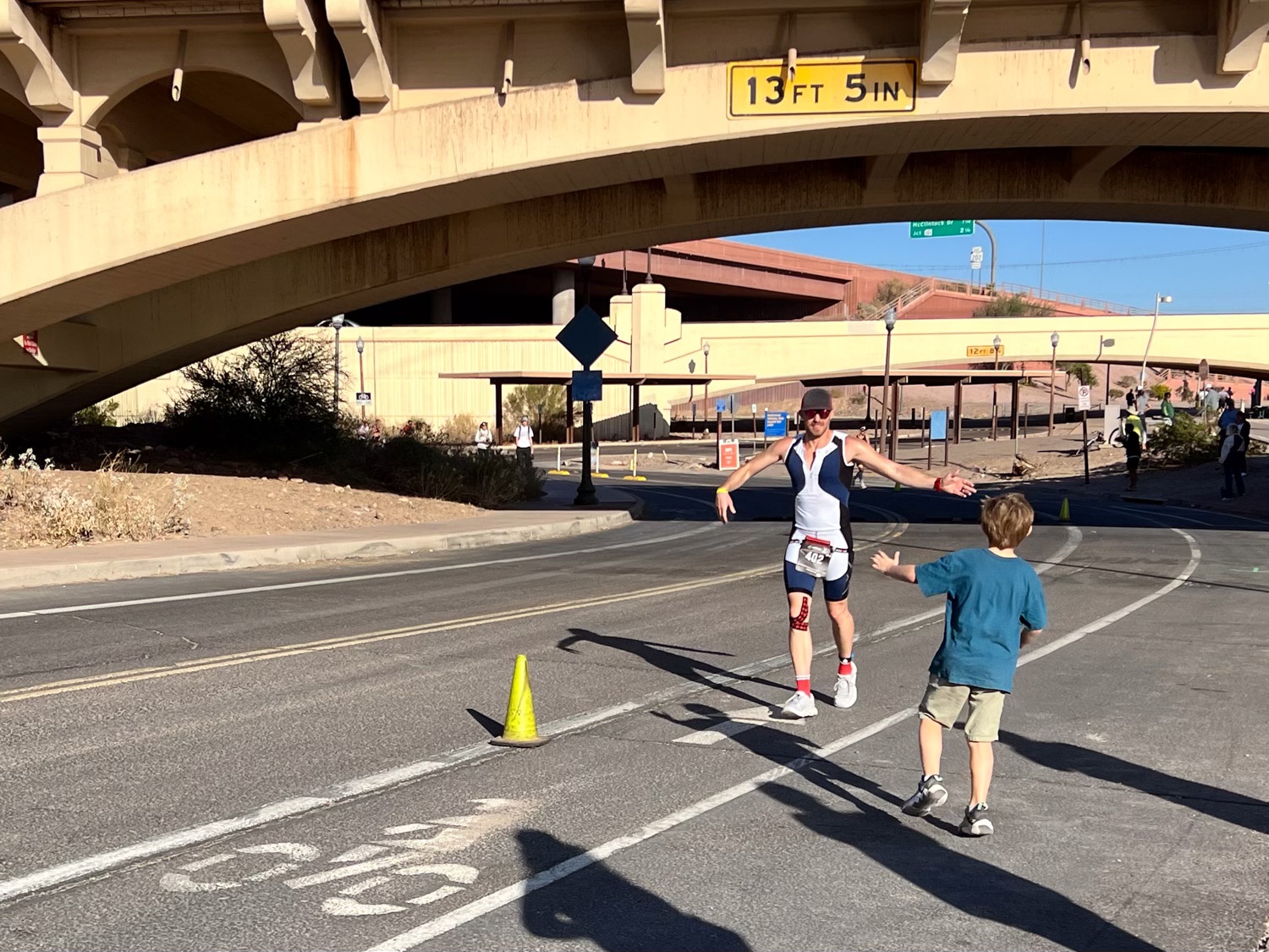
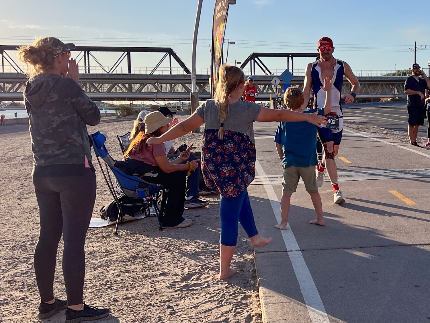
Meryl and Katie and the kids and I walked across a bridge to position ourselves where we’d see Chris twice as he went around the loop on this side of the river. Kasen made sure he got a High 5 in when he could.
This was the best place to be with the Kasen and Kirby because there was a sandy beach for entertainment. It’s a long day for everyone, but especially for the kids.
More High 5’s for Uncle Chris from the kids. This is about two hours into the marathon.
At this point I walked back over to the other side of the river where Dan had been greeting Chris as he ran by. Meryl, Katie, and the kids stayed here until closer to the time Chris would finish.
The view back across the river. That arched bridge is the one I had just walked across and the kids were on the beach below there.
This is at about 3-1/2 hours.
The marathon finish.
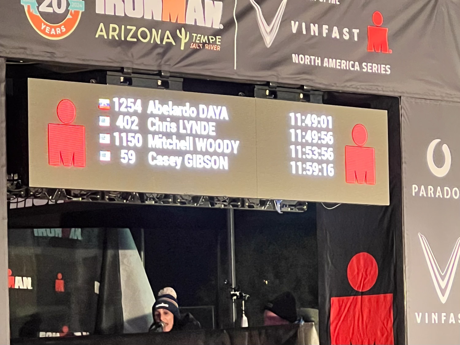
Total time for the whole event: 11:49:56.
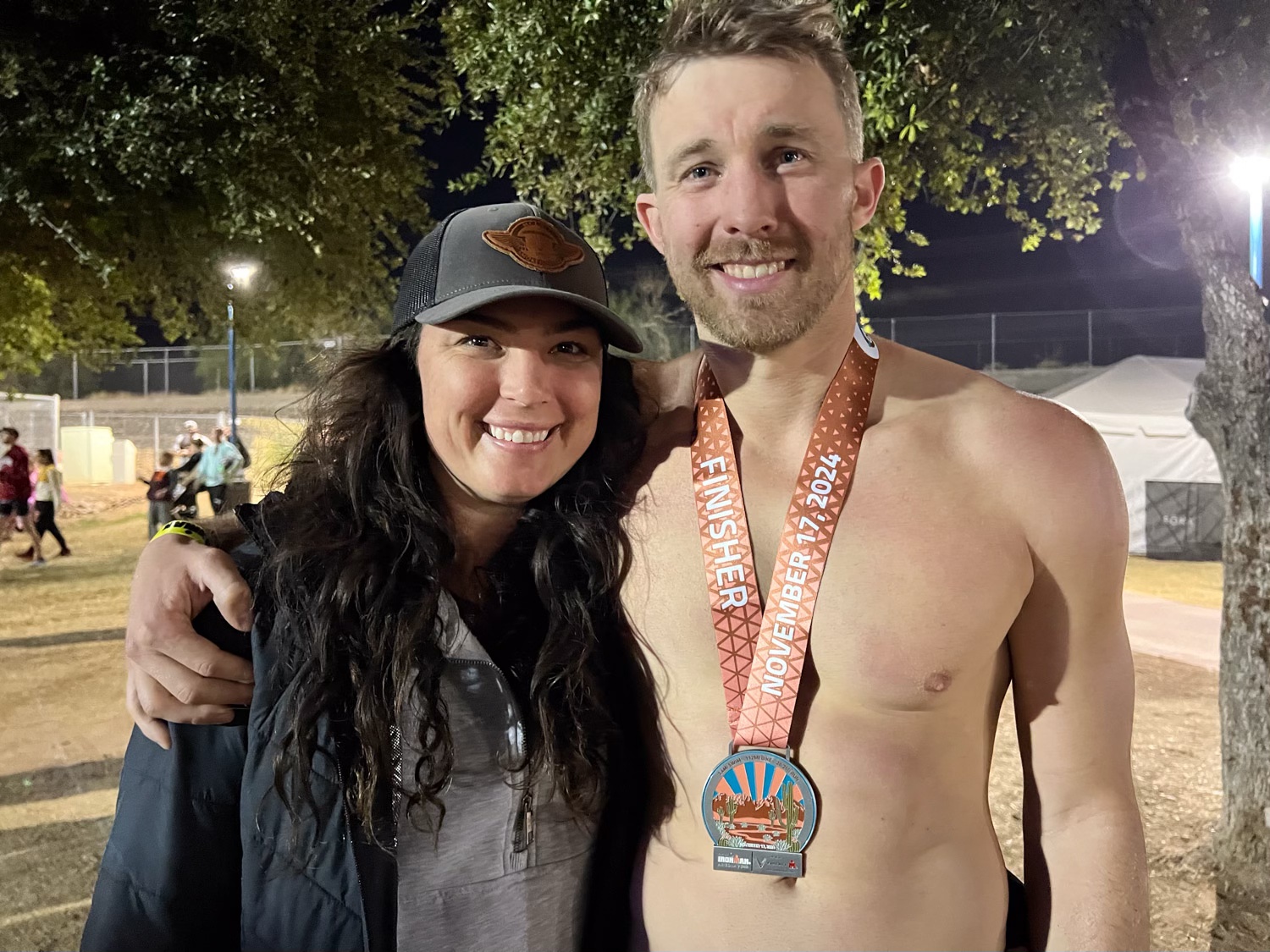
Meryl and Chris wearing a well-deserved finisher’s medal.
The family (except Dan snuck out of the photo). We went back to the hotel where they were all staying. The grandkids played in the pool and the big kids sat in the hot tub while we all rehashed the day. We got together Monday morning for about an hour and then we all had to go our respective directions. Katie had to get a rental car to get back to Safford, Arizona where her car had been towed the previous day after breaking down about 2-1/2 hours from Phoenix (and I had driven to pick up her and the kids, but that’s another story). Meryl and Chris visited a friend in the area for a couple of days and then made a trip to the Grand Canyon. Dan and I had to get home by that evening.
I took this photo just inside California at 11:40. We got home about 8:30 that evening. I sure enjoy hanging out with my kids. I wish we could do it more often.
I’m interrupting the Pasture and Irrigation Renovation posts (#9 of that series) of the last few weeks because we had an adventure before the project was completed.
Chris was to compete in the Tempe (AZ) Ironman on Sunday. Dan had gone to Idaho for a visit and to pick up Chris’ bicycle so he wouldn’t have to ship it. We left November 14 (Thursday) with the plan to camp part way and get to Tempe mid-day on Friday.
I took this photo when leaving the park on Friday, because by the time we got to Joshua Tree NP it was dark and I did not take a photo at the west entrance. I did not take any photos that evening. We set up the tent and ate bagels and cheese for dinner. This trip was not intended to be a real camping trip. We just needed a place to stay on the way to Arizona and it seemed that it would be fun to have short National Park experience. When we got there we realized that we hadn’t even brought any water, other than the water bottles we’d already emptied. I have learned that I am not a winter camper. The last (and maybe only other) time I have camped in the winter was at Big Bend National Park in 2017. I know that because I just looked for the blog post and found it. I have the same sentiment now that I did then–you get to a campsite in the dark and it’s not bedtime but you have to get in a sleeping bag to be warm.
I think we got in sleeping bags about 6 p.m. I read awhile and eventually fell asleep. I woke up at midnight and the wind was howling and the rain fly was slapping the tent. Dan told me the next day that he wondered if he left the tent in the middle of the night if it would blow away with me in it! I read until I finished a book about 3 a.m. and then slept. I woke up early and thought I’d be better off moving than lying in the sleeping bag for longer. I thought I might find some sun since it was starting to come up.
I found a marked trail not too far from the campground.
I didn’t see any bighorns, but I liked the sign.
Dawn in the desert.
This seems like a prickly place for a bird nest, but maybe it’s protected that way.
We were staying at the Ryan campground, named for the Ryan family who settled this area in 1896. It’s hard to imagine that 60 people lived here and worked in at the ranch and mine until 1908. This is one of the buildings built of adobe bricks. There are other remnants of the ranch as well.
You can see this structure centered the right of this photo. Those two large rock features are part of the campground and our tent was behind the one on the right.
Part of a toppled windmill. At this time the sun had reached the hills across the valley but there was not sun where I was.
I continued my walk until sun appeared over the hill and from behind clouds and I could stand in a sunny spot for awhile.
The tent was still in the shade when I got back. Dan had emerged, but maybe you can tell that he was cold. We didn’t linger there, but packed up and headed for Arizona. We did spend some time in the park, stopping to read signs and take in the sights.
This is a view over the Coachella Valley with Santa Rosa Mountains in the background and the San Andreas fault at the eastern edge of the valley.
We stopped at the “Cholla Garden”, a location along the road filled with cholla cactus.
This is a fascinating landscape, and I’m glad it’s preserved by the National Park system.
Another sign tells that Joshua Trees live only in the Mojave Desert and that is in the northern section of the Park. The Mojave and Colorado Deserts overlap in the park and the vegetation in each is different.
I’ve been at the computer a lot, but haven’t had time to finish this story. I usually start with a photo of our campsite, but we stayed in a motel in Trinidad after seeing the Cowgirl Artists show. This day we were headed to Colorado Springs to visit Dan’s brother.
We stopped in Pueblo along the way just to get out of the truck and wander around a bit.
We found a shady place to park and walked into the old downtown. This bike was one of many that we saw painted in bright colors. I didn’t notice if they all have the same message. I suspect that they are all different. This one: “Life is like riding a bicycle. To keep your balance you must keep moving.”
This is the old train station. Notice the blue bicycle leaning on the lamppost.
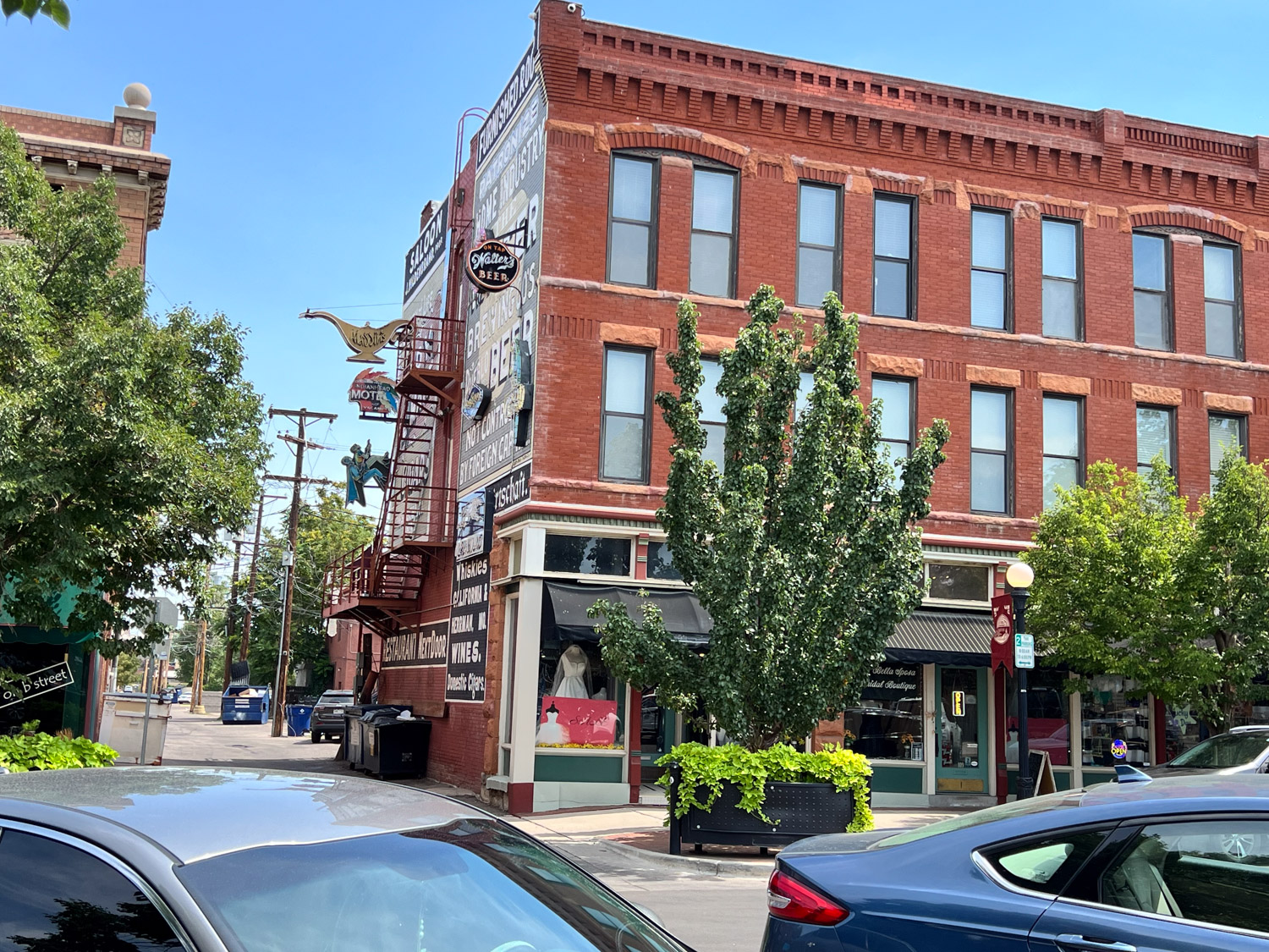
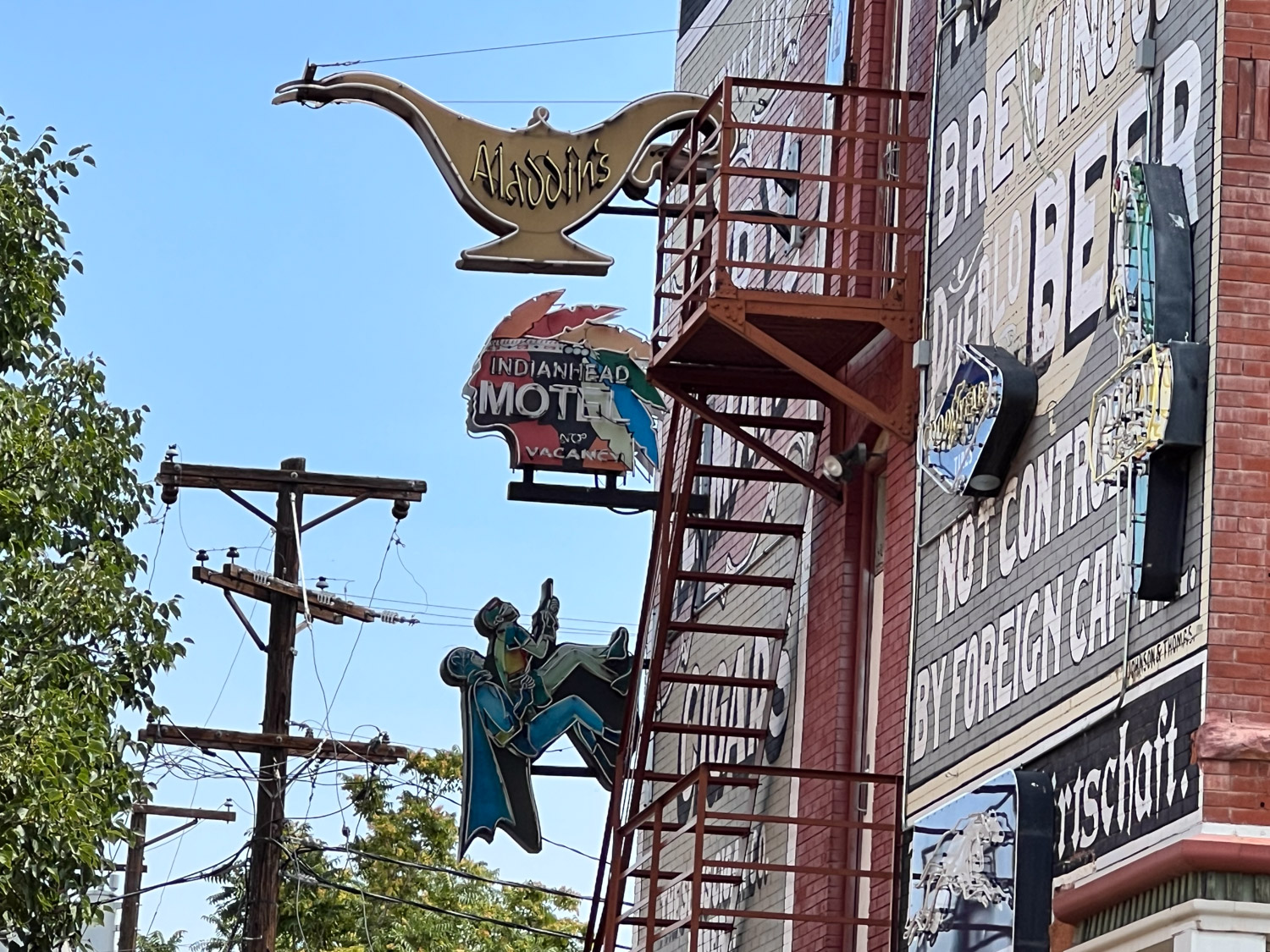
There were lots of brick buildings. I took this photo for a reason.
Did you notice who is climbing up the side? I got a kick out of seeing Batman and Robin from the old TV series on the wall.
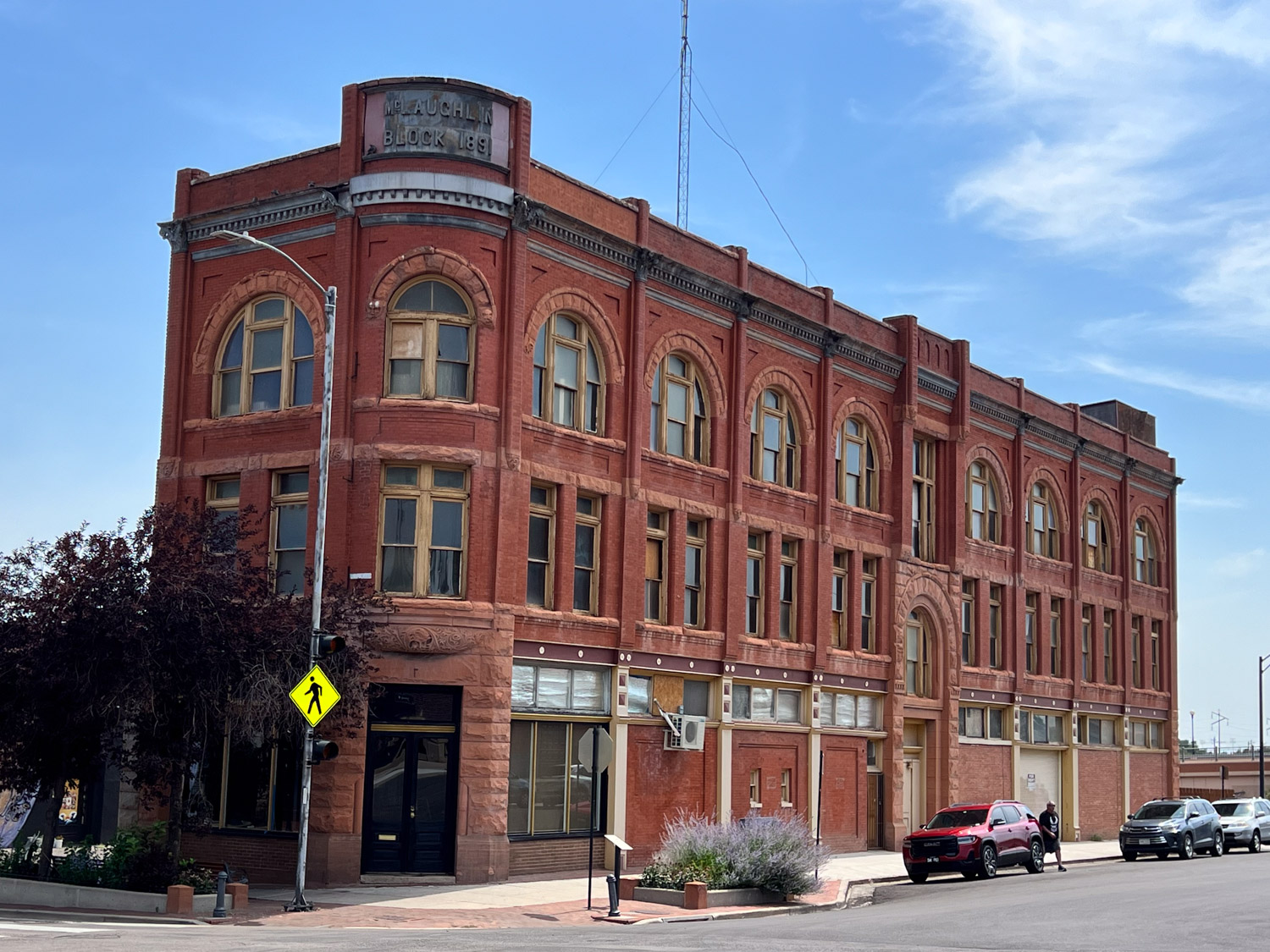
Another interesting building. We drove onto Colorado Springs.
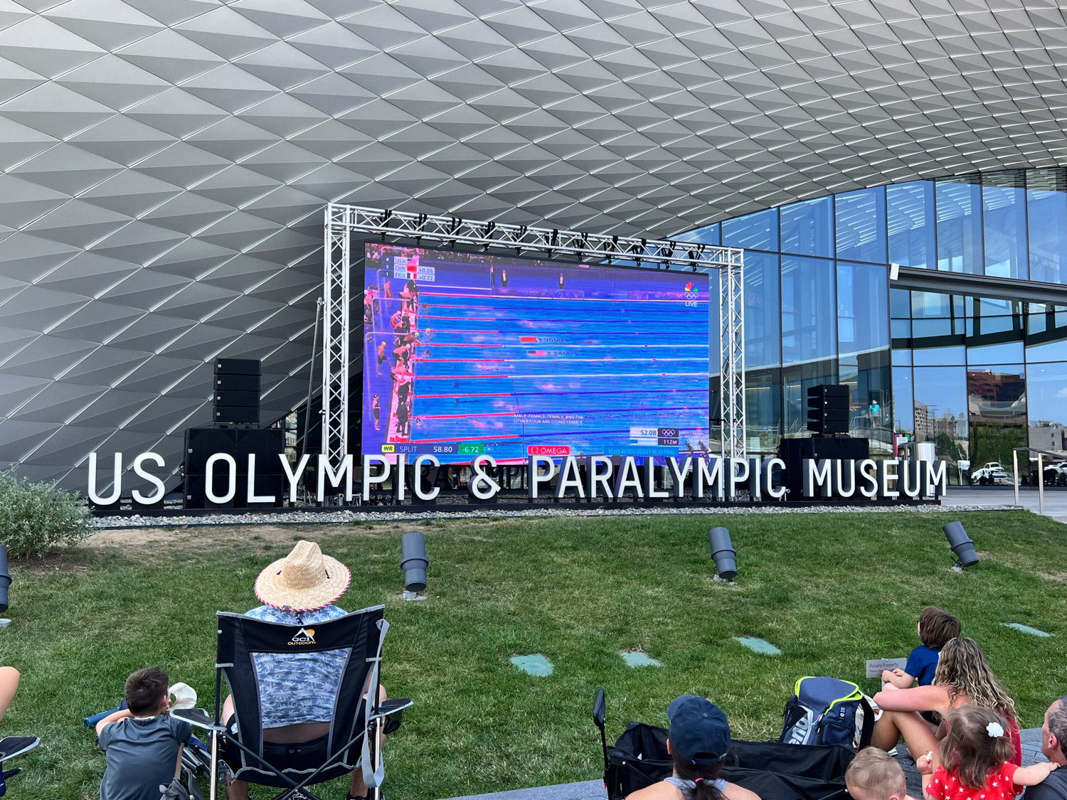
We stopped near a park where we thought we might walk along the river, but then we saw that the Olympic & Paralympic Museum was right across the street. There is access from these stairs that go up to a walkway and down the other side.
The walkway comes out near the main entrance of the museum and since we were in the middle of the 2024 Olympics it was fun to watch a portion of it on the large screen that was set up outside the museum. They were broadcasting swimming at this time.
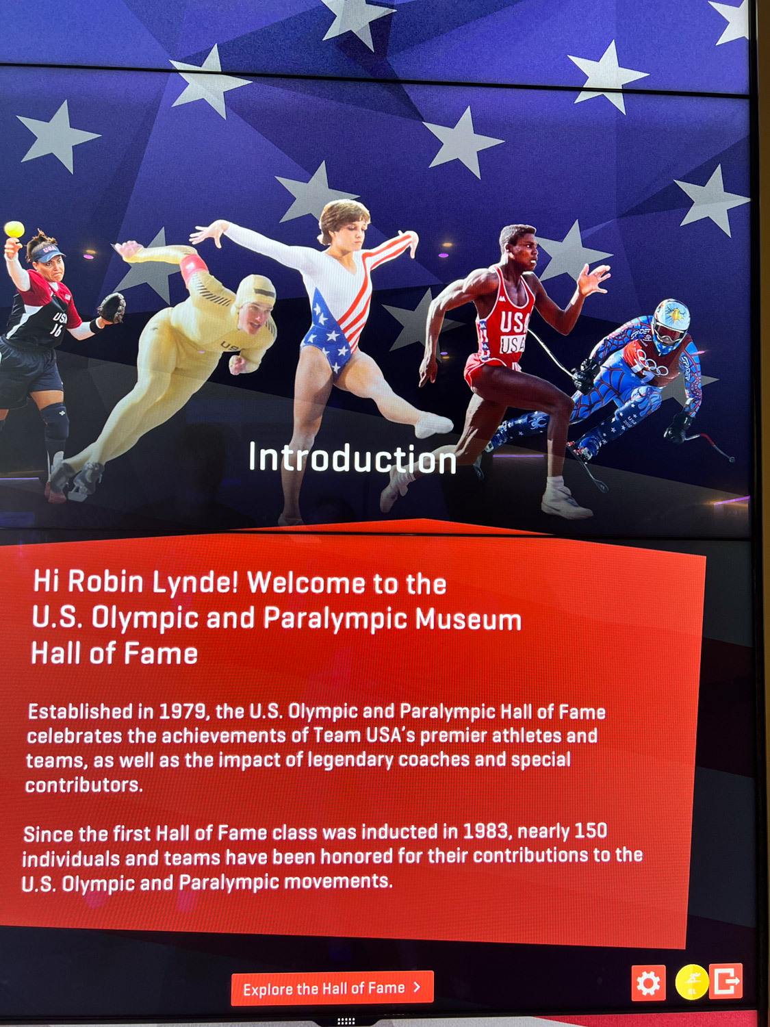
This was a difficult place to take photos. It’s also difficult to describe. You enter on the bottom level. After you pay you get a badge on a lanyard. You can use that to sign in to computerized presentations, many of which are interactive, throughout the museum.
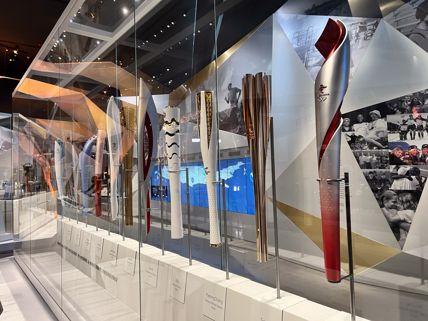
After the initial check in you take the elevator to the top floor. The museum is set up so that you spiral down through many different exhibits. This case held Olympic torches from many of the Games. I hadn’t realized that all the torches are different.
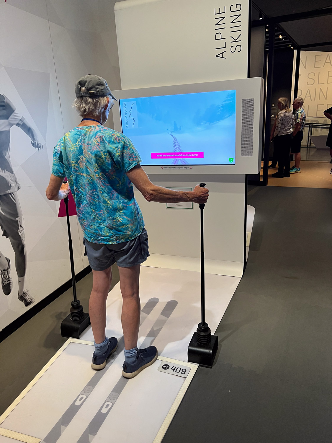
There were a few opportunities to try out sports via video. I chose skiing over archery.
As you follow the path through the layers of the building there are dozens of different displays about everything from the professional staff that is required to support all the athletes (did you know there is a Team Mom?) to highlights of specific games, stories of individual athletes, and information about gear and clothing.
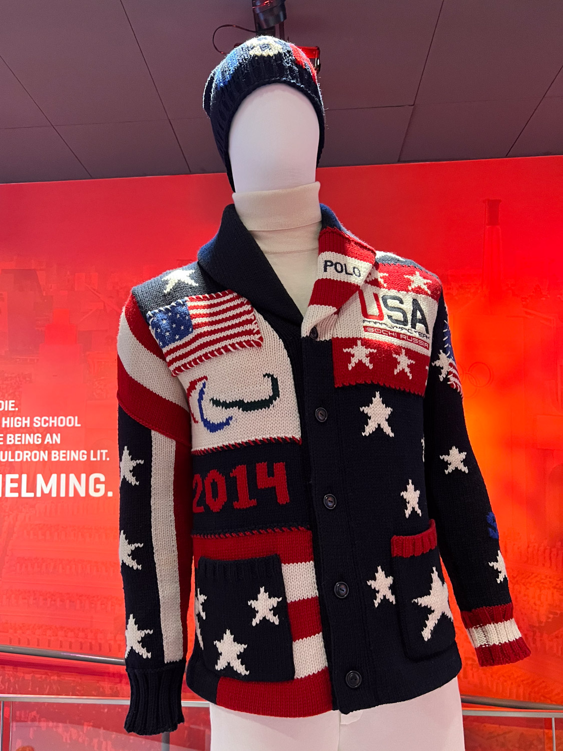
I’ll end this post with a sweater that I recognized. This was the sweater worn by the athletes at the opening ceremony of the Winter 2014 Games. It was designed by Ralph Lauren and knit from wool grown in Oregon. The whole process supported U.S. businesses. I remember writing a blog post about this yarn when I used it in an Artery show and there I found this link to a video about the ranch and the creation of this sweater. It was worth another watch.
We drove to my brother and sister-in-law’s house and spent the night there.
If you’re just tuning in you can see Days 1 and 2 here.
I woke up in time to see the sunrise at Great Basin National Park.
Here is another view of our campsite.
The only paved road in the park winds up to the trailhead to Wheeler Peak (13,063′ elevation). We didn’t plan on hiking all the way to the peak but hiked to the lakes at the base. The hiking is all above 10,000′.
Stella Lake is the first of two lakes along this trail.
This doe posed nicely for the camera.
This sign indicates that we were about a mile from the trailhead where we started on this loop trail. However, there were signs that said the area was closed due to ongoing work. In fact, the road had been blocked before we got to the end and we’d parked lower than we first planned. Law-abiding citizens that we are, we didn’t take this trail back but took another fork and ended up back-tracking over most of the way we had already walked.
That just meant that we got to spend more time in this gorgeous area and put in about 6 miles that morning.
I’m always the one taking photos. Dan took this one so that I could prove I was there. Funny story, and maybe an example of things to come on this trip–there were two large trucks in this parking lot waiting to get past the gate that is just to the left of those porta-potties. They were full of rock or gravel or whatever they were using for the road surface. However the gate was locked and no one had a key. The drivers were trying to find the right tools to take the gate apart. I figured that one of the trucks could have just rammed the gate (being just a pipe) and driven through, but I wasn’t going to suggest that. We were able to move our truck around to get between the two big ones, but then the traffic was stopped on the way down until the pilot car that was with these trucks could make it down the mountain. So these was the first delay of the trip.
We planned to go to the visitor center and maybe see the Lehman Caves.
We spent a little time at the Visitor Center and I made a point of finding these Tempestry panels, knit by my friend, Lisa. They depict the daily high temperature for a given year and location, in this case 1916 and 2016 here at the park. You can find out more about the Tempestry Project here. This is the same idea I use in my Year to Remember blankets
This was Thursday afternoon and we needed to be in Trinidad Colorado by Friday afternoon. We didn’t have time to take a cave tour, so we’ll have to go back.
We took Highway 50 across Utah. This highway is known as “The Loneliest Road in America”, at least in Nevada. It gets a bad rap because it can be desolate, but this area in Utah known as the San Rafael Swell is stunning. (Click on one of the photos to enlarge and scan through them.)
We were somewhere west of Green River when the traffic stopped. We spent about two hours in stop and go traffic, mostly stopped, with no where to pull off. A friend (the afore-mentioned Lisa) and I were texting at the time and she found a a clue to what was going on–there had been a police chase that ended in a fatality.
Later I searched for myself and found a local news report that confirmed a chase that followed an attempt at a traffic stop. The driver passed into the median and eventually wrecked the car killing himself and another person. By the time we got to this area where we’d be able to get to an offramp our truck indicators showed that it was overheating.
We finally got to the exit and were able to let the truck cool down. Fortunately it hadn’t caused damage.
We headed south towards Moab as the sun was setting.
Not long after we turned south two sheriff trucks passed with lights and sirens. One of them weaved back and forth, stopping traffic. We were the first vehicle behind the trucks. The deputy told us that there was a pursuit in progress and, if the vehicle being pursued hit their trucks, then we should “get out of here”. That was a little nerve wracking, especially after the last episode and seeing these cops with guns drawn. Eventually the car drove past in the northbound lane with at least a dozen cop cars following. The car was being driven on rims–there must have been a spike strip that the driver ignored. All those vehicles went by and then these two turned around and followed It seems as though for the next hour we continued to see law enforcement vehicles going that direction. I never did find out what that chase was about.
These stories are not the most significant ones of our trip, but the situations pop to the top when we think about the day.
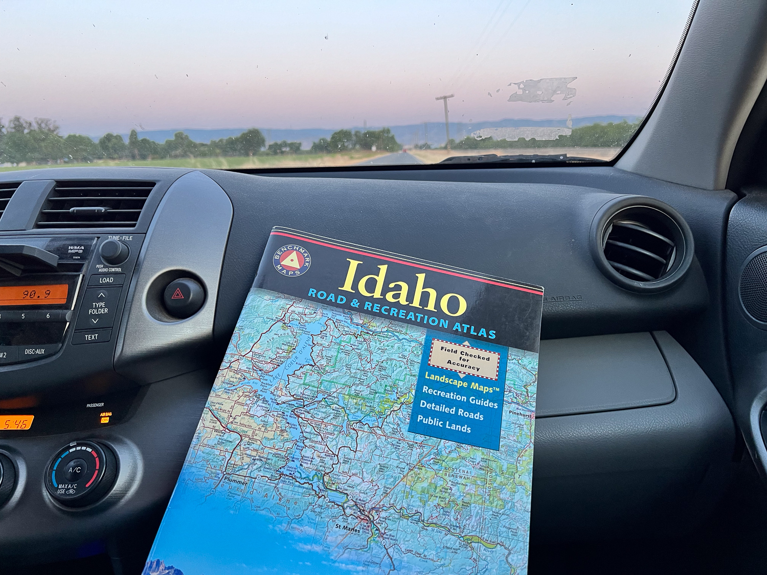
We drove south on Hwy. 491 and into Colorado and then turned east on 160. I followed the big map book and found where the highway was bordered on both sides by USFS land. There were some roads shown on the map where we could get off of the main highway. We didn’t need a campground as long as we had a safe place to pull off. We were in the San Juan National Forest and found a road that turned north. We found a spot where we could pull off that road. I think we were still eating bagels and bagged salad that we brought from home. That was dinner. We rolled out the sleeping bags in the truck and went to bed.
Finally…another Road Trip. The last real trip Dan and I made was in 2019. Yes, we drove to Estes Park last year, but it’s not the same when you have a trailer full of sheep and can’t stop to play along the way. This trip was planned to coincide with the opening night of an art show in Trinidad, Colorado, but I’ll get to that in a later post.
I drove my granddaughter to the airport Tuesday morning (July 30), and we were finally packed and ready to go by about 5:30 that evening. How do we get away when there are all these sheep to take care of? Thanks go to Farm Club members who were able to spend two to three days each to take care of sheep, the garden, and of course, Ginny.
We have our phones, but I sure like to follow along with real maps. We can find a lot of interesting details along the way, figure out USFS lands where we can camp, and get a broader overview of an area. Then I use my phone to look up odd place names and read background info as we travel.
Some of my photos will be “drive-by” where there are plenty of windshield splotches visible. I haven’t been in the higher Sierras lately. I don’t think I’d seen this devastation from some of the fires over the last couple years. I think this was from the 2021 Caldor Fire that burned in the El Dorado National Forest and beyond. There were miles of devestation.
We drove east on Hwy. 50 and turned south towards Markleeville and then Hwy 395 on the east side of the Sierras. It was dark by the time we were near Mono Lake where we decided to spend the night. We got gas ($6+/gallon) as the last station was closing in the nearest town. Then we found a place to park the truck and camp.
This photo is from the next morning. Our style of camping is to bed down on the platform Dan made in the back of the truck. I sleep on a foam pad and a sheepskin and am almost as comfortable as in a real bed.
It’s hard to imagine that this was once part of the lake. The sign in the next photo says that in 1994 the State Water Resources Control Board set a target level of 6392′ which is 25′ below the lake level in 1941.That decision decreased diversions by Los Angeles from four Mono Lake tributaries.
I don’t know how much progress has been made but there is still a long way to go, The mandated level of the lake will be at the base of these signs
We walked down the board walk to the lake edge.
From The Geology and History of Mono Lake: “Along the southern shoreline of Mono Lake, large tufa towers or pinnacles rise above the water’s surface. These iconic pillars, comprised of precipitated calcium carbonate, formed over thousands of years by the interaction of freshwater springs and the highly alkaline waters of Mono Lake.” This website also says that when the water diversions were stopped in 1994 the lake was at about half the water volume and twice the salinity of what it was before the water diversions began.
Mono LakeMono Lake
After exploring a bit of the lake edge we got on the road. We planned to camp at Great Basin National Park, on the eastern edge of Nevada, Wednesday night.
We have always wondered about the Clown Motel which we discovered on a trip through Tonapah when we made a decision to NOT stay there and try another. It is even more clown-themed now than I remember it from before. I just looked it up and found that in 2019 it was purchased by someone who embraced that theme and has modernized the motel. I read more and found that there is a history to the clown theme. You can see that here if it intrigues you.
We made it to Great Basin National Park by about 5 p.m.
I needed to get out of the truck and get some exercise. After we chose a campsite I followed a trail along the nearby stream about a mile and a half. We didn’t see any warnings about bears, but I started thinking about them and wondered if hiking by myself near dusk was a good idea, especially with the recent fatality in CA by a mountain lion. The only bear encounters we have had were at Grand Tetons and Yellowstone, but maybe it’s the older I get the more I know that sometimes things go wrong. I decided to turn around. I still enjoyed the beautiful scenery.
When I Google “convergence” I find “an annual convention for fans of Science Fiction and Fantasy”, “a global network for blended finance”, and more, If you’re a weaver you probably know of Convergence as a gathering held every other year by the Handweavers Guild of America. This year it’s in Wichita, Kansas. It was a year ago that I applied to teach here and two of my proposed classes were accepted. I ended up teaching only one because too few people signed up for the other.
I flew to Wichita on Wednesday.
The conference is at the Hyatt Regency and the adjoining Convention Center. I spent the afternoon setting up my classroom for the next day’s workshop. Then I explored the nearby area.
Screenshot
I took a screenshot of the app I have on the phone to record workouts–although I don’t call this a workout. It’s a walk. There are paved paths along each side of the Arkansas River with plenty to see on both sides.
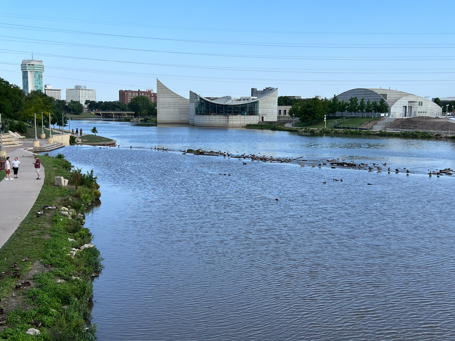
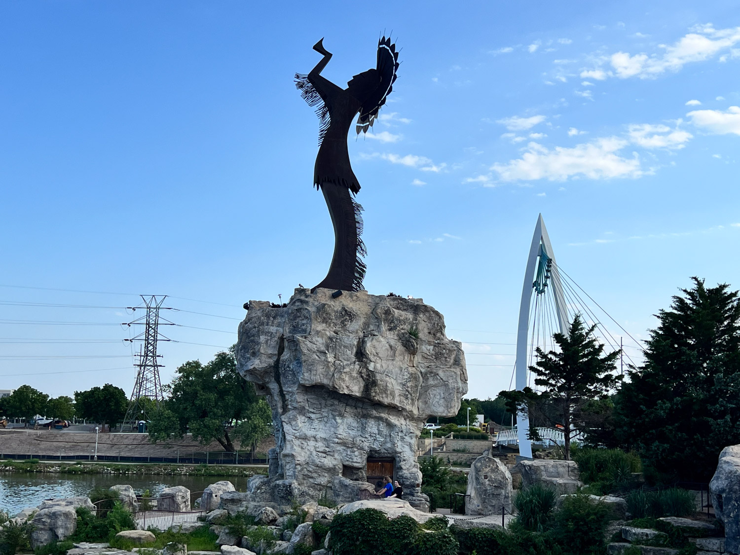
This unusual building is the Exploration Place. In the distance you can see a pedestrian bridge and the 44-foot tall Keeper of the Plains statue that rises on a rock promontory. It is at the confluence of the Arkansas and the Little Arkansas Rivers, as seen on the map above.
This monument is just off the path and is one of many in the adjoining Veterans Memorial Park
Exploration Place seen from the north.
Keeper of the Plains. The statue was erected in 1974 and was raised on a 30-foot promontory in 2006 so that it could be seen from farther away. In the adjoining plaza there are displays that describe the local tribes that used to inhabit the area. There is also a ring of fire pits that are lit nightly for 15 minutes.
As I walked back on the other side of the river I had another view of the Exploration Place. Right now the website advertises two nights of Superhero Sleepover (“Bam, Pow, Snooze”). This looks like a great place to visit with kids…probably adults too. I took this photo partly for my own kids who I think would be interested in or amused by the helicopter, the giant open mouth and the green object on the left. You probably can’t tell in the photo here but I could see from where I stood that it says Fart Chair. The building is large and I’m sure holds a full day’s worth of interesting activities.
This is a view of the Hyatt from the bridge where I crossed back over the river. Home for the next four days.
I think we’ve made it to all the Ironman events for Chris and Matt. When I search the blog I used from 2019 through early 2023 I found 11 posts about our Ironman experiences. The earlier WordPress blog (which is what I’m using now) had Chris’ first Ironman in 2013 and the second one in 2016. Do you see the purpose of these blog posts? Like I’ve said before, they replace the old scrapbooks. And now, to have the best of both worlds, Matt has made real books out of many of them (see this post).
Chris had to fit this Ironman in before fire season. Chris and Meryl live in Boise and Chris works out of McCall, so it seemed that Coeur d’Alene was doable. For us it was a 13 hour drive. This post is all about the drive on the first day.
We left at 5:45 a.m. on Friday, only 45 minutes behind schedule. The event was on Sunday so this would give us a day to check out the course, check in the bike, and visit with Chris and Meryl.
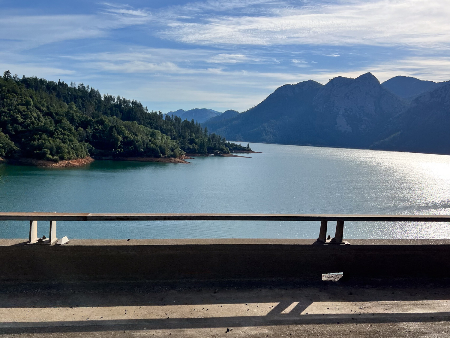
It was good to see that Shasta Lake is full.
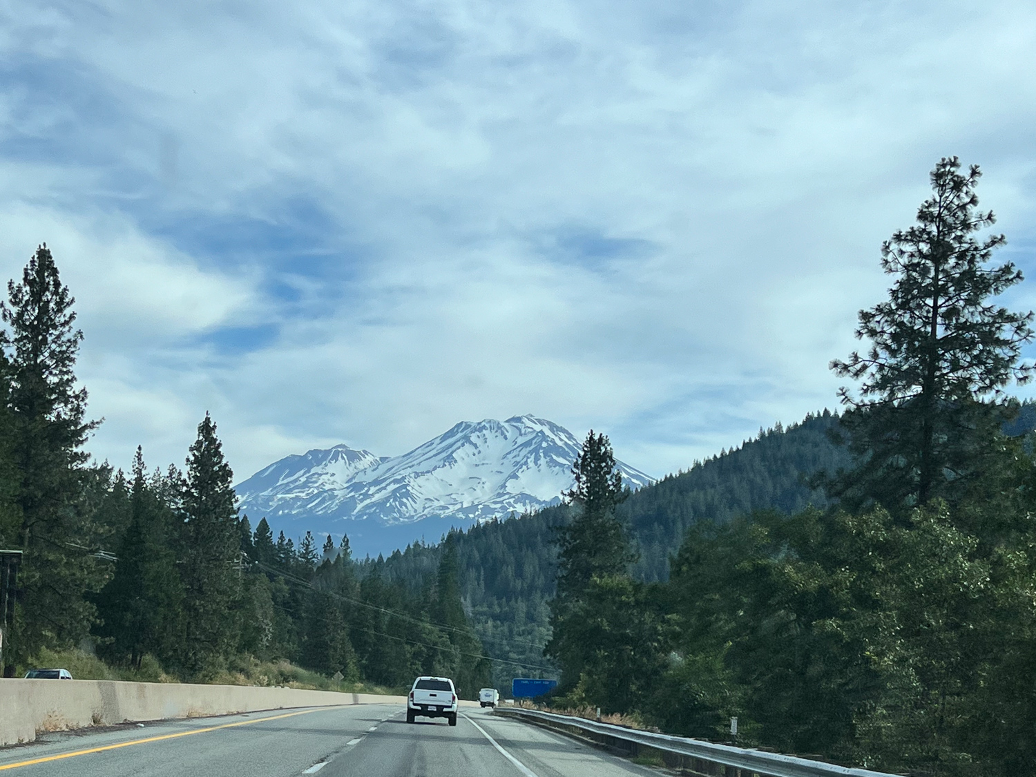
I always look forward to seeing Mt. Shasta.
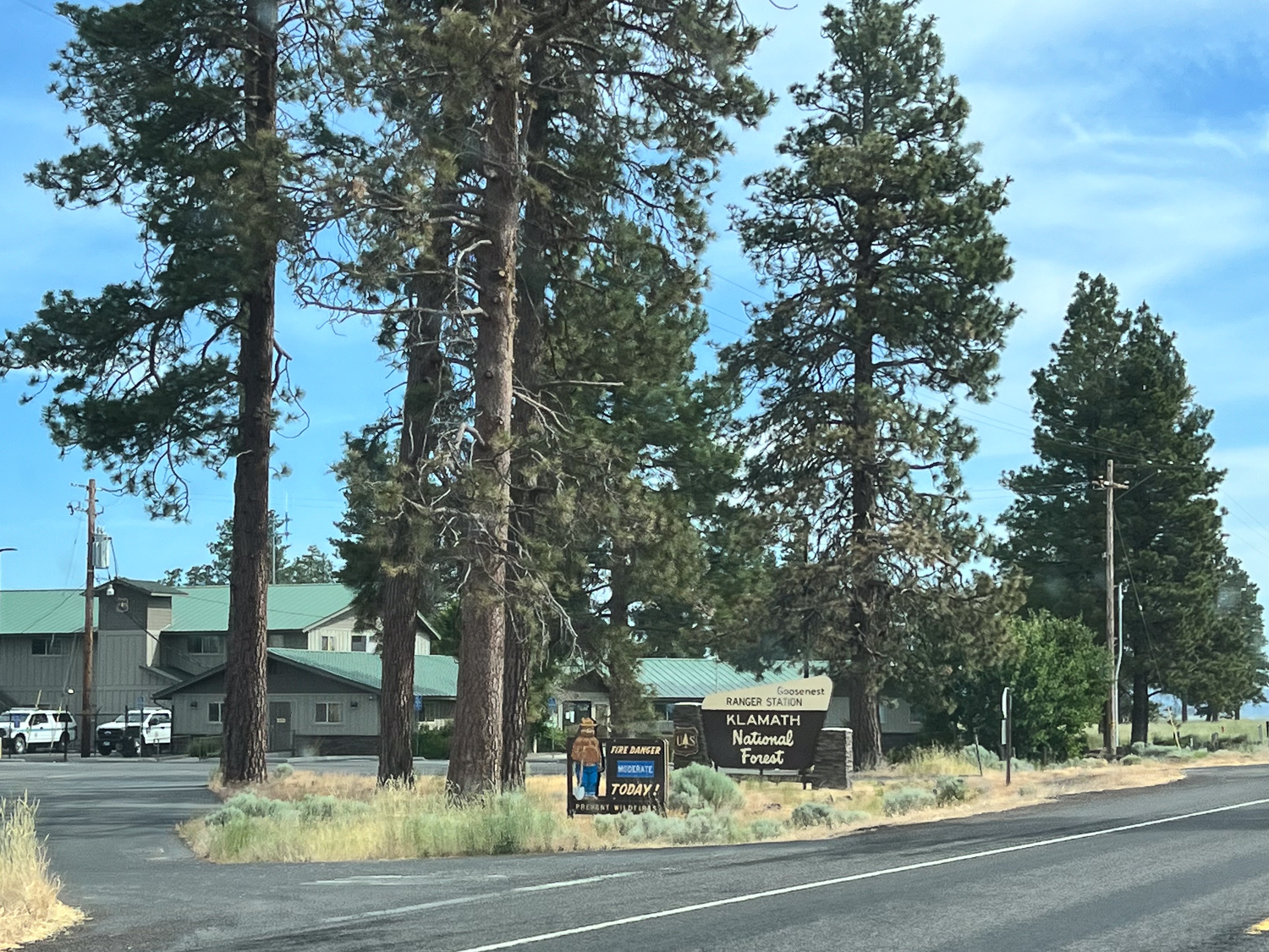
We veered off I-5 at Weed to take Hwy. 97 into Oregon. I interned for a summer in the mid 1970’s (or was it two?) in Siskiyou County for the USFS. This is the station where I reported and I lived in a tent at a campground about 10 (?) miles away. I have forgotten a lot of details. I wouldn’t mind going back there to see it, but this wasn’t the trip for getting side-tracked. There were lots of memories driving through this area though.
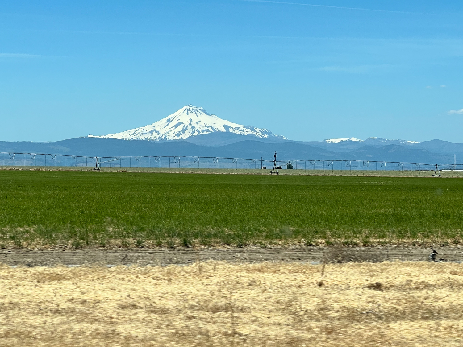
Once in Oregon we were struck by the mountain peaks rising so far above everything else. I’m used to our area where you see a whole range of mountains when the sky is clear enough. Here it’s interesting to see individual mountains that rise above all the rest. This one is Mt. Jefferson (I think), 10,502′ at the peak.
I have lots of landscape photos but I can’t put them all here. I don’t know if I’ve driven this stretch through Oregon. The main feature along this part of the route was the grassland. In fact over 173,000 acres are designated Crooked River National Grassland
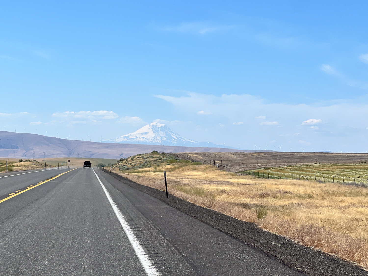
I’m skipping ahead. We’re still in Oregon but with a view of Mt. Adams in Washington.
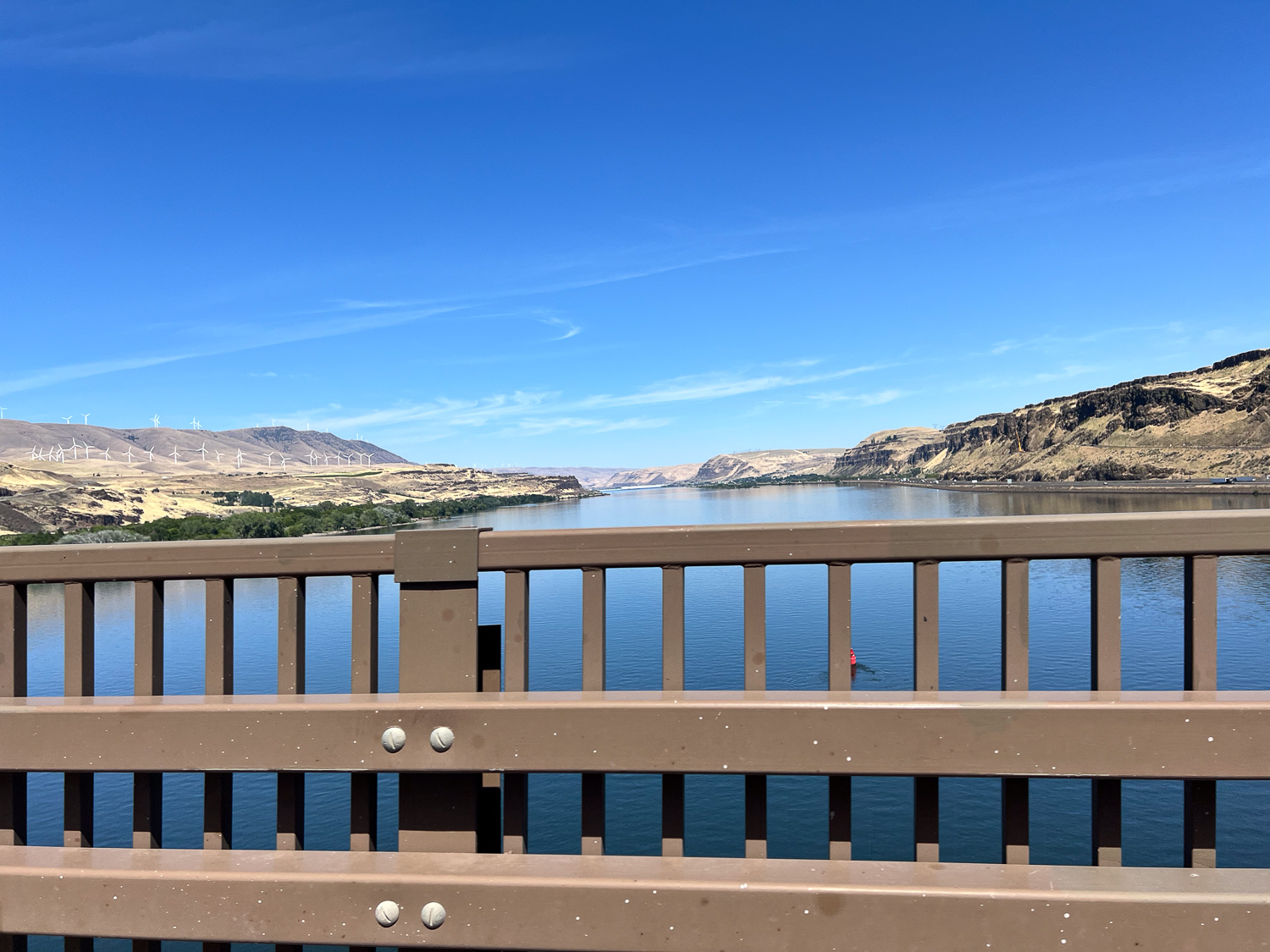
This is crossing the Columbia River at Biggs Junction, entering Washington.
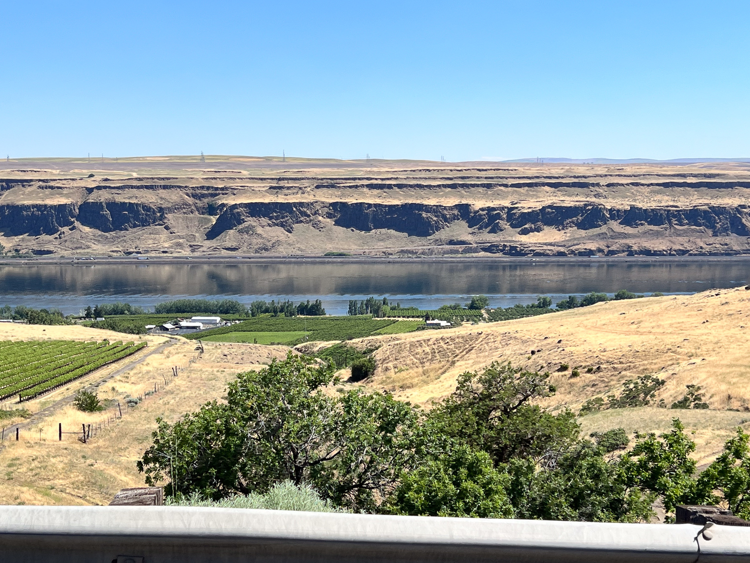
This is the view from the north side of the Columbia River.
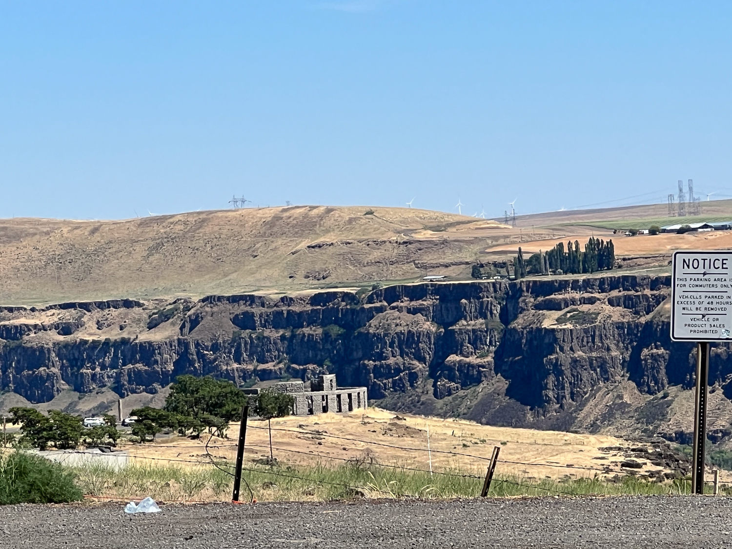
There is an interesting structure on the north bank of the river. This is known as Stonehenge and it was constructed in 1918 to memorialize the men who fought in WWI. See the whole story here.
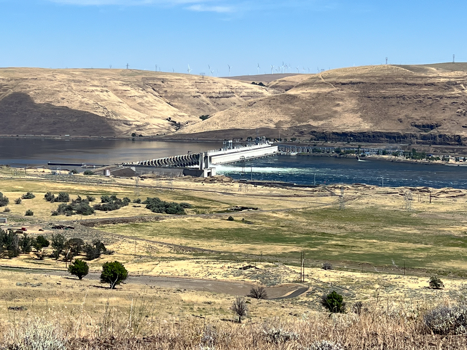
John Day Dam is not far from where we crossed the river. Construction started in 1958 and it was first used in 1971. I am fascinated by the lock structure that lifts a maximum of 113 feet, seen on the left in this photo.
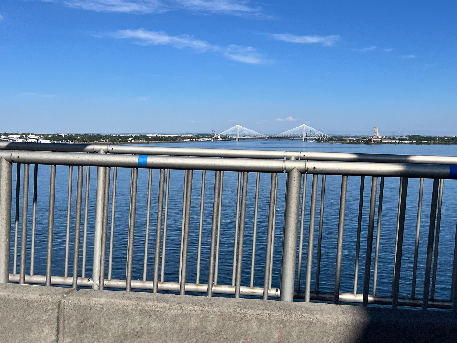
View crossing the river at Kennewick.
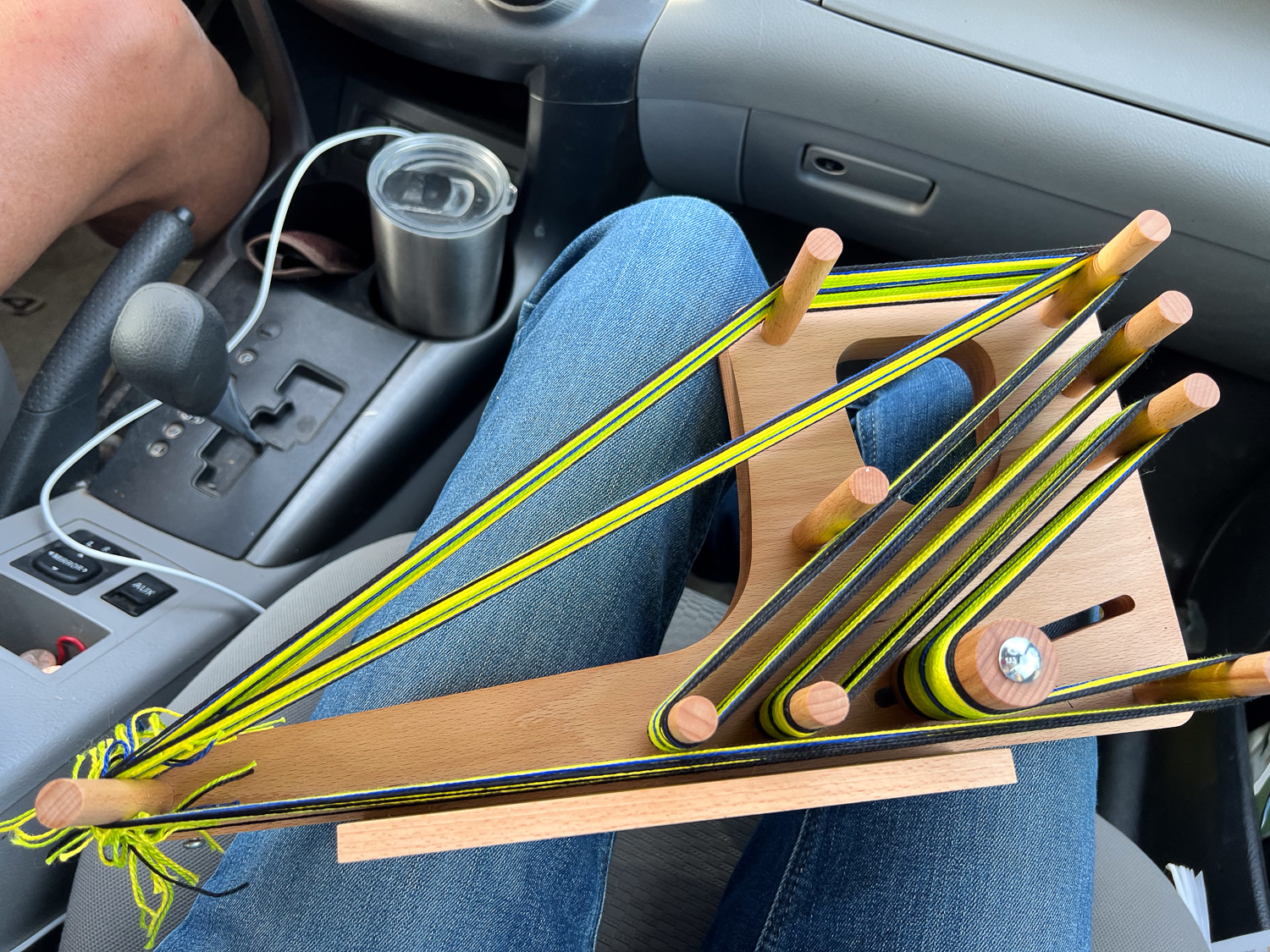
Knowing that Dan would want to do most of the driving, I brought a ridiculous amount of projects and unread magazines with me. I spent the first few hours working on the article I’m writing for Handwoven that was due soon. Once we got into the Northern California mountains and then through Oregon and Washington I wanted to see the scenery. I didn’t get anything out until the last bit when I pulled out this inkle loom to thread it.
It was still daylight when we got to our motel. We met up with Chris and Meryl briefly but everyone needed to get some sleep. To be continued.
The Eclipse in Texas post is here. That was on Monday. I was flying out on Wednesday, but in the meantime Dan and I had a day to find something to do. Kids were at school and Katie and Kurtis were at work. We drove to the town of Blanco to see what we could find.
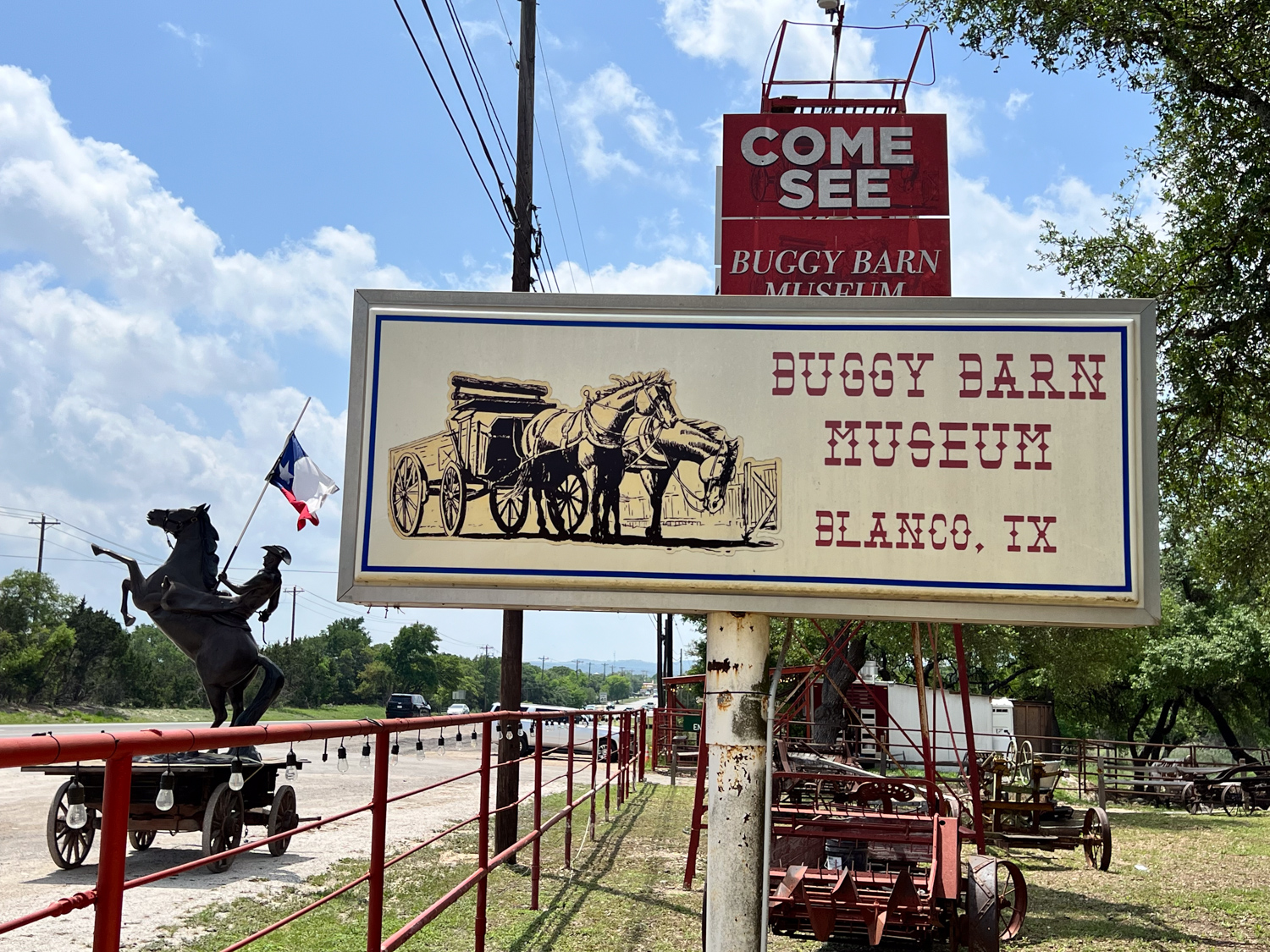
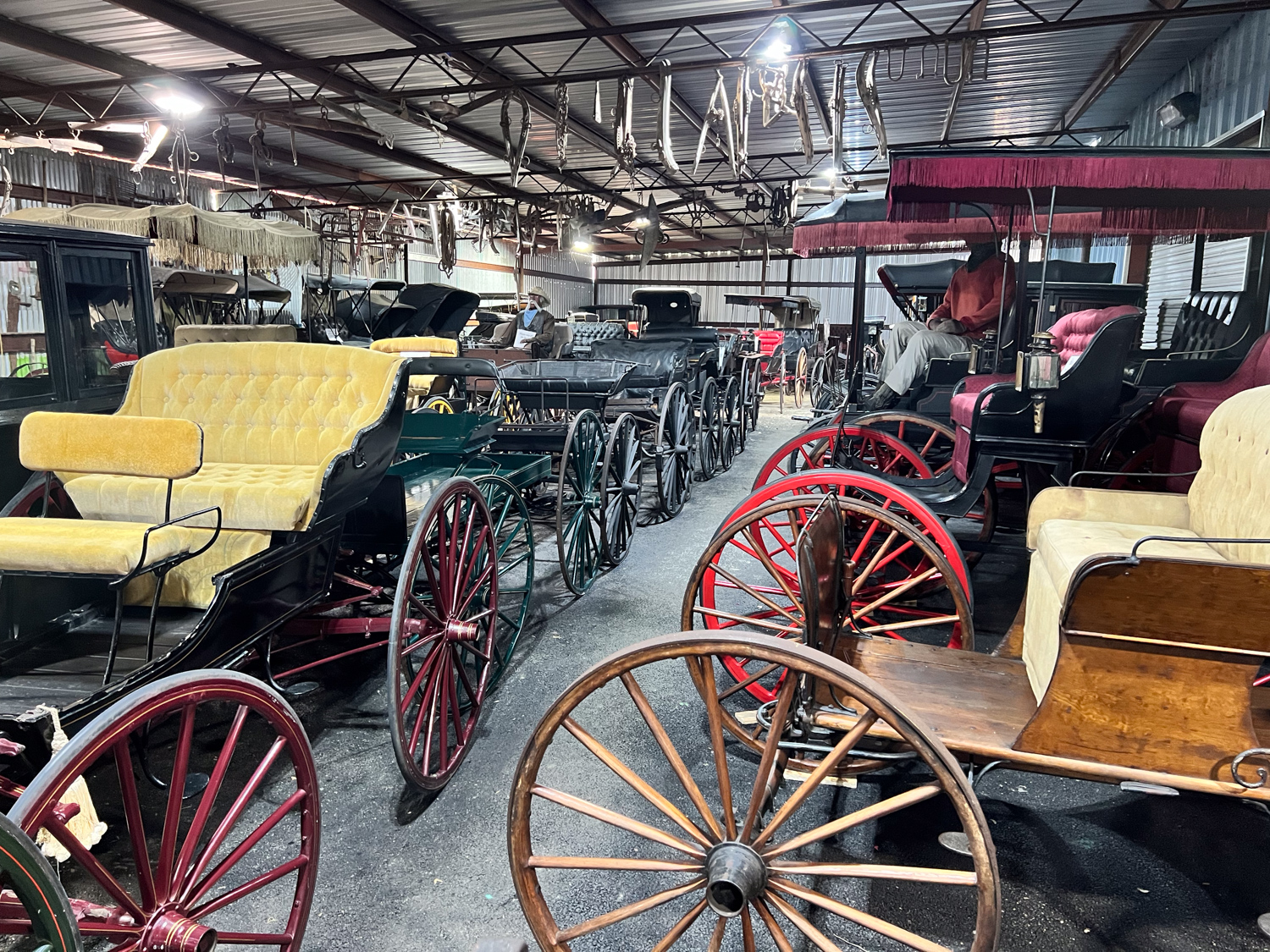
We ended up at the Buggy Barn Museum where there are over 250 buggies, wagons, and carriages of all types. There is also a street with the Old West look and buildings that can be rented for photoshoots or gatherings.
We wandered around the Old West and explored the buildings.
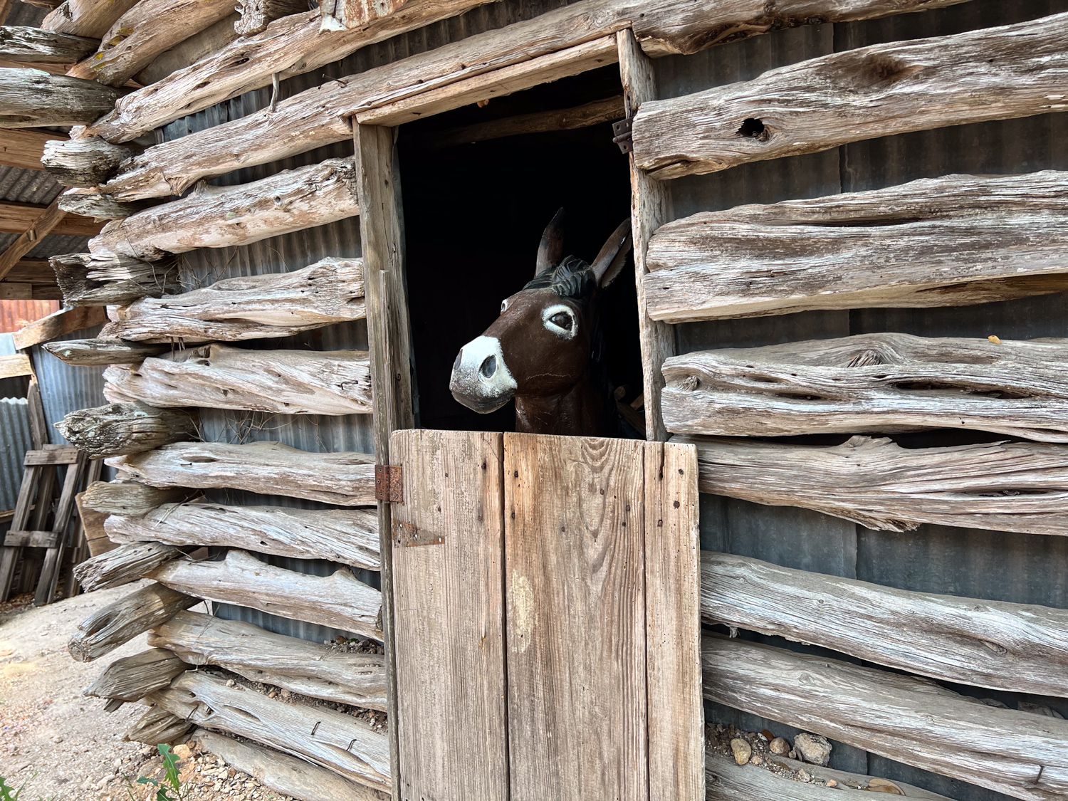
We found a donkey (plastic) peering out of a stable.
Then we found the interconnected buildings that house the buggies. There are signs on some but not all. I don’t know what this wagon carried–something that needed to be confined to a cage.
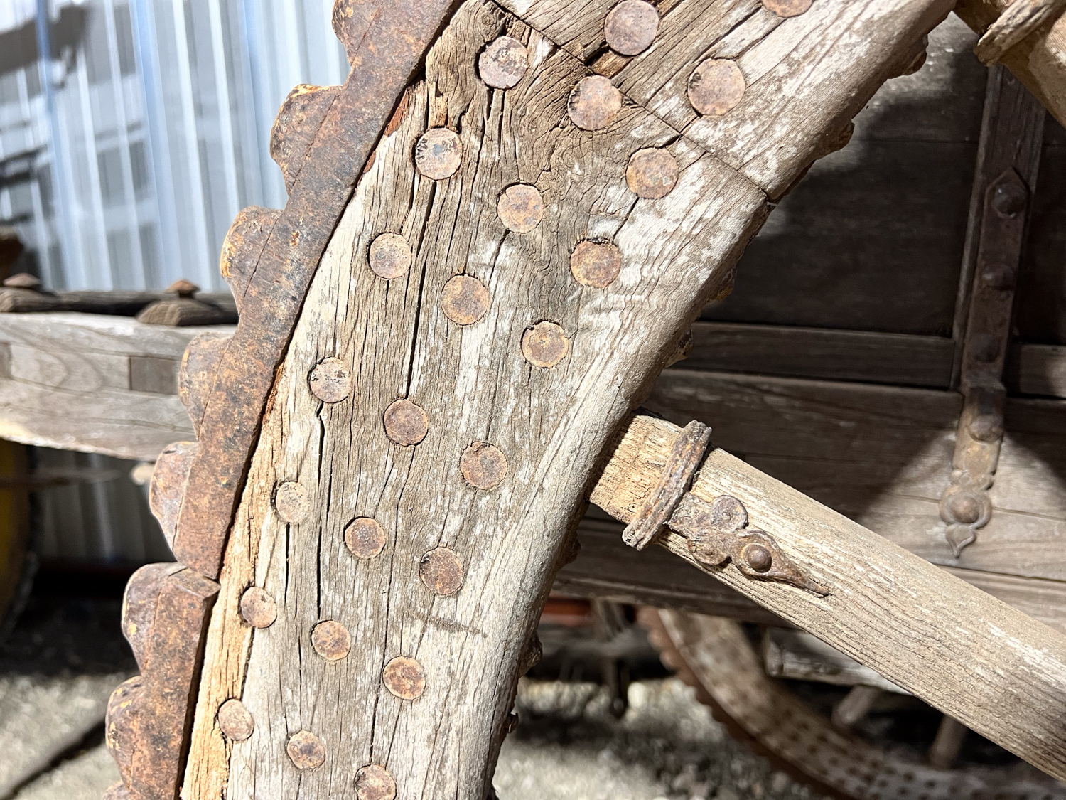
Detail of the wheel on that buggy.
I can’t tell you all the different types, but there are a lot. Some of the buggies have signs that list movies or TV shows in which they have been used. Some have been restored for those shows. Others are replicas.
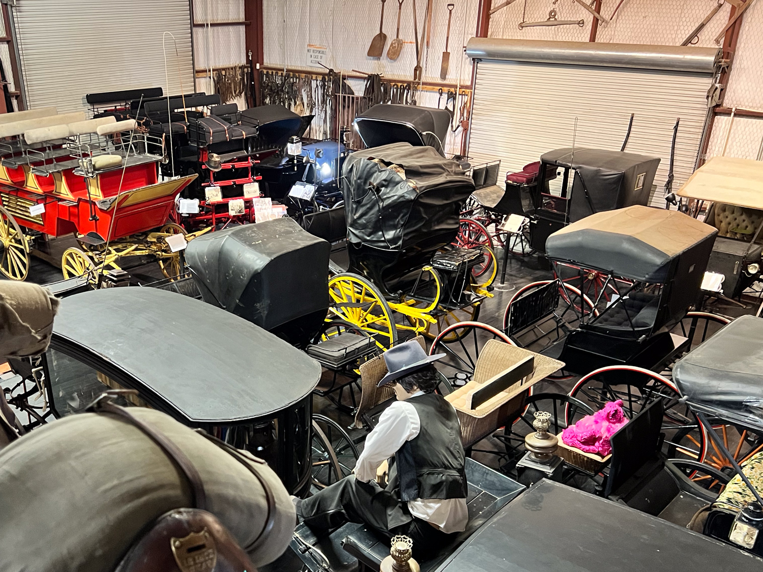
This is a view from an upstairs room that was also filled. There were several times I glimpsed a person driving or riding in a buggy and I had to look twice to realize it was a mannequin.
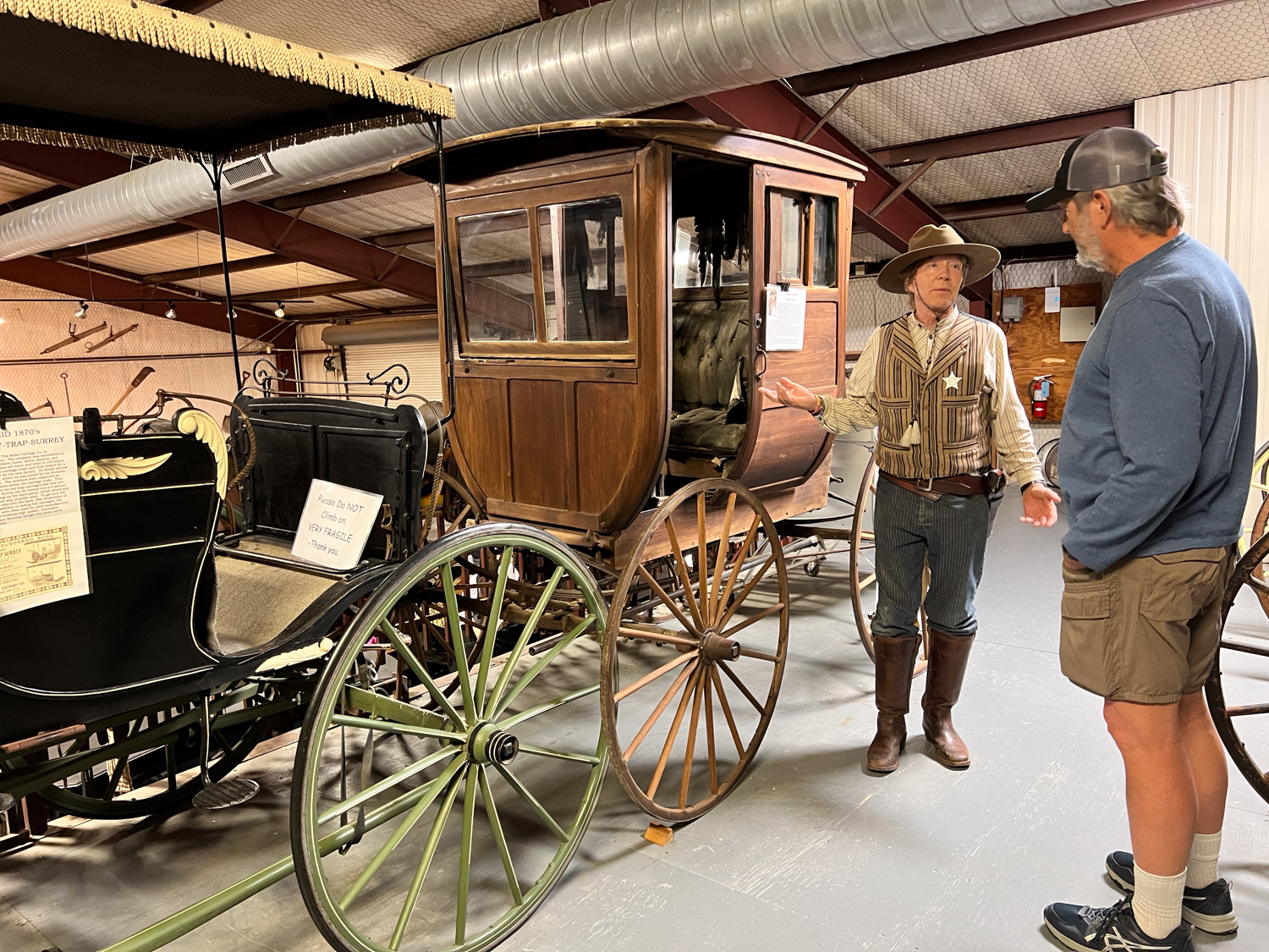
This person, however, was not a mannequin, but he dressed for the period. He was glad to see us and spent quite awhile telling us stories about some of what we were seeing.
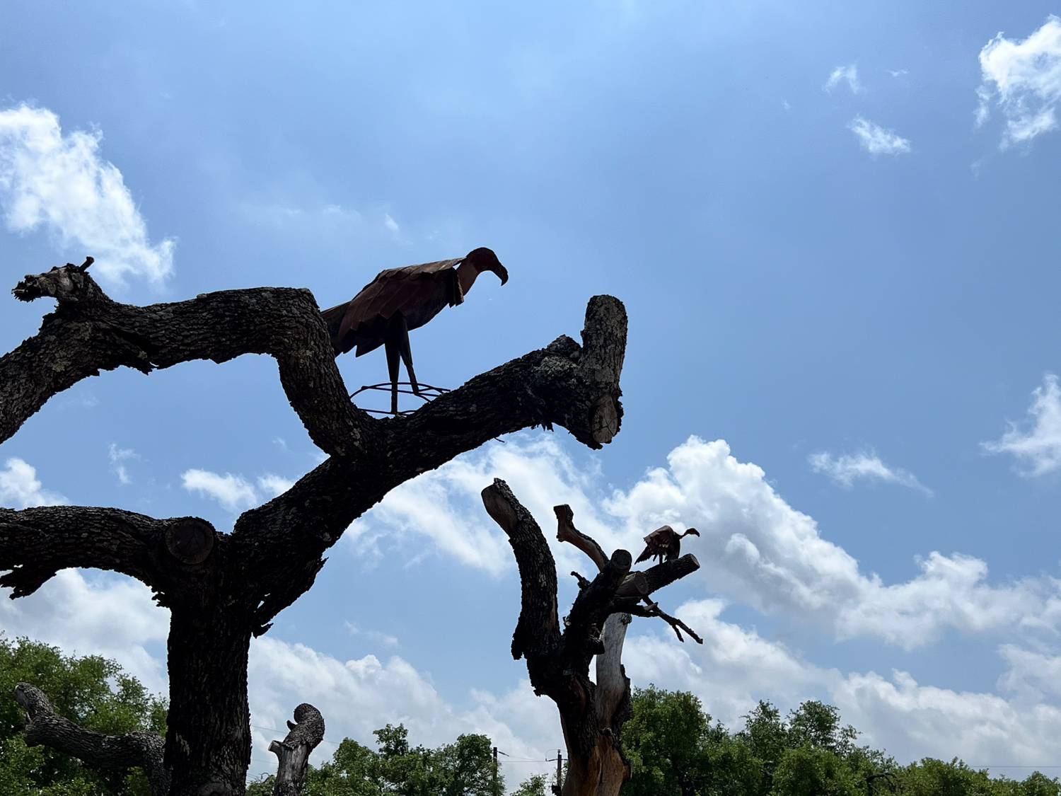
Metal vultures overlooking the fence on the way out.
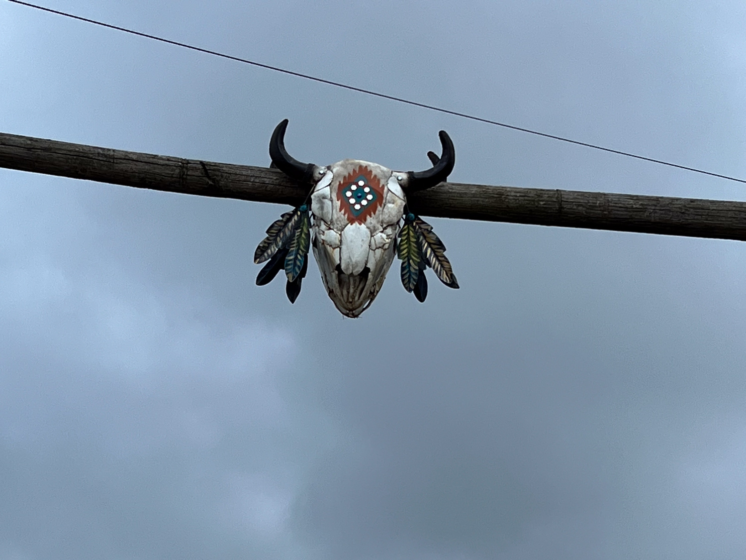
Back at the house I went on a walk. This is above the gate at Katie’s neighbor to the east.
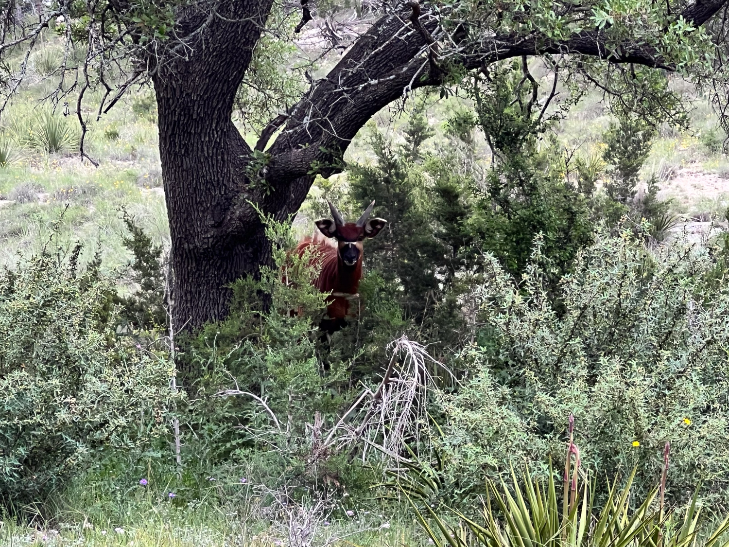
This is across the road. That’s a bongo that we mostly saw under this tree. There are also zebras and springboks on the property.
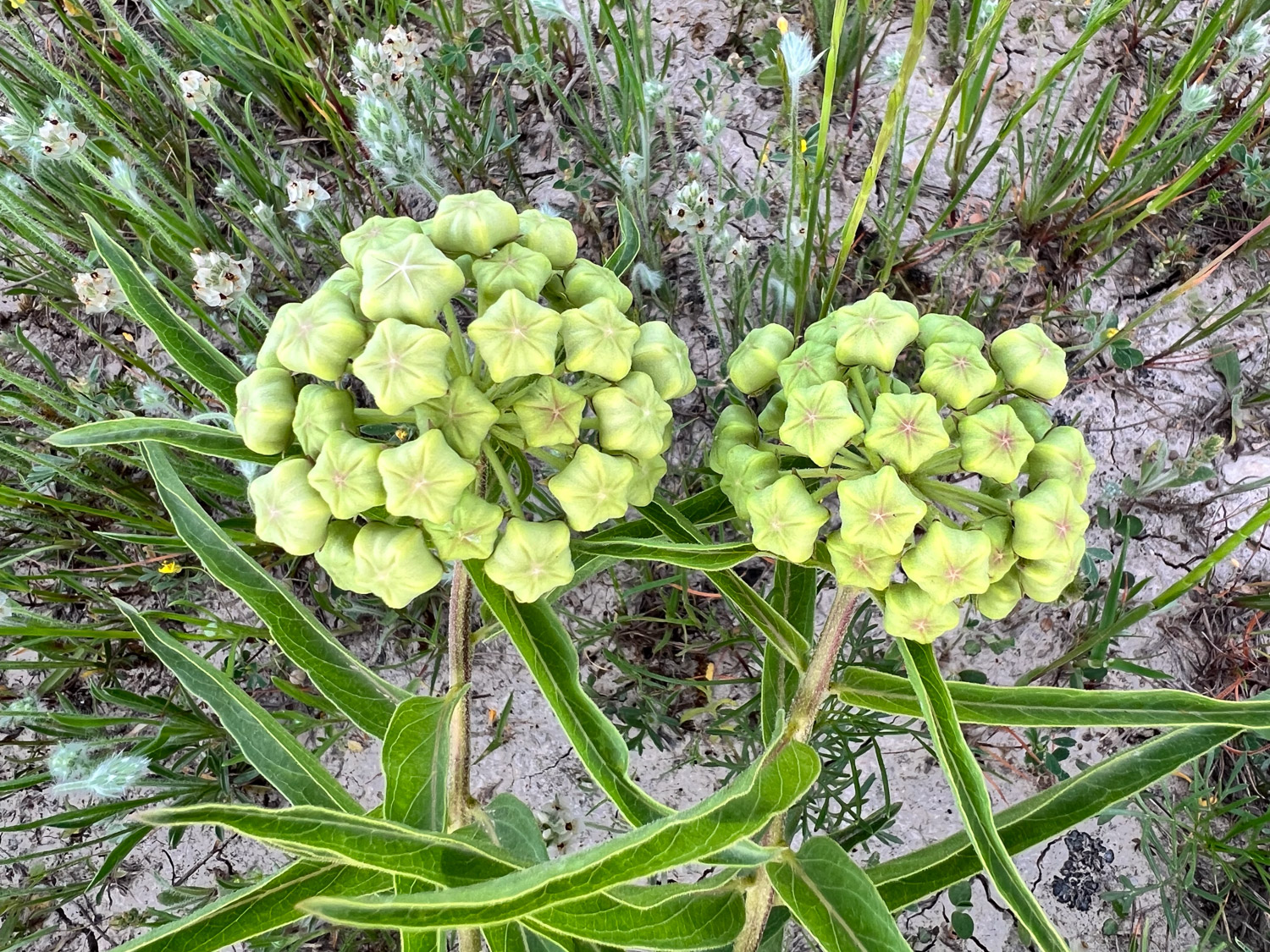
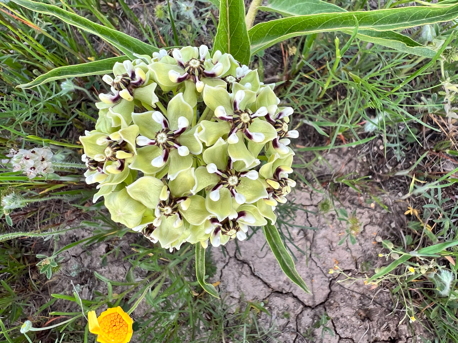
One last photo of my new favorite flower. I find this one fascinating. It is called Antelope Horn for the look of the seedpods. No resemblance at this point. Maybe if I go back in the fall I’ll see some.
I’m slow at getting caught up with photos. I may never be caught up. Part 1 of this trip is here. On Sunday we drove to San Marcos for a glass-bottom boat tour at The Meadows Center managed by Texas State University.
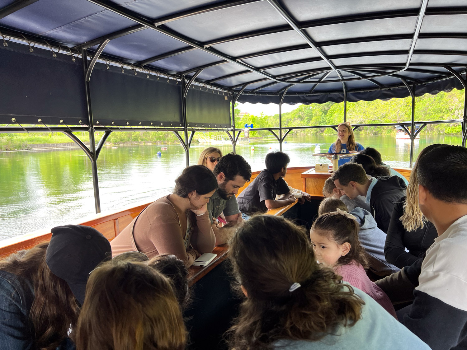
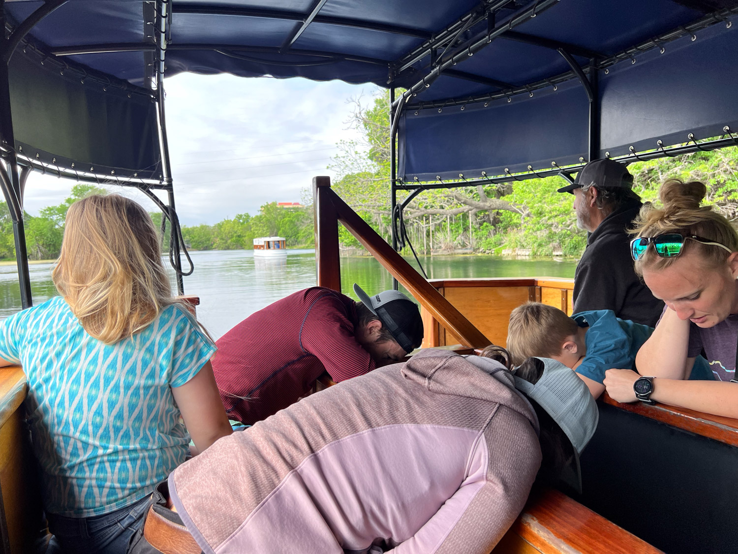
This is the view from within the boat so I can share what the boats look like.
This is the view in the other direction showing out tour guide and the other people on the boat.
We are all sitting around a center channel with a glass bottom.
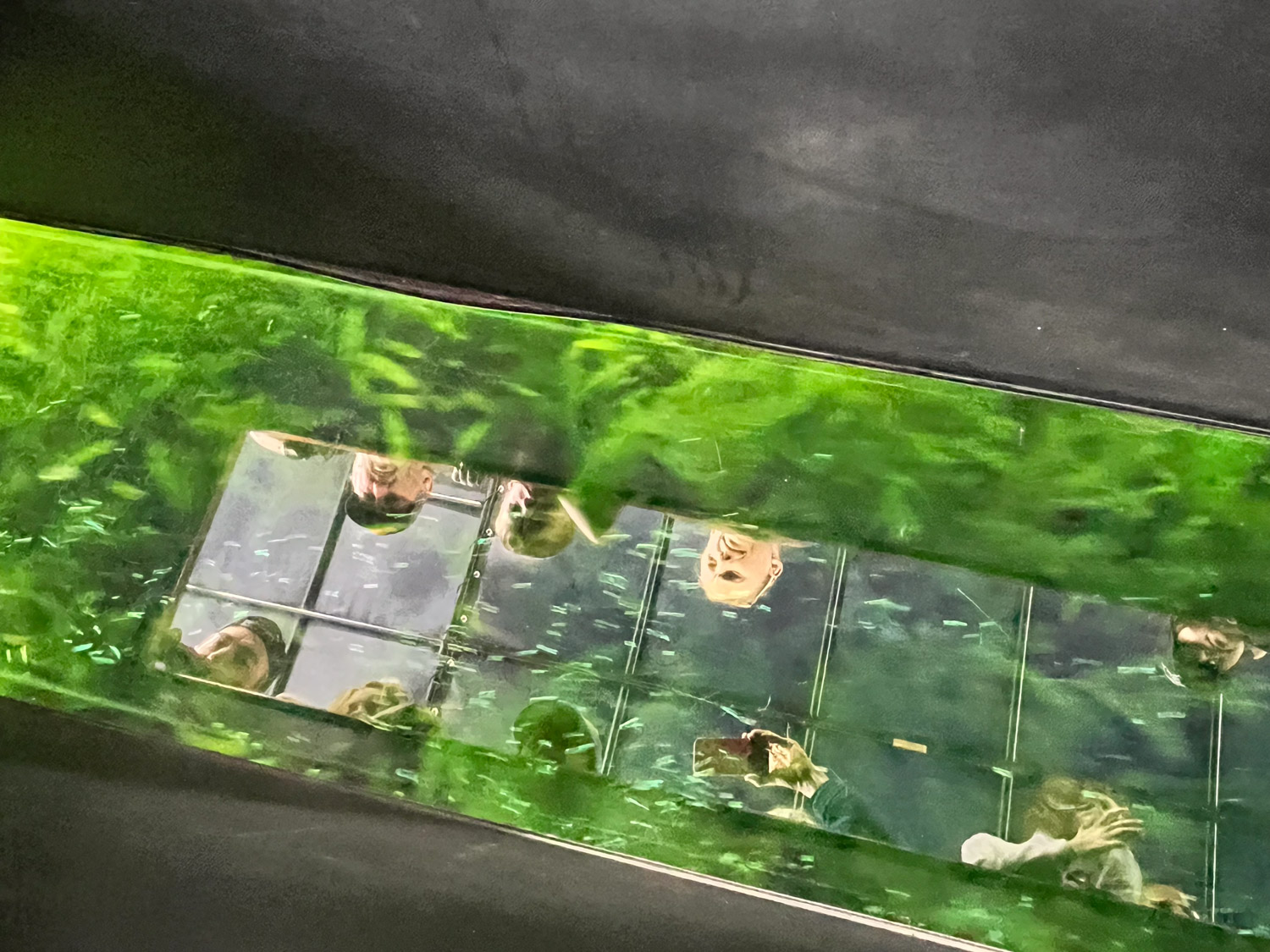
A view looking down into that channel.
A view of the bottom of Spring Lake. There are over 200 springs in the lake, bubbling up from the Edwards Aquifer. The water is at 72 degrees year round and the water from these springs becomes the San Marcos River. The guide pointed out what looked like current at the bottom of the lake in some areas and bubbles in others–those are the areas where water is rising from the springs.
After the tour we explored the Discovery Hall that is housed in the old building that used to be known as Aquarena Springs. For a fascinating glimpse into the history of the entertainment provided by the Aquamaids from the 1950’s through 90’s at this site see this link. Thanks to Kaleena for this great photo of Matt and Kasen sitting on the roof of the Hall.
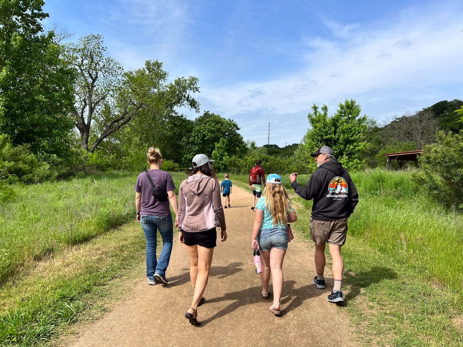
We did a short walk on one of the trails around the Spring Lake Natural Area.
This sign explains that this area may be the oldest continuously inhabited spot in North America.
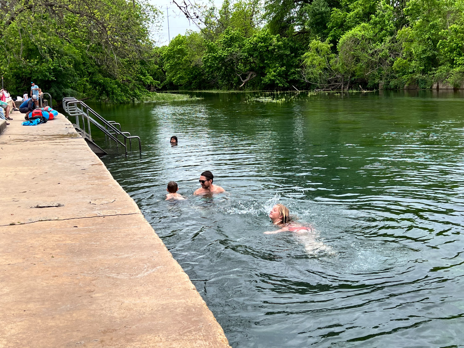
After that we drove into another part of the town and stopped along the San Marcos River where there is public access for swimming.
It was overcast, but warm enough for some of our group to want to get in the water.
Another great photo by Kaleena.
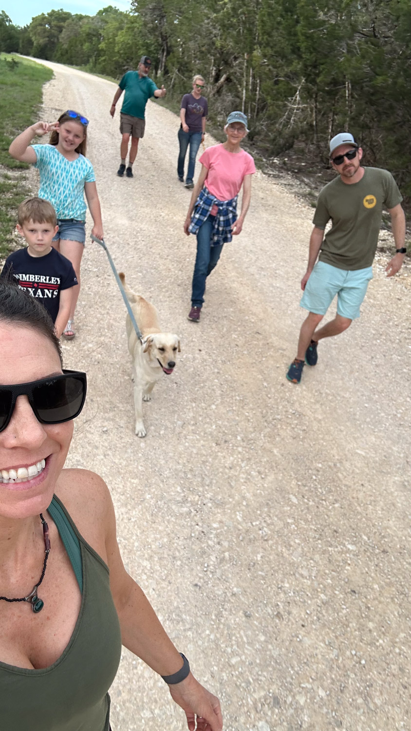
Back “home” we took another walk.
This is a close up view of a flower I identified in the last post…what was that? I just looked back. Pincushion Daisy. I took this photo because of the metallic green bee
Phlox roemeriana
I am experimenting with he ID ability of the phone (a feature I didn’t know about until Kaleena showed me). If I record something as a caption it shows up here. The common name is Goldeneye phlox.