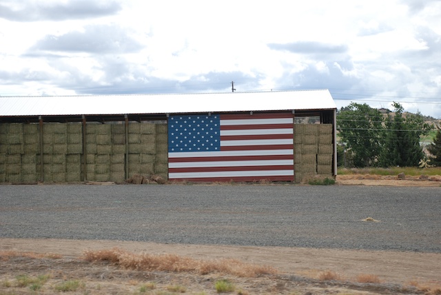
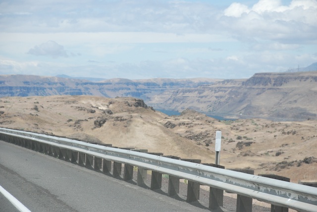
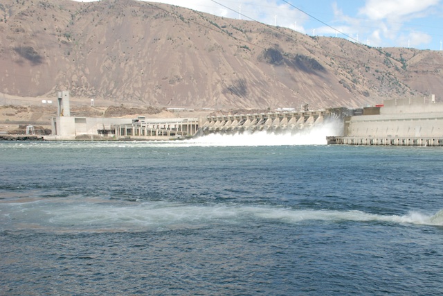
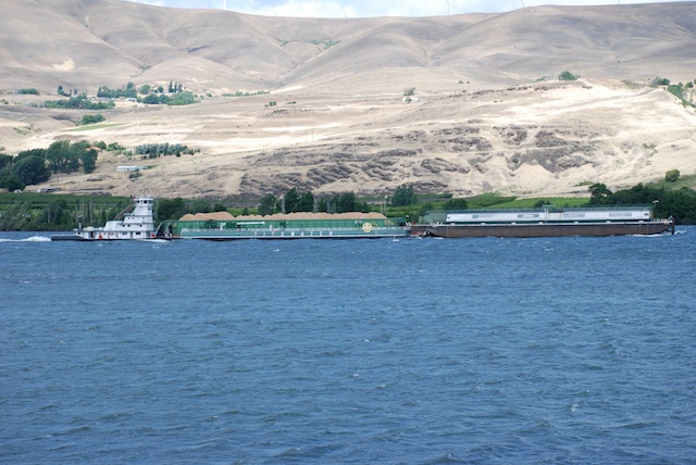
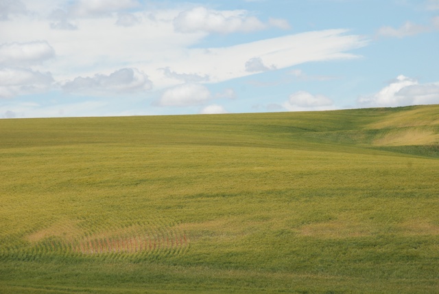
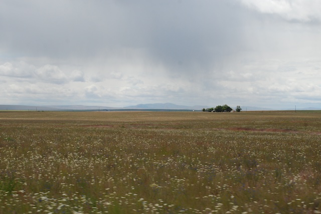
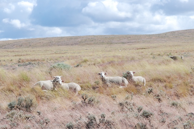
After leaving Imperial Stock Ranch in Oregon we were heading home. There are a lot of landscape photos at 70 mph in this post. I could have left out the blurry ones, but…hmmm…then I wouldn’t have all the impressions that I want to remember. Sorry. It makes me appreciate other people’s very sharp photos that much more. 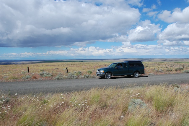 The trusty green truck that Dan got for $5 when his dad moved to Hawaii. Landscape off Hwy. 97 in north-central Oregon.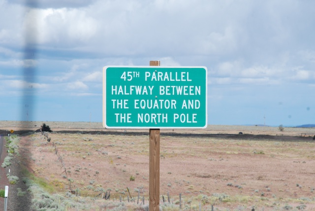
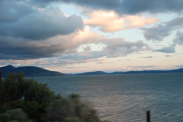 Sunset over Klamath Lake in Oregon.
It was dark as we were looking for a place to camp along the road in California. I realized later that Dan had an ulterior motive for wanting to make it as far as Military Pass Rd., off of Hwy. 97 before it joins up with I-5. If you want to hike the north or east sides of Mt. Shasta that is where you find the trailheads and he wants to do that trip before he goes back to teaching in August.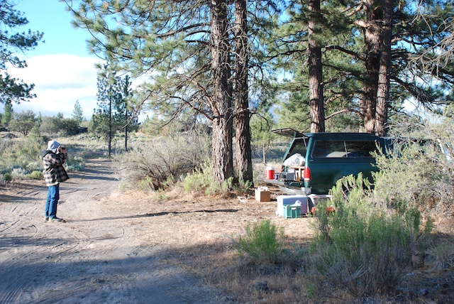 We found a place off the main road, ate what was left in the ice chest, and went to sleep. This is what it looked like in the morning.
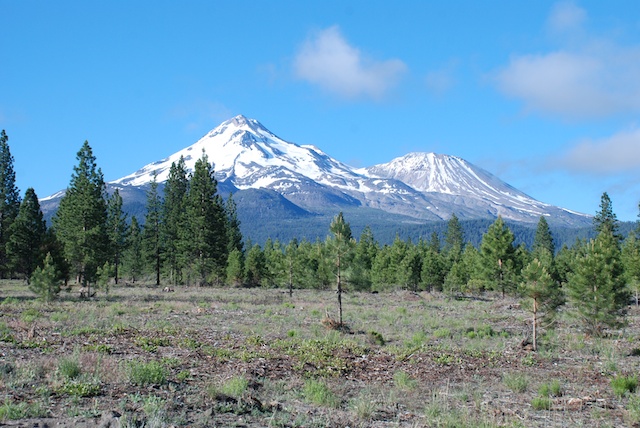 This is the view from our “campsite”.It’s always a thrill to see Mt. Shasta when you drive into California from the north. The peak is 14,162′ and Shastina to the west is 12,330′.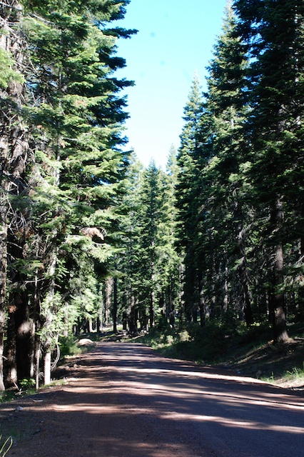
We spent the morning driving the roads that circle Mt. Shasta to the east and finally join up with the highway to head south.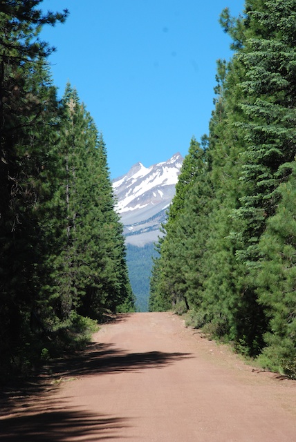
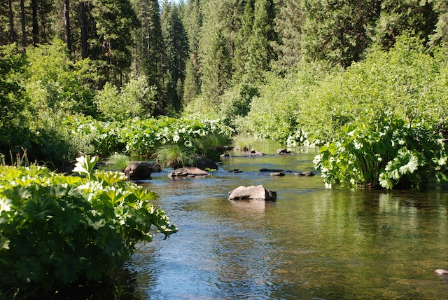 We stopped several times at campsites and trails along the beautiful McCloud River.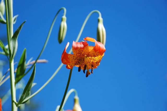
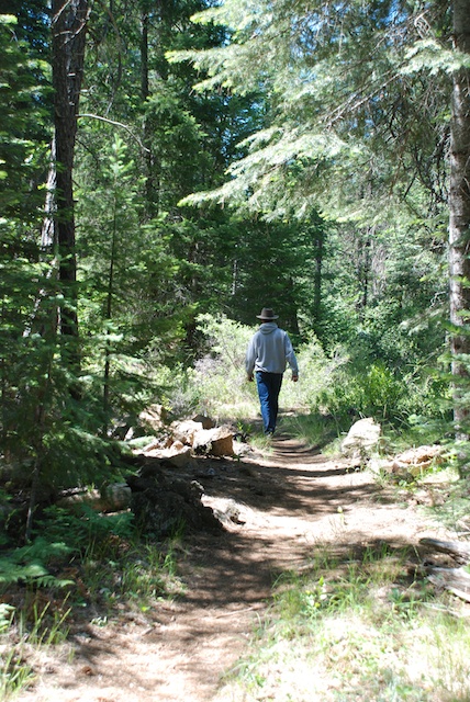
Finally on the last leg home. No more stops.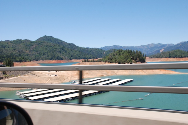 Passing Shasta Lake, indicative of California’s severe drought. This is only June and the lake should be filled with snowmelt.
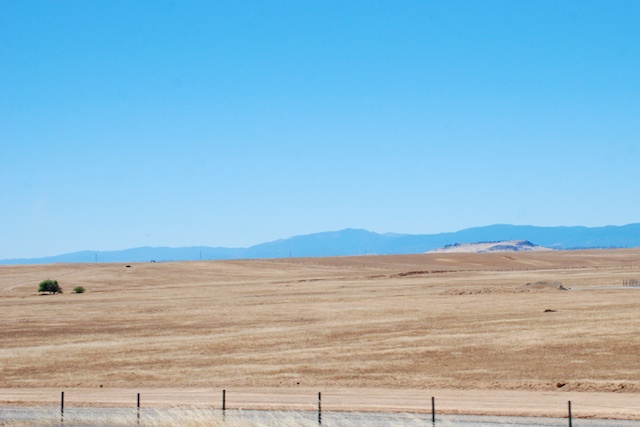 Dry hills typical of the Mediterranean climate of California. Most parts of California have dry summers and wet winters. We depend on the winter rain and snowfall to fill reservoirs and replenish acquirers to be able to produce the abundant agricultural crops that California is known for.
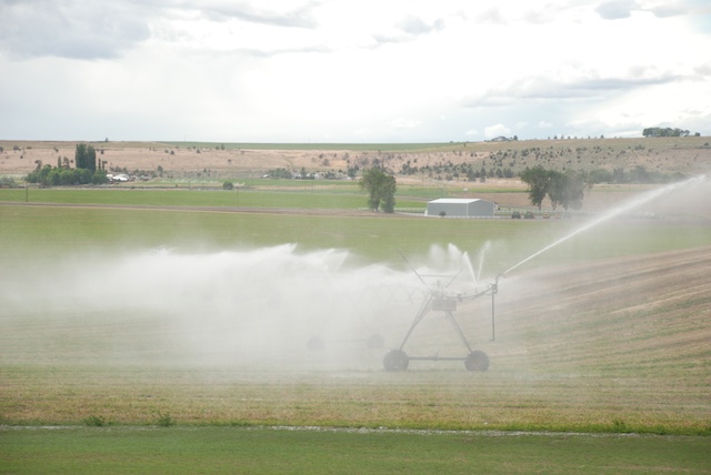
 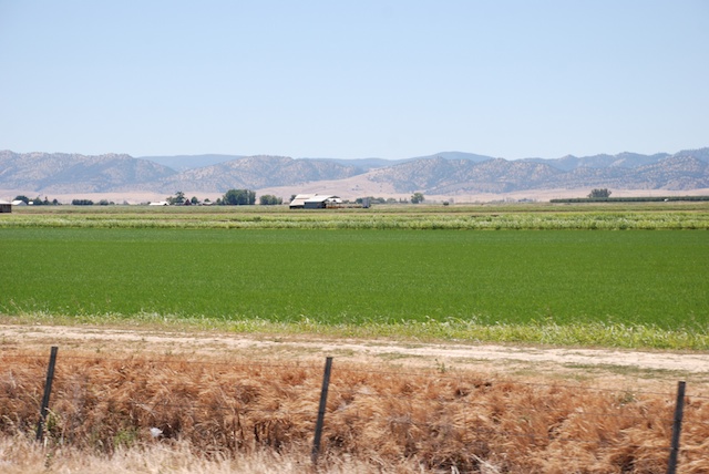 With irrigation this is what the Central Valley looks like. This is a rice field.
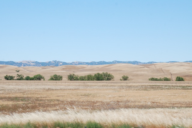 This land is usually brilliant green from about October into April. The brown landscape is normal for unirrigated land. However, last year we had an early rain (September?) and then nothing. What grass germinated died. Many ranchers who depend on the fall grass to feed their cattle and sheep had to sell their livestock. The next rains came in January and they were meager. There was not enough rain or snow, especially following other years of relatively dry conditions, to catch up. You can read about the affect of the drought on California’s farmers and ranchersat Voices from the Drought on Facebook.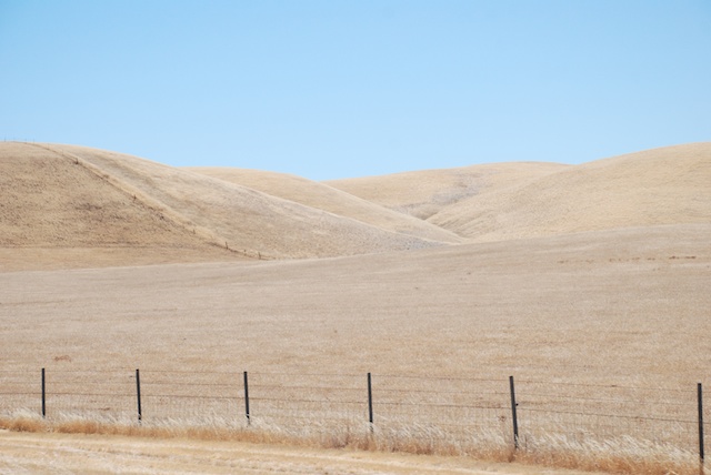
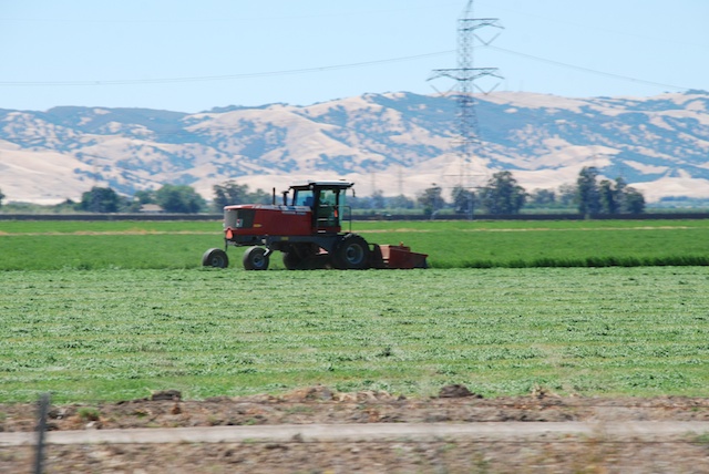 Harvesting hay.
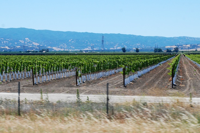
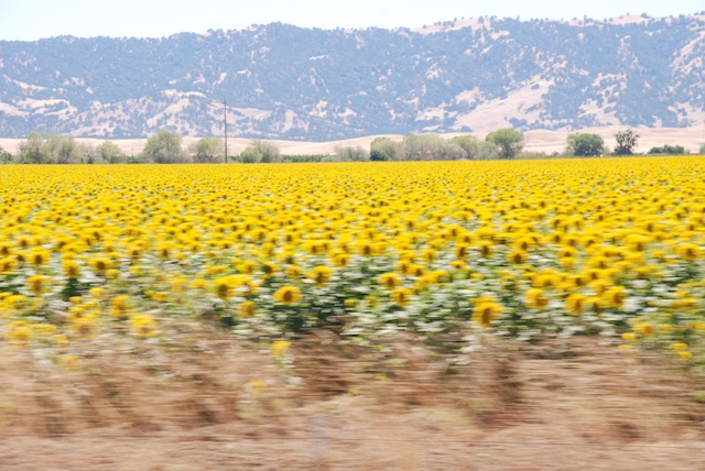 Sunflowers at 70 mph. The dry hills are typical of California in the summer. The valley crops are grown with irrigation water.
Well, I got sidetracked into a semi-documentary. These photos in Yolo and Solano Counties meant that we were getting closer to home.
Here is who greeted us when we pulled in (my camera doesn’t seem to be doing any better at 0 mph).
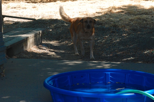
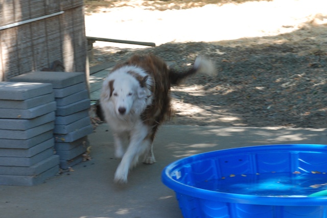 We had a wonderful trip but it’s good to be home.
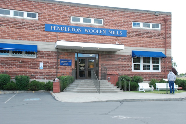
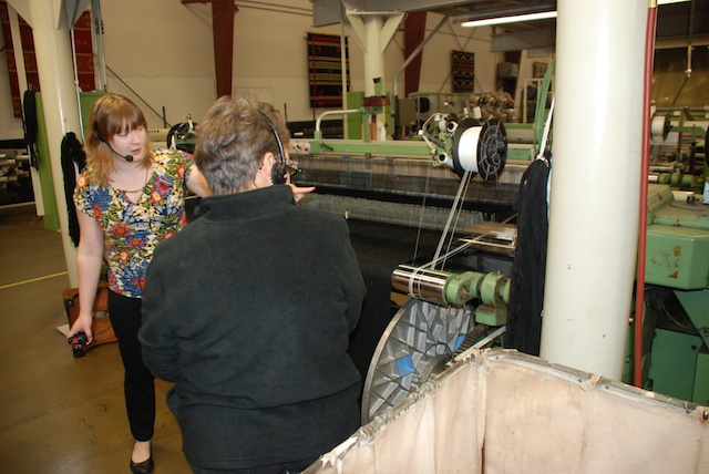
 There were about a dozen people there for the tour even at 9 a.m. on a Monday morning. It was interesting to see the workings of the mill but now I have a lot of unanswered questions. We all wore headsets so that we could hear the tour guide over noise of the mill machinery but that meant that there was no opportunity to ask questions while we were walking. And the tour was fast. I would have liked to stop and watch what was going on with each loom. Now that I’m looking at my photos I realize that I have even more questions about what I was seeing. I guess I’ll just have to go back!
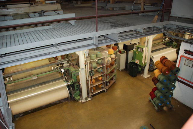
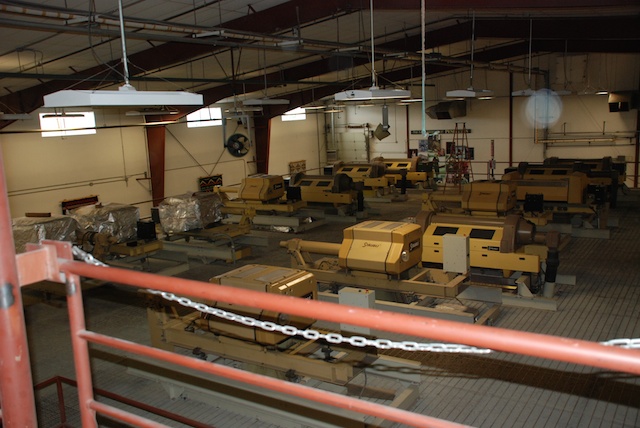
 The Mill uses Rambouillet wool from Oregon and surrounding states and Merino wool from New Zealand and Australia. The wool is scoured in Texas and then comes to Oregon for spinning and weaving. The carding and spinning equipment was on the second floor. That room was quite humid. The guide told us that high humidity lessons the quantity of airborne particles so employees don’t have to wear dust masks. Now I wonder if that is the main reason for the humidity or if it makes carding and spinning more efficient (or both). The photo above shows the carding equipment operating behind plexiglass.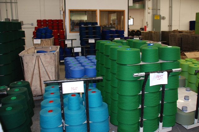


 We were entertained by following our map books. We started out with California and Nevada. I think we picked up Idaho somewhere on the way. Later we found Montana and Wyoming in a used bookstore in Jackson, WY. Eventually we found Oregon in a bookstore in Pendleton. We found these books to be a way to keep the travel interesting even in the broad stretches of “nothing” in the high desert landscapes. There are always geological formations, land features, mines or mountain-tops with names and the books offer much more detail as far as land ownership and dirt roads than regular road maps. The books came in particularly useful when we wanted to camp along the way and find roads into Forest Service land. (Yes, I also have an iPhone and I use it, but there is not always service and sometimes it’s just easier to see the whole thing on one page.)




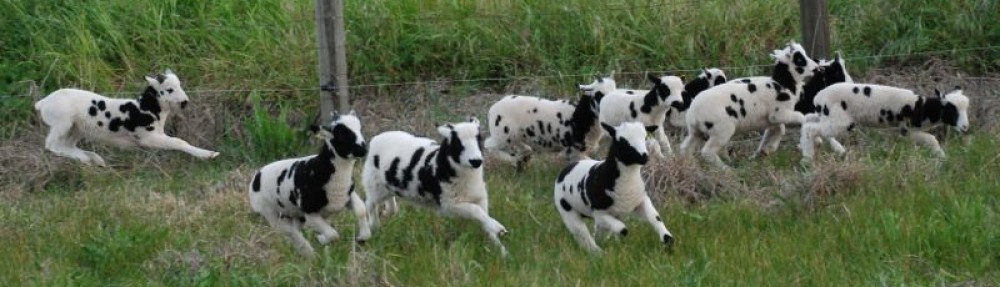
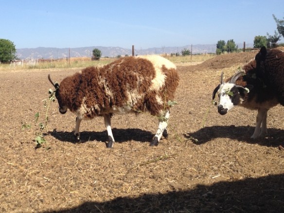 However I’m not happy that the branches get stuck in their wool.

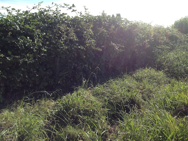

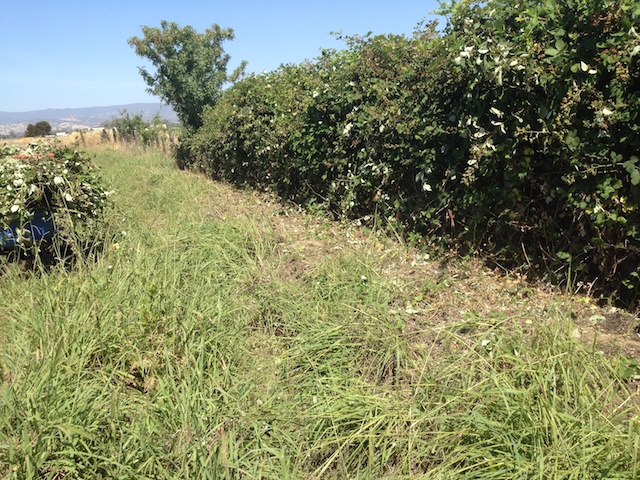
 There are plenty of these still on what is left and they will be easier to get to. With my luck though they will all ripen just about the time that I go to Texas for the birth of my granddaughter.
 This is a view to the east looking from the museum.


 There was a room devoted to wildlife art by Charles Russell and I took a few photos there before reading the sign that you weren’t supposed to photograph any the Russell work.


 Late evening view from Signal Mountain.


 Meridian Jacobs' Blog