I forgot to put a couple of photos in the last post. Besides the BearFest that was going on through the summer in Grants Pass, there was also a Fifties celebration the week we were there. There was a car show that evening and here are some cars that we saw in the motel parking lot.

I have no idea what they are but I took these photos to show my husband.

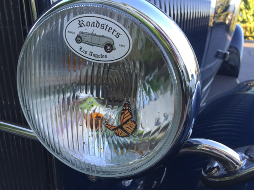
This is not how butterflies normally look on my headlights.
We got on the road about 7:30 and drove to Selma, Oregon where Jackie’s sheep had been delivered the day before. She was picking up two English Leicesters that came from Michigan.
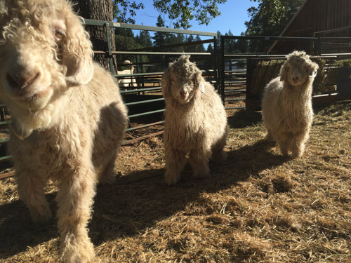
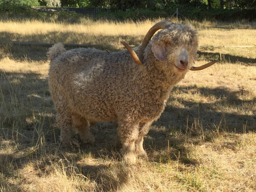
Carol Ronan graciously took time to give us a tour of her beautiful farm. She raises Angora goats (above) and Gotland sheep (below). Information about her sheep and goats (and the beautiful farm which is for sale) is at this link.

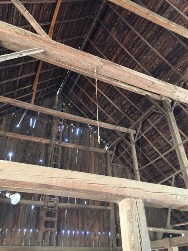
The animals have access to this 100+ year old barn that has been reinforced and given a new roof (which will probably give it another 100 years).

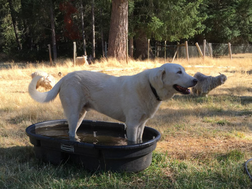
I don’t remember the dogs names but this was an older one who put up with the nosy sheep.
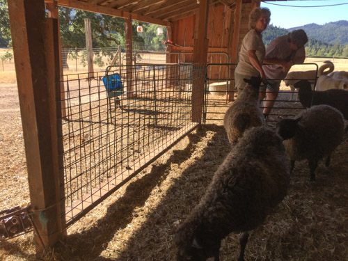
I took this photo because I wanted to remember this oh-so-simple feeder idea. That welded wire panel is not a fence. There are two panels attached to a 2×6 at the bottom and to posts with slightly tapered pieces of wood on the sides. Perfect for dropping in a flake of hay and feeding on both sides.

We walked to the field with the bucks…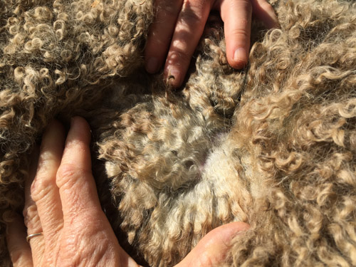
…and examined fleeces.
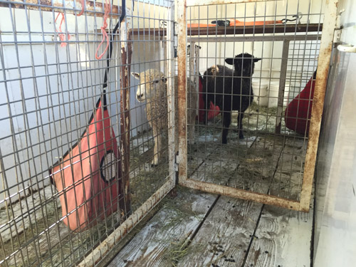
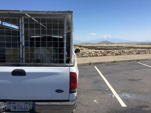
Here are Jackie’s new sheep who had been housed in the trailer overnight.
They were easily switched to my truck and we got on the road. There are not too many photos of the part of the trip that became more of an adventure. I didn’t want to backtrack to Grant’s Pass and I-5. BORING. If you take Hwy. 199 south from Selma you can turn off onto a road that winds its way through the rugged Siskiyou Mountains to Happy Camp. It wasn’t a good idea for me to be taking photos while driving on this road that was full of switchbacks and Jackie probably would have thrown my camera out the window. We didn’t stop because we had spent a lot of time at Carol’s and had planned to make the next stop by mid-morning (weren’t going to make that) and get home in the afternoon, trying to avoid being on I-5 through Redding at the hottest part of the day.

At Happy Camp we turned east onto Highway 96 and watched for landmarks until we got to this sign and across the road…

…this bridge where we crossed Horse Creek and drove north along hillside edging a green valley . We were supposed to go 2 miles and find the correct street address for the farm where my ram would be. We saw a few numbers on mailboxes, passed what should have been the right place, found a place to turn around and chose a driveway that seemed to be in the right place. We drove in past barns and farm equipment but didn’t see a house, sheep, or any signs of someone looking for sheep buyers who were late. We drove out of the driveway, down the road and chose another driveway with the number that would be the neighbors to the place we were looking for.
As I drove down the steep driveway, several large dogs ran out barking. However I saw someone looking through a window and waited for him to come out. He wasn’t happy about seeing us and told us to go back up the road and take the driveway with “the lifetime gate”. “Can I drive forward and turn around down there?”, I asked. “No” was the answer. OK then. I’ll back up the steep rocky driveway that has a sharp turn onto the road and a steep drop-off to the side, while trying to see the end of my truck through the plywood sheep crate on my truck. I did that with several back and forths and only one minor mishap.

Finally backing into the road in the wrong direction we drove down it again, passing this sing, turned around and came back. (Note: When my sons have fought fires in these mountains they have been turned away from entering access roads to the forest by surly land-owners. The firefighters are warned by their supervisors to be careful in or avoid areas where they have spotted marijuana or equipment for growing or harvesting.)
So we took the same driveway we had before with the barns and cattle equipment. Steep-Driveway-And-Big-Dogs-Guy was there to meet us, having gone from his house, across the creek, through the barns, to this upper driveway. He pointed and said “no, go back to the lifetime gate”. Lifetime gate? When we looked more closely there was a closed gate down a dirt road that branched off to the right of this main driveway. Jackie opened the gate and we drove into what looked like a little used driveway that stopped before you got to a house where I could hear children. So at least someone was home.

I found the sheep owner who strapped her baby on her back and we walked out to the barn with other kids running beside us. We arranged bales of hay to create a step up into the truck and loaded the ram. She pointed us out a dirt road that ends up on a different paved road which seems to be their main access and is “easier”.

This is the field (sheep in the distance) that Kenleigh’s Legolas left behind.
We drove east through Yreka to I-5 and headed for home. I always stop for a photo at this overview of Mt. Shasta. We stopped several times to check on the sheep. There was really nothing we could do about the heat but the truck thermometer was showing 108 (or was it 109?) through Redding. It was in the 100’s for most of the trip, but the sheep survived. I didn’t dawdle, wanting to get them out of the truck as quickly as we could.
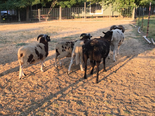
I put Legolas in with the young rams and a wether. They followed him around for awhile.

There was fighting among themselves, but not with Legolas, because it was obvious that he would be the dominant ram of the bunch.

This will be the first year that I will breed the bulk of the flock to 2-horned rams. There is Kenleigh’s Legolas (Lego for short), Meridian Catalyst, a 2-horned lilac ram, and bide a wee Buster, the younger ram with 4 horns.

 The Robert Louis Stevenson State Park to the north of the highway is closed but the Table Rock trail is south of the highway.
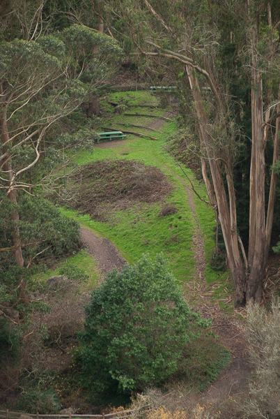
 The trail starts out in groves of oak, madrone, and bay trees. This area was damp from recent rain and the trees looked as though they were covered with green fur.
 A new kind of
  Making things larger than life through the lens.
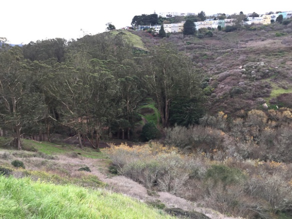
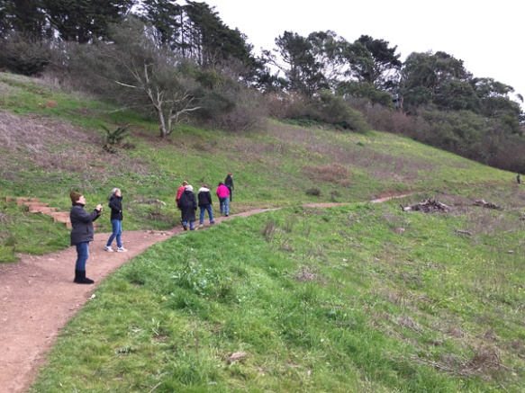
 As the trail descended the other side of the first ridge the vegetation seemed more typical of California chaparral. These are the seeds of the California Buckeye.
 The California buckeye is one of the first deciduous trees to leaf out in the spring, but it also goes dormant and loses it’s leaves in late summer. Although the “nuts” may seem similar to chestnuts, these are toxic.
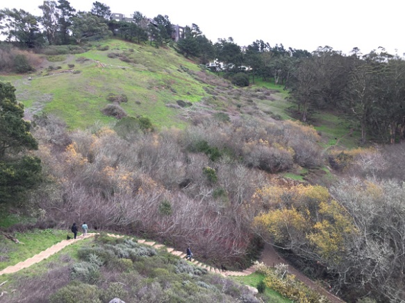
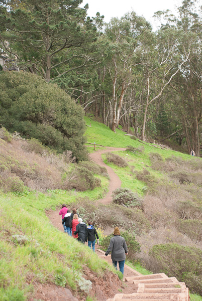
 The trail leads to the western end of a formation called the Palisades, volcanic rock that towers over the northern end of the Napa Valley.
 That is the town of Calistoga down below.
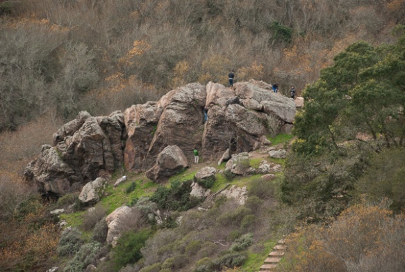
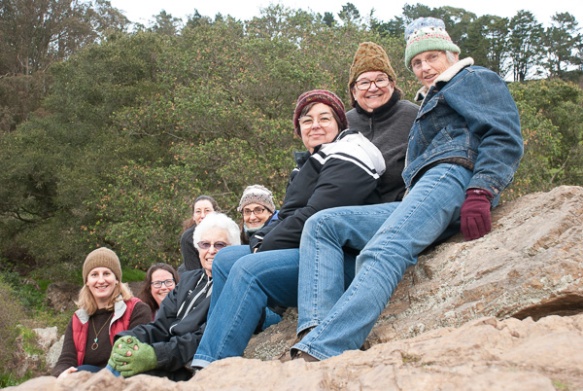
  We sat on the rocks known as Table Rock for quite awhile, soaking up the sun and watching birds and the beautiful sky. The fire missed this area, but not Mt. St. Helena in the background and the lower area along the highway.
 As we sat on the rocks Dan noticed a Cal Fire plane flying around Mt. St. Helena and then saw it drop something–we wonder of that is seed to help stabilize the burned landscape.
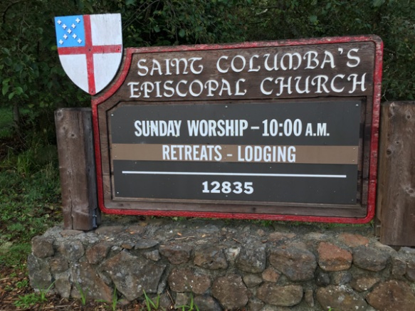 This local church was booked for any of the Fibershed group who wanted to spend the night after the long day at the Symposium.
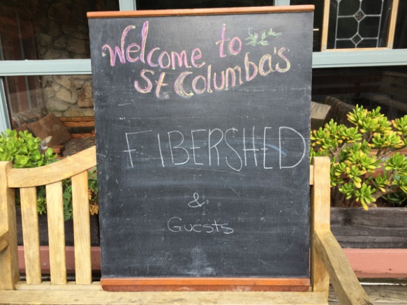
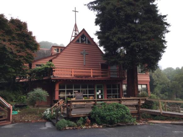 It is a great place to stay for anyone traveling in that area.
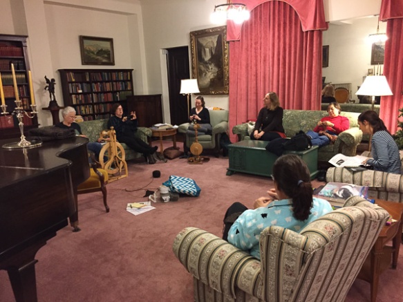
 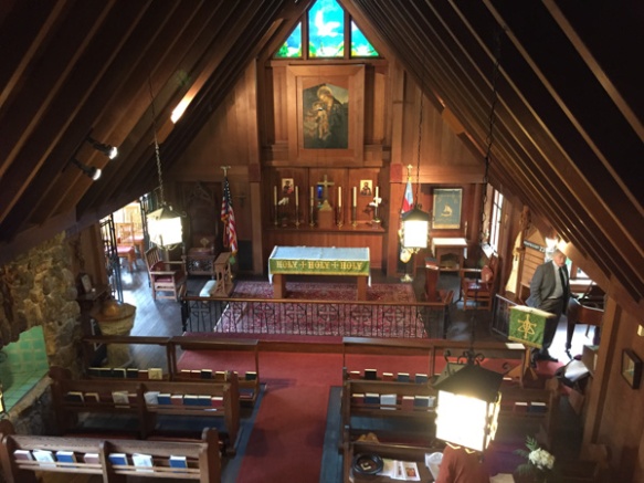 This was originally a house that was purchased from the Frick family in 1950 and turned into a church. There is a fascinating multi-level maze of rooms and halls and stairways. This view looks down from the third floor on what was originally the family’s living room.
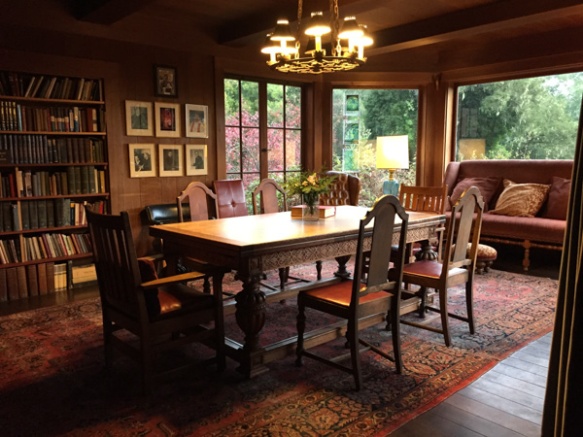 I love this dining area, partly because the table is of the same era (at least from looking at some of it’s features) as the table that my mom bought and we still use, although this one is in much better shape than ours.
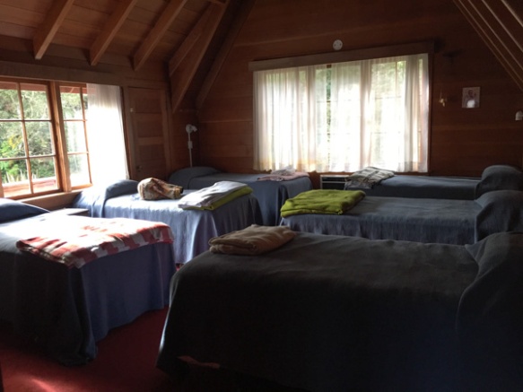 I stayed in this bedroom with five other women. There are several bedrooms with different numbers of beds. I think the place can accommodate 36 people.
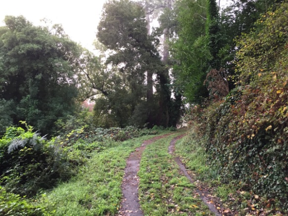 When I got up on Sunday morning I decided to take a walk before our meeting and headed up a road I found behind the church.
 This is my kind of Sunday morning.
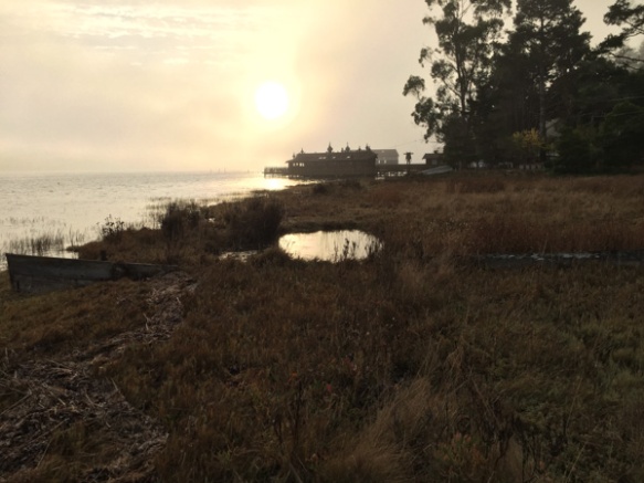 The road I found led me back down to the main road and Tomales Bay.
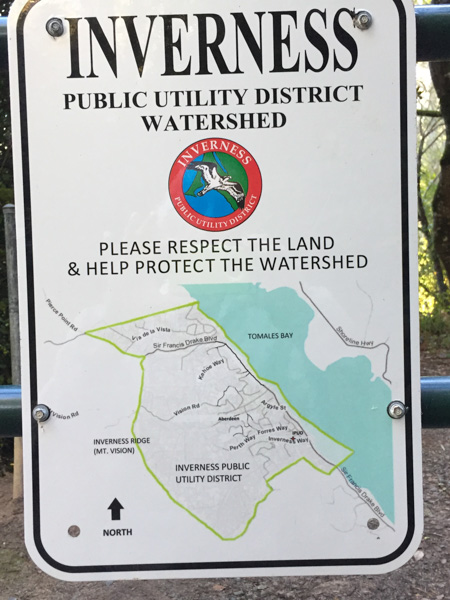 It is great when you find open space accessible to the public.
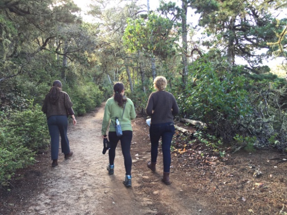
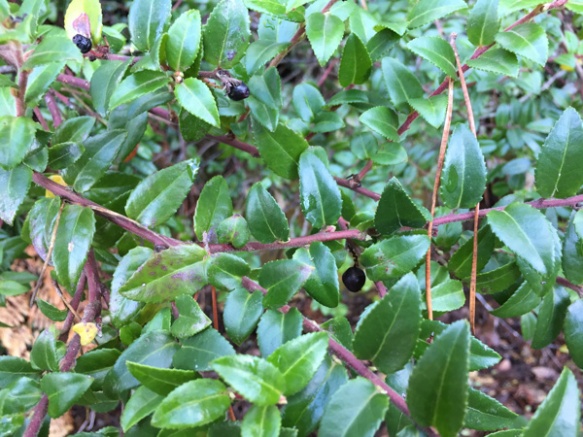 Rebecca pointed out huckleberries which were still on the bushes, although the normal harvest season was over. I wouldn’t have known and would have avoided these unknown berries.
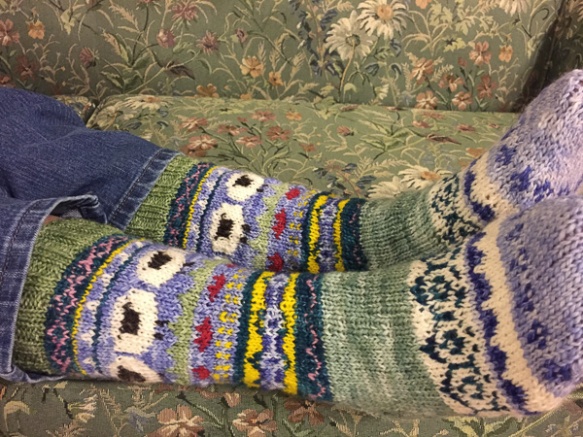
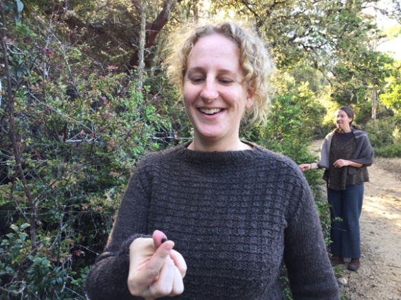 Stephanie (wearing her handknit Jacob sweater) ate her share as did the rest of us.
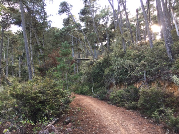
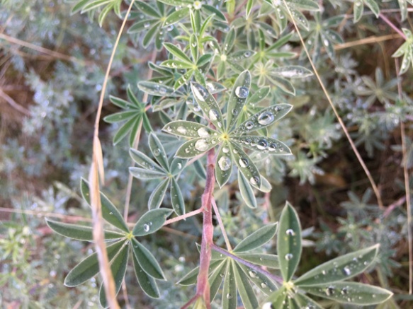 This is a much wetter area than where I usually find myself and there were still signs of the previous night’s rain.
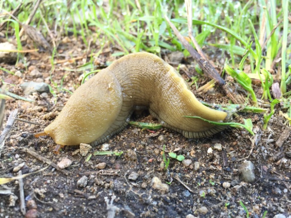 Another testament to the dampness were the large slugs that we saw.
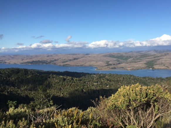 The view overlooking Tomales Bay. What a beautiful day we had!
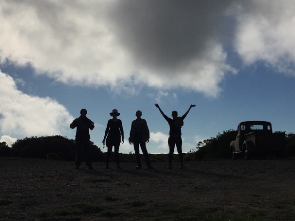
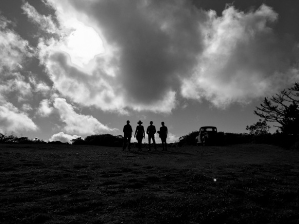 As we were coming back down from the ridge that has a view of the ocean, another hiker coming up the hill saw our silhouettes and offered to take our photo. This is the view that she saw.